






The Rat path

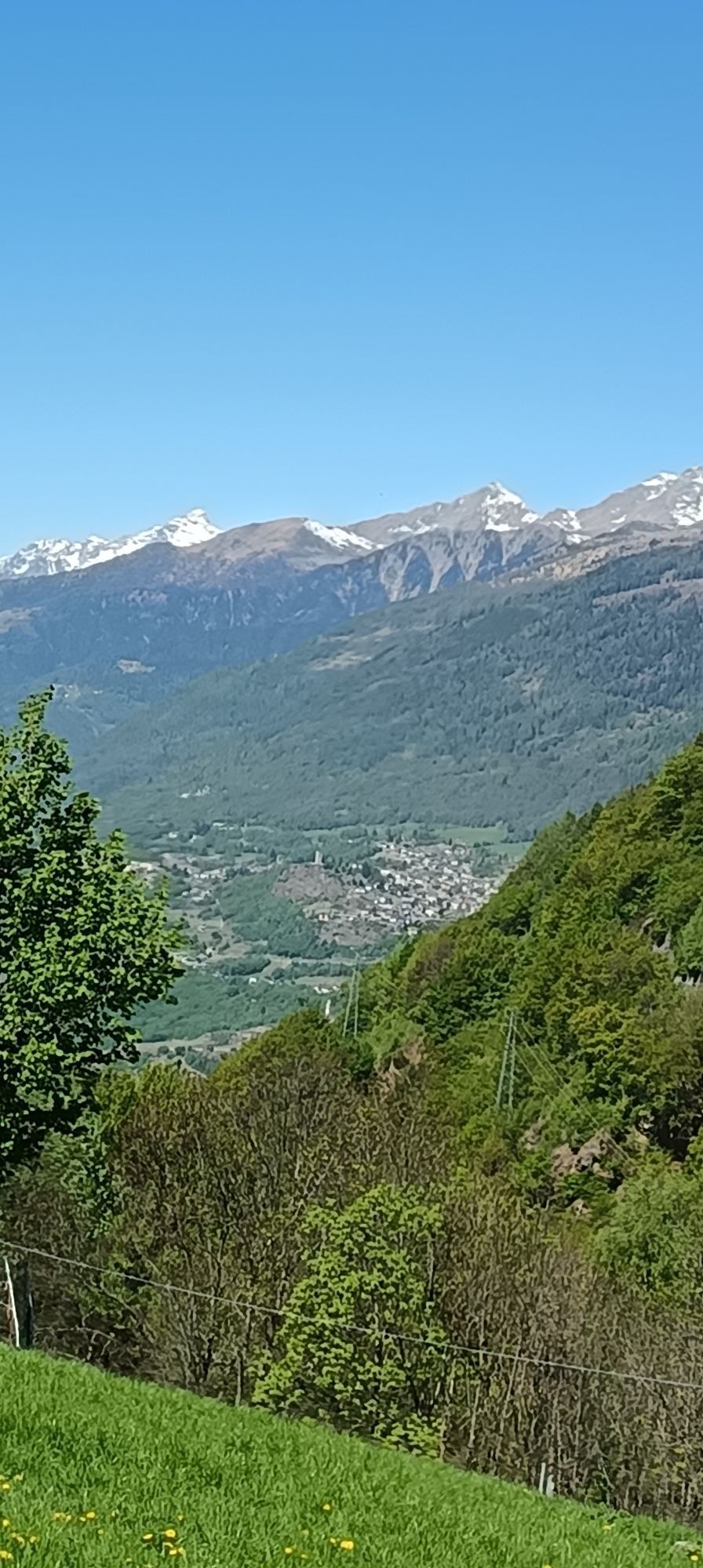
Pleasant hike recommended for families in all seasons. Rat is the name of the strip of vineyards, woods, meadows, and rocks located further east compared to the strip of woods and rocks crossed by the...
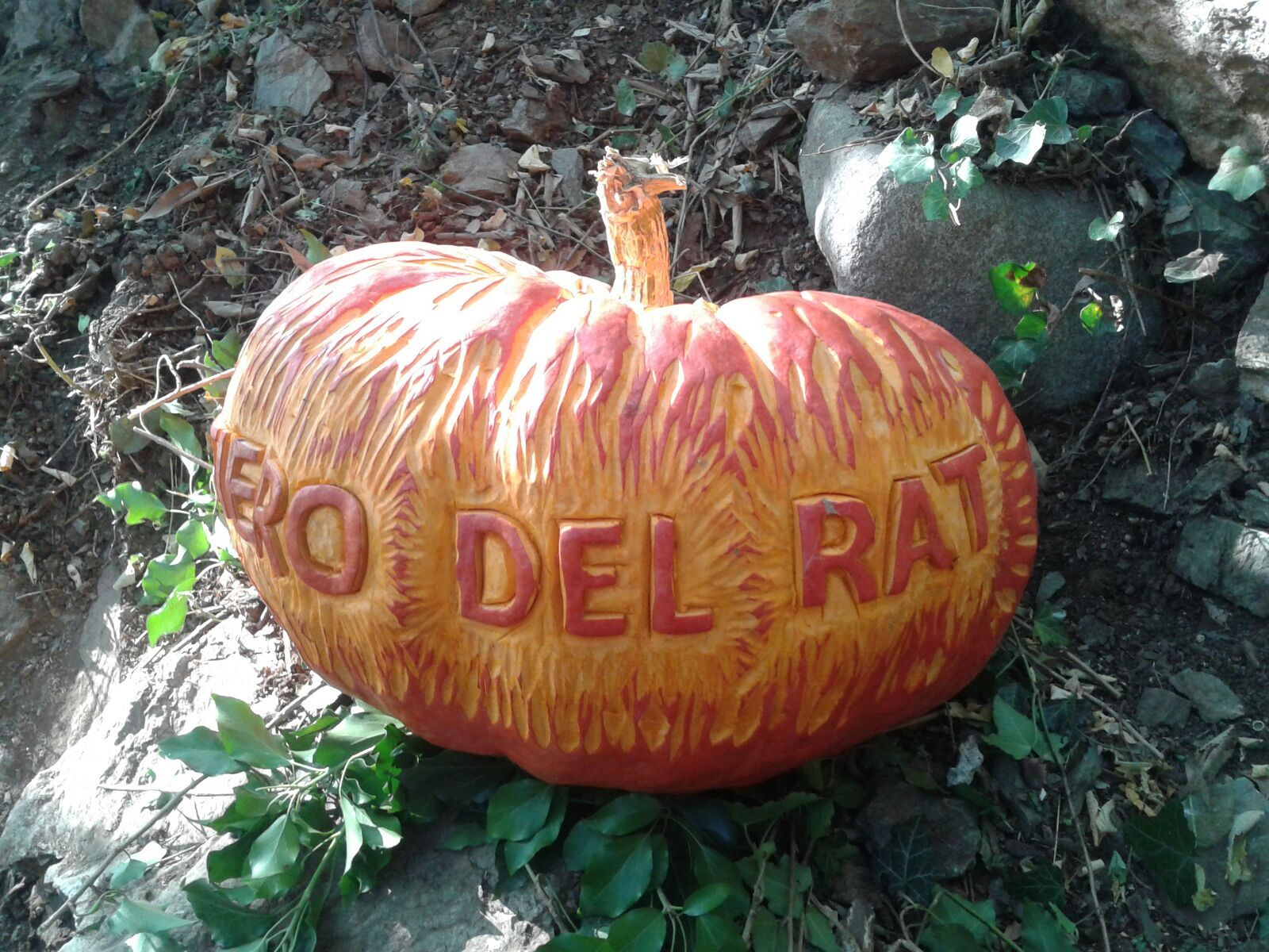
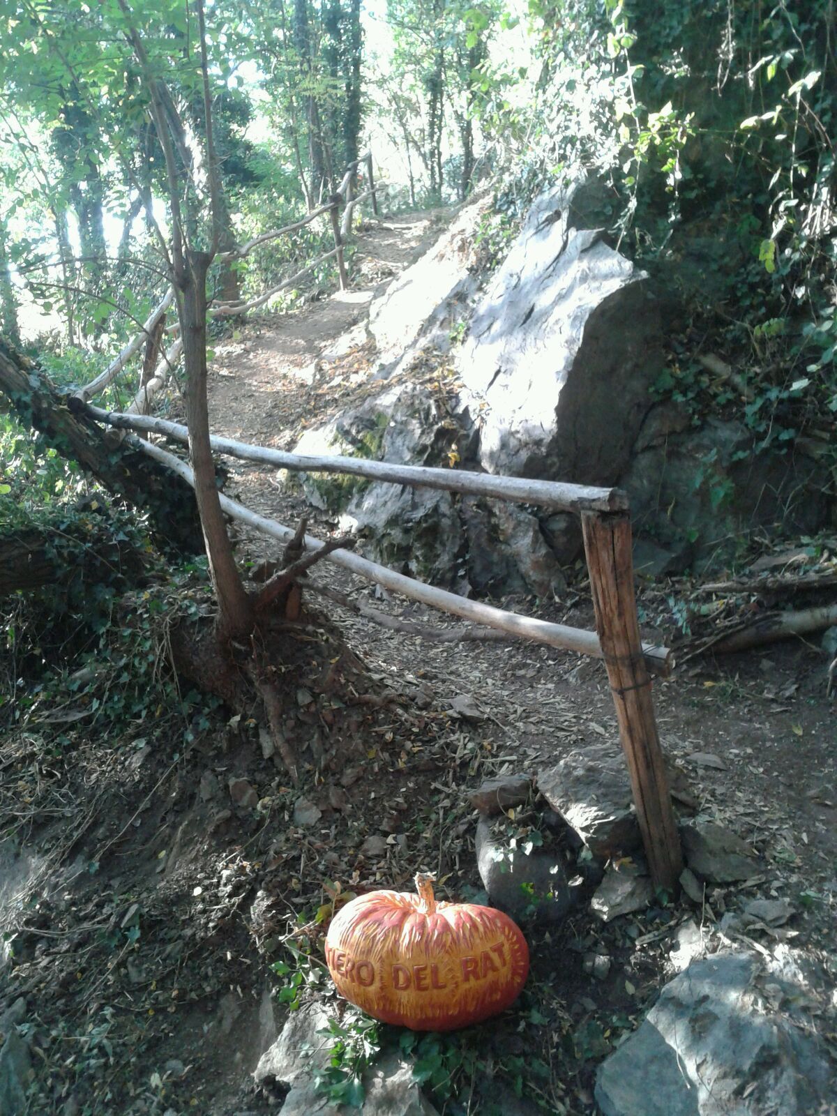
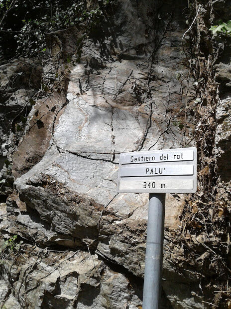
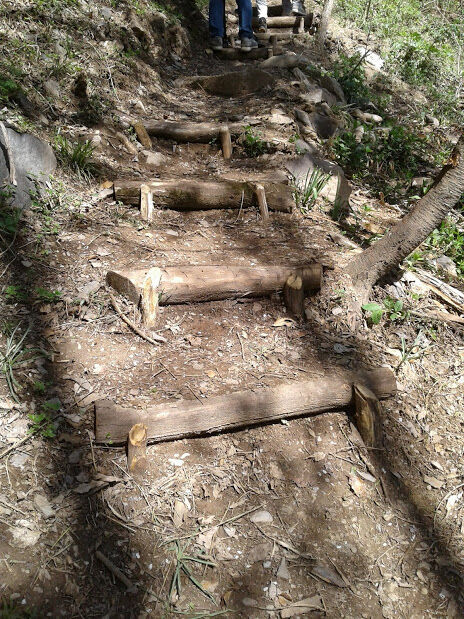
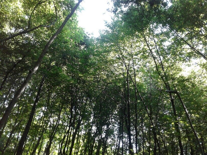
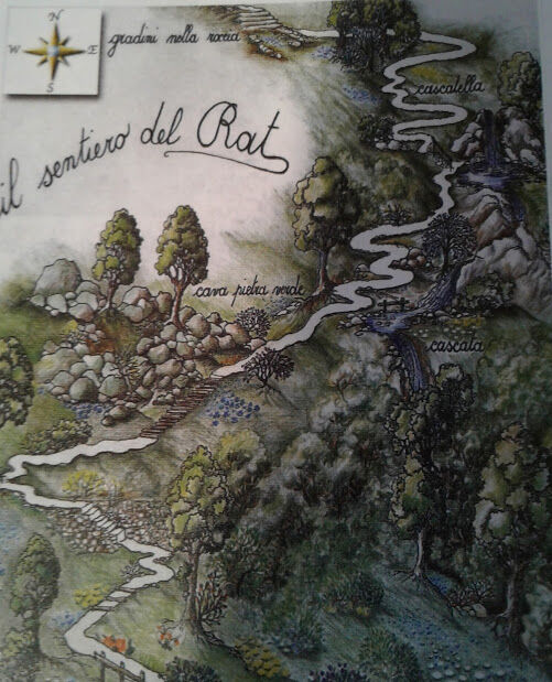
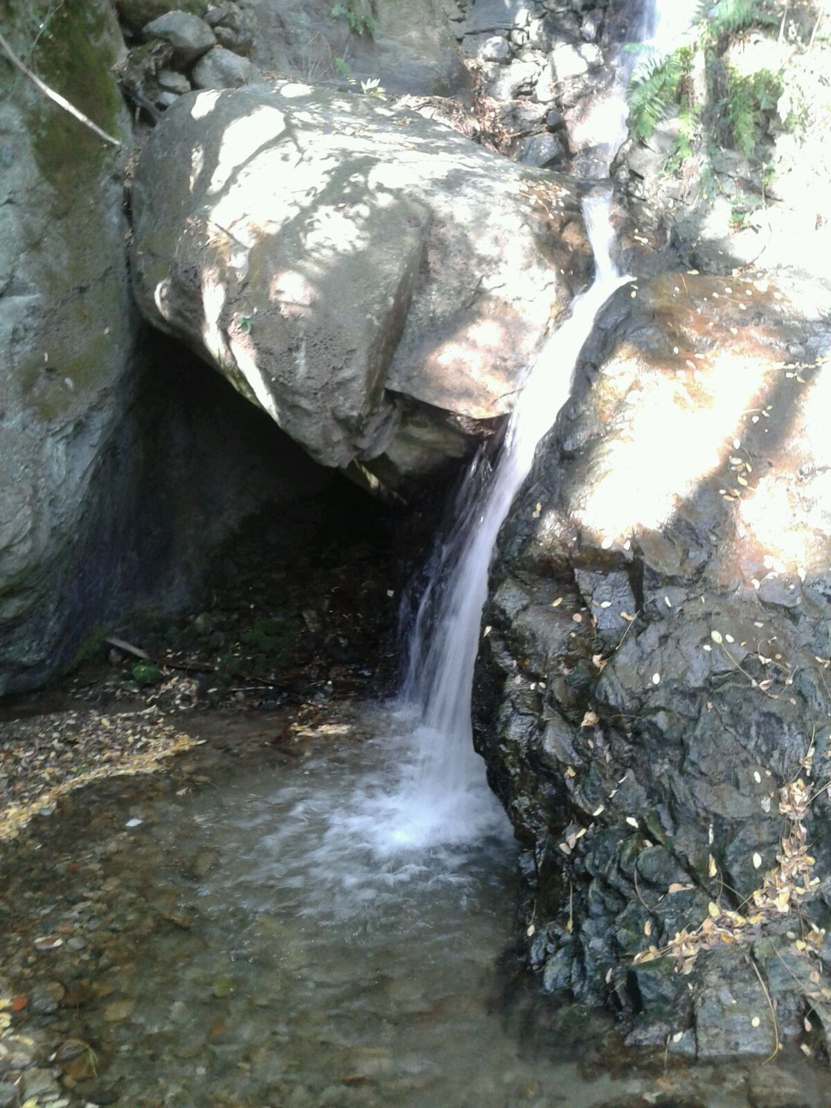
Pleasant hike recommended for families in all seasons. Rat is the name of the strip of vineyards, woods, meadows, and rocks located further east compared to the strip of woods and rocks crossed by the path. To venture into this unspoiled environment, you need to reach the hamlet of Palu', the easternmost part of Poggiridenti Piano, near the border with the municipality of Tresivio. After reaching the few houses of the district and passing a washhouse, you follow a stretch of country road to find the start of the path at an altitude of 340 m. The path starts to climb steeply up the mountain side in the shade of the thicket, among maples, ferns, and ivy branches colonizing the dry stone walls. A series of thirty signs created by the children of the Gianni Rodari primary school in Poggiridenti, placed at various points of the ascent, illustrate the local flora and fauna. Continuing along the path, at a certain point you encounter a landslide body that extends at the foot of Prede'ra del Rat, the green stone quarry. After passing the short stretch of boulders, the path continues to climb. At this point, the trail turns left and continues with some steep switchbacks. Then it turns right and passes close to a rock, where you reach the gorge of the Vedelin valley stream, a suggestive place with a pretty little waterfall. Continuing among dry stone walls you find a maple grove; after passing a series of steps carved into the rock, you proceed through the forest, among locust trees and ash trees. Having passed the woods on the left, at 490 meters you reach a dirt track running level. Turning right, after a very short climb, you reach the provincial road Panoramica dei Castelli, just to the right of the bridge over the Rogna stream, on the border between Poggiridenti and Tresivio. From here you can descend the ascent route or complete the loop by continuing towards Santa Casa and then descend along the road passing through the vineyards.


Church in Valmalenco-San Giuseppe-Chiareggio-Passo del Muretto
yes, in the locality Palu'

Popularne wycieczki w okolicy
-
4,5
Rifugio Curo’ e lago del Barbellino - lago naturale del Barbellino - lago Gelt
ciężkiWędrówka 26,4 km -
5,0
Palu' Lake, a blue pearl in the center of Valmalenco.
średniWędrówka 8,41 km -
Val dal Saient - Short version
Wędrówka 11,4 km -
5,0
Brunone
średniWycieczki górskie 15,0 km -
4,0
Mufule' Lake Ring
średniWędrówka 5,49 km -
Rifugio Bosio-Galli (from Primolo)
średniWędrówka 8,35 km -
5,0
Bosio-Galli Refuge (from Piasci)
światłoWędrówka 4,58 km -
Szlak Valtellina
średniJazda na rowerze 113,2 km -
5,0
Alpe Prabello and Campagneda ponds, on the slopes of Pizzo Scalino
średniWędrówka 9,93 km -
Via Dei Terrazzamenti
średnidługodystansowy szlak pieszy 74,1 km
Wędrówki i tropienie


Nie przegap ofert i inspiracji na następne wakacje
Twój adres e-mail została dodana do listy mailingowej.





