






Rifugio Mambretti

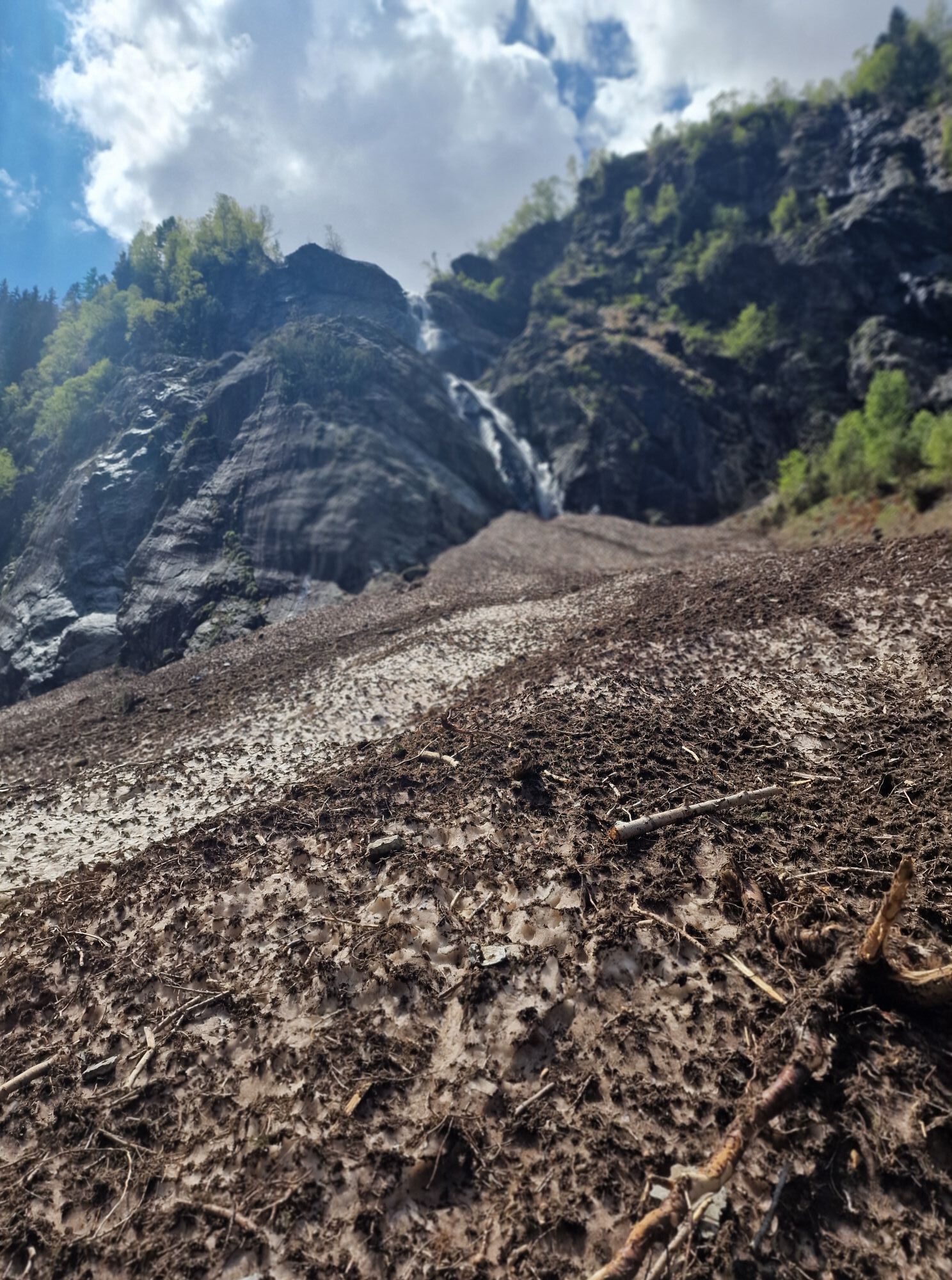
After passing the settlement of Agneda at about 1200 meters, you reach, at the bottom of the plateau, a rest area also used as a parking lot. You can continue further to Lake Scais but only with a permit...
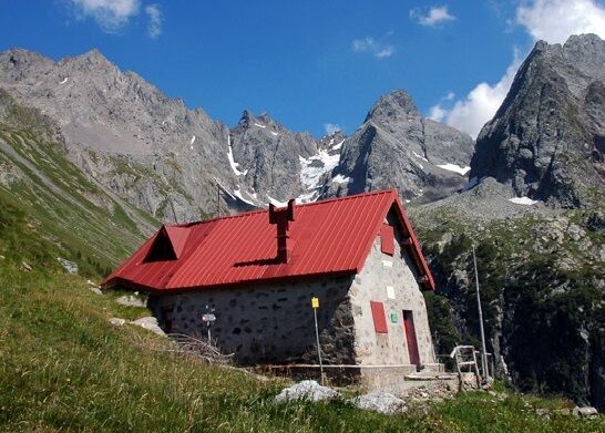
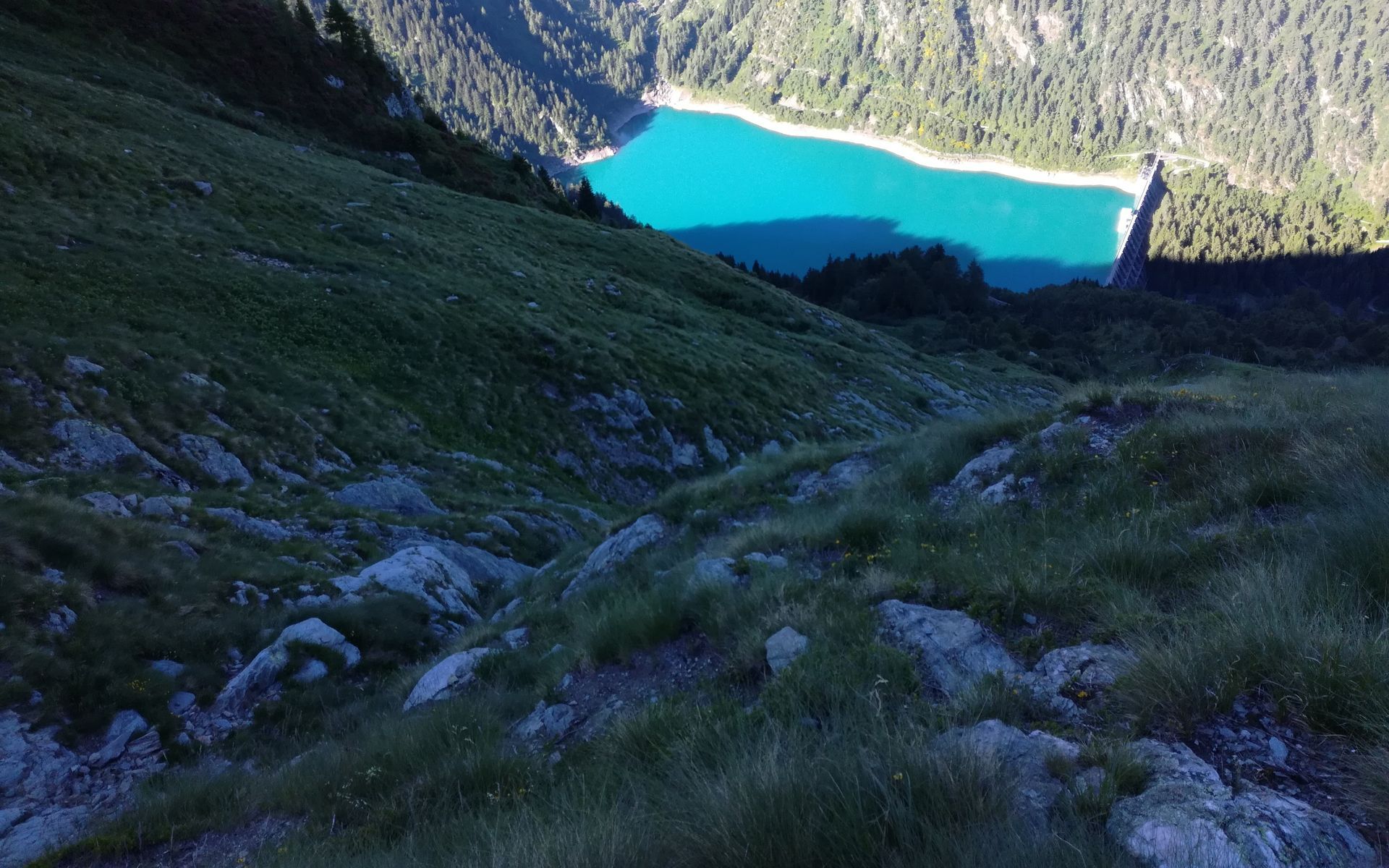
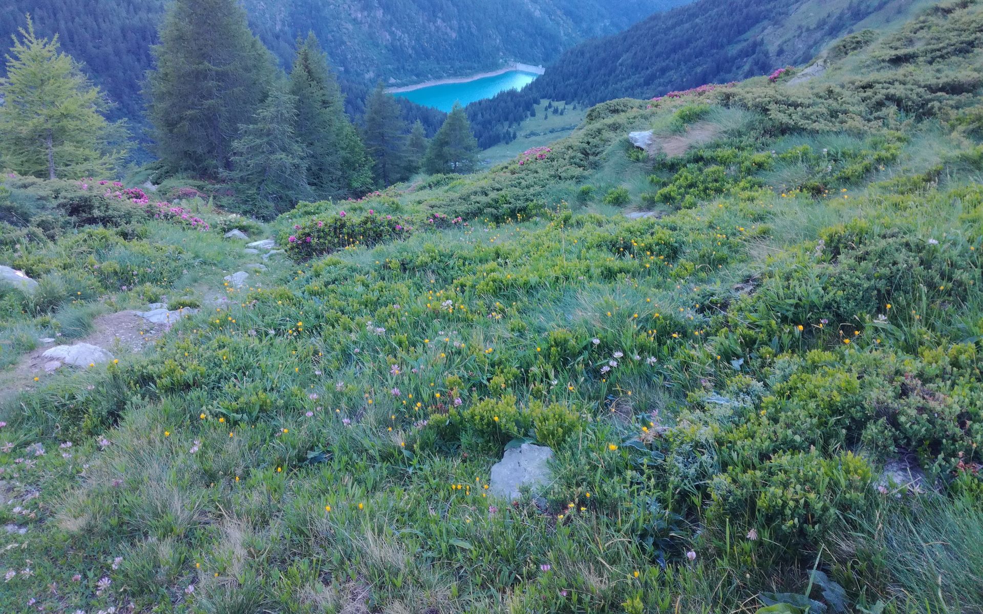
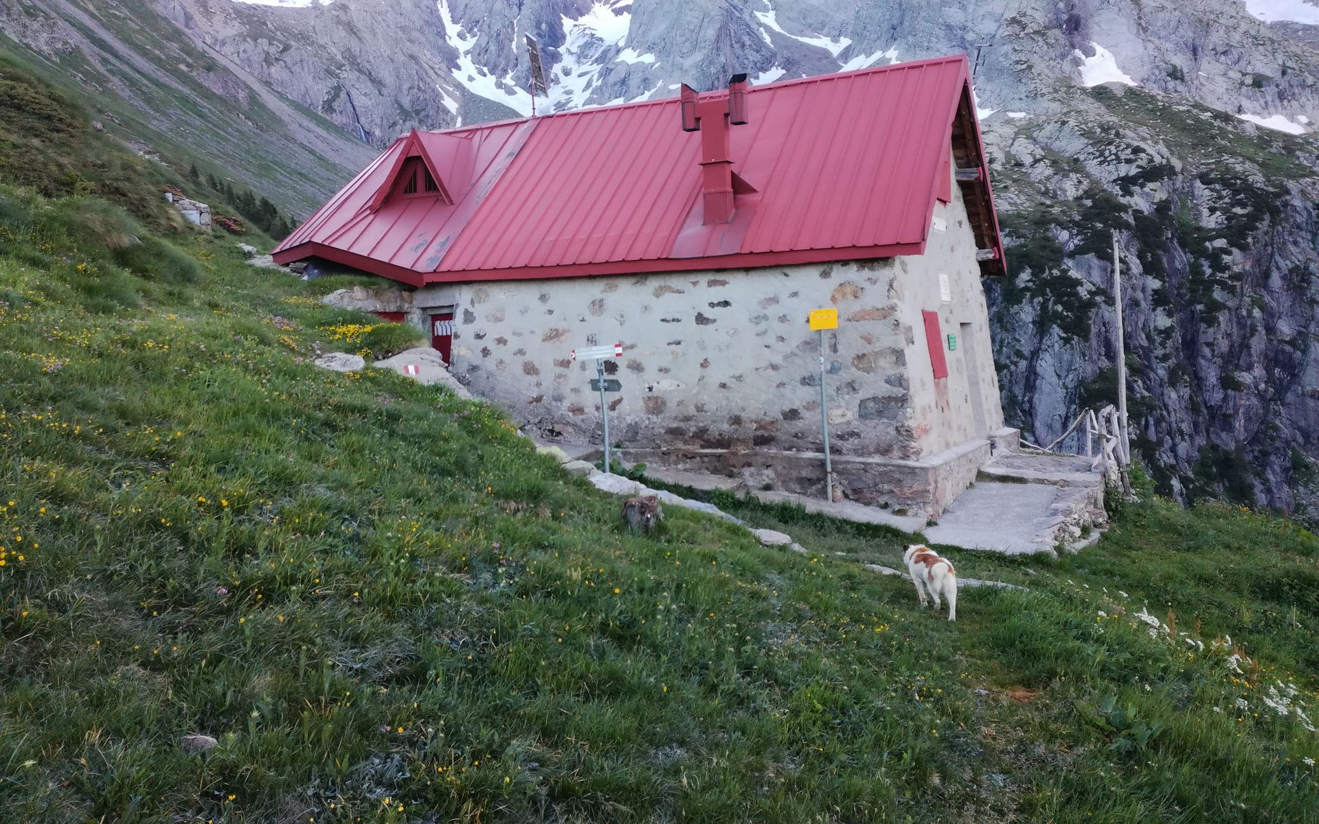
After passing the settlement of Agneda at about 1200 meters, you reach, at the bottom of the plateau, a rest area also used as a parking lot. You can continue further to Lake Scais but only with a permit and a four-wheel drive vehicle. The hike then begins on a comfortable carriage road that with a dense series of switchbacks takes us just below the wall of the Scais dam. From here, following the signs for trail no. 251, we cross the small bridge over the Caronno stream keeping to the left. Having reached the dam wall, you hike along its left side, first reaching the Scais Houses and, after a short elevation change through the woods, the Caronno Alp. Then you continue for the last stretch of the climb, the most tiring one, which takes us from 1600 meters to about 2000 meters at the Rifugio Mambretti. The path climbs through a beautiful larch forest. As you ascend, the tree vegetation gives way to the shrub vegetation typical of the high-mountain Orobie environment with junipers, rhododendrons, and blueberries. You then reach the refuge dedicated to Luigi Mambretti who passed away on Punta di Scais at only 27 years old in 1923.

VALBONA (355 m.) SERIO STREAM CHURCH OF S. VITTORE (550 m.) BETTOLI (704 m.) VALBONA (355 m.)
Beyond the Agneda Plain
The Orobie headwater of Val Caronno that frames the Rifugio Mambretti, from here you can reach the 3000-meter peaks of the Orobie Alps.
Popularne wycieczki w okolicy
-
4,5
Rifugio Curo’ e lago del Barbellino - lago naturale del Barbellino - lago Gelt
ciężkiWędrówka 26,4 km -
4,0
Valbondione-Curò
średniWędrówka 7,02 km -
4,4
Ristoro cinque laghi - Monte Cabianca - Monte Val Rossa - Monte dei Frati
ciężkiWędrówka 20,4 km -
4,4
Carona - Rifugio Laghi Gemelli - Laghi Gemelli - Tabià
ciężkiWędrówka 12,0 km -
5,0
Brunone
średniWycieczki górskie 15,0 km -
Szlak Valtellina
średniJazda na rowerze 113,2 km -
5,0
Fusine-Dordona Pass (MTB-EMTB)
światłoMountainbike 20,4 km -
5,0
Carona - Rifugio Fratelli Calvi - Portulino - Monte Madonnino
ciężkiWędrówka 25,6 km -
4,2
Il Bivacco - Bivacco Pedrinelli - Passo di Publino - Pizzo Zerna
ciężkiWędrówka 15,9 km -
5,0
Roncobello - Monte delle Galline - Cima di Mezzeno Orientale - Branzi
ciężkiWędrówka 10,6 km
Wędrówki i tropienie


Nie przegap ofert i inspiracji na następne wakacje
Twój adres e-mail została dodana do listy mailingowej.





