


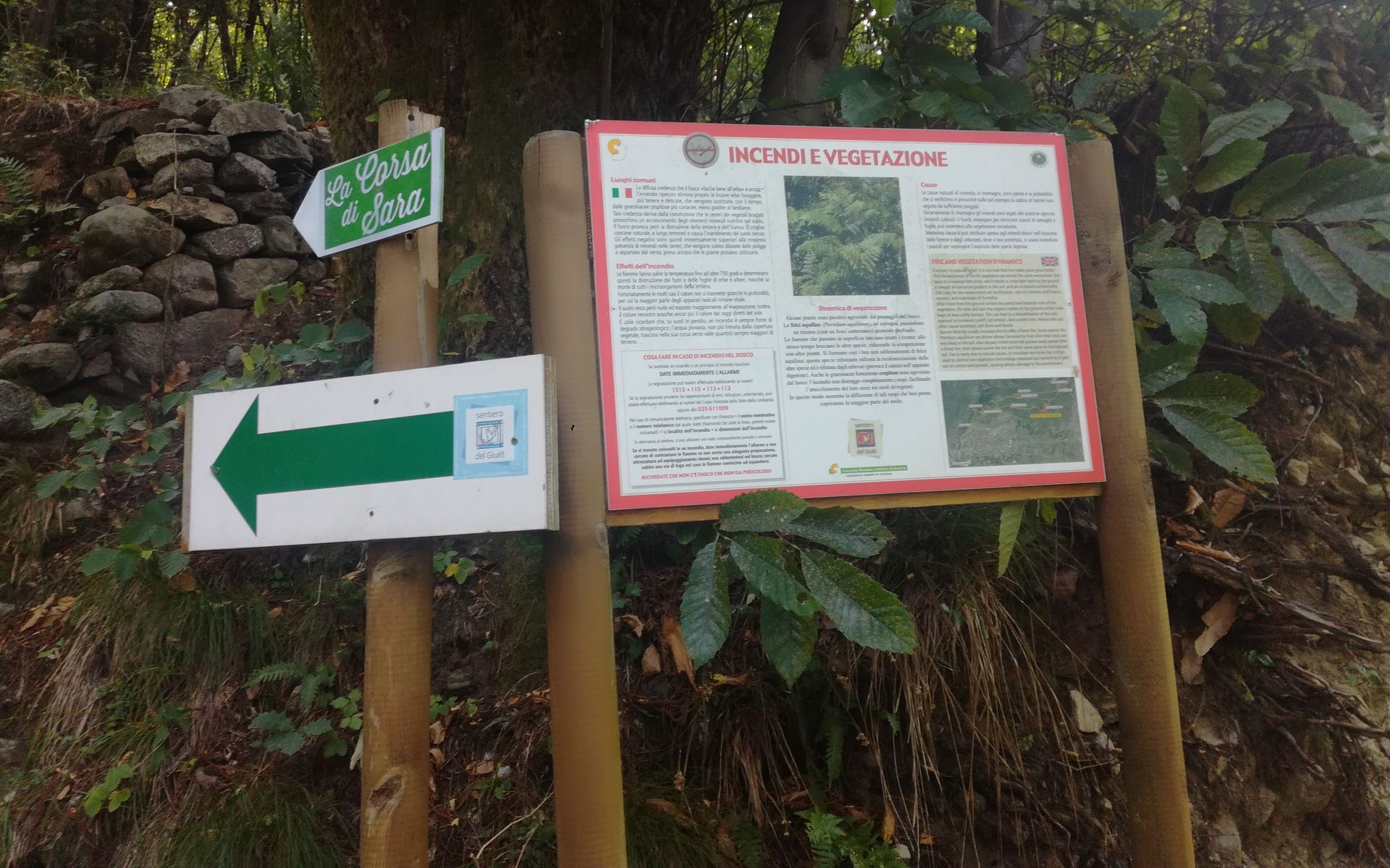
The Giuet Trail
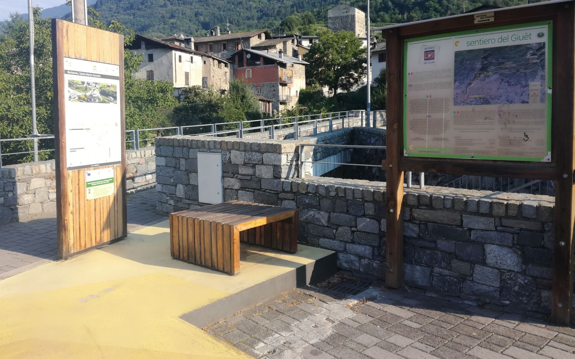
The start of the trail is in the small square below the Municipality where it is possible to leave the car. From here, cross the village heading towards Dusone. At the first intersection at the CAI signpost,...
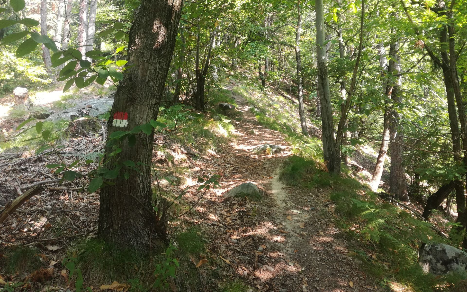
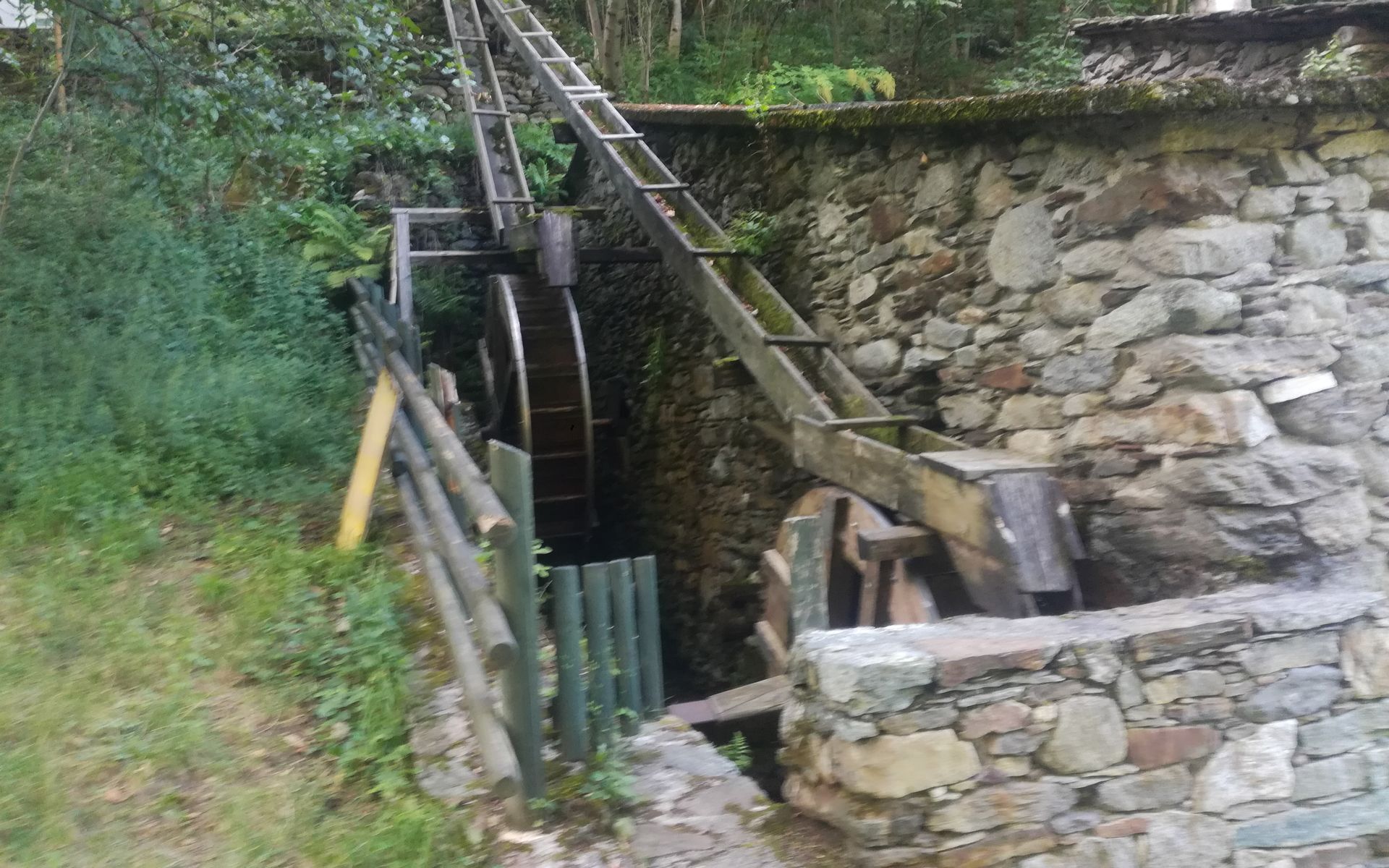
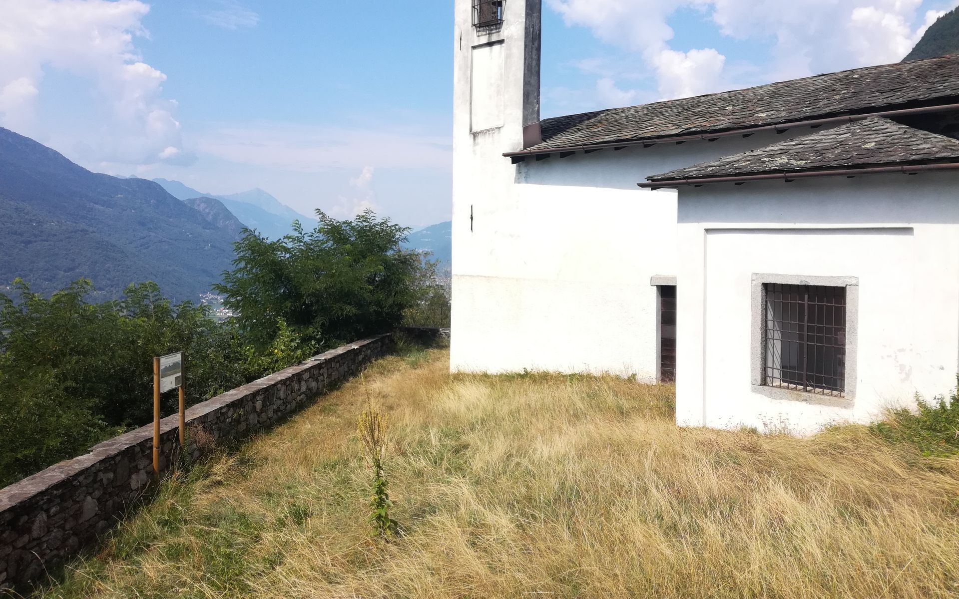
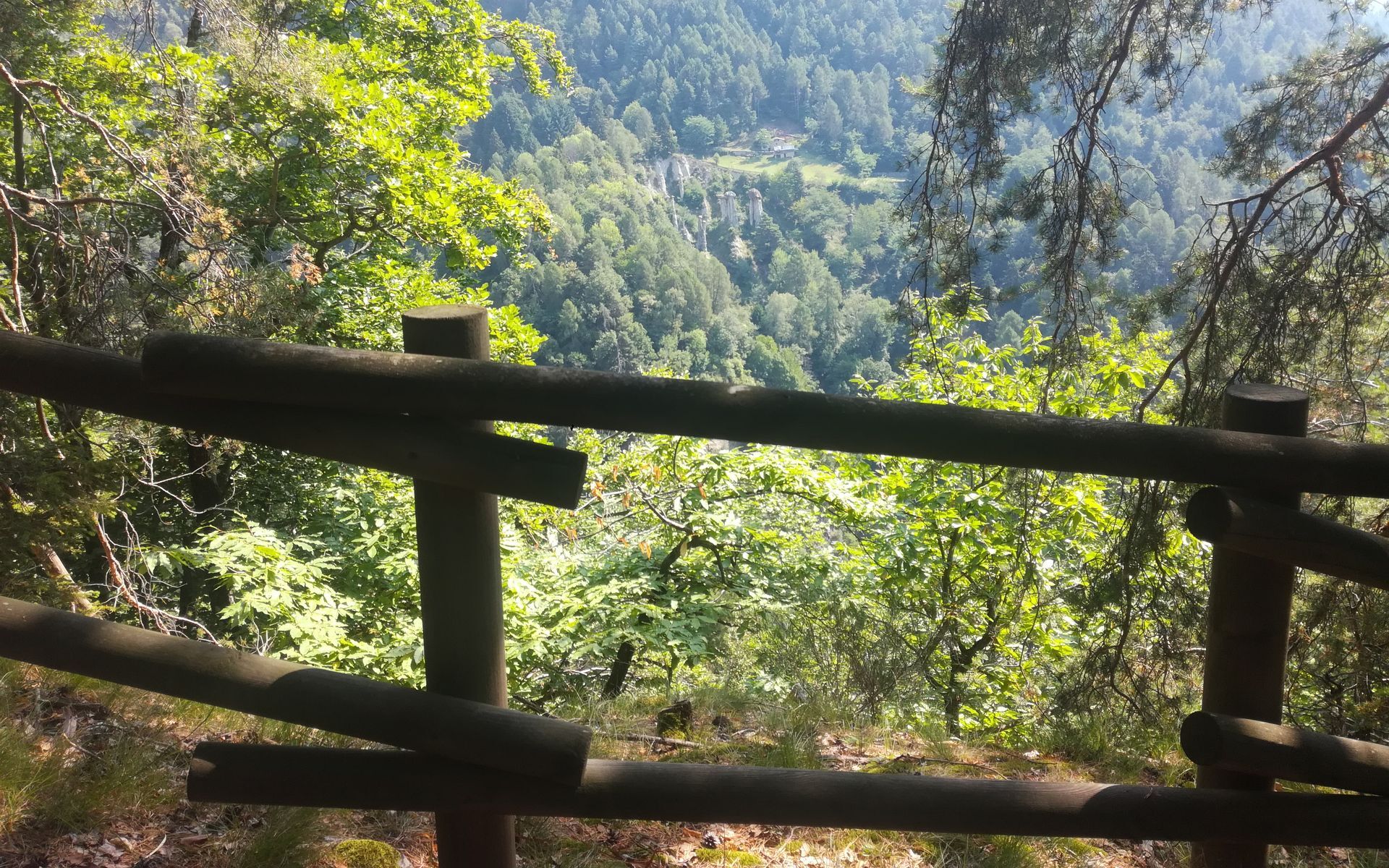
The start of the trail is in the small square below the Municipality where it is possible to leave the car. From here, cross the village heading towards Dusone. At the first intersection at the CAI signpost, follow signs for Madonnina-Mulini; at the next intersection, keep right continuing on the paved road towards Dusone and then to the Mulino della Ghelfa. At this point, the route follows exclusively mule tracks and forest trails. From here, it runs along the bank of the Finale Stream and reaches the locality Mulini where there is still a fully functioning mill. At this point, after a short climb, you reach the church of St. Gregory from where you enjoy a wide view of the nearby Orobie Alps. Along the route, you can clearly see the signs of man who, since ancient times, has modified the natural environment. Following the trail, you find the ancient crafts, traditional products, tools of the past up to the natural features of the woods and rocks. After passing the church of St. Gregory, ascend to the municipal road to Prato Isio, descend for a few dozen meters, then take a steep path to the left that enters the woods. From here continue in the woods until reaching, at the end of the path, a junction that through a well-marked mule track leads us to the highest and most panoramic point of the route from where the Postalesio Pyramids are visible. At this point, going back about 50 meters in elevation from the highest point, at a plateau, turn right along a path that then leads to a forest trail. From here descend on the paved road of Prato Isio and reach the locality Stalli where the hydroelectric plant of the Municipality of Berbenno di Valtellina is located. The return to Berbenno is planned along a long stretch of municipal road or along the ascent route.

LE PIANE-ARMISOLA-PIATEDE DI SOTTO-PIATEDE DI SOPRA-GINO AND MASSIMO SHELTER AT GRIONI-ARMISOLA-LE PIANE
yes, free parking at the municipality
In the popular tradition of the Polaggia area and up to the valley of the Caldenno Stream, grandmothers told their grandchildren about a strange character who inhabited the woods of the area, the size of a cat, with the rear part of the body bandaged and with a muzzle that was sometimes that of a child, but often that of a dragon... the Giue't
Popularne wycieczki w okolicy
- 4,5
Porro and Ventina Shelters
światłoWędrówka 3,12 km - 5,0
Sentiero Roma in Val Masino
ciężkiWędrówka 33,8 km Alta Via della Valmalenco
ciężkidługodystansowy szlak pieszy 102,5 kmRifugio Bosio-Galli (from Primolo)
średniWędrówka 8,35 km- 5,0
Fusine-Dordona Pass (MTB-EMTB)
światłoMountainbike 20,4 km Via Ferrata at Torrione Porro
średniVia ferrata 2,31 km- 5,0
Bosio-Galli Refuge (from Piasci)
światłoWędrówka 4,58 km - 3,0
Cima Meriggio
światłoWędrówka 11,6 km Sentiero Roma Integrale in Valtellina
ciężkidługodystansowy szlak pieszy 58,1 km- 5,0
Costiera dei Cech among forests, vineyards and villages
średniWędrówka 5,43 km
Wędrówki i tropienie


Nie przegap ofert i inspiracji na następne wakacje
Twój adres e-mail została dodana do listy mailingowej.