


Stelvio Historical Trek: Loop - Lower Rese - Filon dei Mot - Scorluzzo
Poziom trudności: T3
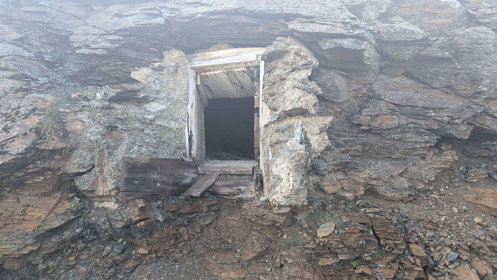
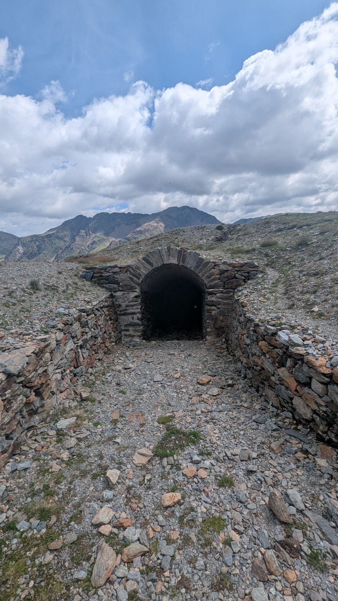
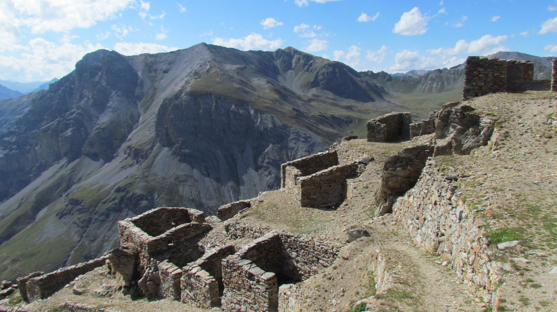
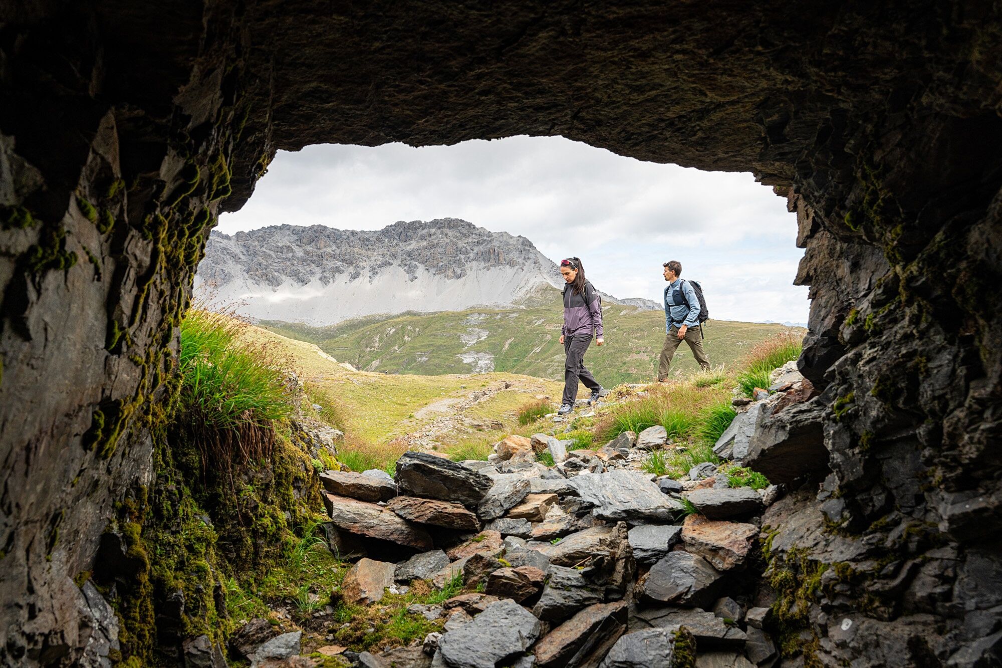
The First World War left many traces in the Lombardy mountain areas: also here, in the Stelvio National Park, where fighting took place at very high altitudes and in extreme environmental conditions.
Fascinating...
The First World War left many traces in the Lombardy mountain areas: also here, in the Stelvio National Park, where fighting took place at very high altitudes and in extreme environmental conditions.
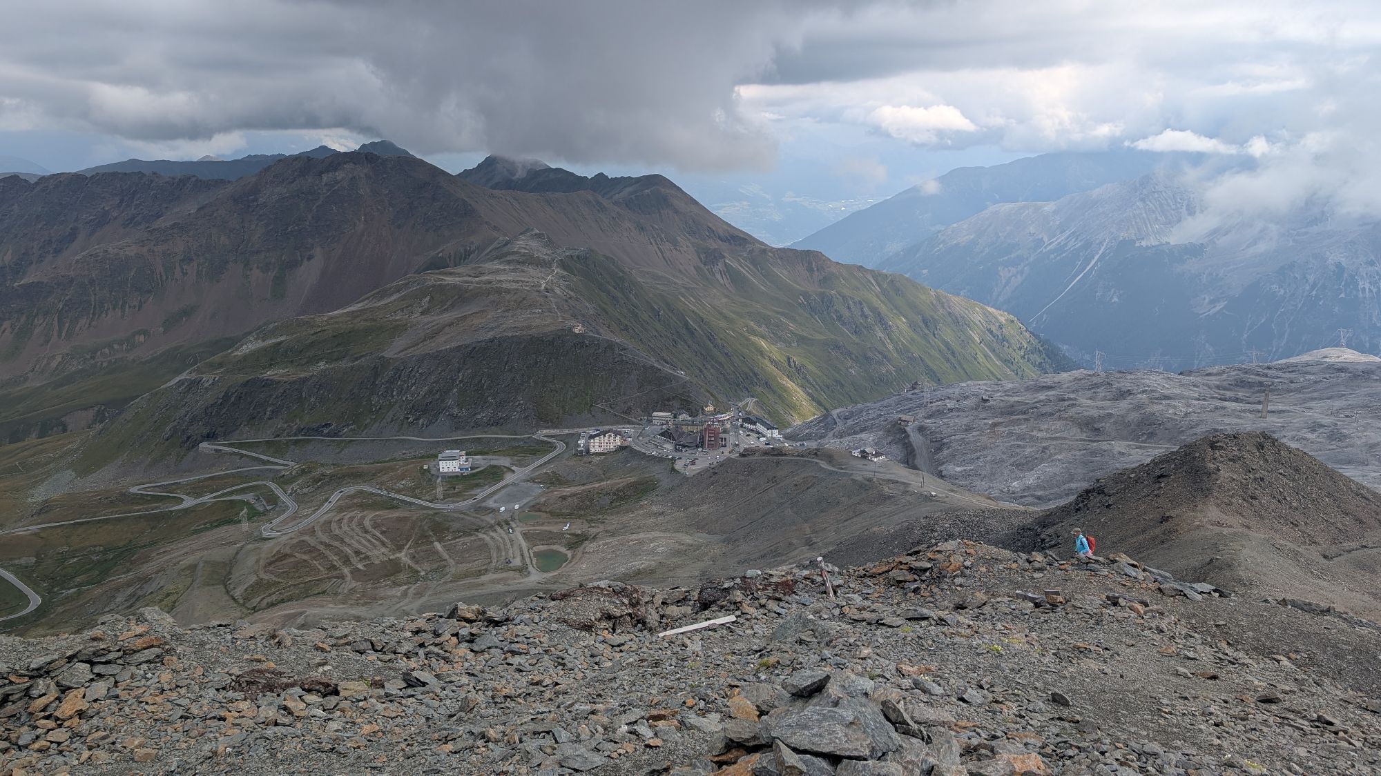
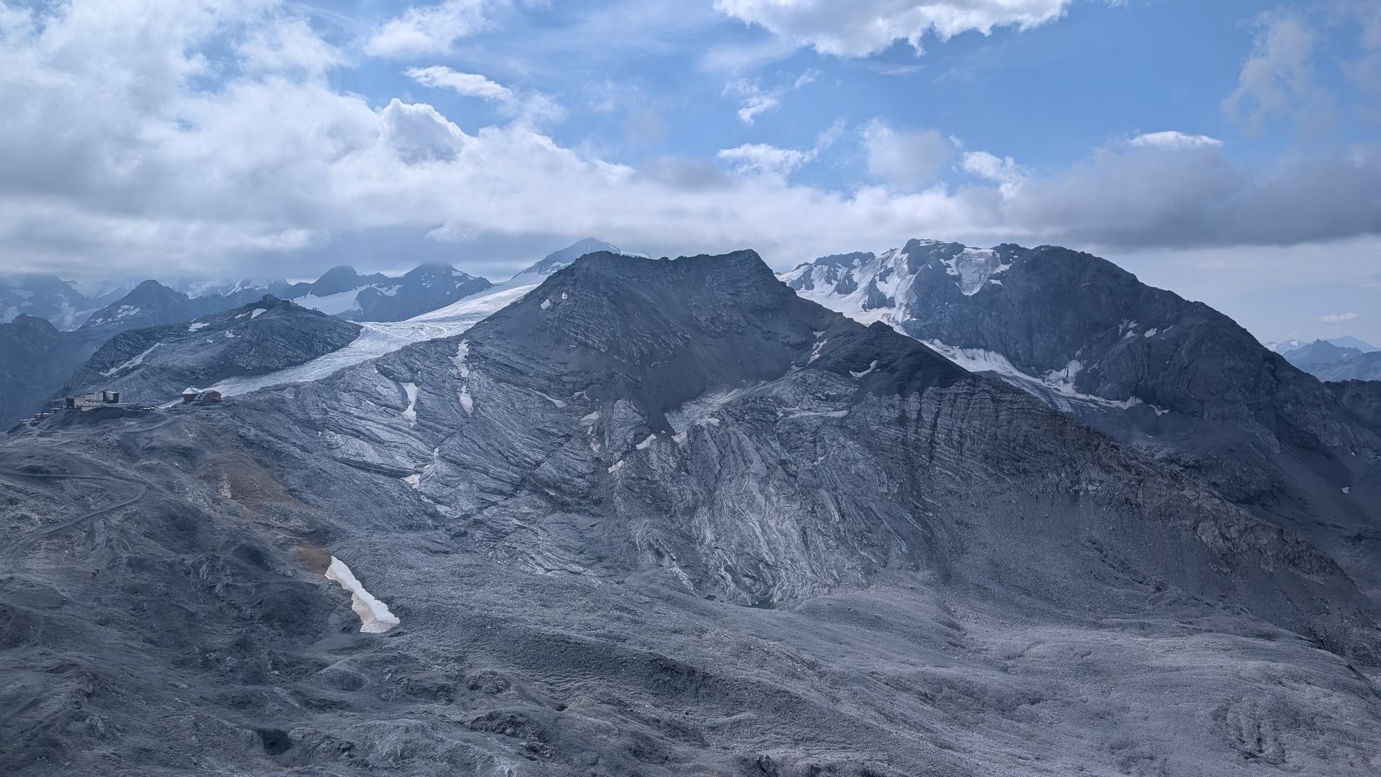
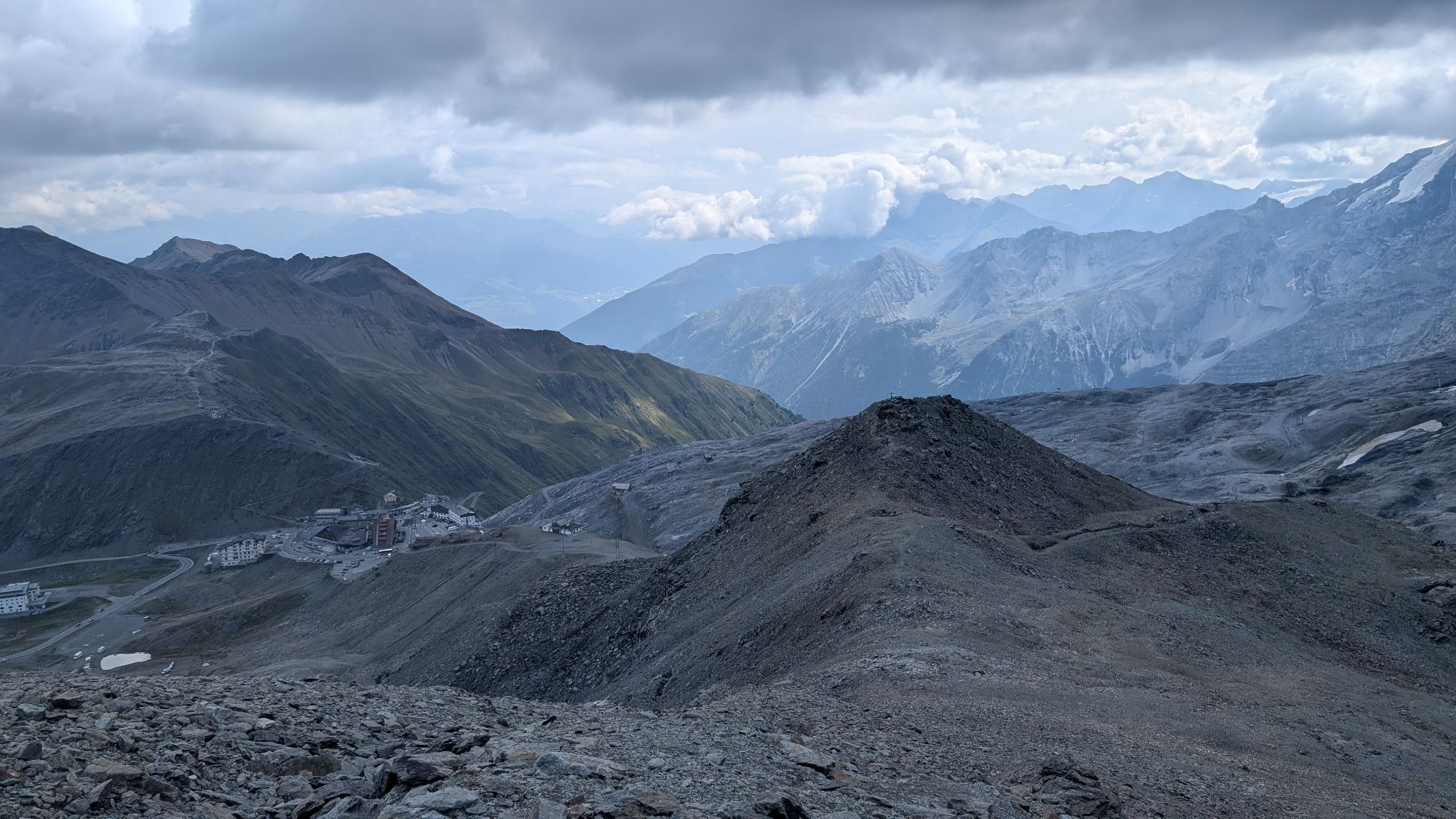
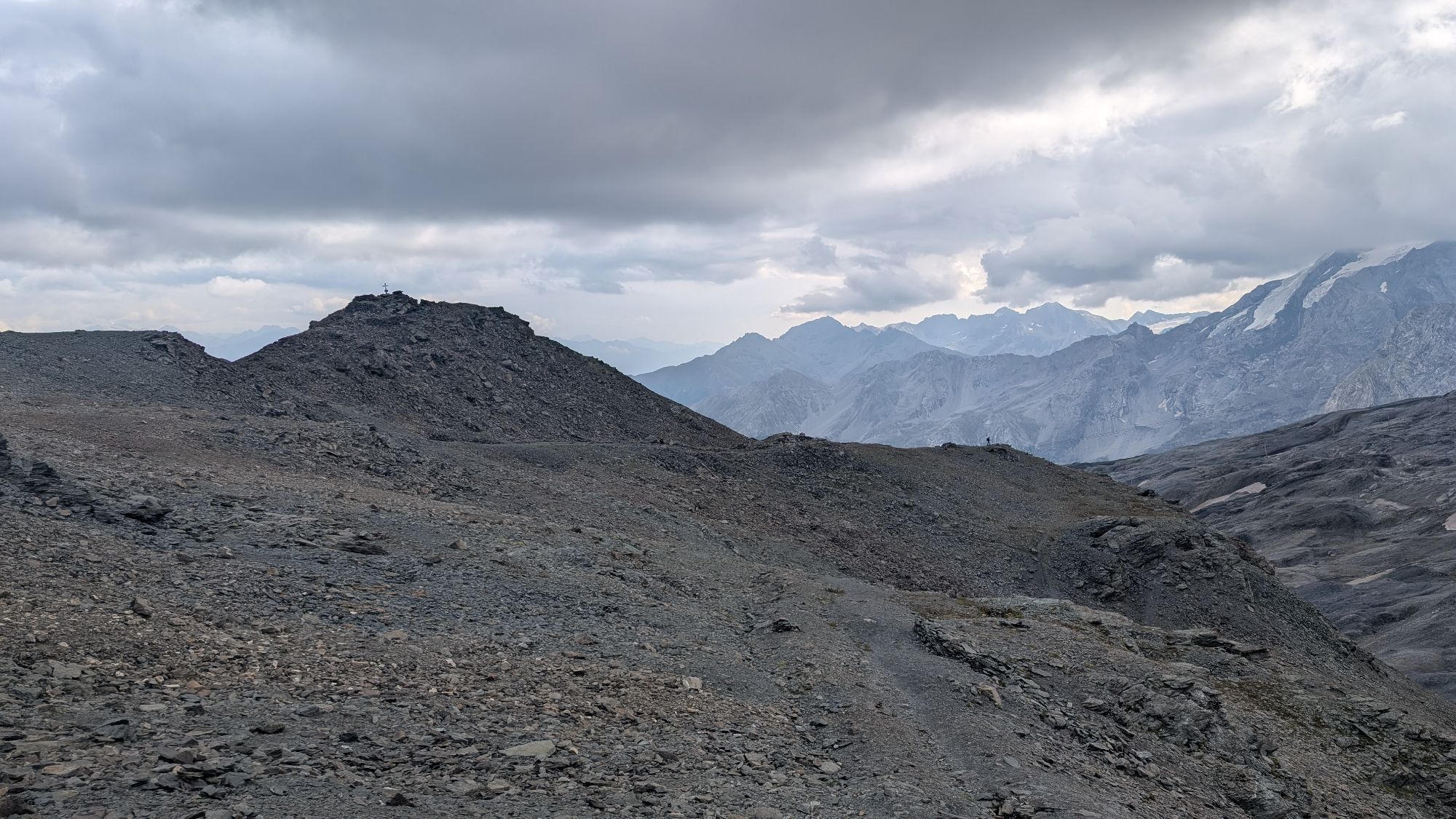
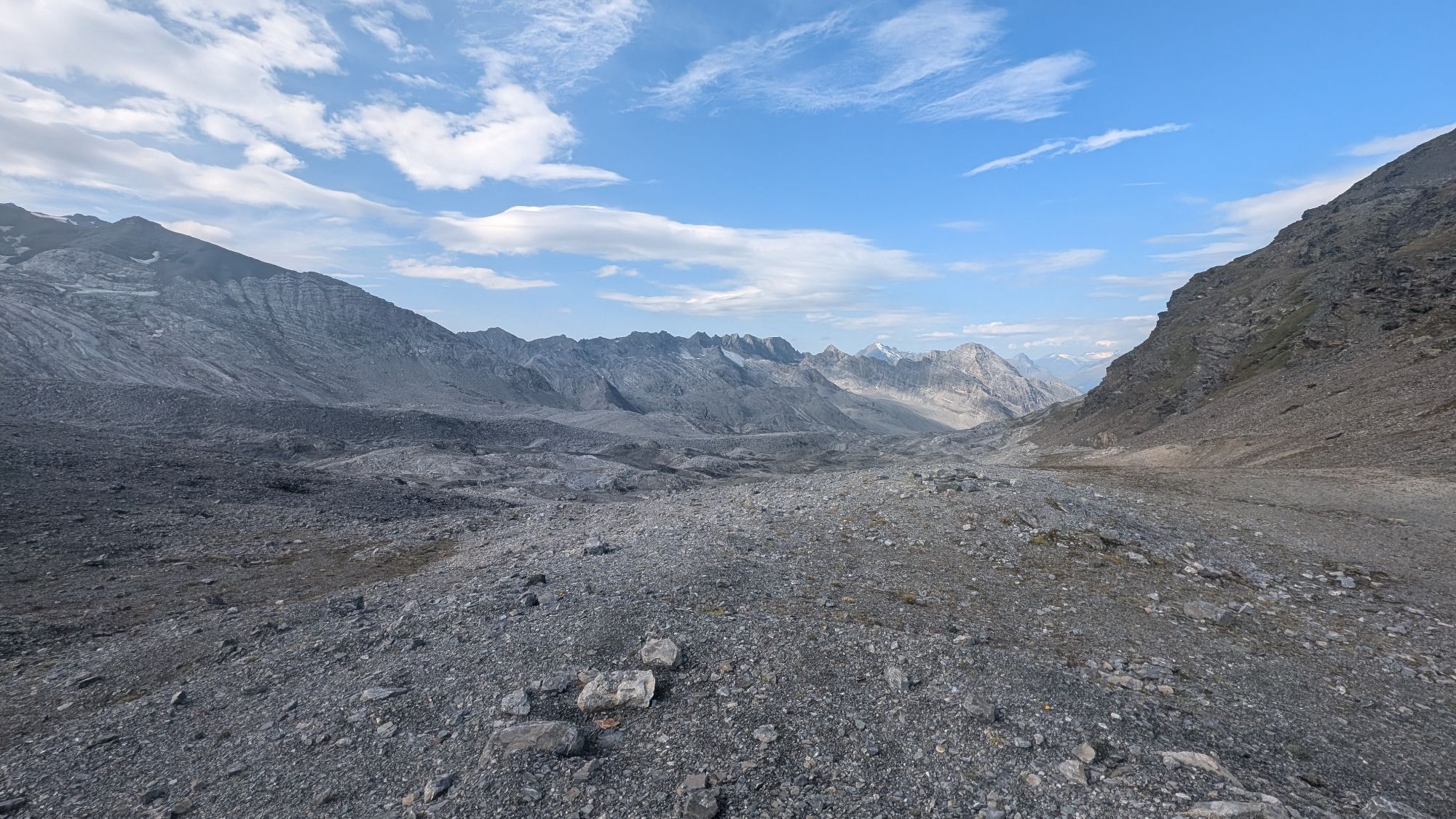
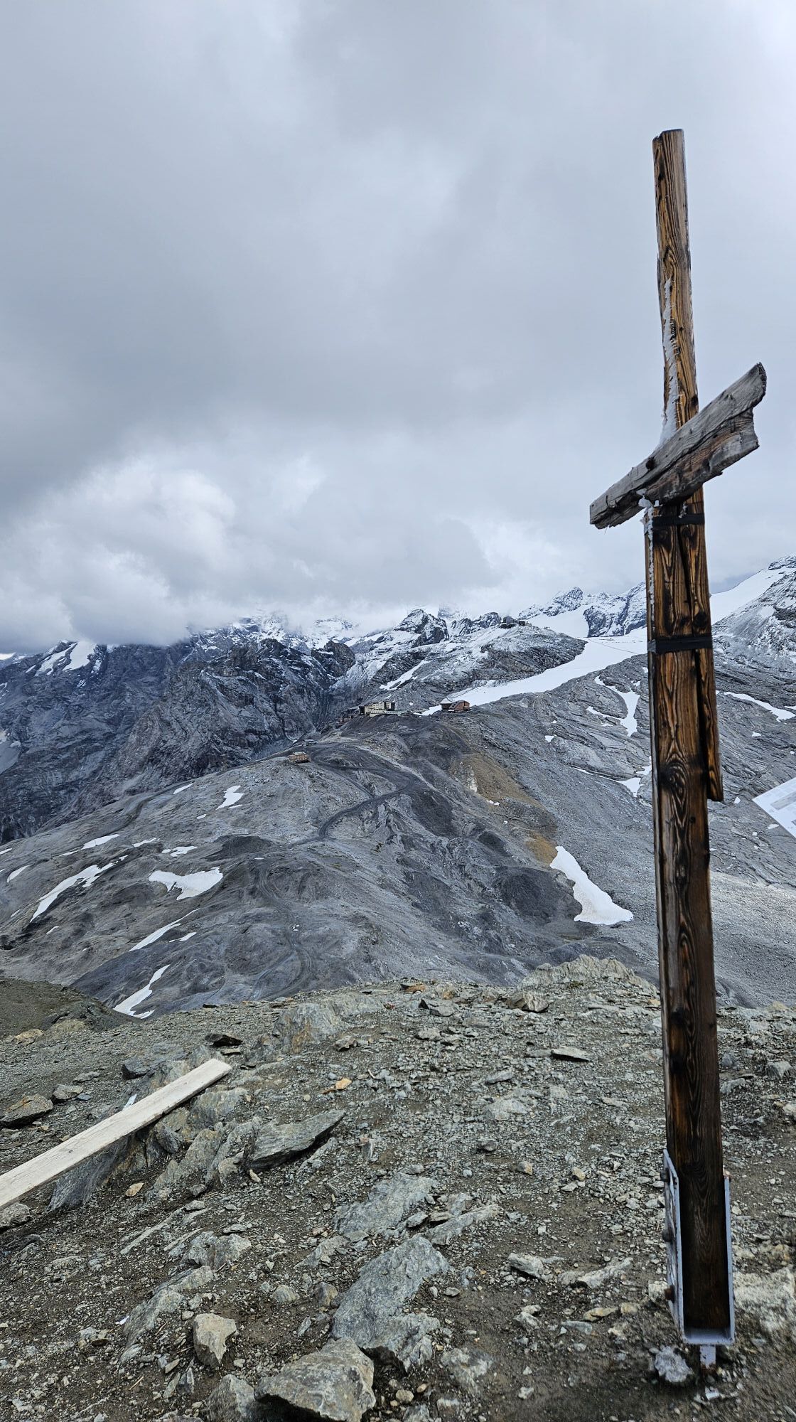
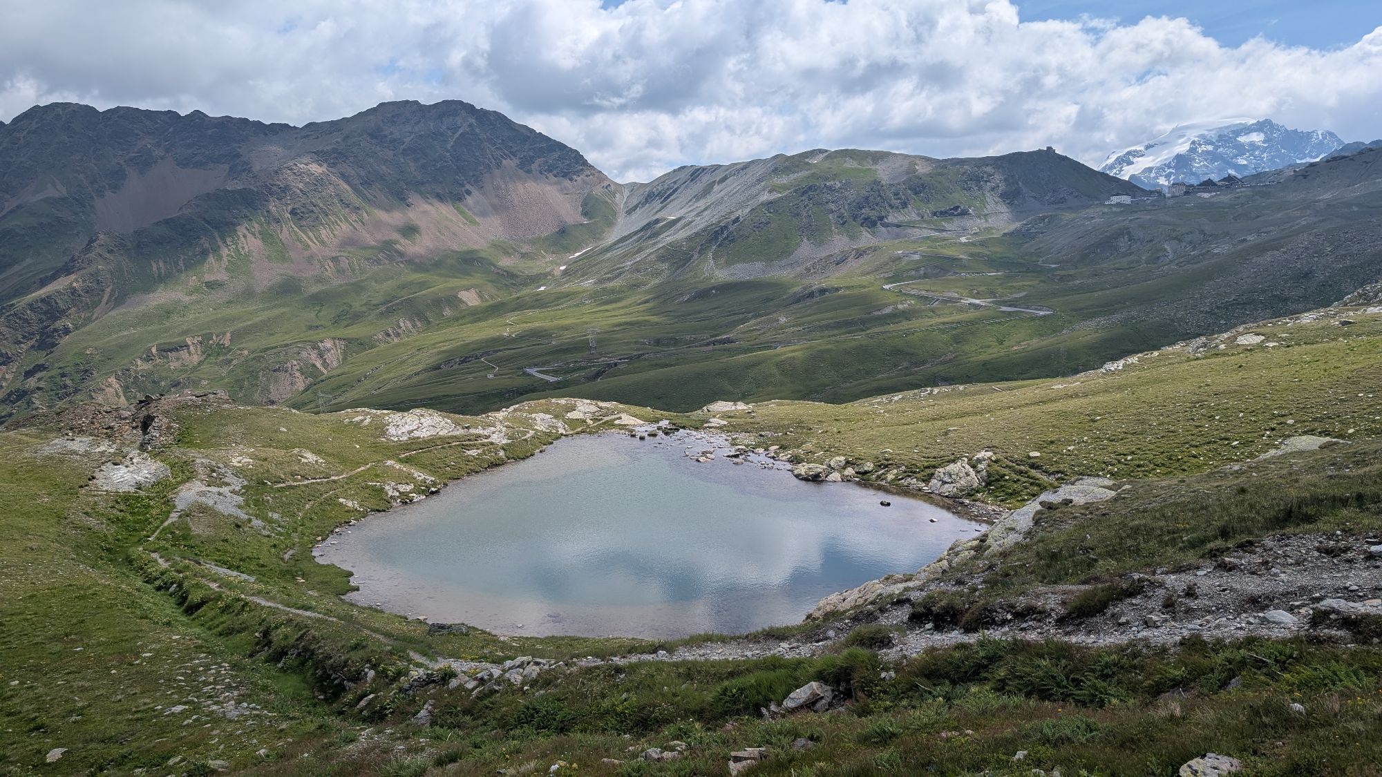
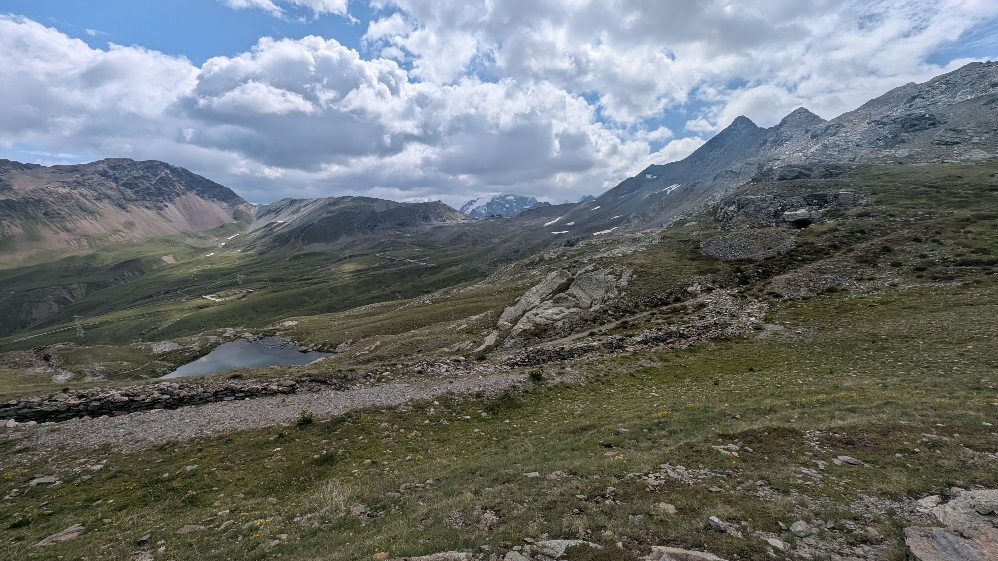
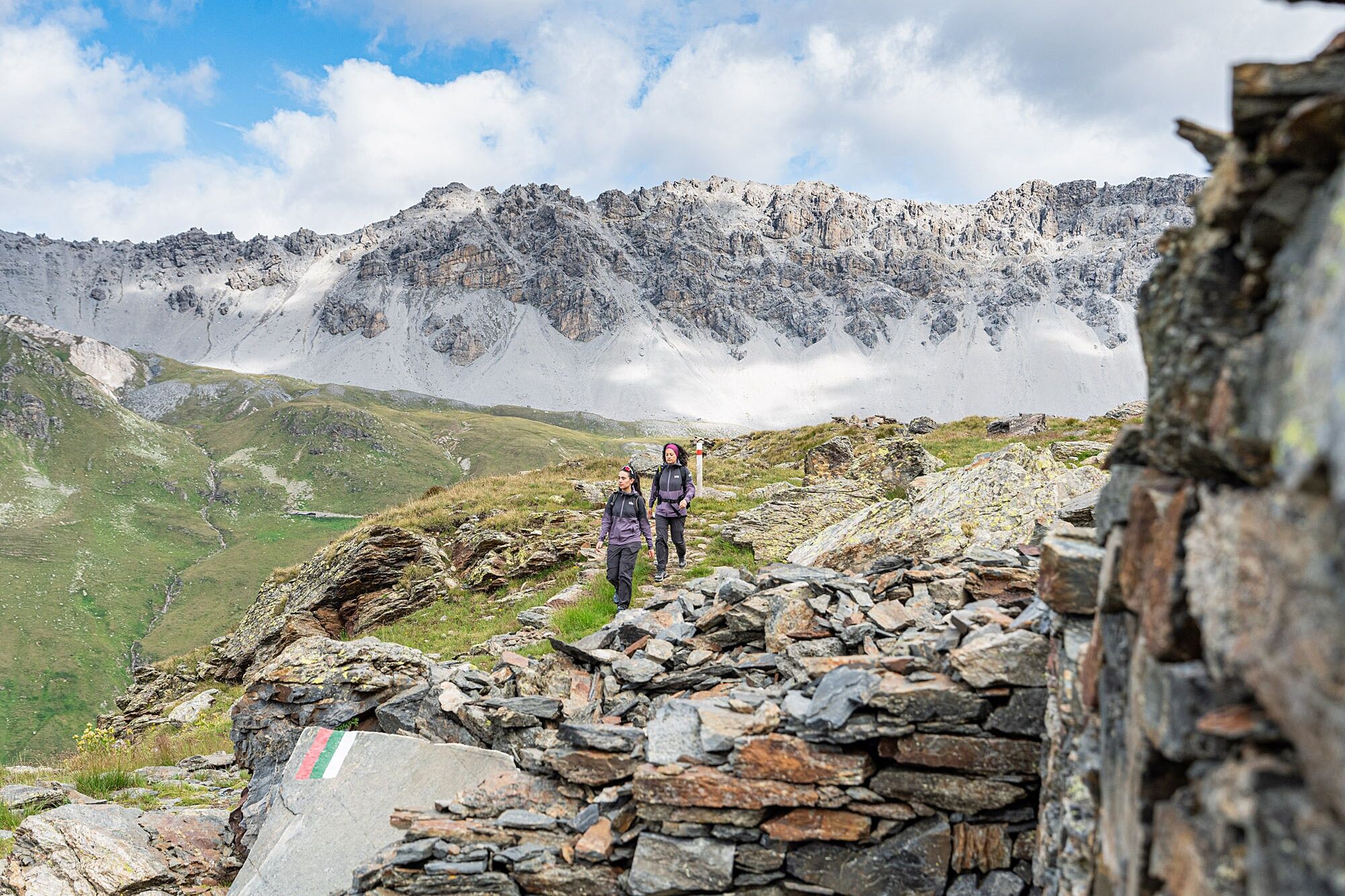
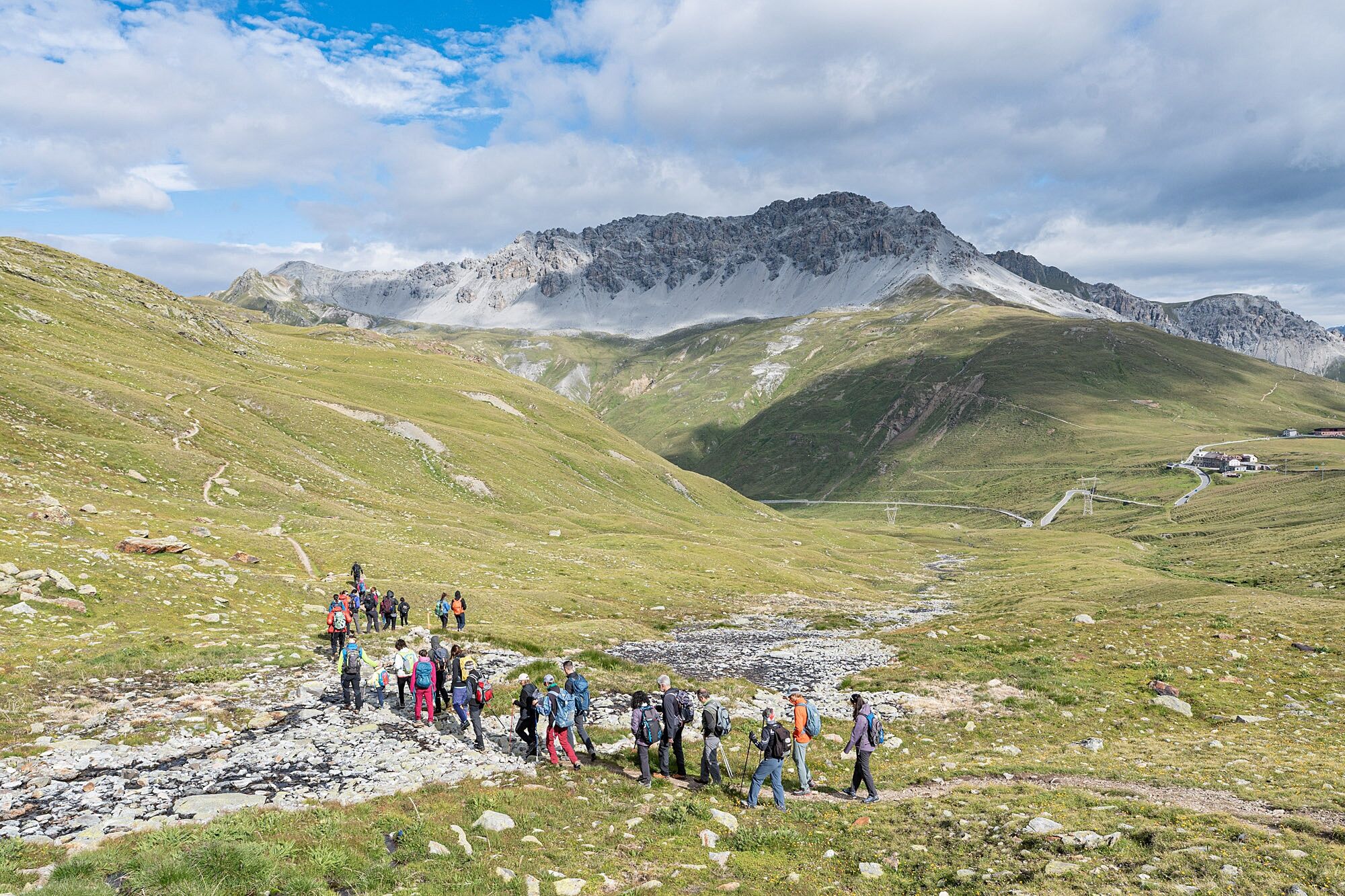
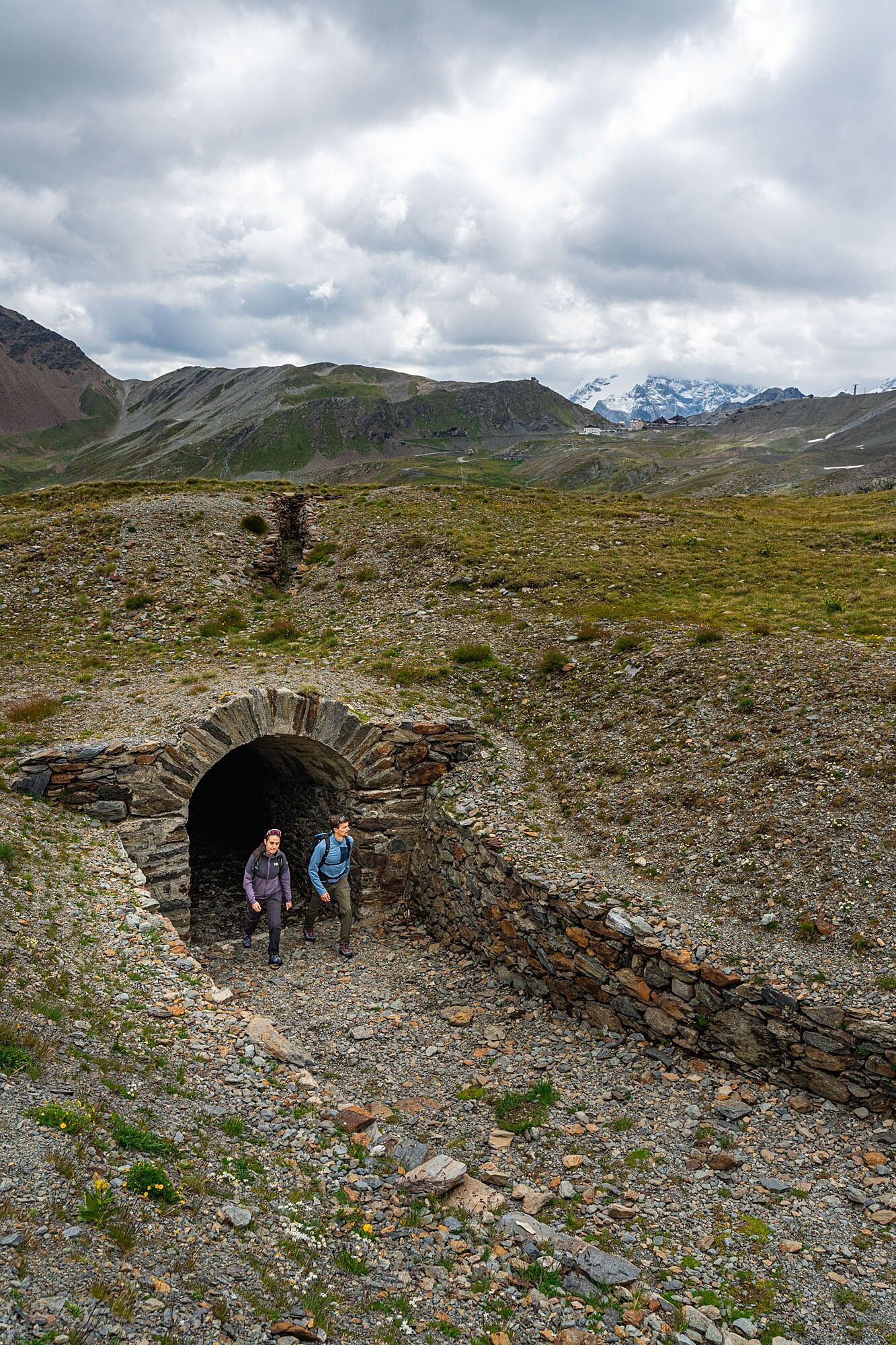
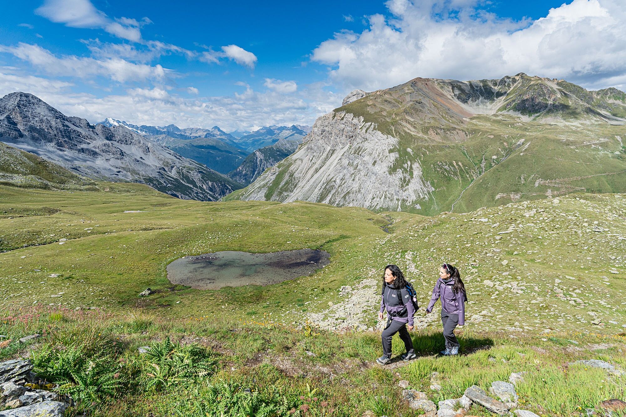
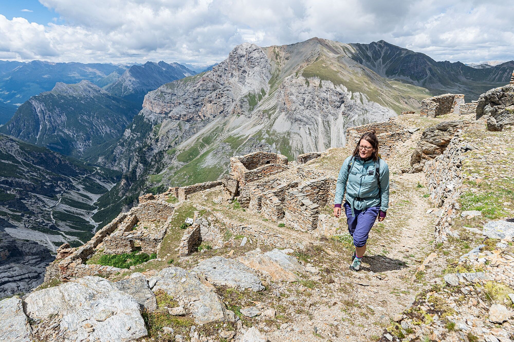
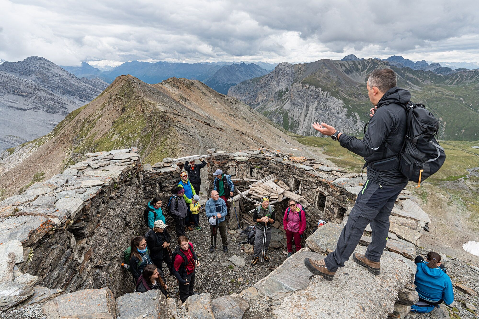
Fascinating places where the beauty of natural scenery contrasts with the tragedy of the events. The route starts from the third hairpin (m 2588) above the Fourth Cantoniera of the SS 38 of the Stelvio (m 2488) and reaches Filon dei Mot, following the left orographic side of the Braulio Valley.
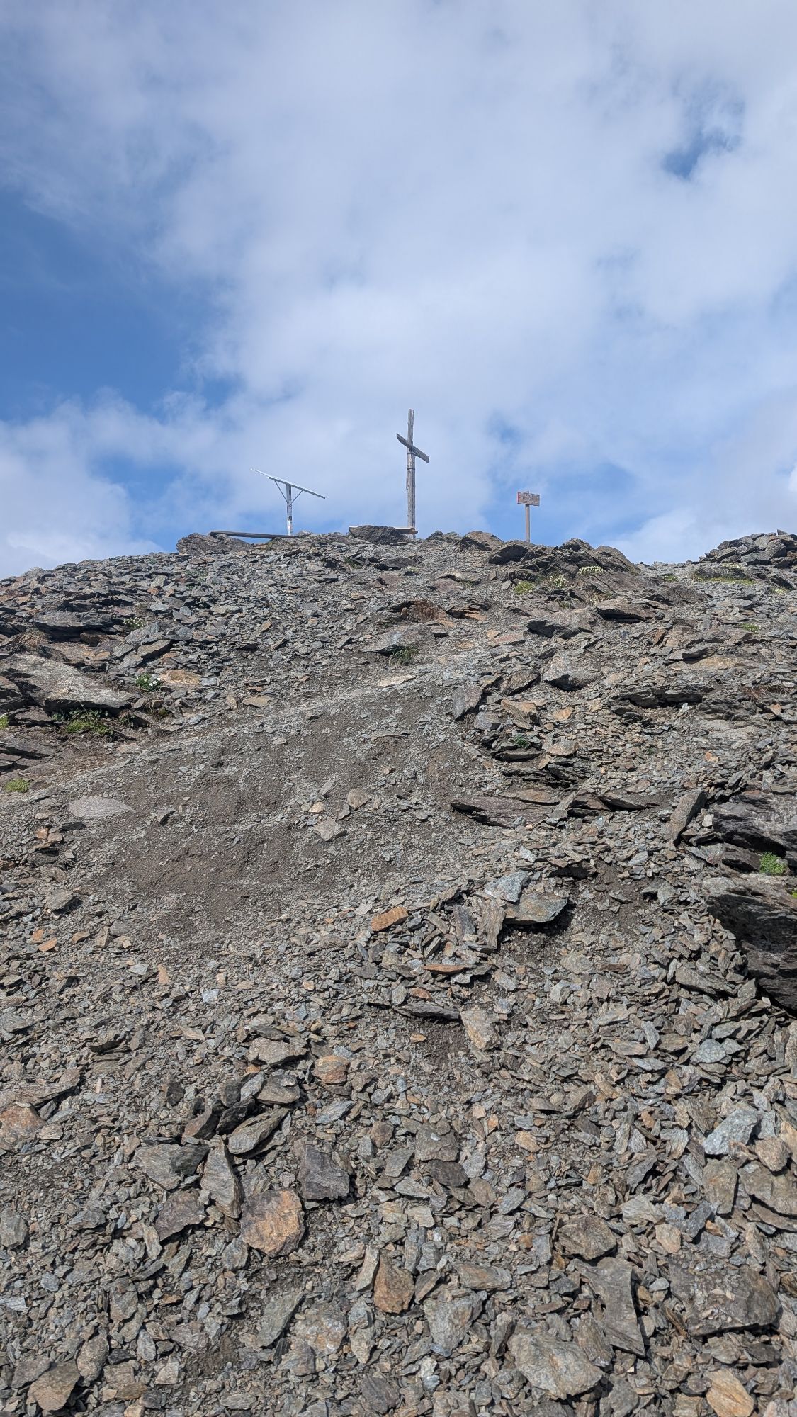
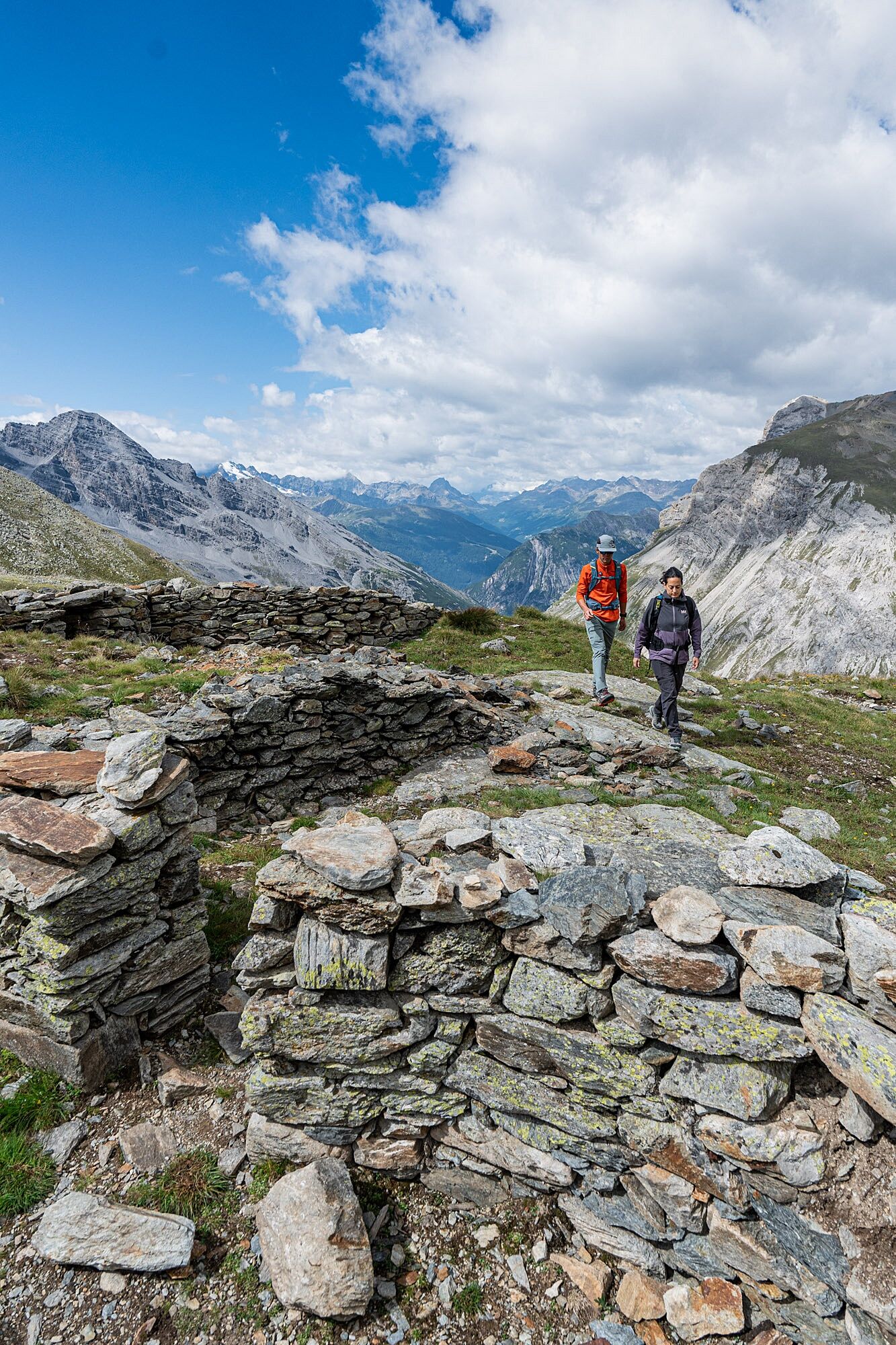
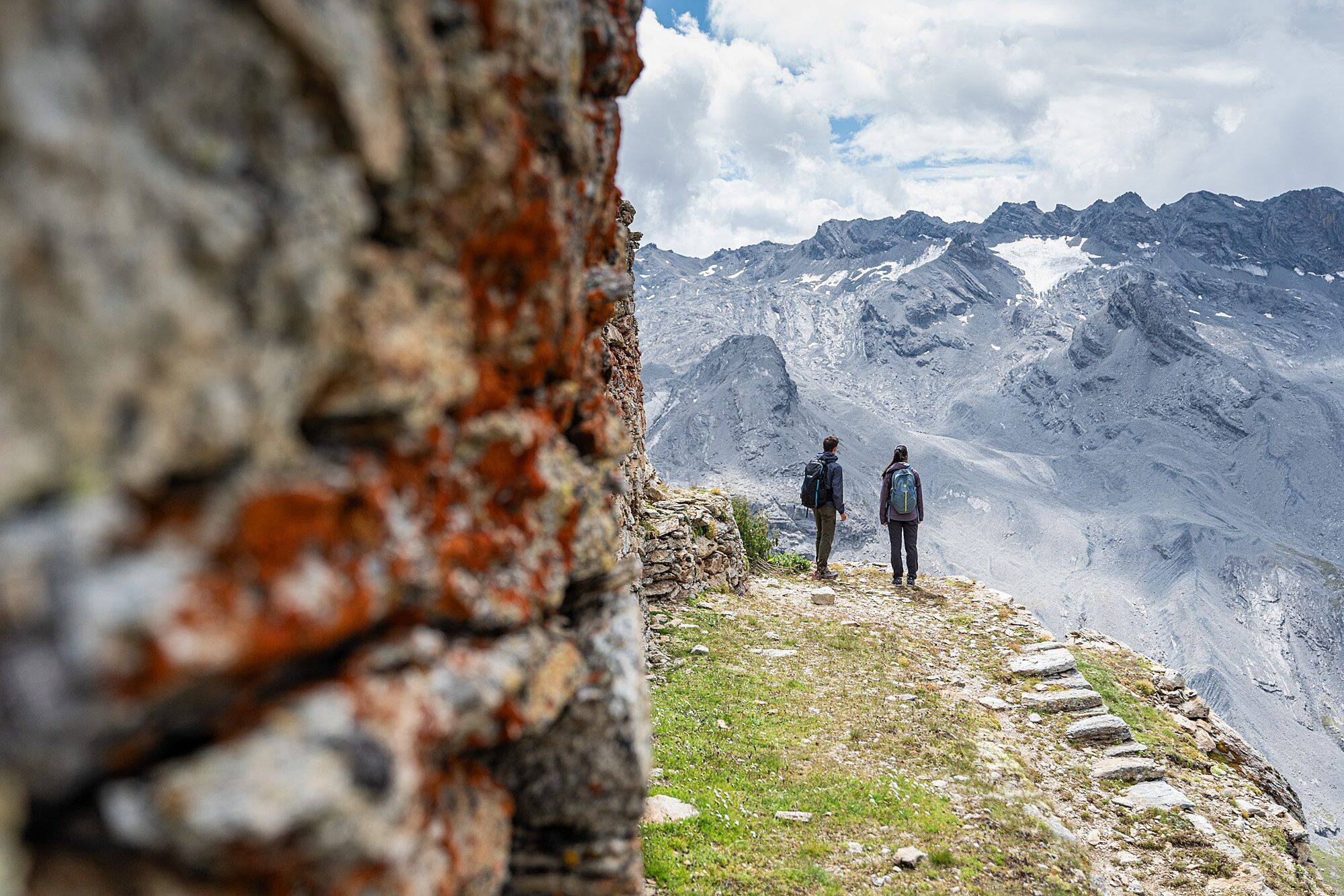
Passing by Laghetto Alto and then by the Lower Rese of Scorluzzo, the Piano di Scorluzzo and the Malga Scorluzzo are reached, then climbing up to the military settlement of Filon dei Mot (m 2768); from here, continue along the easy and scenic ridge, overlooking the south direction on the Valle dei Vitelli, up to the last defensive military position (m 2926).
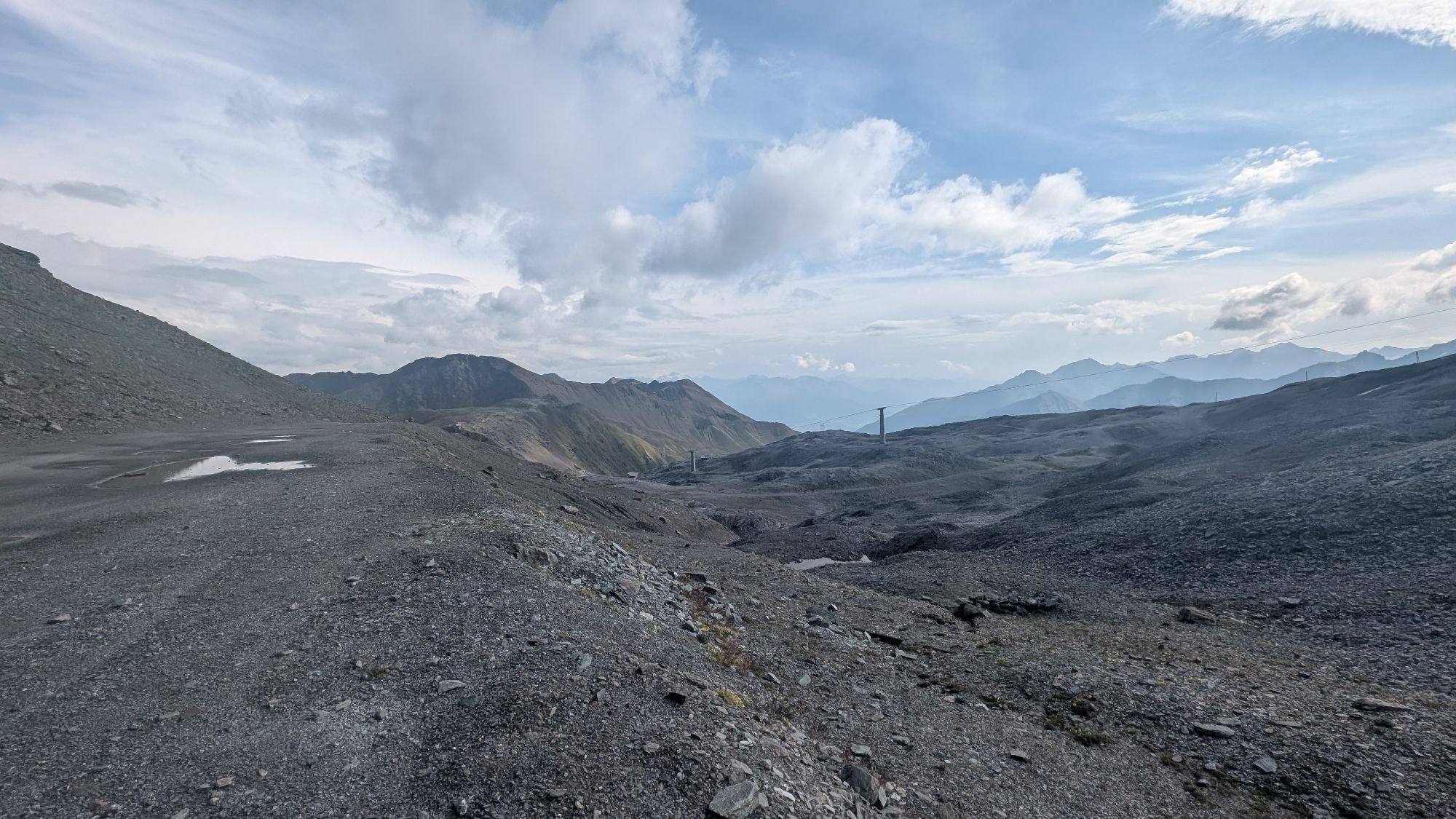
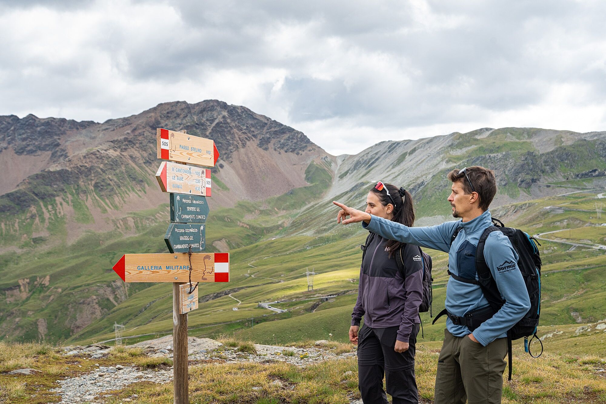
It is possible to return by the same route used for the ascent, once the military village is reached, or continue along path S506 to the Stelvio Pass and close the loop by returning to the starting point.

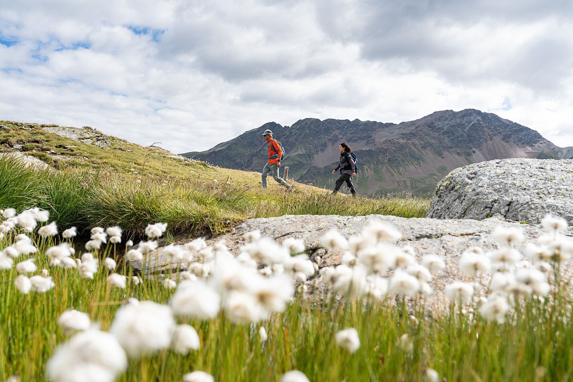
Hiking equipment for medium-high altitude.
T3
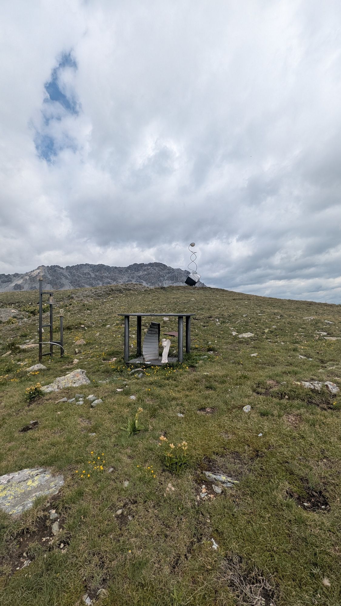
The Valtellina Outdoor app provides cultural content without having to install and manage signs and without stopping to read them.
By activating the "Audioguide" option before starting along the route, proceeding along the itineraries, at points of interest, the audio description will automatically activate with the possibility of seeing a series of historical and environmental images.
Synchronization takes a few minutes. You will be able to enjoy the content once you have started the route.
Popularne wycieczki w okolicy
- 3,7
Payerhütte 3020m
Wędrówka 6,98 km - 3,7
Düsseldorfer Hütte 2721m
średniWędrówka 4,14 km - 3,7
Von Sulden zur Hinteren Schöntaufspitze
średniWędrówka 12,7 km - 5,0
Wanderung/Aufstieg zur Payerhütte
światłoWędrówka 15,9 km - 4,3
Sonnenaufgang auf der Rötelspitze im Nationalpark Stilfserjoch
Wędrówka 2,02 km - 3,4
Sta.Maria, Prà da Vau - Lai da Rims - Alp Sot - Prà da Vau
ciężkiWędrówka 14,7 km - 4,0
Tschengelser Hochwand Stelvio, Trentino-Alto Adige
średniVia ferrata 14,3 km - 4,3
Ortler – Normalweg
ciężkiWycieczka wysokogórska 7,30 km - 5,0
Pistenskitour zum Madritschjoch (3.123m)
światłoWycieczka narciarska 16,6 km - 3,0
Wanderung zum Hinteren Schöneck
światłoWędrówka 13,2 km
Wędrówki i tropienie


Nie przegap ofert i inspiracji na następne wakacje
Twój adres e-mail została dodana do listy mailingowej.