



Al Filon

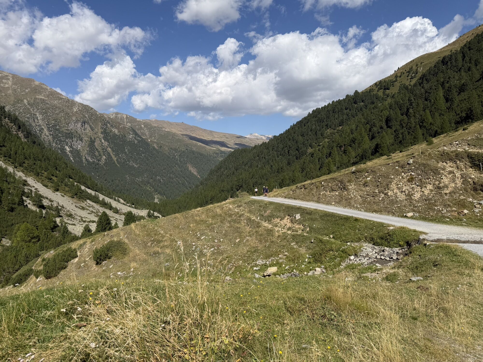
Departure from the P6 La Tresge'nda parking lot with an initial stretch on an asphalt road up to Pont da l'Al. From here the road is unpaved and climbs in switchbacks through the larch and fir forest along...
Departure from the P6 La Tresge'nda parking lot with an initial stretch on an asphalt road up to Pont da l'Al. From here the road is unpaved and climbs in switchbacks through the larch and fir forest along trail No. 119, rich in botanical variety, well described by dedicated information panels placed along the trail. Going up, the forest gives way to meadows and rocky areas adorned with the colors and scents of junipers and rhododendrons. You then reach the Chese'iera da li Mina and, continuing for a short easy section, you arrive at the Chese'ira dal Gras di Agne'i and the adjacent Alpe Mine Refreshment Point, which offers a tasty stop. From here trail No.120 climbs and becomes more demanding, passes the Ermelin Hut and, continuing, the markings gradually lead to the destination on the mountain ridge up to the summit. Hence the name Al Filo'n for a panoramic view from the height of its 3,133 meters above sea level.
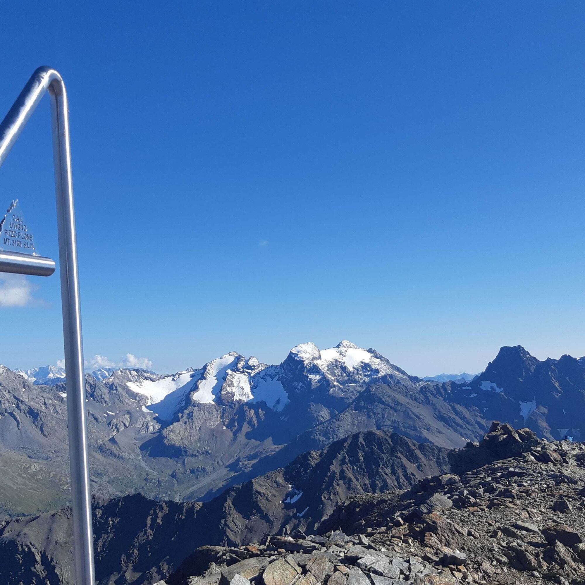

P6 Tresge'nda - Via da li Mi'na - Chese'ira dal Gras di Agne'i - Baite'l de la Camana di Ermeli'n - Al Filo'n
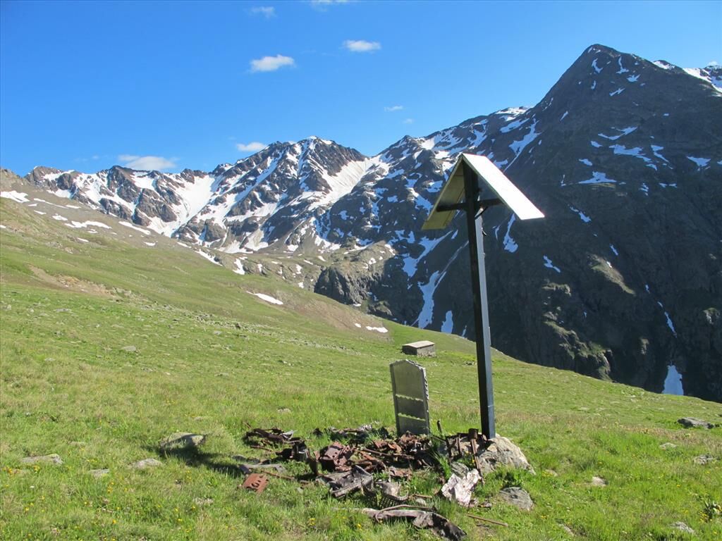
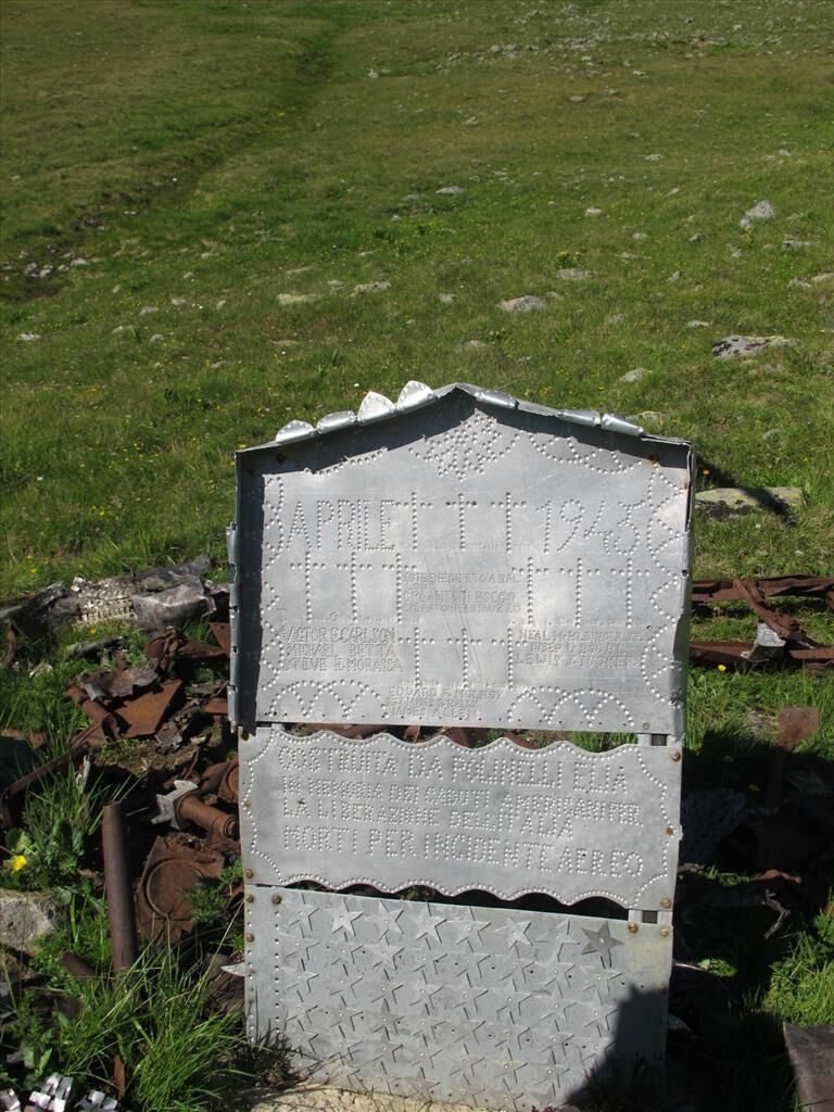
Testimony of World War II. At the height of the Ermelin Hut is the point where, during the war period of '45, an American four-engine plane engaged in dropping equipment and supplies, due to engine failure, crashed to the ground and caught fire. In this disaster, 13 American soldiers lost their lives.
Kamery internetowe z trasy

Popularne wycieczki w okolicy
-
5,0
Mountain hike to Lagh da Saoseo
ciężkiWędrówka 15,0 km -
4,8
Lagalb - Val Minor - Motta Bianca - Lagalb
średniWędrówka 9,80 km -
4,5
Diavolezza - Lej da Diavolezza
średniWędrówka 6,22 km -
4,7
Val Nera Waterfalls
światłoWędrówka 5,70 km -
5,0
Diavolezza - Sass Queder
światłoWędrówka 1,55 km -
5,0
Crap da la Pare' with Joëlette
światłoWędrówka 4,58 km -
4,3
Lago Bianco
Wędrówka 7,91 km -
5,0
Ospizio Bernina Station - Alp Grüm (-Cavaglia)
światłoWędrówka 4,97 km -
4,5
Muottas Muragl - Fuorcla Muragl - Val Chamuera
średniWędrówka 17,6 km -
4,6
Diavolezza
ciężkiTrailrunning 5,97 km
Wędrówki i tropienie


Nie przegap ofert i inspiracji na następne wakacje
Twój adres e-mail została dodana do listy mailingowej.


