


Mount Staircase Ring
Zdjęcia naszych użytkowników
-
 © Roberto PasoliniUtworzono dnia 06.08.2025
 -
 © Roberto PasoliniUtworzono dnia 06.08.2025
 -
 © Roberto PasoliniUtworzono dnia 06.08.2025
 -

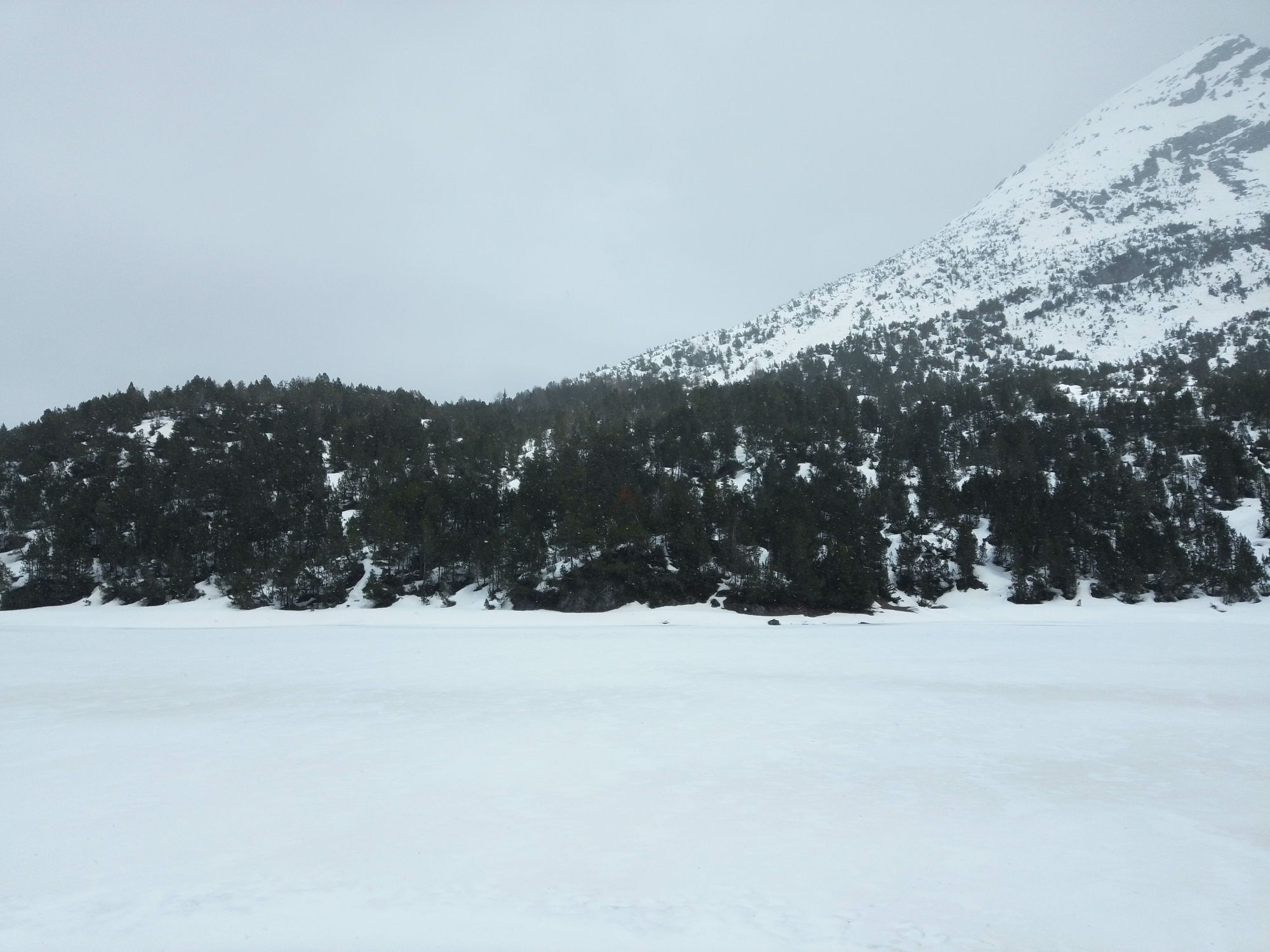
 © Baszler FritzUtworzono dnia 03.09.2025
 -

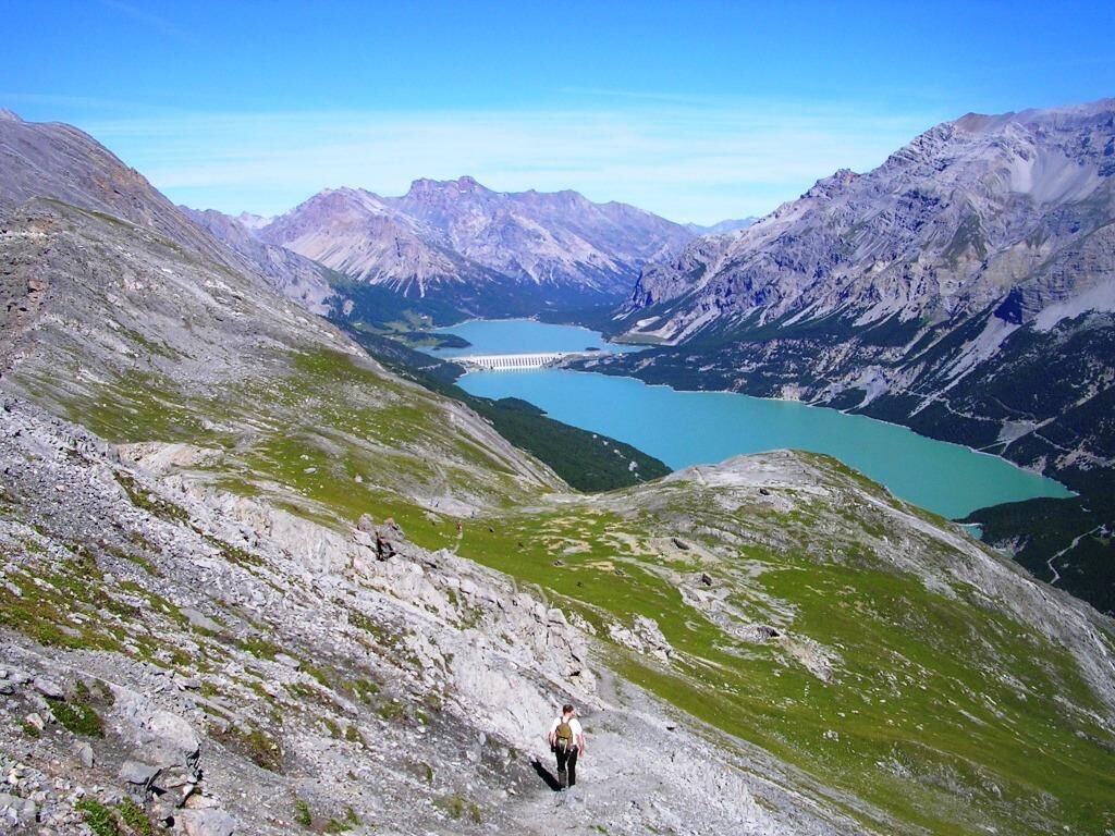
 © Fabio SalviniUtworzono dnia 01.05.2025
 -
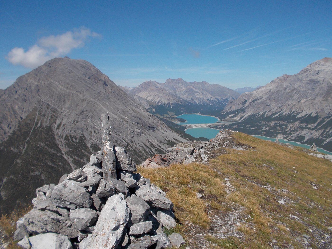
 © Fabio SalviniUtworzono dnia 01.05.2025
 -
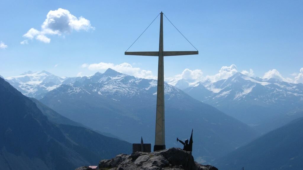
 © Fabio SalviniUtworzono dnia 26.04.2024
 -
 © Fabio SalviniUtworzono dnia 26.04.2024
 -
 © Fabio SalviniUtworzono dnia 26.04.2024
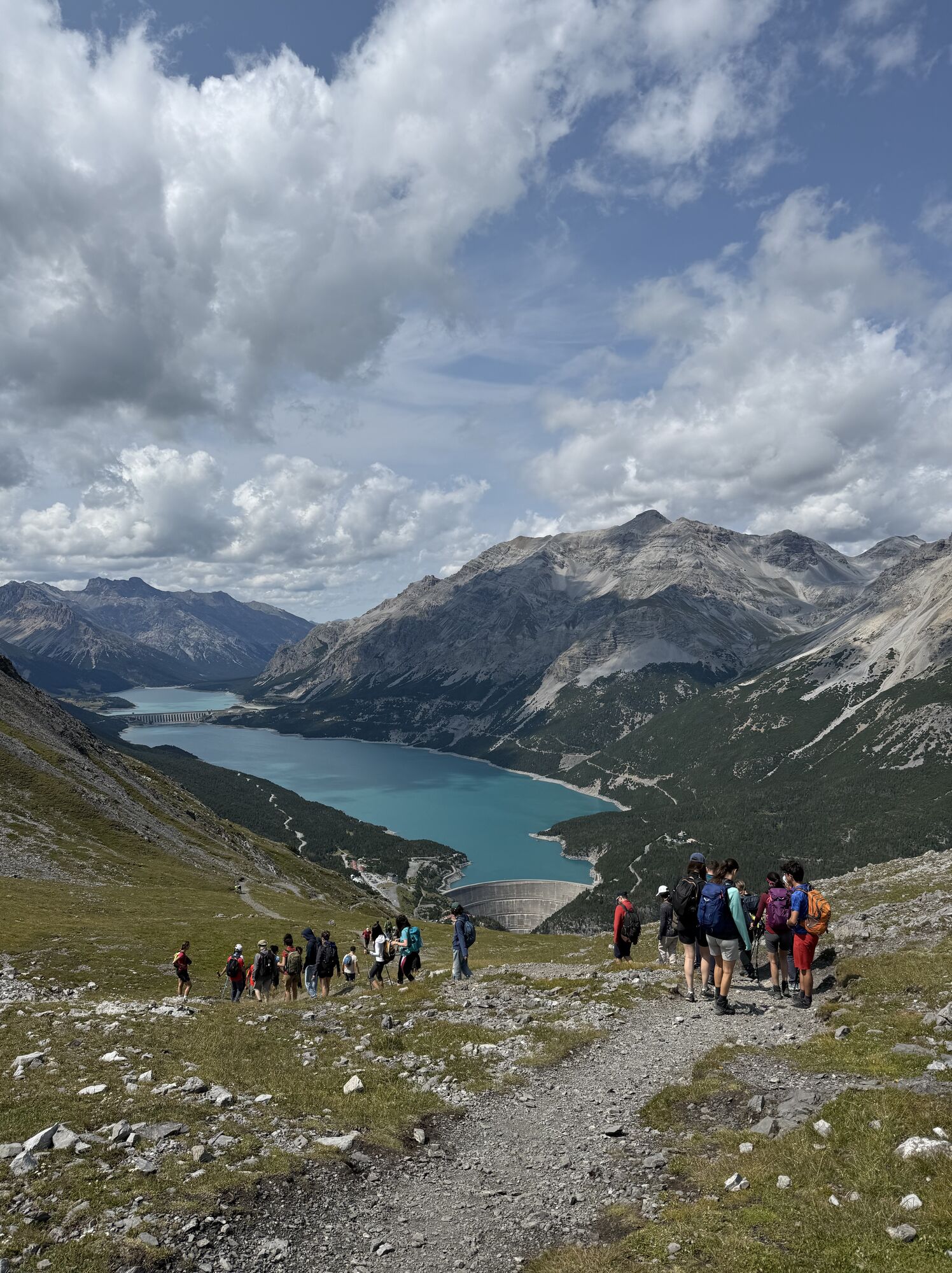
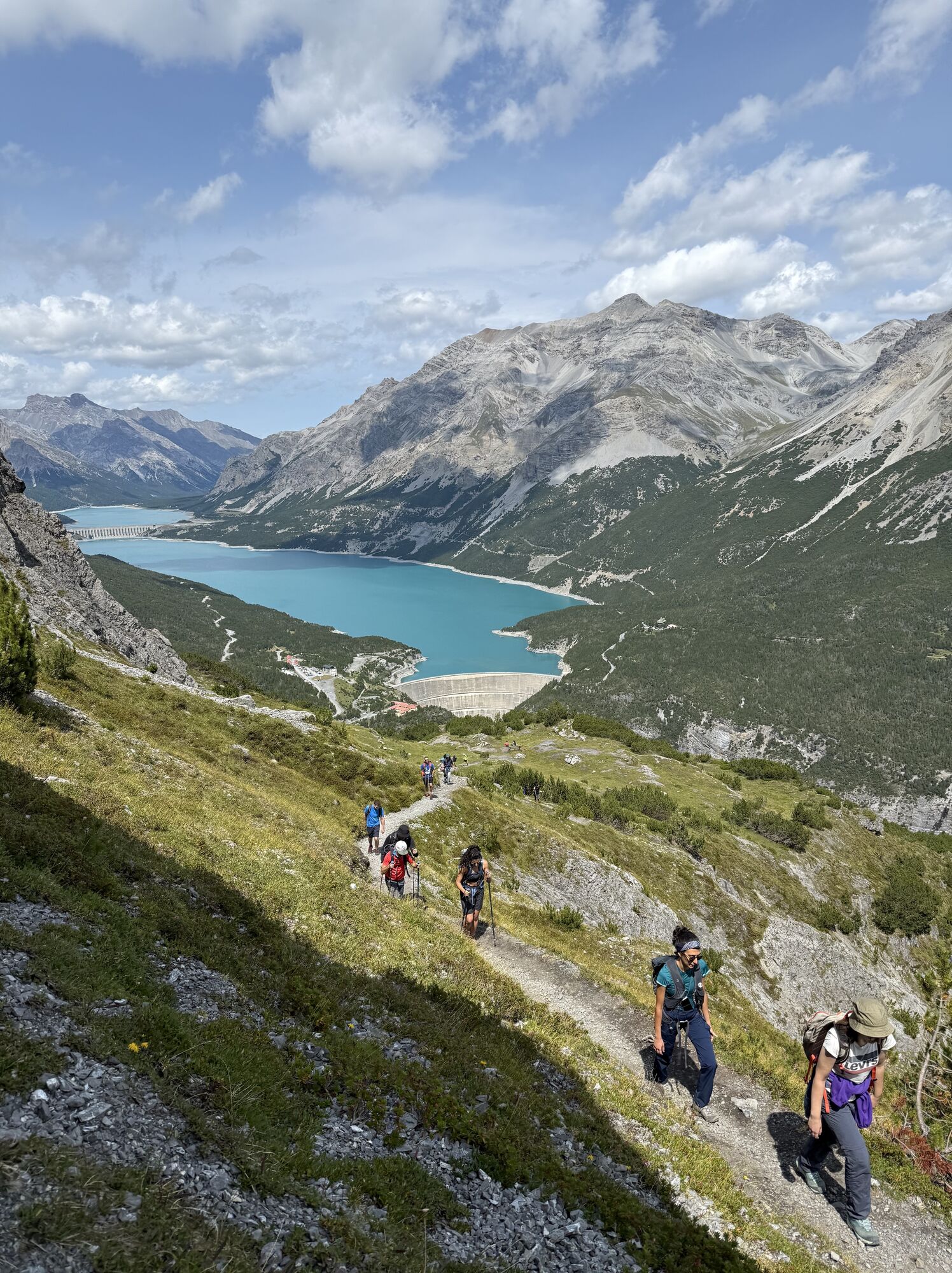

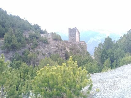
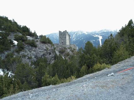
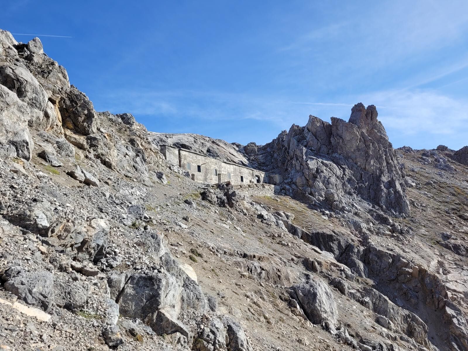
From the Torri di Fraele climb military track N197.1 through a dense pine forest until you reach a shoulder at the foot of a rocky wall. Follow a ledge then climb up through rocks, gullies and screes along...
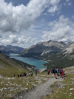
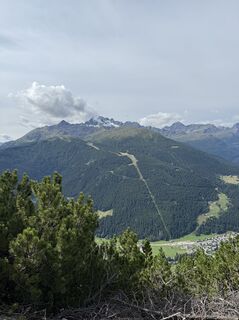
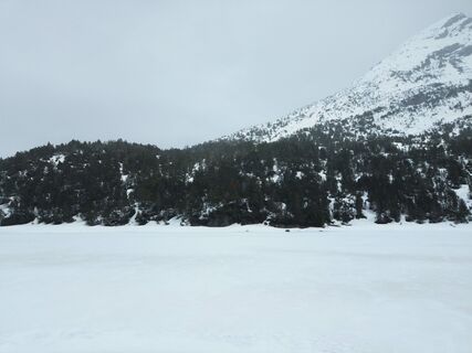
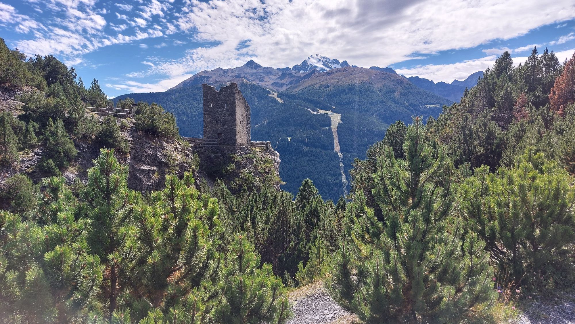
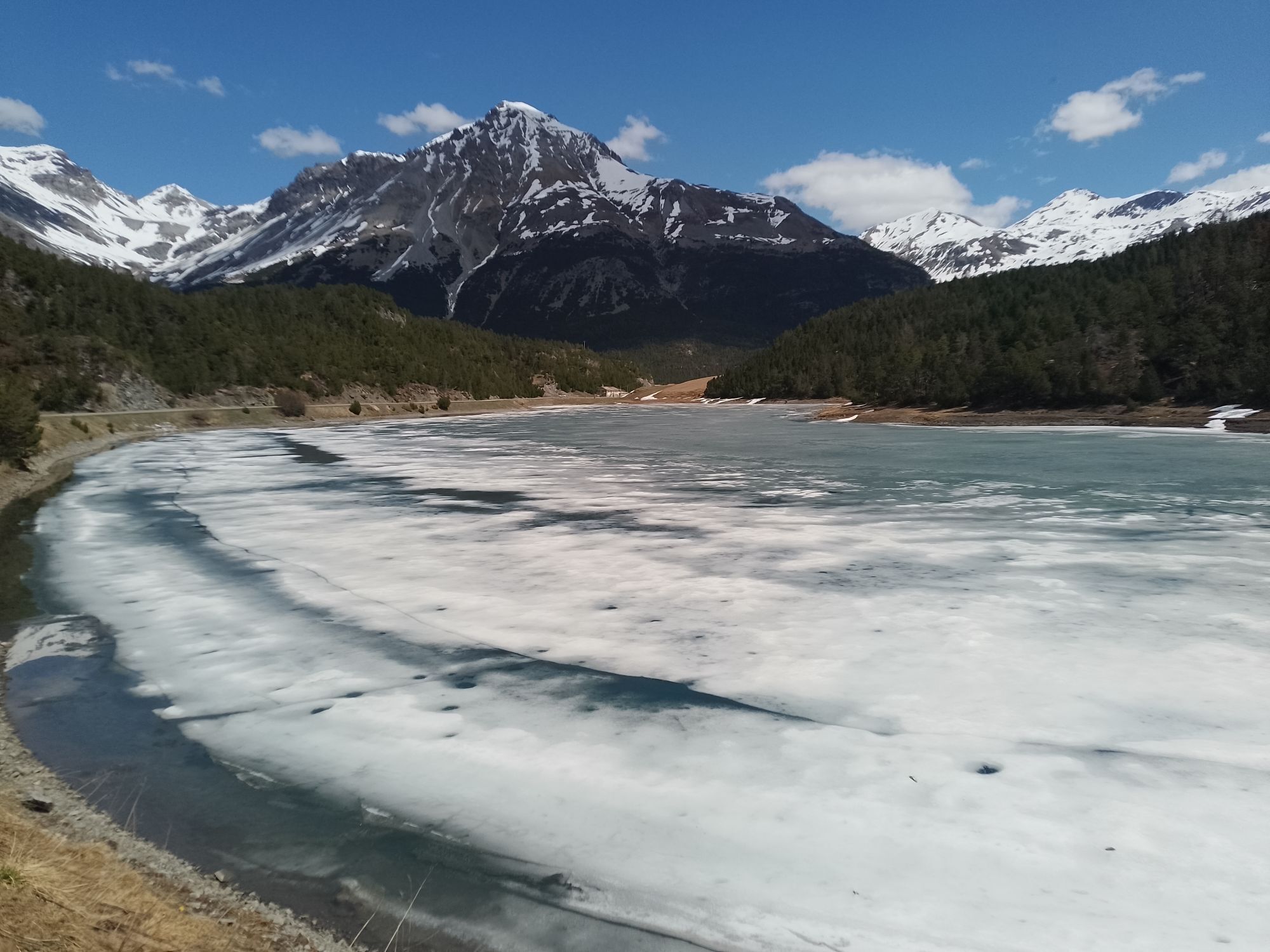
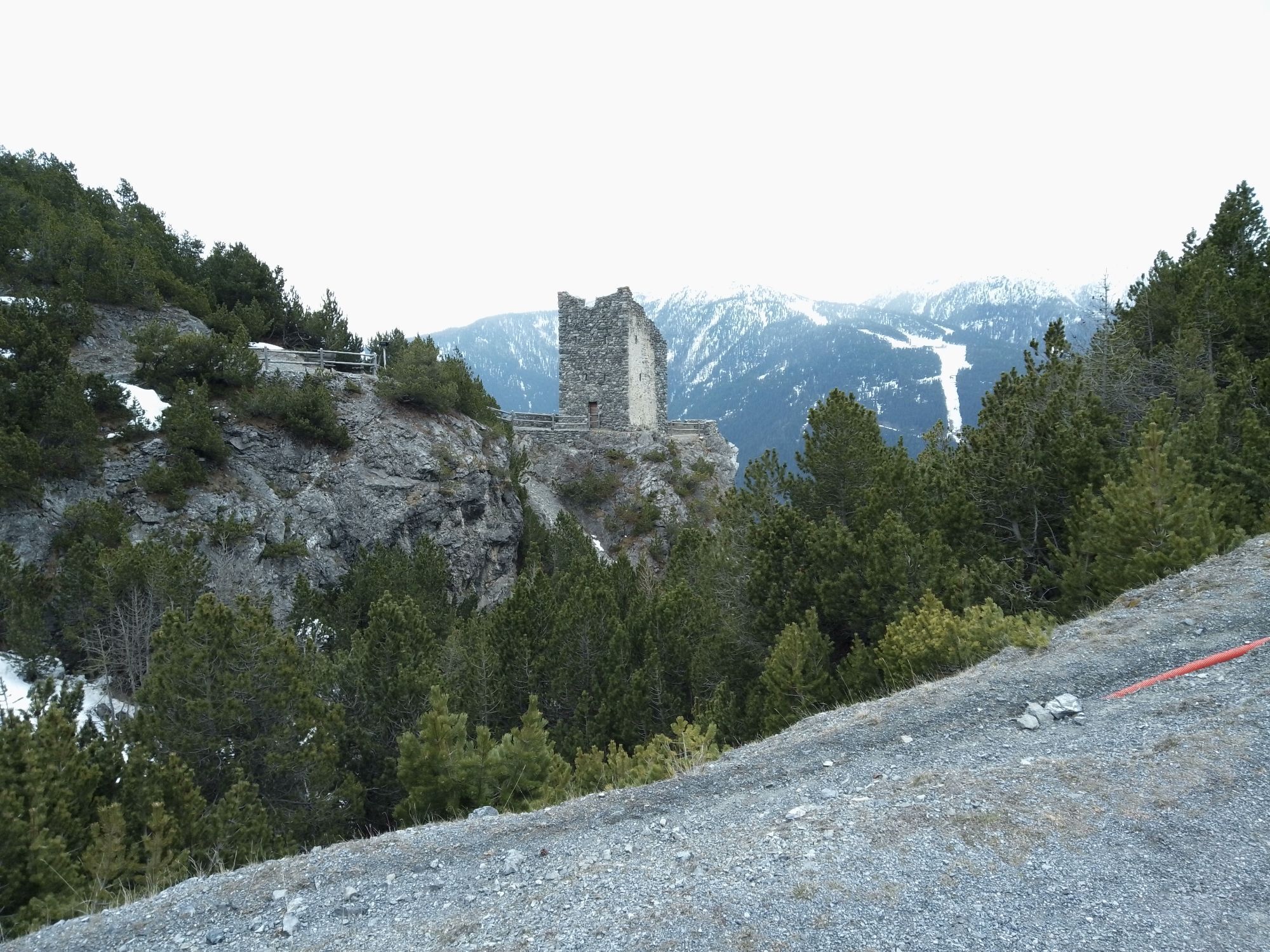
From the Torri di Fraele climb military track N197.1 through a dense pine forest until you reach a shoulder at the foot of a rocky wall. Follow a ledge then climb up through rocks, gullies and screes along the trail. The final bend brings you to the clearing where the Monte Scale barracks stands. From inside the barracks, a gallery with two powder magazines allows you to cross under the pass and come out on the opposite side of the mountain. A narrow trail brings you to the Cross of Monte Scale with excellent views over the Bormio area. Return via the northern side of Monte Scale along path N197. Initially the track leads through thin pastures then enters a dense forest of pines until you reach the Casina del Lago, today a private shelter for fishermen on the quiet Lago delle Scale. Walk around the lake to return to your starting point.


Follow the signs to Fraele Towers. Here, park the car and continue on the military mule track N197.1
Tak
A good pair of hiking boots or walking boots is recommended.
There are no refreshments along the route, so it is recommended to have sufficent supply of water and food according to your needs.
Follow the signs for Torri di Fraele and Cancano Lakes.
Public transportation to Cancano
In the vicinity of Fraele Towers, upon payment of the ticket at Sasso Prada.
Route to be traveled exclusively in the summer months.
Monte Scale barracks. Called the Summit Shelter of Monte Scale during the Great War, it was built in 19111912 in support of the artillery at the Oga Fortress. In 1914, before the entry of Italy into the war, it was equipped and armed in order to create a strategic point for observation and defence.


Popularne wycieczki w okolicy
-
4,3
Sonnenaufgang auf der Rötelspitze im Nationalpark Stilfserjoch
Wędrówka 2,02 km -
3,4
Sta.Maria, Prà da Vau - Lai da Rims - Alp Sot - Prà da Vau
ciężkiWędrówka 14,7 km -
3,3
Watervallen wandeling
światłoWędrówka 4,95 km -
4,8
Wanderung: Heilige drei Brunnen zur Berglhütte
światłoWędrówka 5,51 km -
5,0
Crap da la Pare' with Joëlette
światłoWędrówka 4,58 km -
4,5
Stelvio Epic Rides: Stelvio Pass
ciężkiDroga rowerowa 20,9 km -
5,0
TIP Panorama Road Tyrol ➤ Stelvio Pass
światłoMotorrad 40,8 km -
2,0
Military Historical Hiking Trail "Scorluzzo"
średniWędrówka 9,52 km -
4,0
Ortler Höhenweg
ciężkiWycieczka wysokogórska 123,2 km -
5,0
Piz Umbrail und Abstieg zum Lai da Rims
ciężkiWycieczka wysokogórska 15,0 km

Wędrówki i tropienie


Nie przegap ofert i inspiracji na następne wakacje
Twój adres e-mail została dodana do listy mailingowej.