


Profa Alta
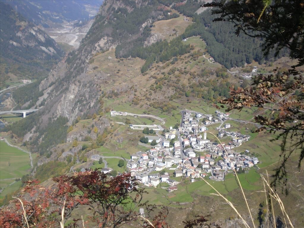
The route starts in the village of Fumero at 1465 meters in Sondalo and follows the steep trail S539 that climbs towards the Agac huts at 1625 meters and Li Pe'za. You arrive at Pavagn and take a wide,...
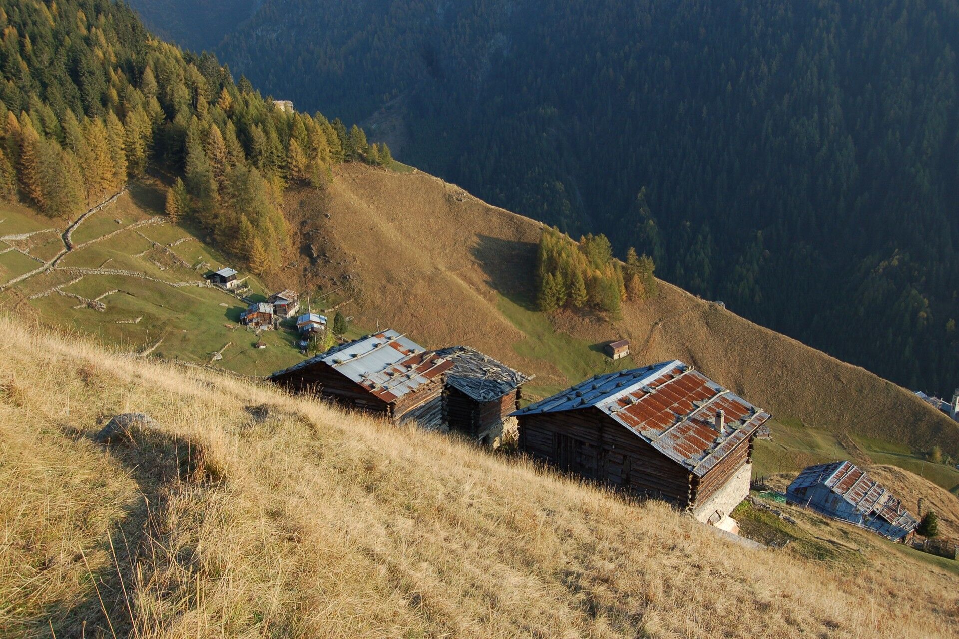
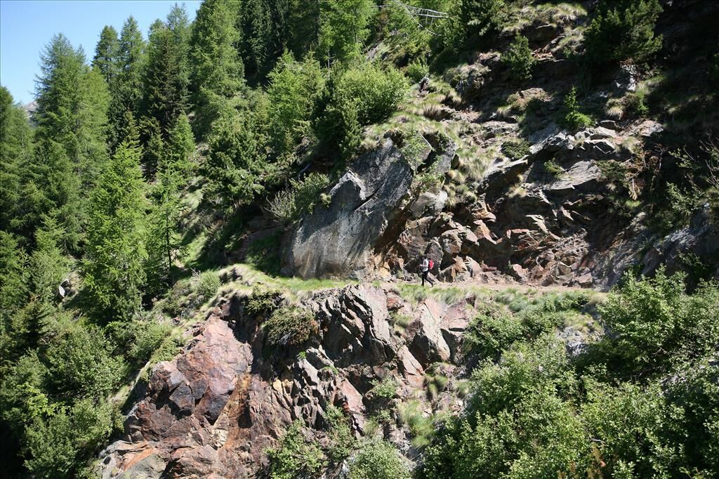
The route starts in the village of Fumero at 1465 meters in Sondalo and follows the steep trail S539 that climbs towards the Agac huts at 1625 meters and Li Pe'za. You arrive at Pavagn and take a wide, flat trail, a former military road, leaving below the Pece' huts until reaching the Val Fin. The route then crosses a very well-preserved forest of Swiss stone pines and larches up to the Profa Alta huts in the municipality of Valdisotto.

Beyond the Traces of History - Itinerary 2 - Filon dei Mot
Fumero is a small hamlet of Sondalo located at the entrance of the Rezzalo Valley. The hamlet's church, dedicated to St. Anthony Abbot, dates back to August 31, 1506. In the church's history, the devotion of the families from Fumero and Frontale who emigrated to Venice is noteworthy.
Popularne wycieczki w okolicy
-
Stelvio Epic Rides: Passo Gavia
ciężkiDroga rowerowa 25,8 km -
4,0
Adamello - Val Grande - Biwak
średniE-MTB 22,8 km -
5,0
On the slopes of the Reit to admire Bormio from above
średniWędrówka 10,4 km -
Pizzo Dosde'
średniWycieczka narciarska 12,5 km -
St. Columba Horn
średniWycieczka narciarska 8,20 km -
Cima Piazzi - Val Lia
średniWycieczka narciarska 11,1 km -
Val Zebru
średniMountainbike 17,5 km -
5,0
Stelvio Epic Rides: Forni climb
średniDroga rowerowa 4,93 km -
Confinale Circuit
ciężkidługodystansowy szlak pieszy 39,0 km -
5,0
Case di Viso
światłoWędrówka 8,90 km
Wędrówki i tropienie


Nie przegap ofert i inspiracji na następne wakacje
Twój adres e-mail została dodana do listy mailingowej.