






Sentiero del Viandante stage Piantedo - Morbegno
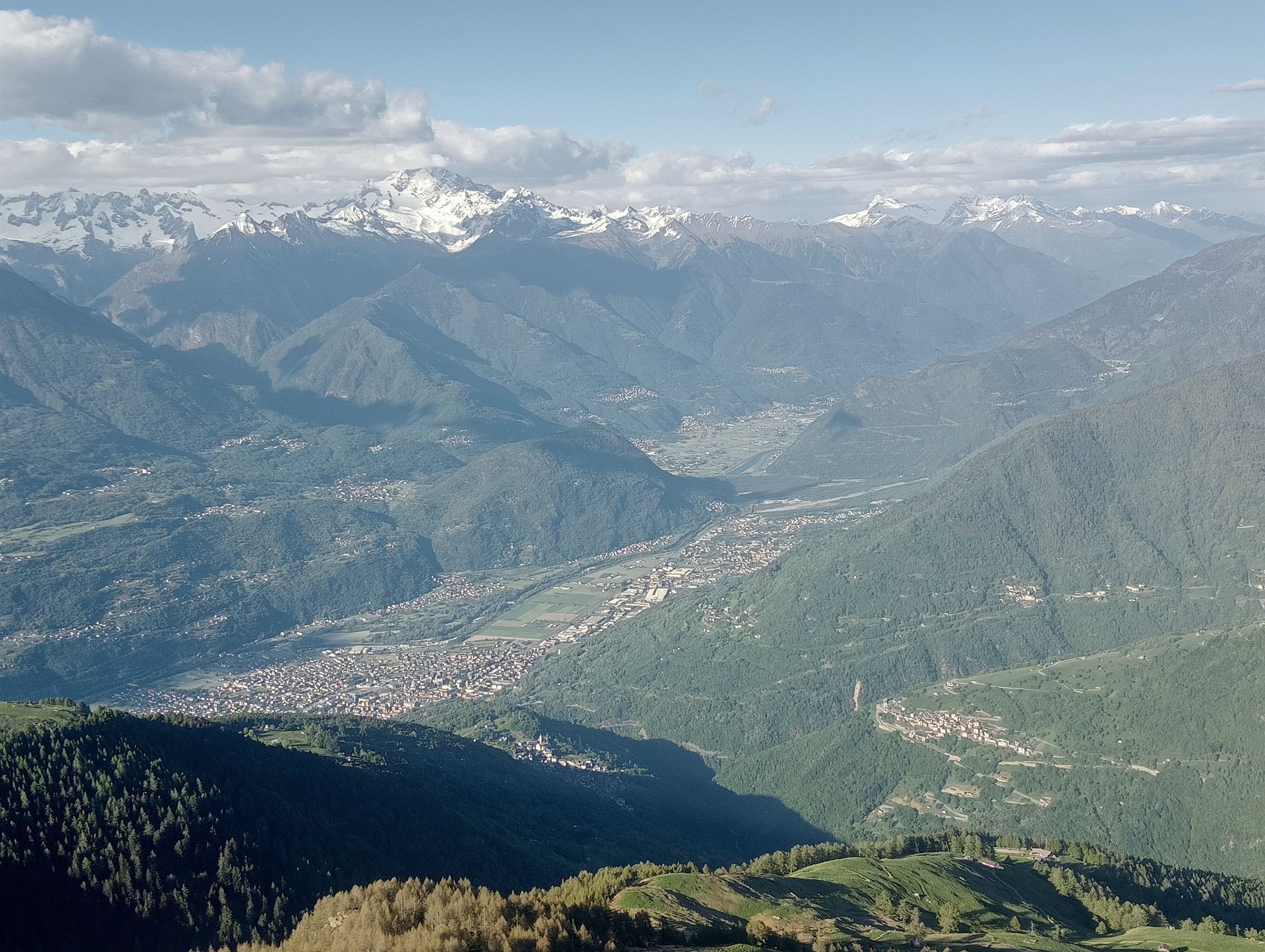
The Sentiero del Viandante (Wayfarer's Path) does not retrace an ancient route, but is the result of the union of a number of paths that in the past united the towns on the Lecco side of the lake and that...
The Sentiero del Viandante (Wayfarer's Path) does not retrace an ancient route, but is the result of the union of a number of paths that in the past united the towns on the Lecco side of the lake and that in turn were part of a larger system of routes from Milan to the Alpine passes.
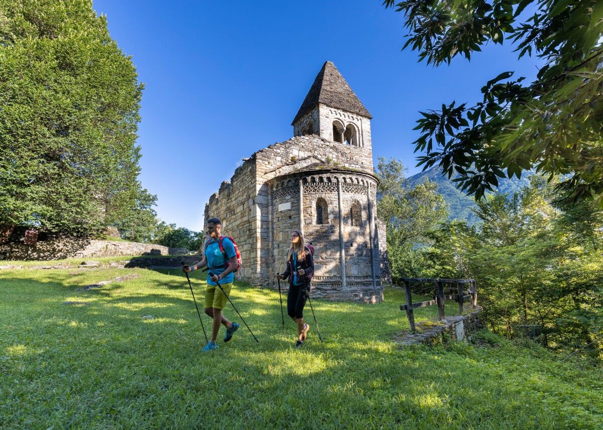
As for the stage in lower Valtellina, recently added to the original route, past the town of Colico (LC) it continues to Piantedo where the original route ends near the Sanctuary of the Madonna di Val Pozzo. From the Sanctuary, the trail continues on the Orobic side of the lower Valtellina among the chestnut forests of the municipalities of Piantedo, Delebio, Andalo Valtellino, Rogolo, and Cosio Valtellino (where the ruins of the ancient Romanesque Abbey of San Pietro in Vallate are encountered) and then climbs towards the village of Sacco in the Bitto Valley and then descends towards Morbegno, where the trail ends near the train station.


Orange signage Wayfarer's Path
Uzyskaj wgląd
Zawsze na żywo z ponad 9 500 kamer internetowych. bergfex Jako użytkownik Pro, możesz teraz zobaczyć odpowiednie kamery internetowe dla wielu wycieczek w aplikacji wycieczki od. Pozwala to na bezpośredni podgląd aktualnych warunków.
Popularne wycieczki w okolicy
-
4,7
Monte Legnone- höchste gipfel der Comer See
średniWędrówka 11,6 km -
4,6
Monte Berlinghera da San Bartolomeo
średniWędrówka 8,74 km -
5,0
Bocchetta Graglio Impressionante
średniWędrówka 8,85 km -
5,0
Hike in Val Codera Novate - Rifugio Brasca ( Sentiero Roma first stage)
średniWędrówka 10,7 km -
4,0
Abbazia cistercense di Santa Maria di Piona da Olgiasca, Colico, Lombardia/Italia
światłoWędrówka 5,76 km -
5,0
Val Codera
średniWędrówka 13,6 km -
4,3
Argigno, Italien
średniMountainbike 23,0 km -
Tour dell’alpe Giumello
światłoWędrówka 7,52 km -
5,0
Via Priula da Mezzoldo a Ca’ San Marco
światłoWędrówka 9,65 km -
5,0
Costiera dei Cech among forests, vineyards and villages
średniWędrówka 5,43 km
Wędrówki i tropienie


Nie przegap ofert i inspiracji na następne wakacje
Twój adres e-mail została dodana do listy mailingowej.





