







Piateda Alta
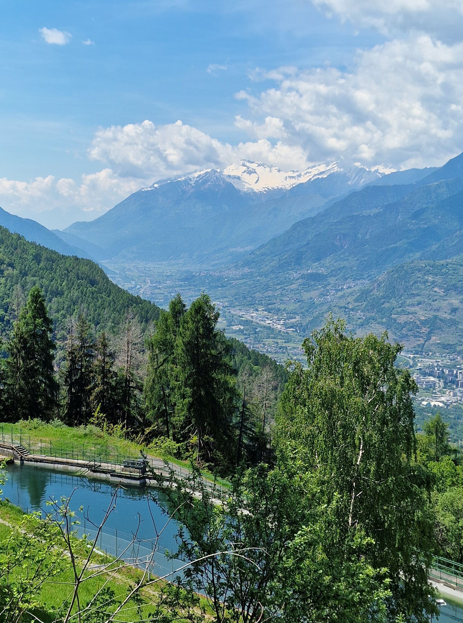
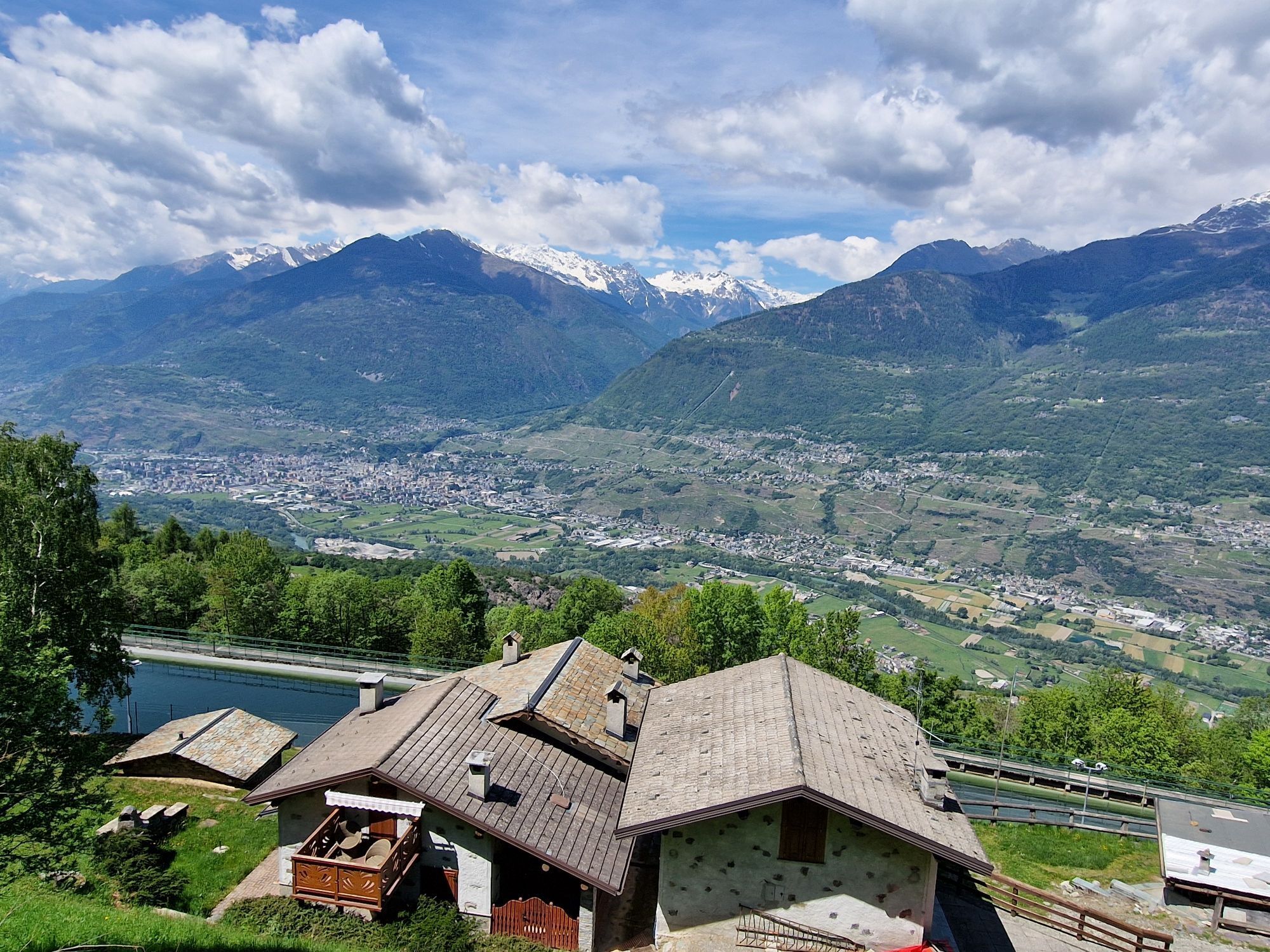
Along a short dirt road starting on the right side of the road, you reach the loc. Prebottoni from which, then, by taking a recently restored path, it is possible to connect to the hiking loops of the...
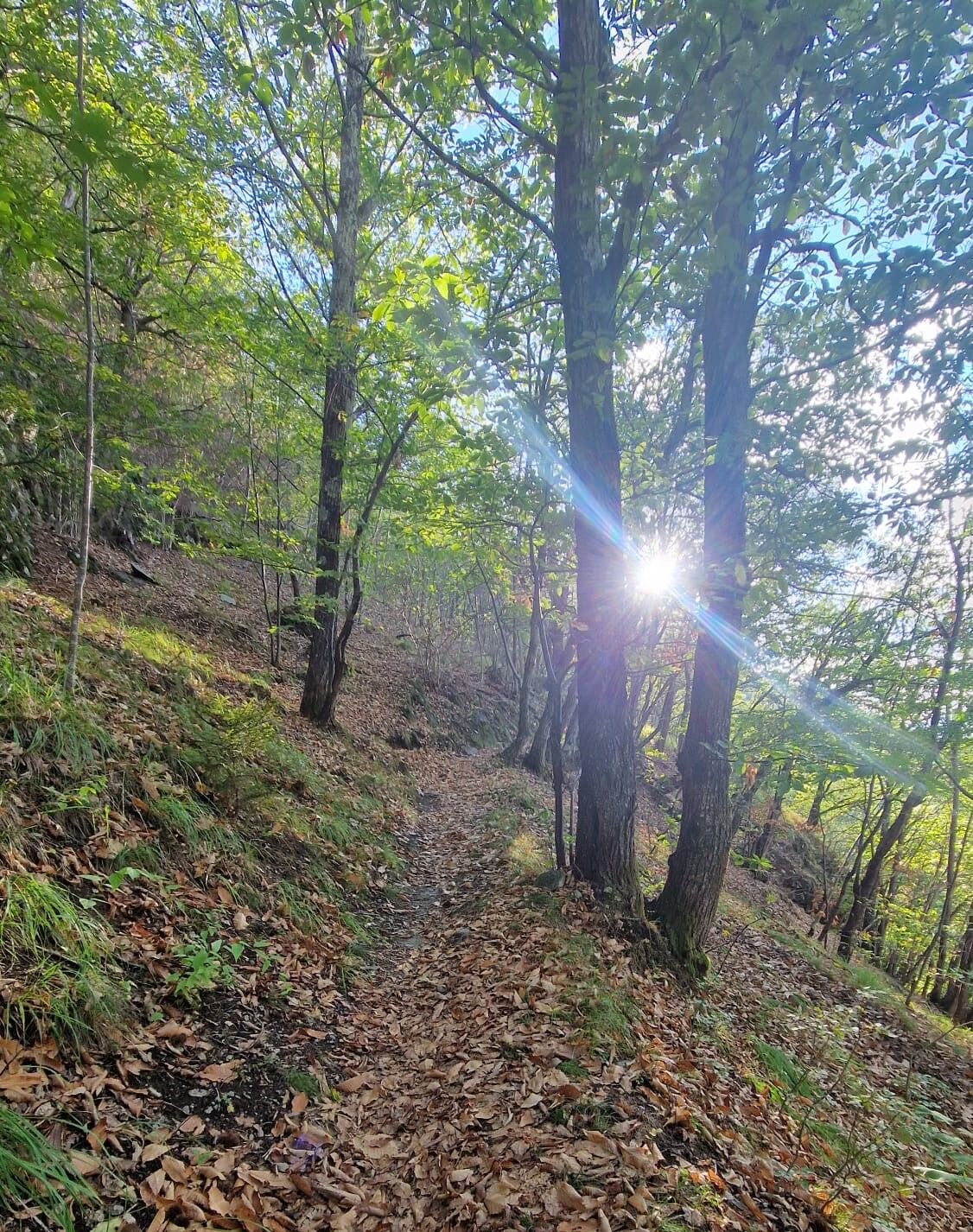
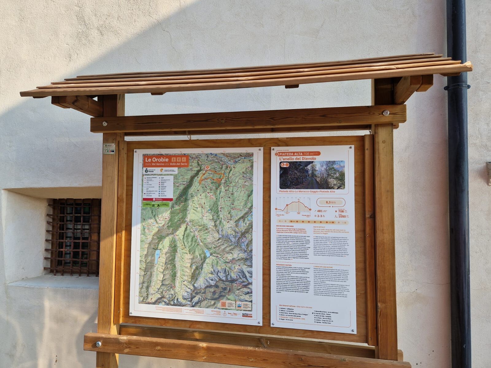
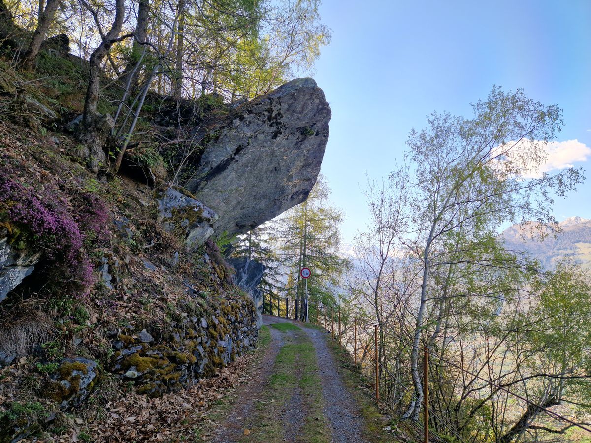
Along a short dirt road starting on the right side of the road, you reach the loc. Prebottoni from which, then, by taking a recently restored path, it is possible to connect to the hiking loops of the Marmitte. Following the signs for the Beto'i, you can admire these natural spectacles along the Serio valley. In this proposal, you then climb along a historic mule track leading to loc. Dossi at about 1000 m altitude, the highest point of the itinerary, then reach the decauville and follow the signs westwards towards the locality Gaggio. Following the directions, you have to travel a stretch of paved road downhill and then take the path towards Val Venina which brings us back to the starting point of the itinerary. Since it is a loop itinerary, it is possible to proceed in both directions.
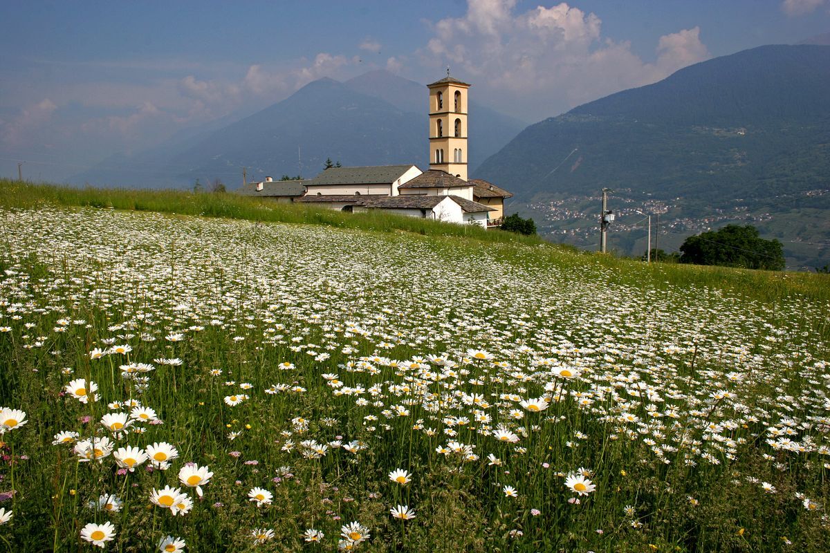

CAGNOLETTI-GUZZUN-PIZZI STAIRS-LA MUSUN-PIZZI-PRA' MARSCIANA-PRA'SCERVERA-CAGNOLETTI
yes, Piateda Alta
Uzyskaj wgląd
Zawsze na żywo z ponad 9 500 kamer internetowych. bergfex Jako użytkownik Pro, możesz teraz zobaczyć odpowiednie kamery internetowe dla wielu wycieczek w aplikacji wycieczki od. Pozwala to na bezpośredni podgląd aktualnych warunków.
Popularne wycieczki w okolicy
-
4,5
Rifugio Curo’ e lago del Barbellino - lago naturale del Barbellino - lago Gelt
ciężkiWędrówka 26,4 km -
4,0
Valbondione-Curò
średniWędrówka 7,02 km -
Val dal Saient - Short version
Wędrówka 11,4 km -
5,0
Brunone
średniWycieczki górskie 15,0 km -
Rifugio Bosio-Galli (from Primolo)
średniWędrówka 8,35 km -
5,0
Carona - Rifugio Fratelli Calvi - Portulino - Monte Madonnino
ciężkiWędrówka 25,6 km -
Szlak Valtellina
średniJazda na rowerze 113,2 km -
5,0
Fusine-Dordona Pass (MTB-EMTB)
światłoMountainbike 20,4 km -
5,0
Bosio-Galli Refuge (from Piasci)
światłoWędrówka 4,58 km -
4,2
Il Bivacco - Bivacco Pedrinelli - Passo di Publino - Pizzo Zerna
ciężkiWędrówka 15,9 km
Wędrówki i tropienie


Nie przegap ofert i inspiracji na następne wakacje
Twój adres e-mail została dodana do listy mailingowej.





