


PIATEDA-RODES
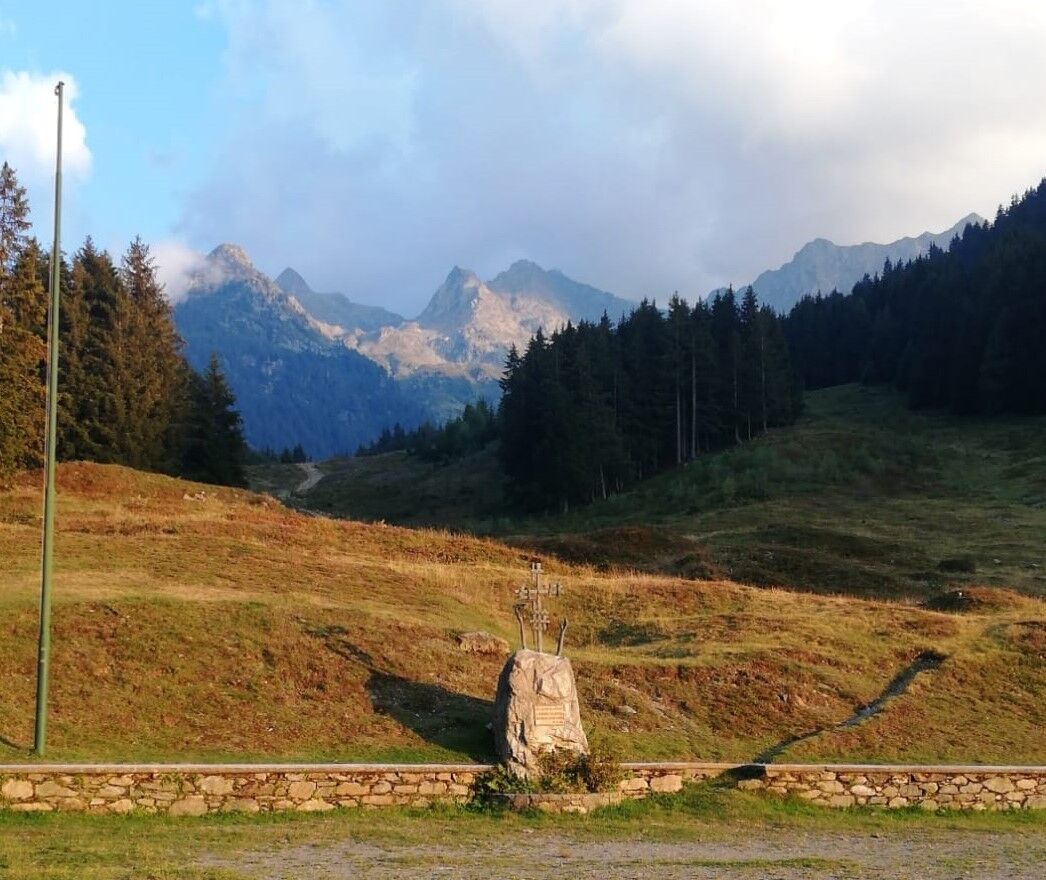
In 12.5 km, you start from 300 m at Piateda Centro to reach 2,829 m at Pizzo di Rodes. The itinerary involves departure from the Town Square, passing through the Valbona district, the steep Marmitte path...
In 12.5 km, you start from 300 m at Piateda Centro to reach 2,829 m at Pizzo di Rodes. The itinerary involves departure from the Town Square, passing through the Valbona district, the steep Marmitte path up to the Decauville (altitude of 1,000 m), then moving along the border between the Municipalities of Piateda and Ponte in Valtellina through trails and forest tracks until the Alpe Armisola (altitude of 1,600 m), considered the half-way checkpoint. From Armisola, the path climbs towards the now abandoned high pastures of Piateda di Sotto (1,800 m) and Piateda di Sopra (2,050 m). This is the hardest stretch with some truly vertical sections. After passing the junction for Grioni, you head to the Bocchetta di Santo Stefano (2,378 m), and the path gradually disappears, giving way to scree and alpine meadows. After a nearly flat ascent of about 1 km, you climb a rocky slope at the foot of Punta di Santo Stefano; leaving the Bocchetta di Reguzzo on the left, you head towards the now clearly visible summit. After just over 2,500 meters of ascent, you reach the Peak of Pizzo di Rodes.
Agneda-Scais
Popularne wycieczki w okolicy
-
4,5
Rifugio Curo’ e lago del Barbellino - lago naturale del Barbellino - lago Gelt
ciężkiWędrówka 26,4 km -
4,0
Valbondione-Curò
średniWędrówka 7,02 km -
Val dal Saient - Short version
Wędrówka 11,4 km -
5,0
Brunone
średniWycieczki górskie 15,0 km -
5,0
Carona - Rifugio Fratelli Calvi - Portulino - Monte Madonnino
ciężkiWędrówka 25,6 km -
Szlak Valtellina
średniJazda na rowerze 113,2 km -
5,0
Fusine-Dordona Pass (MTB-EMTB)
światłoMountainbike 20,4 km -
3,0
Cima Meriggio
światłoWędrówka 11,6 km -
4,2
Il Bivacco - Bivacco Pedrinelli - Passo di Publino - Pizzo Zerna
ciężkiWędrówka 15,9 km -
Via Dei Terrazzamenti
średnidługodystansowy szlak pieszy 74,1 km
Wędrówki i tropienie


Nie przegap ofert i inspiracji na następne wakacje
Twój adres e-mail została dodana do listy mailingowej.