






On the hills of Teglio among the buckwheat fields and vineyards of Valgella

Poziom trudności: T1
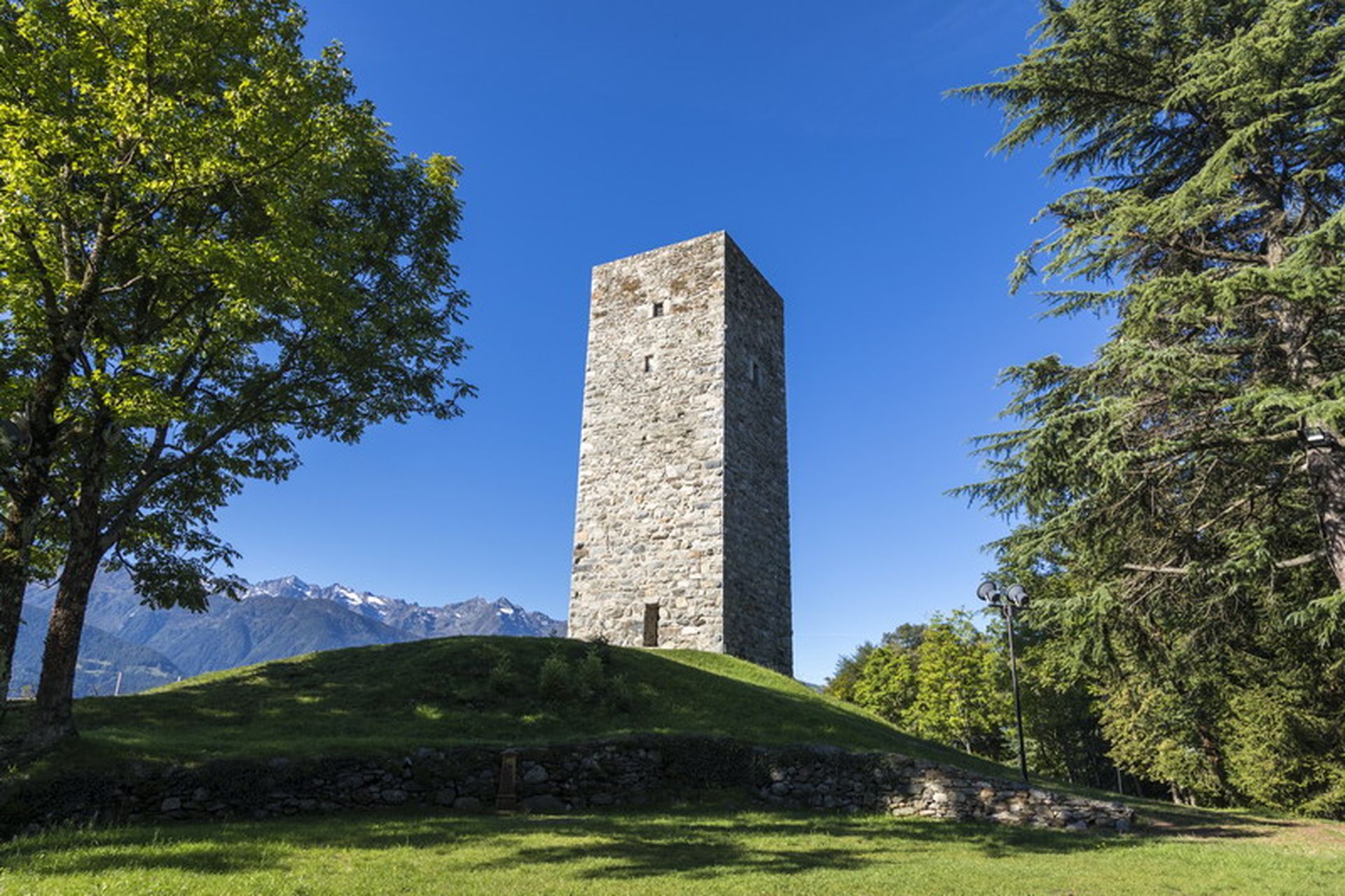
The first stage leads to the tower of Teglio Castle (m 893 a.s.l.), from which there is a magnificent view over much of Valtellina. From the hill you descend toward Besta palace, until shortly the road...
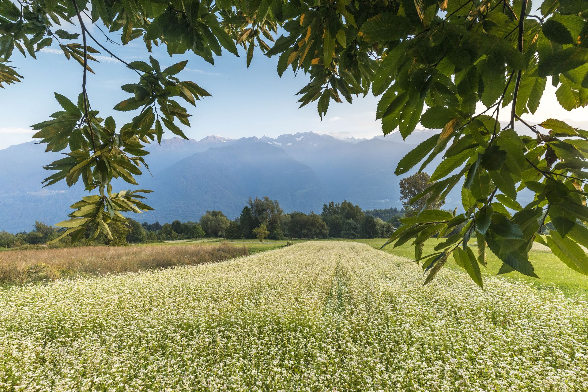
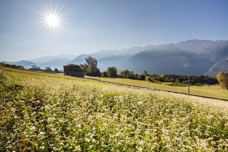
The first stage leads to the tower of Teglio Castle (m 893 a.s.l.), from which there is a magnificent view over much of Valtellina. From the hill you descend toward Besta palace, until shortly the road on the left becomes a path, ready to drive to the church of S. Antonio and, then, to Vangione (path with marker No. 306). Continuing in the same direction, you pass the contrada to the locality of La Sella (m 620 a.s.l.), an area of Valgella wine production. On the right, almost completely bypassing the slight hill, a small bridge crosses the stream: from here the ascent for the return begins. At the church of S. Giovanni turn right and, following the signs for Teglio, first pass through the locality of Capitel, then climb the scenic ridge of Dos de la Forca, in whose rocks it is easy to recognize groups of prehistoric cup-marks. Past the long ridge, you descend in the direction of Teglio toward the wide meadows and fields often cultivated with buckwheat. Taking the paved road to the right for about a hundred meters, on the left an agricultural road through the meadows leads back to Teglio.



T1
Popularne wycieczki w okolicy
- 4,5
Rifugio Curo’ e lago del Barbellino - lago naturale del Barbellino - lago Gelt
ciężkiWędrówka 26,4 km - 4,0
Giro del Lago - Le prese - Miralago
światłoWędrówka 7,43 km - 4,0
Valbondione-Curò
średniWędrówka 7,02 km Val dal Saient - Short version
Wędrówka 11,4 km- 5,0
Brunone
średniWycieczki górskie 15,0 km - 4,0
Mufule' Lake Ring
średniWędrówka 5,49 km - 5,0
32.05 Poschiavo - Tirano, Trans Altarezia Bike
ciężkiMountainbike 29,1 km Szlak Valtellina
średniJazda na rowerze 113,2 km33.10 Le Prese - Tirano, Via Albula / Bernina
średniWędrówka 14,6 kmCharcoal Burner Route San Romerio
ciężkiTrasa tematyczna 2,91 km
Wędrówki i tropienie


Nie przegap ofert i inspiracji na następne wakacje
Twój adres e-mail została dodana do listy mailingowej.





