







Viola Valley Overview
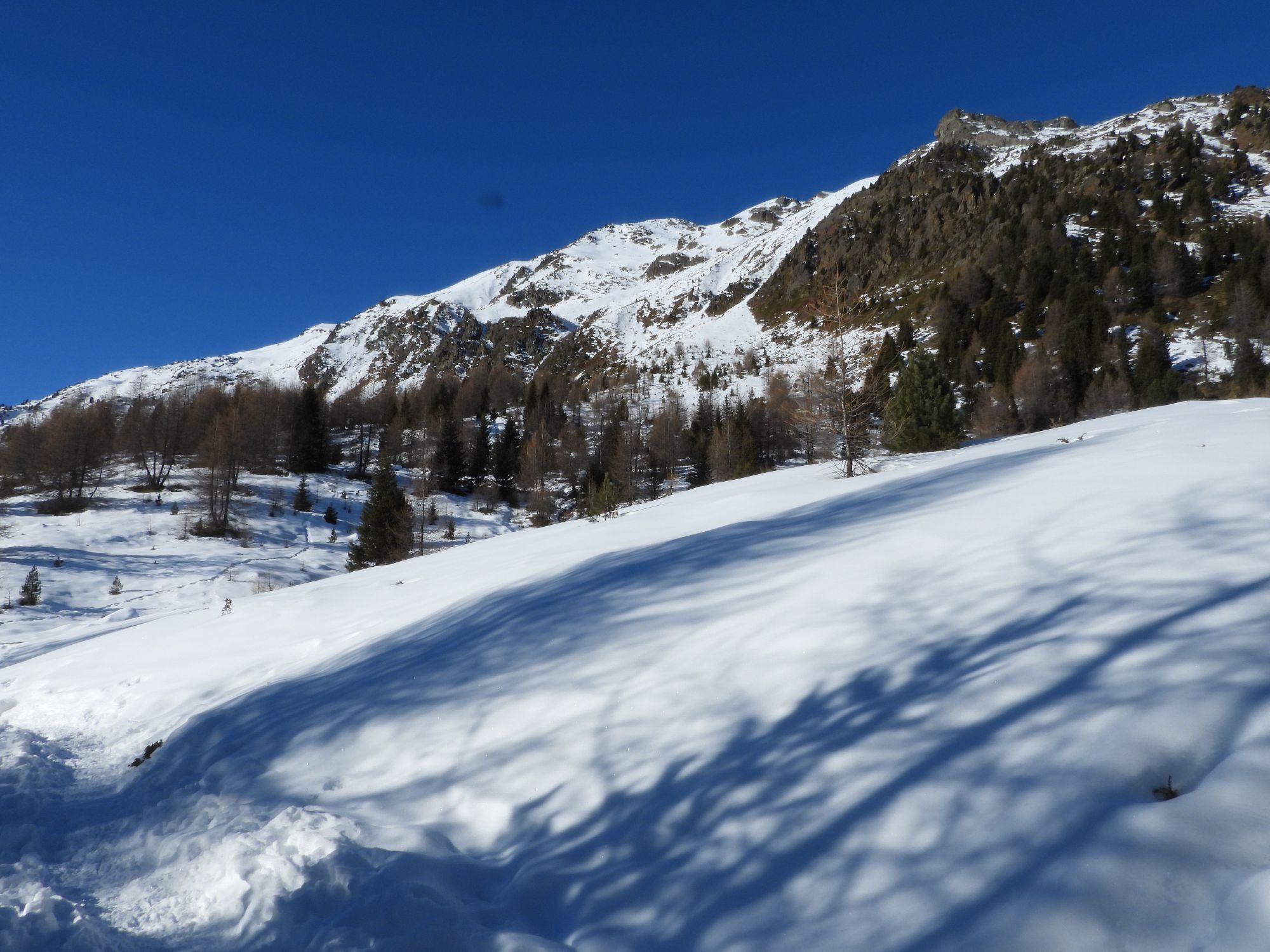
Opposite the Hotel Viola, in Arnoga in Valdidentro, take path N148 and after two turns uphill you reach Baite Cagnol, a typical rural settlement. The path continues uphill, first through a forest and then...
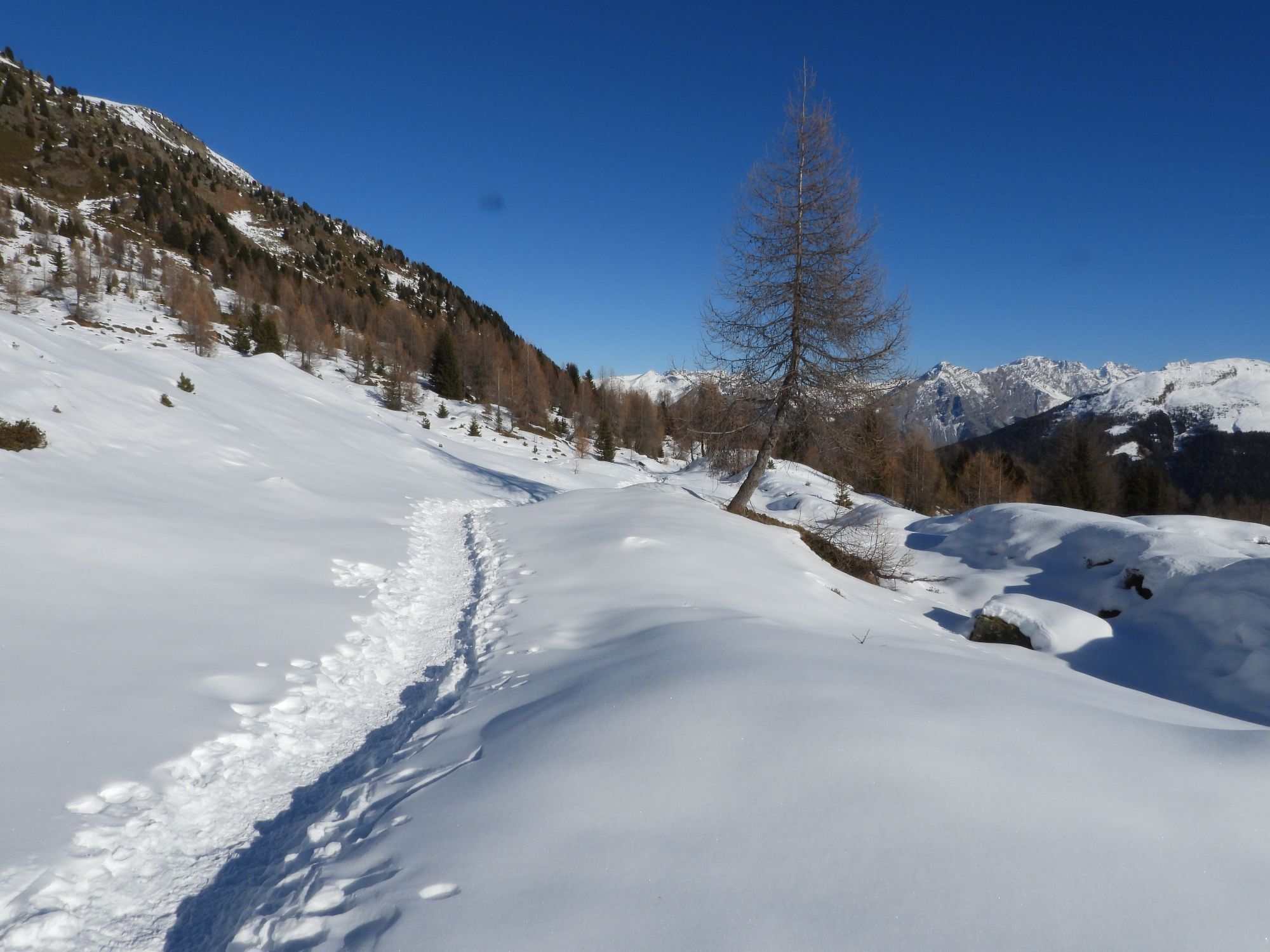
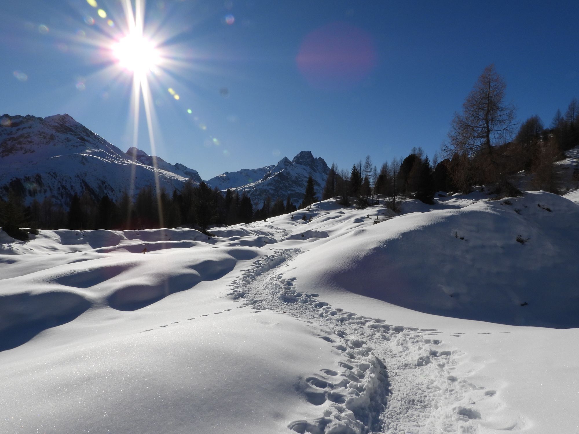
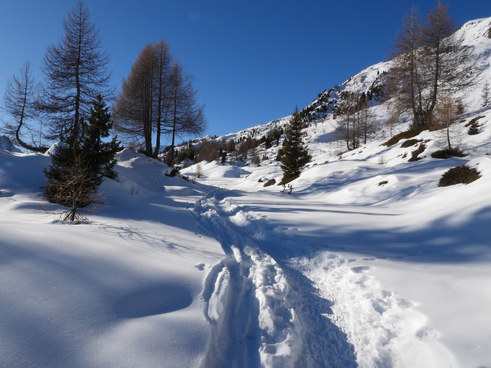
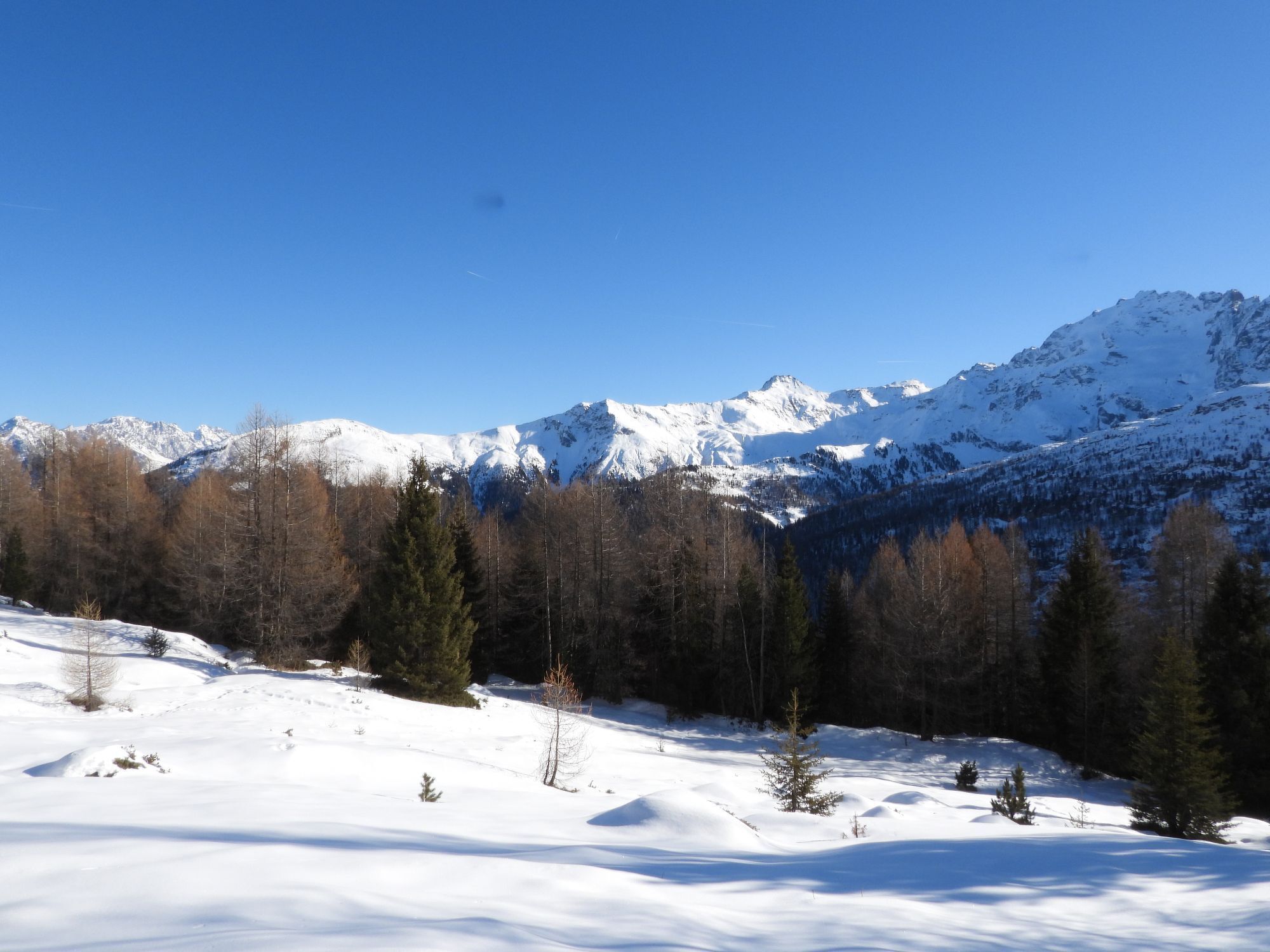
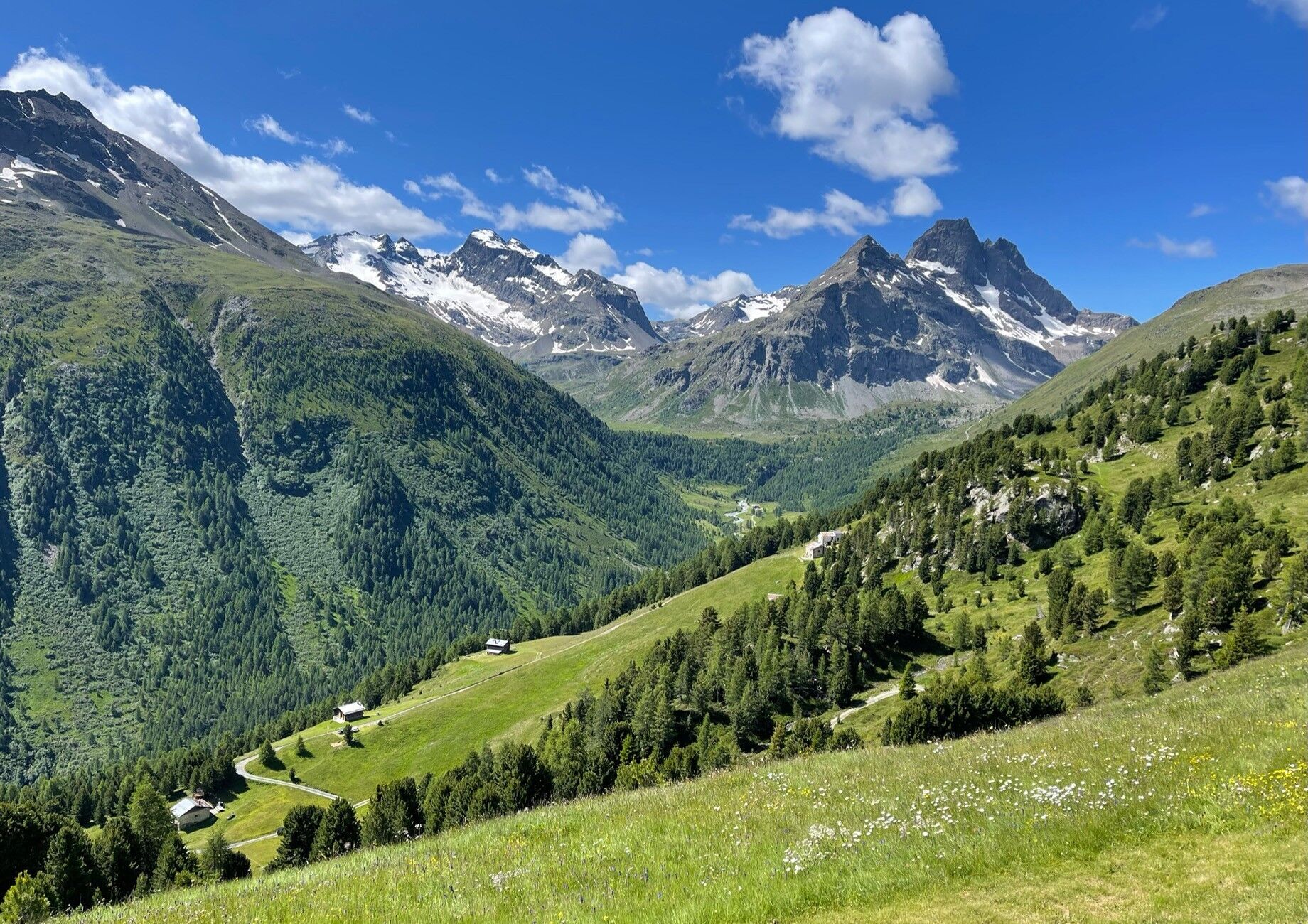
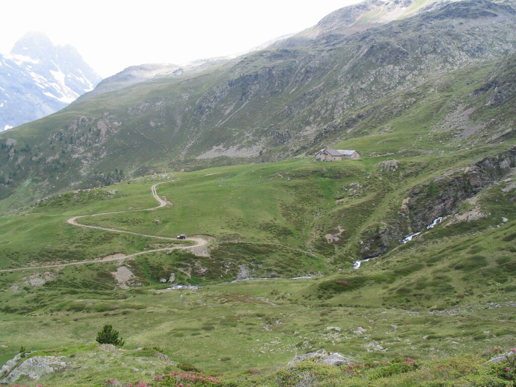
Opposite the Hotel Viola, in Arnoga in Valdidentro, take path N148 and after two turns uphill you reach Baite Cagnol, a typical rural settlement. The path continues uphill, first through a forest and then through pastures, offering excellent views of the surrounding mountains: San Colombano, Cima Piazzi, Corno Sinigaglia, Corno Dosde' and Cima Viola. At the crossroads in the village of Soleir, ascend an unmarked sheep track that leads close to the village of Sattarona, where you can enjoy breathtaking views over the valley and towards the Val Verva. From here continue along path N128 via Stagimei and start descending through pastures and meadows. Return on path N290, the main bridleway for Val Viola and Arnoga, the home of the Dog Sledding Centre. There are guided snowshoe tours on this route in winter.

Eita - Casaurel - Falck - Pond - Eita
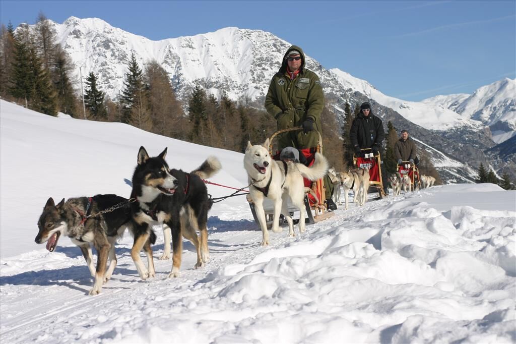
Dog sledding in Alta Valtellina. Dog sledding has been offered in Alta Valtellina since December 2002. The Arnoga Dog Sledding Centre organises courses and excursions, both in winter with dog sleds and in summer with dogs pulling carts.

Popularne wycieczki w okolicy
- 5,0
Mountain hike to Lagh da Saoseo
ciężkiWędrówka 15,0 km - 5,0
Lagalb - Val Minor - Motta Bianca - Lagalb
średniWędrówka 9,80 km - 5,0
Ospizio Bernina Station - Alp Grüm (-Cavaglia)
światłoWędrówka 4,97 km - 5,0
Crap da la Pare' with Joëlette
światłoWędrówka 4,58 km - 4,5
Lago Bianco
Wędrówka 7,91 km - 5,0
Val Nera Waterfalls
światłoWędrówka 5,70 km - 4,2
Val Federia Livigno
średniE-Bike 26,5 km - 4,5
Da Sfazù a lago Saoseo
światłoWędrówka 11,0 km Mount of Mines
średniWycieczka narciarska 4,78 kmVal da Camp (724)
średniWędrówka 5,33 km
Wędrówki i tropienie


Nie przegap ofert i inspiracji na następne wakacje
Twój adres e-mail została dodana do listy mailingowej.





