






Loop of Lake Gera and Rifugio Bignami


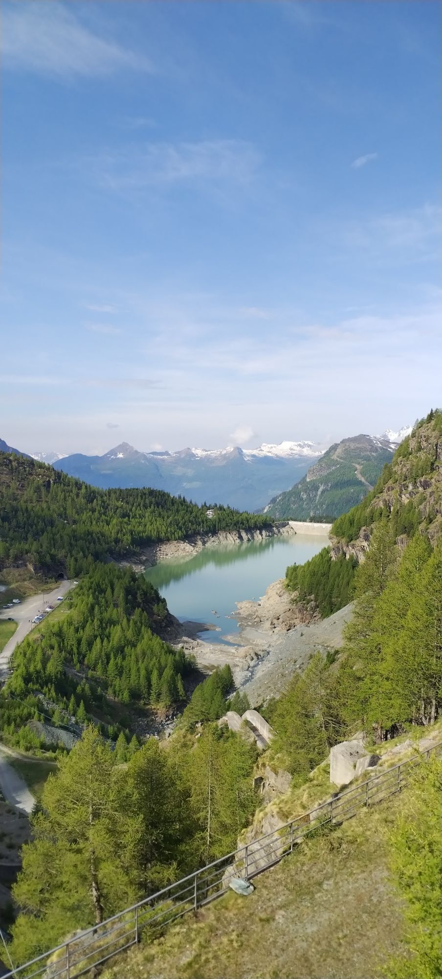
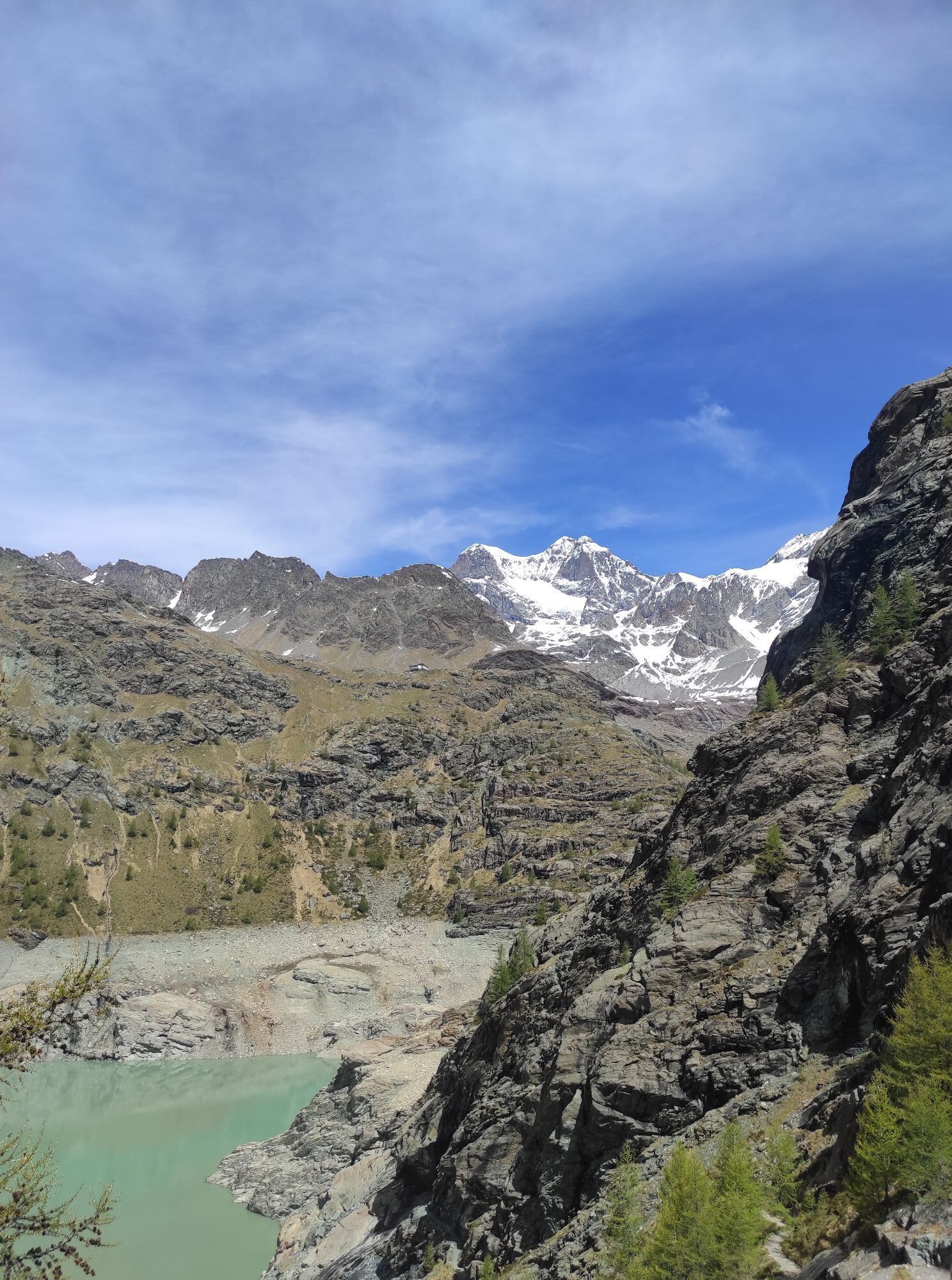
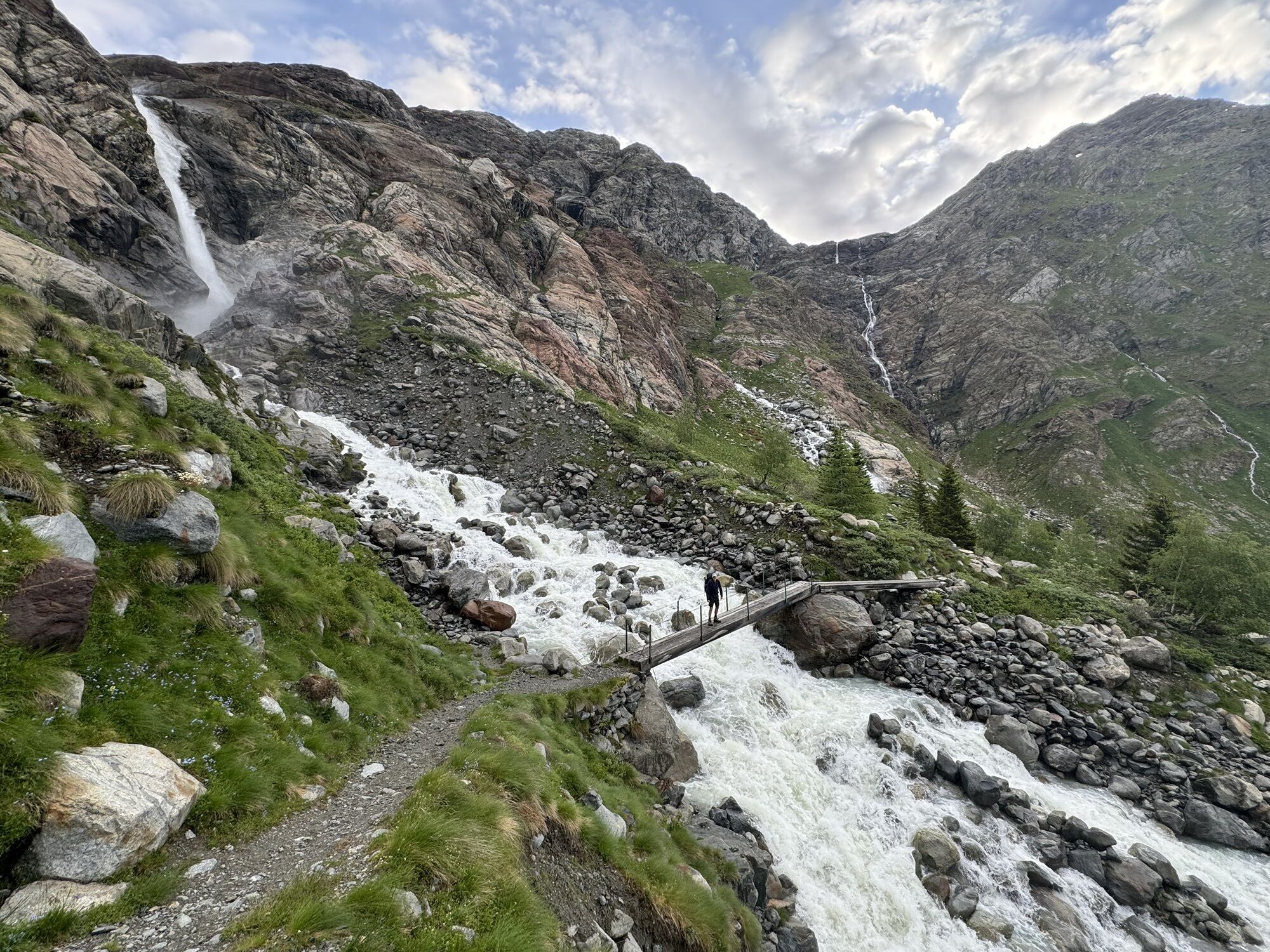
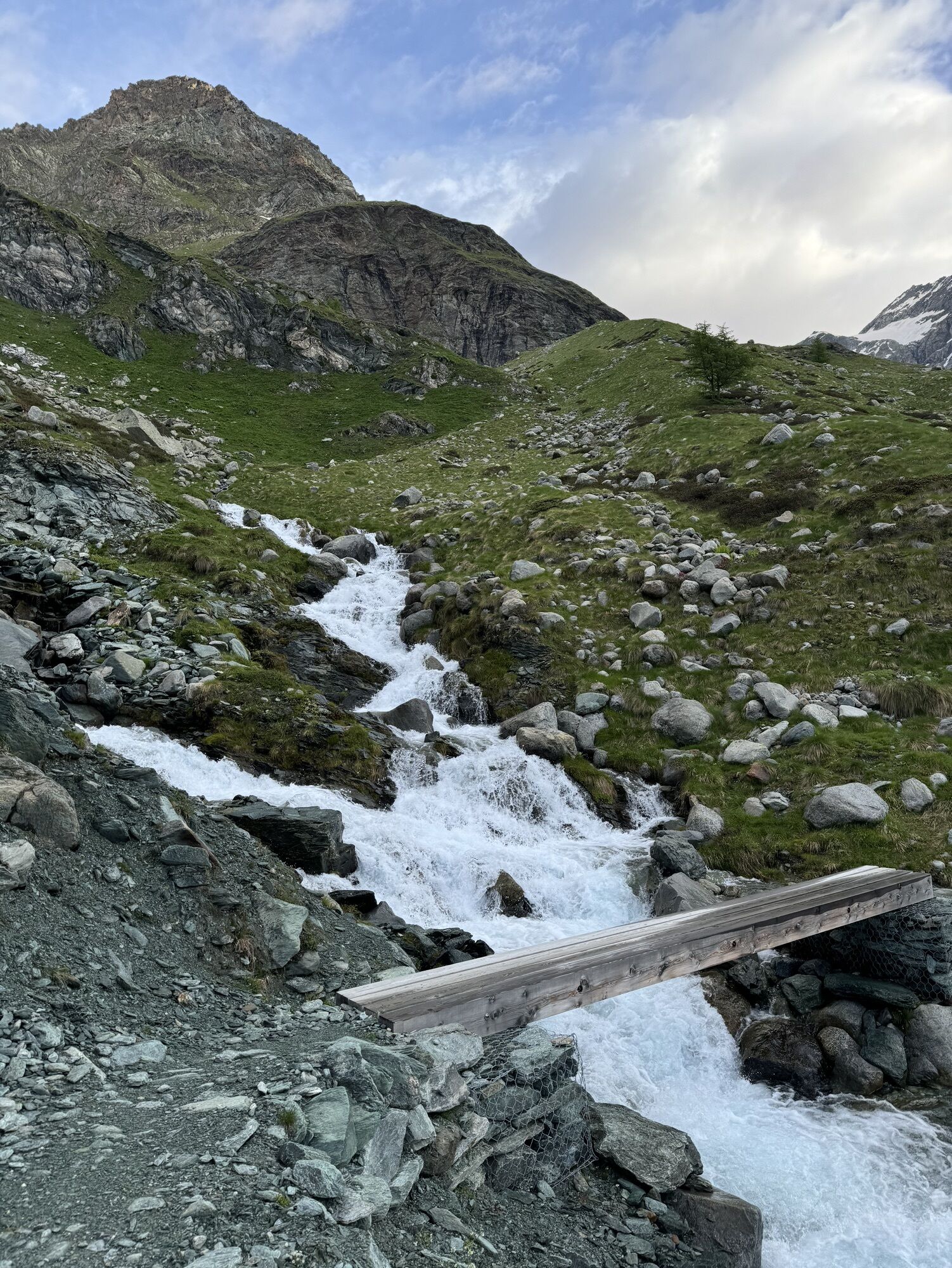
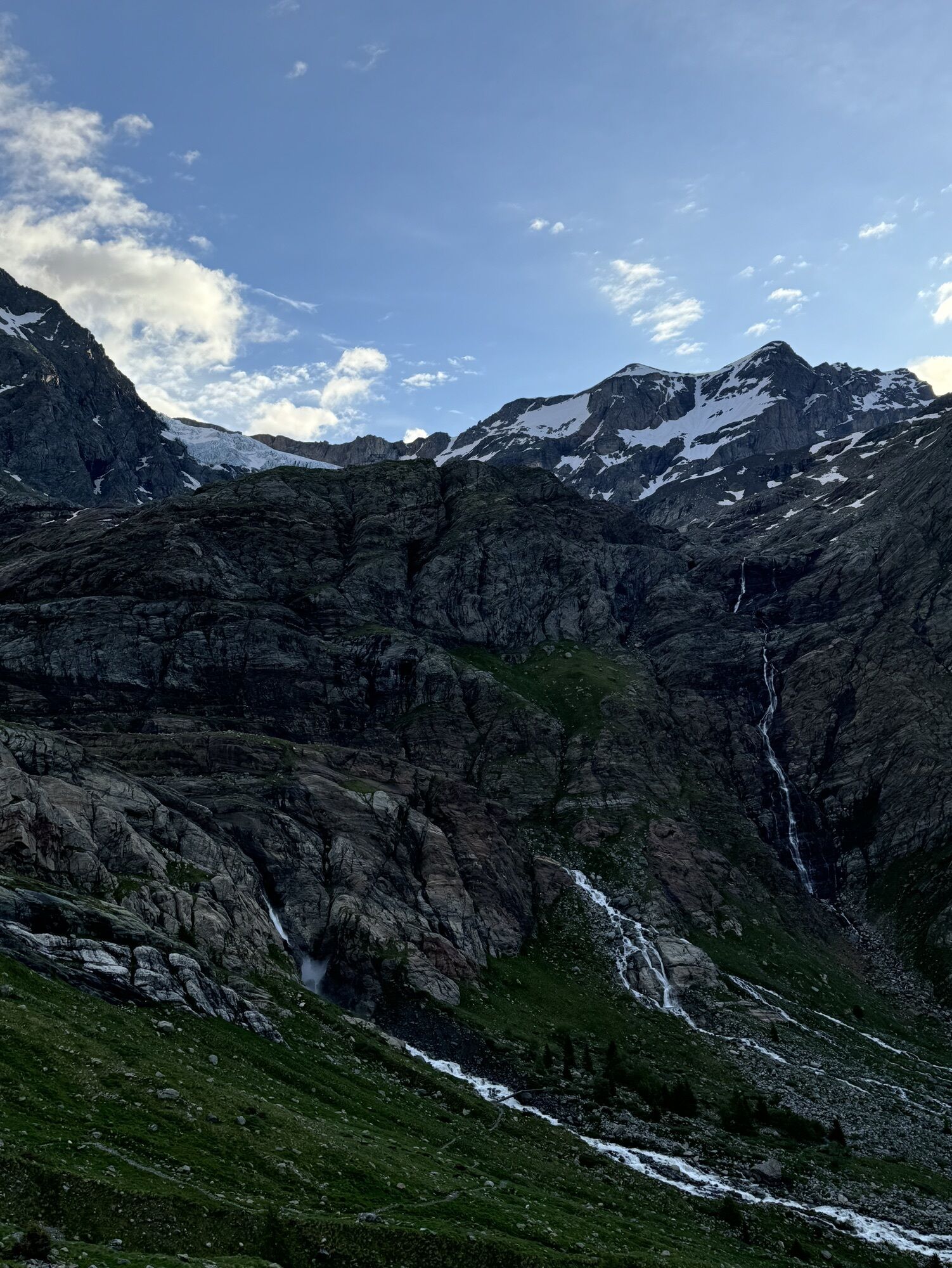
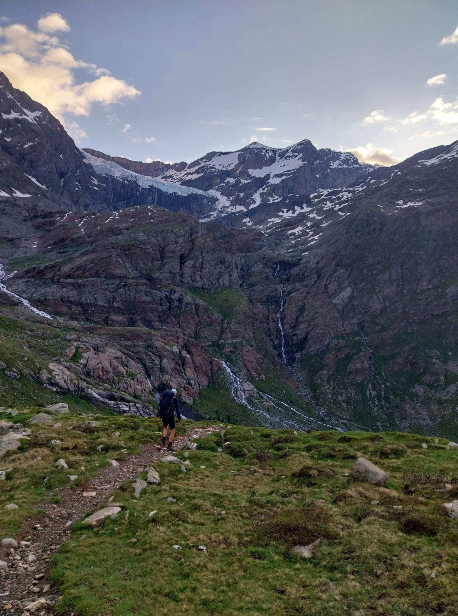
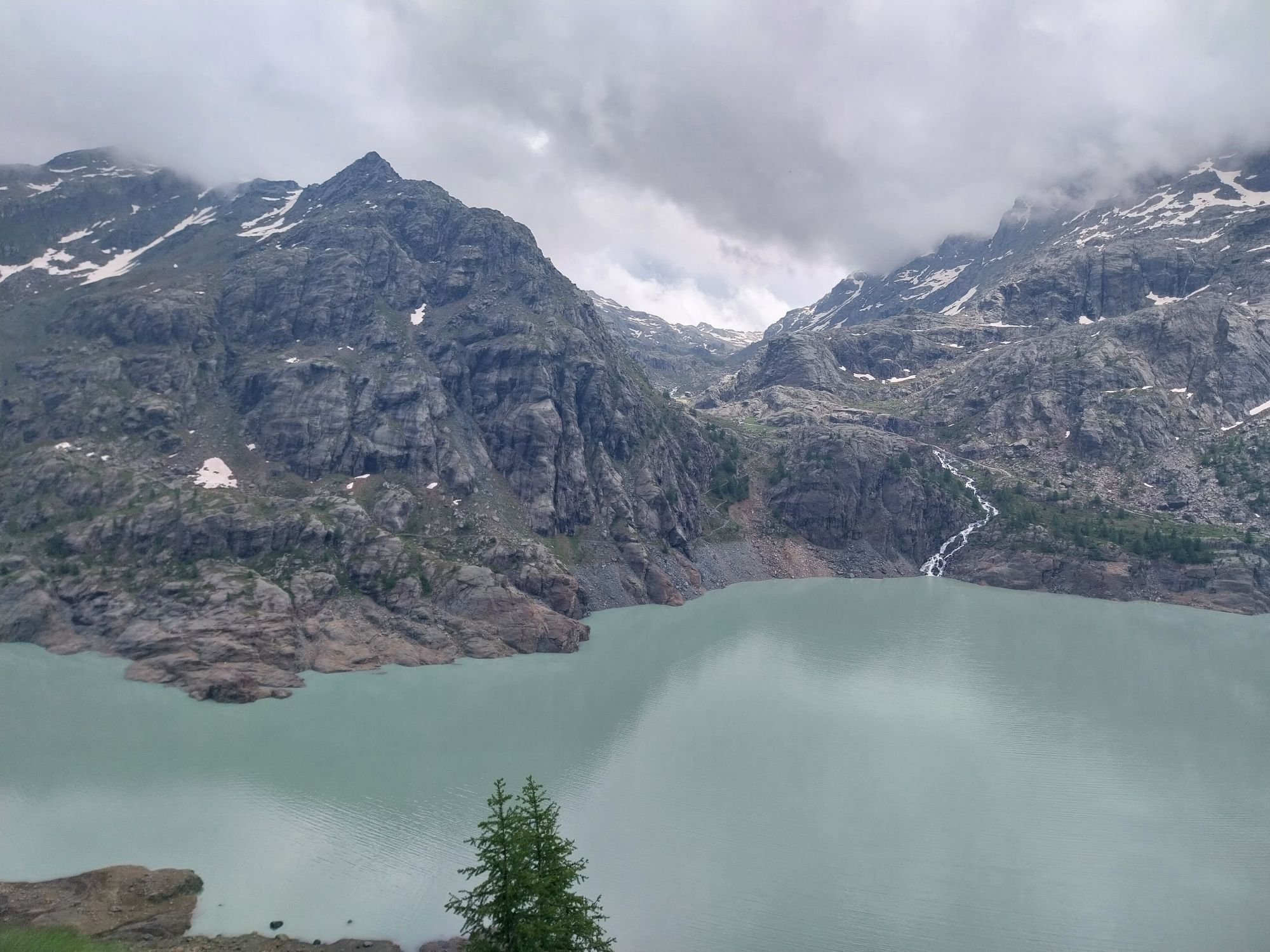
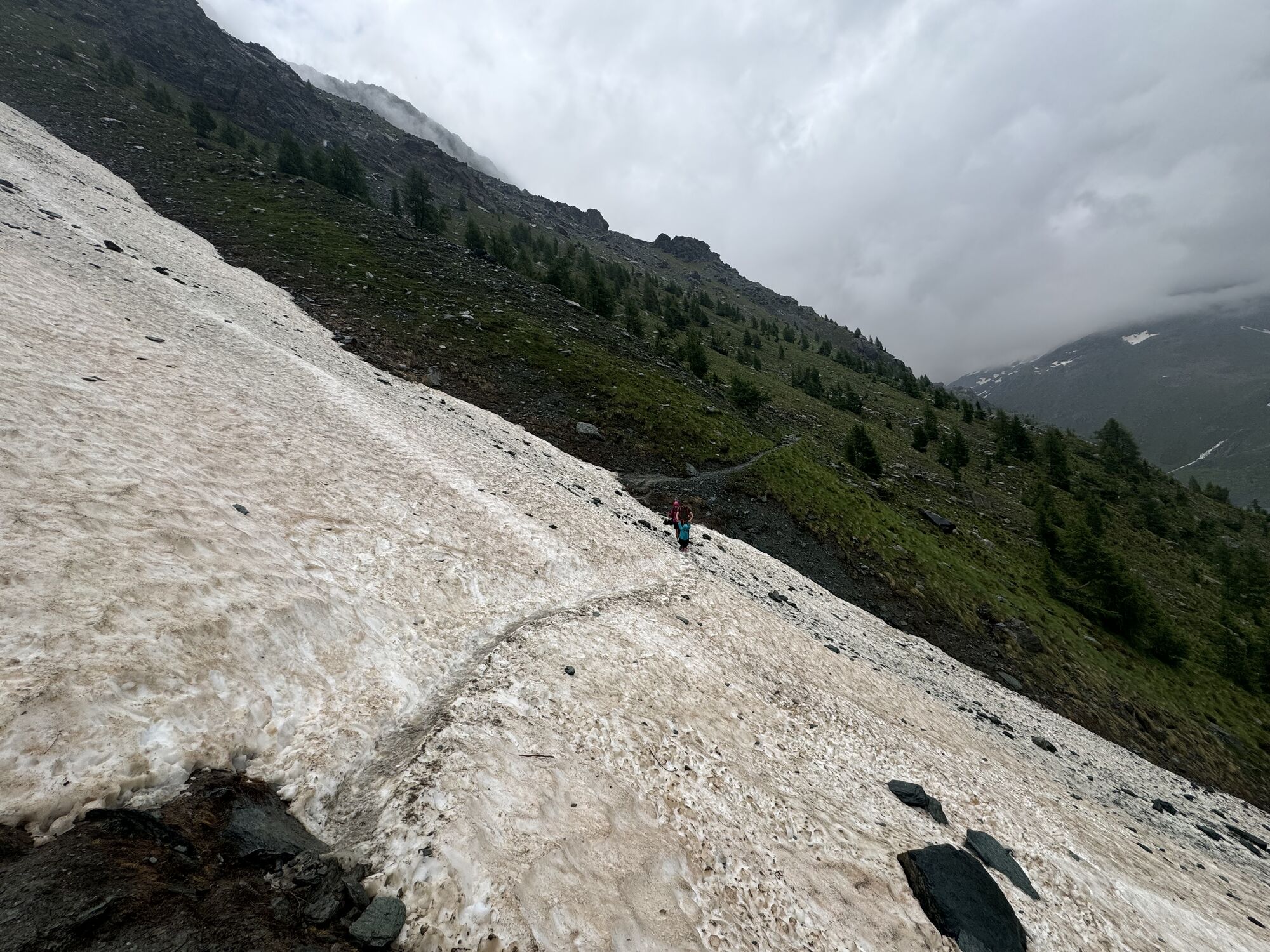
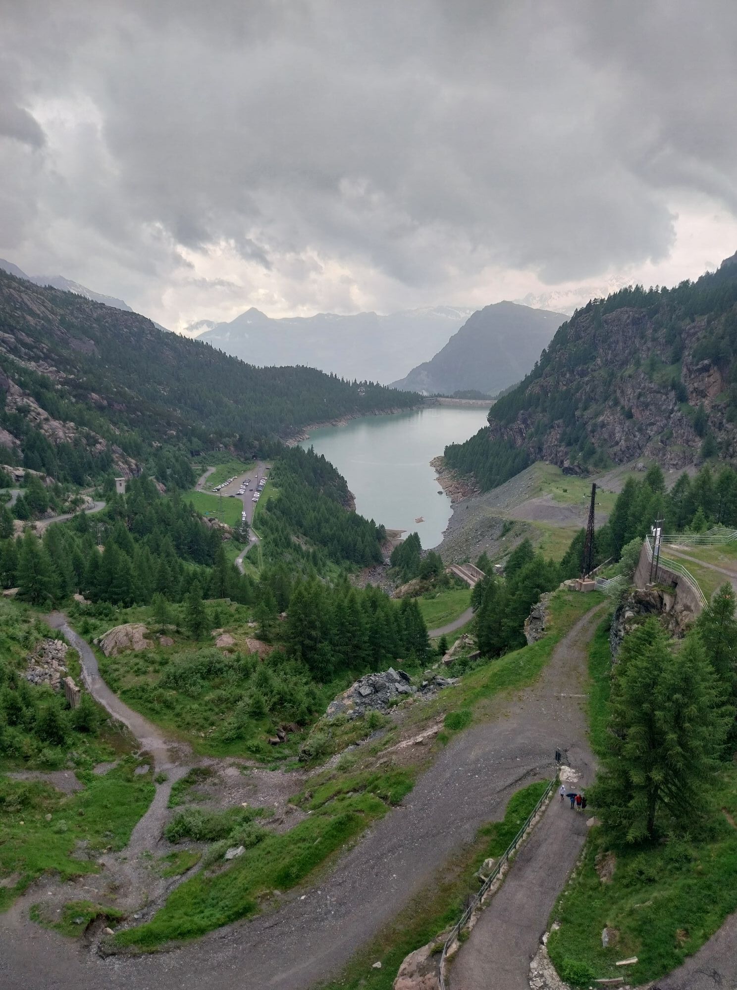
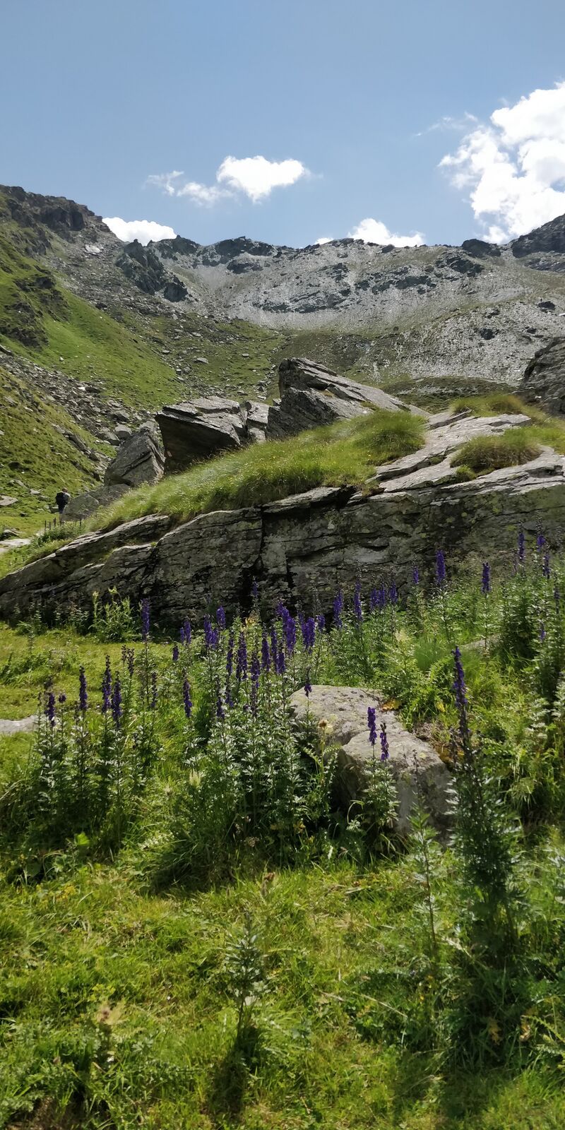
Leave the car below the dam wall and then continue on foot. Cross the dam wall and then follow the obvious path leading to Rifugio Bignami. From here, you can take a small detour to reach the huts of the...
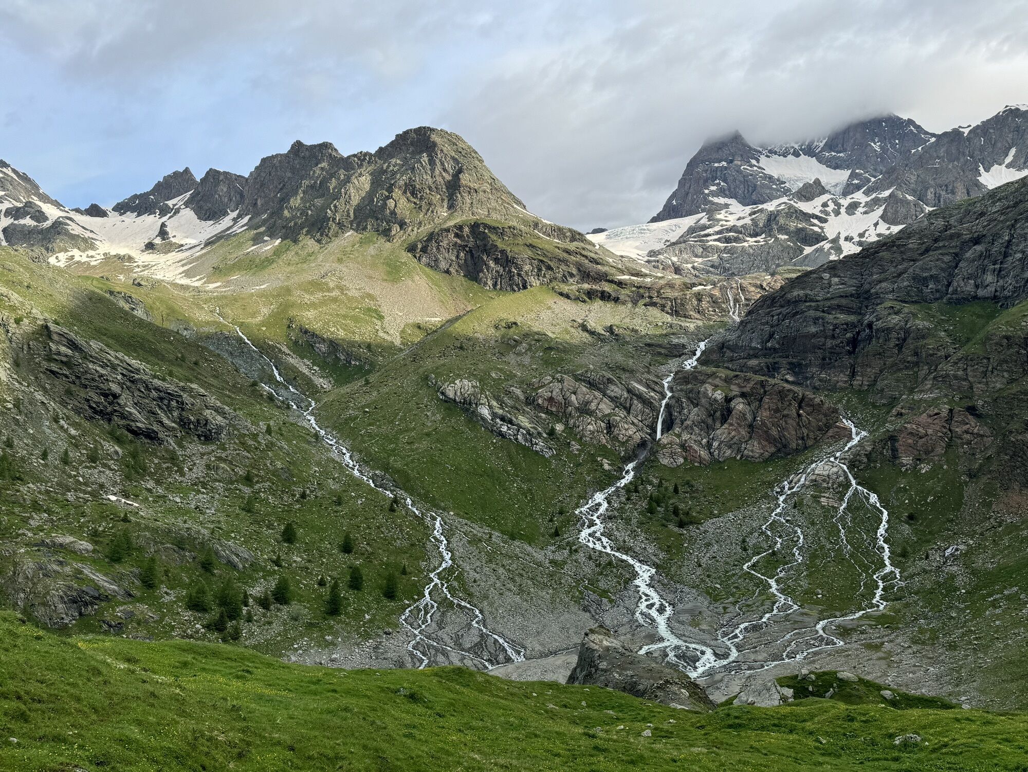
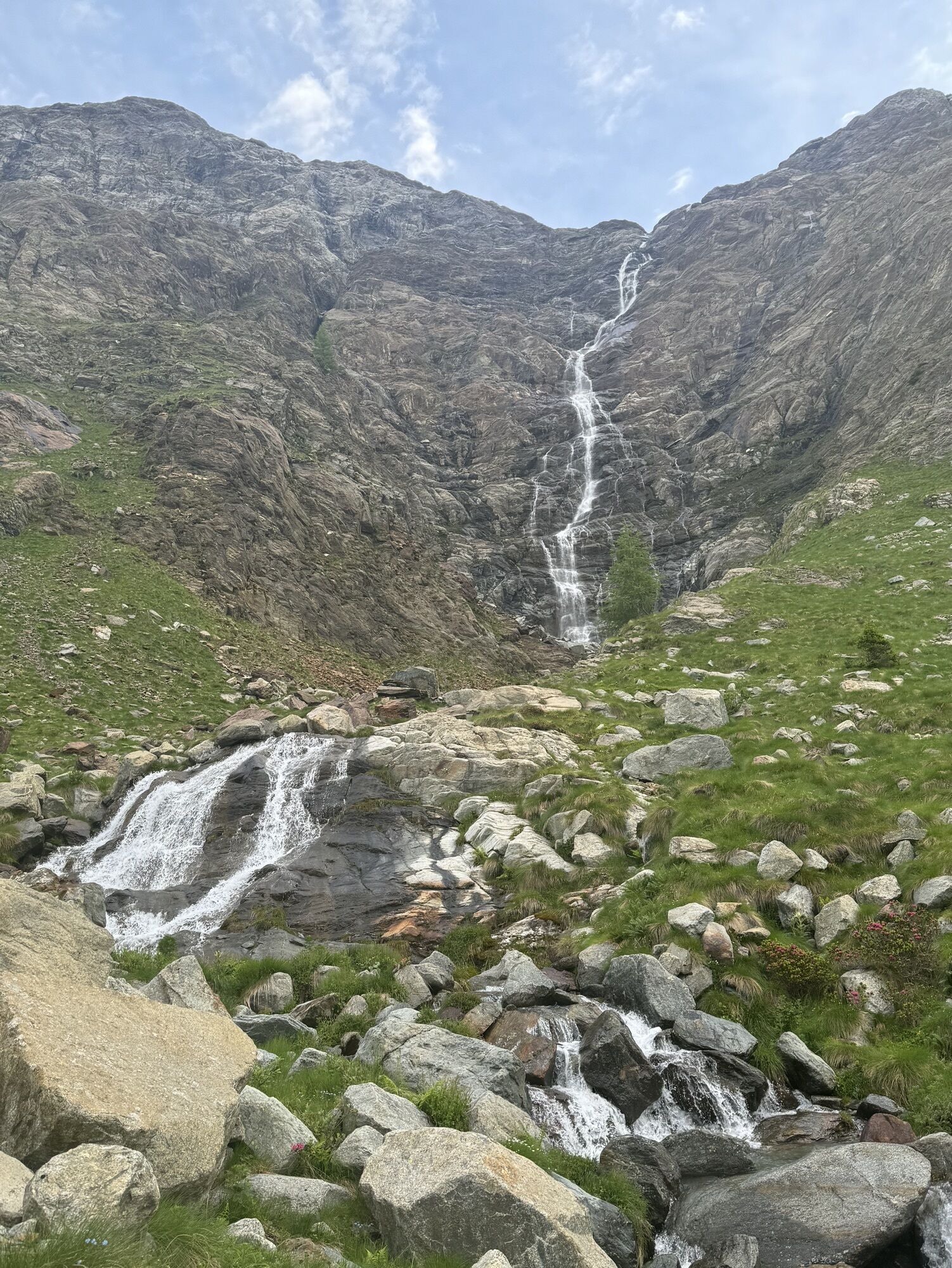
Leave the car below the dam wall and then continue on foot. Cross the dam wall and then follow the obvious path leading to Rifugio Bignami. From here, you can take a small detour to reach the huts of the Fellaria Alp, otherwise continue along the circular route. After the refuge, the path steeply descends and quickly crosses the channels formed by the Fellaria Glacier. Continuing through a short up and down, the Alpe Gembre is reached. The route continues with a slight descent before a climb of about 100 meters elevation gain leading to the entrance of Val Poschiavina. From here, continue always downhill to close the loop.

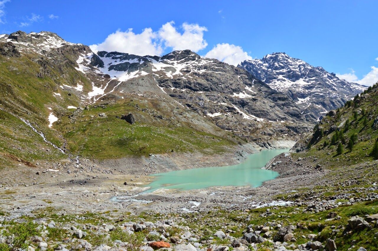
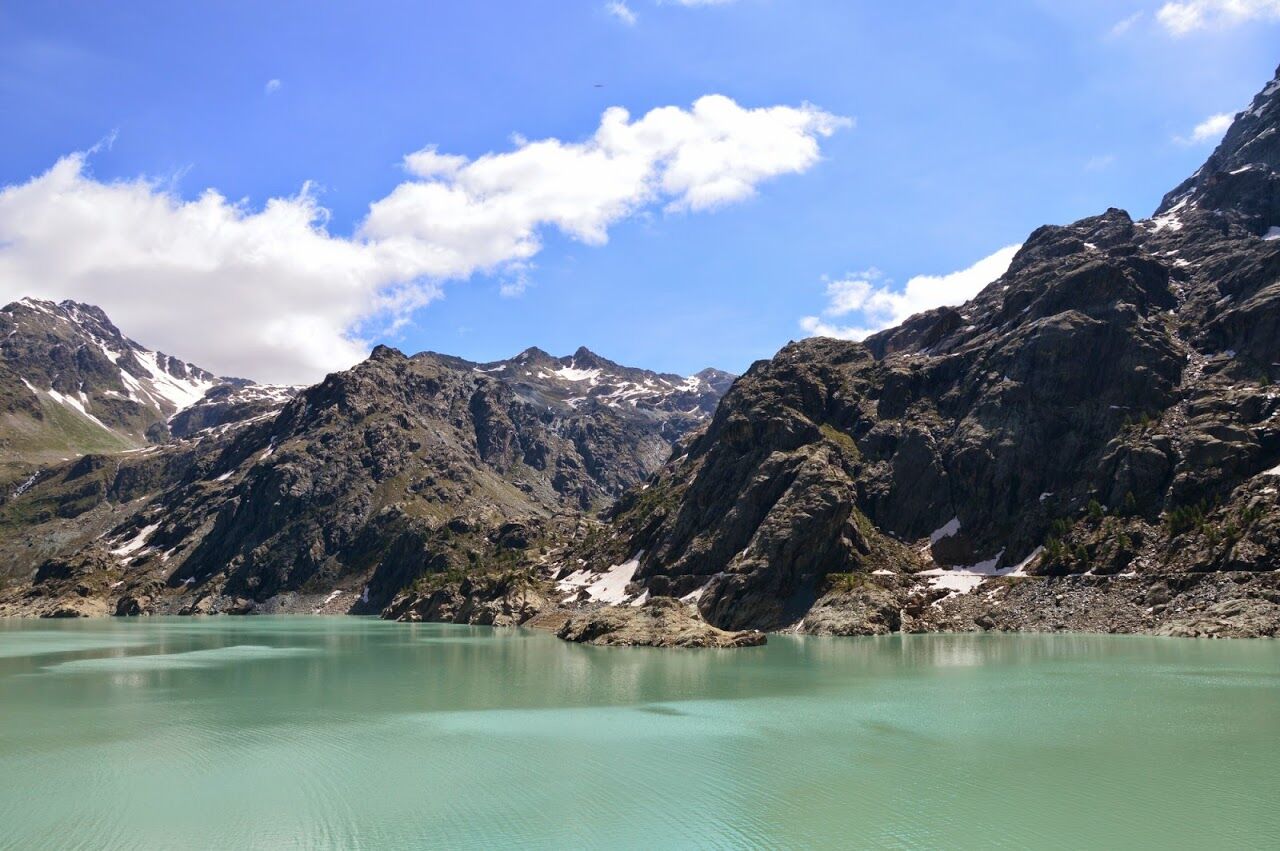
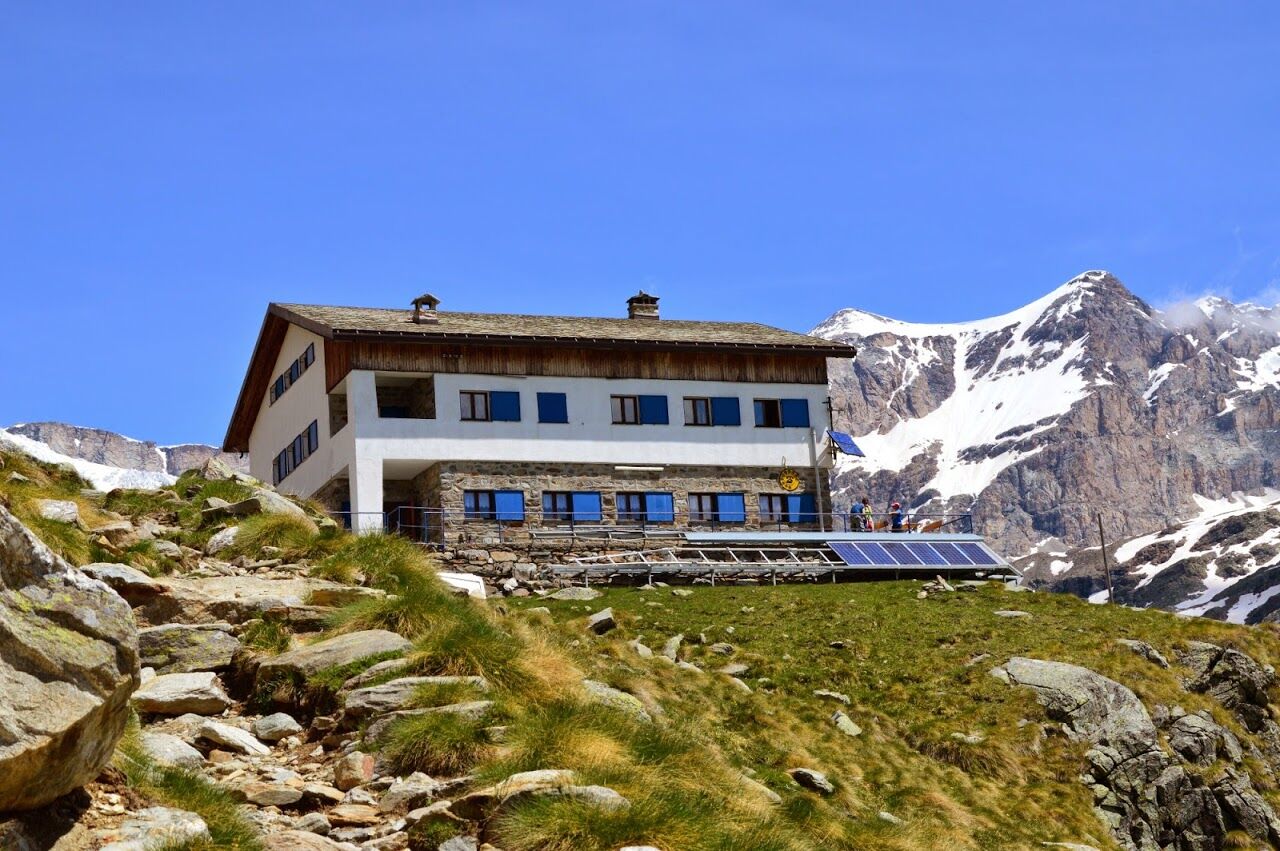
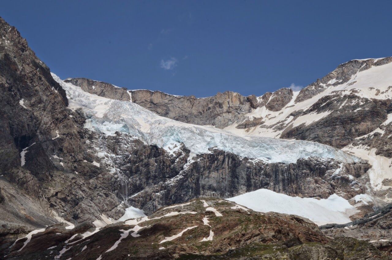
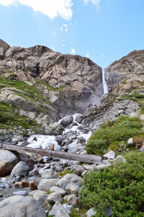
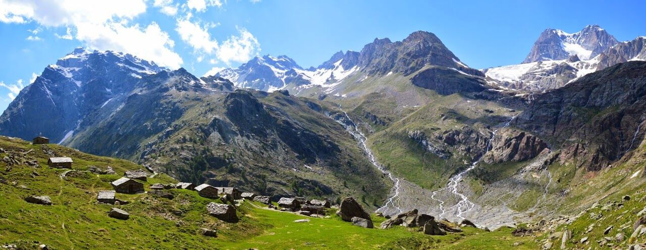

The grandeur of the Fellaria Glacier and the mountains surrounding it.


Popularne wycieczki w okolicy
-
5,0
Morteratsch station - Boval Hut
średniWędrówka 10,5 km -
4,7
Diavolezza - Munt Pers
światłoWycieczki górskie 3,82 km -
4,8
Morteratsch Glacier route
światłoTrasa tematyczna 2,88 km -
4,5
Pontresina - Val Roseg - Pontresina
światłoWędrówka 13,8 km -
4,8
SAC Tschierva
światłoWędrówka 24,7 km -
4,8
Lagalb - Val Minor - Motta Bianca - Lagalb
średniWędrówka 9,80 km -
4,4
Piz Palü (3.905m) – Hochtour
średniWycieczka wysokogórska 13,4 km -
4,5
Diavolezza - Lej da Diavolezza
średniWędrówka 6,22 km -
4,8
Val Roseg - Tschierva Hut
średniWędrówka 5,12 km -
4,0
Mittelstation Murtèl – Fuorcla Surlej – Val Roseg – Pontresina
średniWędrówka 23,5 km
Wędrówki i tropienie


Nie przegap ofert i inspiracji na następne wakacje
Twój adres e-mail została dodana do listy mailingowej.





