







Plaghera

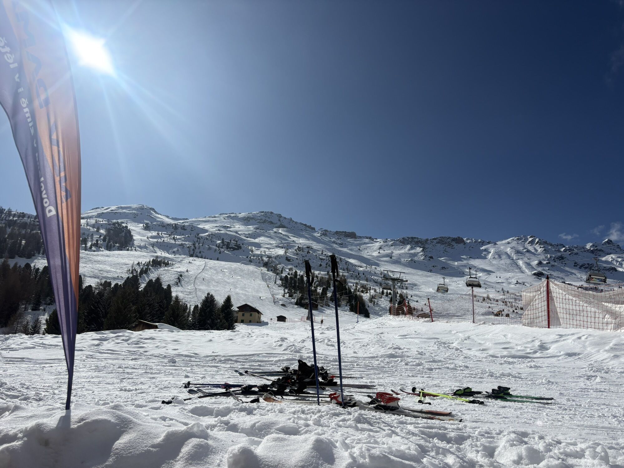
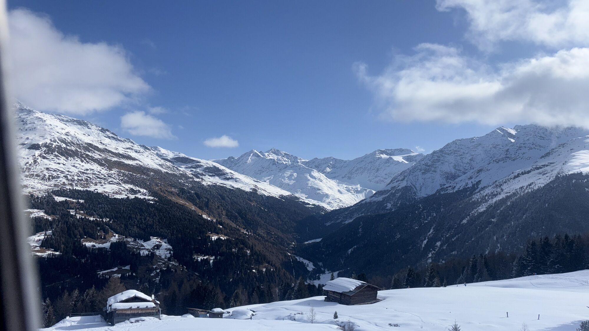
From Santa Caterina take the gondola to the mid station at Plaghera (2,120m above sea level). There is a discounted lift pass for ski tourers. From the mid station put your skis on (without skins) and...
From Santa Caterina take the gondola to the mid station at Plaghera (2,120m above sea level). There is a discounted lift pass for ski tourers. From the mid station put your skis on (without skins) and ski down the Cevedale slope, taking the deviation to the right that leads to the Ristoro sci 2000 mountain restaurant. Put your skins on and walk around the chair lift. The route heads up an ungroomed slope to Baite di Plaghera. From there join the road that leads to the Gavia Pass and follow it for three bends. Just before the barrier, take the path to the right and continue along it until you reach the slope. Remove your skins and ski down to Santa Caterina.

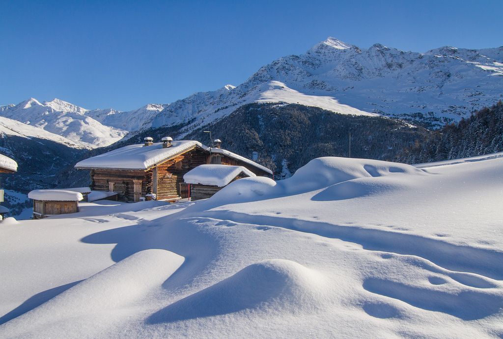

Fontanaccia, Pollore Huts, Pollore Point.
Center la Fonte Santa Caterina Valfurva

Popularne wycieczki w okolicy
- 3,9
Von Sulden zur Hinteren Schöntaufspitze
średniWędrówka 12,7 km - 3,7
Payerhütte 3020m
Wędrówka 6,98 km - 5,0
Ortler über Meraner Weg (vom Tal/Trafoi)
ciężkiWycieczka wysokogórska 11,9 km - 4,6
Stilfs - Stelvio - Madritschspitze - Cima Madriccio
ciężkiWędrówka 16,3 km - 4,5
Ortler – Normalweg
ciężkiWycieczka wysokogórska 7,30 km - 5,0
Ortler über Hintergrat
ciężkiWycieczka wysokogórska 8,03 km - 3,5
Watervallen wandeling
światłoWędrówka 4,95 km - 4,8
Wanderung: Heilige drei Brunnen zur Berglhütte
światłoWędrówka 5,51 km - 4,7
Suldenspitze
światłoWycieczka wysokogórska 7,69 km - 5,0
Pistenskitour zum Madritschjoch (3.123m)
światłoWycieczka narciarska 16,6 km
Wędrówki i tropienie


Nie przegap ofert i inspiracji na następne wakacje
Twój adres e-mail została dodana do listy mailingowej.





