







Colle delle Capre - Val Nera
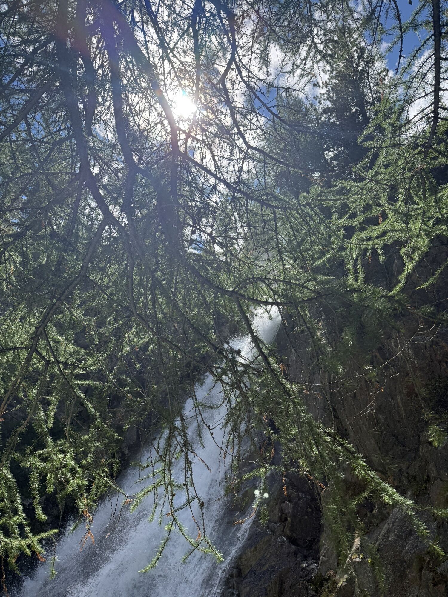
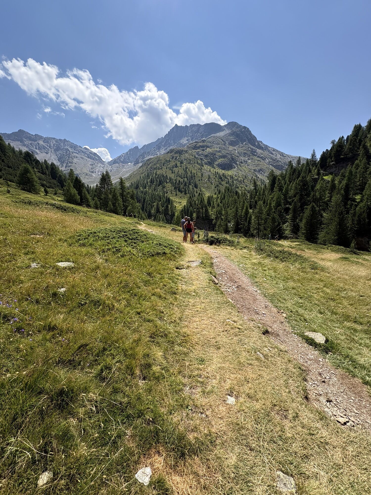
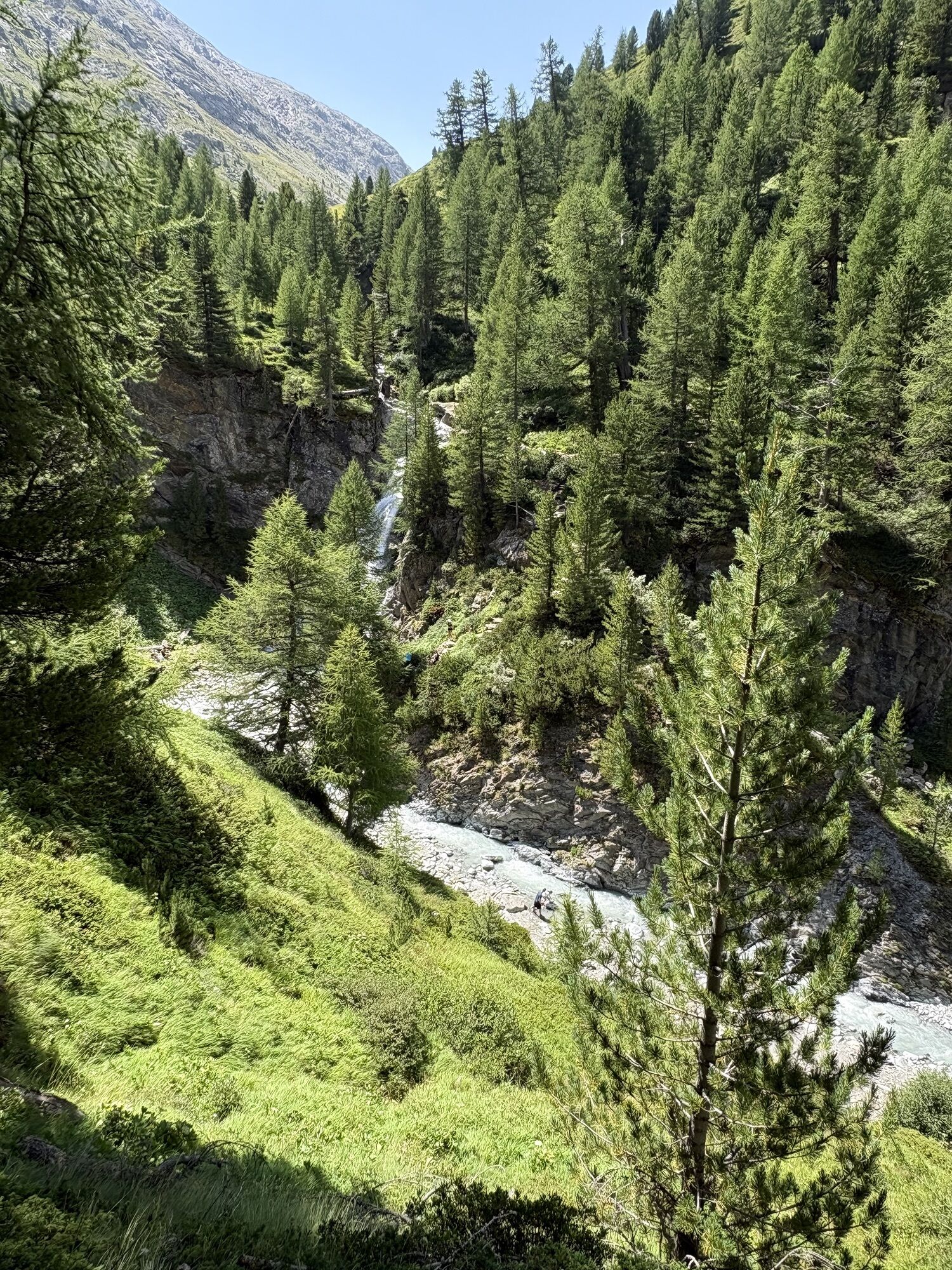
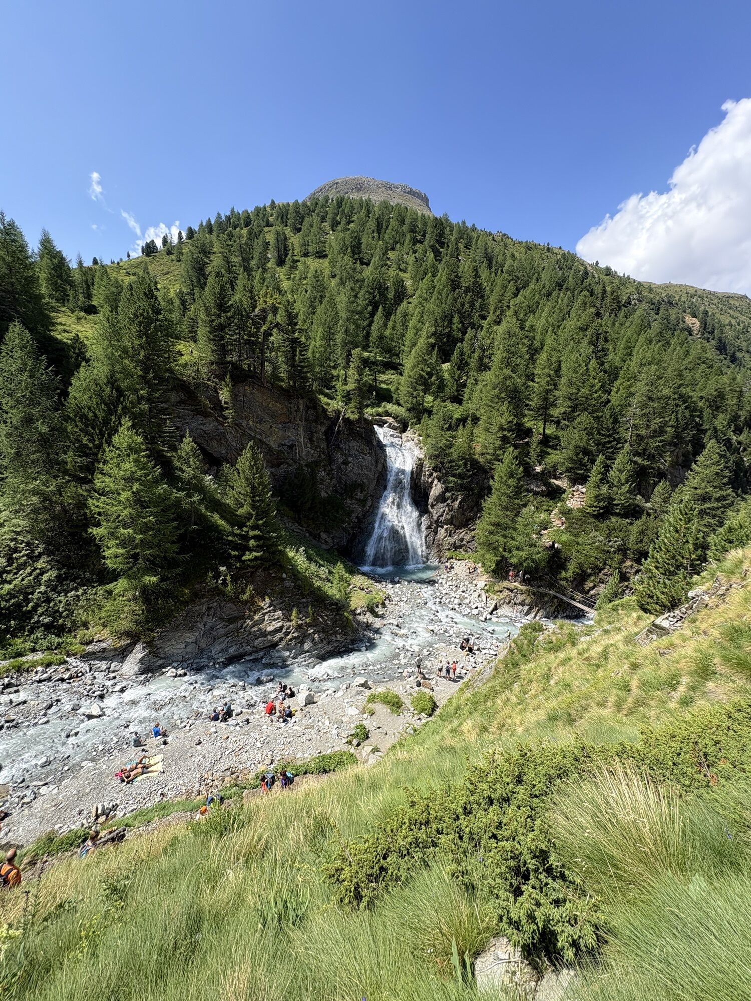
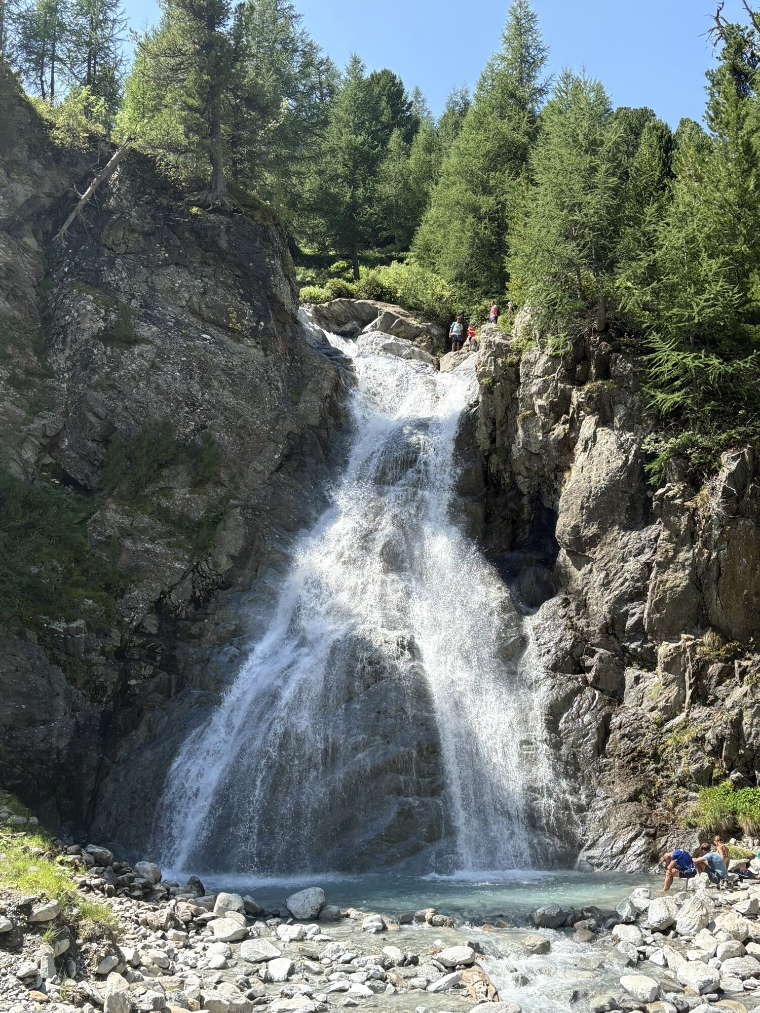
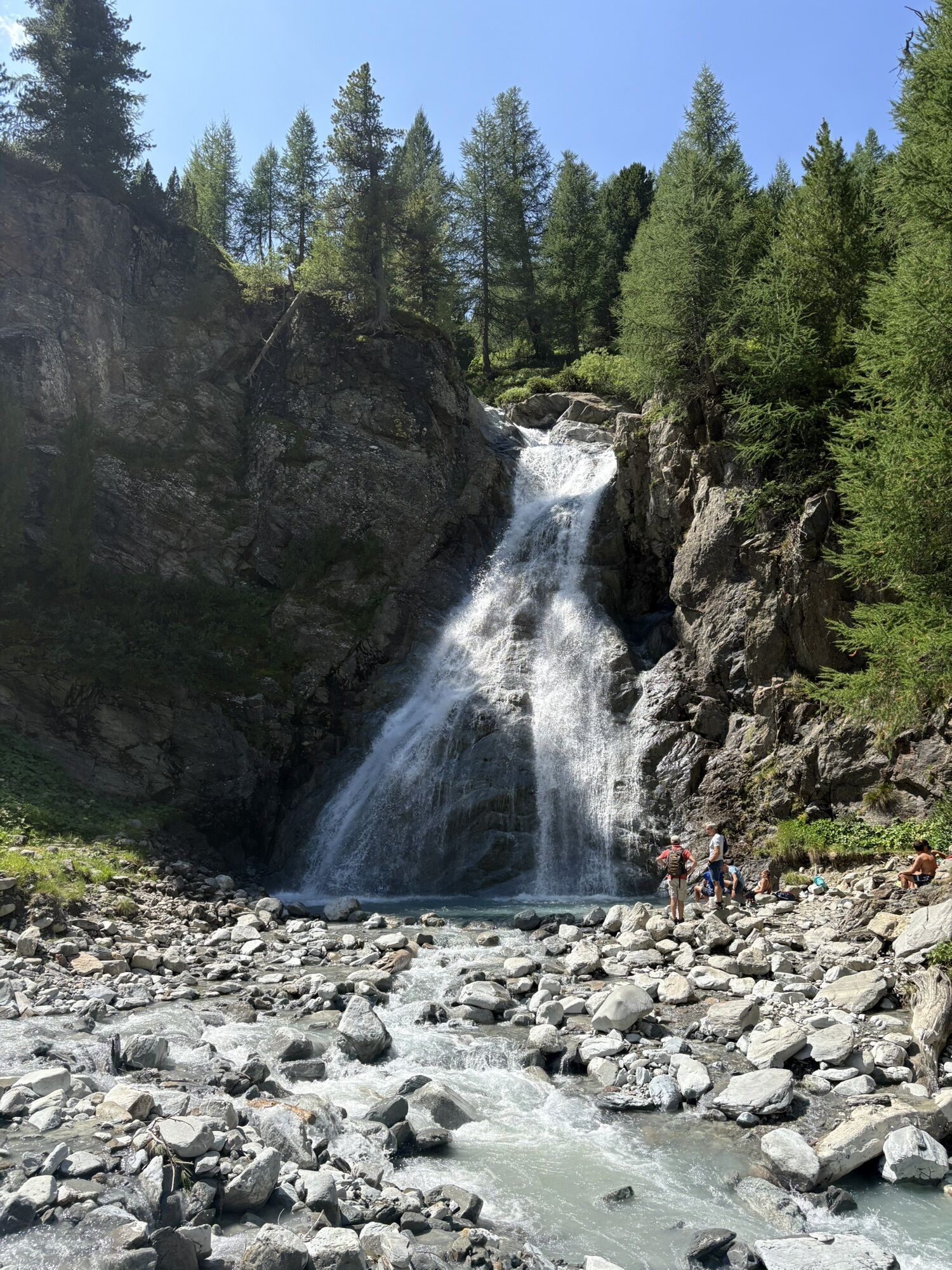
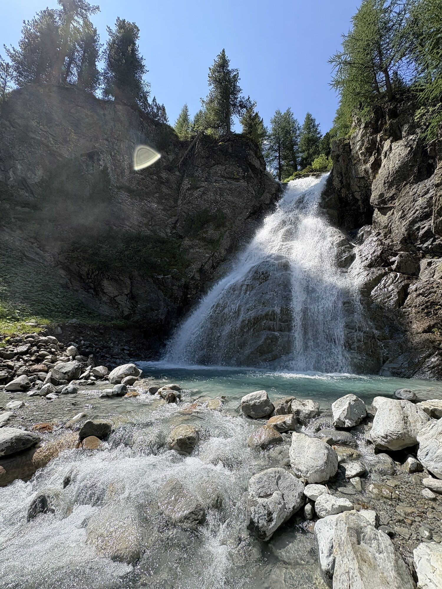
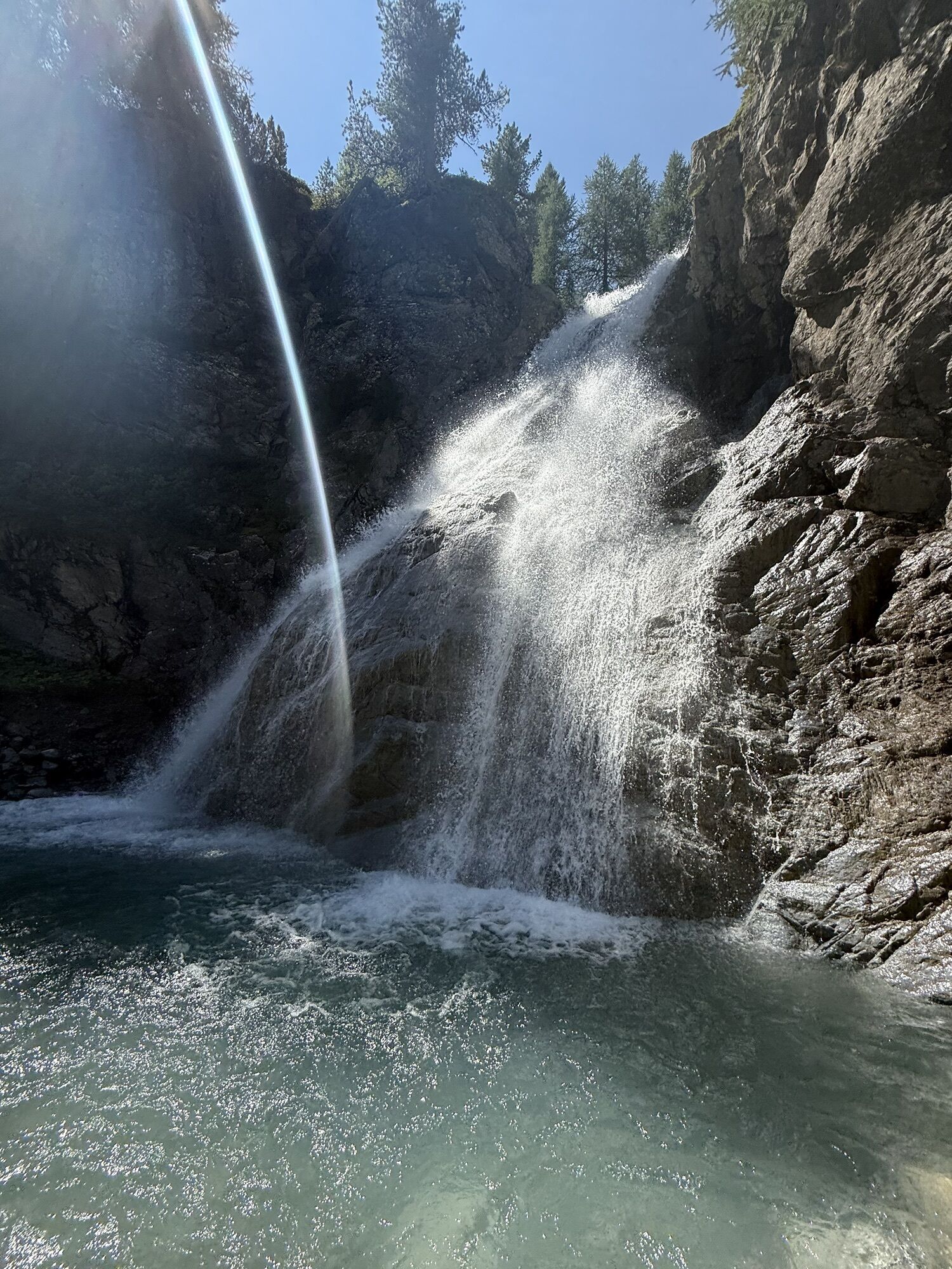
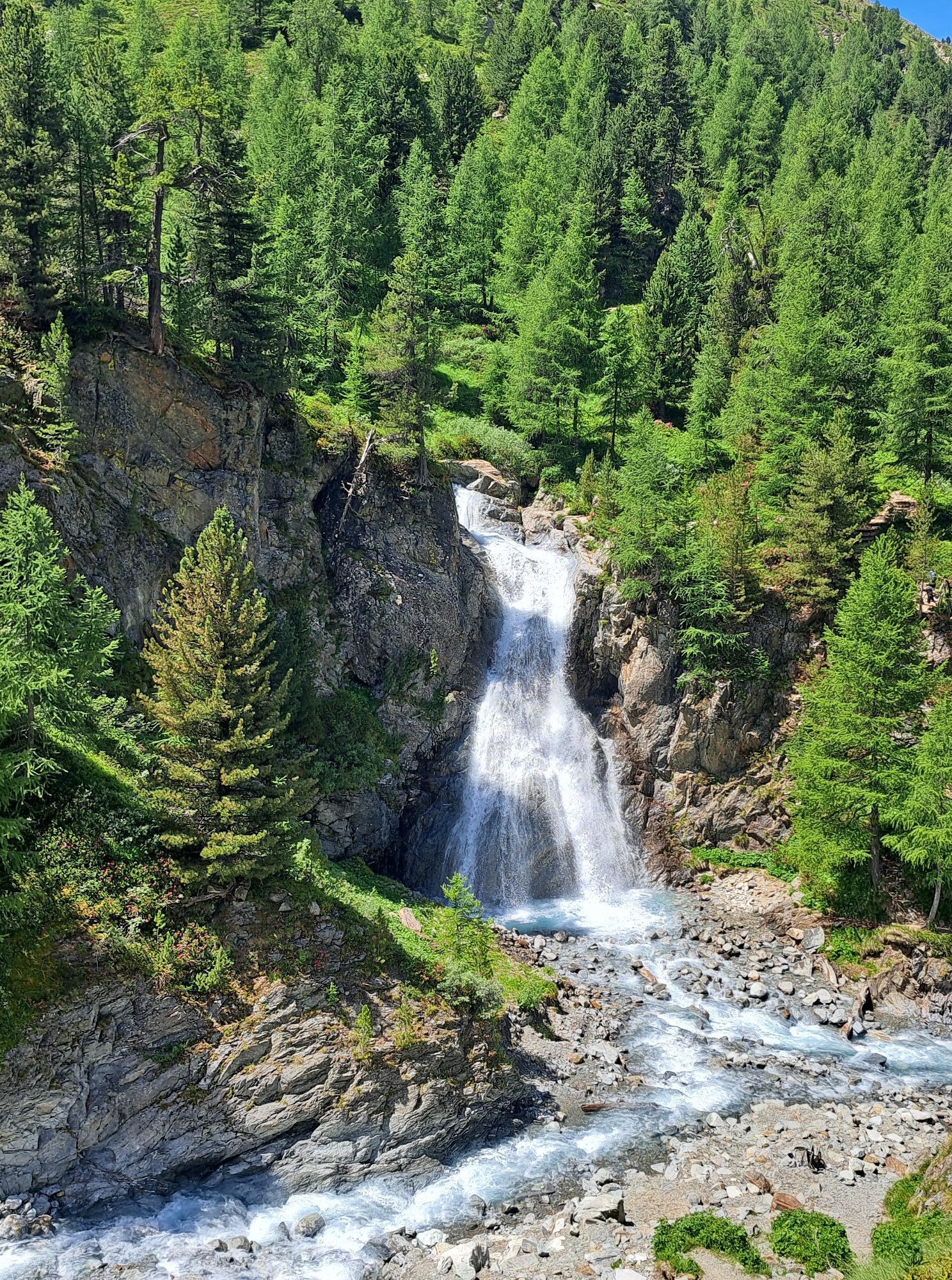
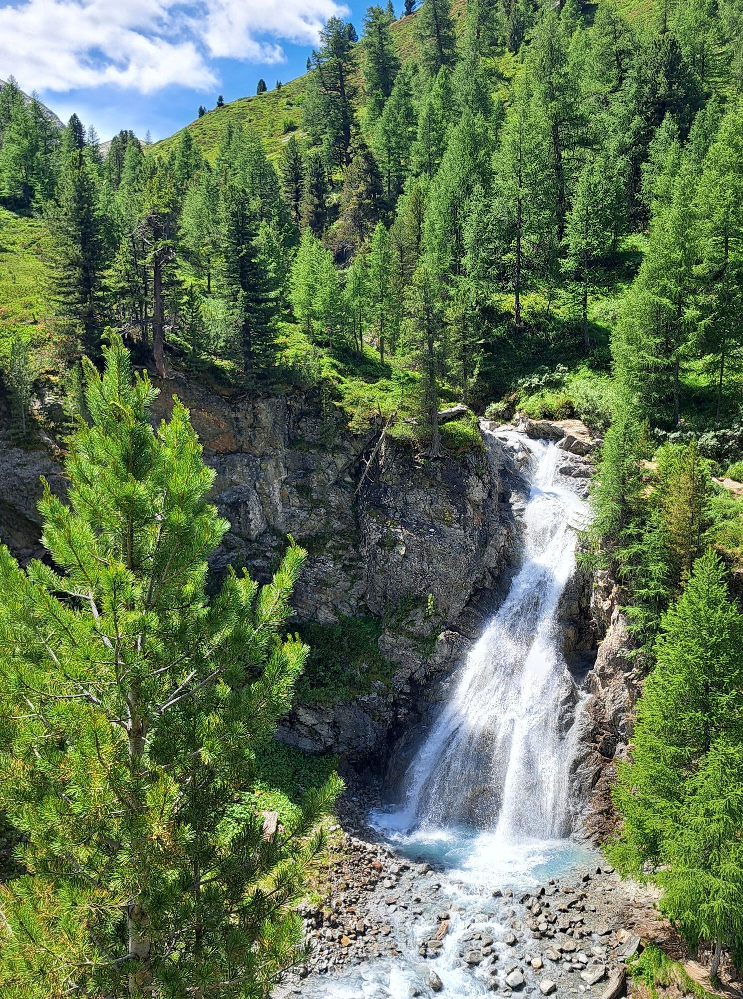
From Campacciolo in the vicinity of the Albergo Forcola follow the road to the bridge over the Spol stream, without crossing it go left along a short, slightly downhill stretch that leads to a wide plateau...
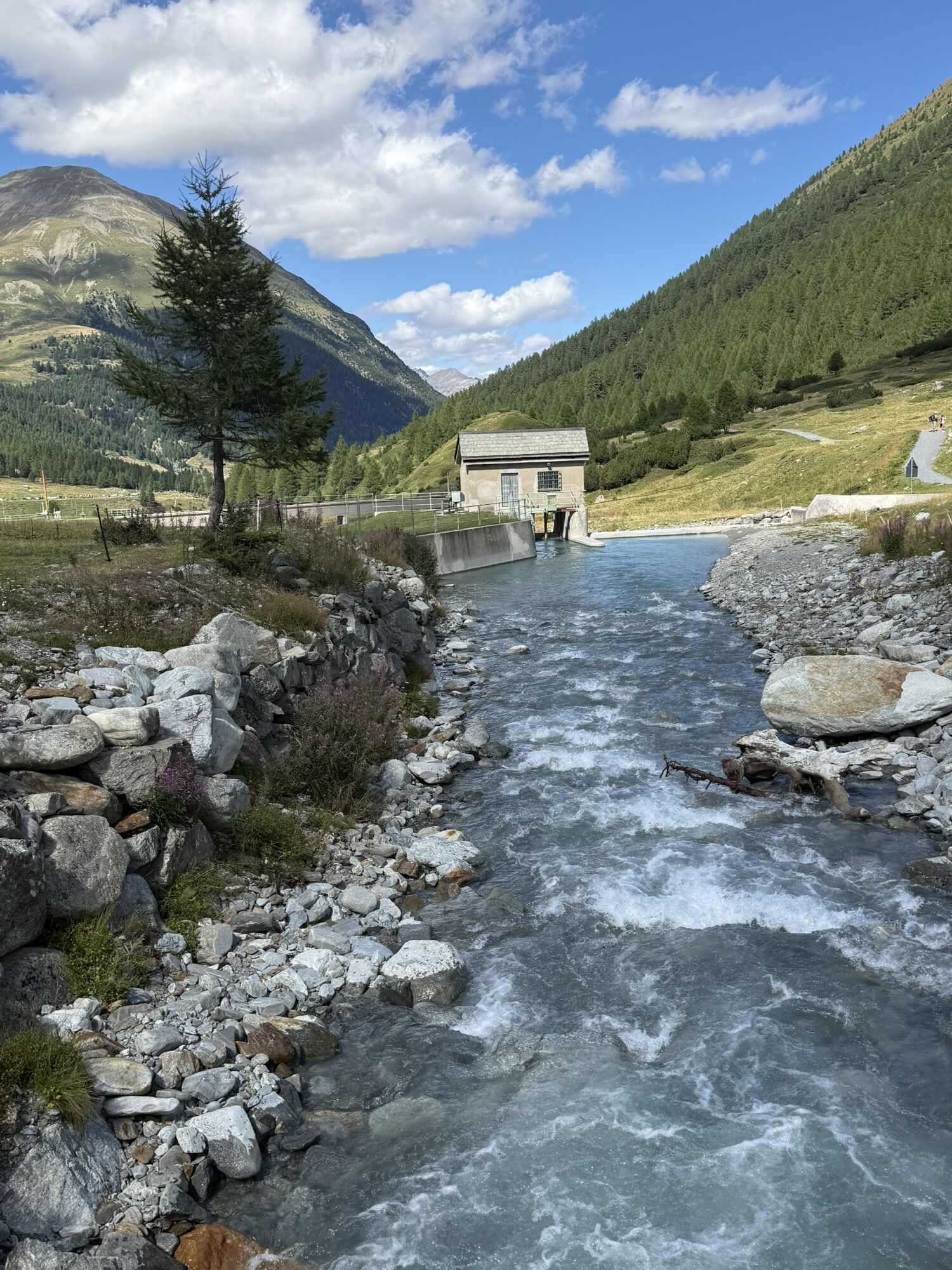
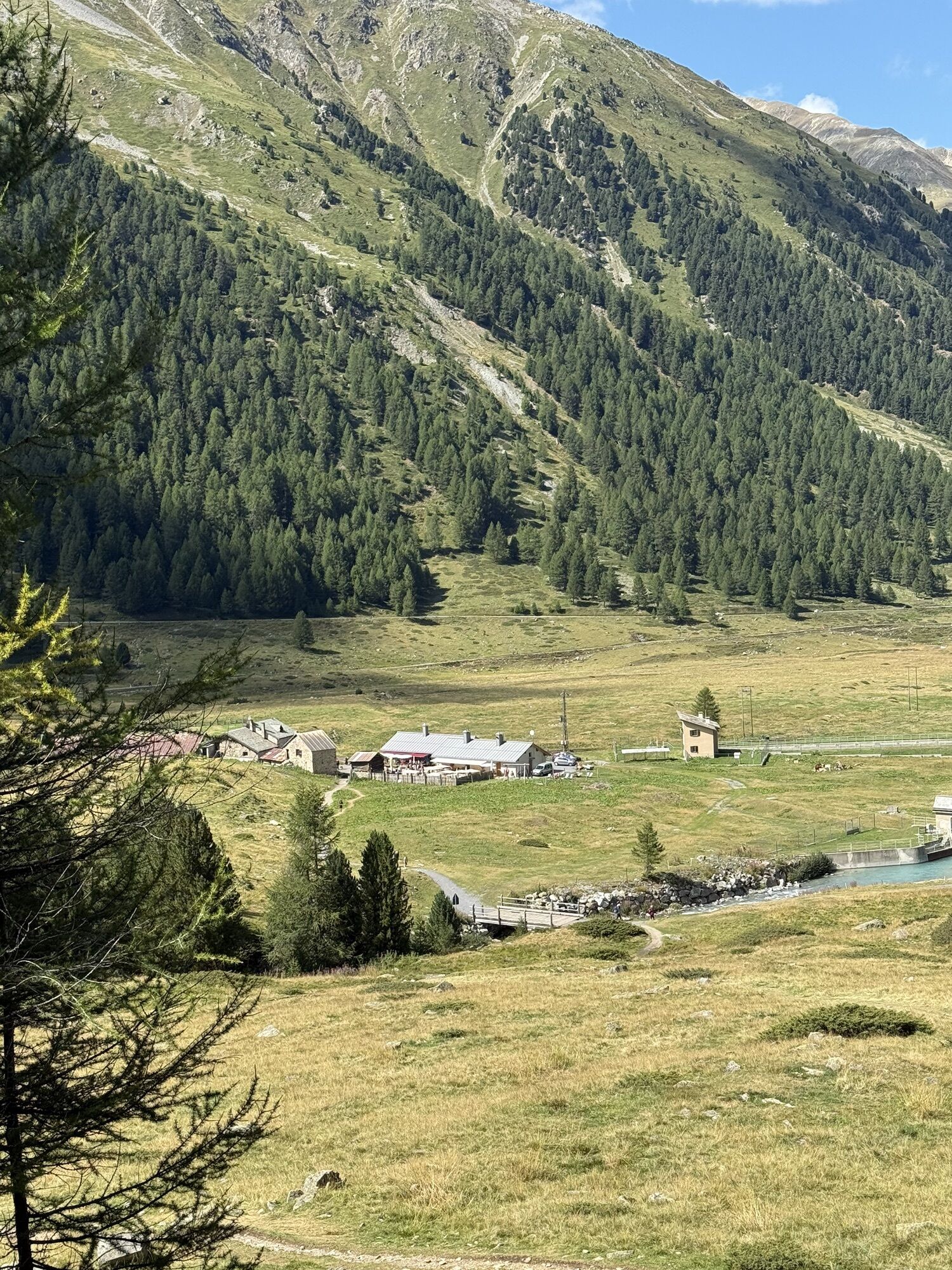
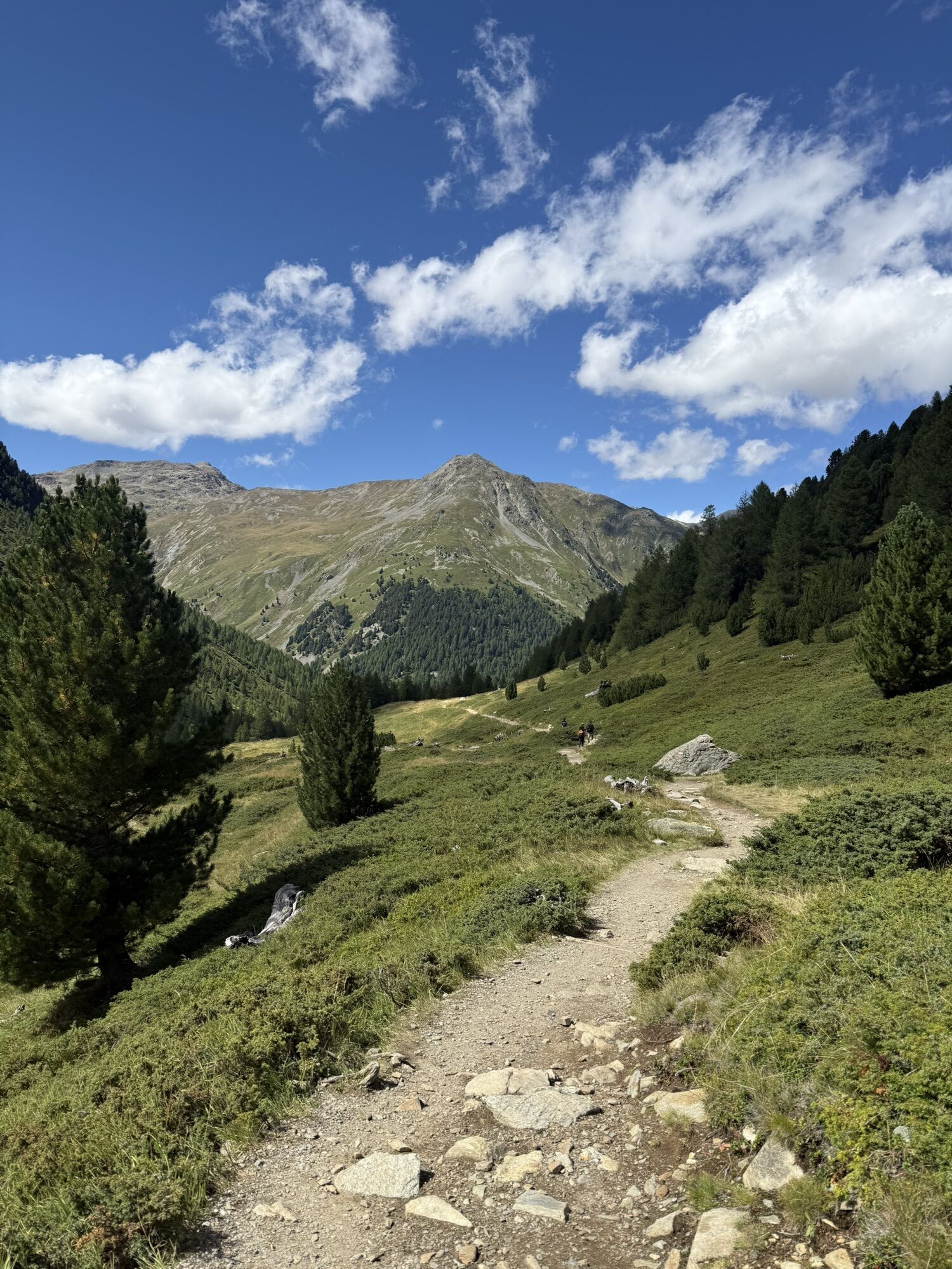
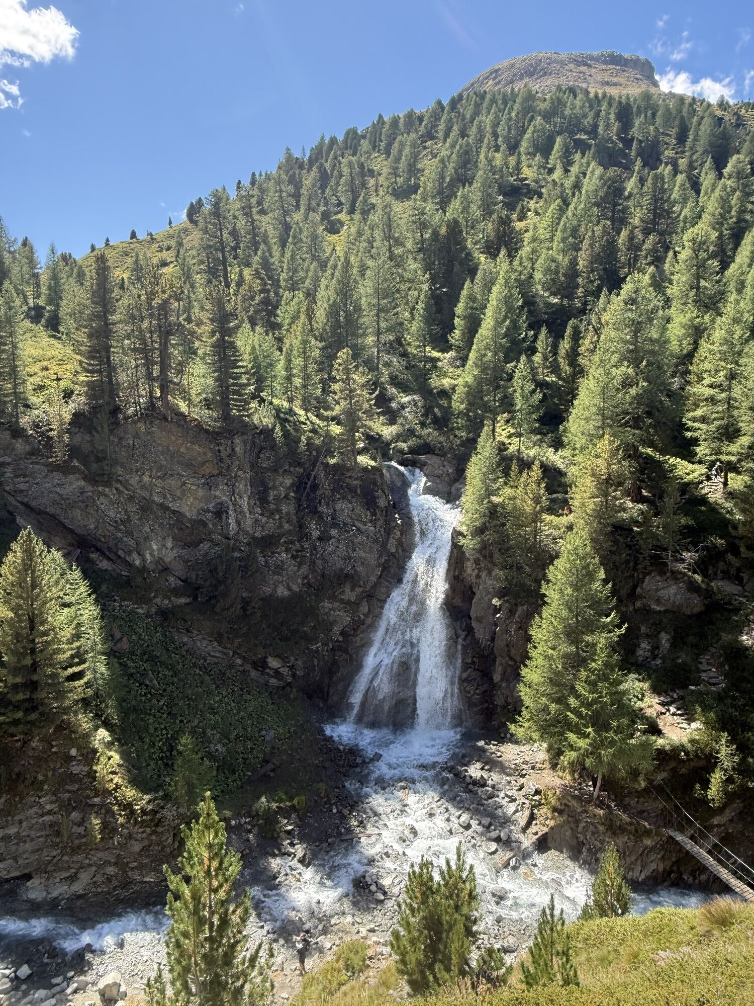
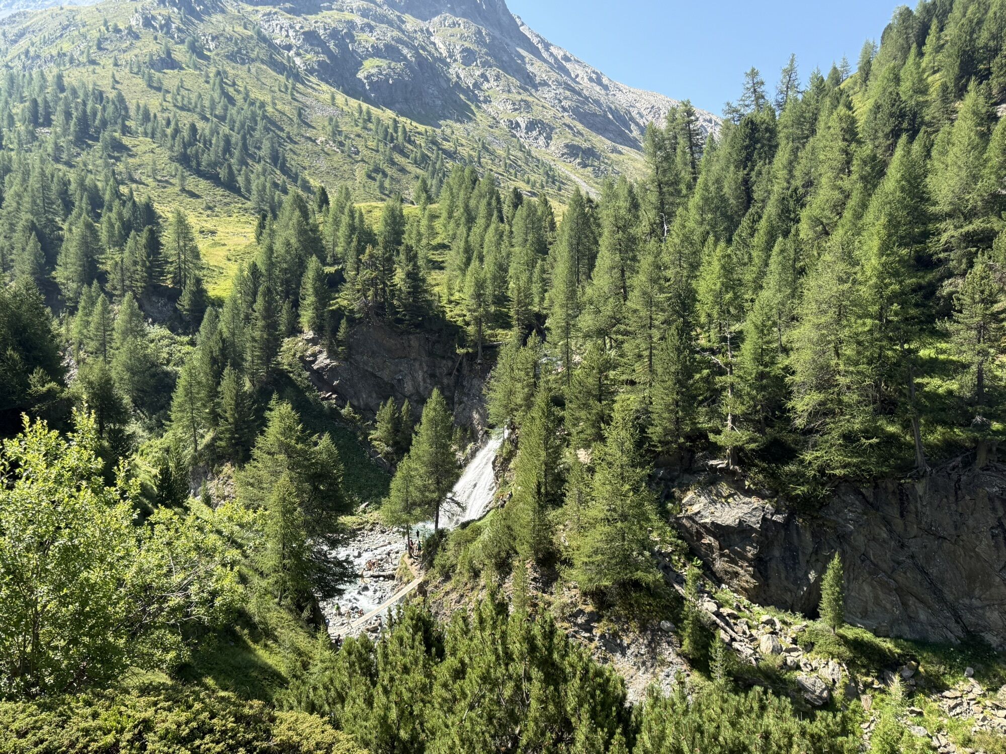
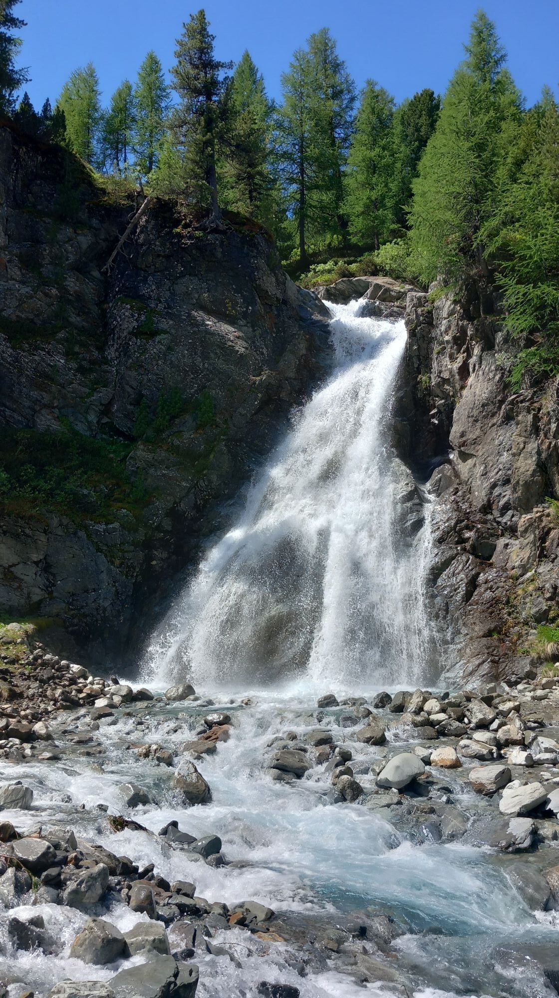
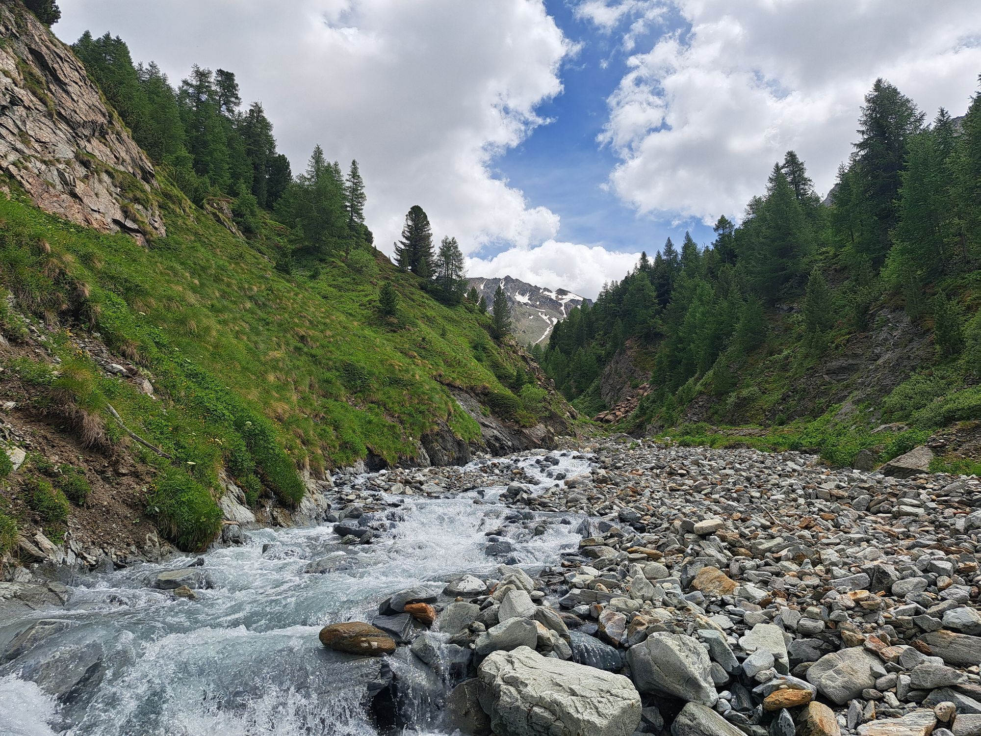
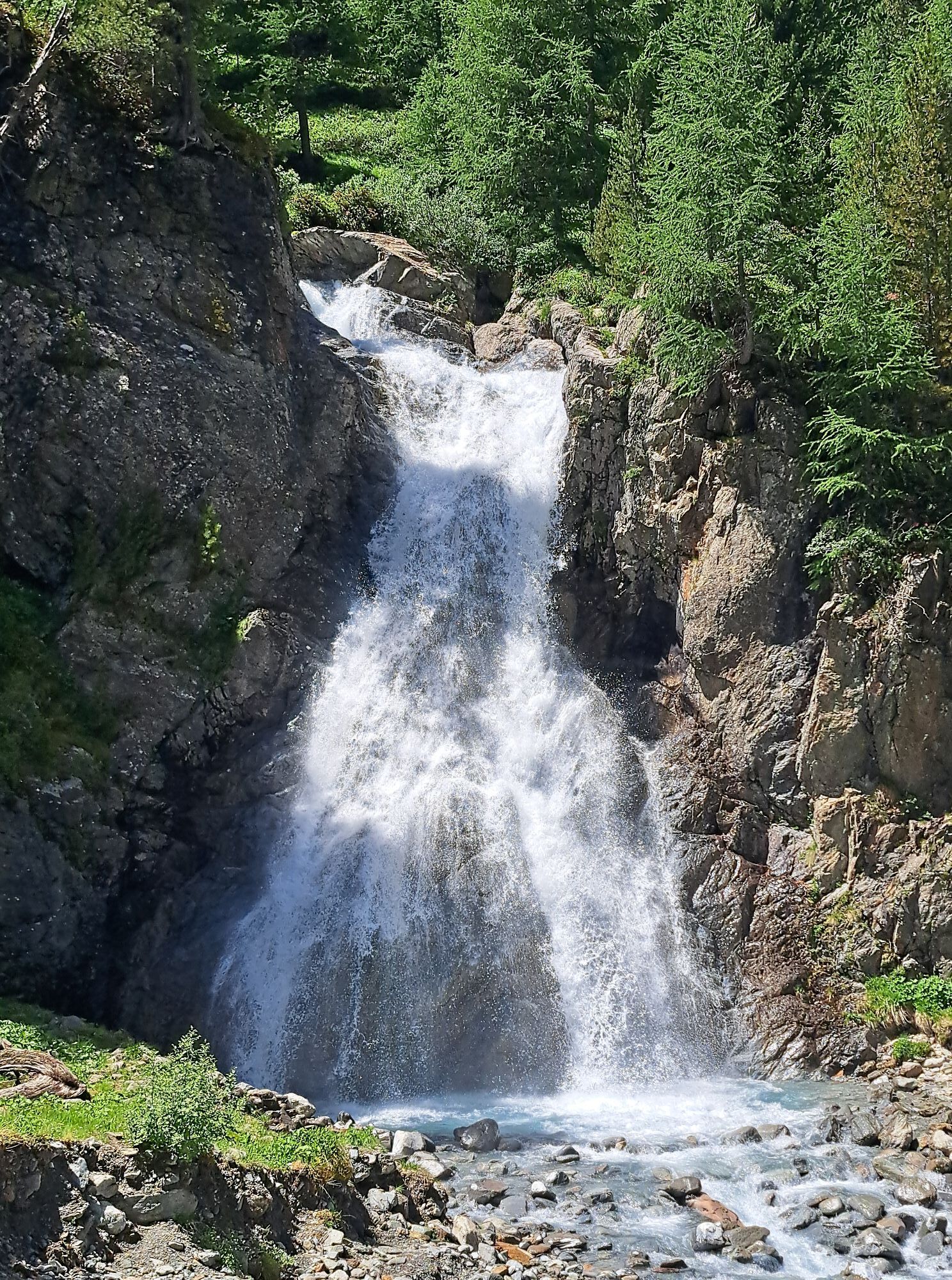
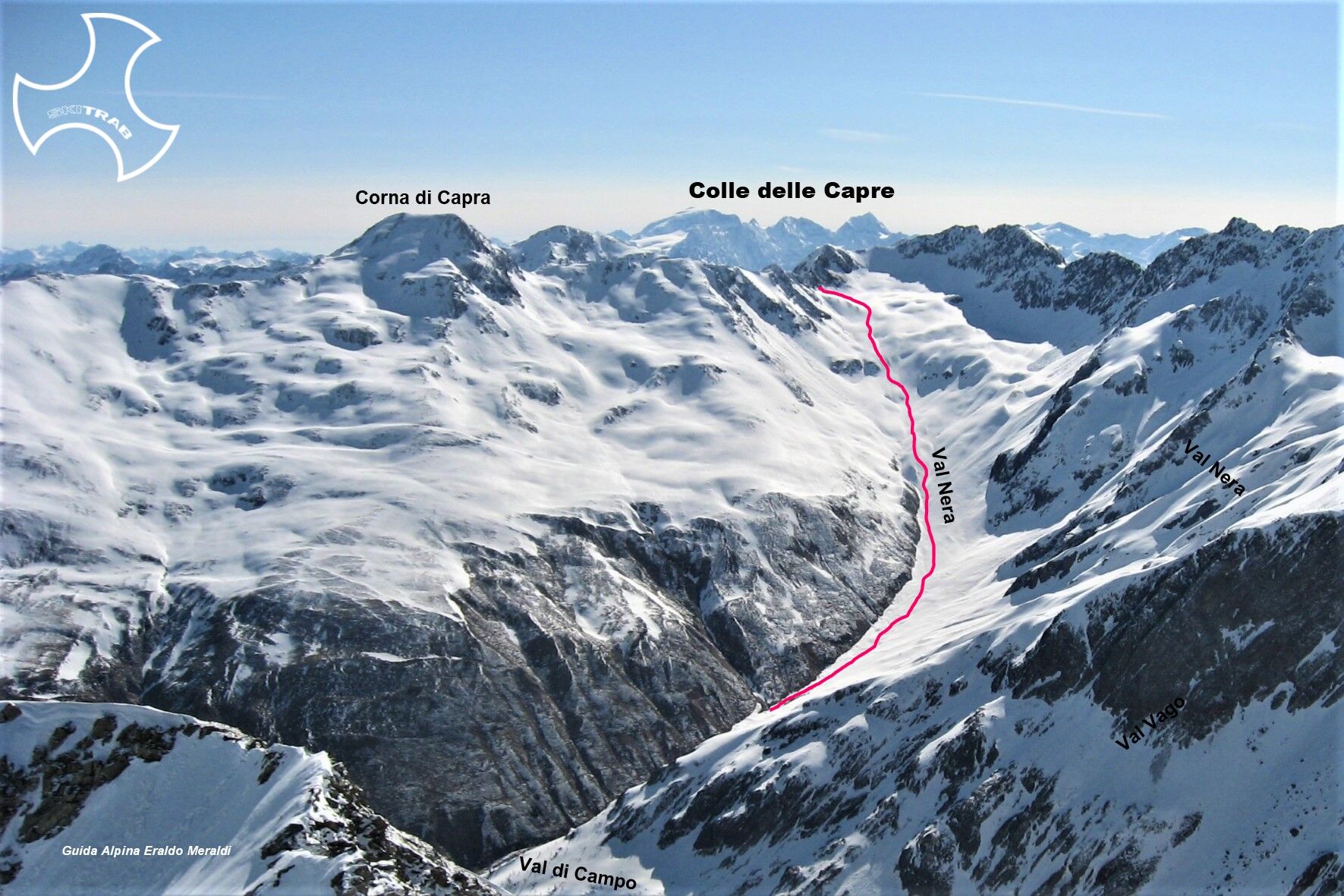
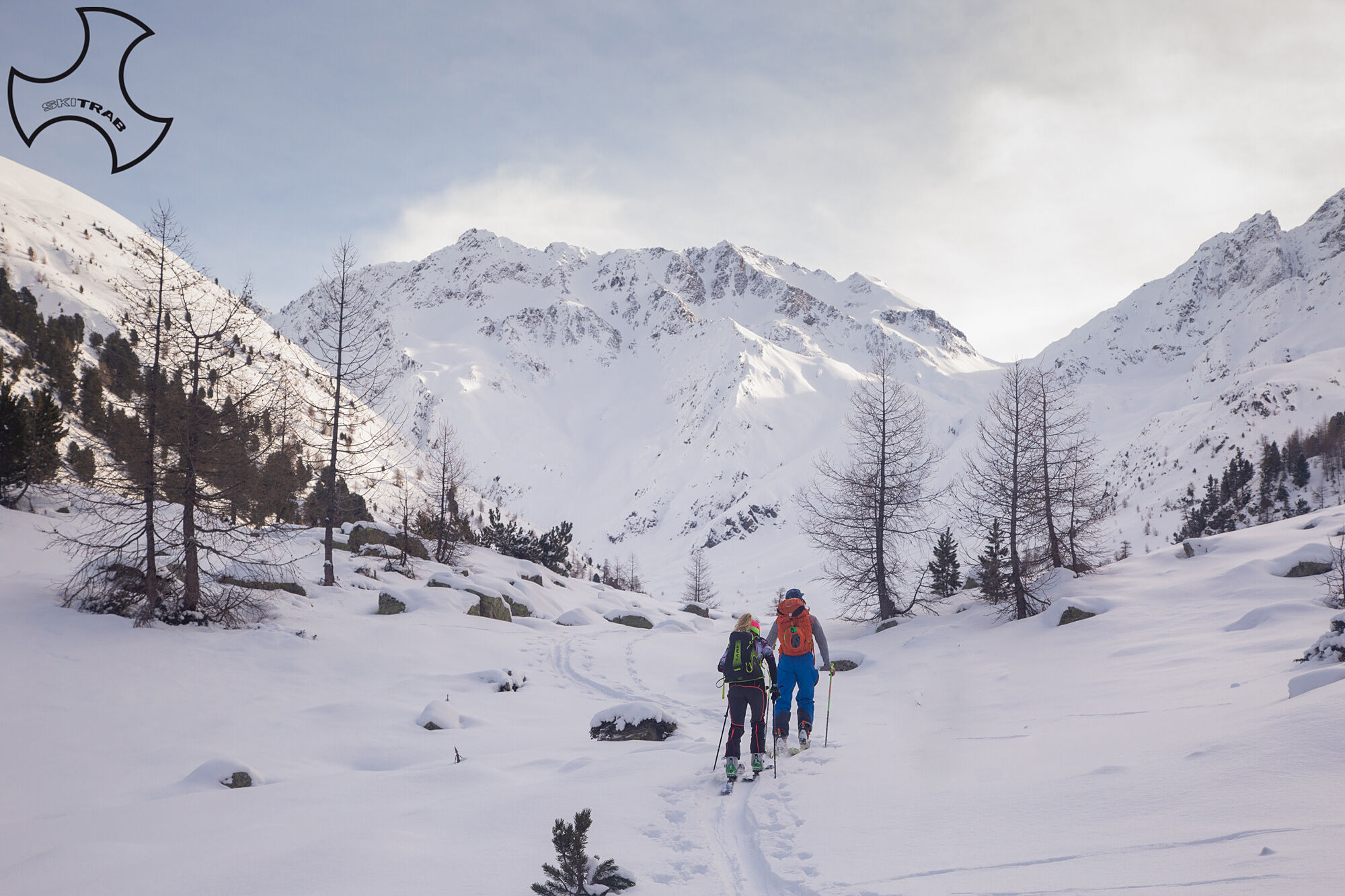
From Campacciolo in the vicinity of the Albergo Forcola follow the road to the bridge over the Spol stream, without crossing it go left along a short, slightly downhill stretch that leads to a wide plateau to the left of the stream, then by a logical route pass near the La Motte hut (1960 m) and then continue by a semi-flat path to Alpe Vago (1998 m). Without passing the small bridge leading to Alpe Vago, continue along the hillside a short distance from the river until you come in front of a frozen waterfall on the opposite side of the valley. Continue on an almost level path, still on the left side of the valley arriving in the vicinity of a vallecola where a beautiful stone pine is positioned that also serves as a reference. From here you descend diagonally into the vallecola for about fifty meters and continue along it for another 200 meters or so, thus coming out into the wide amphitheater of the Nera valley. Continue standing on the valley floor in an easterly direction overcoming a steeper section that leads to a false plain; from here, bending slightly to the left and overcoming a steep section, you arrive at Colle delle Capre.


Pont del Rez, Vallaccia, Monte Castelletto.
Self-rescue equipment (ARTVA, shovel and probe). Rampant.
The route description and trail are approximate and should be verified on site depending on the condition of the snowpack present during the hike.
Because this is a hike in a snowy mountain environment at high altitudes subject to continually changing snowpack conditions, it is advisable to have adequate experience in ski mountaineering, knowledge of the area, and up-to-date information on snow conditions.
Accompaniment with a professional guide is recommended.
In the vicinity of the Hotel Forcola.
The route description and trail are approximate and should be verified on site depending on the condition of the snowpack present during the hike.
Because this is a hike in a snowy mountain environment at high altitudes subject to continually changing snowpack conditions, it is advisable to have adequate experience in ski mountaineering, knowledge of the area, and up-to-date information on snow conditions.
Accompaniment with a professional guide is recommended.
Kamery internetowe z trasy
Uzyskaj wgląd
Zawsze na żywo z ponad 9 500 kamer internetowych. bergfex Jako użytkownik Pro, możesz teraz zobaczyć odpowiednie kamery internetowe dla wielu wycieczek w aplikacji wycieczki od. Pozwala to na bezpośredni podgląd aktualnych warunków.
Popularne wycieczki w okolicy
-
4,6
Diavolezza - Munt Pers
światłoWycieczki górskie 3,82 km -
5,0
Morteratsch station - Boval Hut
średniWędrówka 10,5 km -
5,0
Mountain hike to Lagh da Saoseo
ciężkiWędrówka 15,0 km -
4,7
Morteratsch Glacier route
światłoTrasa tematyczna 2,88 km -
4,4
Piz Palü (3.905m) – Hochtour
średniWycieczka wysokogórska 13,4 km -
Muottas Muragl - Segantini Hütte - Pontresina
średniWędrówka 17,5 km -
5,0
Lagalb - Val Minor - Motta Bianca - Lagalb
średniWędrówka 9,80 km -
4,5
Diavolezza - Lej da Diavolezza
średniWędrówka 6,22 km -
5,0
Alp Languard - Paradis Hut - Pontresina
światłoWędrówka 7,05 km -
5,0
Lej Muragl
średniWędrówka 7,39 km
Wędrówki i tropienie


Nie przegap ofert i inspiracji na następne wakacje
Twój adres e-mail została dodana do listy mailingowej.





