


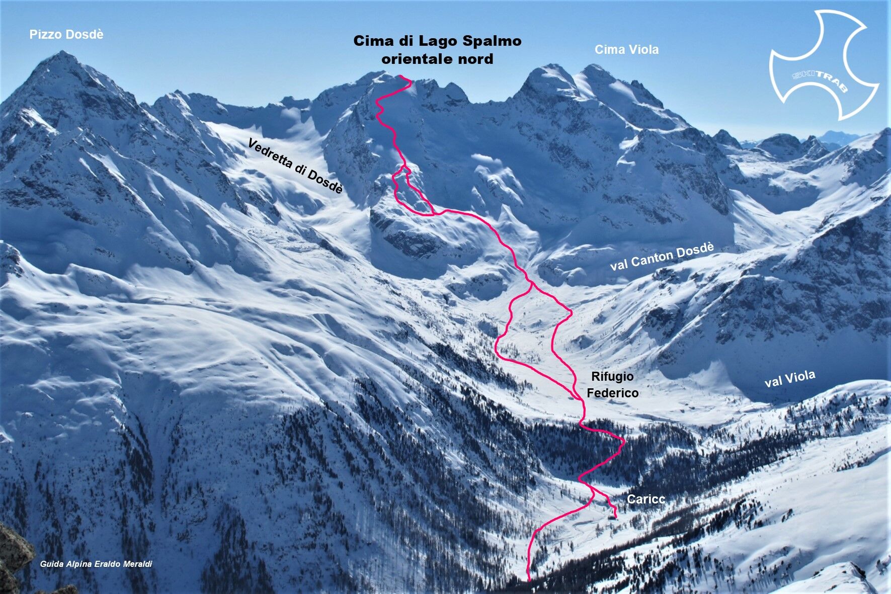
Lake Top Eastern Shovel North
From Arnoga follow the carriage road that halfway up the Viola valley and past the detours to Sattarona, Val Verva, and Stagimel, you arrive after about 50 minutes at a detour. Leaving the road that climbs...
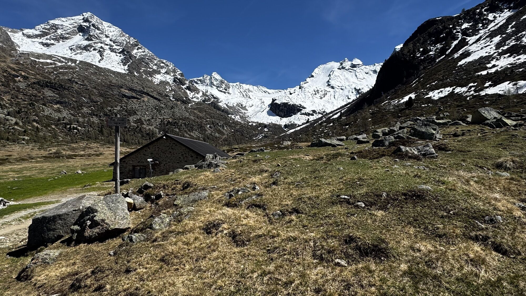
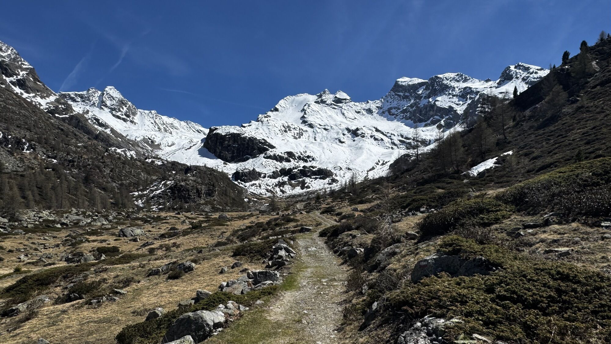
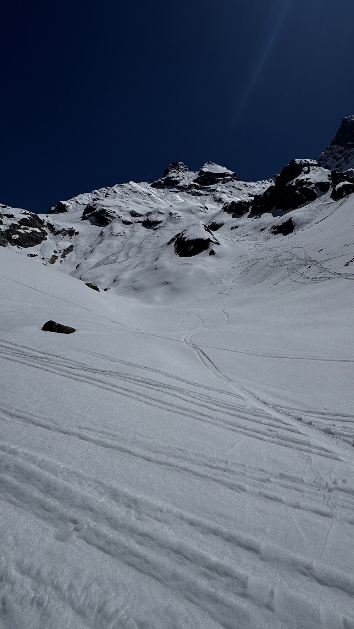
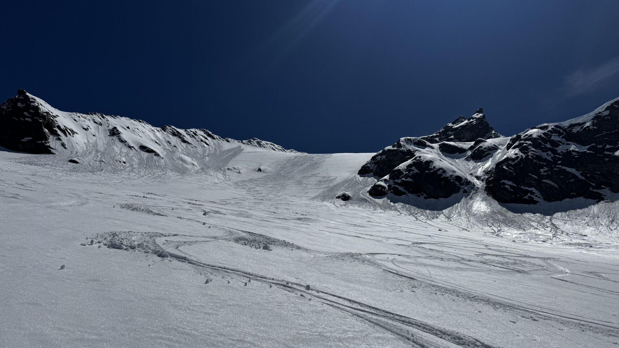
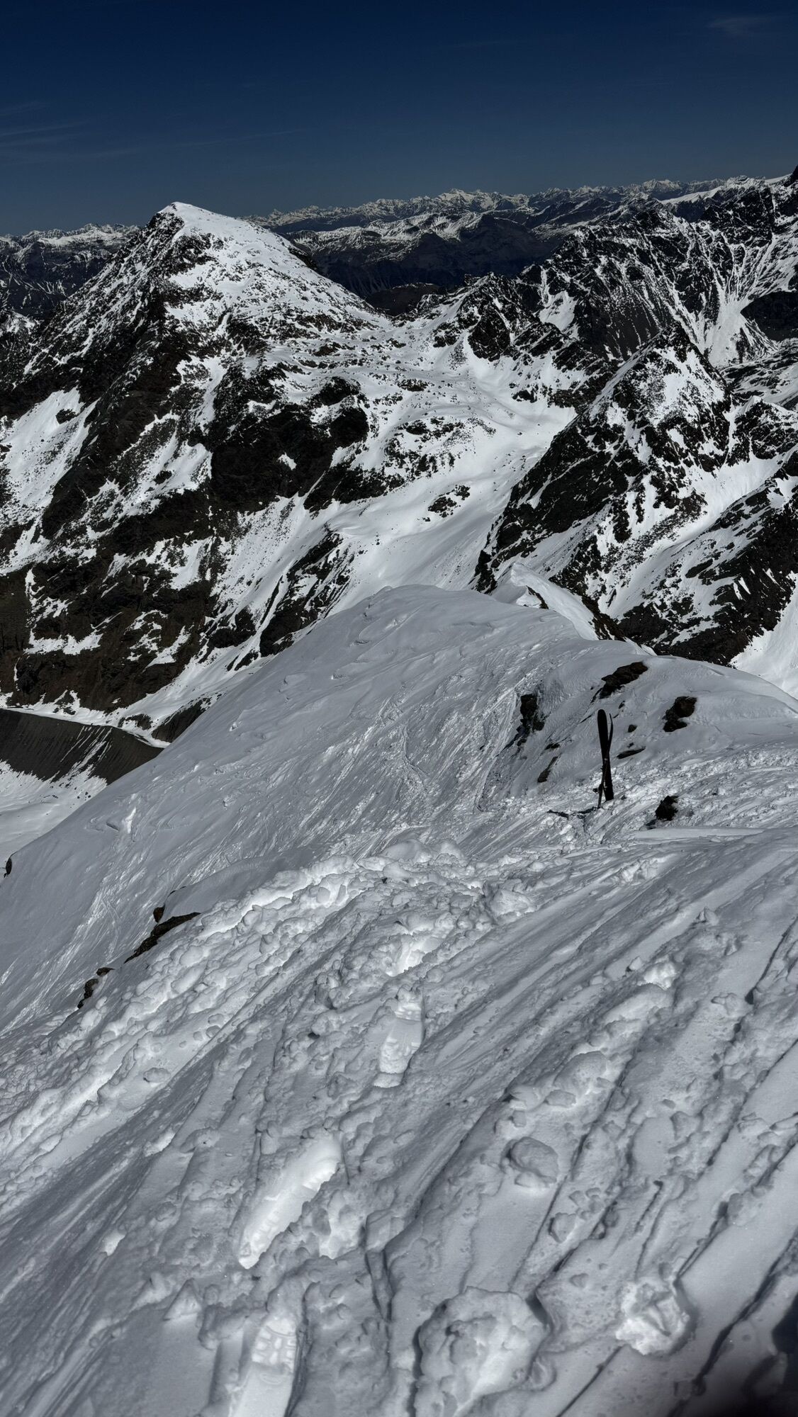
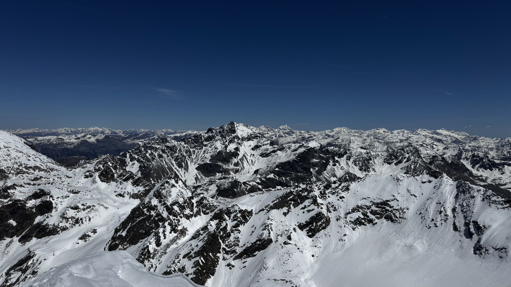
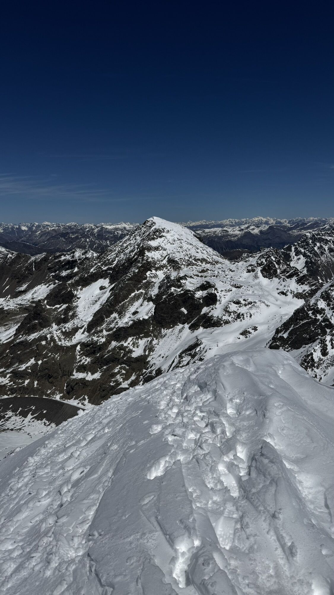
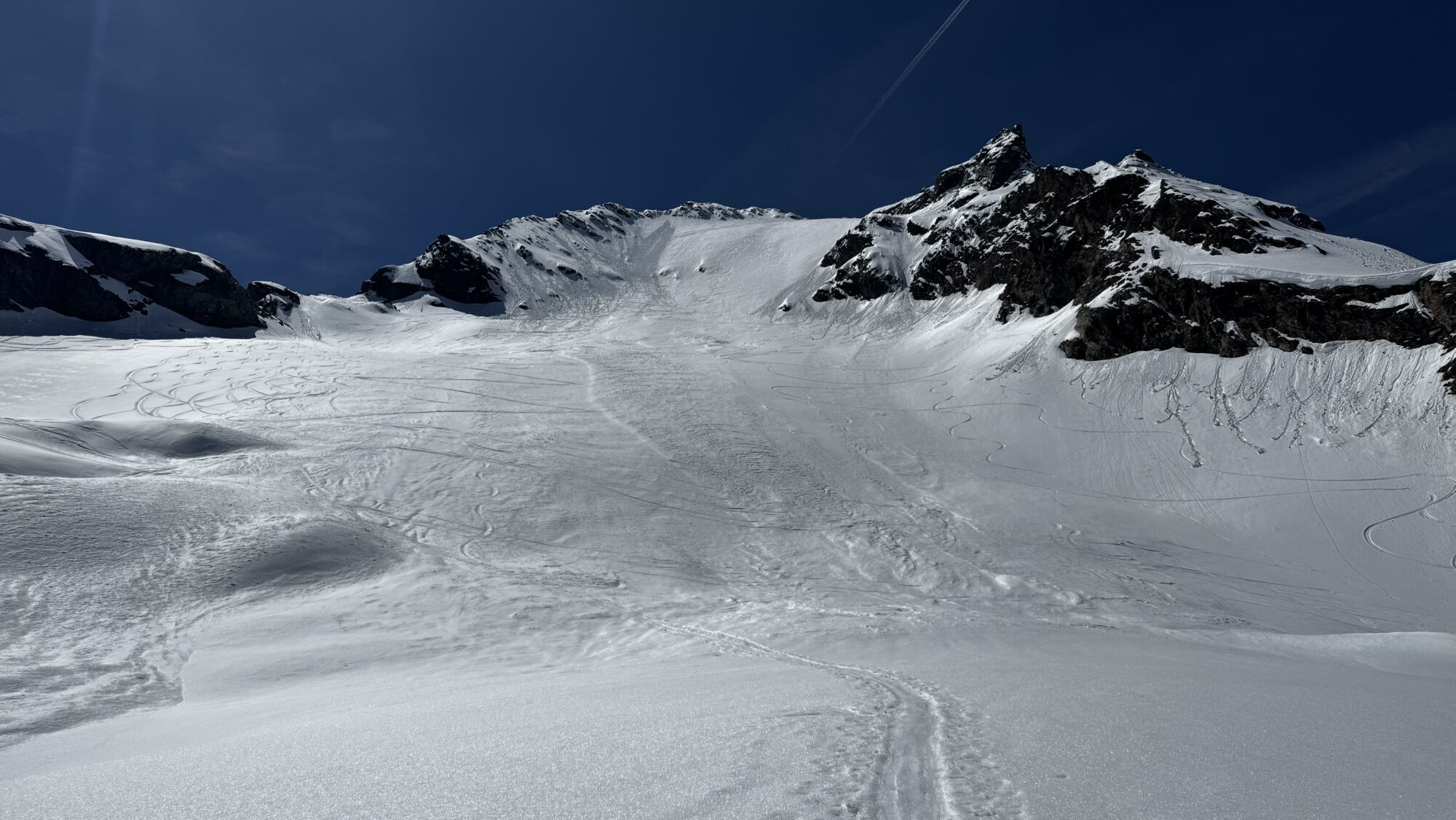
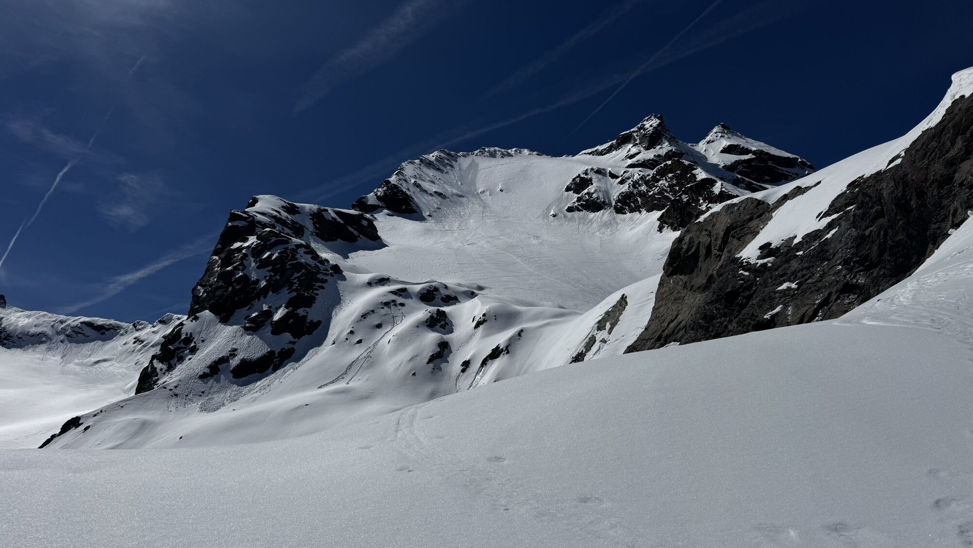
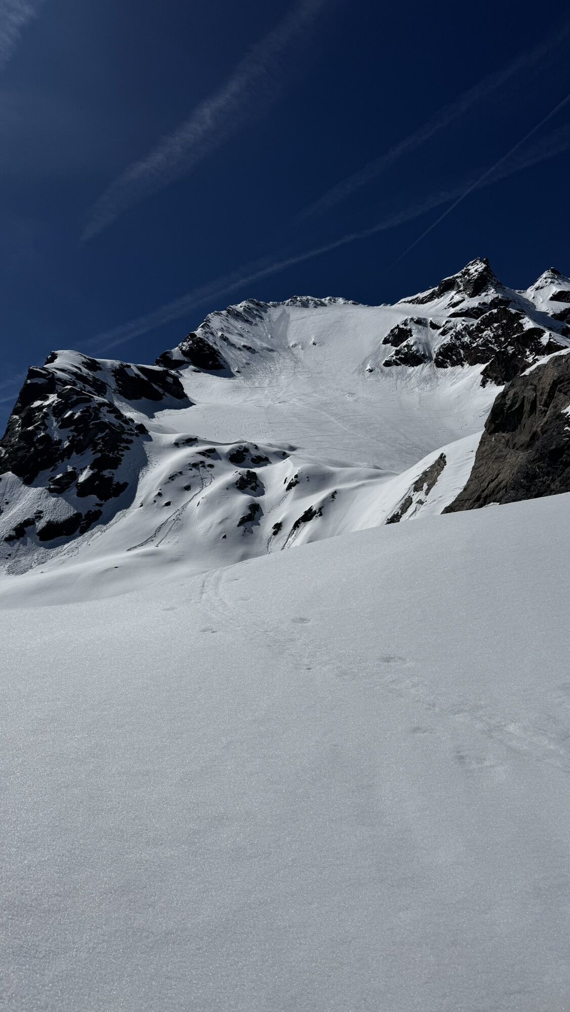
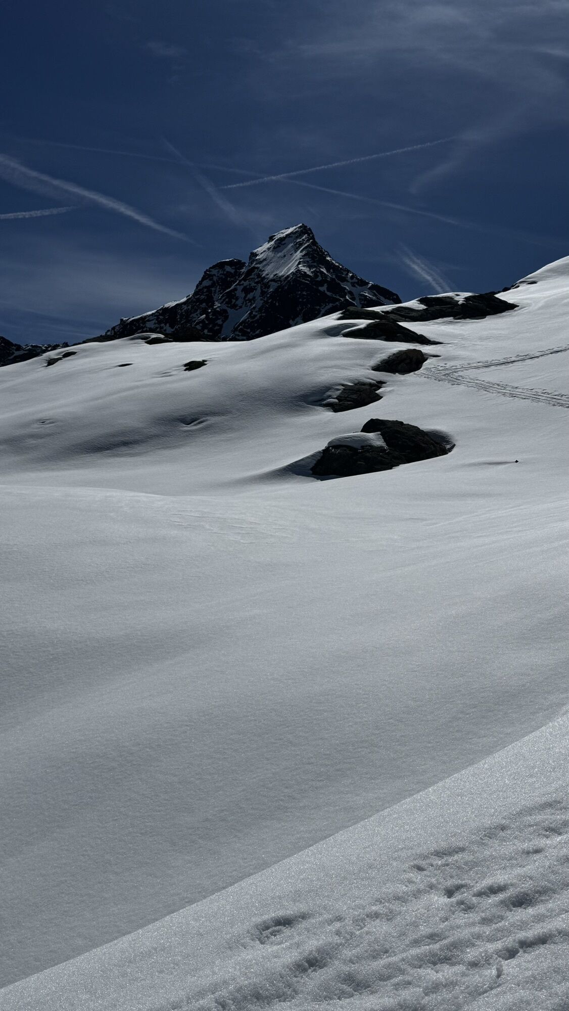
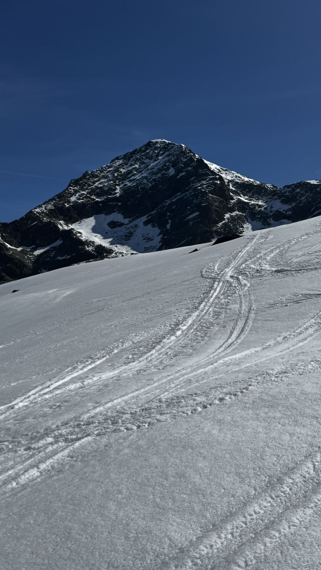
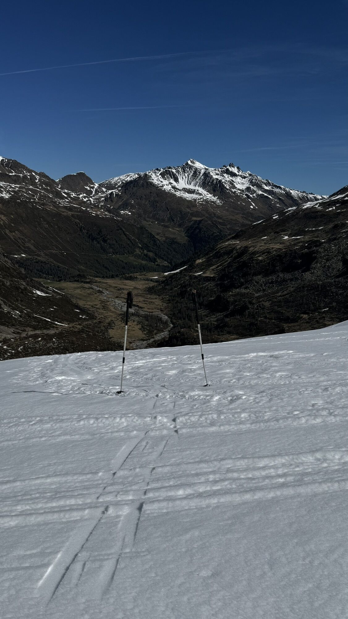
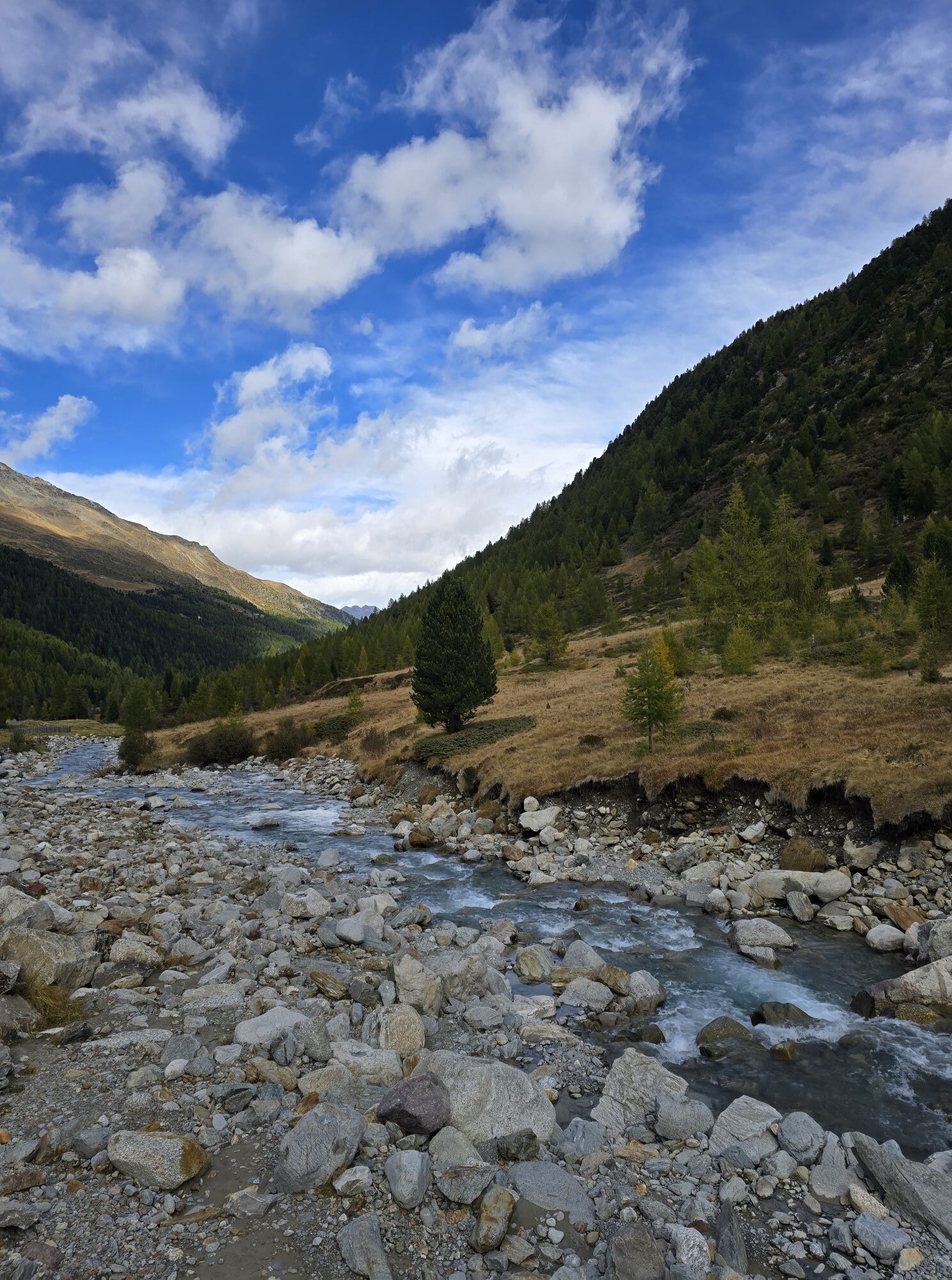
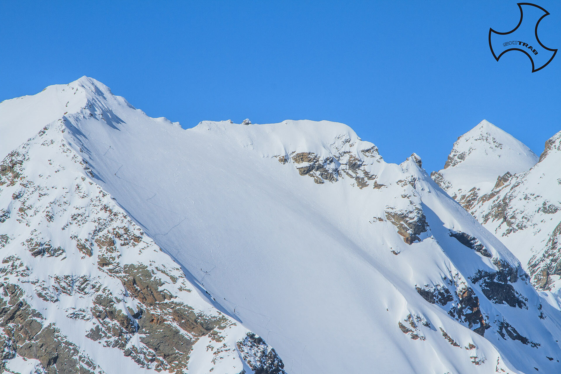
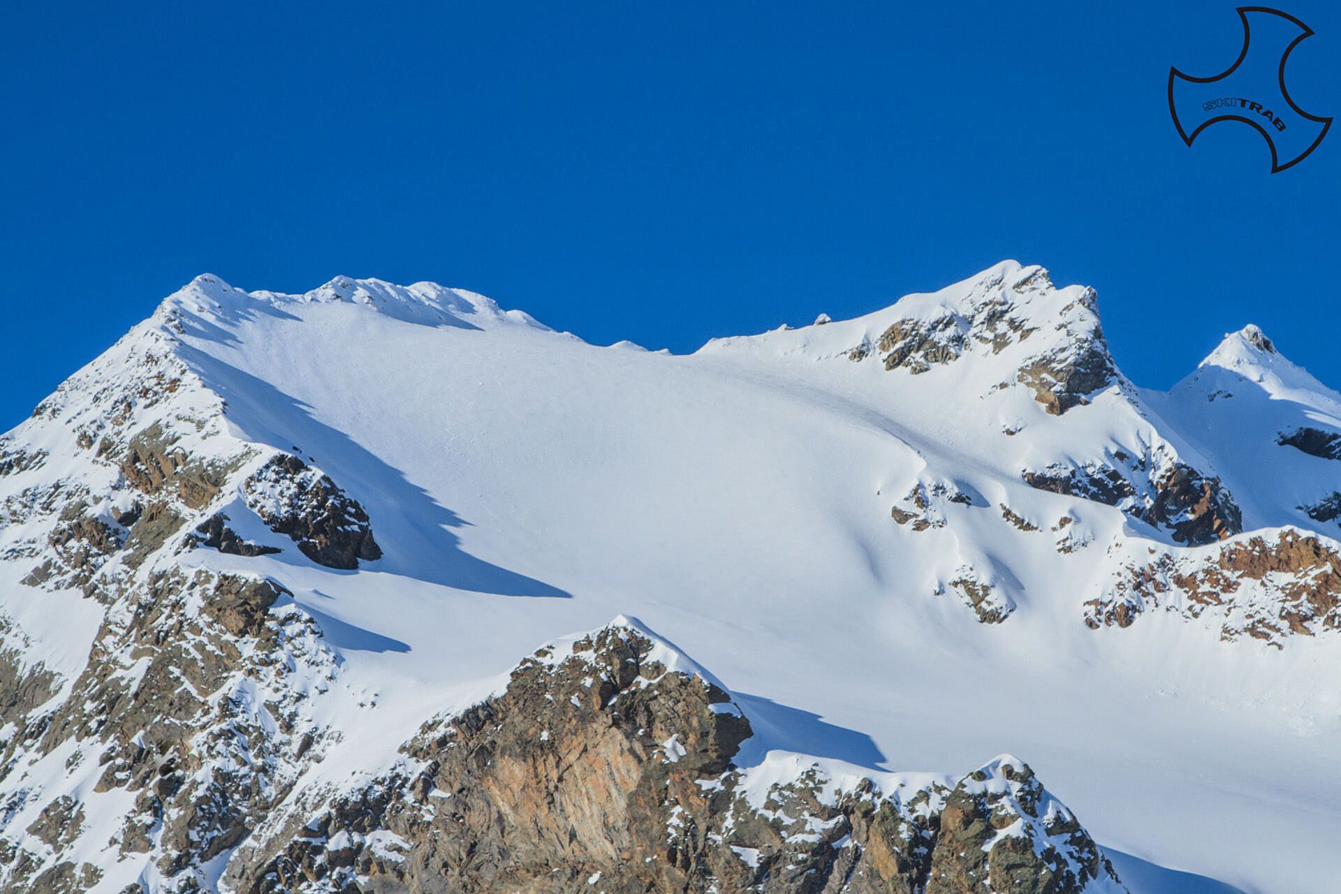
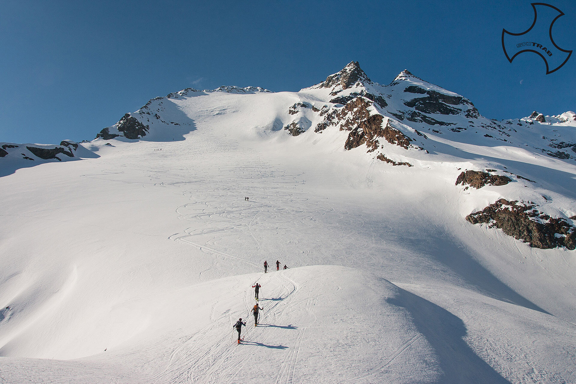
From Arnoga follow the carriage road that halfway up the Viola valley and past the detours to Sattarona, Val Verva, and Stagimel, you arrive after about 50 minutes at a detour. Leaving the road that climbs toward Altumeira, you descend again on a snow-covered road to the Caricc locality where just before, or shortly after, the Agroturismo Baita Caricc (1990 m), you cross the bridge over the Viola stream and climb to the right following the mule track that leads to the magnificent Dosde' plain. Then you bring yourself near the Federico refuge of CAI Bormio (2133 m) and descend to the bridge on the right to cross the Viola stream and continue along the valley floor until you enter the valley of Canton Dosde' . When you reach a bridge, cross it and begin to climb into the vast, funnel-shaped, shallow slope to the left of the clearly visible Bivacco Caldarini (2503 m). (This point can also be reached by standing to the left of the stream to the bottom of the plain.) You skirt the obvious rocky outcrop to the right and, having arrived in a flatter area, turn sharply to the left going up a steep ridge, or even further to the left a small valley leading to the base of the western Dosde' glacier. You bear sharply left near the n-e ridge and climb the steepest section of the ascent (30 to 40). The last section sags a little and bending to the right you reach a vent and leftward in the vicinity of the ridge and hike up the ridge to the summit (3262 m).
Stelvio Pass, Nagler, Punta degli Spiriti.
Self-rescue equipment (ARTVA, shovel and probe). Rampant, harness, ice axe and crampons.
From April, the road to the Caricc location is usually opened, greatly reducing the access section. The final section of the route is very steep and it is preferable with hard snow to climb it on foot with crampons.
The route description and track are indicative and should be checked on site depending on the state of the snowpack present during the hike.
Because this is a hike in a snowy mountain environment at high altitudes subject to continually changing snowpack conditions, it is advisable to have adequate experience in ski mountaineering, knowledge of the area, and up-to-date information on snow conditions.
Accompaniment with a professional guide is recommended.
At the hairpin bend descend to the left.
The route description and trail are approximate and should be verified on site depending on the condition of the snowpack present during the hike.
Because this is a hike in a snowy mountain environment at high altitudes subject to continually changing snowpack conditions, it is advisable to have adequate experience in ski mountaineering, knowledge of the area, and up-to-date information on snow conditions.
Accompaniment with a professional guide is recommended.

Popularne wycieczki w okolicy
-
5,0
Mountain hike to Lagh da Saoseo
ciężkiWędrówka 15,0 km -
5,0
Lagalb - Val Minor - Motta Bianca - Lagalb
średniWędrówka 9,80 km -
5,0
Ospizio Bernina Station - Alp Grüm (-Cavaglia)
światłoWędrówka 4,97 km -
5,0
Crap da la Pare' with Joëlette
światłoWędrówka 4,58 km -
5,0
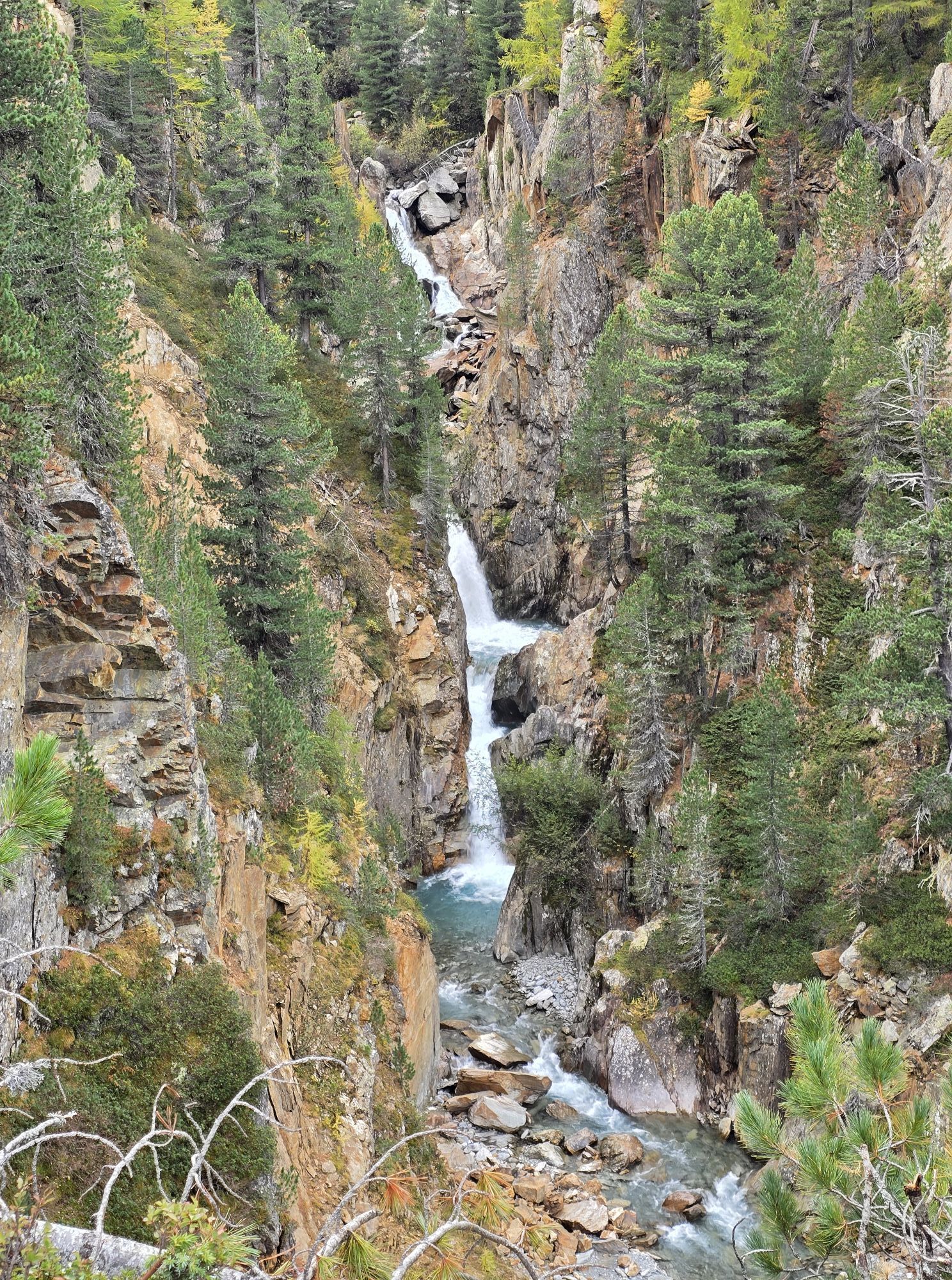
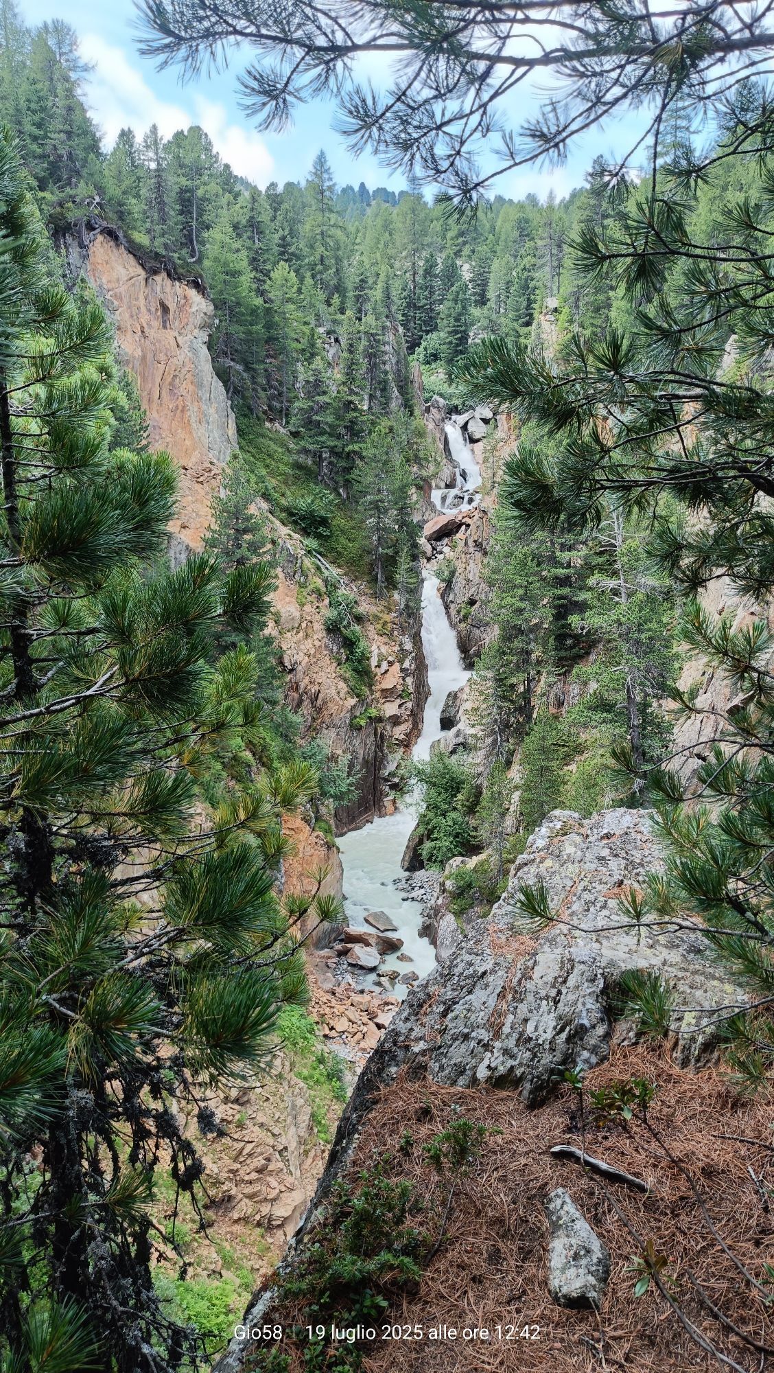
Val Nera Waterfalls
światłoWędrówka 5,70 km -
5,0
Lago Bianco
Wędrówka 7,91 km -
Alp Grüm - Cavaglia - Poschiavo
średniWędrówka 9,41 km -
5,0
53 Bernina Tour Switzerland: Stage 1 Poschiavo-Bernina Pass
średniWędrówka 14,6 km -
4,5
Da Sfazù a lago Saoseo
światłoWędrówka 11,0 km -
Mount of Mines
średniWycieczka narciarska 4,78 km
Wędrówki i tropienie


Nie przegap ofert i inspiracji na następne wakacje
Twój adres e-mail została dodana do listy mailingowej.