







Stelvio Natural Winter Walk: Snowflakes Trail
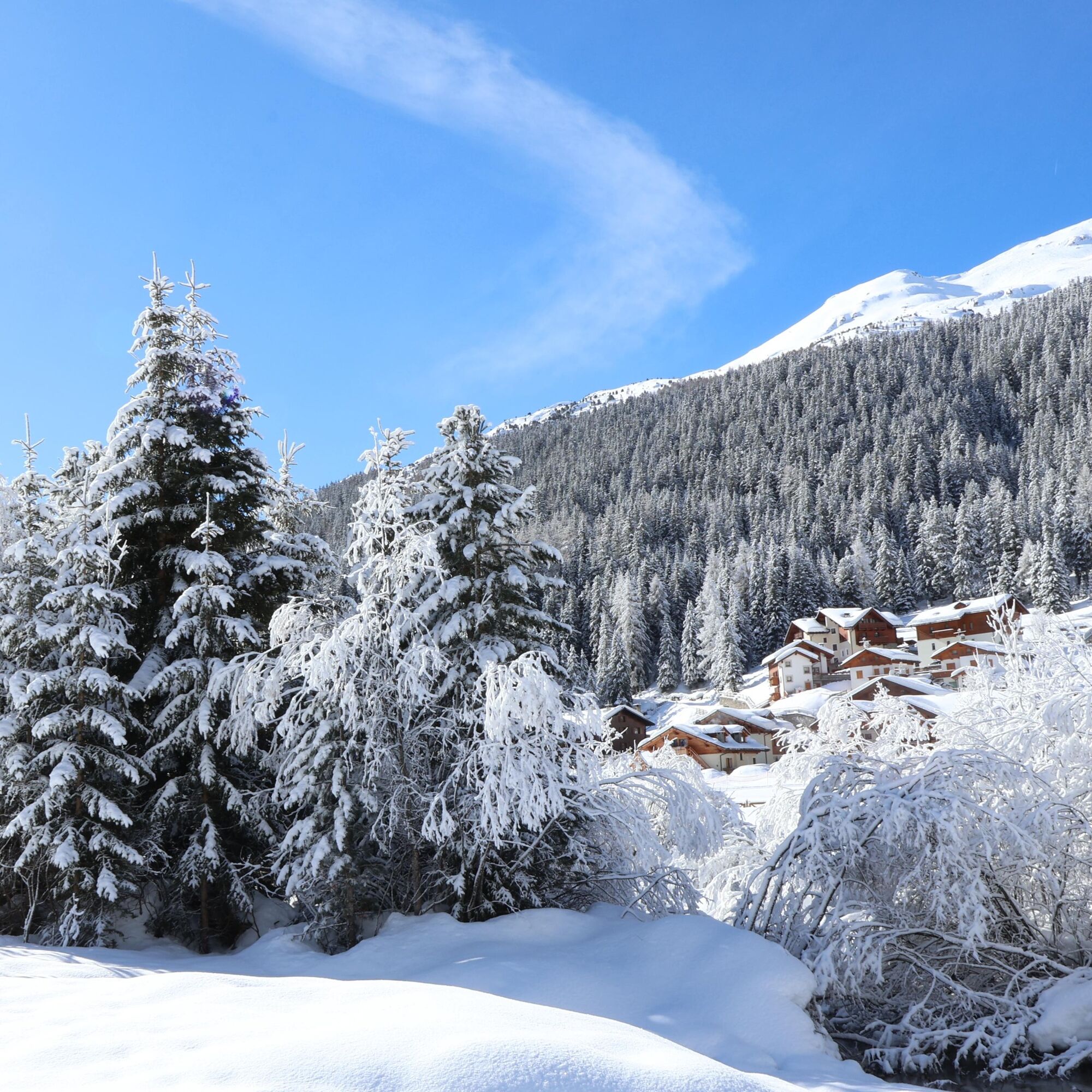
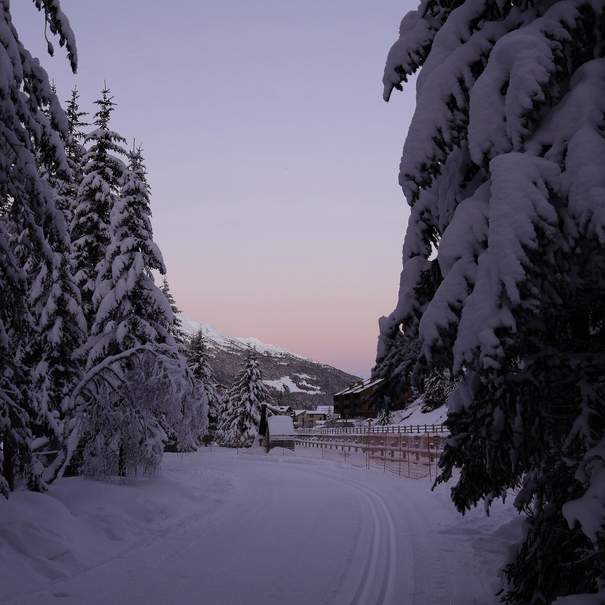
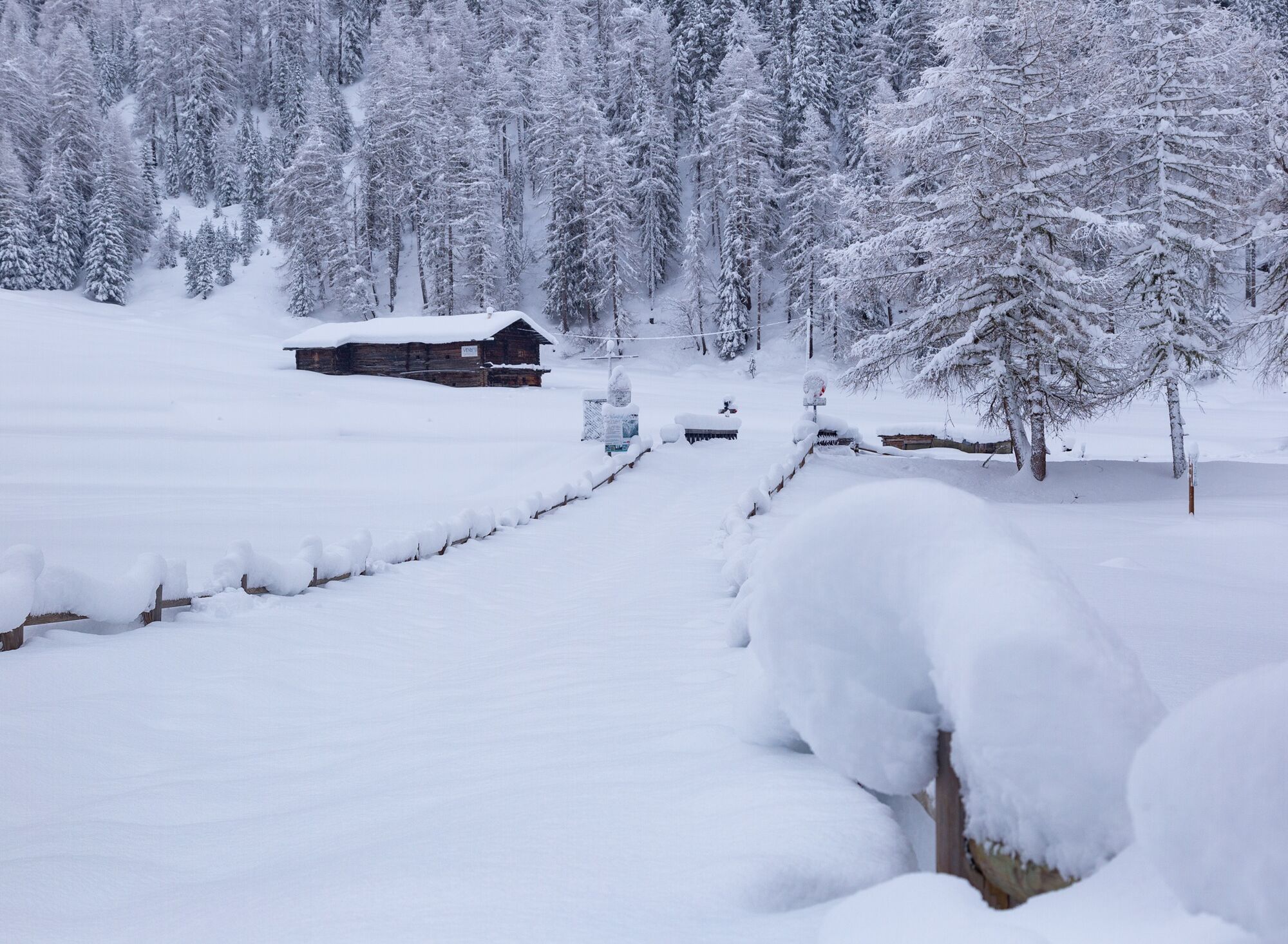
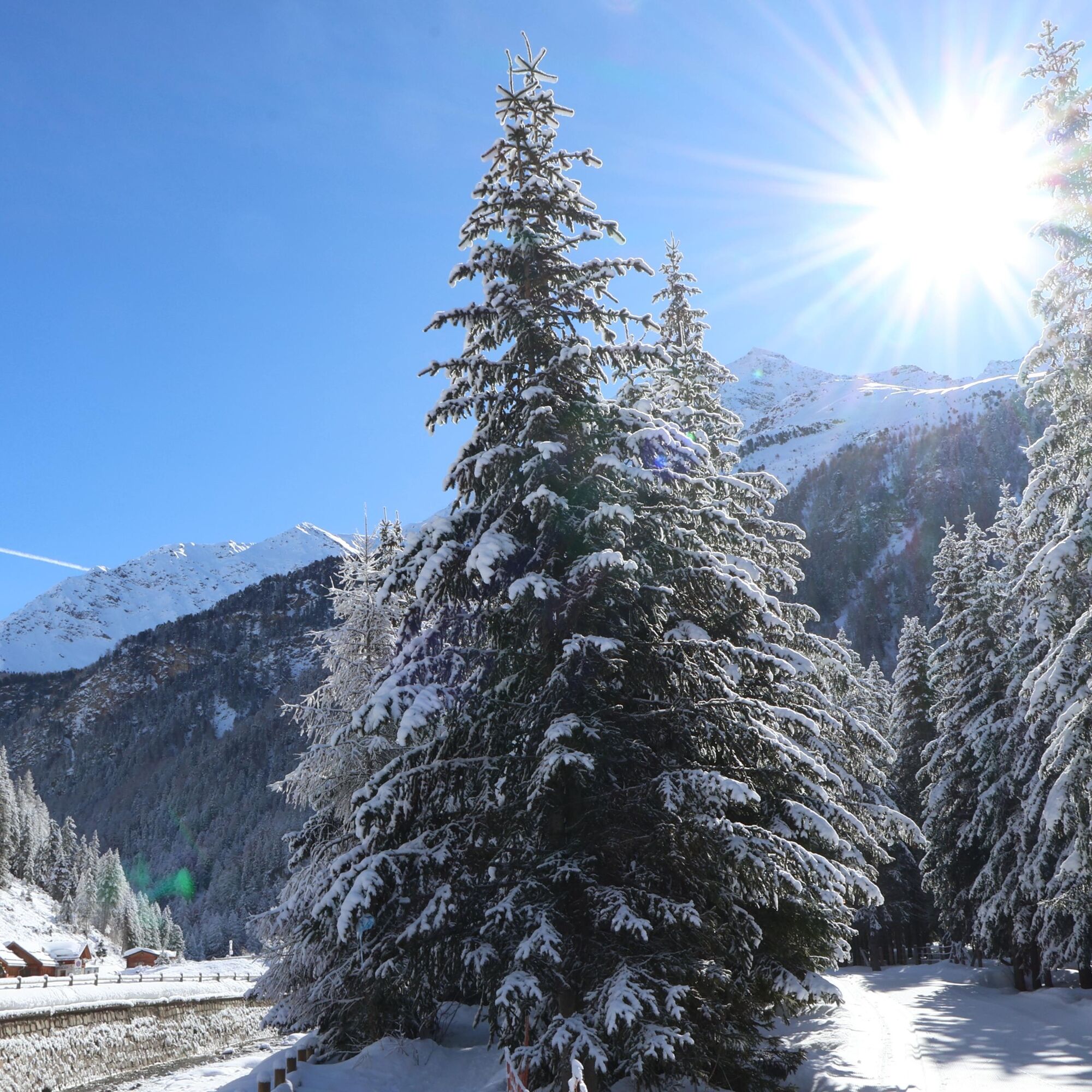
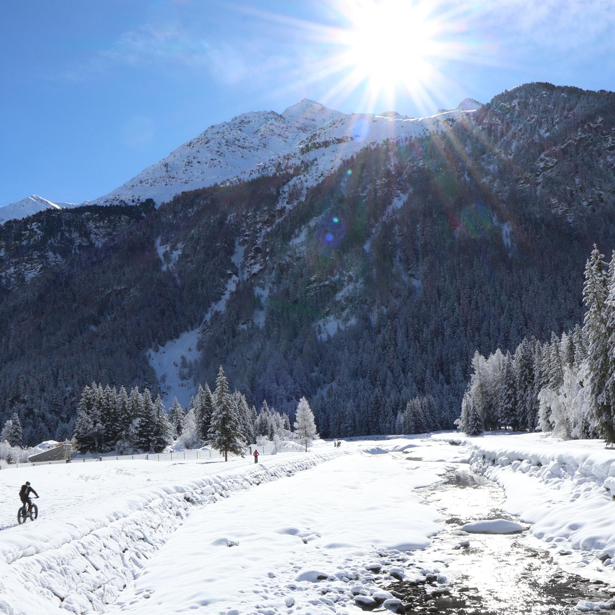
Flat itinerary that, at S. Caterina Valfurva, allows you to take a simple but relaxing excursion immersed in the nature of Stelvio National Park. Starting from the La Fonte center, you follow the Valtellina...
Flat itinerary that, at S. Caterina Valfurva, allows you to take a simple but relaxing excursion immersed in the nature of Stelvio National Park. Starting from the La Fonte center, you follow the Valtellina cross-country ski trail entering the woods and meadows of Nassegno heading towards the Valle dei Forni.

Tak
Telescopic poles with snow baskets
Waterproof and warm boots
Layered winter clothing
Gloves, hat, and sunglasses
Backpack with water, energy snacks
Map of the area or GPS track
ARTVA device, shovel and probe recommended in case of heavy snow
The itinerary takes place in a winter mountain environment: it is essential to check the weather conditions before departure. In the presence of fresh snow, wind, or reduced visibility, the route may be more challenging. It is advisable to always stay on the marked trail and avoid shortcuts. In case of doubts about the conditions or your own preparation, rely on qualified professionals.
Santa Caterina Valfurva is easily reachable by car all year round coming from: Lecco, Brescia, and Switzerland. During summer, it is possible to pass through the Gavia and Stelvio passes. The nearest airport is Milan, from where you can continue by bus to Santa Caterina or by train to Tirano and then by bus.
Throughout the year, regular buses cover the Sondrio-Tirano-Bormio route and vice versa. The connection between Bormio, Uzza, S.Nicolò, S.Antonio, and Santa Caterina (about 14 km) is served by regular buses.
During peak seasons, Perego bus lines provide a direct Milan-Bormio connection.
The nearest parking lot is located on Via Forni – Zona Fonte
Hourly rate €1/h from 7:00 AM to 7:00 PM (every day - including holidays)
PARKING ALLOWED FOR PASS VERDE SUBSCRIBERS ONLY. NO CAMPERS – BUSES – TRUCKS
You are immersed in Stelvio National Park: respect the natural environment and wildlife by avoiding unnecessary noises and keeping distances from animals. Do not litter and always follow the signs along the route. The itinerary may be subject to changes or temporary closures depending on snow and weather conditions.
Uzyskaj wgląd
Zawsze na żywo z ponad 9 500 kamer internetowych. bergfex Jako użytkownik Pro, możesz teraz zobaczyć odpowiednie kamery internetowe dla wielu wycieczek w aplikacji wycieczki od. Pozwala to na bezpośredni podgląd aktualnych warunków.
Popularne wycieczki w okolicy
-
4,6
Martellerhütte Höhenweg
średniWycieczka wysokogórska 8,70 km -
5,0
Martell-Tal Rundweg zur Marteller Hütte
światłoWędrówka 10,8 km -
3,9
Von Sulden zur Hinteren Schöntaufspitze
średniWędrówka 12,7 km -
3,7
Payerhütte 3020m
Wędrówka 6,98 km -
4,5
Sonnenaufgang auf der Rötelspitze im Nationalpark Stilfserjoch
Wędrówka 2,02 km -
5,0
Wanderung/Aufstieg zur Payerhütte
światłoWędrówka 15,9 km -
4,3
Obervinschgau - Madritschjoch, der höchste Transalp Übergang
Mountainbike 9,54 km -
5,0
Ortler über Meraner Weg (vom Tal/Trafoi)
ciężkiWycieczka wysokogórska 11,9 km -
4,3
Ortler – Normalweg
ciężkiWycieczka wysokogórska 7,30 km -
3,5
Watervallen wandeling
światłoWędrówka 4,95 km

Wędrówki i tropienie


Nie przegap ofert i inspiracji na następne wakacje
Twój adres e-mail została dodana do listy mailingowej.





