







Stelvio Epic Rides: Fumero climb
Poziom trudności: 3
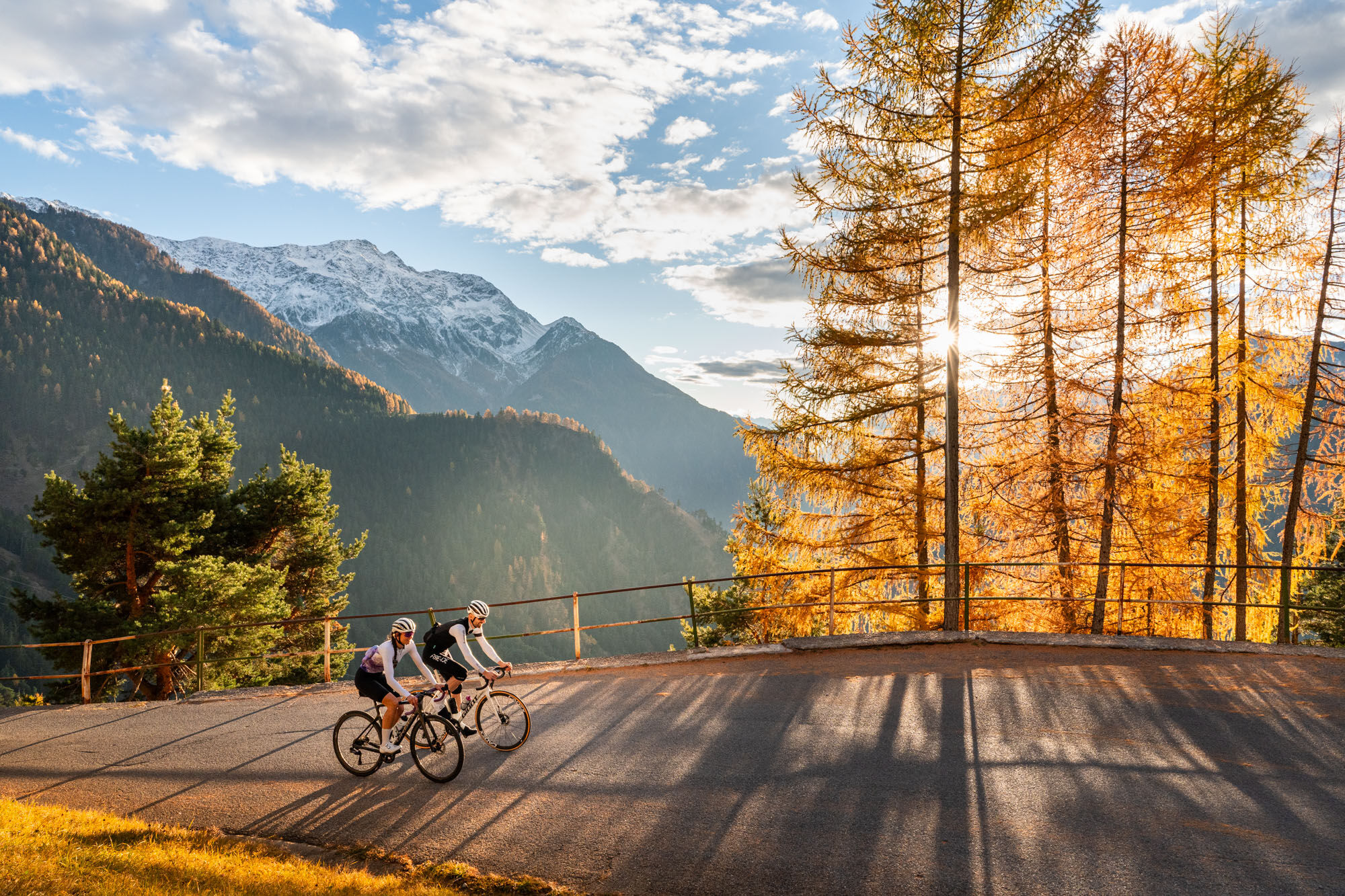
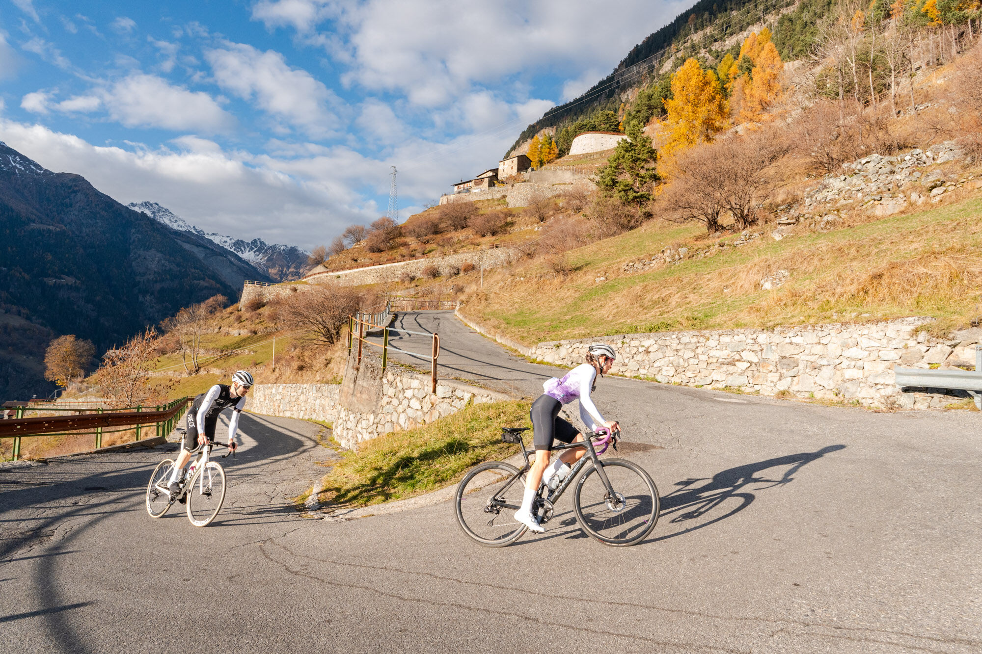
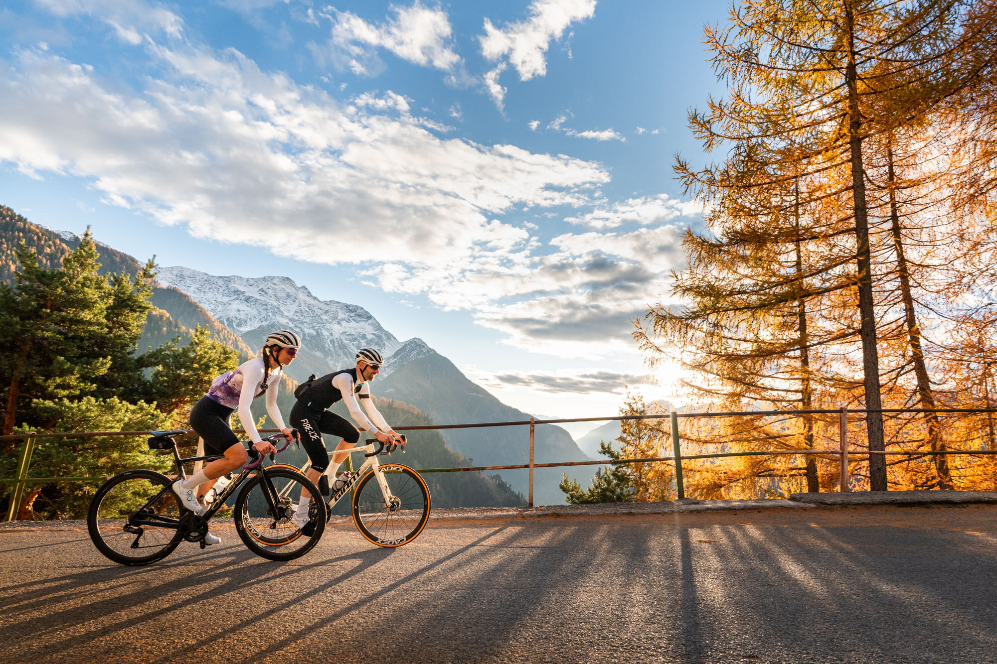
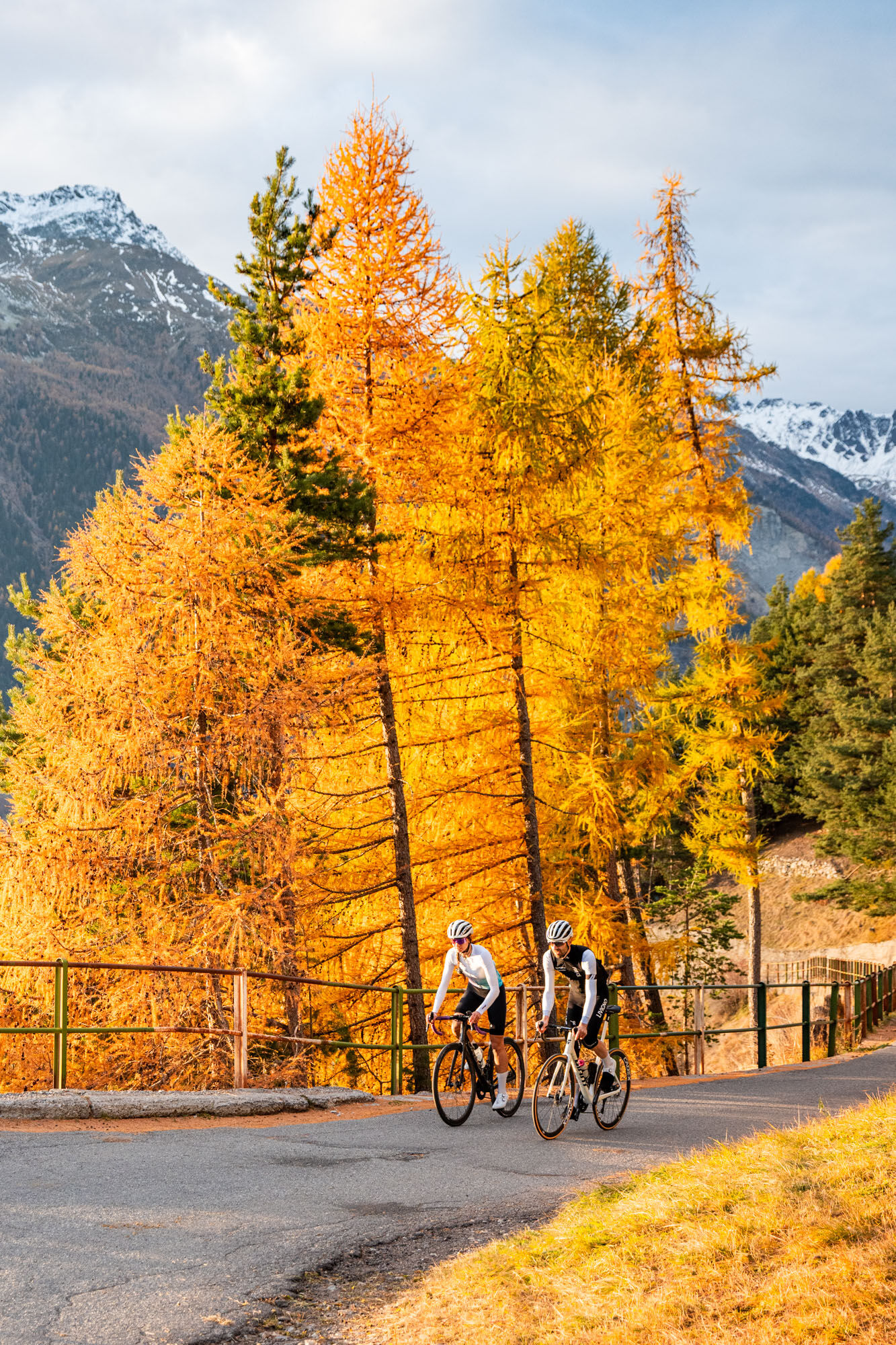
The climb to Fumero, starting from Le Prese, is a route of about 7 km with an elevation gain of about 550 meters.
It is a steady and sometimes challenging climb that passes through villages and woods.
...The climb to Fumero, starting from Le Prese, is a route of about 7 km with an elevation gain of about 550 meters.
It is a steady and sometimes challenging climb that passes through villages and woods.
Once at Fumero, you can enjoy a peaceful atmosphere and a scenic view over the Upper Valley.
It is an ideal climb for training or a fast ride.
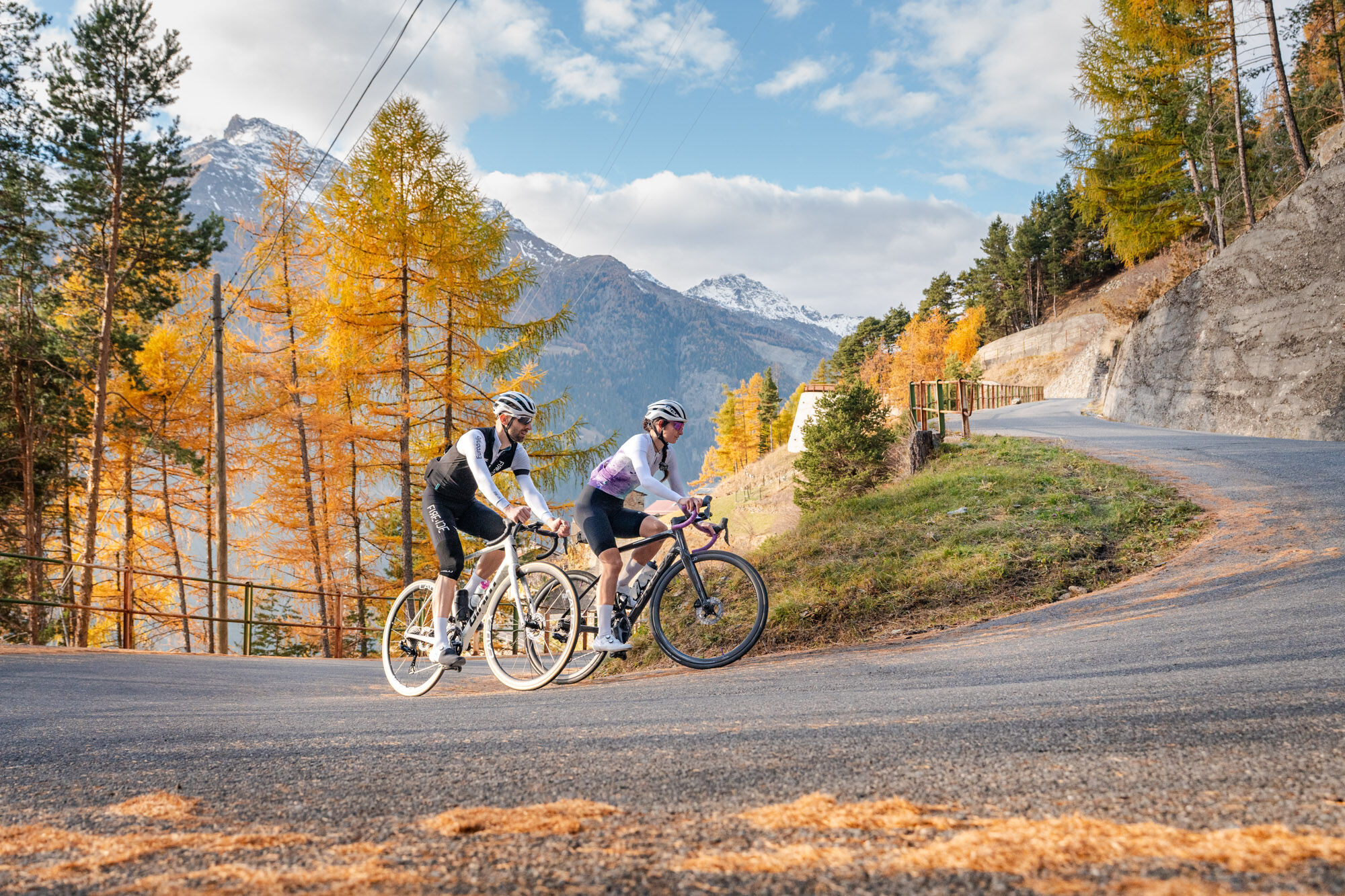
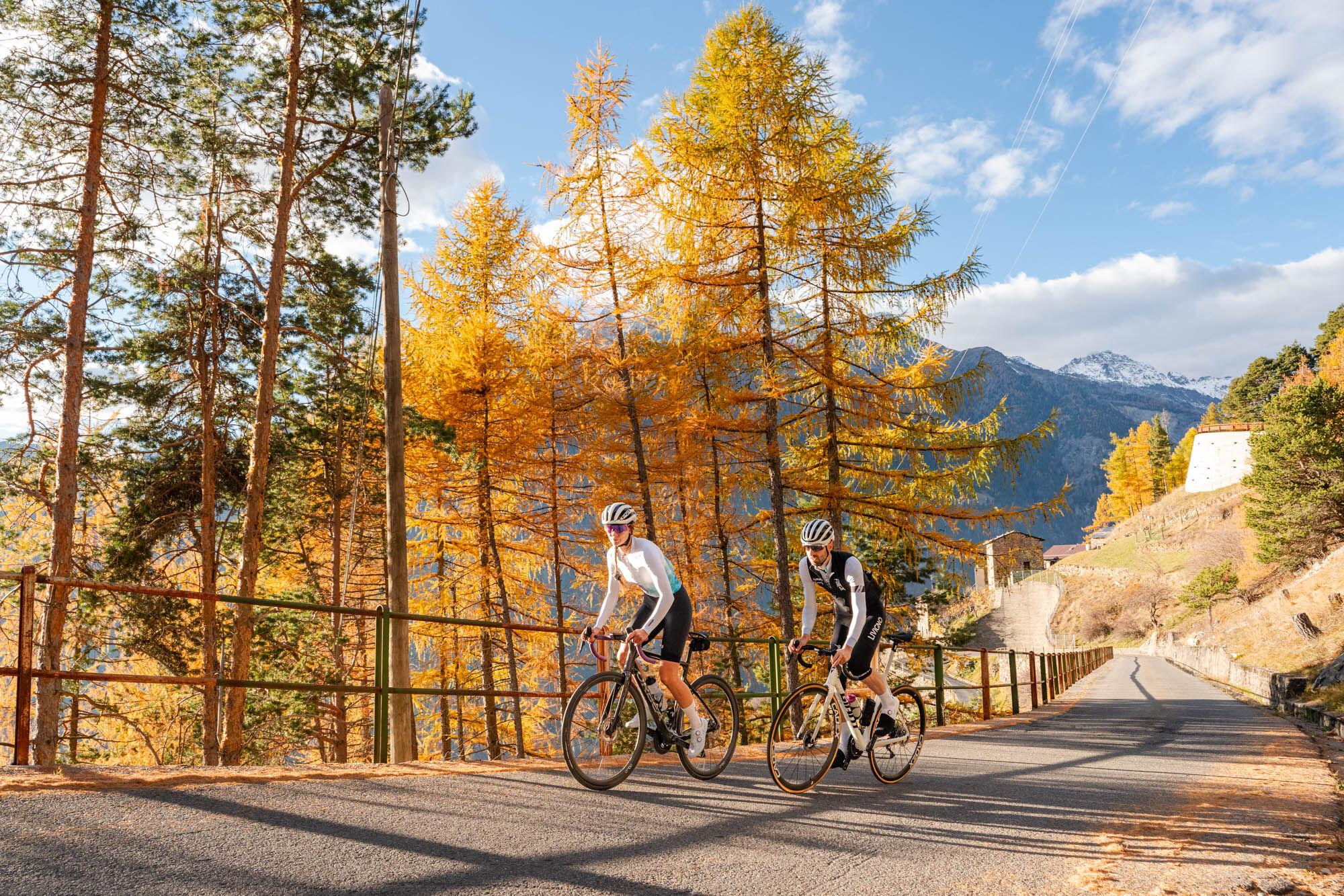
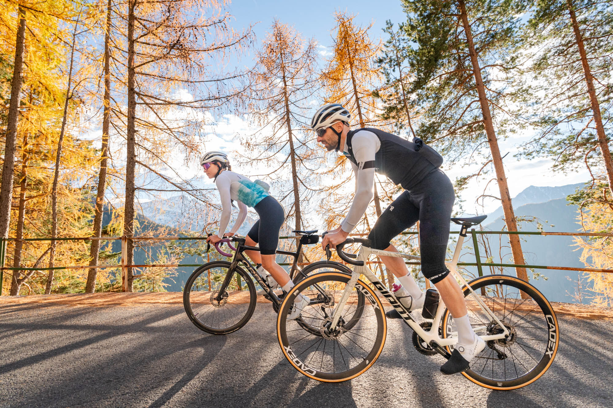
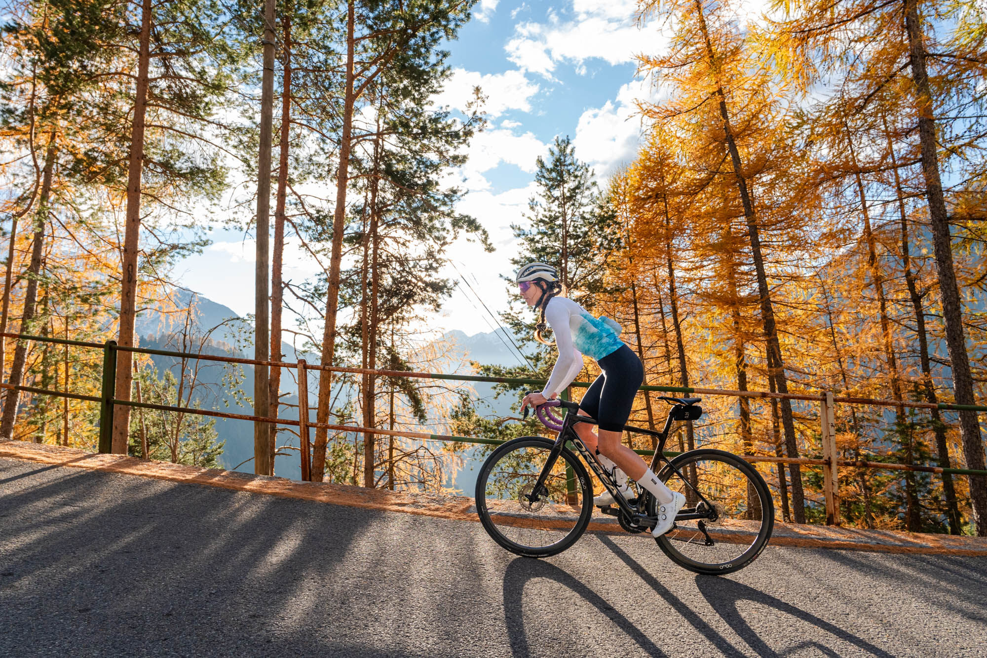

Stelvio Epic Rides is not a race but a challenge with yourself and an opportunity to explore the territory.
It is aimed at cyclists with road bikes, e-bikes, gravel bikes, and mountain bikes, with no exclusions.
Road Bikes: Not too extreme gears, but still agile enough for steeper gradients (compact 50/34 with 11-28/30 at the rear).
MTB/Gravel: Great for stability and comfort, also allowing you to explore some trails nearby.
E-bike: Perfect for a pleasant ride accessible to everyone, ideal for a relaxing afternoon.
Clothing: Standard cycling clothing for climbs.
Narrow Road: The road is narrow in places, be careful of local traffic (although usually light).
Characteristic Village: Fumero is a small alpine village worth a short stop to admire the houses and local architecture.
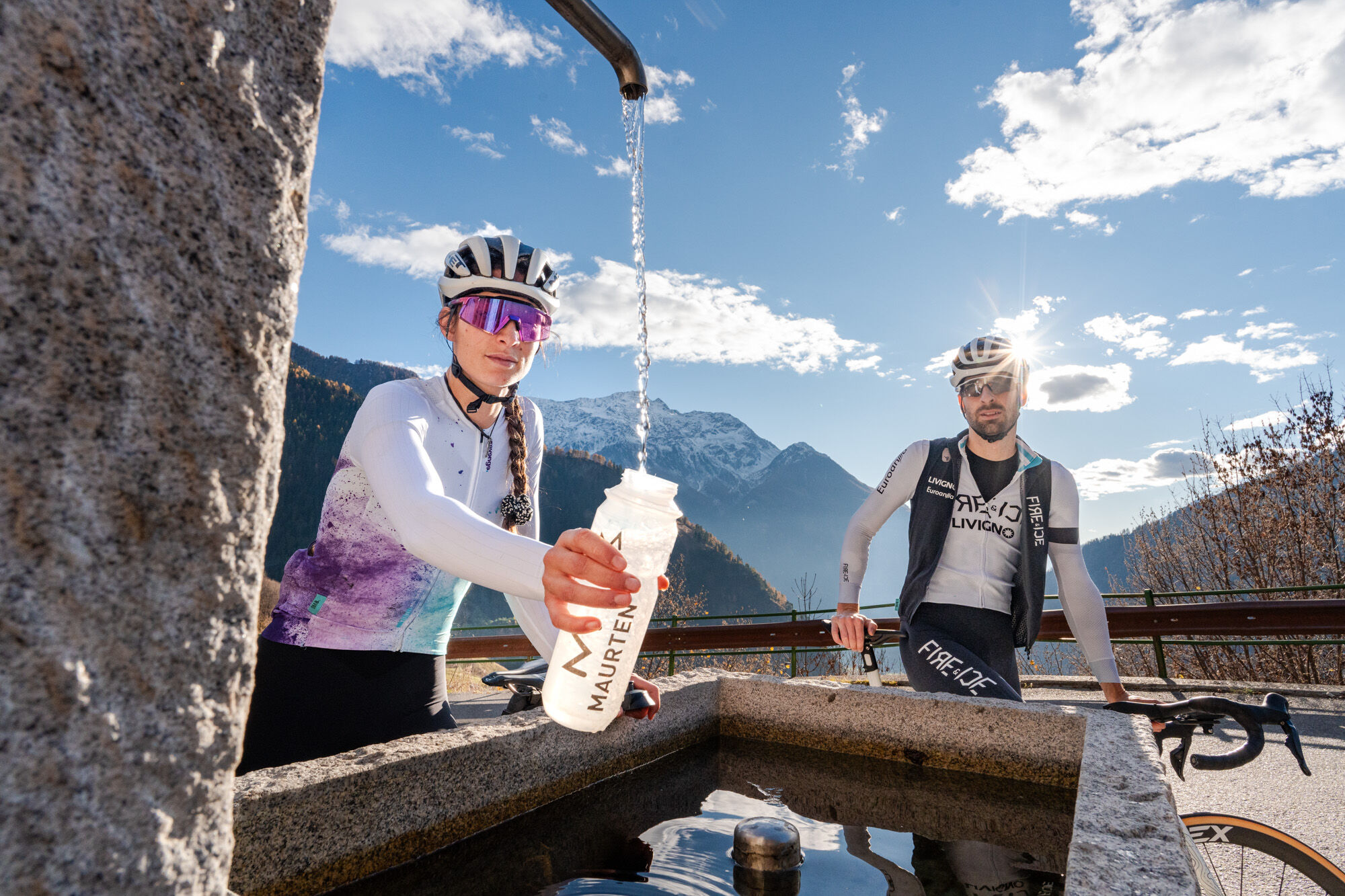
Water: There are not many supply points. Start with full water bottles.
Le Prese is reachable from Bormio directly by bike following the SP27, passing through Cepina, Valdisotto, and is about 15 km away (with a negative elevation of 270 meters, to consider for the return, facing the famous Frana climb)
Bormio - Le Prese is a bus route between Bormio and Tirano, check schedules and routes at: https://www.busperego.com/
For those who want to park their car directly at Le Prese and face the Fumero climb, there is a convenient public parking lot before crossing the Adda bridge (where there is also a fountain).
3
The basic idea of STELVIO EPIC RIDES is to challenge cyclists from all over the world to climb the 3 iconic passes of our territory - Stelvio, Gavia, and Mortirolo - during the pass opening season.
This main challenge is complemented by the challenge of riding the 7 unexplored climbs* which correspond to “The great climbs” of the Alta Valle Mountain Community.
Not a race, but a challenge meant to become an inclusive initiative, encouraging you to test yourself on one of the most representative terrains of world cycling, retracing the roads ridden by great cycling champions, discovering unique places in Valtellina.
* Details of the 7 unexplored climbs:
Laghi di Cancano
Fumero
Monte
Forte di Oga
Bormio 2000
Strada dei Forni
Passo Forcola
Perfect for a midweek training session or to warm up your legs before more demanding climbs. Don't underestimate the gradients, even if short, it will make you sweat!
Popularne wycieczki w okolicy
-
4,0
Ortler Höhenweg
ciężkiWycieczka wysokogórska 123,2 km -
3,0
Transalp: St. Anton/ Arlberg nach Riva
ciężkiMountainbike 277,3 km -
Stelvio Epic Rides: Passo Gavia
ciężkiDroga rowerowa 25,8 km -
4,0
Adamello - Val Grande - Biwak
średniE-MTB 22,8 km -
5,0
On the slopes of the Reit to admire Bormio from above
średniWędrówka 10,4 km -
St. Columba Horn
średniWycieczka narciarska 8,20 km -
Cima Piazzi - Val Lia
średniWycieczka narciarska 11,1 km -
5,0
Stelvio Epic Rides: Forni climb
średniDroga rowerowa 4,93 km -
5,0
Case di Viso
światłoWędrówka 8,90 km -
5,0
Stelvio Family Trek: Isola Park in Valfurva
światłoWędrówka 3,60 km
Wędrówki i tropienie


Nie przegap ofert i inspiracji na następne wakacje
Twój adres e-mail została dodana do listy mailingowej.





