







Stelvio E-Bike Tour: Valfurva – Ponte Tre Croci – Pedemontana Bike Path

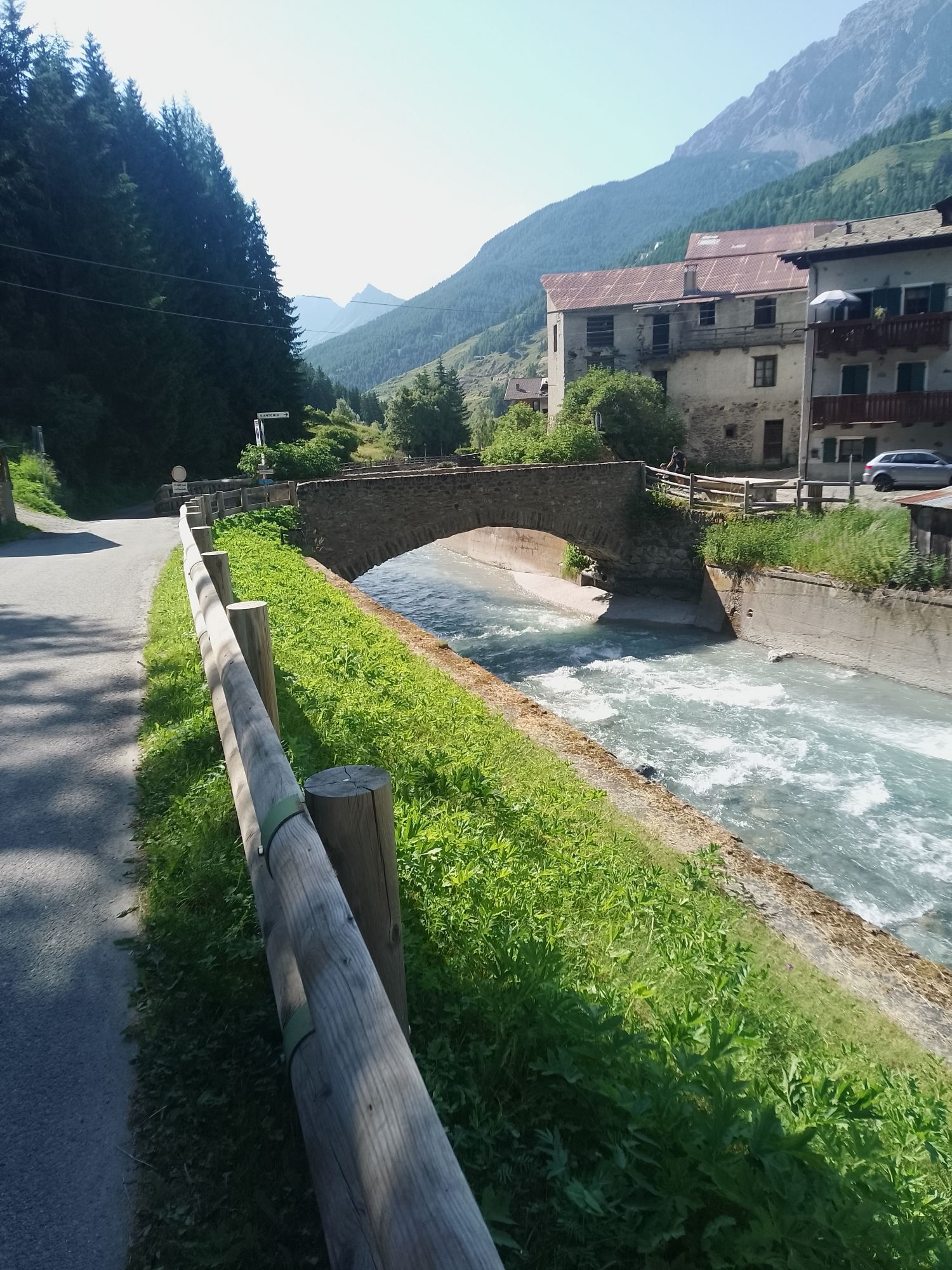
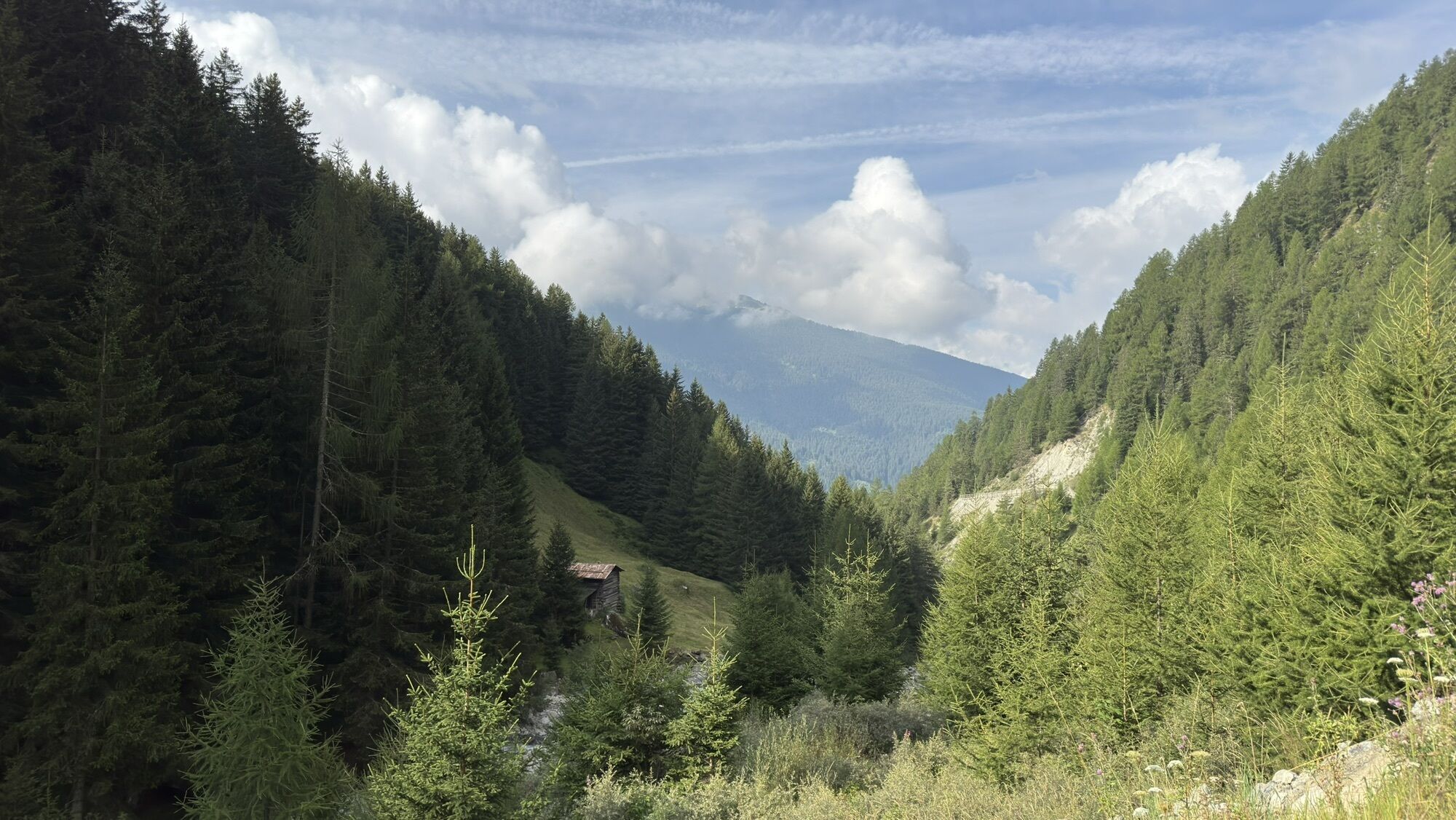
A scenic and rewarding e-bike tour that starts in Bormio and initially follows the Valfurva bike path—one of the most pleasant routes in the Upper Valtellina—nestled among meadows, forests, and views of...
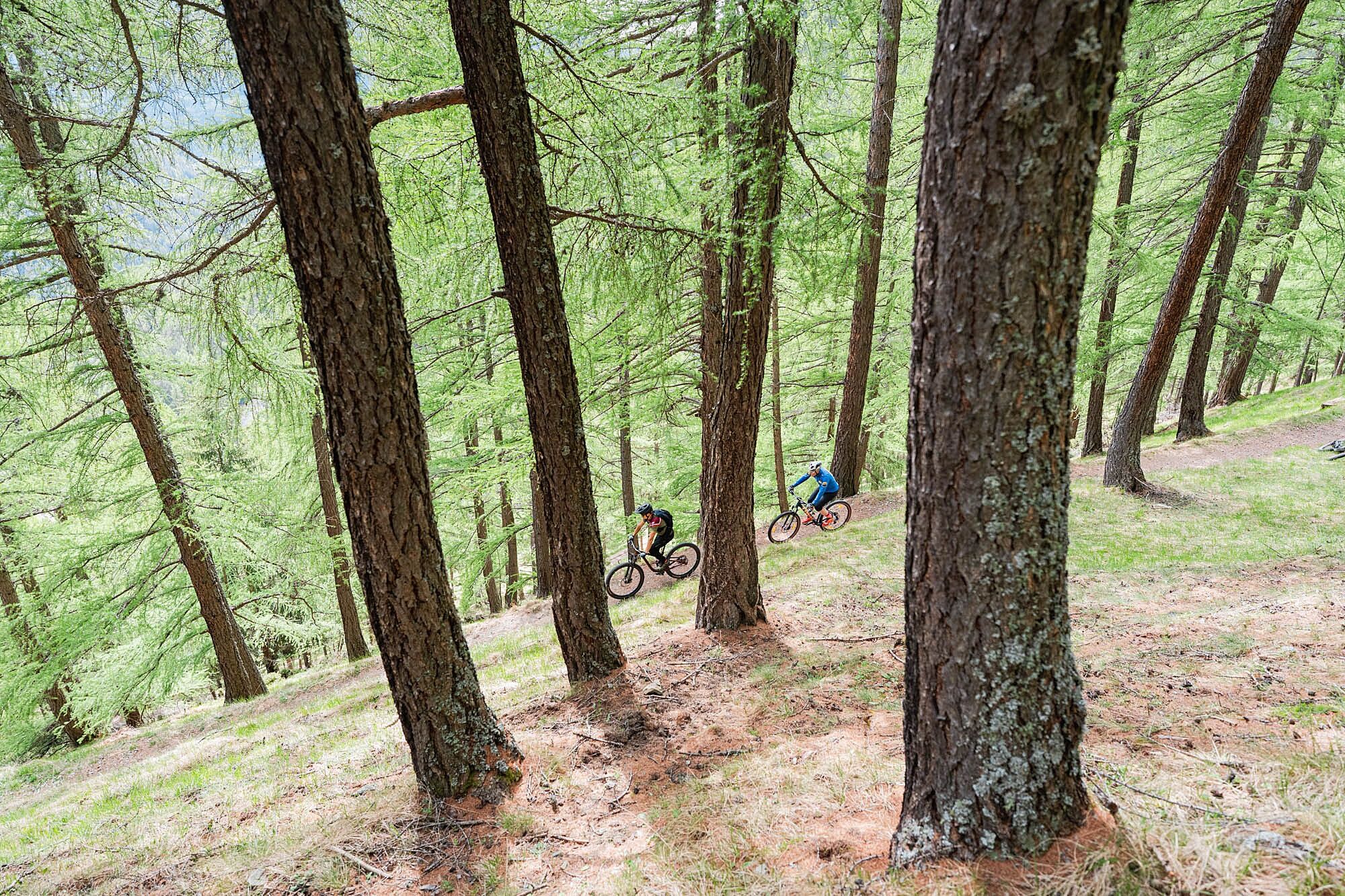
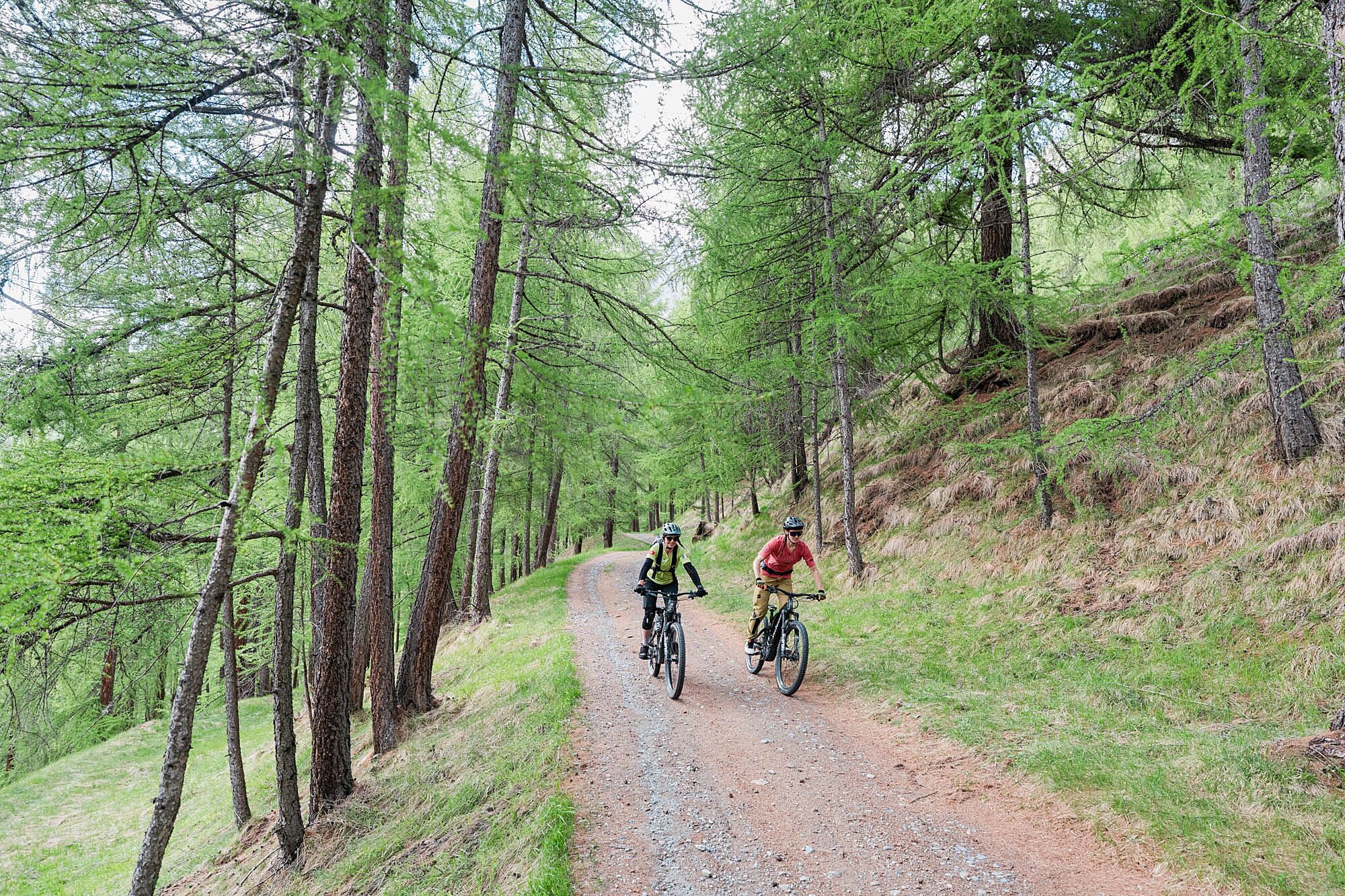
After the initial stretch on the bike path, the route continues toward Ponte Tre Croci and reaches the spectacular Pedemontana della Reit, one of the most scenic forest roads in the Bormio area. This historic route runs halfway up the southern slope of Monte Reit and offers continuous panoramic views of the Bormio basin, the Valfurva, and the surrounding mountains. The ride takes place mainly on wide, smooth dirt and forest roads, alternating between gentle climbs and long traverses through larch forests.
The route passes through a wide variety of landscapes: from the meadows of Valfurva to the wooded areas of the Uzza Valley, all the way to sections built on the old military roads from World War I. The route remains easy to ride throughout and does not feature any technical or exposed sections, making it ideal for e-bike riders with a reasonable level of fitness who wish to experience the mountains without tackling challenging trails.
The return to Bormio follows scenic dirt roads and forest trails that allow you to continue enjoying the views of the “Magnifica Terra” and the peaks of the Stelvio National Park. A well-rounded excursion that combines nature, history, panoramic views, and cycling fun—perfect for those seeking a physically accessible route that’s rich in alpine charm.
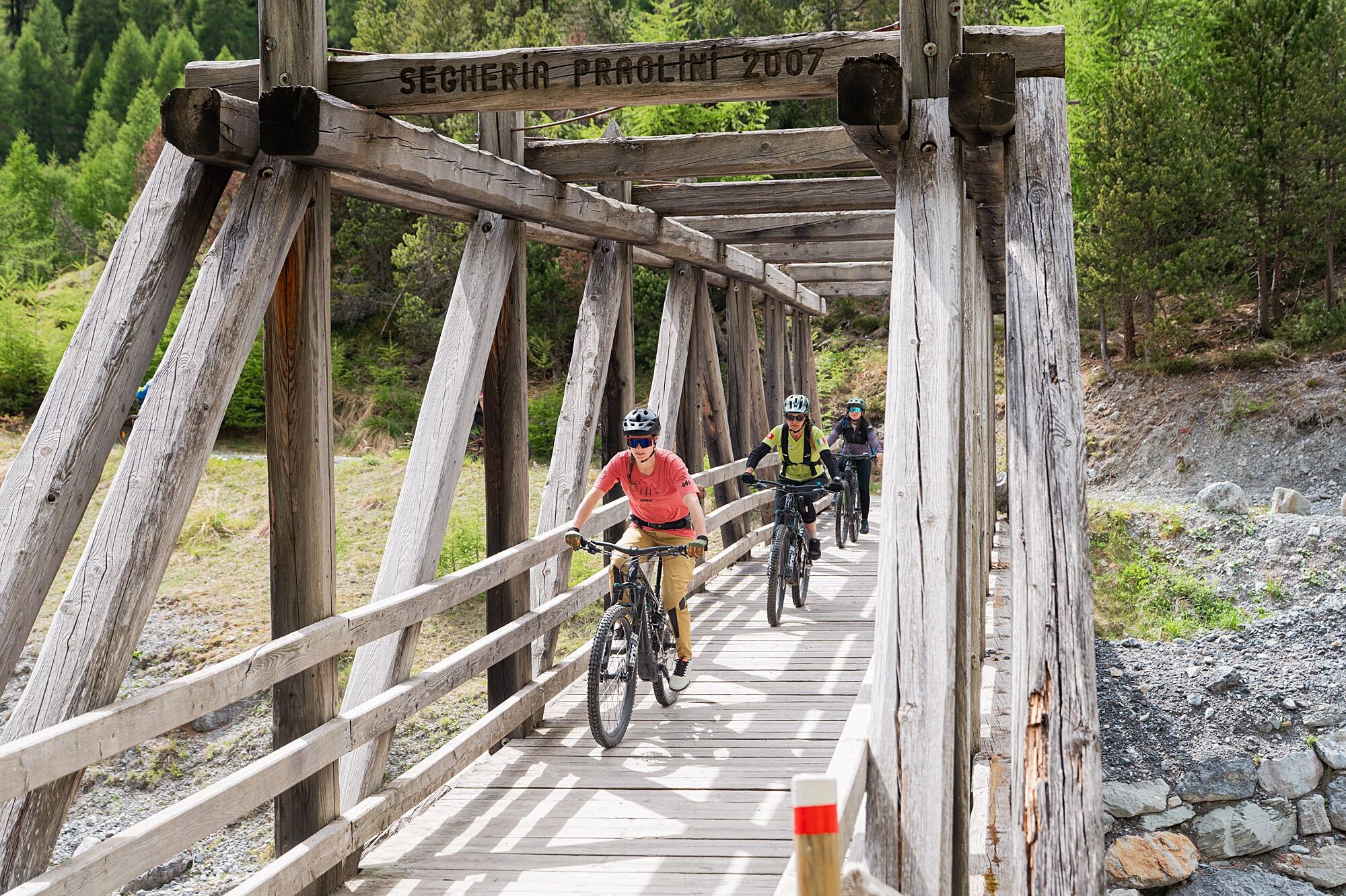
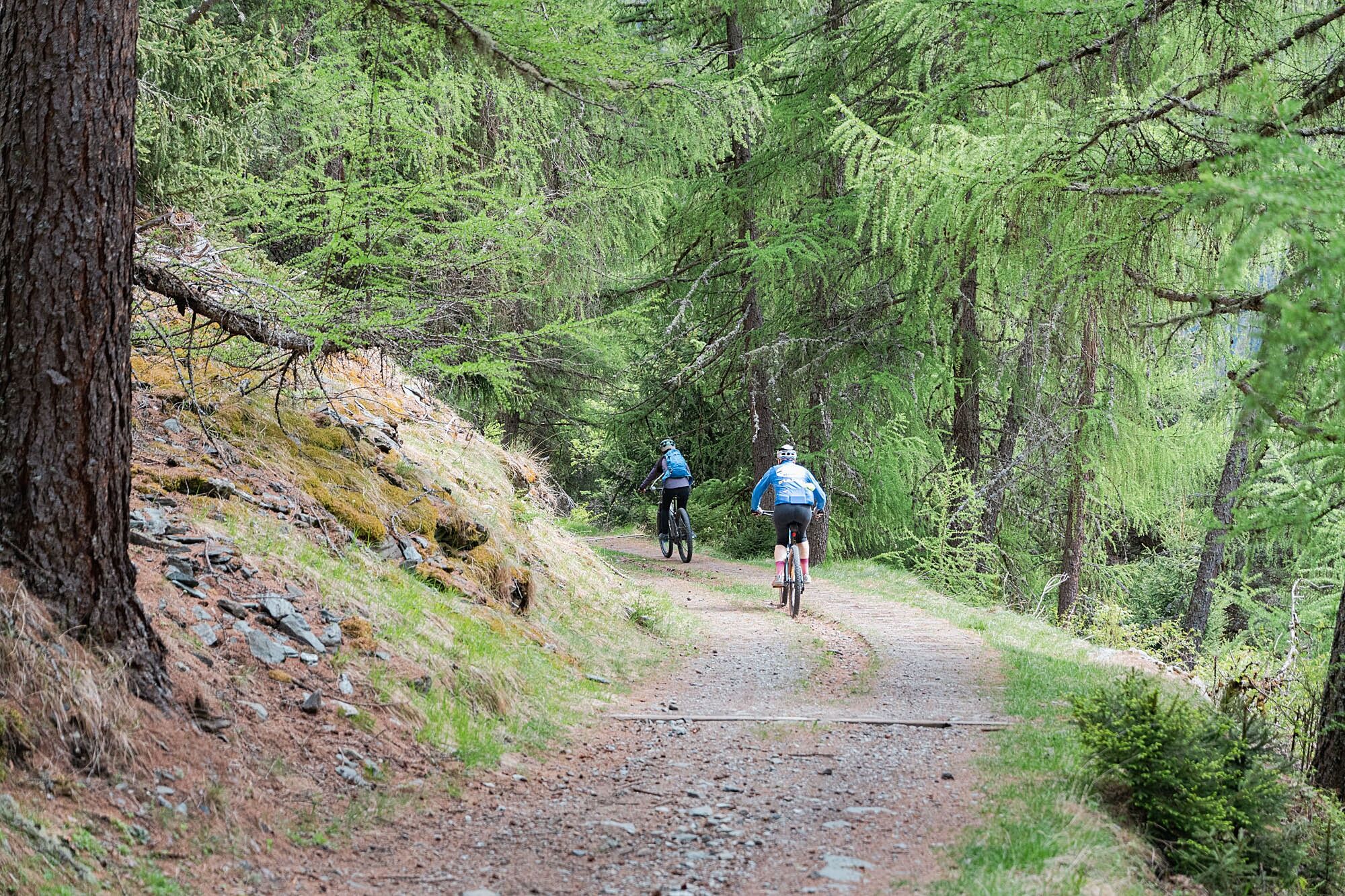
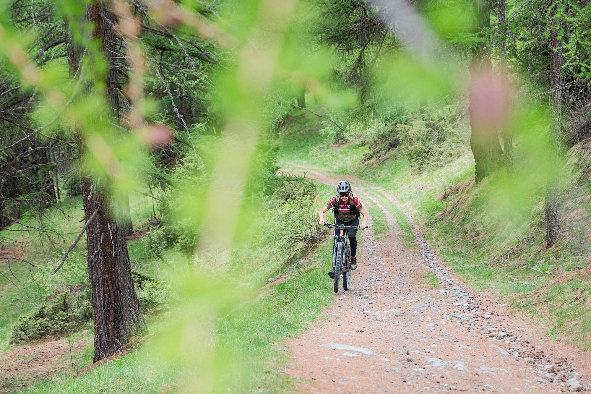

Take the bike path toward Valfurva.
Continue along the bike path until you reach the Ponte Tre Croci area.
Follow the signs for the Pedemontana della Reit.
Take the scenic forest road that crosses the slope of Monte Reit.
Continue along the switchbacks through the larch and Scots pine forests.
Cross the Valle di Uzza area, following the main road.
Continue on the dirt roads and old military roads that characterize the route.
Head back toward the Bormio basin, following the signs for the Pedemontana.
Travel along the final stretches of dirt and forest roads until you reach the connection with the valley floor road network.
Return to Bormio and complete the loop in the historic center.
Helmet required.
Repair kit with inner tube, pump, and multitool.
Fully charged battery.
Smartphone with GPS tracking or dedicated navigation device.
Lightweight windbreaker or rain jacket.
Gloves and protective eyewear.
Water and energy snacks.
Technical layered clothing suitable for the altitude.
Exercise caution on dirt sections after recent rain, as the surface may be slippery.
Reduce your speed on descents and in areas shared with hikers and other cyclists.
Always check the weather conditions before setting out, especially in spring and fall.
Bring enough water, as some forest sections are quite long and isolated.
Obey the signage in the Stelvio National Park and stay on authorized trails.
From Bormio, you can reach Valfurva by following Provincial Road 29 toward Santa Caterina Valfurva. The road passes through the valley’s main towns and provides easy access to the various starting points of the trails.
Before departing, we recommend checking the most recent public transportation schedules, which may vary depending on the season.
lots
and parking areas are available near residential areas and access points to the main trails.Availability may vary depending on the season and the number of visitors; for some trails, it is therefore advisable to check the specific instructions for the trailhead in advance.
Use a medium-assistance mode to maximize battery life throughout the entire loop.
Setting out early in the day allows you to enjoy more pleasant temperatures and the best light for the views.
The route is particularly well-suited for those seeking a scenic ride without tackling technical trails.
In summer, it’s advisable to bring an adequate supply of water and sunscreen.
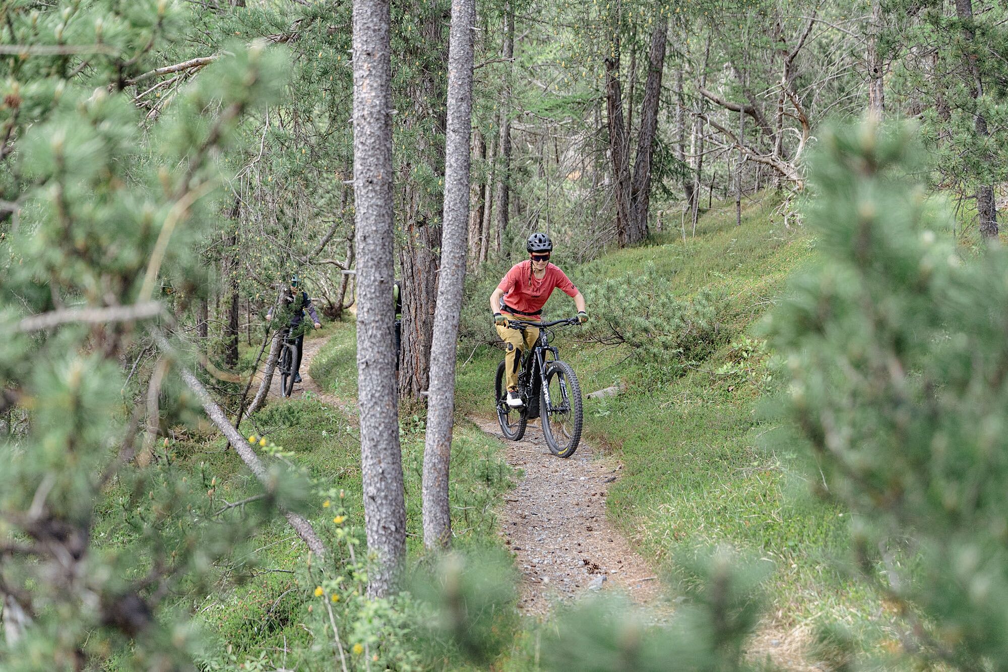
Along the way, you’ll encounter a wide variety of natural environments, from larch forests to the more open areas typical of the Valtellina’s mid-mountain region.
Stop at the scenic overlooks along the route to admire the Valfurva and the Stelvio Mountains.
Bring a camera: the larch forests and views of the valley offer particularly picturesque scenes.
In the fall, the route offers spectacular colors as the larch forests turn shades of yellow and gold.
Plan a stop at the scenic overlooks along the Pedemontana for a break surrounded by nature.
Kamery internetowe z trasy

Popularne wycieczki w okolicy
-
3,7
Payerhütte 3020m
Wędrówka 6,98 km -
4,4
Sonnenaufgang auf der Rötelspitze im Nationalpark Stilfserjoch
Wędrówka 2,02 km -
5,0
Wanderung/Aufstieg zur Payerhütte
światłoWędrówka 15,9 km -
5,0
Ortler über Meraner Weg (vom Tal/Trafoi)
ciężkiWycieczka wysokogórska 11,9 km -
4,5
Ortler – Normalweg
ciężkiWycieczka wysokogórska 7,30 km -
5,0
Ortler über Hintergrat
ciężkiWycieczka wysokogórska 8,03 km -
3,5
Watervallen wandeling
światłoWędrówka 4,95 km -
4,7
Suldenspitze
światłoWycieczka wysokogórska 7,69 km -
4,8
Wanderung: Heilige drei Brunnen zur Berglhütte
światłoWędrówka 5,51 km -
3,4
Sta.Maria, Prà da Vau - Lai da Rims - Alp Sot - Prà da Vau
ciężkiWędrówka 14,7 km
Wędrówki i tropienie


Nie przegap ofert i inspiracji na następne wakacje
Twój adres e-mail została dodana do listy mailingowej.





