







MTB route: Cancano - Acqua del Gallo - Val Mora

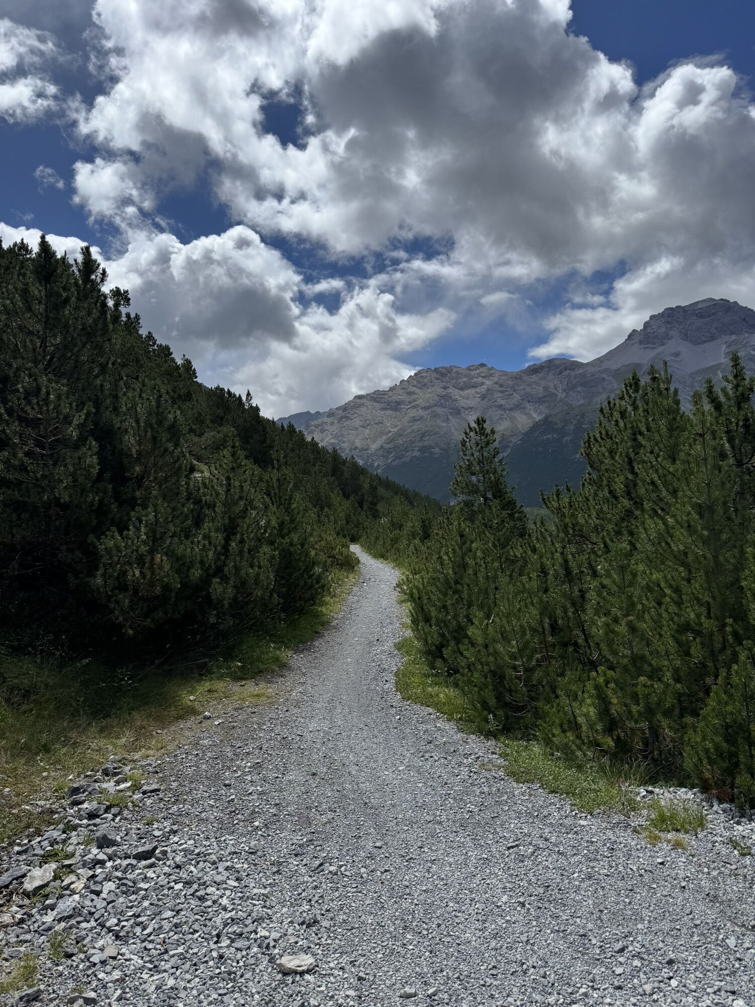
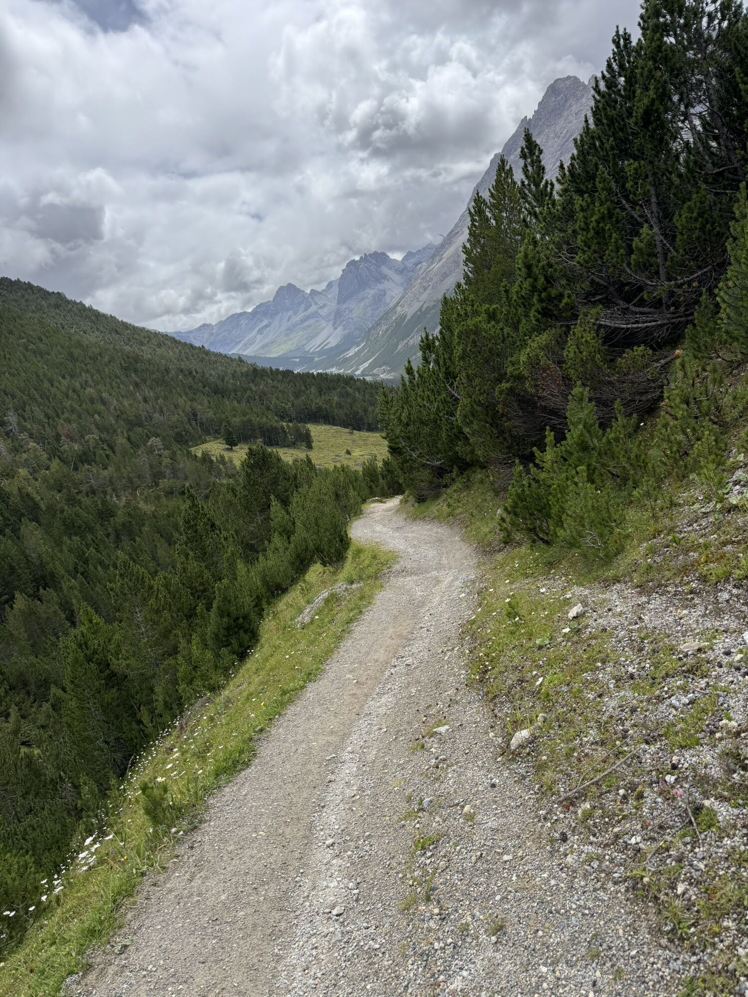
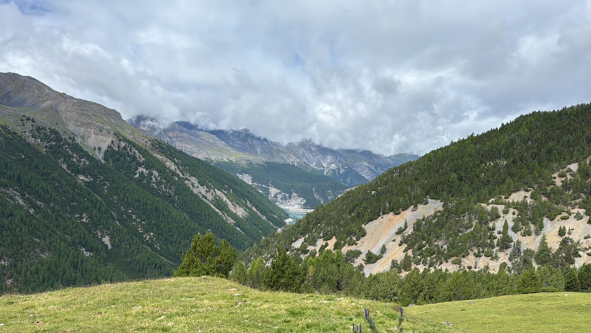
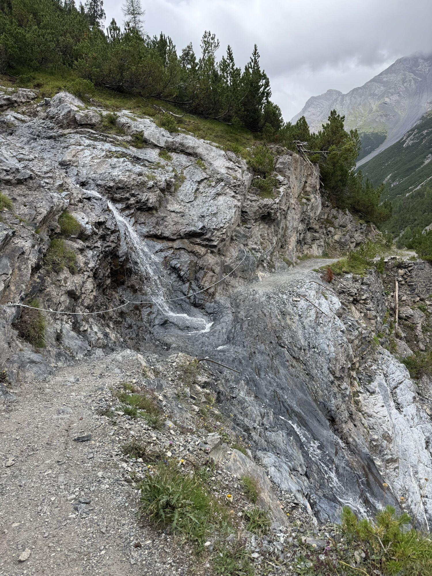
The start is from the parking lot of San Giacomo di Fraele 1952 m at the end of the Cancano lakes following dirt road no. 182 northward with a slight descent. At Acqua del Gallo 1925 m there is a right...
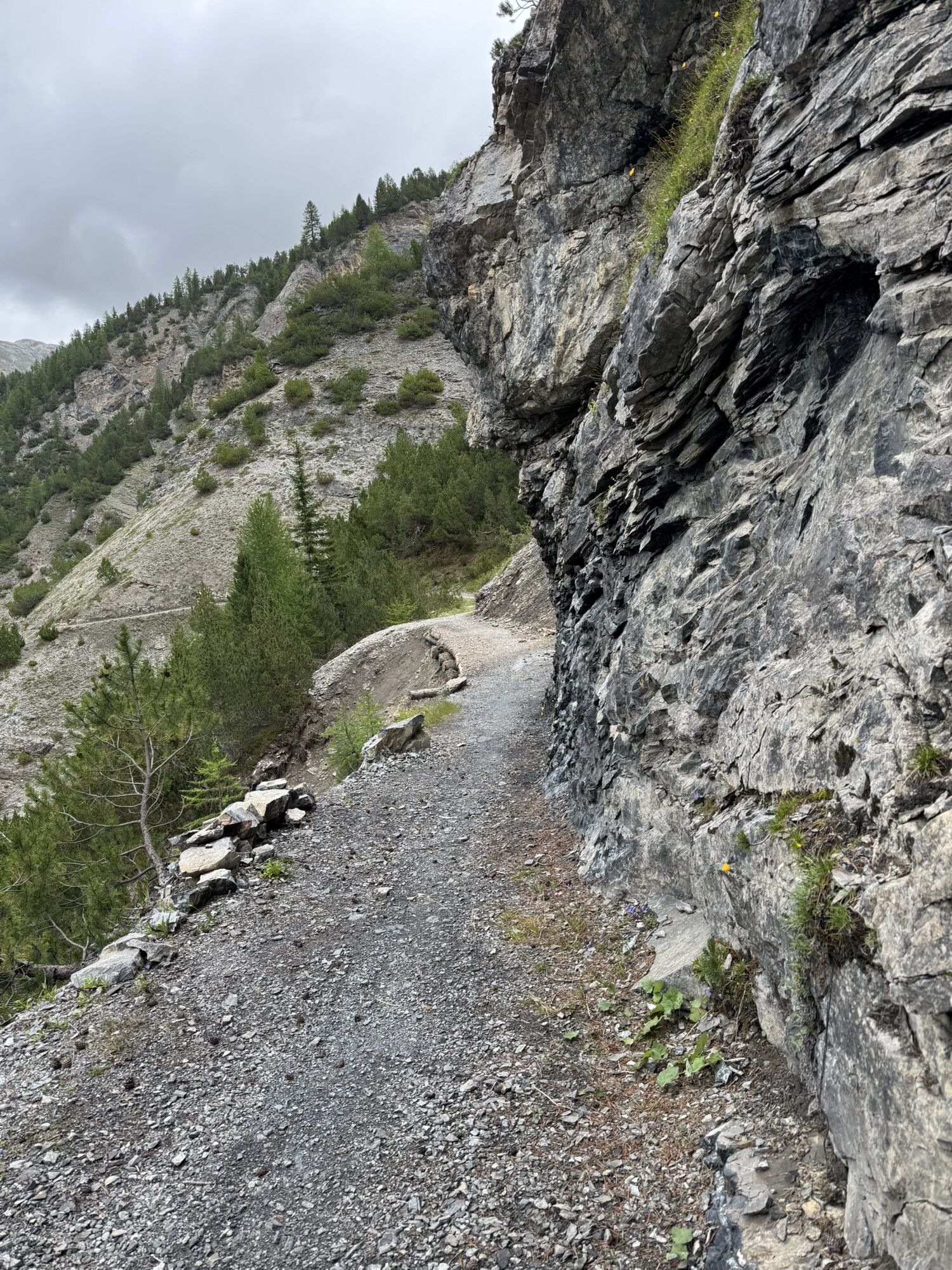
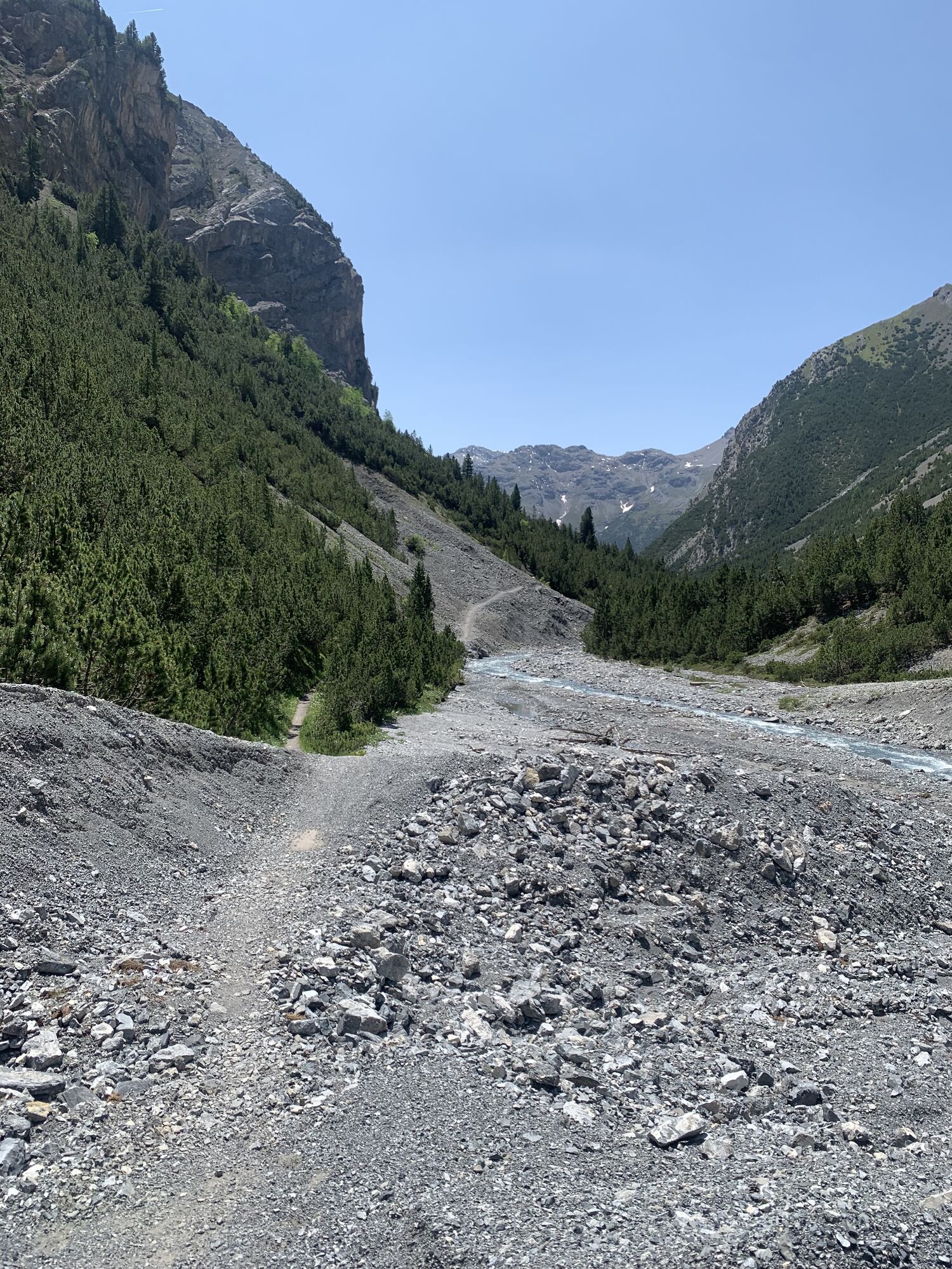
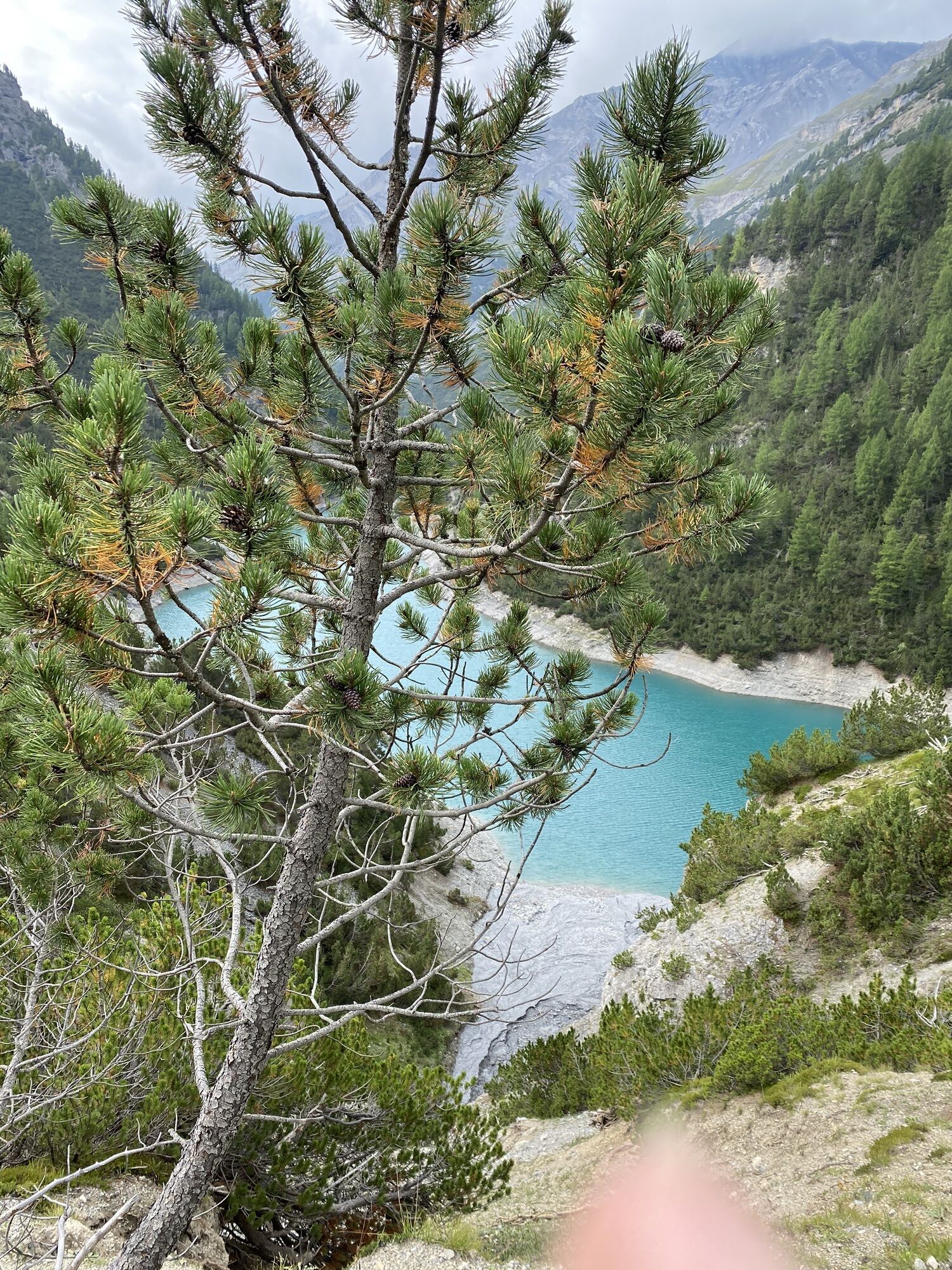
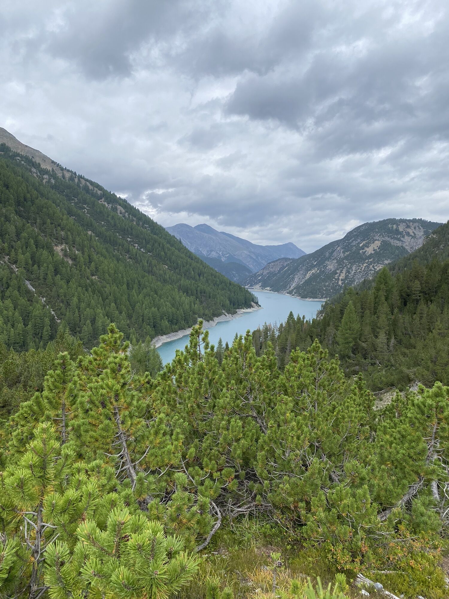
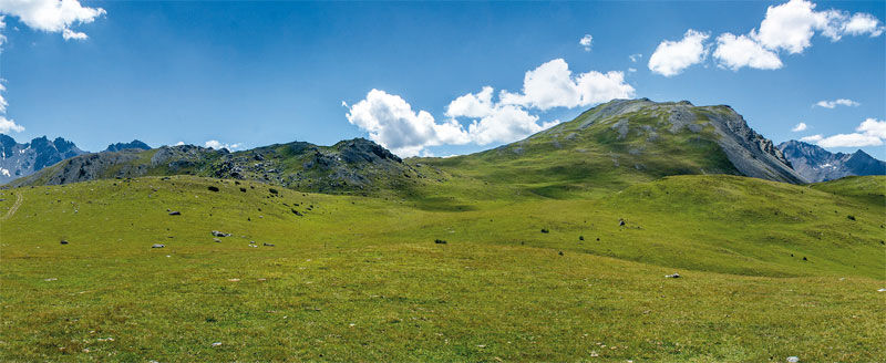
The start is from the parking lot of San Giacomo di Fraele 1952 m at the end of the Cancano lakes following dirt road no. 182 northward with a slight descent. At Acqua del Gallo 1925 m there is a right fork towards Switzerland allowing the same route in reverse. Instead, we go left uphill towards Val Bruna then descend to Grasso di Pra' Grata 1889 m and the bridge over the river at 1860 m, after which begins the long traverse towards Lake Livigno. Above the lake, the track becomes a narrow path that crosses the steep scree slopes flanking the reservoir: caution. After passing the last steep small valleys, the real climb begins with numerous hairpin bends. It climbs steadily on the soft path among dwarf pines up to the wide Forcola del Gallo 2280 m and then, now in Switzerland, to Doss del Termel 2318 m. From here begins the descent on a very steep and uneven path that requires technique and concentration for about 200 m of elevation difference. You then reach Alp Mora 2084 m where the dirt road starts descending southeast into the homonymous valley. At 2062 m at a right fork we turn back northwest and reach Passo di Val Mora 1934 m and San Giacomo di Fraele, first on a wide road then on a path that is flat but also narrow and technically demanding. N.B. If motor vehicles are prohibited on the stretch connecting Cancano and San Giacomo di Fraele, these 8.7 km of dirt road must be added to be covered with our MTBs both on the outbound and return trips.
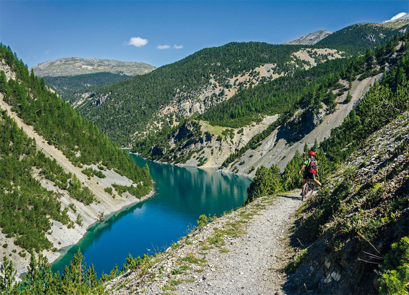
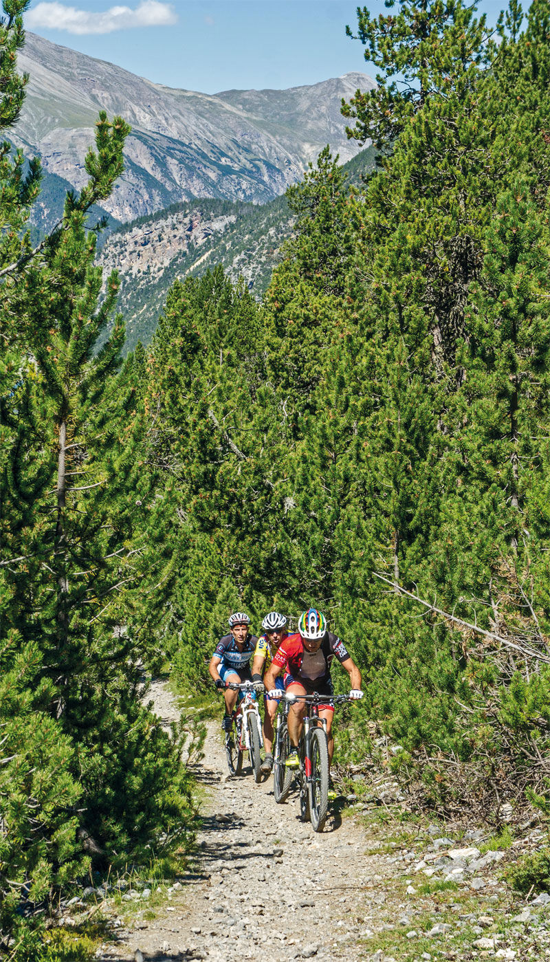
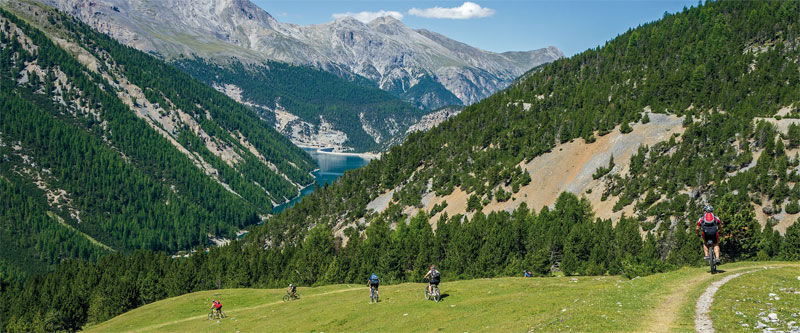
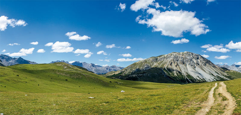
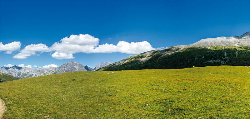
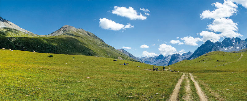

San Giacomo di Fraele, Passo di Fraele - Acqua del Gallo - Lake Livigno - Alpe del Gallo - Forcola del Gallo - Zollhaus - Doss del Termel - Alpe Mora - Val Mora - Passo di Val Mora - San Giacomo di Fraele
MTB (or EMTB)
Popularne wycieczki w okolicy
-
4,9
Circular hike Val Trupchun in the Swiss National Park
średniWędrówka 13,8 km -
4,5
National Park: Margunet
światłoWędrówka 7,76 km -
5,0
National Park: Chamanna Cluozza
średniWędrówka 8,37 km -
4,8
National Park: Grimmels (circular hike)
światłoWędrówka 6 km -
3,4
Sta.Maria, Prà da Vau - Lai da Rims - Alp Sot - Prà da Vau
ciężkiWędrówka 14,7 km -
5,0
Crap da la Pare' with Joëlette
światłoWędrówka 4,58 km -
4,2
Süsom Givè - Chaschlot - Valbella - Süsom Givè
średniWędrówka 9,73 km -
5,0
National Park: Murtaröl
ciężkiWędrówka 15,6 km -
4,8
Munt la Schera - Nationalpark
średniWędrówka 13,1 km -
5,0
National Park: Mot Tavrü
średniWędrówka 12,0 km
Wędrówki i tropienie


Nie przegap ofert i inspiracji na następne wakacje
Twój adres e-mail została dodana do listy mailingowej.





