


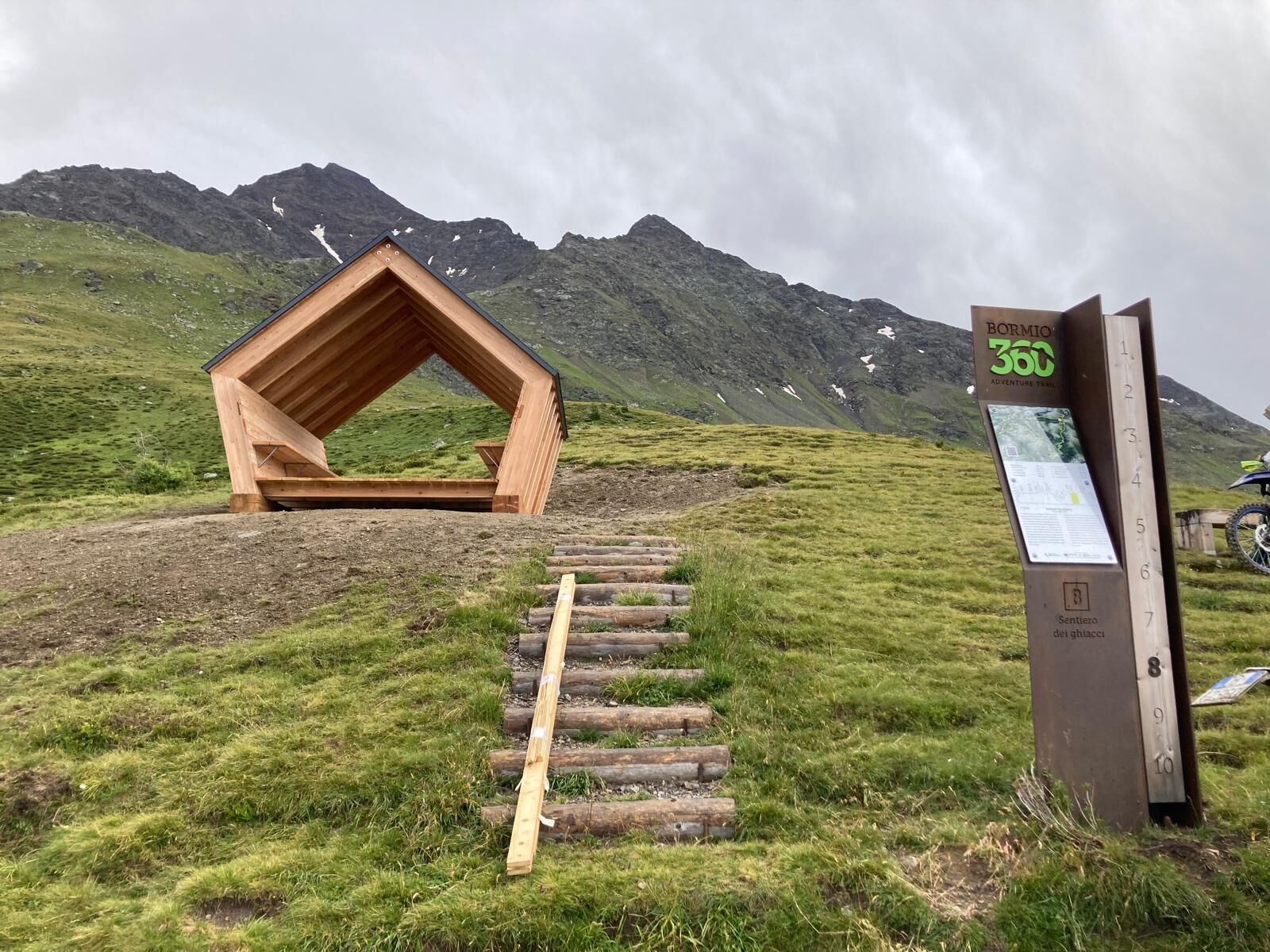
Bormio 360 Mountain Bike - Stage 8 - Ice Trail
Poziom trudności: S3
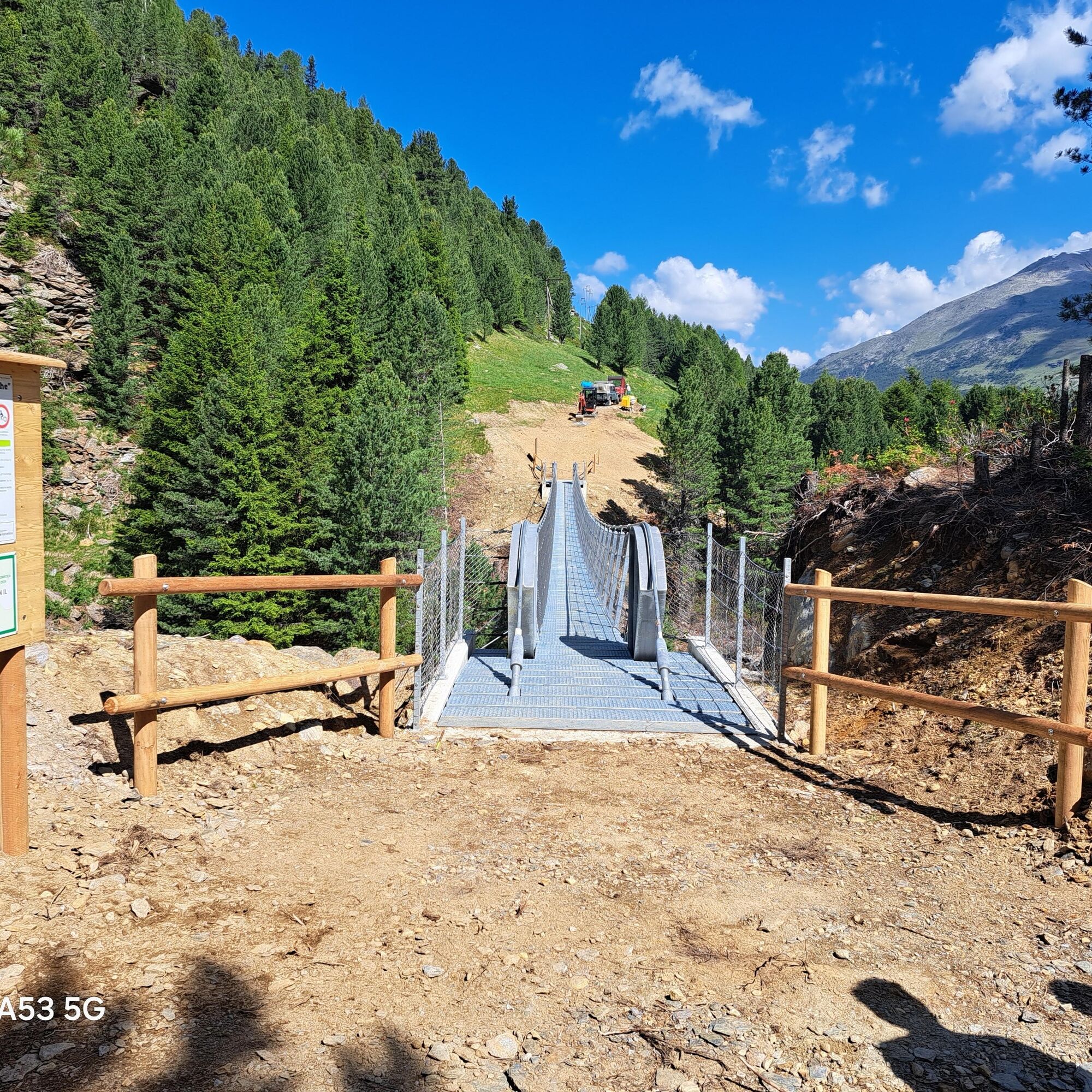
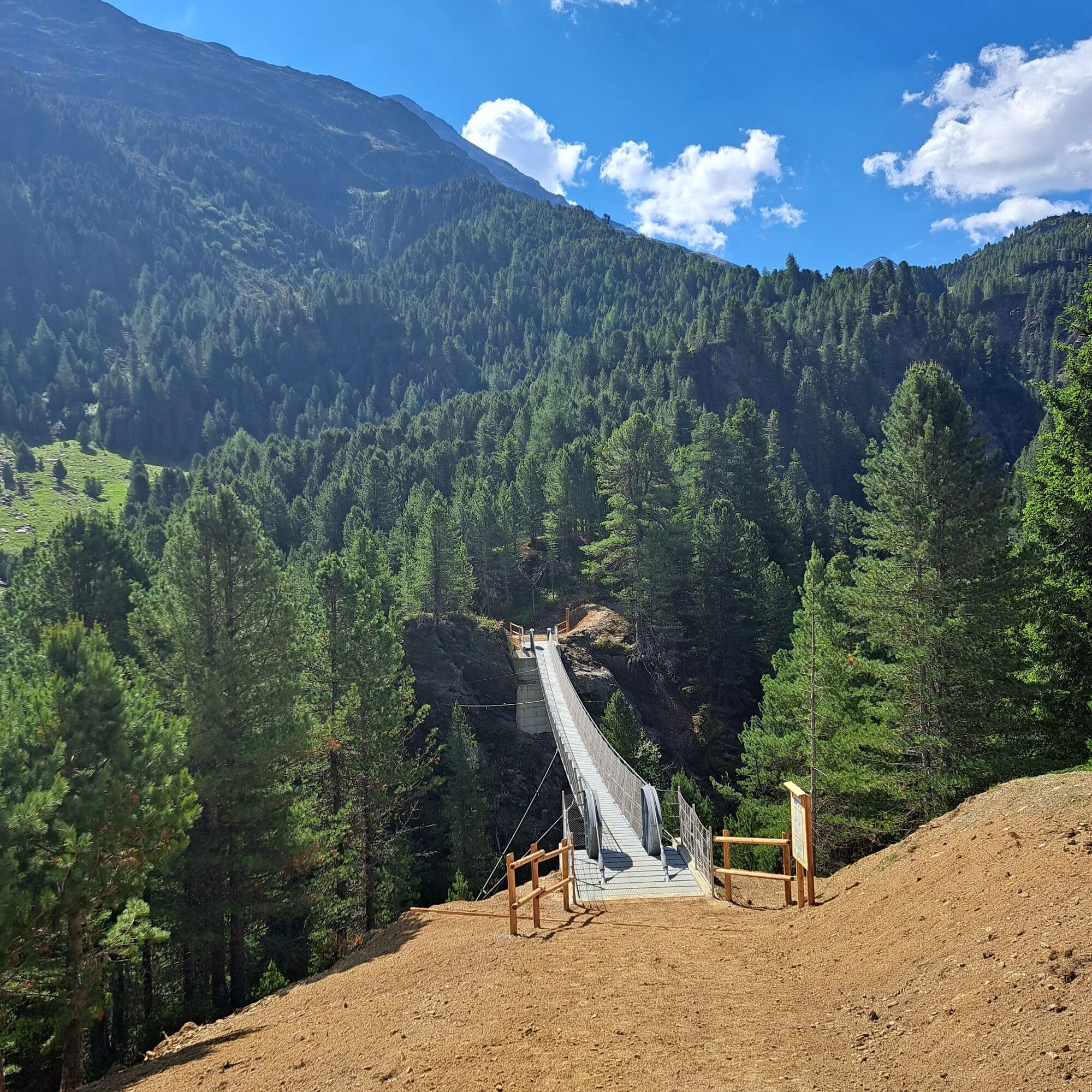
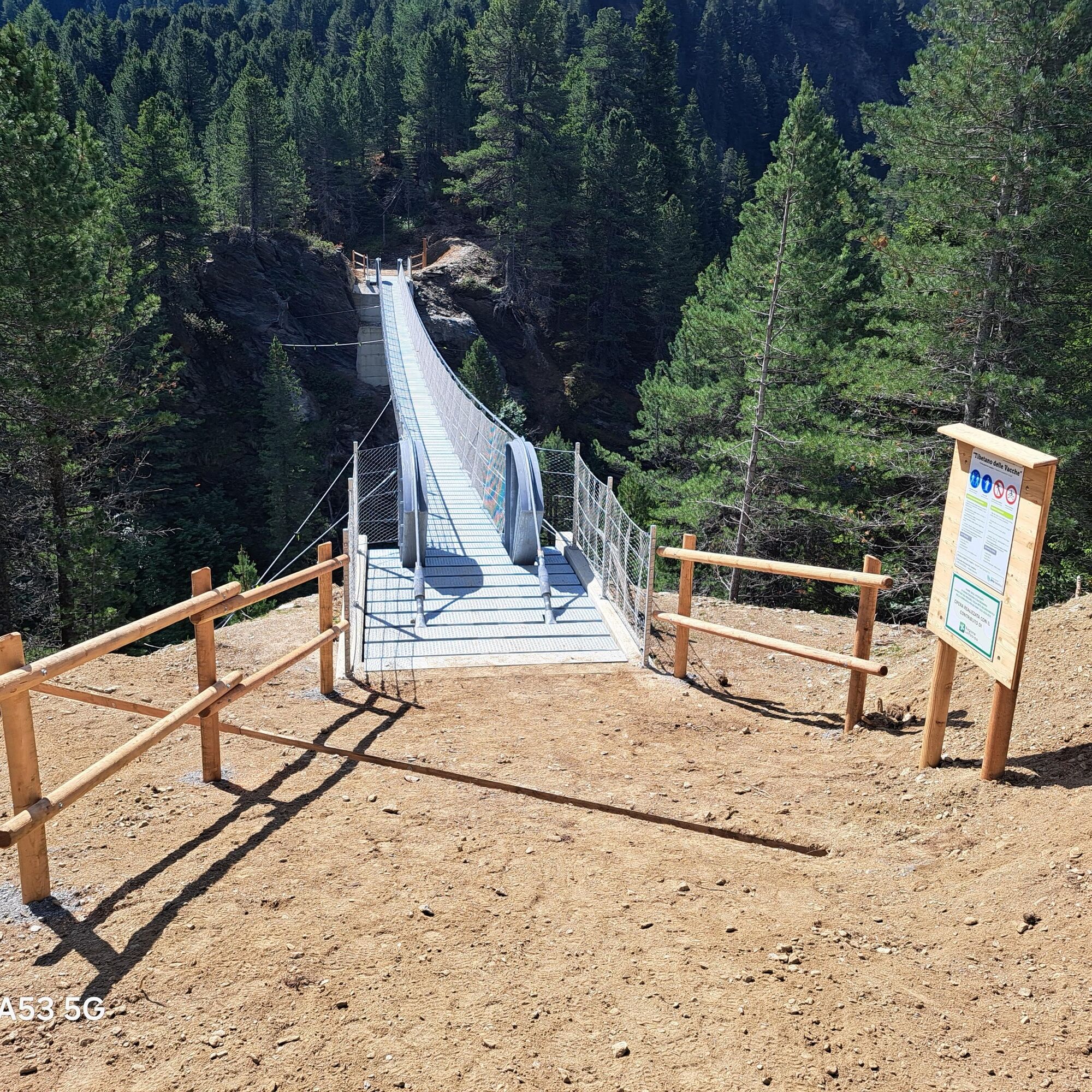
From the Malga dell'Alpe take the new S519 path that runs above the SS300 road from the Gavia Pass until you reach the unpaved road that takes you across the main road. From here head downhill along a...
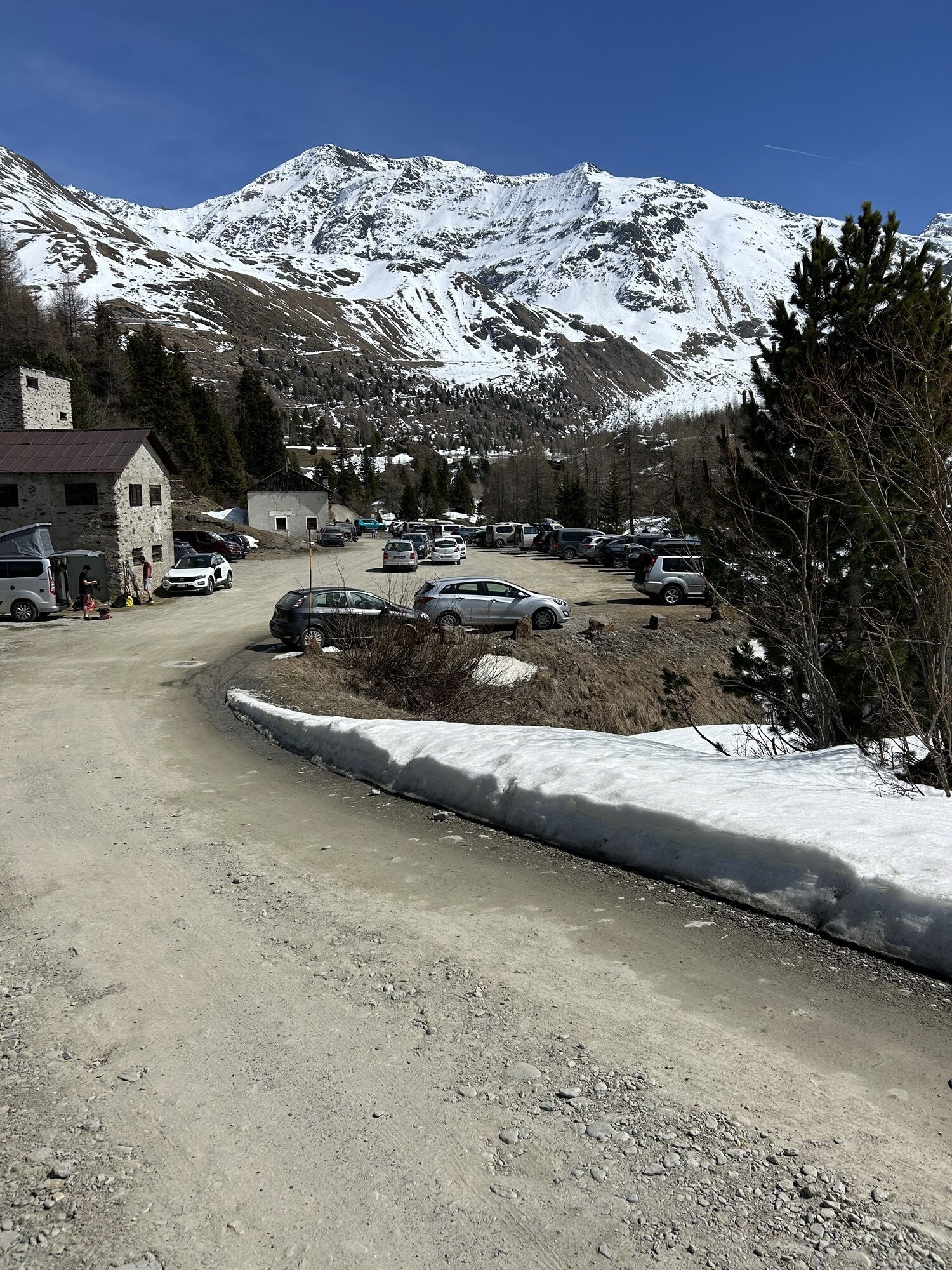
From the Malga dell'Alpe take the new S519 path that runs above the SS300 road from the Gavia Pass until you reach the unpaved road that takes you across the main road. From here head downhill along a winding path through the forest that leads to the Ponte delle Vacche bridge. From there head up the S561 path towards the disused Alpe Tresero, and continue on to Dosso Tresero where you can stop for a packed lunch and admire the sweeping views over Valfurva. Take the S525 path that leads first to the Alpe Cerena pastures, then on to the Stella Alpina refuge, which offers food and lodging. From here the route continues along a paved road to the Forni refuge.

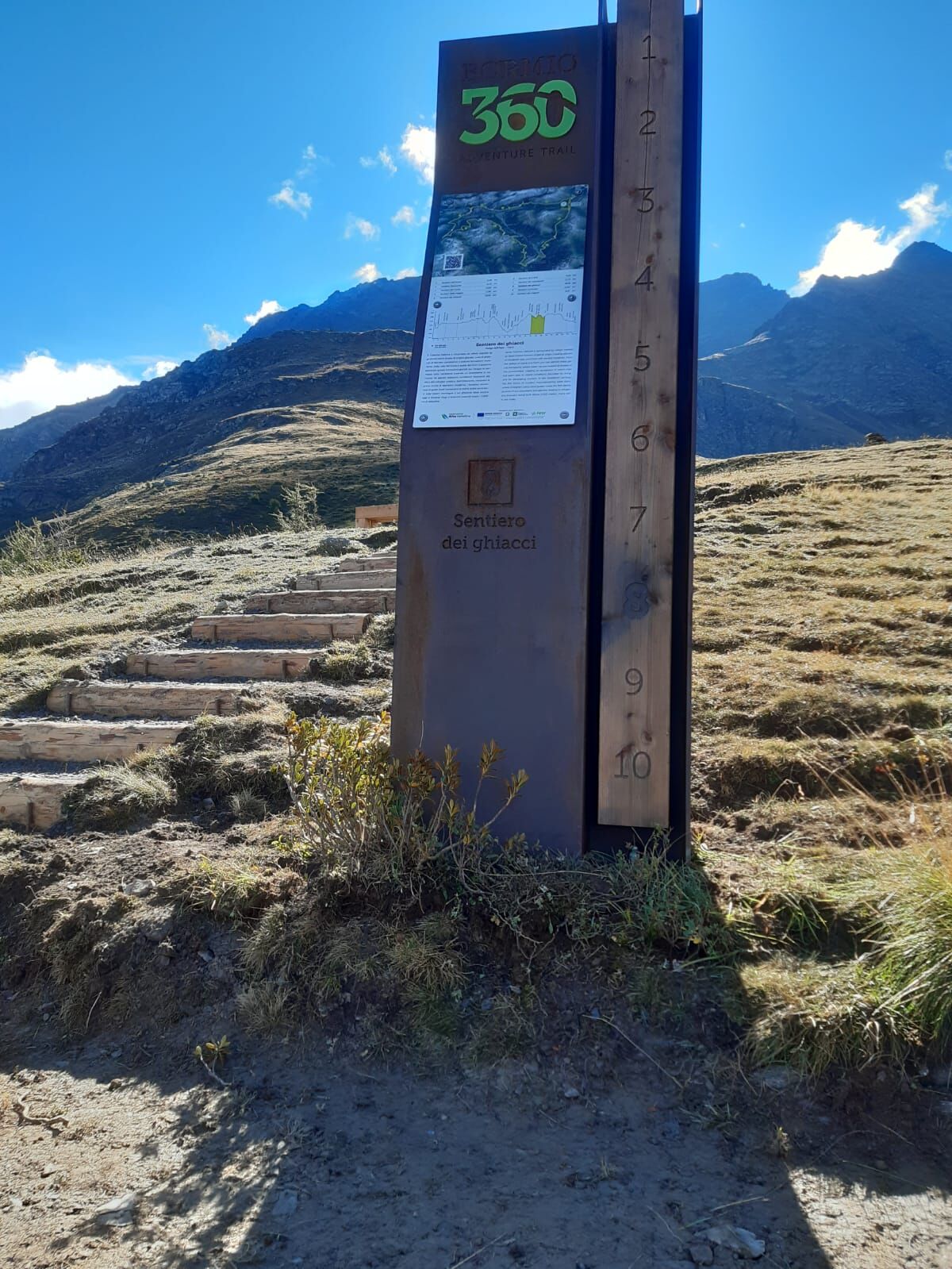
Malga dell'Alpe - Ponte delle Vacche - Alpe Tresero - Campec - Forni
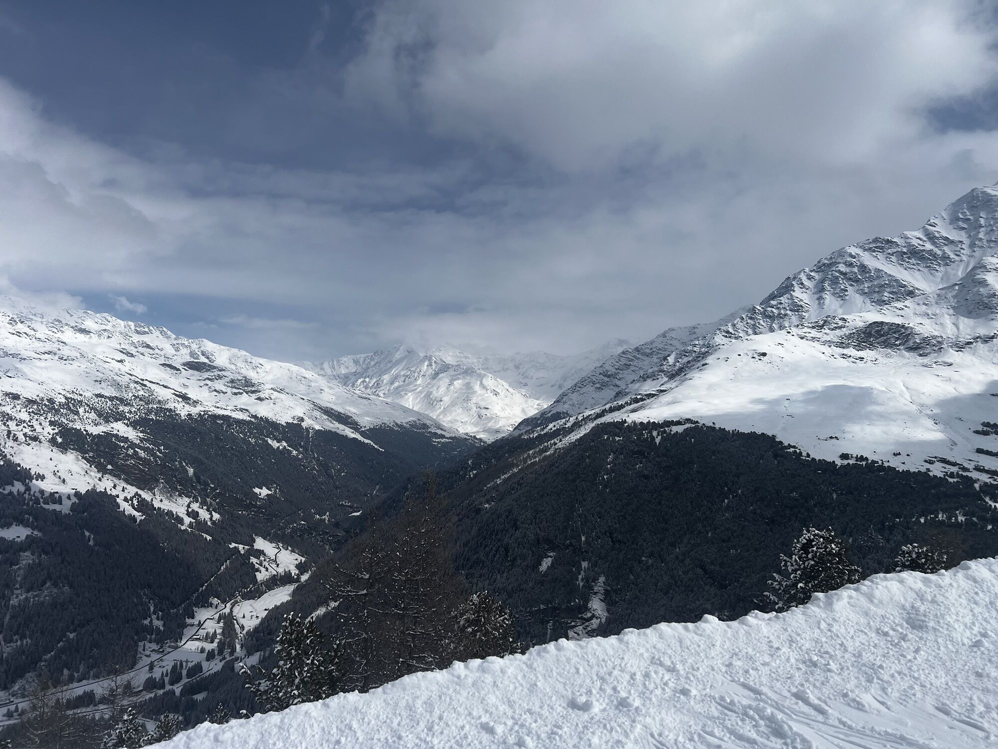
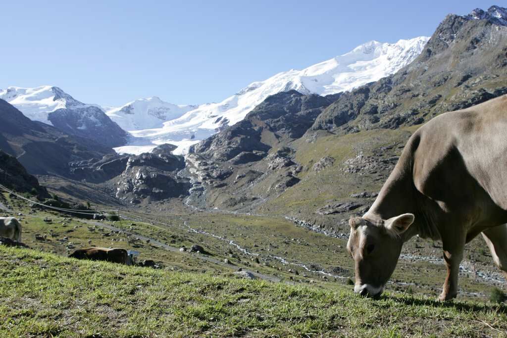
If covered on foot, it is an easy stage and very rewarding from a panoramic point of view. If covered by mountain bike (Ebike recommended), it is a technical stage, of medium-high difficulty (S3), not suitable for everyone. The section from Ponte delle vacche to Dosso Tresero is very steep, and can be ridden with a muscular bike. From Dosso Tresero to Cerena the stage is spectacular, but technical and with small exposed sections. But without a shadow of a doubt it is among the most spectacular.
S3
Popularne wycieczki w okolicy
-
4,5
Martellerhütte Höhenweg
średniWycieczka wysokogórska 8,70 km -
3,7
Payerhütte 3020m
Wędrówka 6,98 km -
3,7
Von Sulden zur Hinteren Schöntaufspitze
średniWędrówka 12,7 km -
5,0
Wanderung/Aufstieg zur Payerhütte
światłoWędrówka 15,9 km -
4,5
Obervinschgau - Madritschjoch, der höchste Transalp Übergang
Mountainbike 9,54 km -
4,3
Ortler – Normalweg
ciężkiWycieczka wysokogórska 7,30 km -
5,0
Pistenskitour zum Madritschjoch (3.123m)
światłoWycieczka narciarska 16,6 km -
Schaubachhütte 2694m
światłoWędrówka 3,63 km -
Hintergrathütte 2661m
Wędrówka 8,77 km -
1,0
Tabarettahütte 2555m zur Payerhütte 3020m
Wędrówka 3,82 km
Wędrówki i tropienie


Nie przegap ofert i inspiracji na następne wakacje
Twój adres e-mail została dodana do listy mailingowej.