


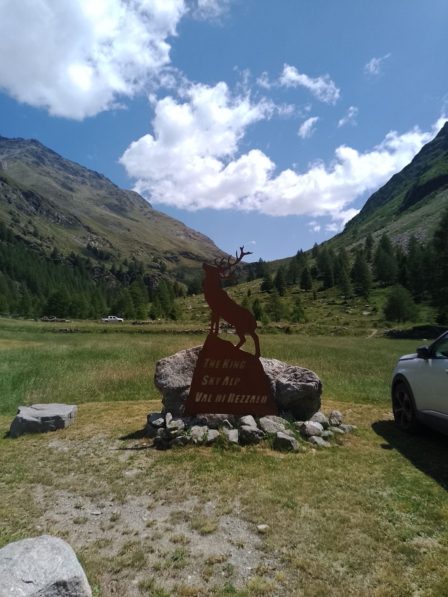
3 Gondole Tour
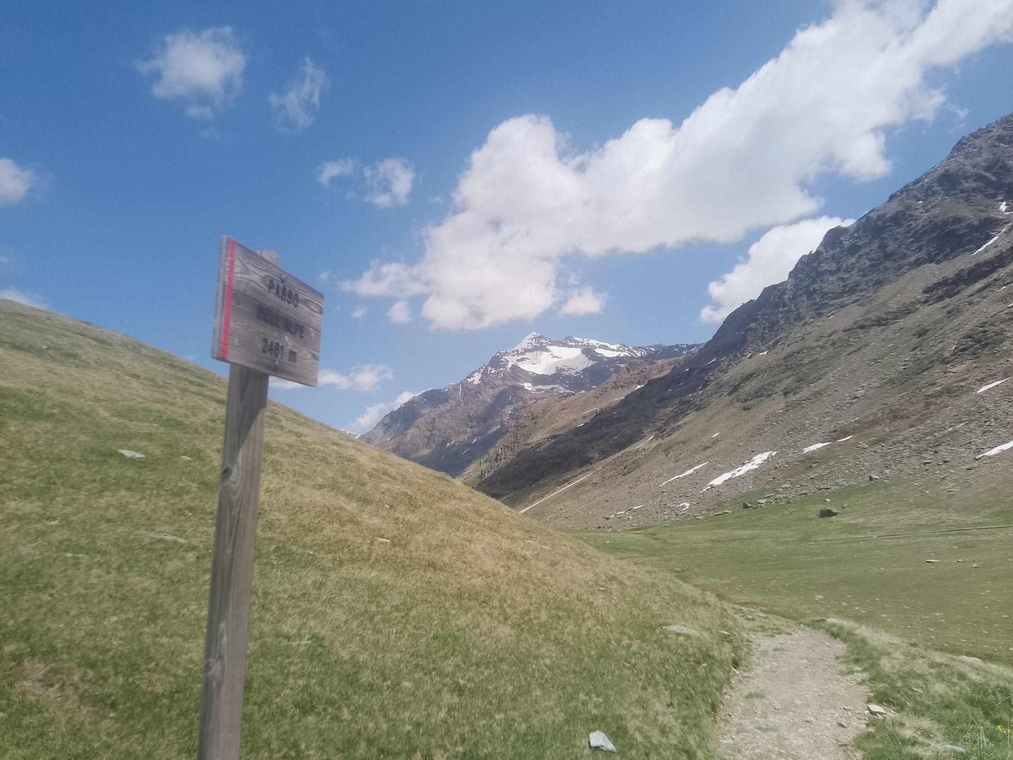


The 3 Gondole is a mountain bike and e-bike route in Bormio in Alta Valtellina that involves the 3 main ski lifts of the area: 1. in Bormio, the Bormio-Bormio 2000 cable car 2. in Santa Caterina, the S.Caterina-Vallalpe...
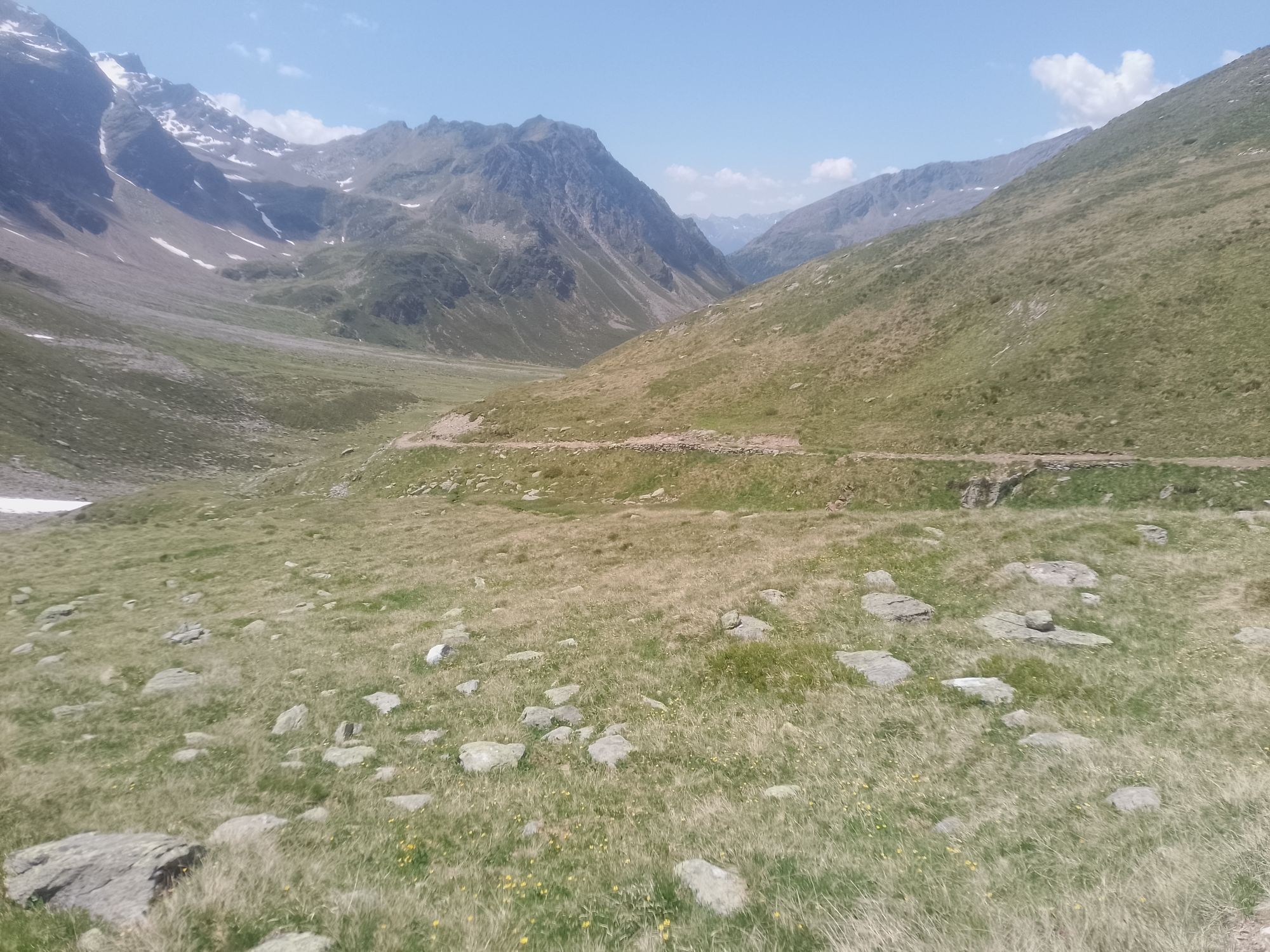
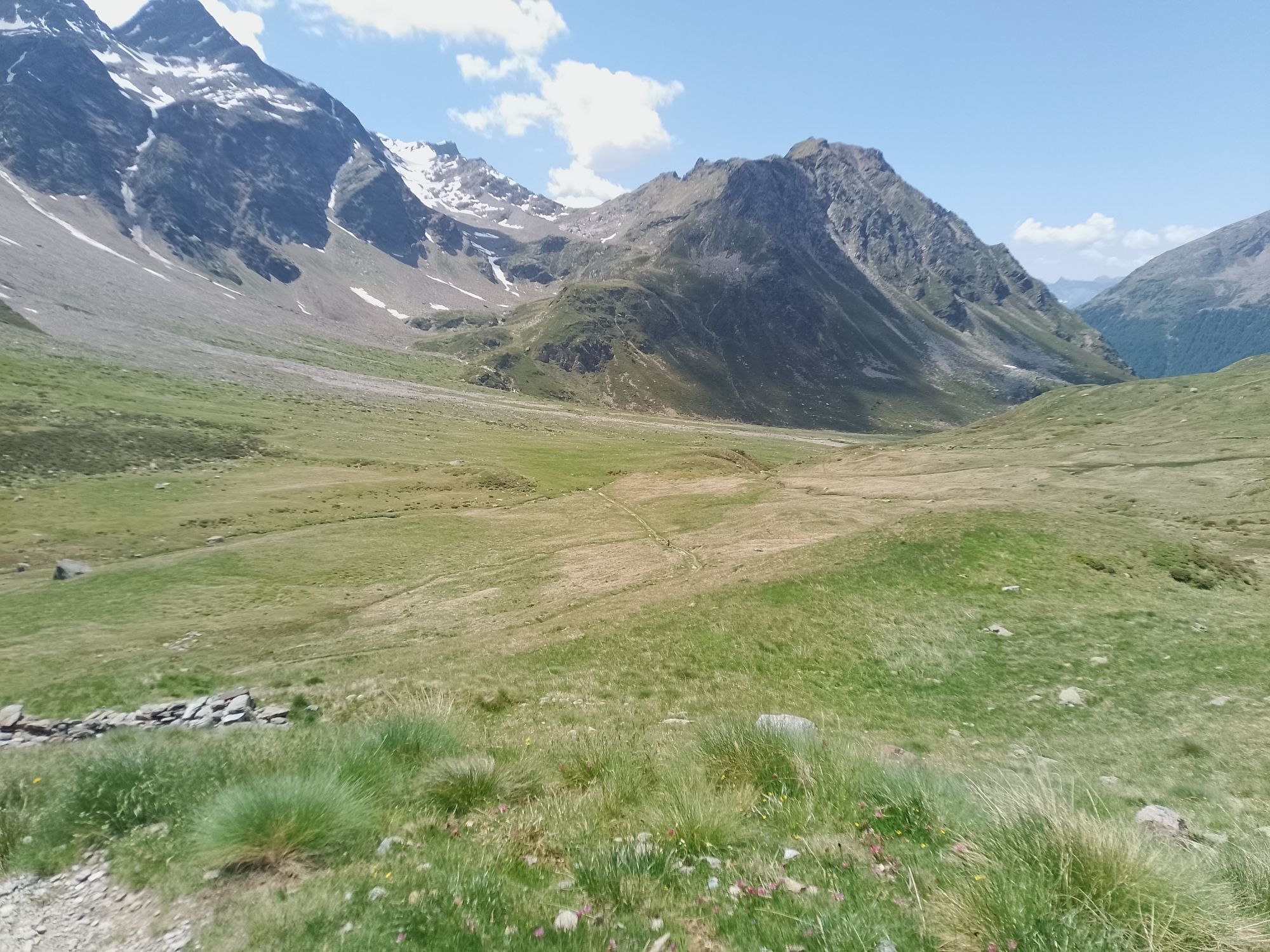
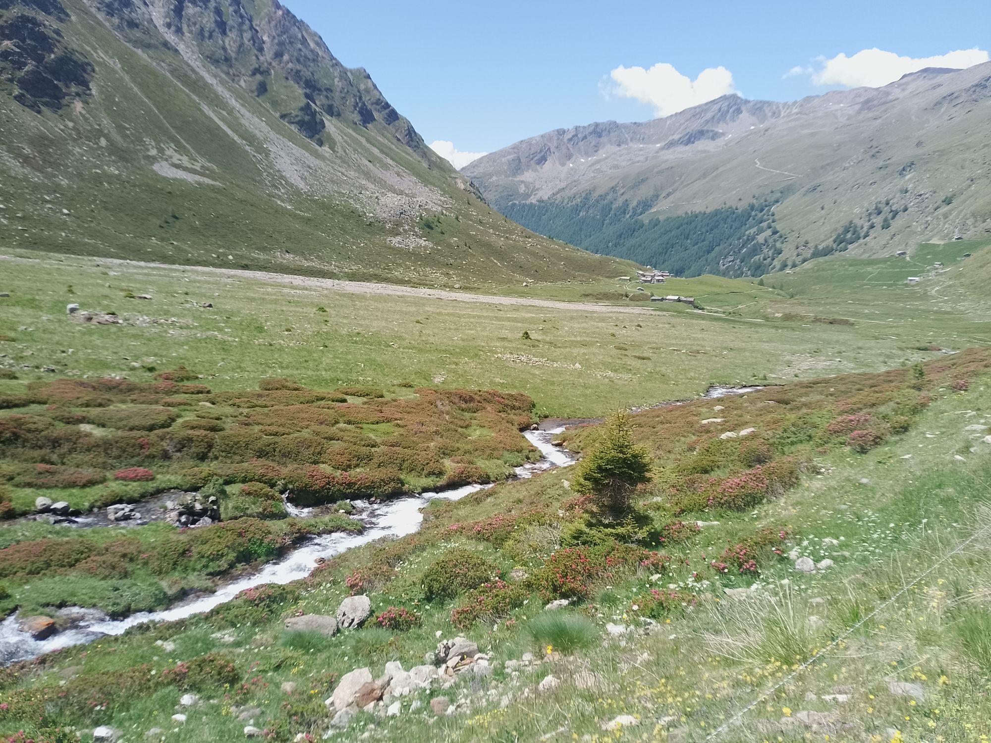
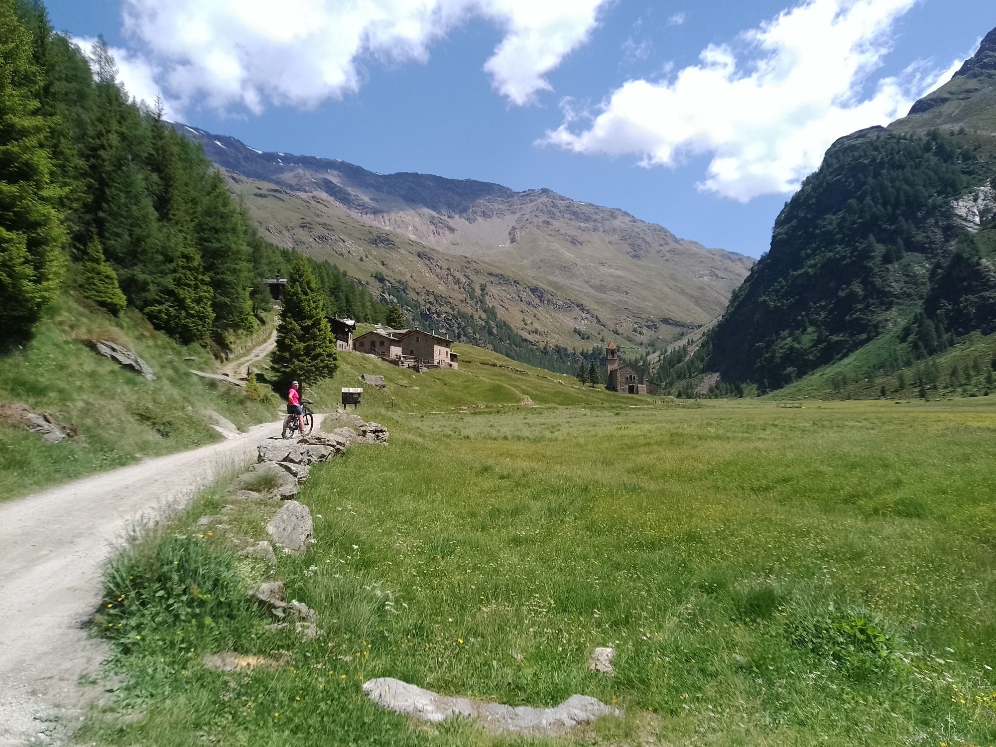
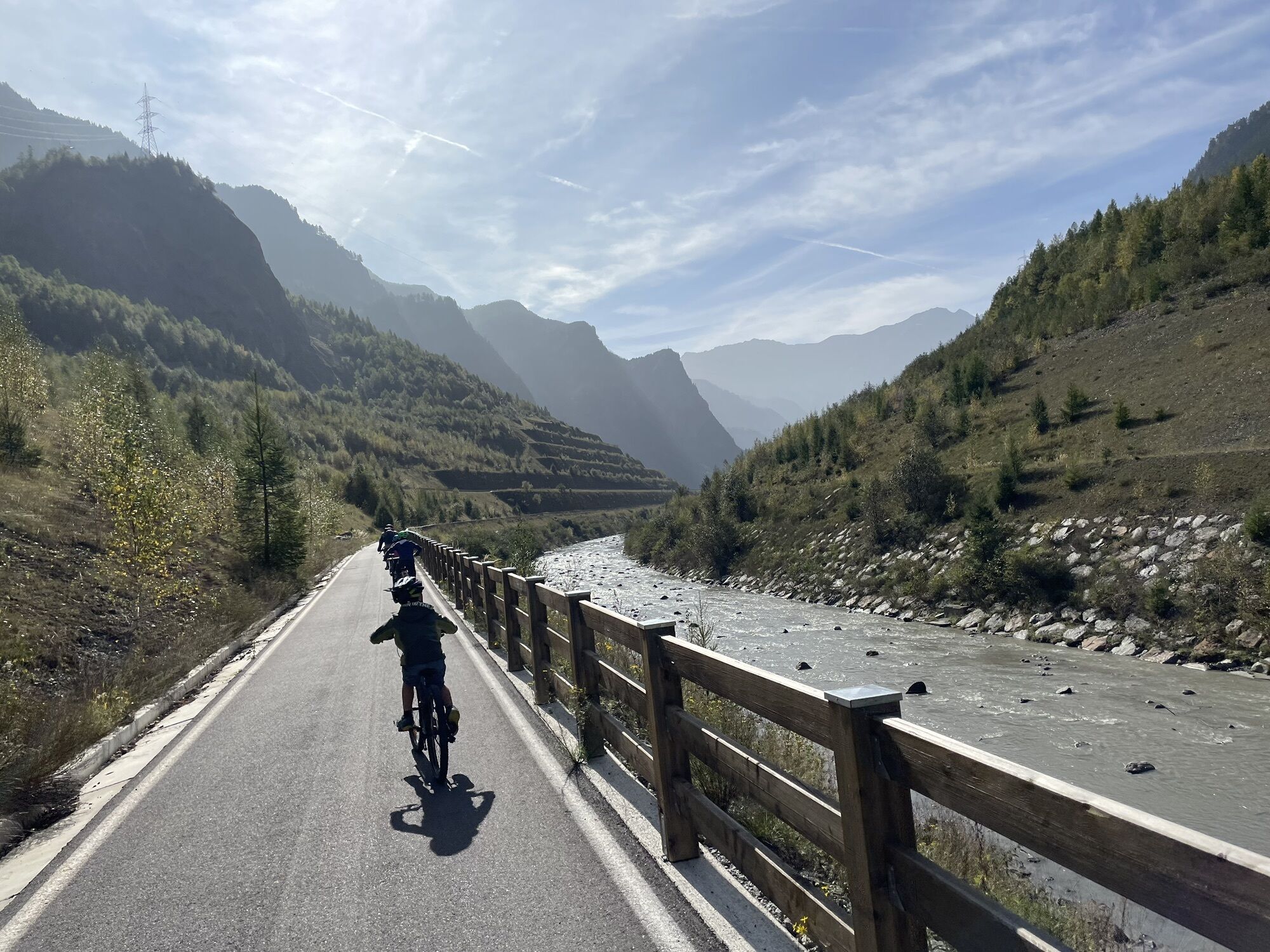
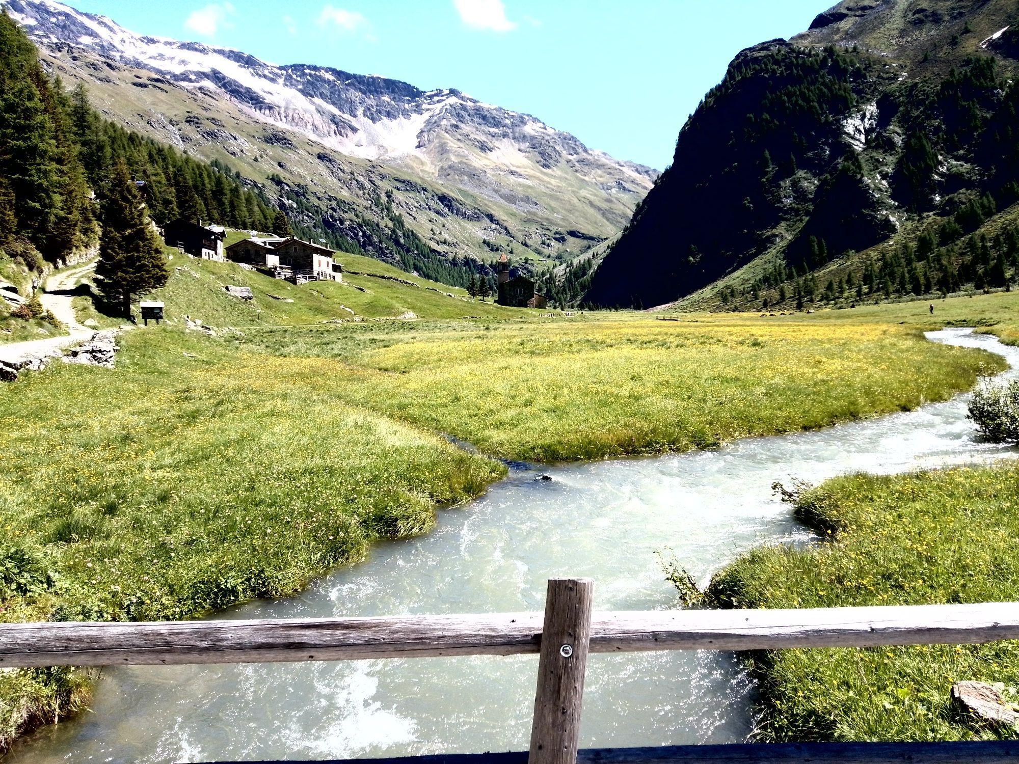
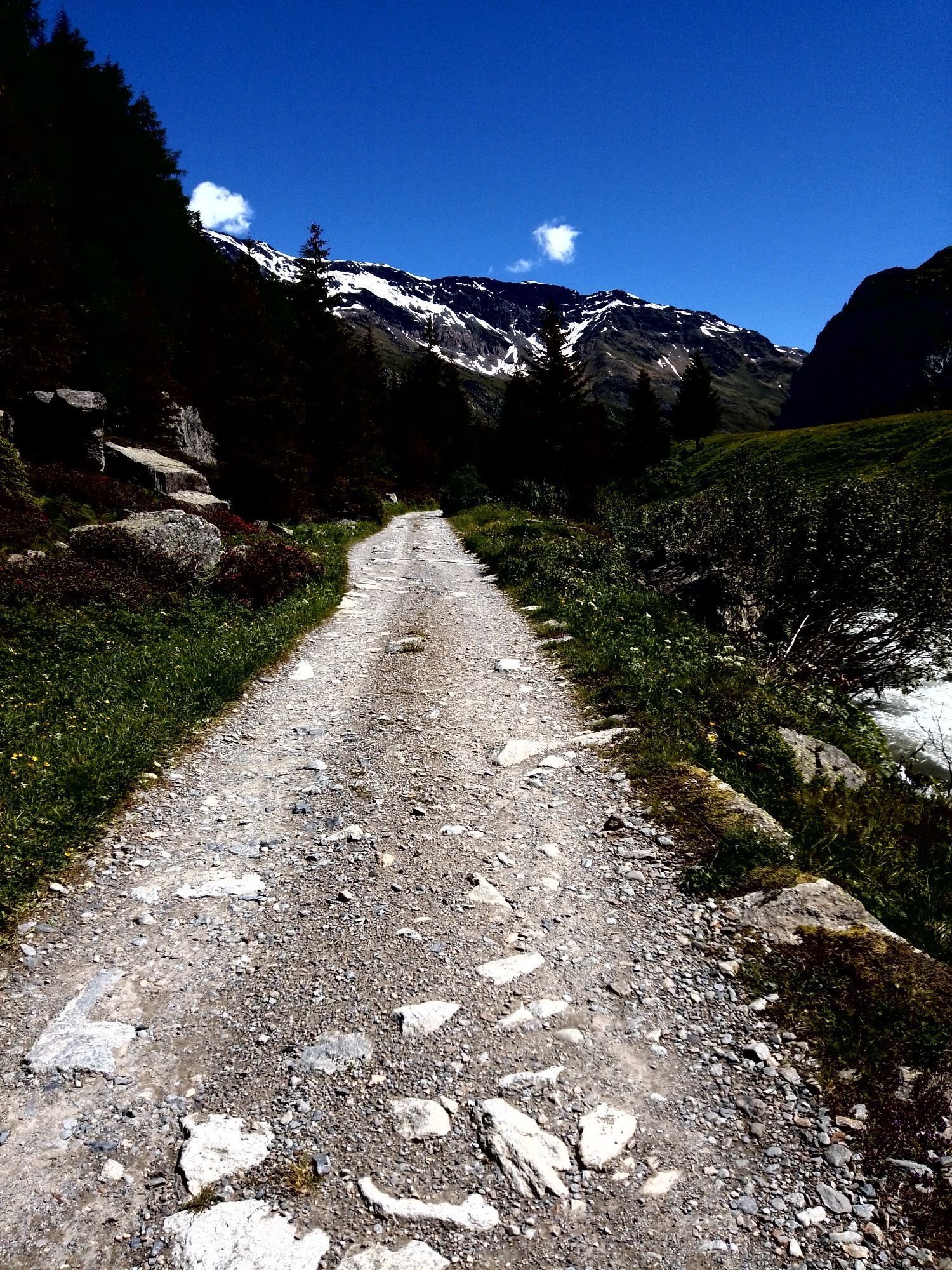
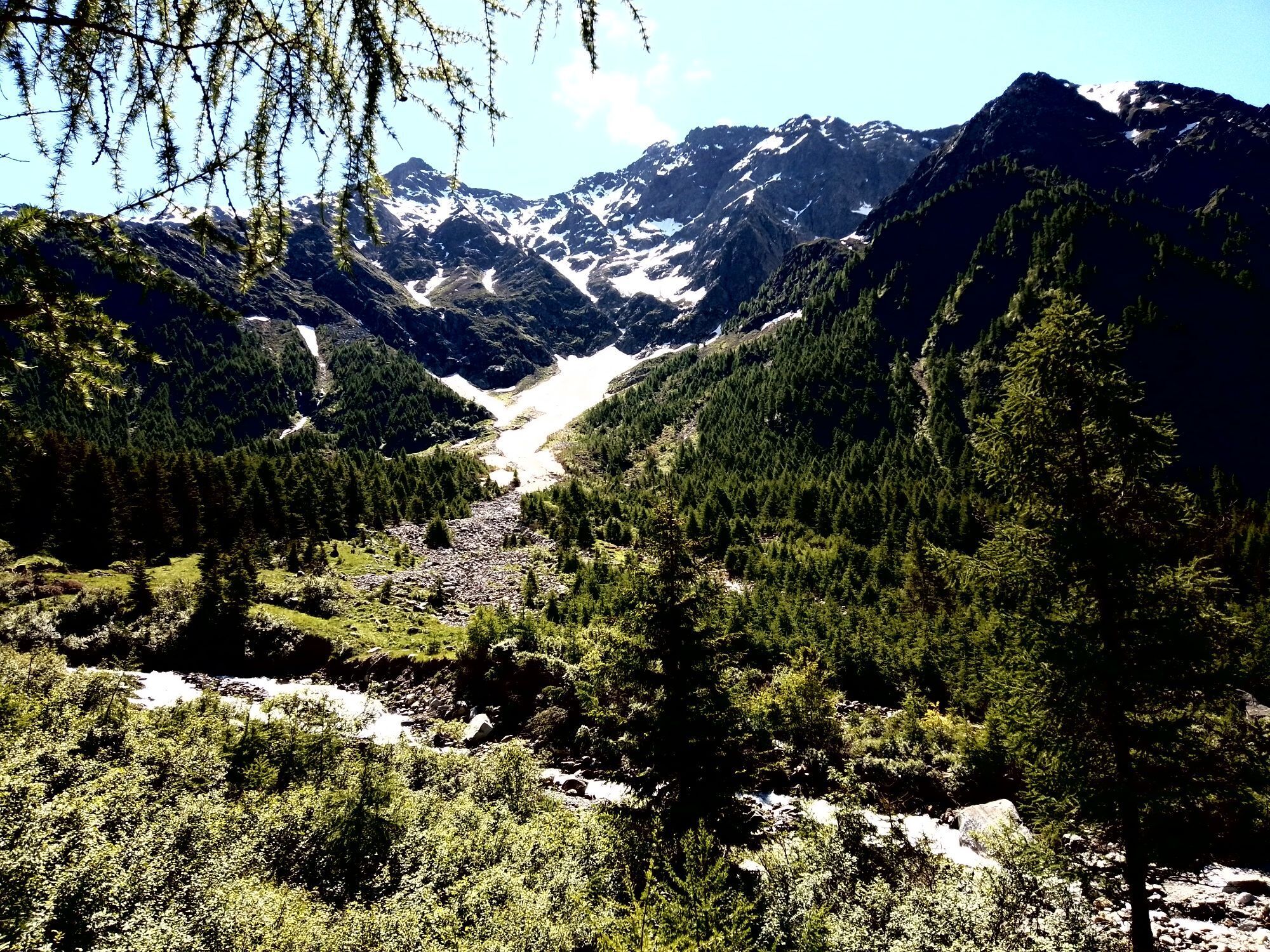
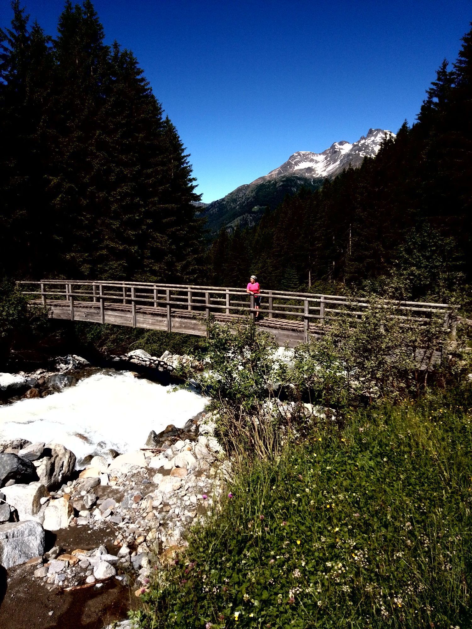
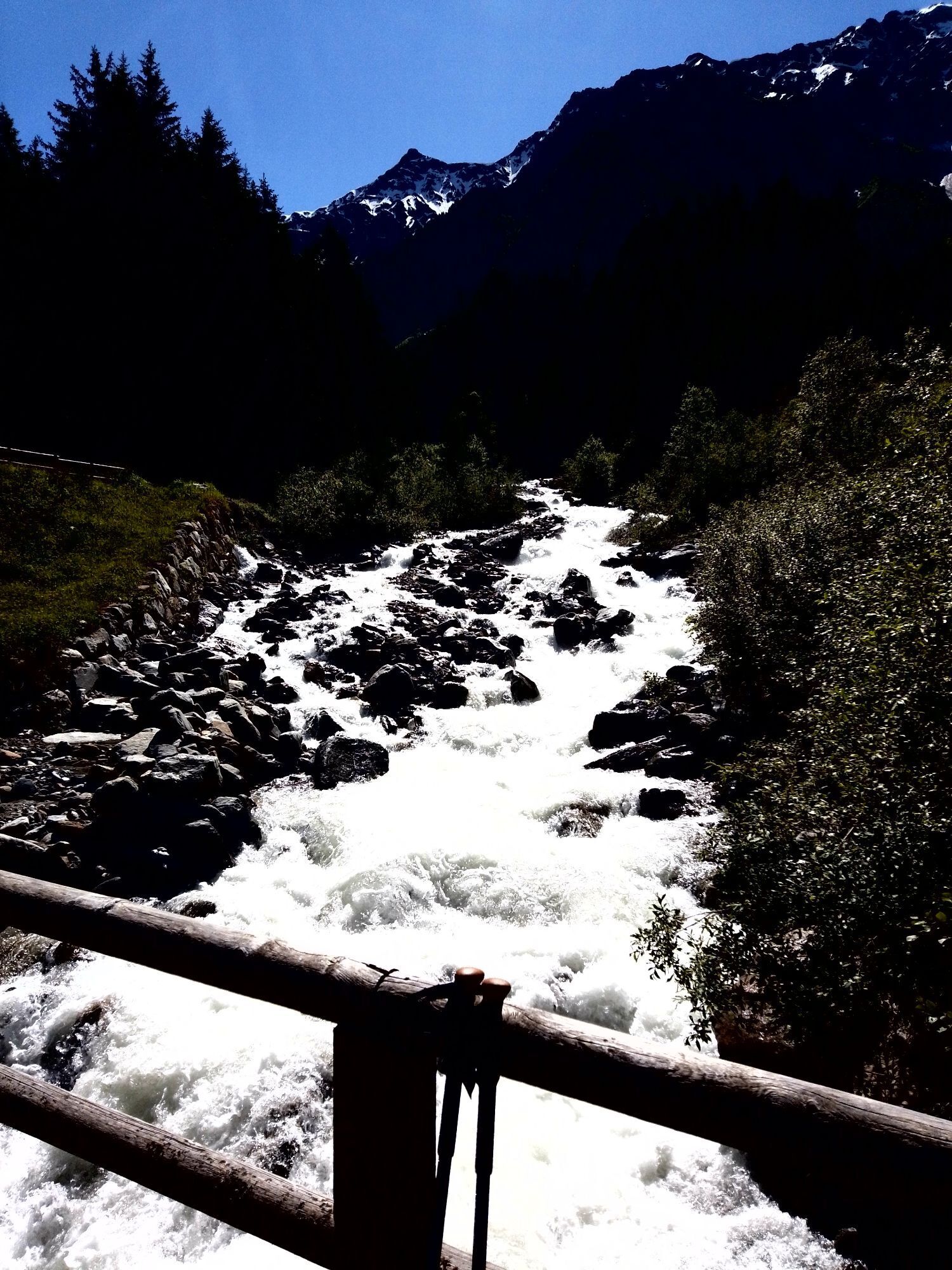
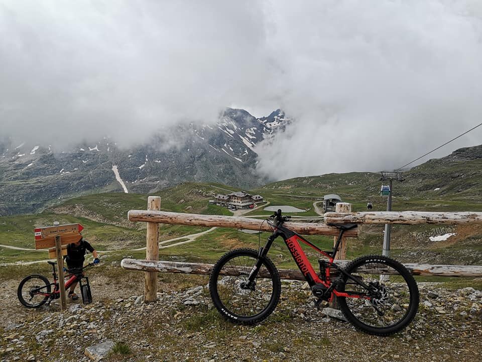
The 3 Gondole is a mountain bike and e-bike route in Bormio in Alta Valtellina that involves the 3 main ski lifts of the area: 1. in Bormio, the Bormio-Bormio 2000 cable car 2. in Santa Caterina, the S.Caterina-Vallalpe cable car 3. in Valdidentro, the Isolaccia-Pian dela Mota cable car The 3 Gondole Tour can be started indiscriminately from any of the three locations. In a clockwise direction, the route requires relatively few uphill meters to pedal. The big climbs are done with the ski lifts that comfortably allow the transport of mountain bikes and e-bikes. The route has a total length of 72 km plus 7 km of ascent by cable car. The tour mainly takes place on unpaved forest roads, trails, single trails, and bike paths. Medium technical (especially for descents) and athletic preparation is required. The estimated travel time varies greatly based on your training and MTB riding skills: it ranges from a minimum of 5 to a maximum of 9 hours, including lunch break.
Tak
The route has a total length of about 73 km plus 7 km of ascent by cable car. The tour mainly takes place on unpaved forest roads, trails, single trails, and bike paths. Medium technical (especially for descents) and athletic preparation is required. The estimated travel time varies greatly based on your training and MTB riding skills: it ranges from a minimum of 5 to a maximum of 9 hours, including lunch break.
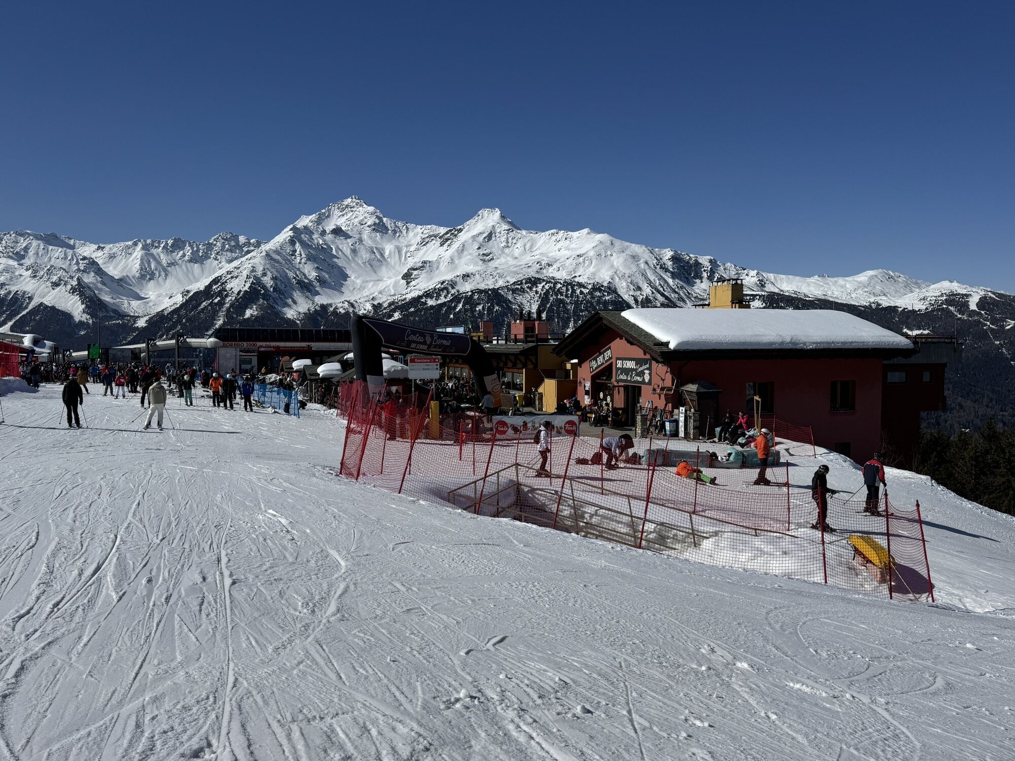
Bormio 2000 Ski Lift
The ski lifts are open until Sunday, September 6, 2020. Bormio-Bormio 2000 Cable Car every day from 9:00 to 12:45 and from 14:00 to 17:30 Bormio 2000-Cima Bianca Cableway every day from 9:15 to 17:00 S.Caterina-Vallalpe Cable Car every day from 9:00 to 16:30 Isolaccia-Pian dela Mota Cable Car from 9:00 to 17:00 closed on Mondays until the end of July
Kamery internetowe z trasy
Cima Bianca
Bormio 2000
Piste Stelvio
Cima Bianca
Cima Bianca
Cima Bianca
Cima Bianca
Bormio 2000
Bormio 2000
Bormio 2000
Bormio 2000
Bormio 2000
Bormio 2000
Bormio 2000
Cima Bianca
Bormio Terme
Piazza Kuerc
Piazza Kuerc
Piazza Kuerc
Uzza - Valfurva
Centro Sci Fondo
Centro Sci Fondo
Teleir - Oga
Teleir - Oga
Teleir - Oga
Teleir - Oga
Popularne wycieczki w okolicy
- 4,3
Sonnenaufgang auf der Rötelspitze im Nationalpark Stilfserjoch
Wędrówka 2,02 km - 4,0
Ortler Höhenweg
ciężkiWycieczka wysokogórska 123,2 km - 2,0
Military Historical Hiking Trail "Scorluzzo"
średniWędrówka 9,52 km - 5,0
TIP Panorama Road Tyrol ➤ Stelvio Pass
światłoMotorrad 40,8 km Great Zebru'
średniWycieczka narciarska 8,32 km- 3,0
Transalp: St. Anton/ Arlberg nach Riva
ciężkiMountainbike 277,3 km Punta San Matteo - from the Forni
średniWycieczka narciarska 7,44 kmStelvio Epic Rides: Passo Gavia
ciężkiDroga rowerowa 25,8 km- 5,0
Militärhistorische Wanderung: Streckenführung "Umbrail"
Wędrówka 9,75 km - 5,0
Monte Scale Loop
średniWędrówka 7,53 km
Wędrówki i tropienie


Nie przegap ofert i inspiracji na następne wakacje
Twój adres e-mail została dodana do listy mailingowej.