







Livigno–Tour of the Lakes: Cancano–San Giacomo
Poziom trudności: S2
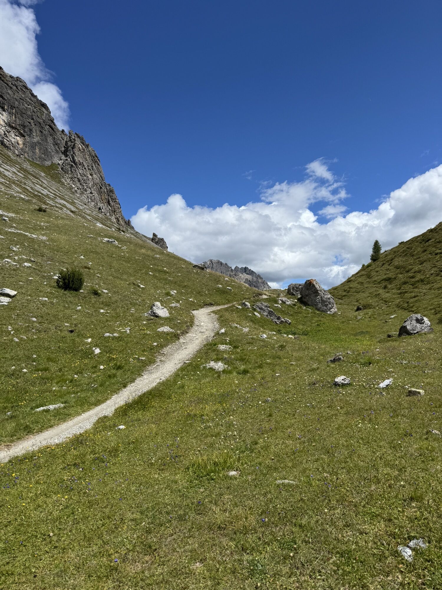
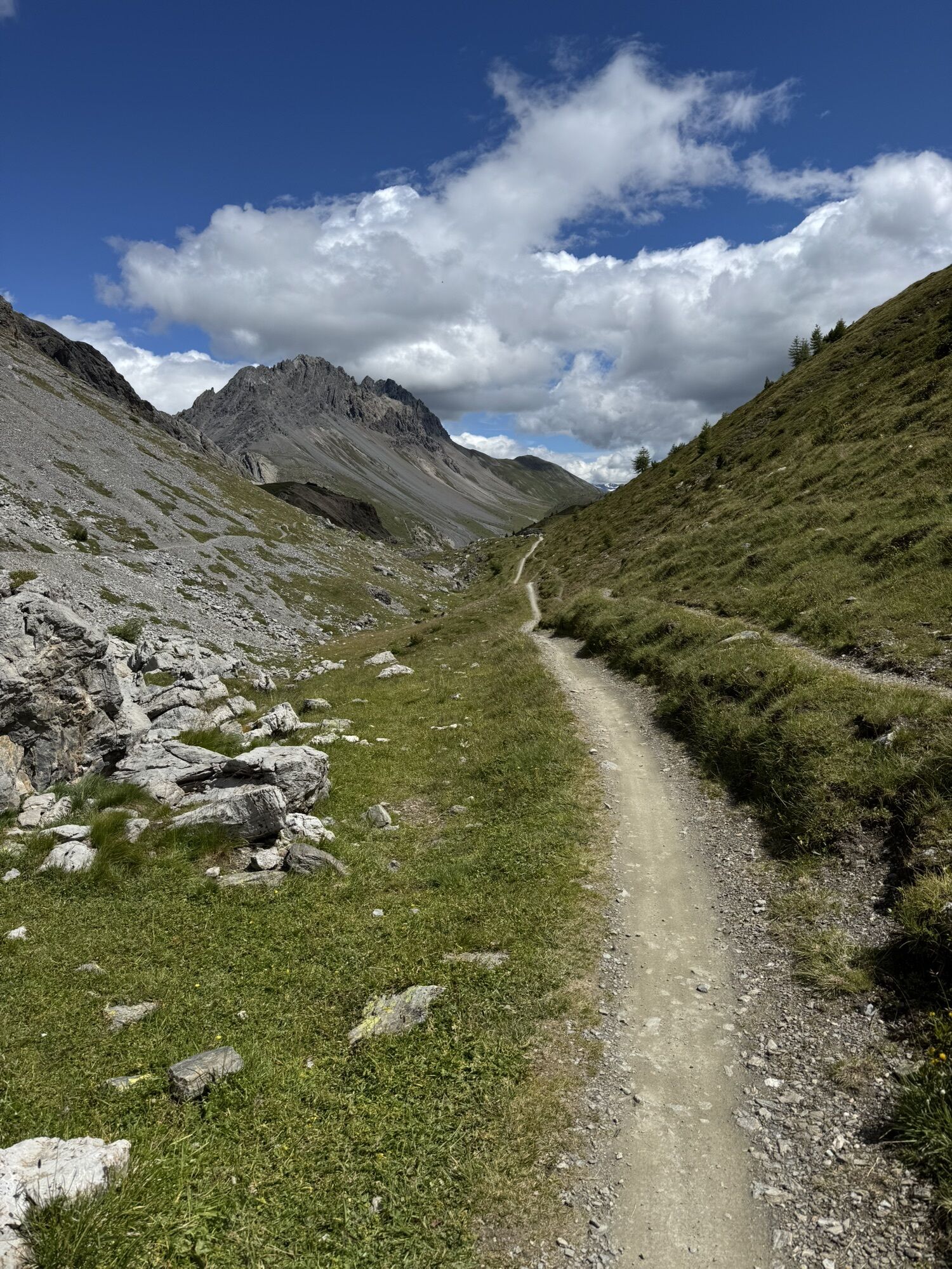
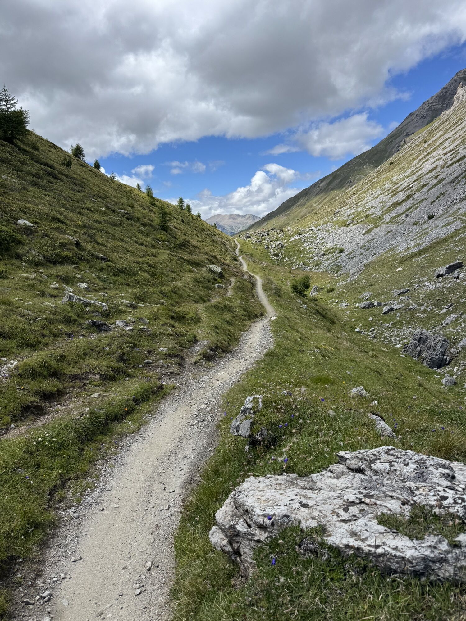
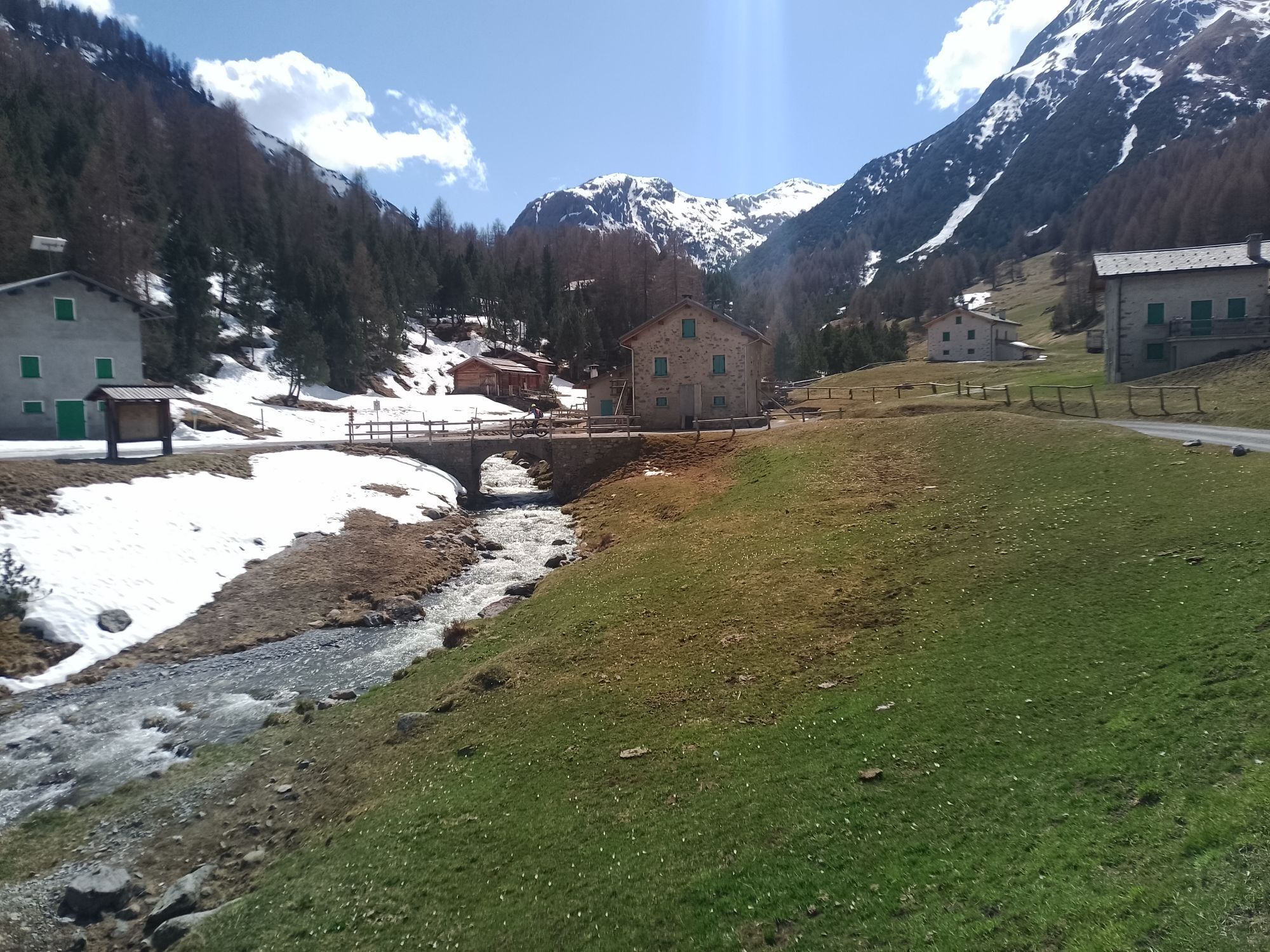
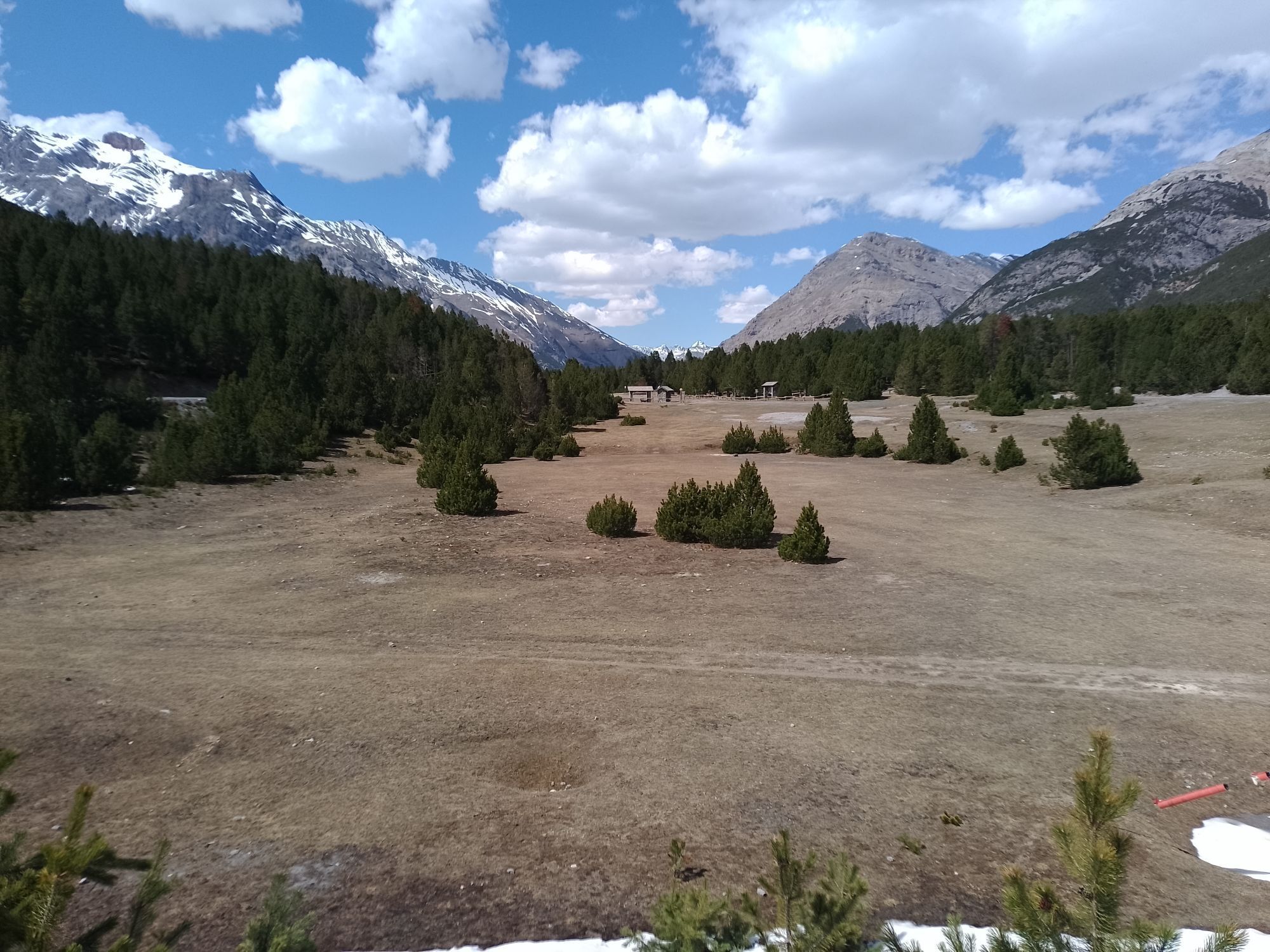
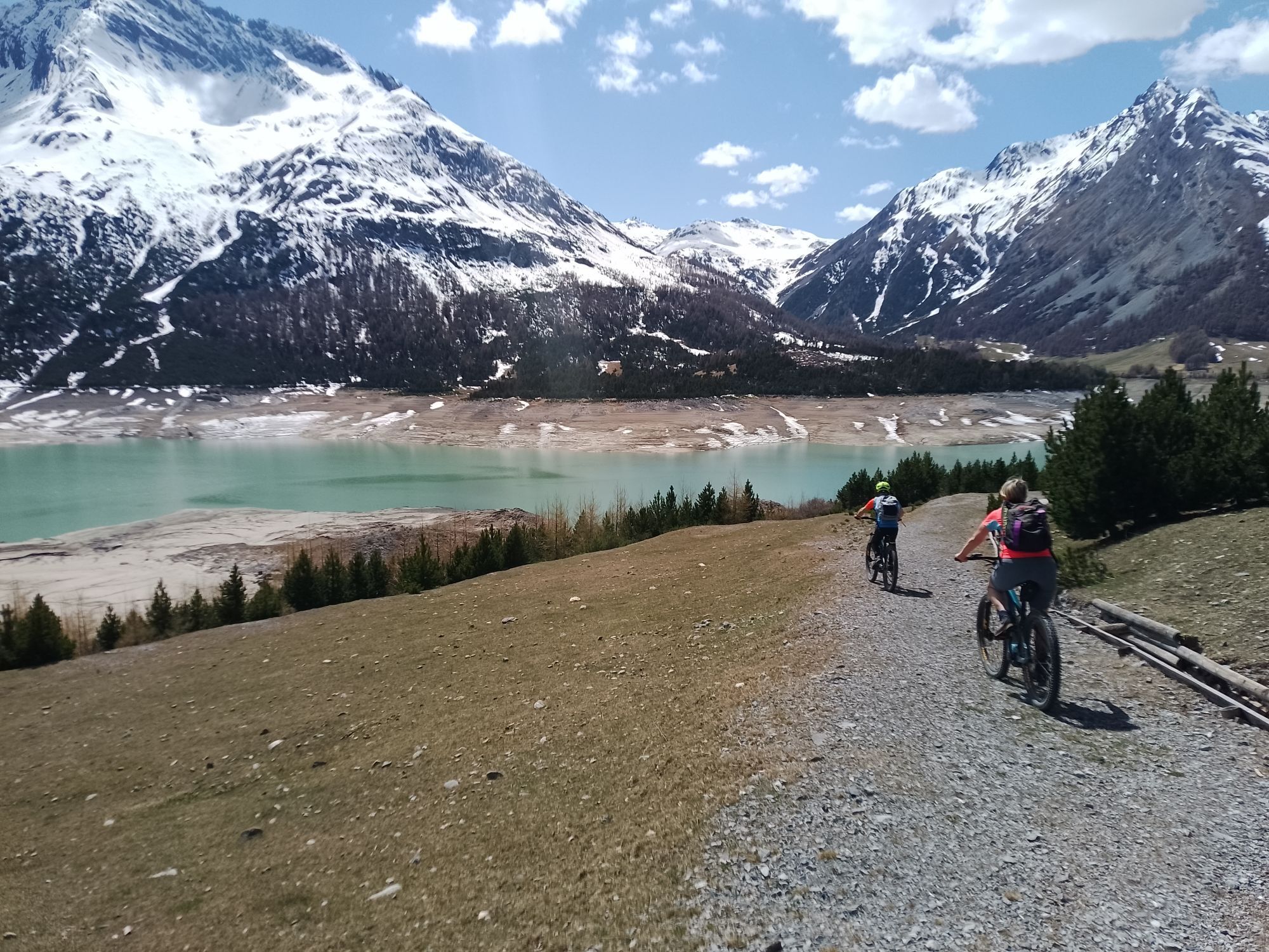
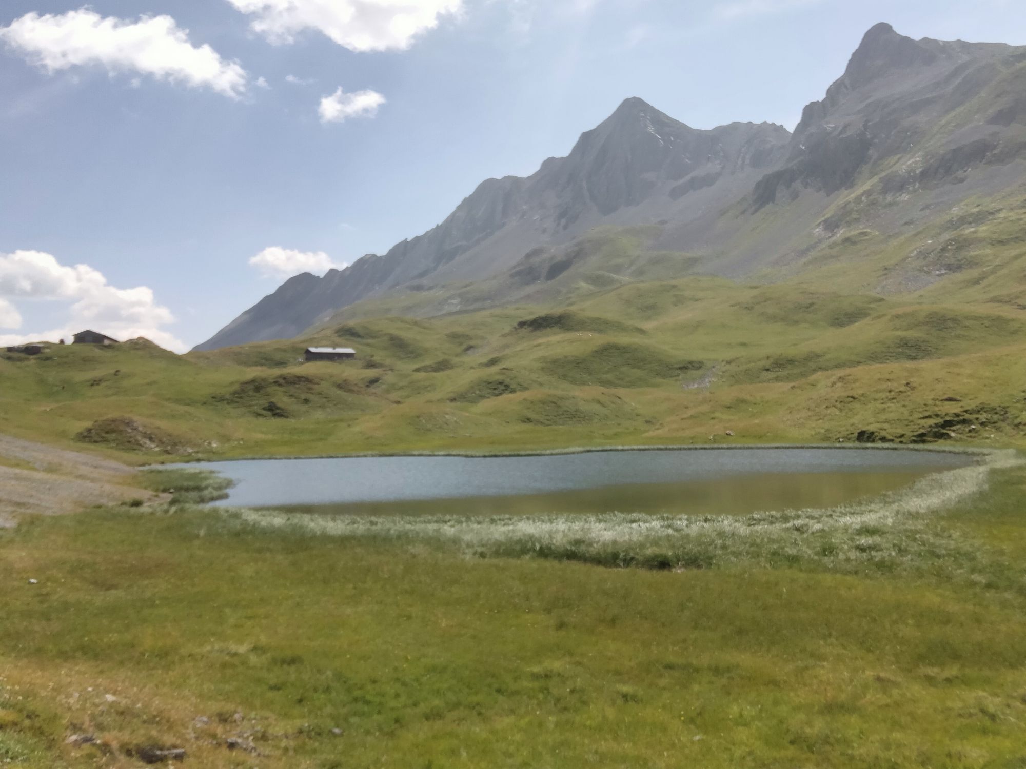
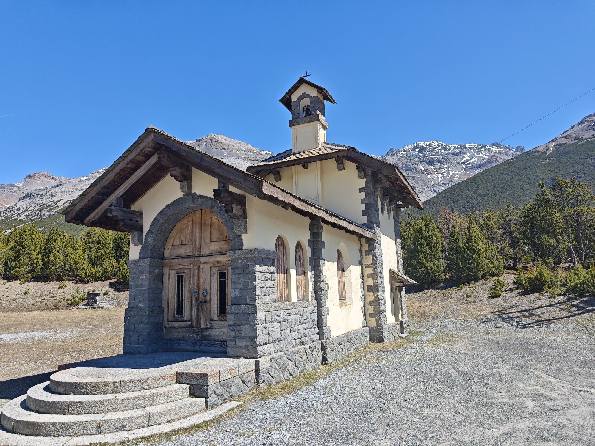
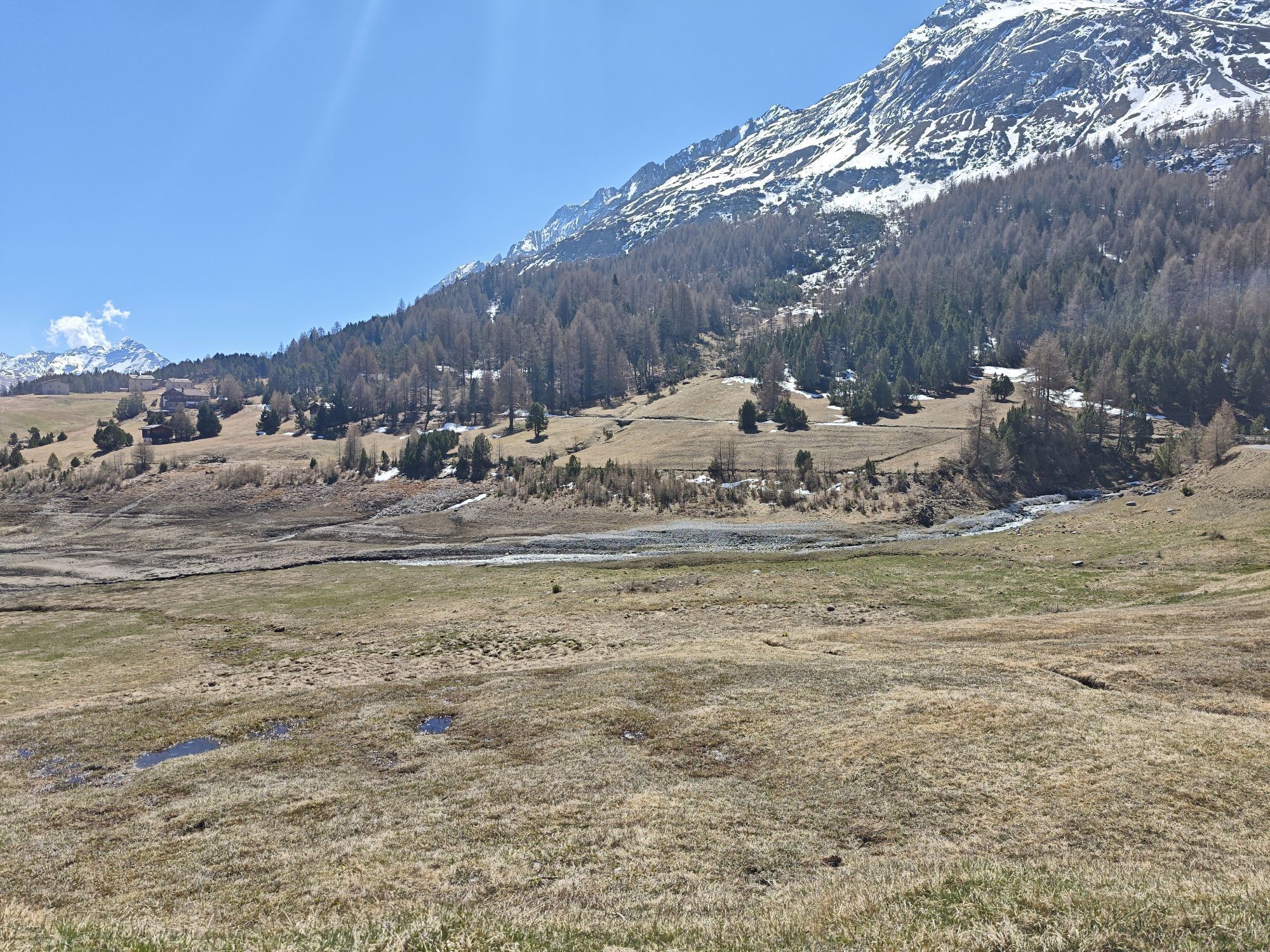
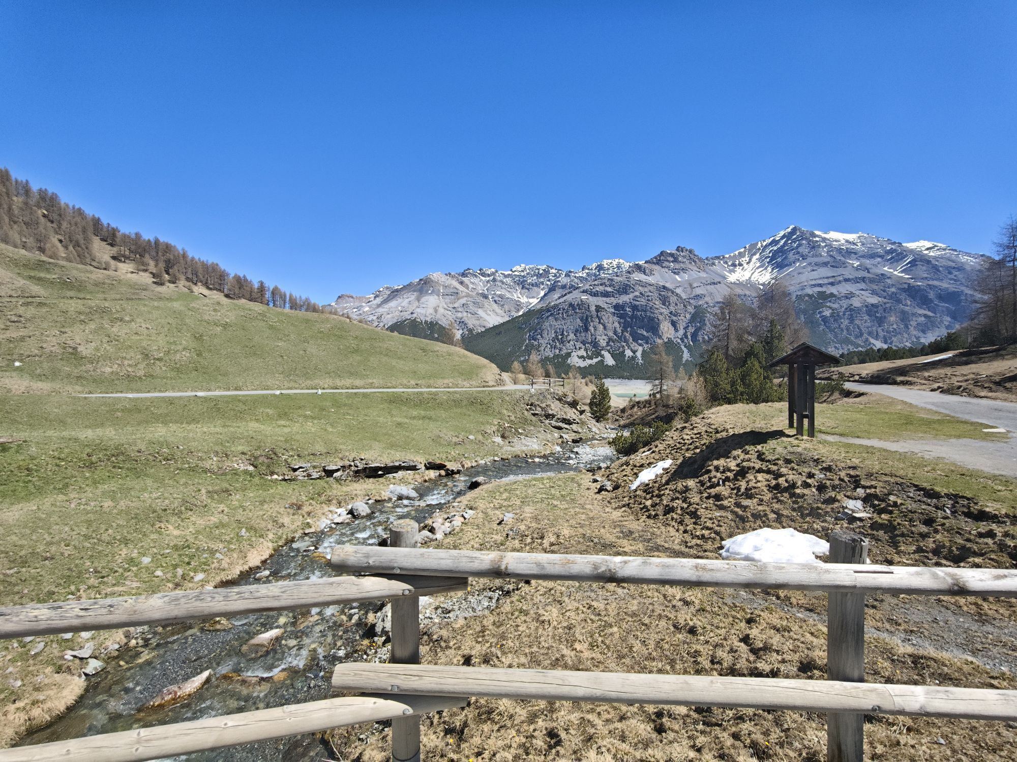
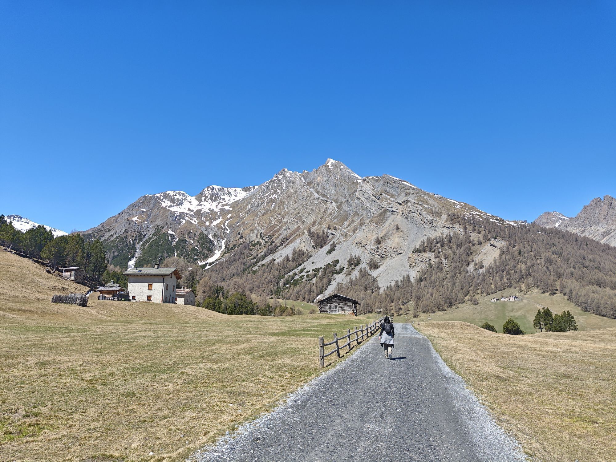
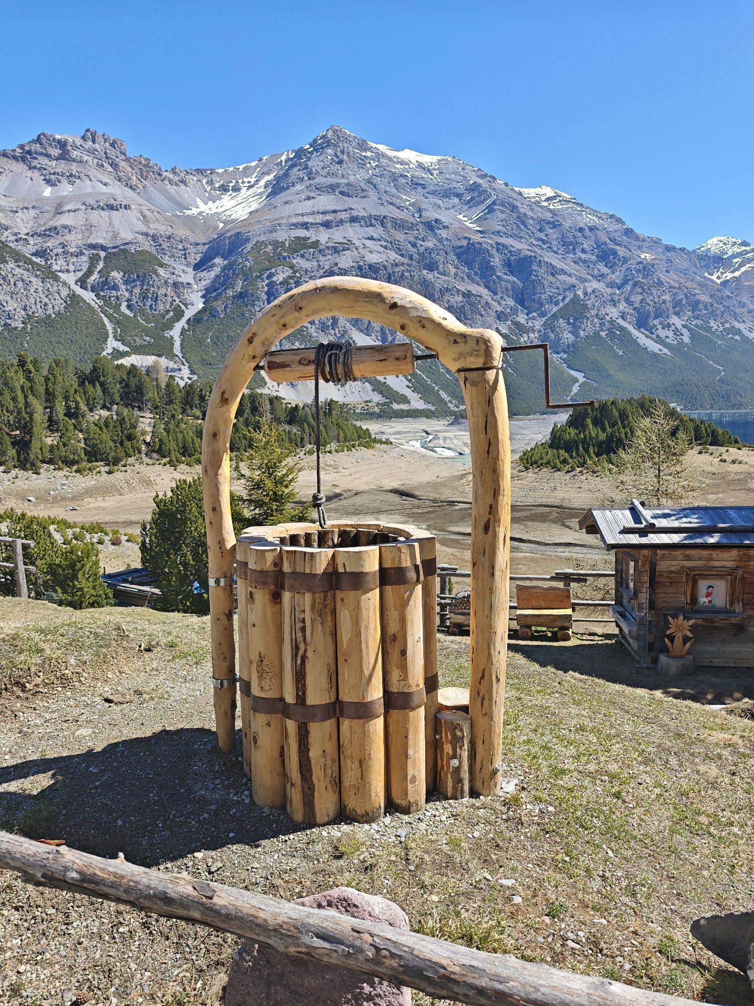
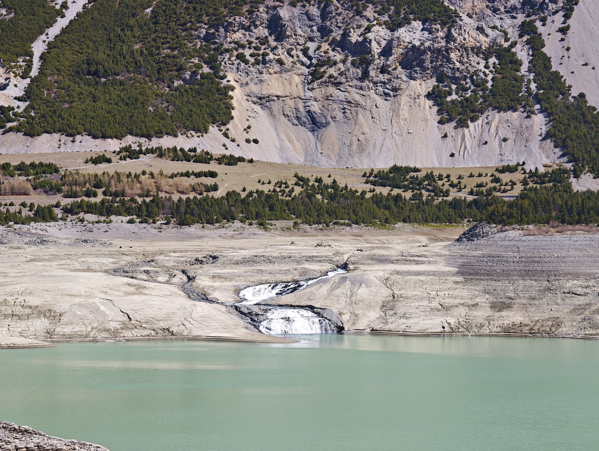
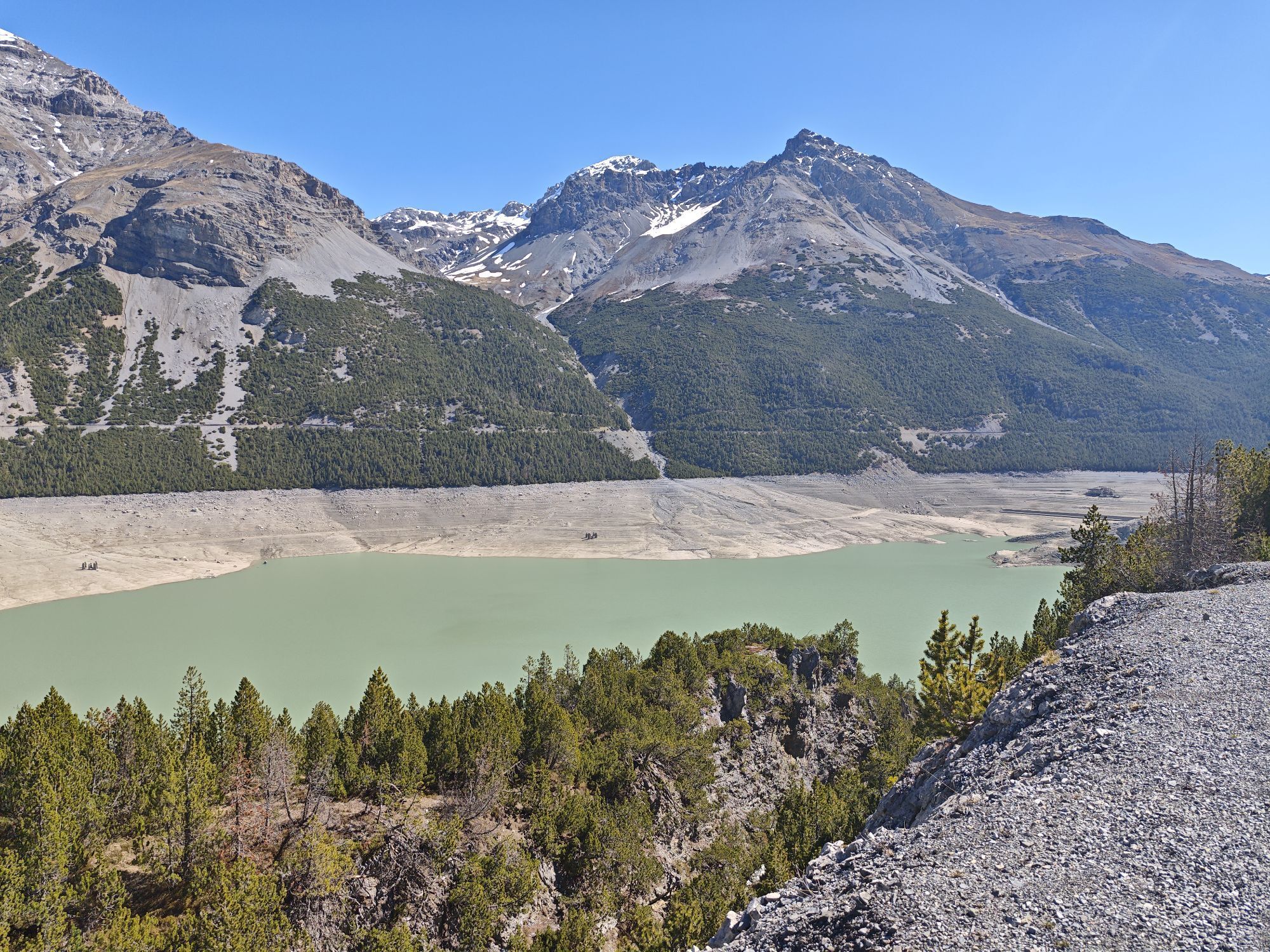
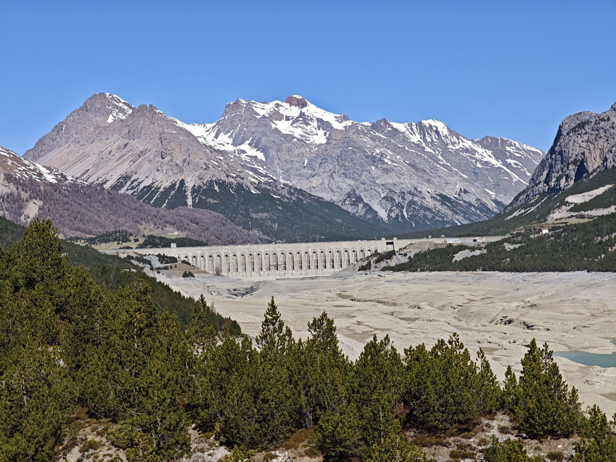

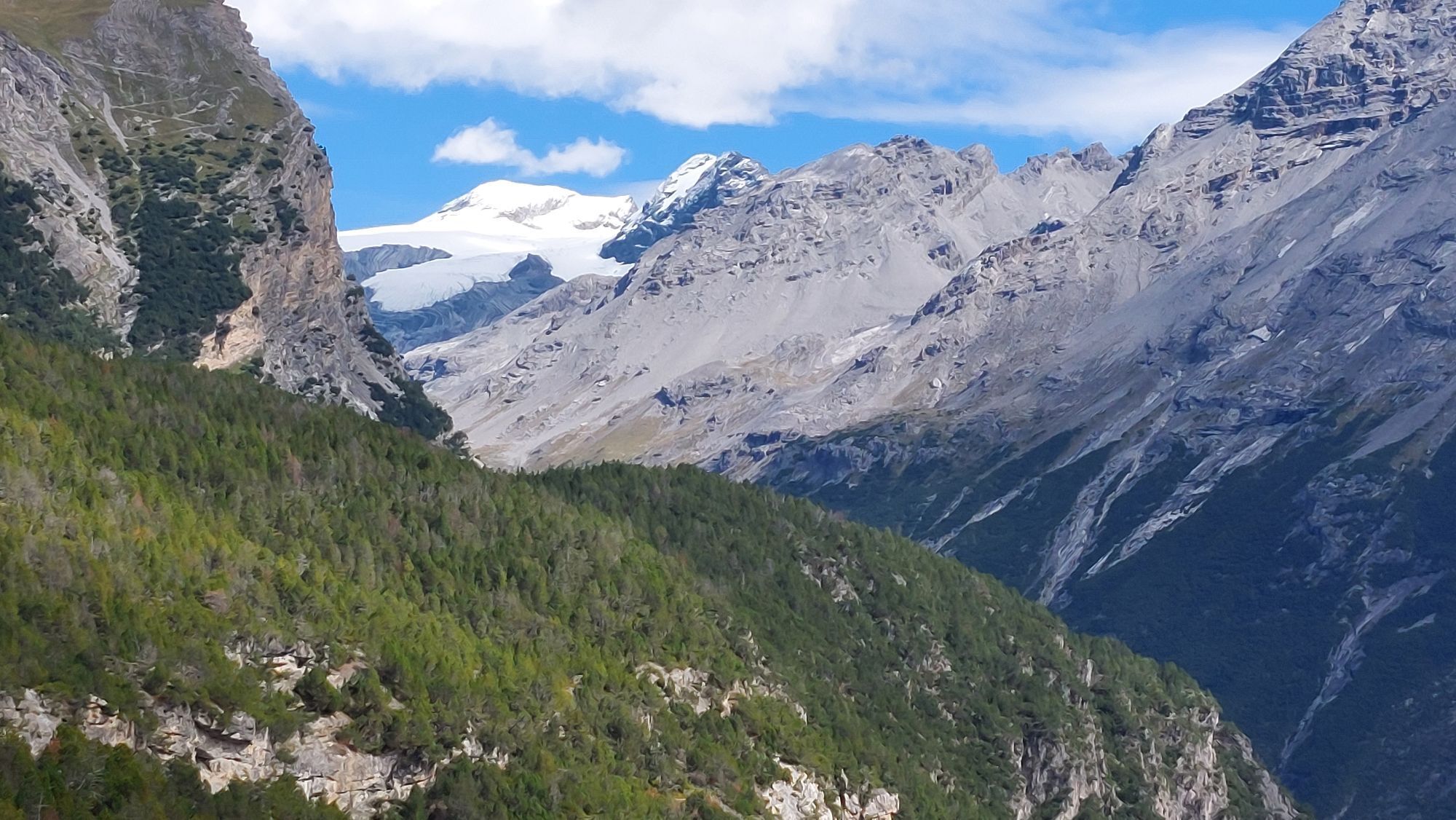
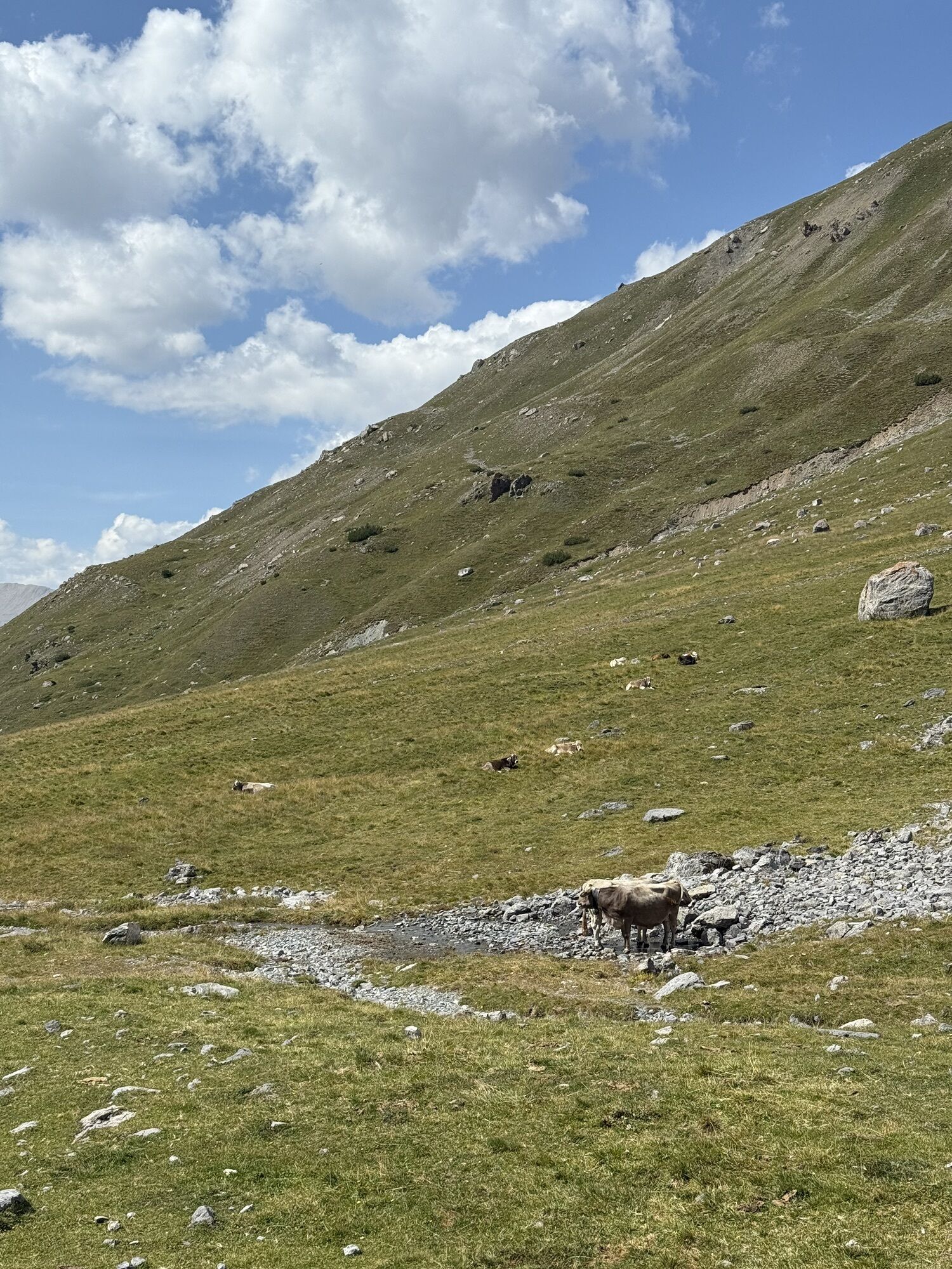
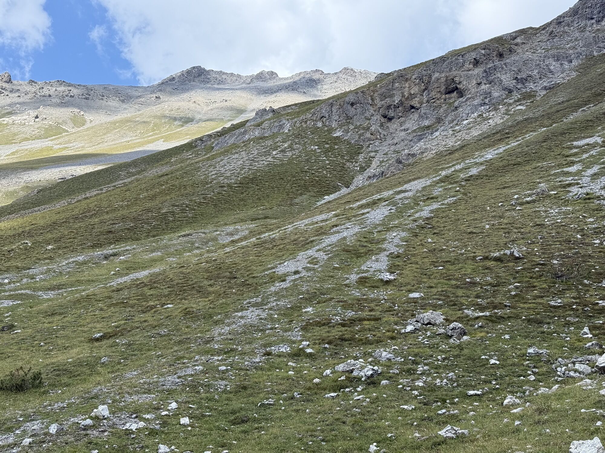
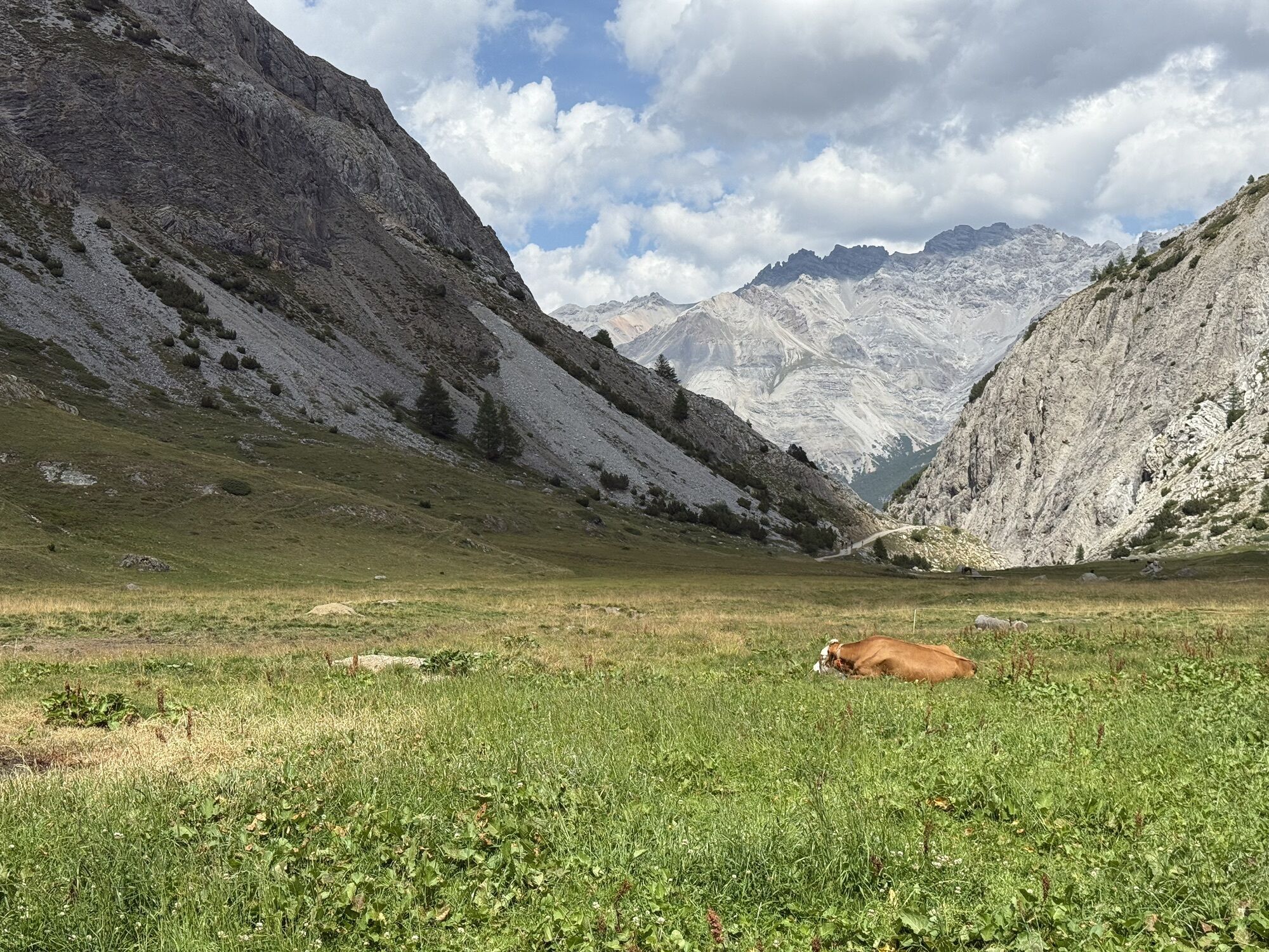
From the center of Livigno, riding along the Livigno River toward the lake, we tackle a flat stretch that takes us to the start of our tour, marked by an initial climb up a forest road. Surrounded by the...
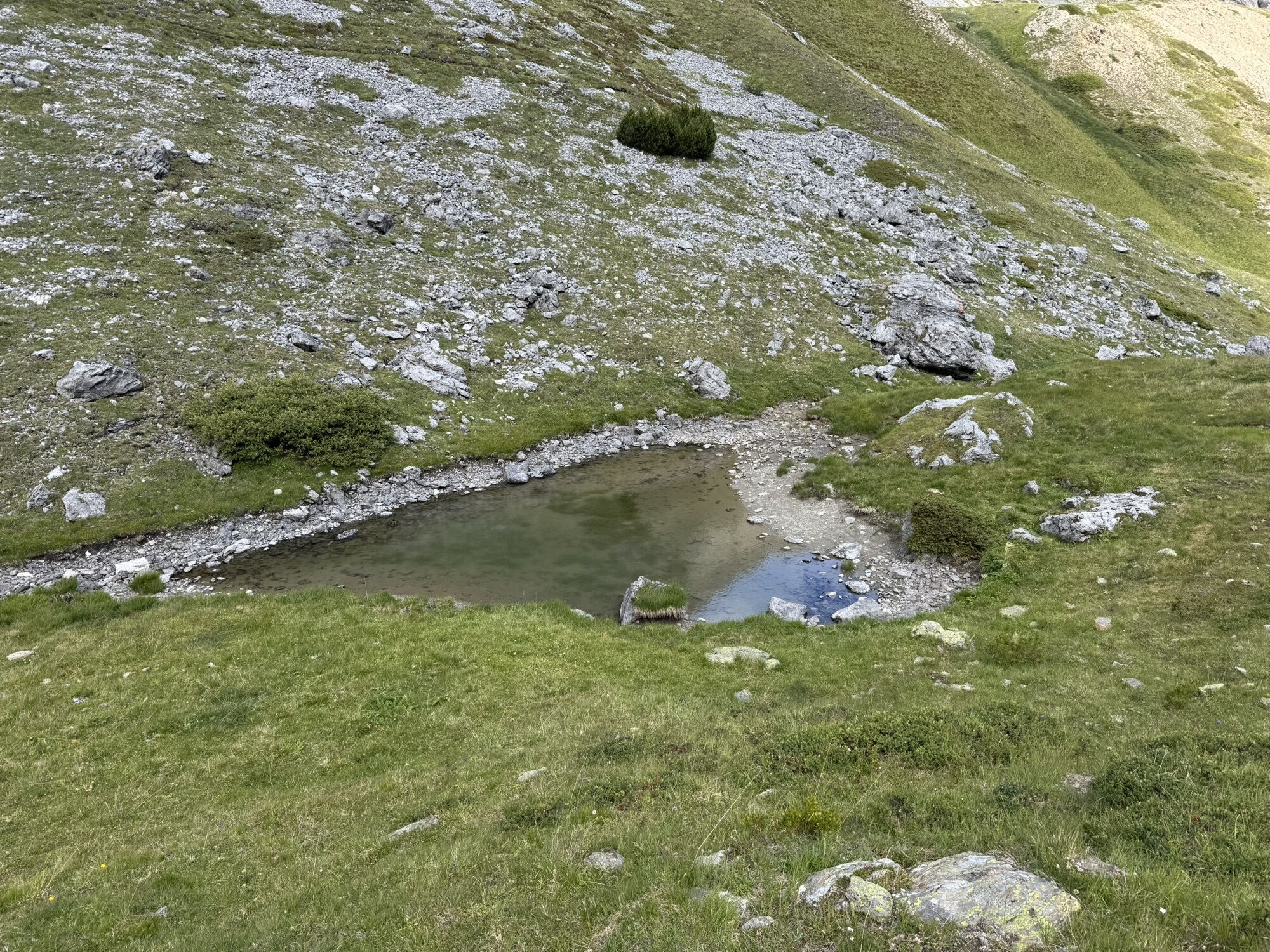
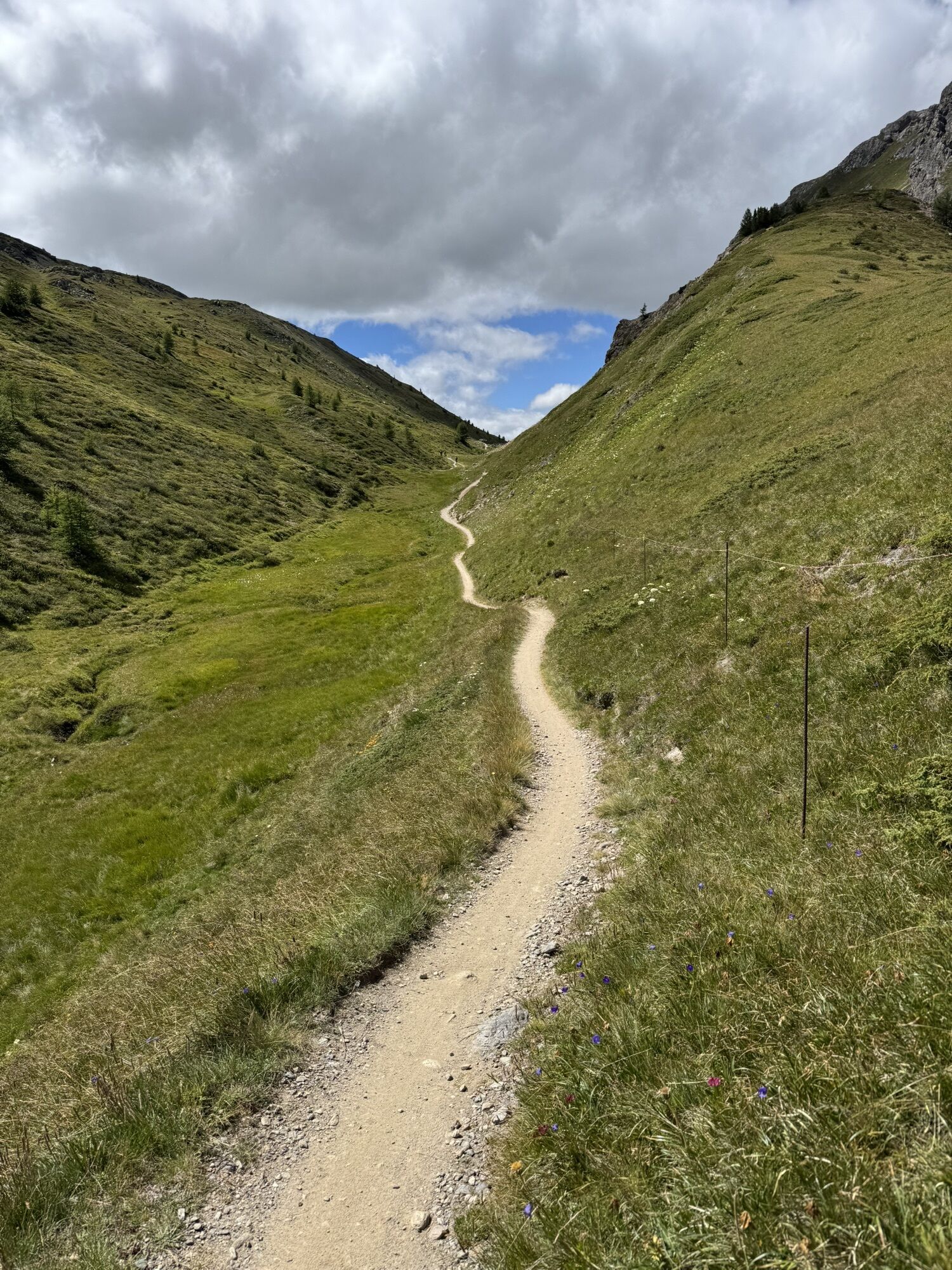
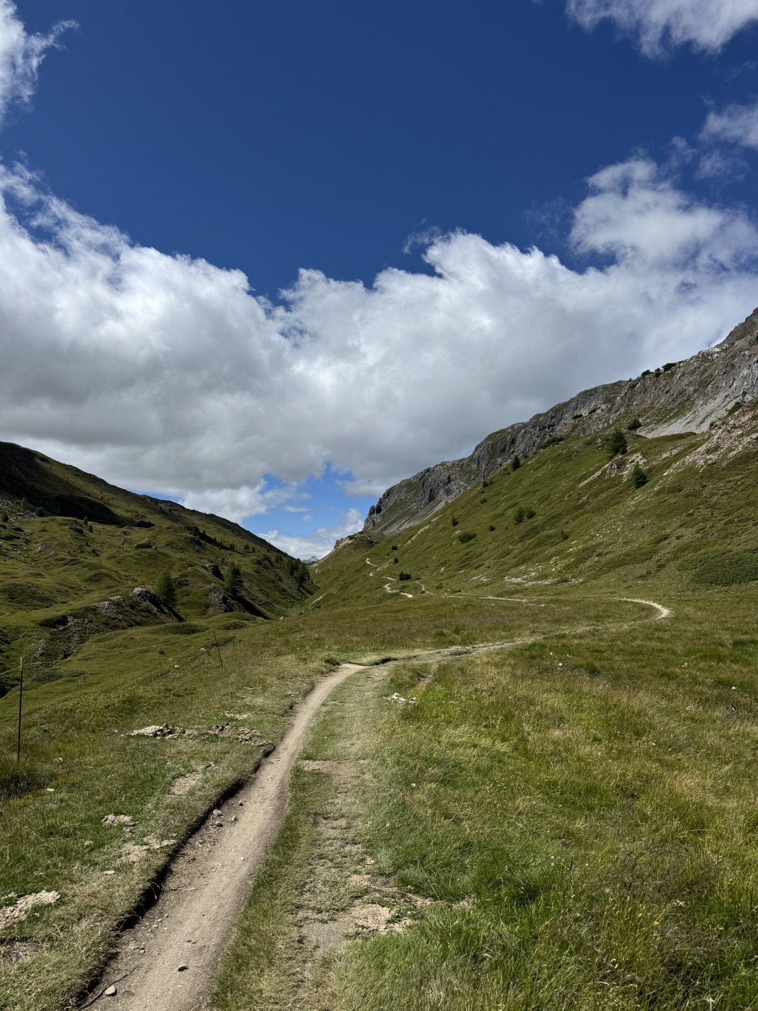
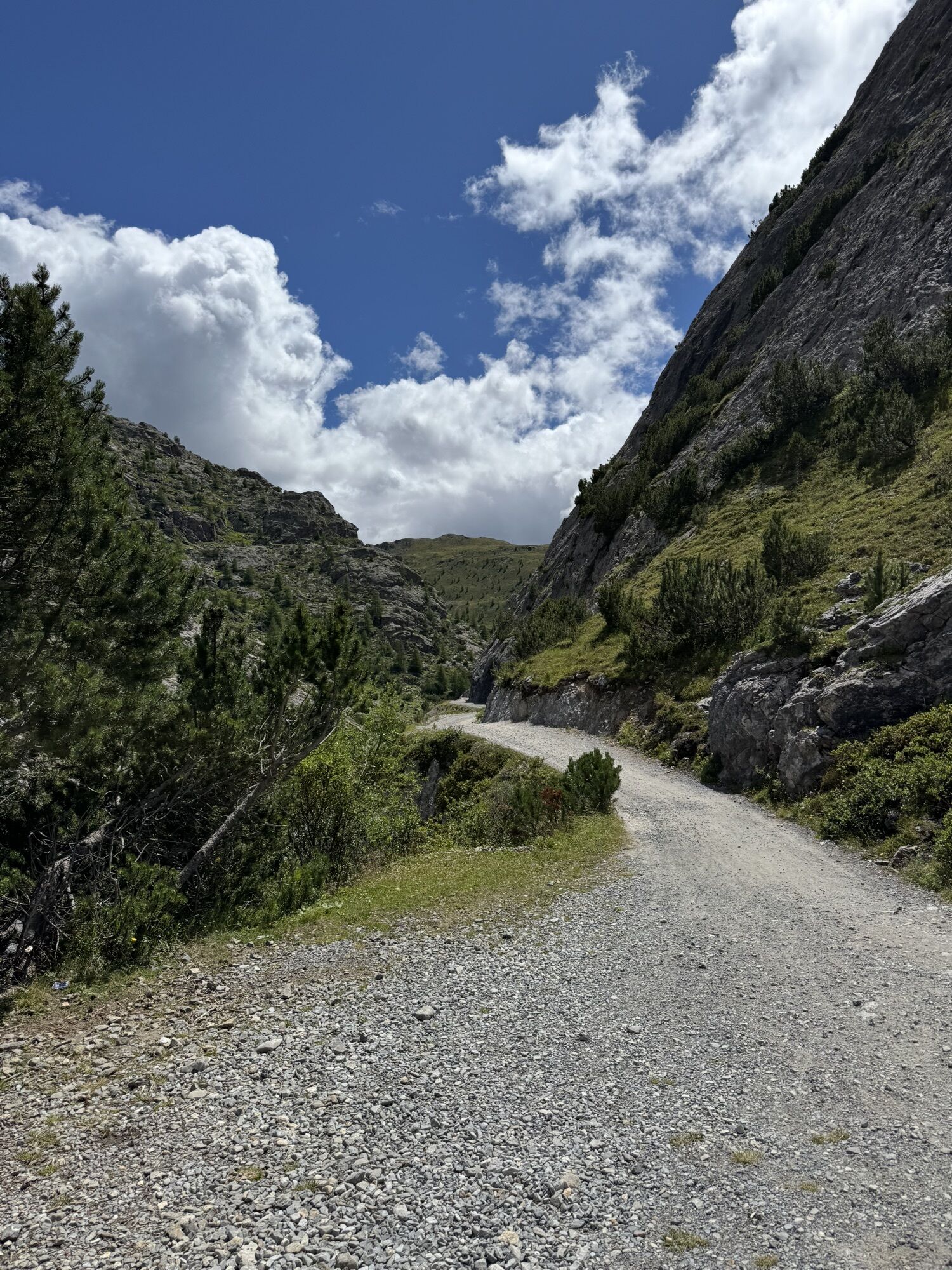
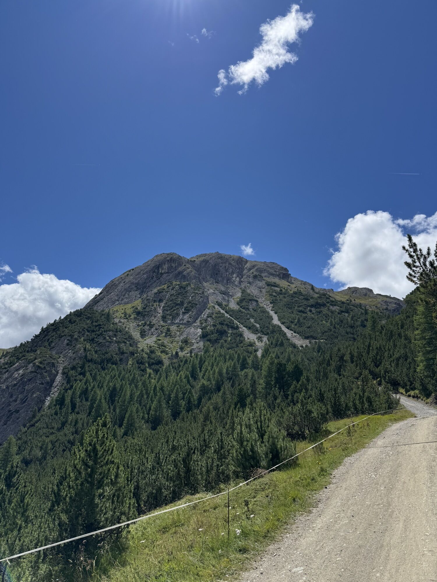
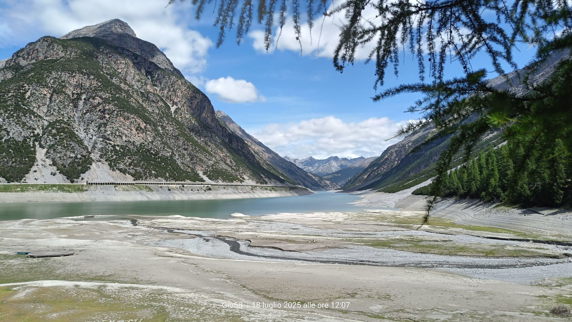
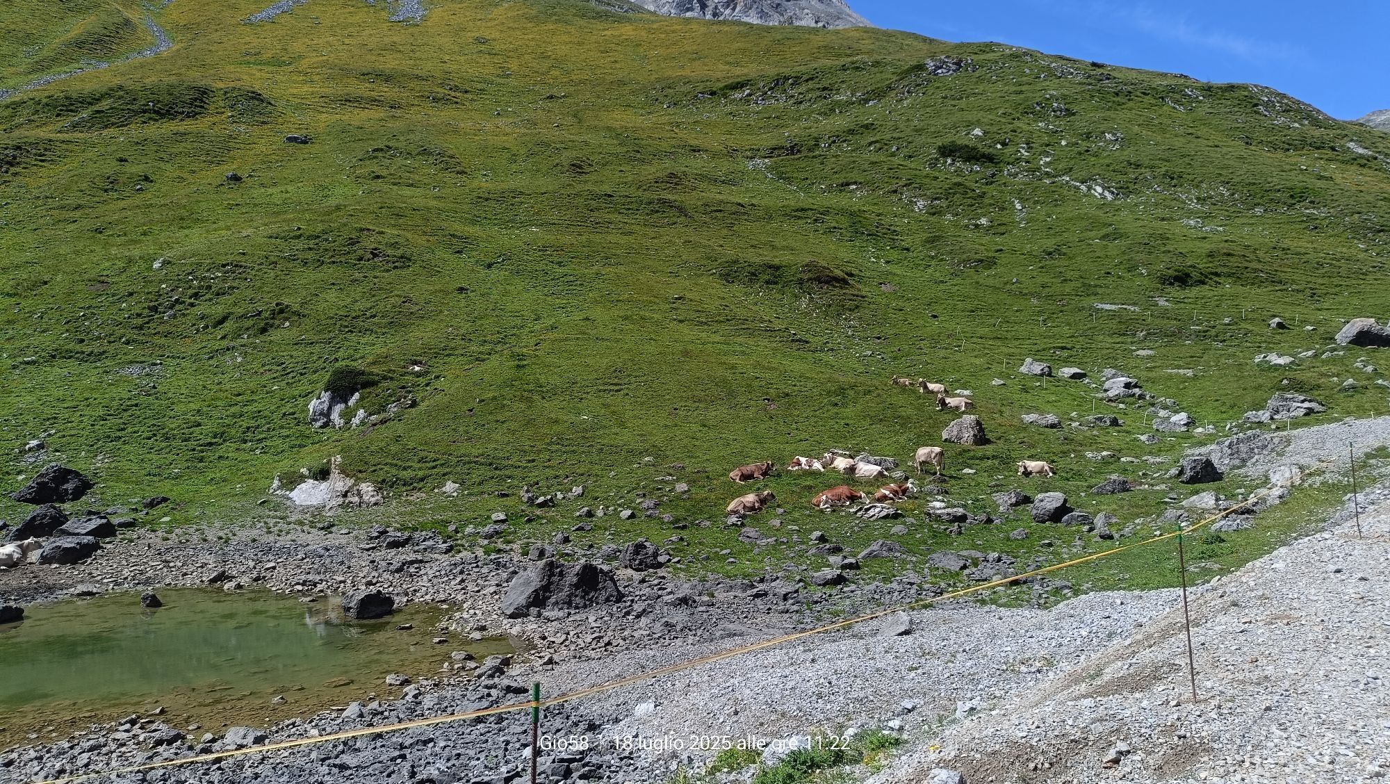
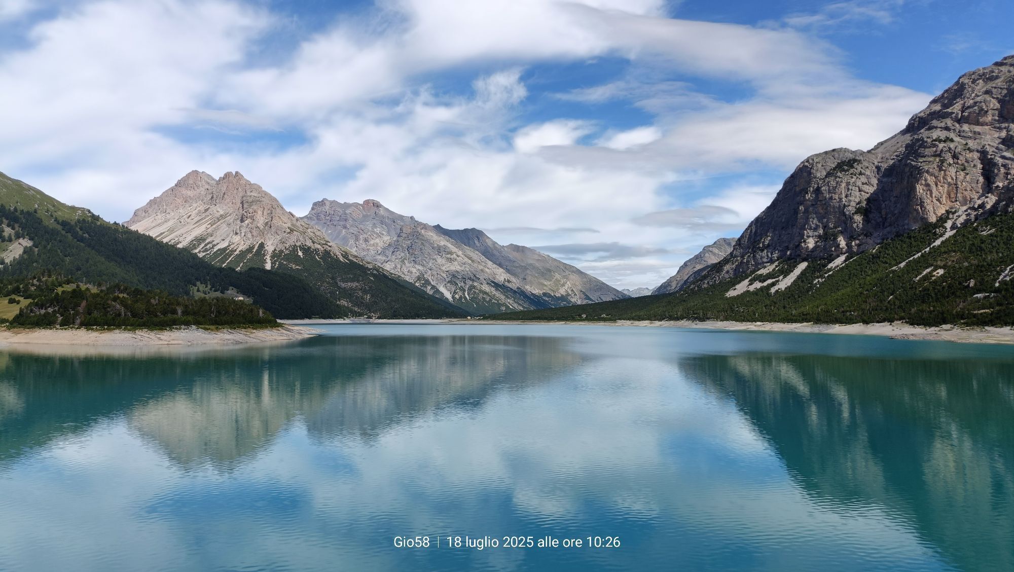
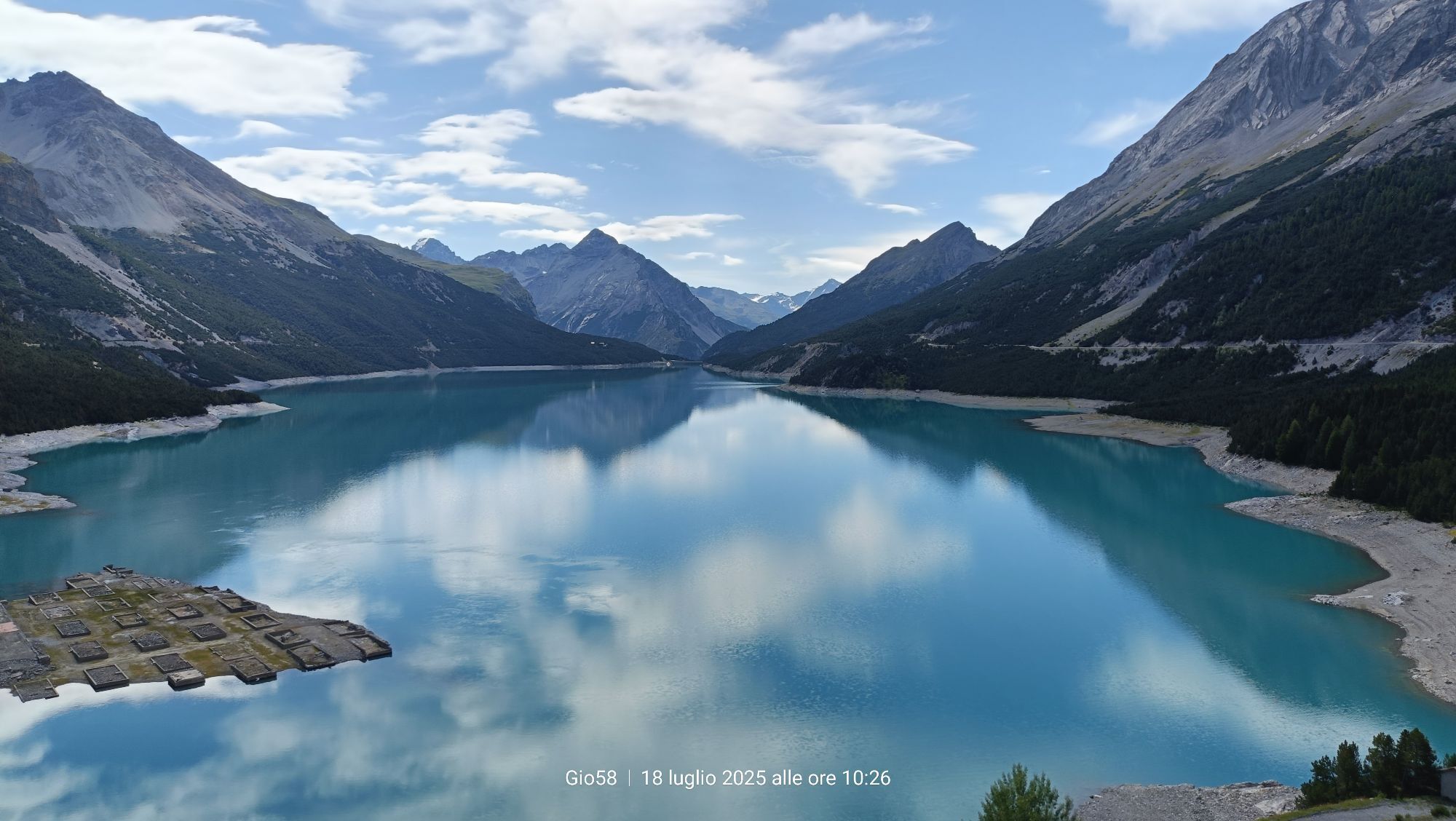
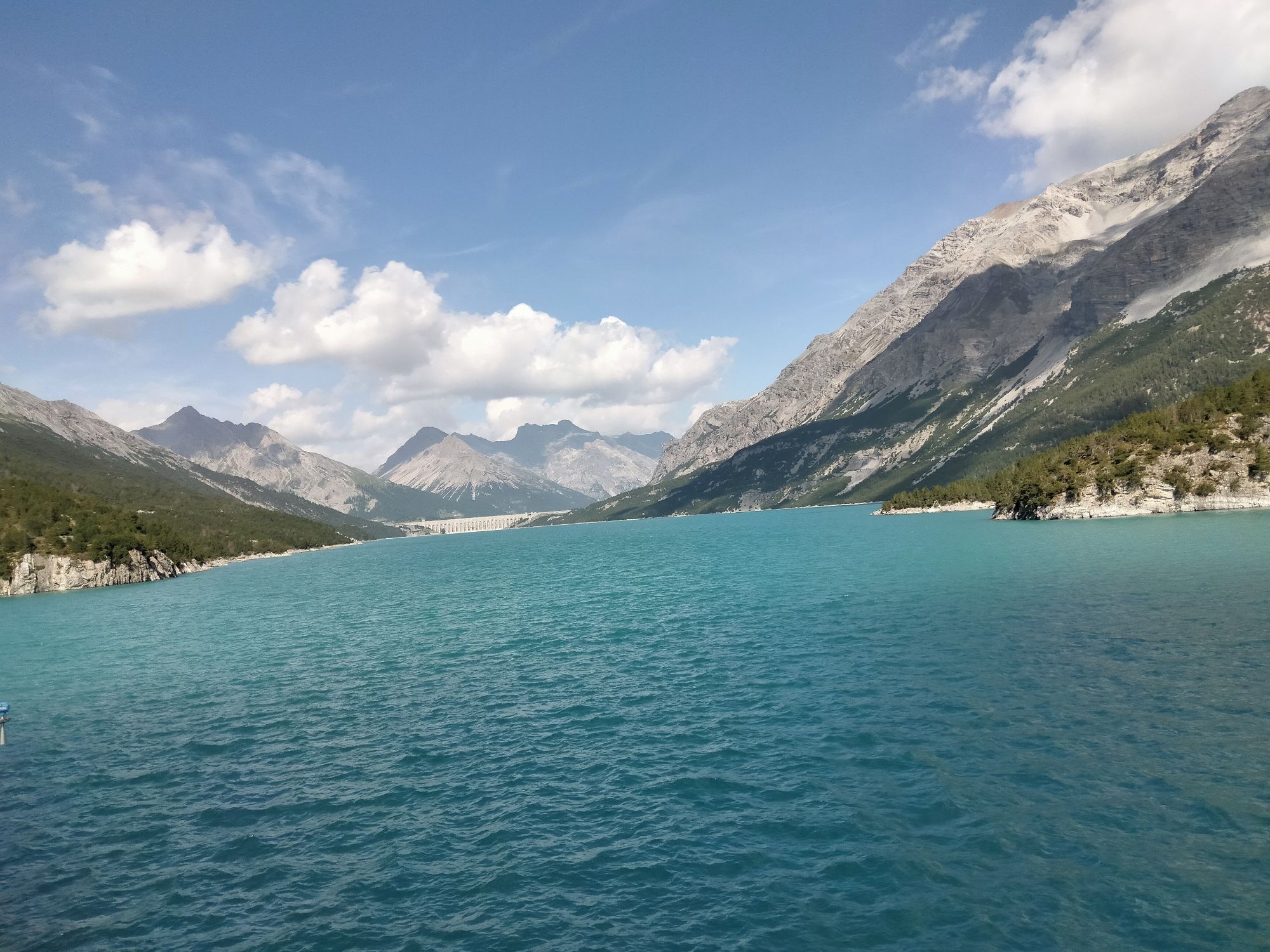
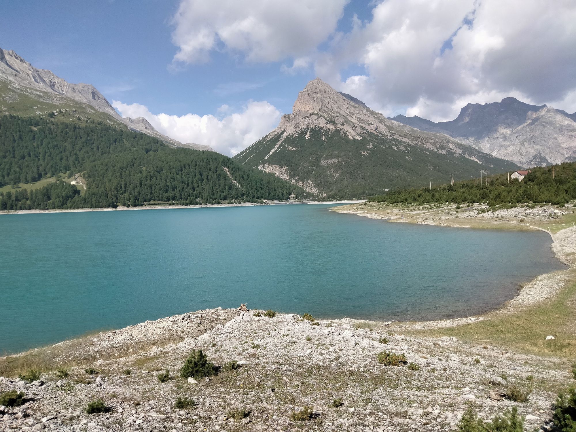
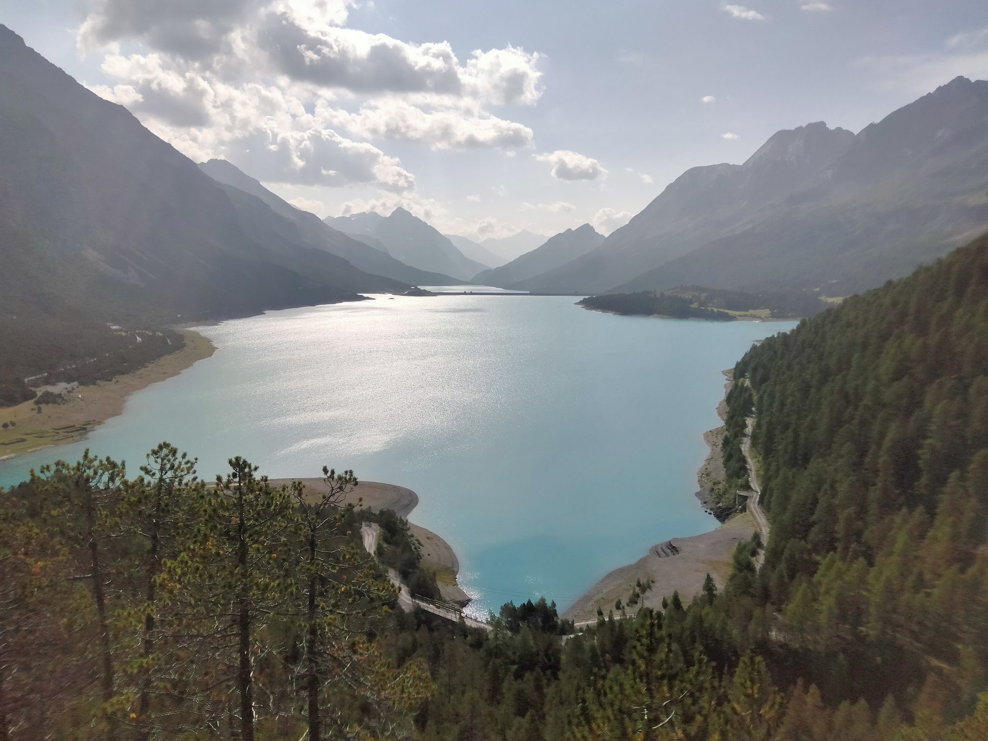
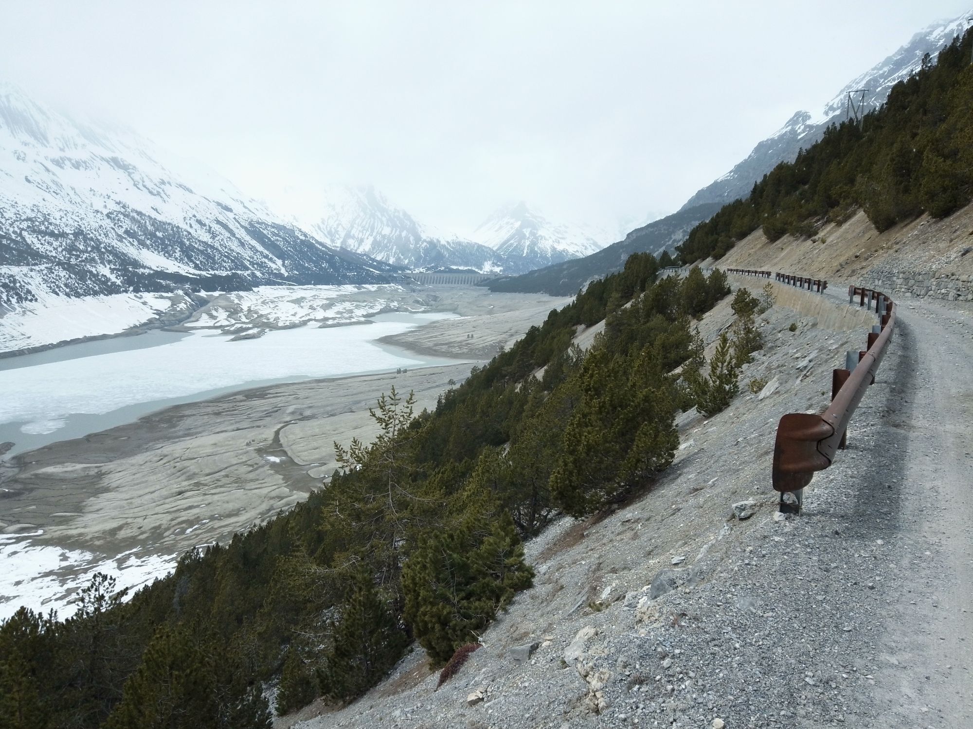
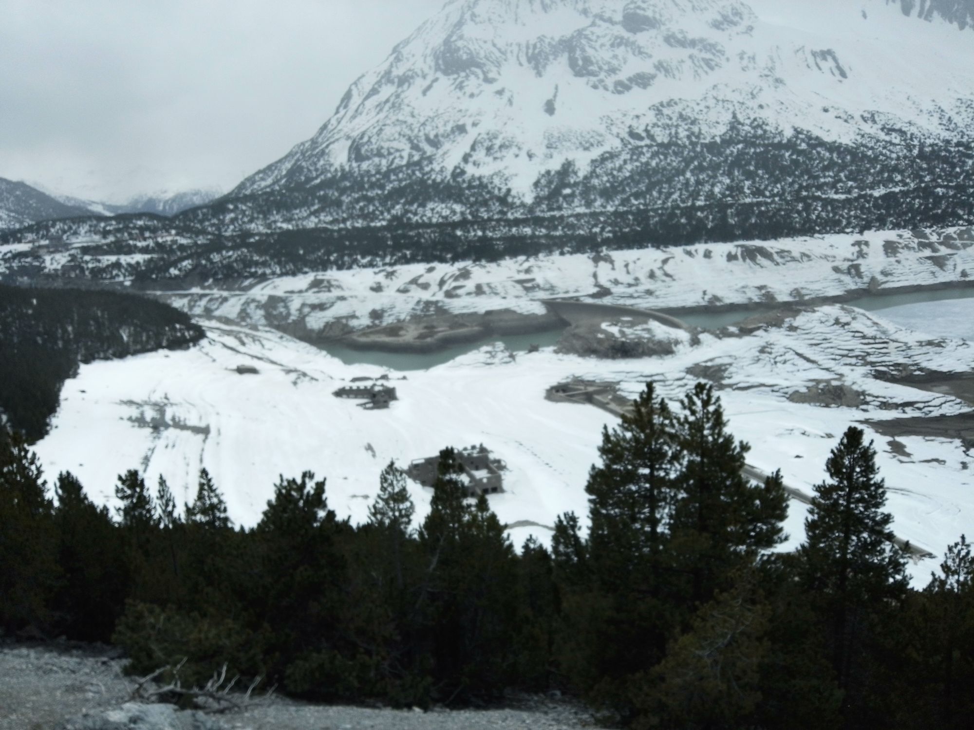
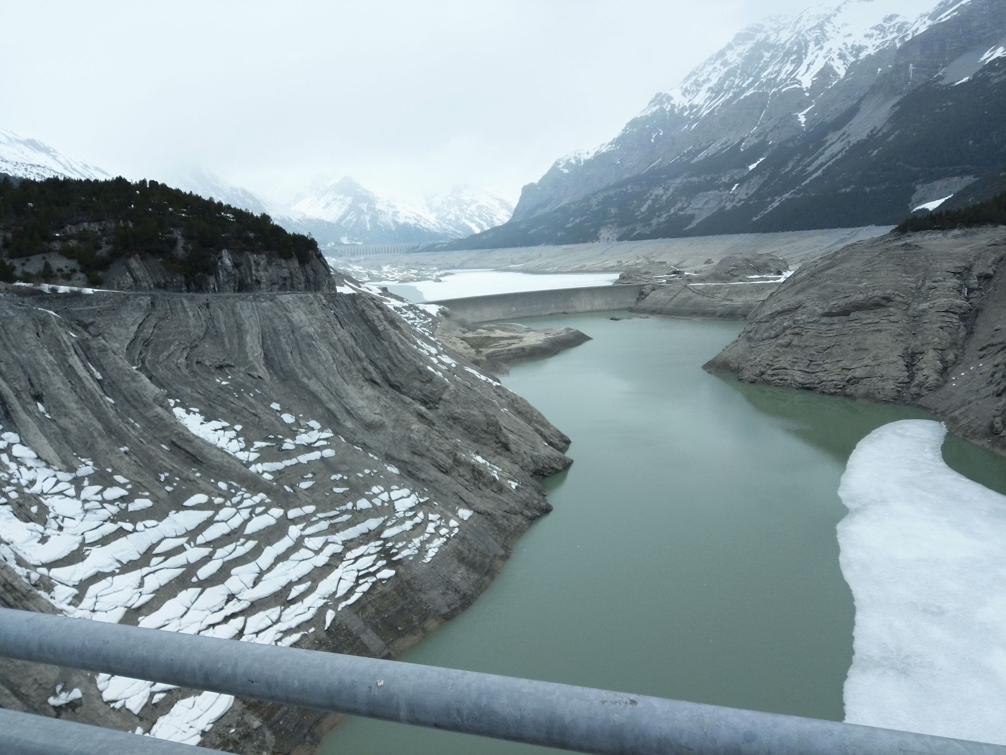
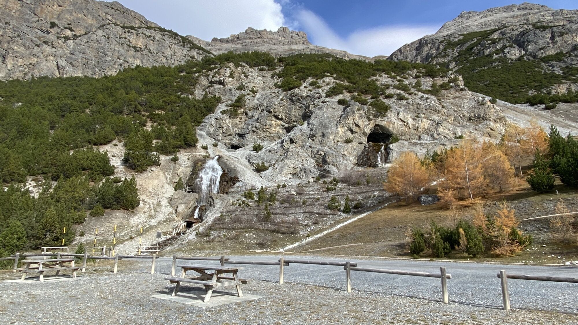
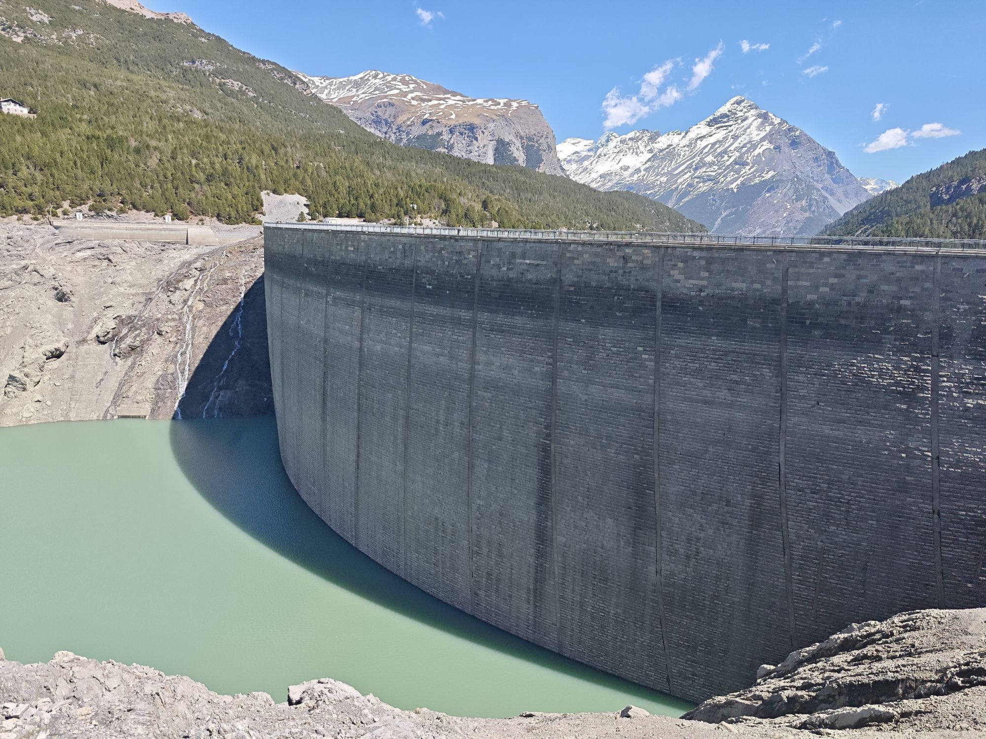
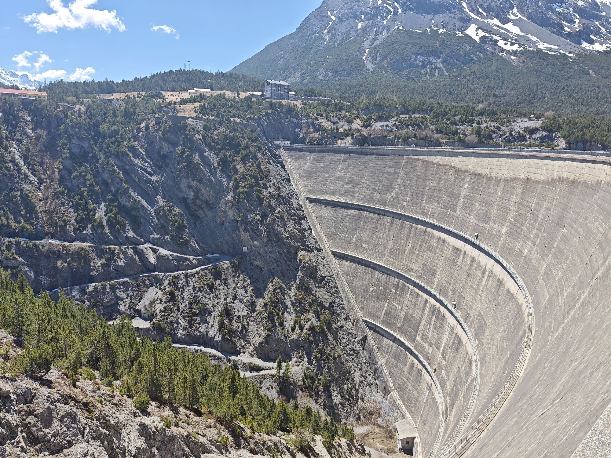
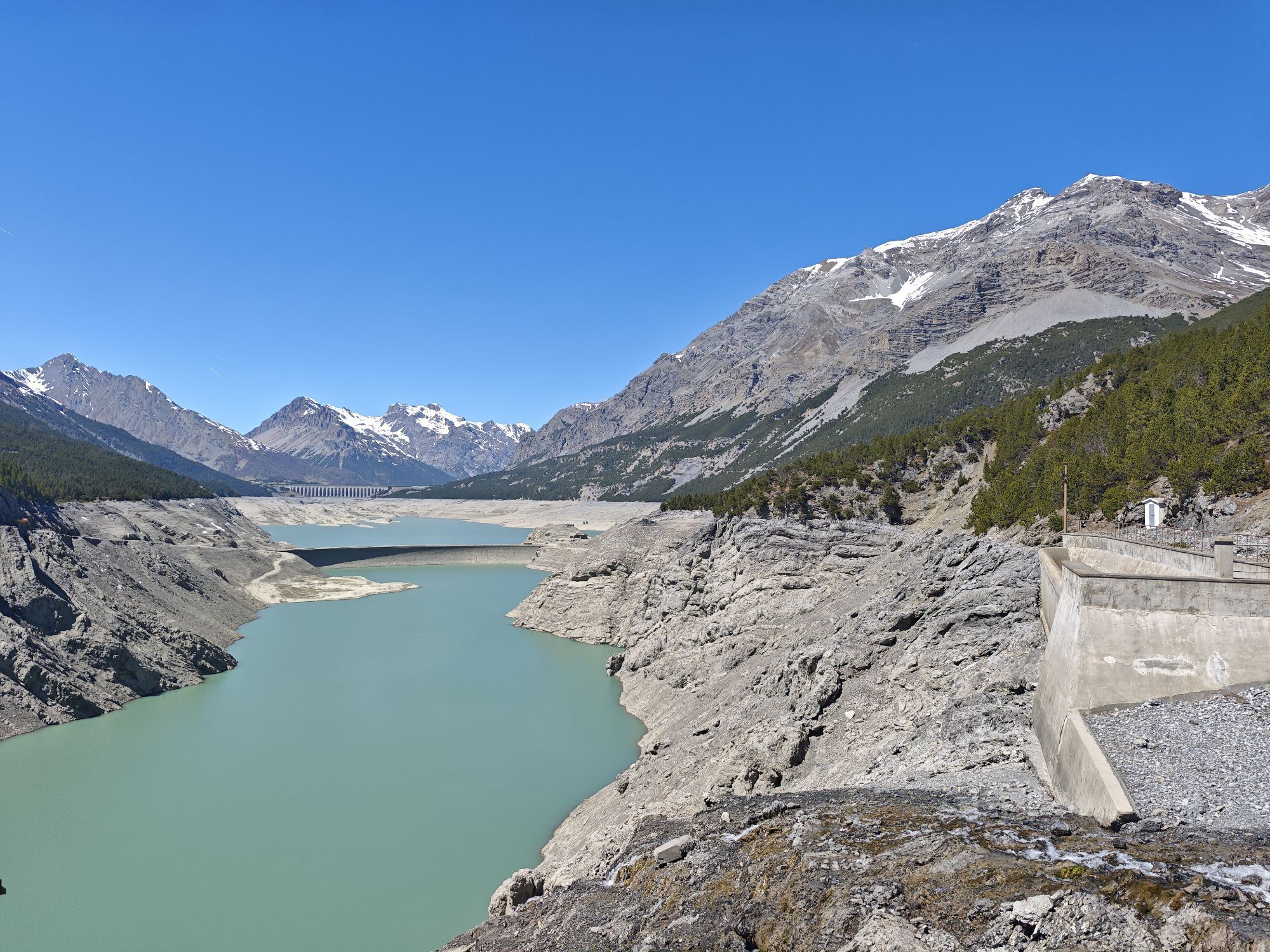
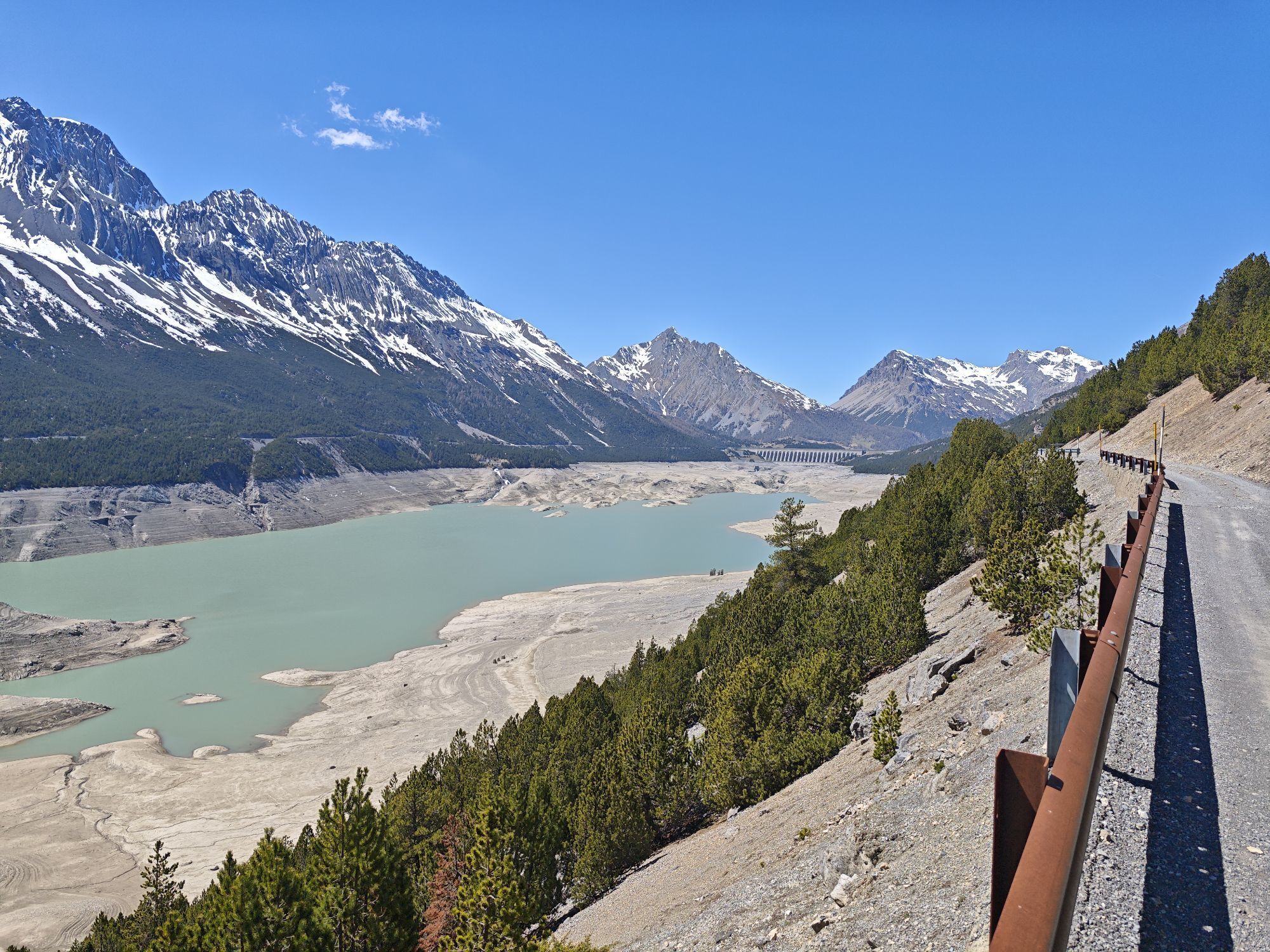
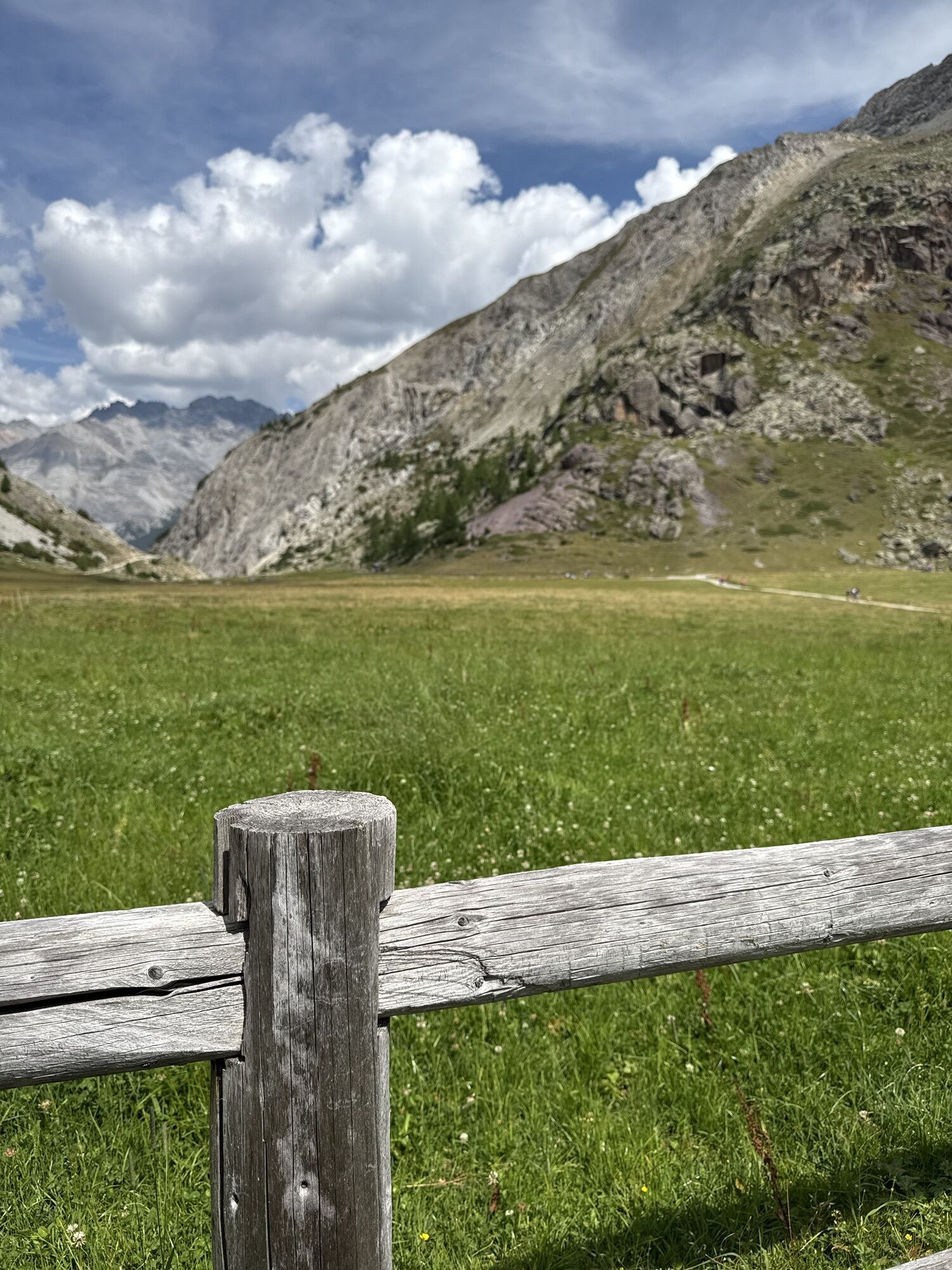
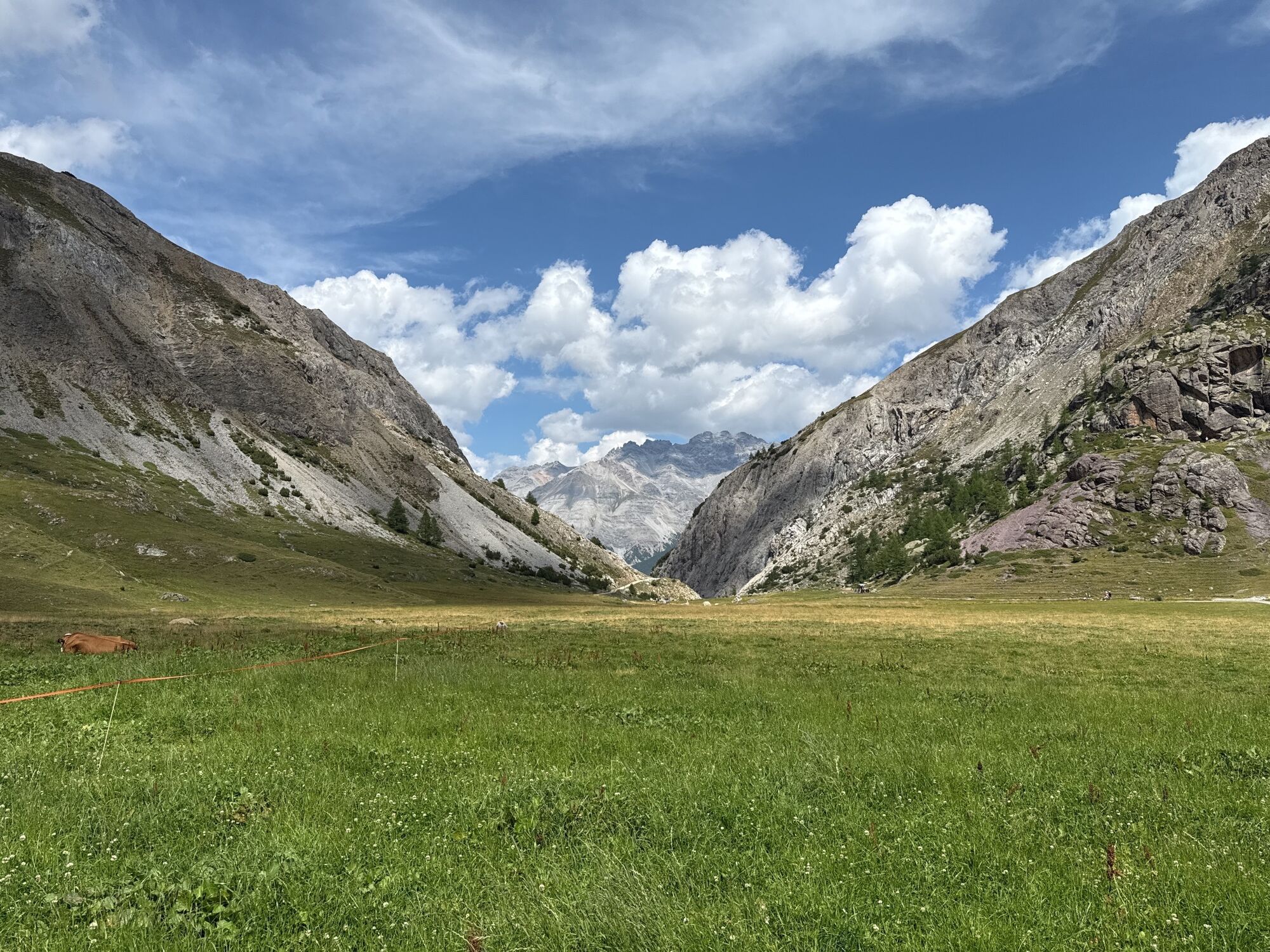
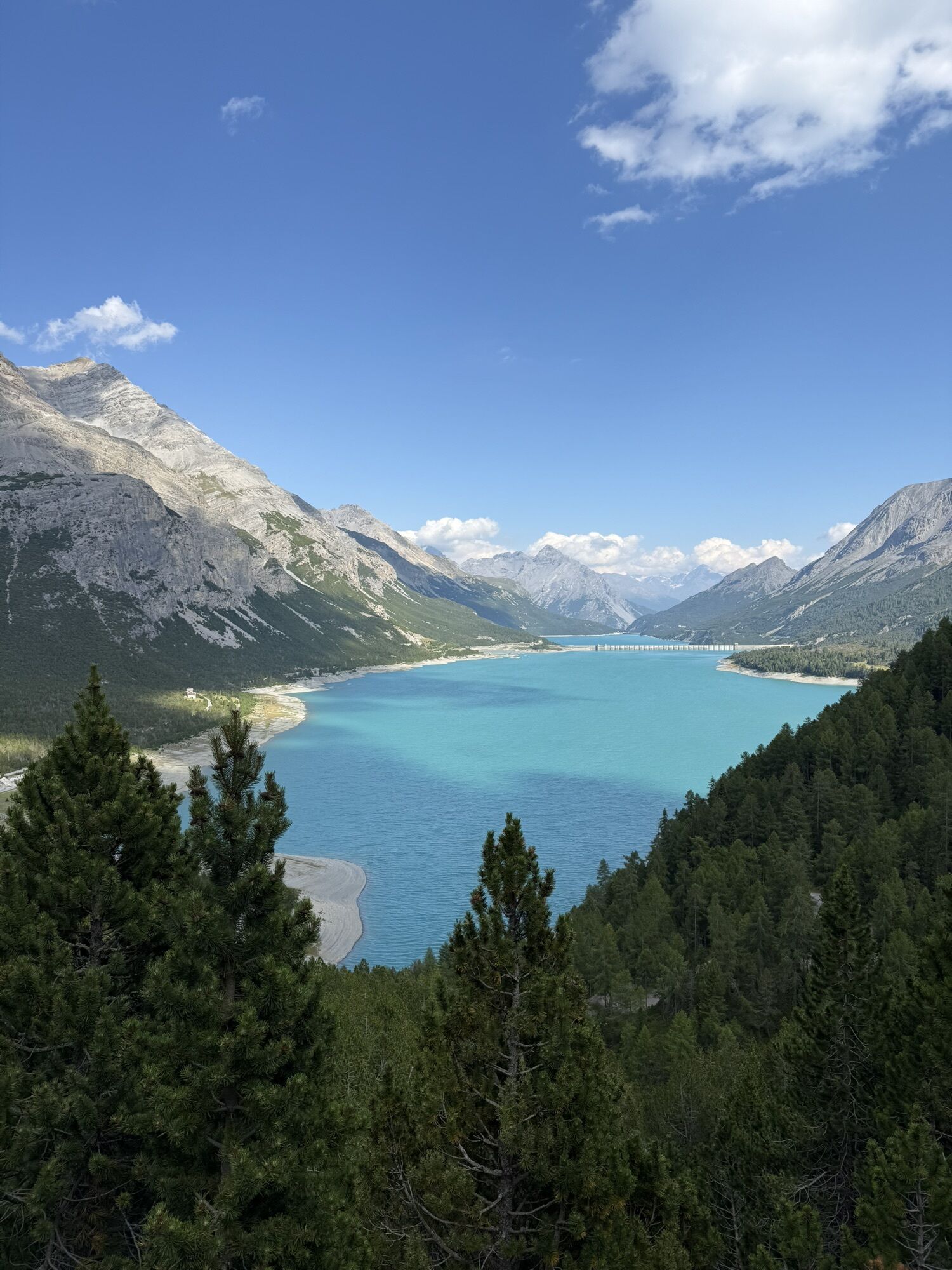
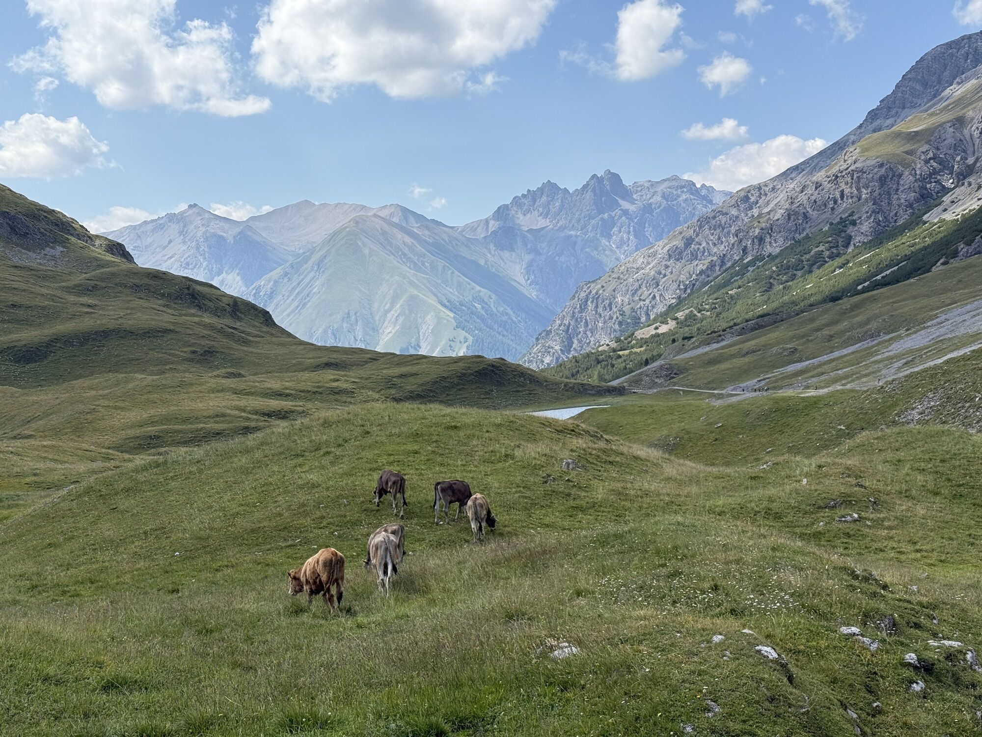
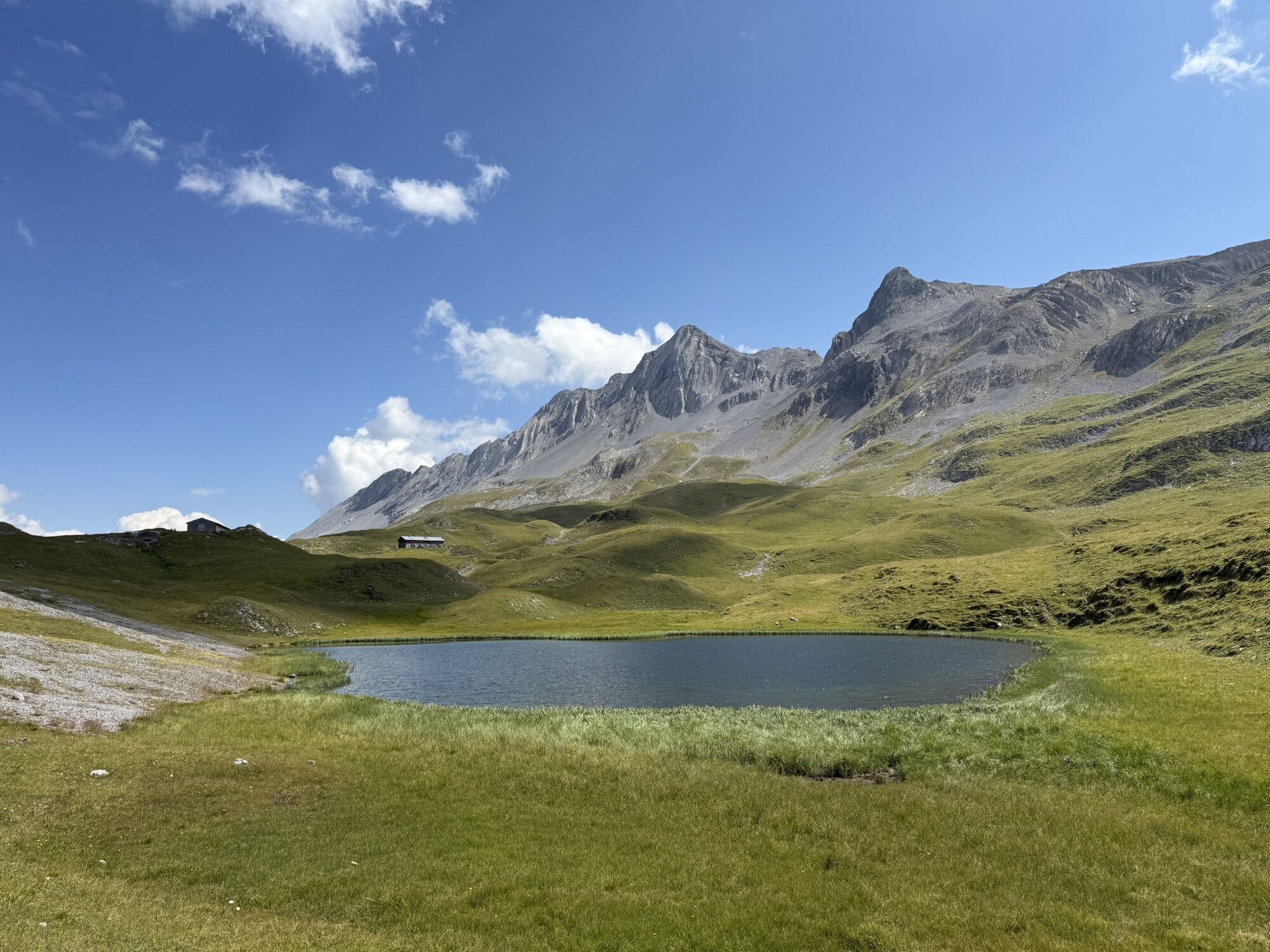
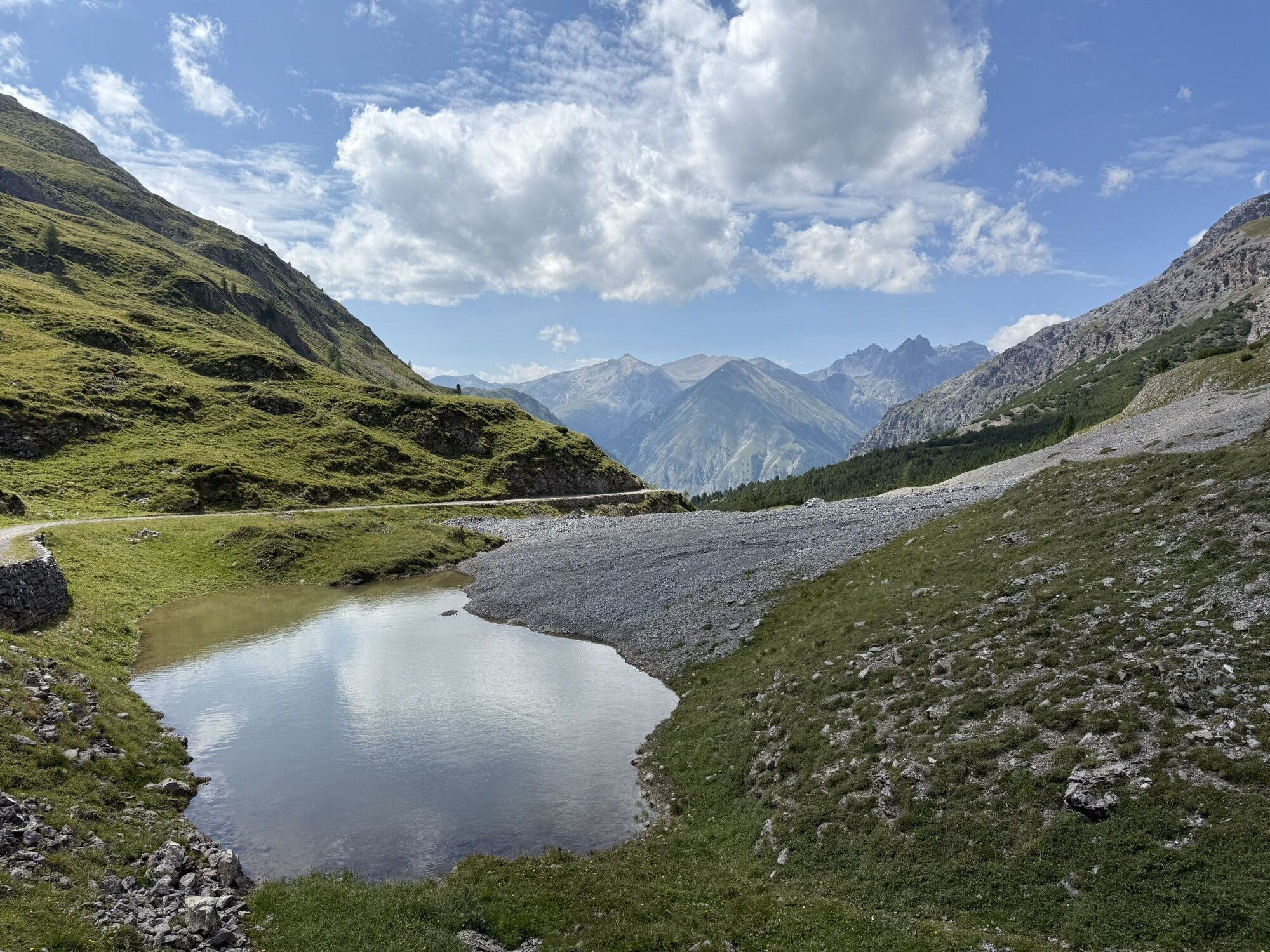
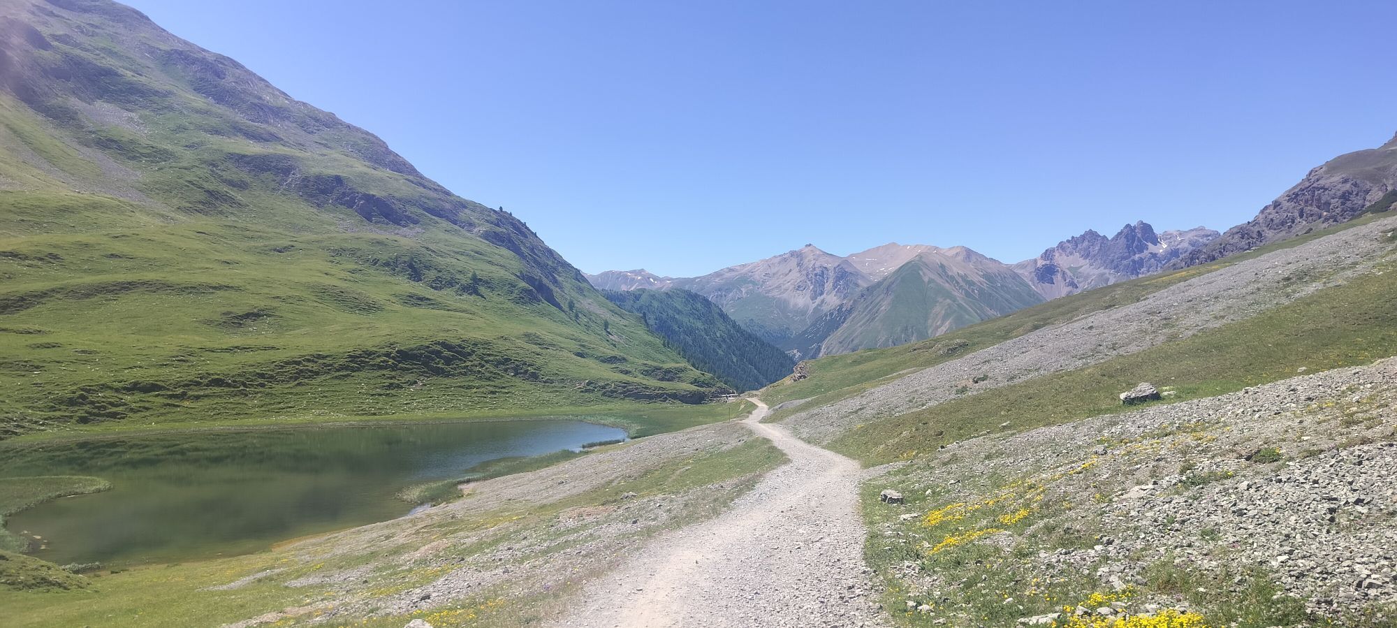
From the center of Livigno, riding along the Livigno River toward the lake, we tackle a flat stretch that takes us to the start of our tour, marked by an initial climb up a forest road. Surrounded by the larch forest, we reach the Alpisella Pass: Alpine lakes and unique colors will leave you speechless. Next, we ride along a fun single track that takes us to the spectacular headwaters of the Adda River. Continuing along the same single track, we’ll catch a bird’s-eye view of two immense reservoirs: Lake San Giacomo and Lake Cancano. A unique experience awaits you: we’ll cross the most imposing of their dams. Once past this spectacular spot, you’ll find yourself on the opposite side of the lake, where you’ll tackle a short but intense climb leading up to a fantastic plateau with green meadows, grazing cows, and a traditional mountain hut offering alpine products to savor. After a well-deserved break, we’ll continue on another single track, featuring a slightly technical climb, the famous Trela Pass, and an adrenaline-pumping descent nearly 6 km long that will take us—while having fun—all the way to the shores of Lake Livigno.
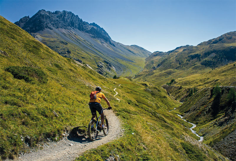
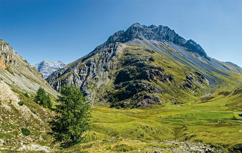
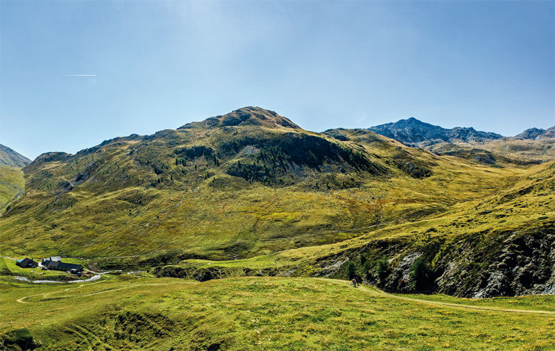
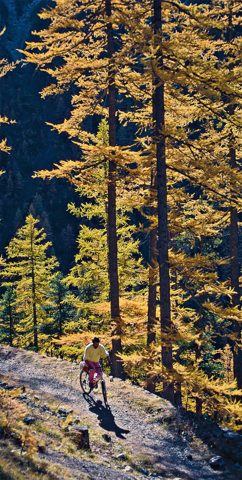
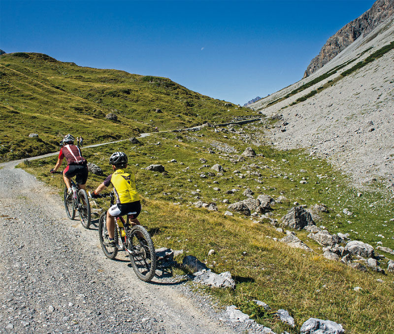
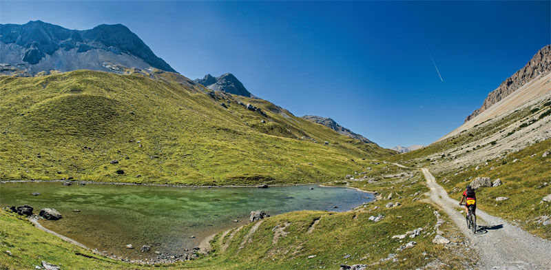
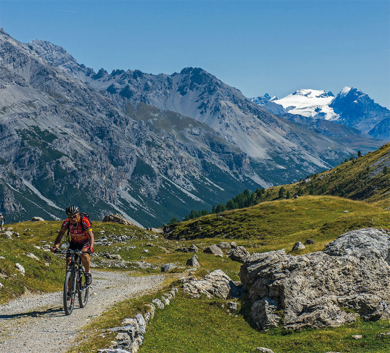
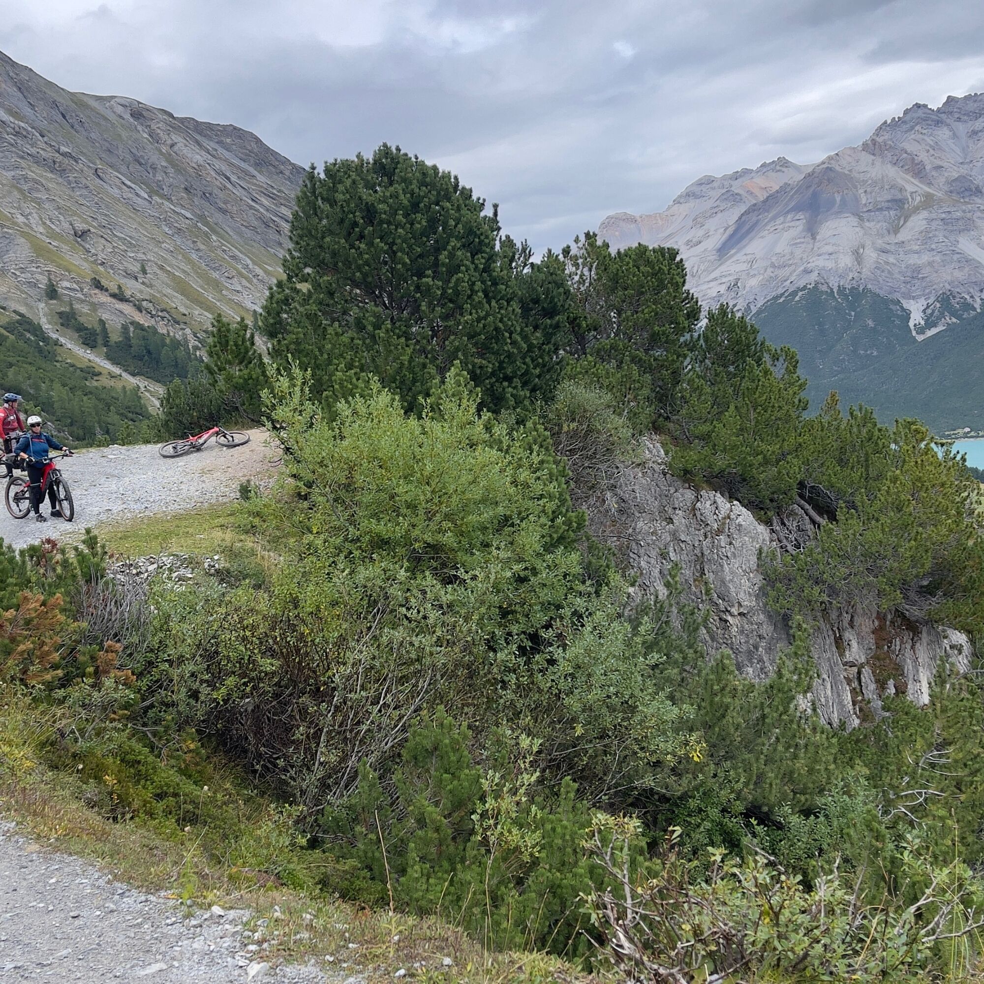
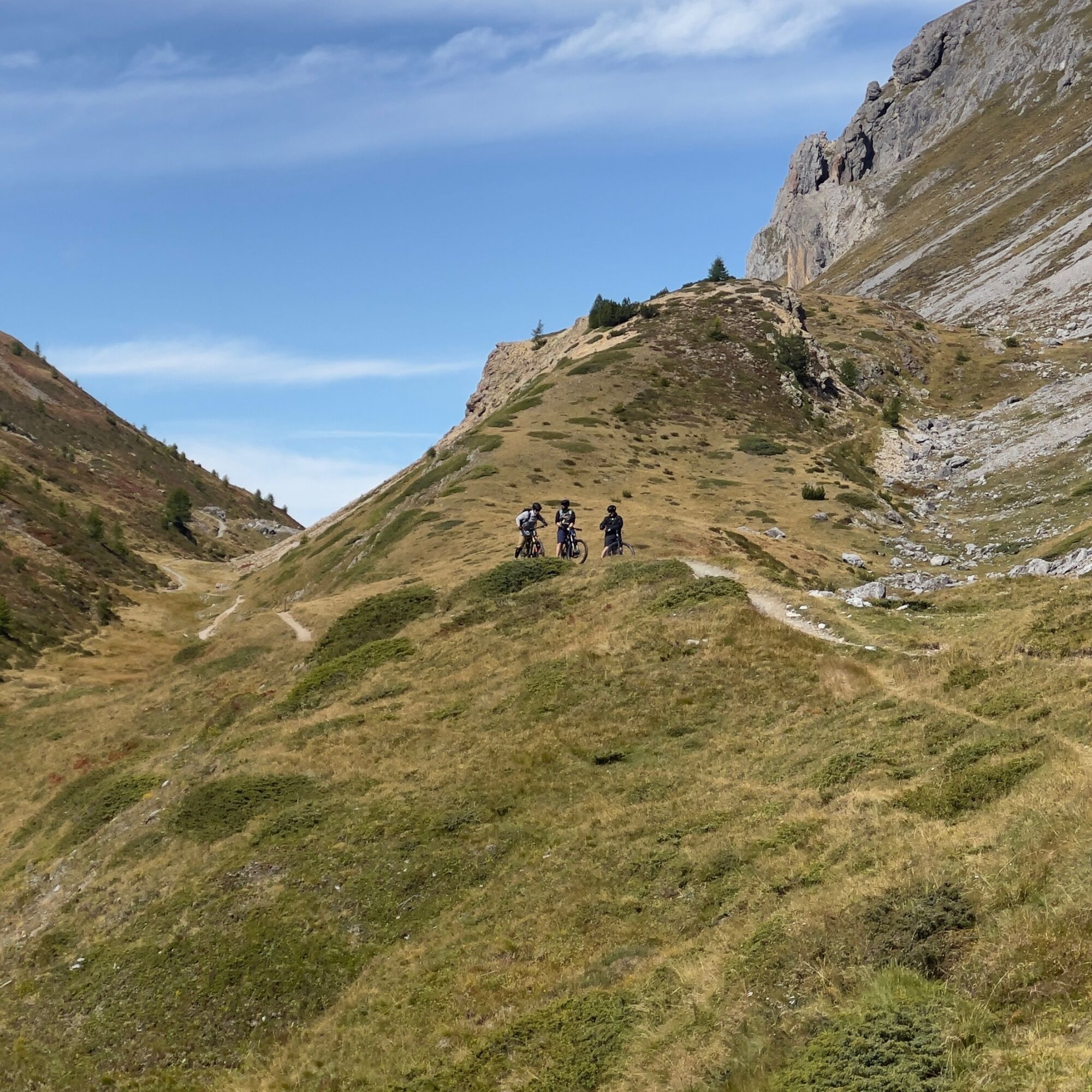
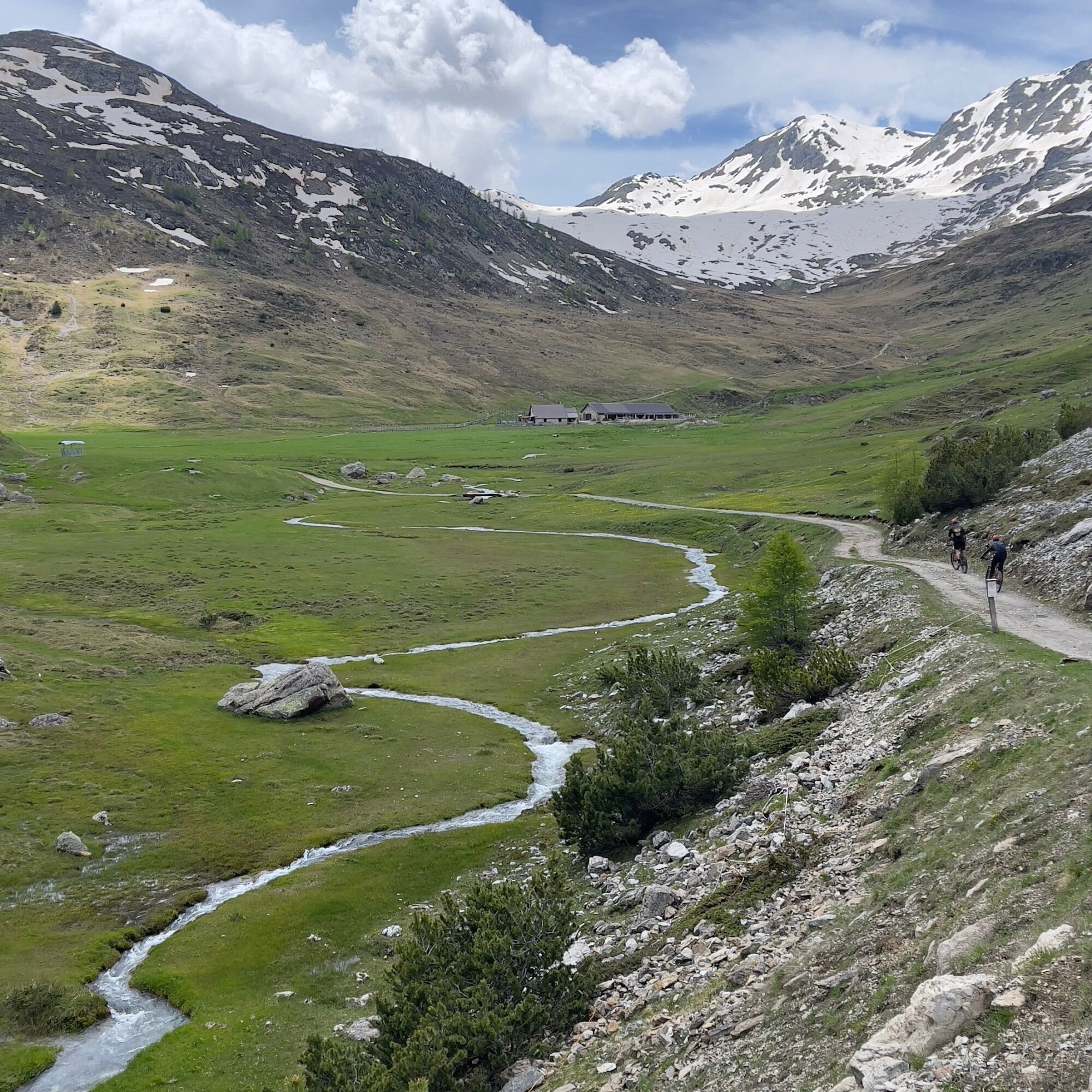
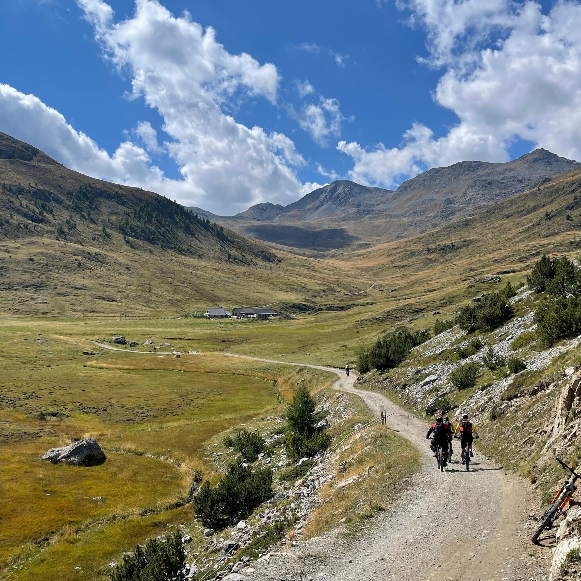

Livigno Center _ Lake Livigno _ Val Alpisella_Alpisella Pass _ Sources of the Adda River _ Lake San Giacomo _ Lake Cancano _ Val Trela _ Malga Trela _ Trela Pass _ Pila di Trepalle _ Canal Tort _ Lake Livigno.
Tak
Tak
I highly recommend taking photos at the mountain passes and, in general, from high up; before reaching the lakes along the trail from the headwaters of the Adda, you can catch a glimpse of the lakes and the entire valley below.
Always wear a helmet; knee pads are highly recommended. Check the weather, pack a rain jacket in your backpack, and bring spare inner tubes.
Livigno Pemont Park 4
S2
During peak times, be mindful of other hikers and always yield the right of way where the trail is narrow.
This day is almost entirely dedicated to this tour. Be sure to pack water and a snack in your backpack, though you’ll find rest stops and water fountains along the way.

Kamery internetowe z trasy
-
Mottolino
-
Seggiovia Federia Monte
-
Monte Della Neve
-
Livigno - Mottolino
-
Mottolino - Bike Park
-
Livigno Ski School Area
-
Livigno
-
Livigno - Crap
-
Livigno
-
Livigno Teola
-
Livigno - Hotel Primula
-
Livigno Ortszentrum
-
Livigno
-
Livigno Centro | Livigno Town Center
-
Pista ciclabile
-
SnowFarm
-
Livigno Centro | Livigno Town Center
-
Pista ciclabile
-
Pista ciclabile
-
SnowFarm
-
SnowFarm
-
Centro Sci Fondo | Cross Country Stadium
-
Centro Sci Fondo | Cross Country Stadium
-
Centro Sci Fondo | Cross Country Stadium
-
Centro Sci Fondo | Cross Country Stadium
-
Centro Sci Fondo | Cross Country Stadium
-
Centro Sci Fondo | Cross Country Stadium
-
Mottolino Panorama
-
Carosello - Intermedia
-
Scuola Sci Centrale
-
Scuola Sci Centrale
-
Scuola Sci Centrale
-
Scuola Sci Centrale
-
Scuola Sci Centrale
-
Scuola Sci Centrale
-
Scuola Sci Centrale
-
Seggiovia Federia Monte
-
Seggiovia Federia Monte
Uzyskaj wgląd
Zawsze na żywo z ponad 9 500 kamer internetowych. bergfex Jako użytkownik Pro, możesz teraz zobaczyć odpowiednie kamery internetowe dla wielu wycieczek w aplikacji wycieczki od. Pozwala to na bezpośredni podgląd aktualnych warunków.
Aktywności na trasie

Popularne wycieczki w okolicy
-
4,5
Sonnenaufgang auf der Rötelspitze im Nationalpark Stilfserjoch
Wędrówka 2,02 km -
3,5
Watervallen wandeling
światłoWędrówka 4,95 km -
3,4
Sta.Maria, Prà da Vau - Lai da Rims - Alp Sot - Prà da Vau
ciężkiWędrówka 14,7 km -
4,8
Wanderung: Heilige drei Brunnen zur Berglhütte
światłoWędrówka 5,51 km -
5,0
Crap da la Pare' with Joëlette
światłoWędrówka 4,58 km -
4,2
Süsom Givè - Chaschlot - Valbella - Süsom Givè
średniWędrówka 9,73 km -
5,0
TIP Panorama Road Tyrol ➤ Stelvio Pass
światłoMotorrad 40,8 km -
4,0
Ortler Höhenweg
ciężkiWycieczka wysokogórska 123,2 km -
5,0
His Majesty the Ortles
ciężkiDroga rowerowa 24,8 km -
4,5
Stelvio Epic Rides: Passo dello Stelvio
ciężkiDroga rowerowa 20,9 km

Wędrówki i tropienie


Nie przegap ofert i inspiracji na następne wakacje
Twój adres e-mail została dodana do listy mailingowej.





