






Alta Via della Valmalenco stage 3
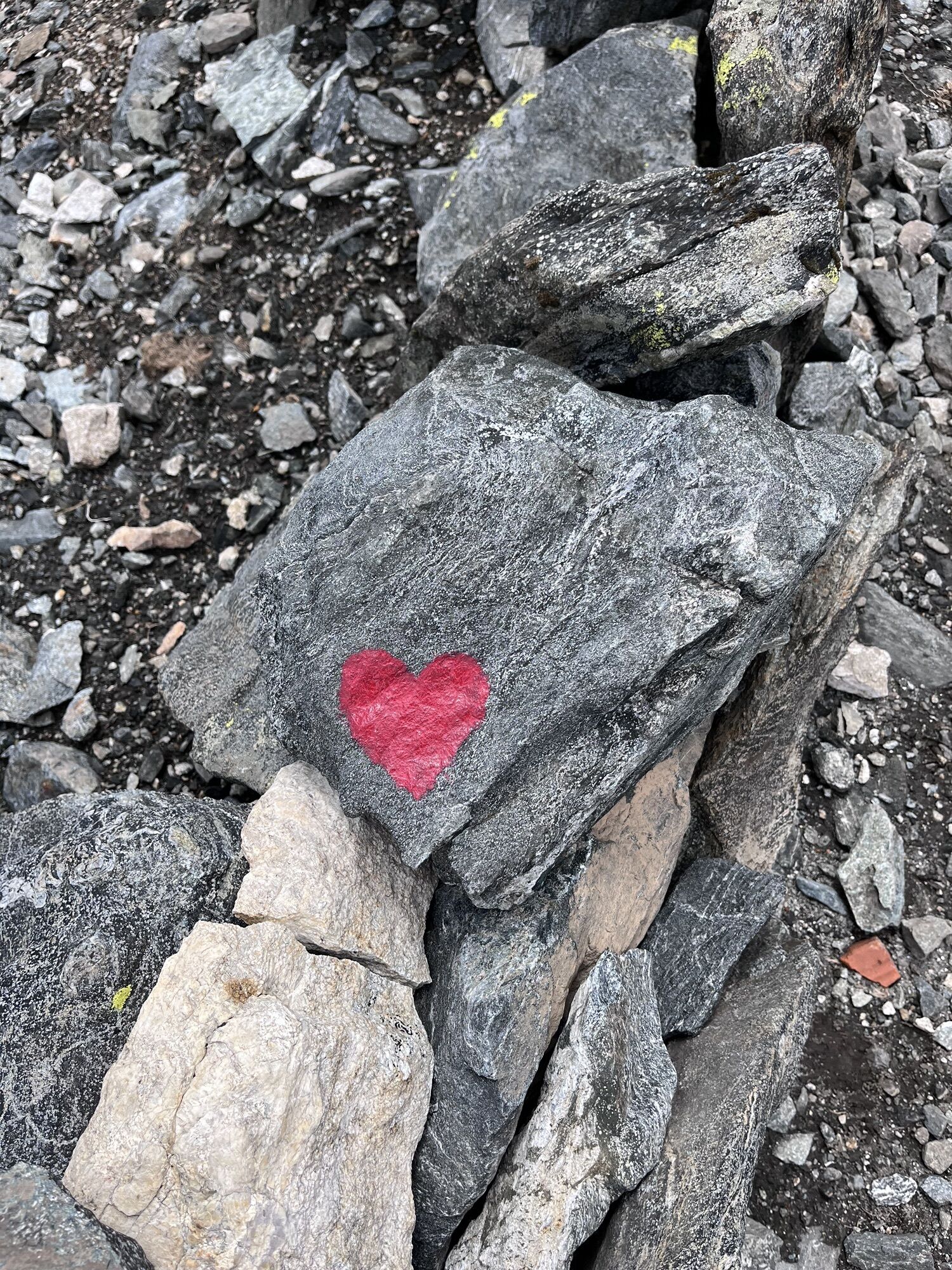
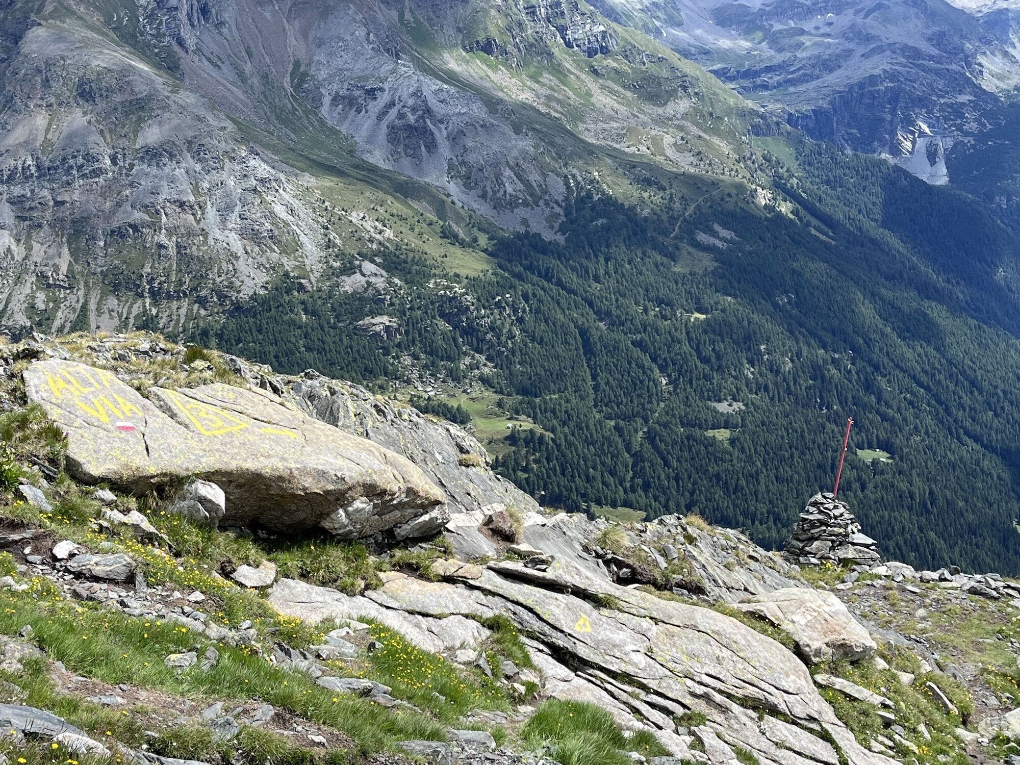
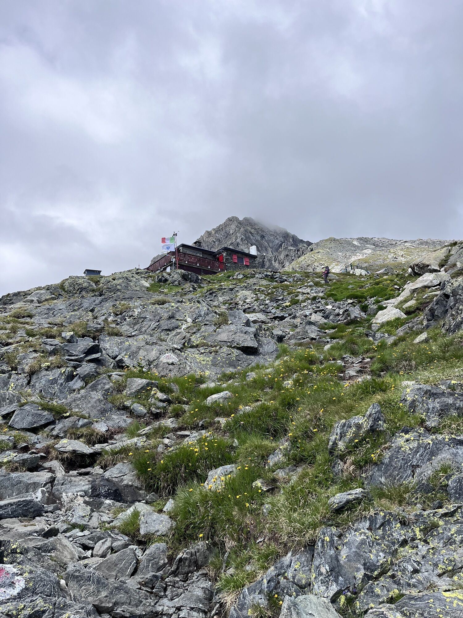
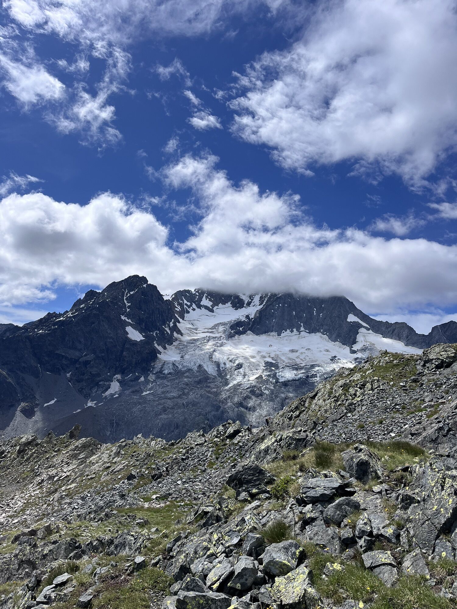
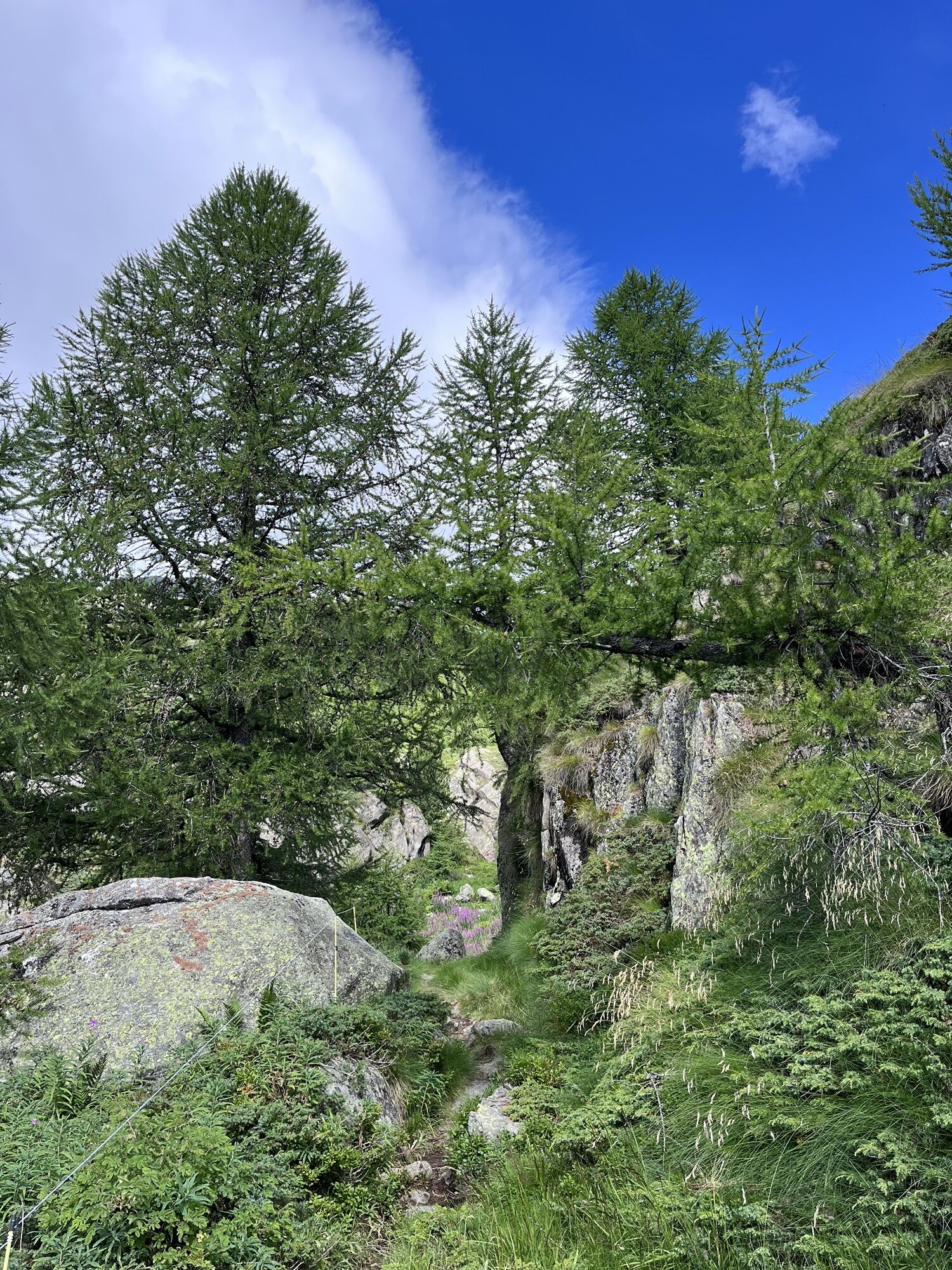
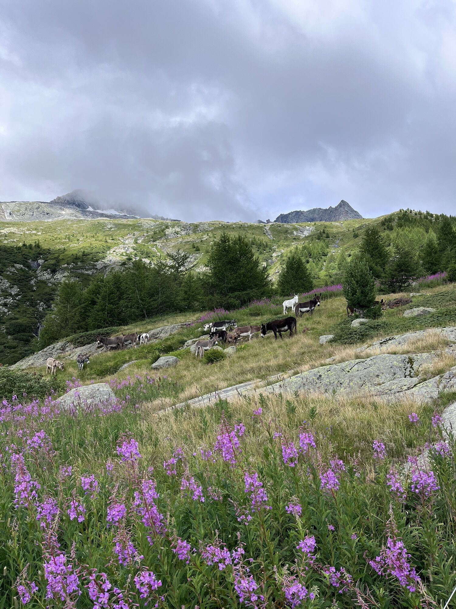
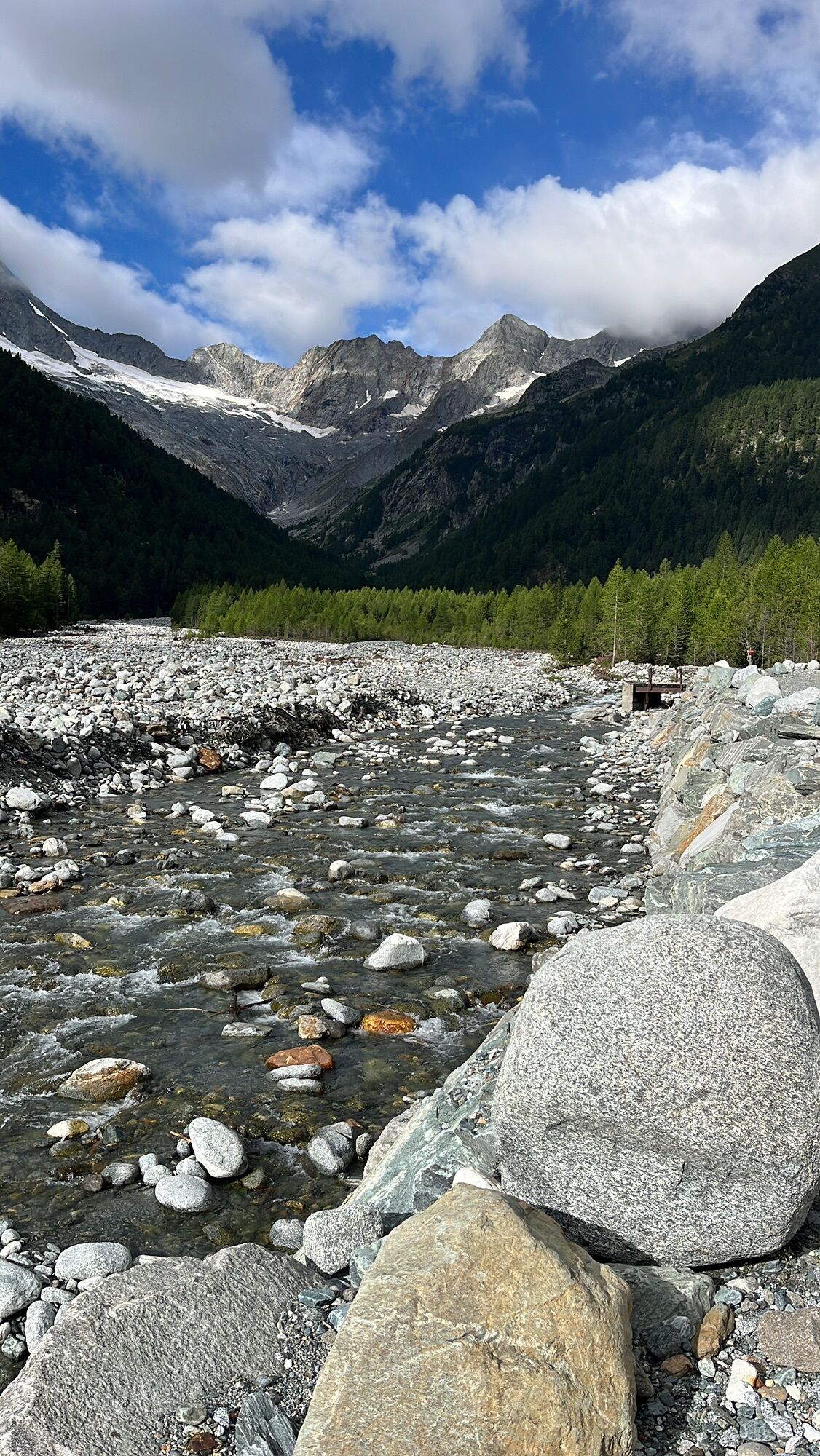

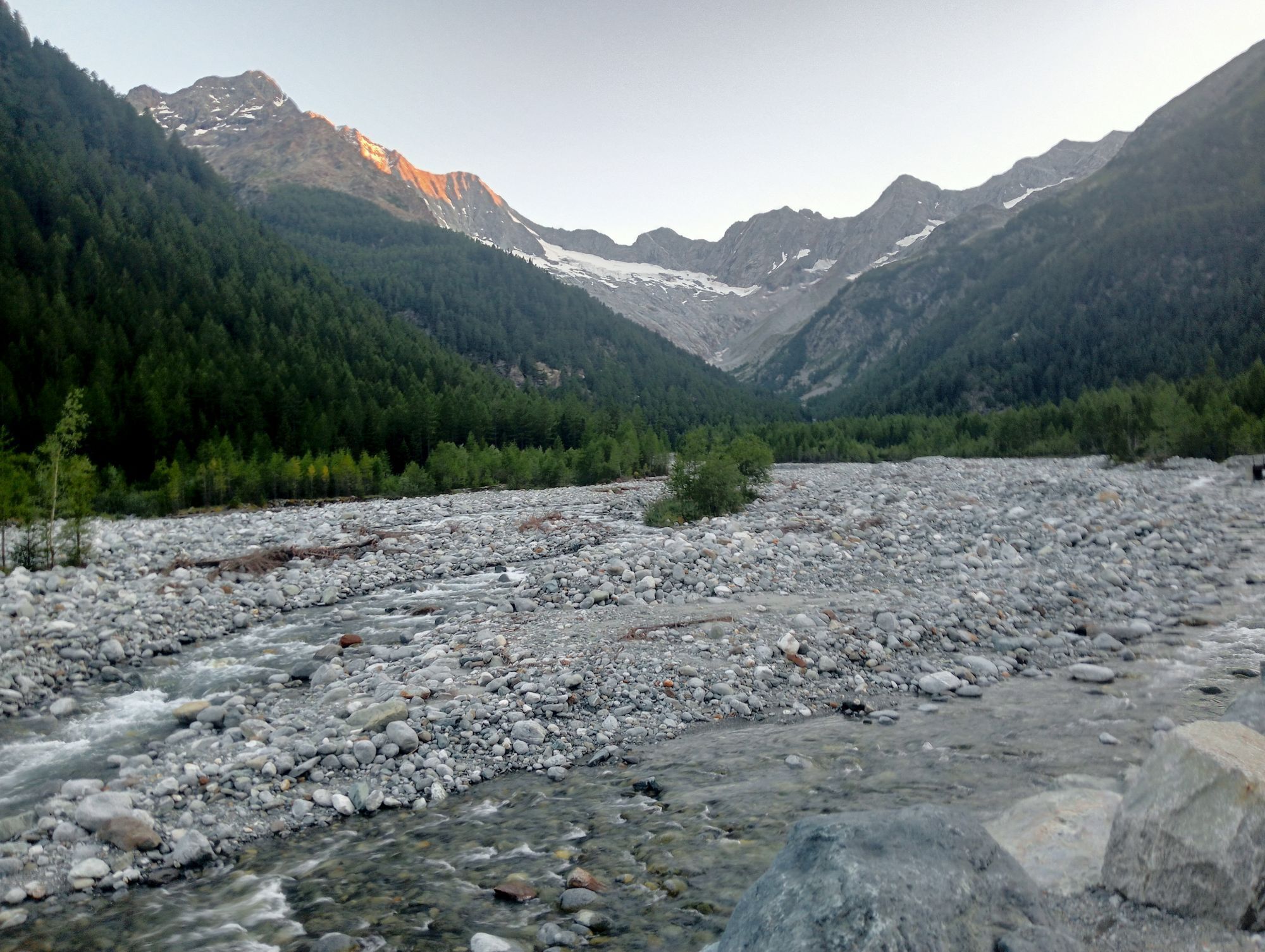
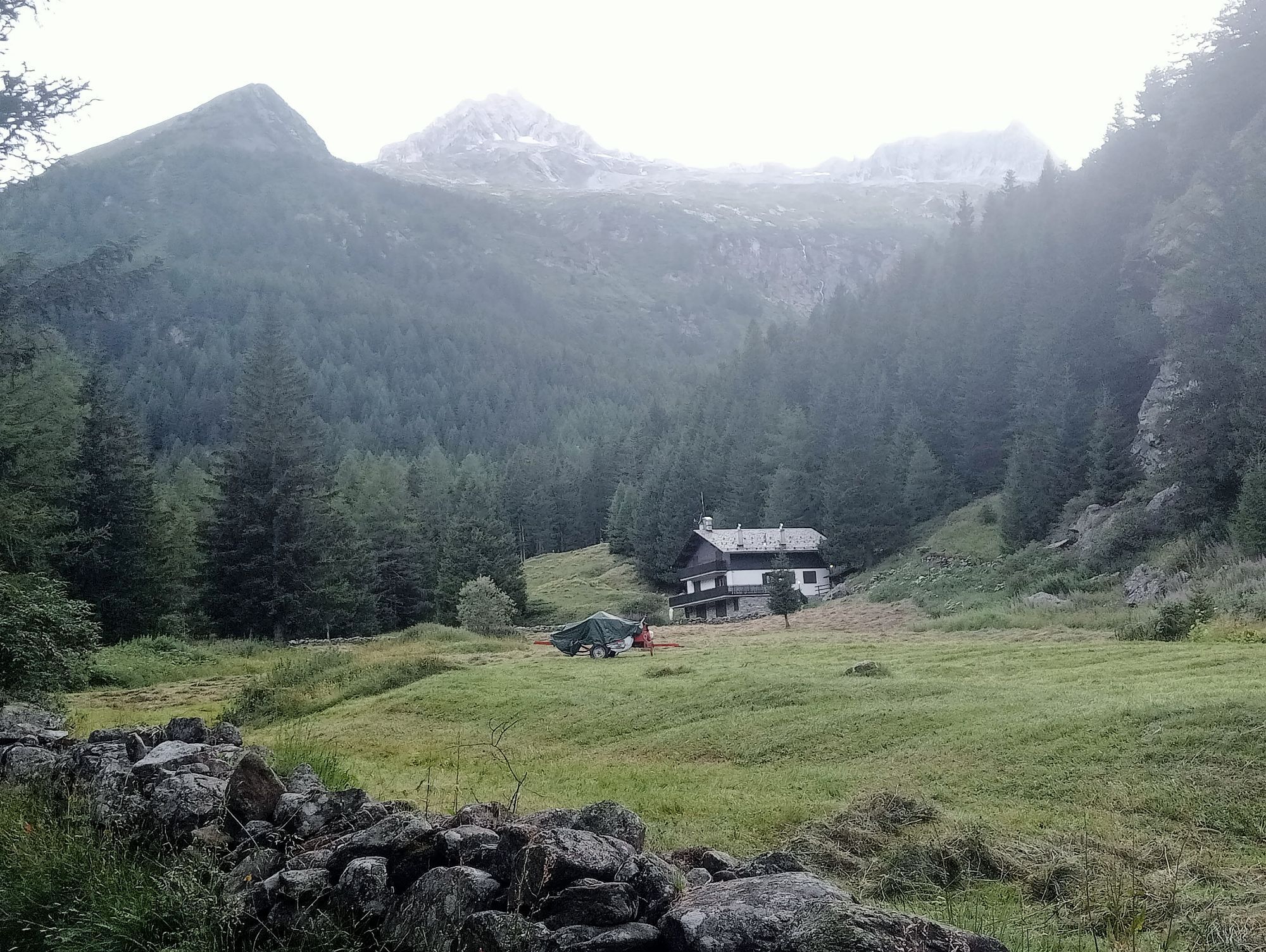
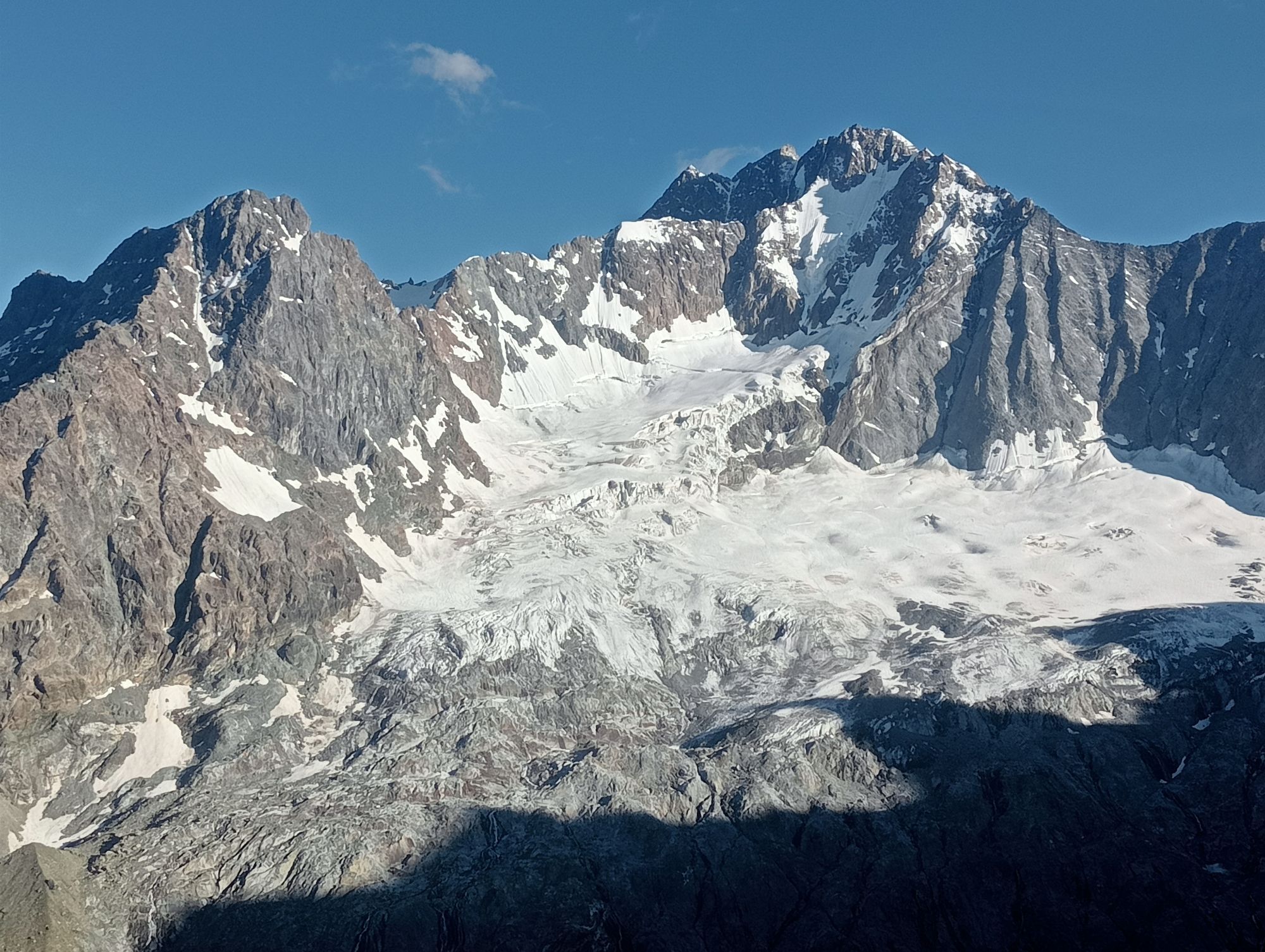
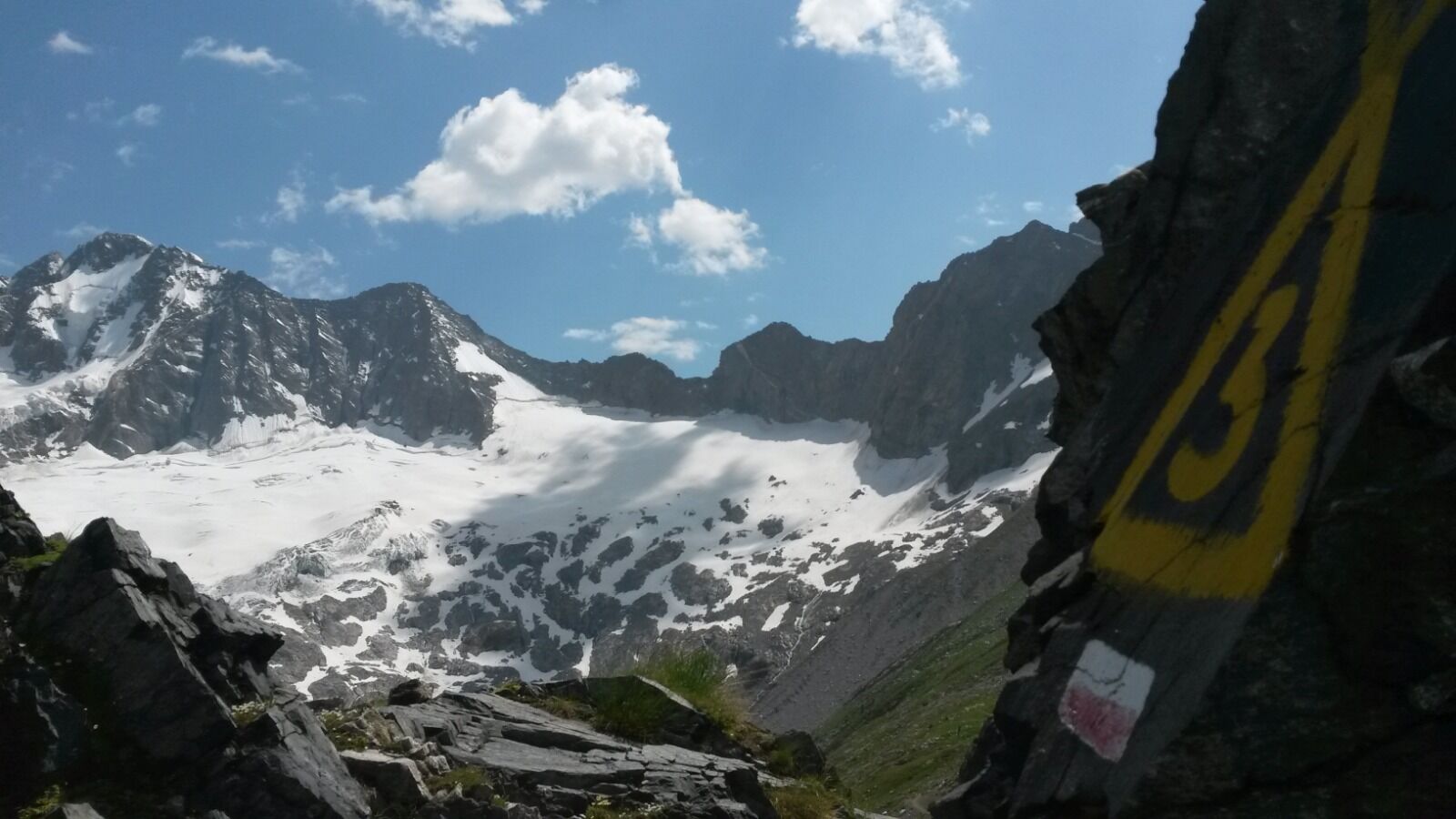
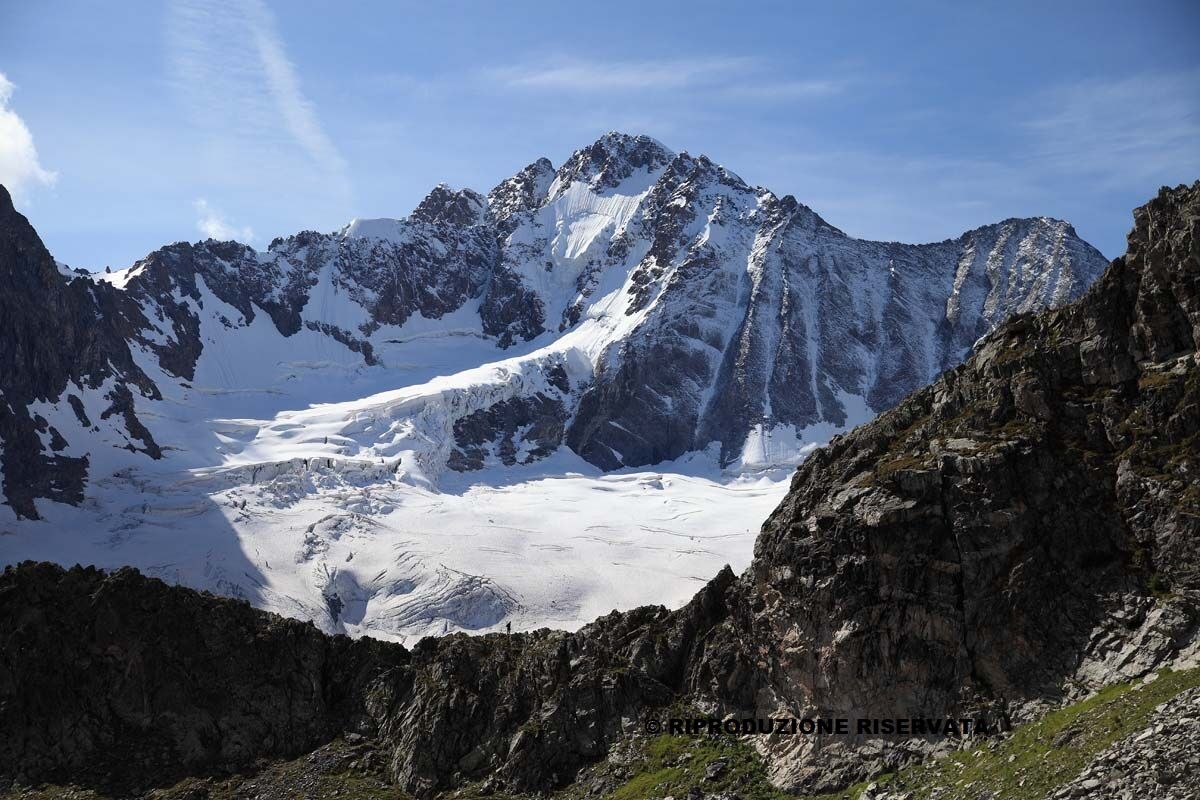
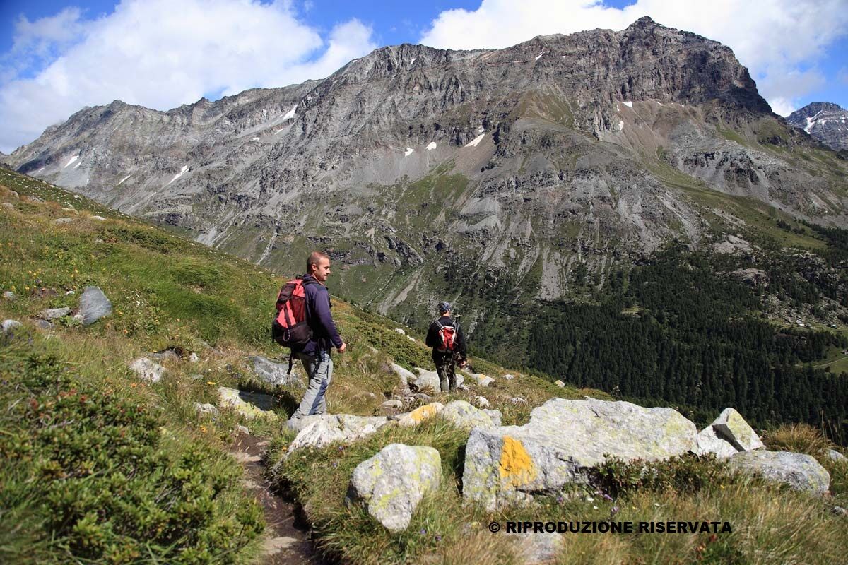
Extraordinary stage, for the grand environment and for the geomineralogical interest of the areas crossed. Wild route, partly on uneven ground, along Val Sissone, to be attempted with good visibility conditions:...
Extraordinary stage, for the grand environment and for the geomineralogical interest of the areas crossed. Wild route, partly on uneven ground, along Val Sissone, to be attempted with good visibility conditions: from the Del Grande Camerini refuge, reached after a short equipped rocky section, you can enjoy the spectacular view offered by the north face of Monte Disgrazia.
Overnight accommodation: Rifugio Tartaglione and hotels in Chiareggio (Gembro, Pian del Lupo, Tana del Grillo, Chiareggio, Genziana)


FORBICINA 1664M VAL SISSONE RIF. DEL GRANDE CAMERINI 2563M CHIAREGGIO 1600M
Tak
Mountain backpack with all the essentials for trekking
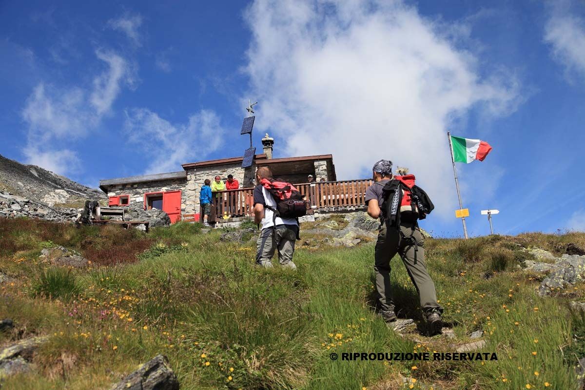
Short equipped rocky section to reach the Del Grande refuge.
There are 2 metal cables that assist the climb, only caution is required, no via ferrata kit needed.
Public transport reaches Chiareggio only in July and August

Popularne wycieczki w okolicy
- 4,8
Maloja - Motta Salacina - Lägh da Cavloc - Maloja
średniWędrówka 10,3 km - 4,8
Val Roseg - Tschierva Hut
średniWędrówka 5,12 km - 4,8
Corvatsch Murtèl - Fuorcla Surlej
średniWędrówka 4,52 km - 5,0
Maloja-Piz Lunghin-Pass Lunghin-See Lunghin- Blaunca- Maloja
średniWędrówka 15,5 km - 3,7
721 Senda Ils Lejins Sils/Furtschellas
średniWędrówka 6,02 km - 3,6
Maloja - Cavloccio - Orden d'Ent - Orden
średniWędrówka 7,78 km - 4,5
87 Via Engiadina: Stage 1 Maloja-Silvaplana
światłoWędrówka 12,4 km - 5,0
Maloja- Lägh da Cavloc
średniWędrówka 3,22 km - 5,0
Val Fex circular route (Muotta da Güvè)
światłoWędrówka zimą 6,04 km Bernina Trek classic: Stage 4 Chamanna Coaz-Chamanna da Tschierva
średniWędrówka 13,2 km

Wędrówki i tropienie


Nie przegap ofert i inspiracji na następne wakacje
Twój adres e-mail została dodana do listy mailingowej.





