


Alta Via della Valmalenco stage 6
Zdjęcia naszych użytkowników
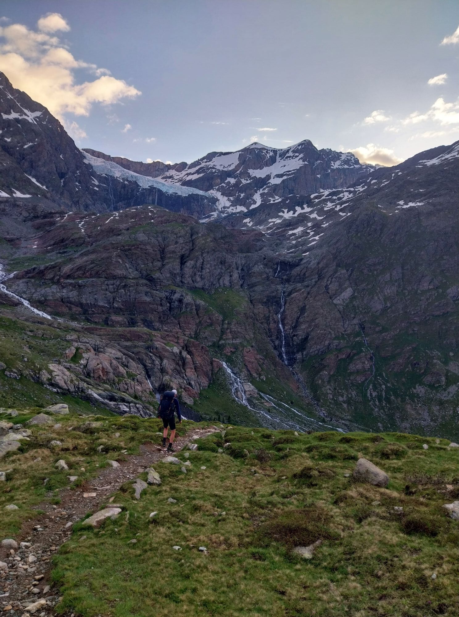
This is the shortest stage, crossing the highest pass of the entire Alta Via: the Bocchetta di Caspoggio at almost 3000m. Here you can breathe in the air of the highest peaks in the group, perfectly visible...
This is the shortest stage, crossing the highest pass of the entire Alta Via: the Bocchetta di Caspoggio at almost 3000m. Here you can breathe in the air of the highest peaks in the group, perfectly visible from the pass. Due to the retreat of the Caspoggio glacier, passability along it can be difficult. Highly recommended is the use of ice axe and crampons especially when one intends to hike this section during the late season when the glaciers are abundantly crevassed.
Another option, which consists of traversing the "high" variant, mostly on glacier, across the eastern Marinelli Pass 3090m, requires materials and mountaineering experience; past the glacial section one descends to the Laghetto di Fellaria and from there in a short time to the pastures of the alpine pasture of the same name.
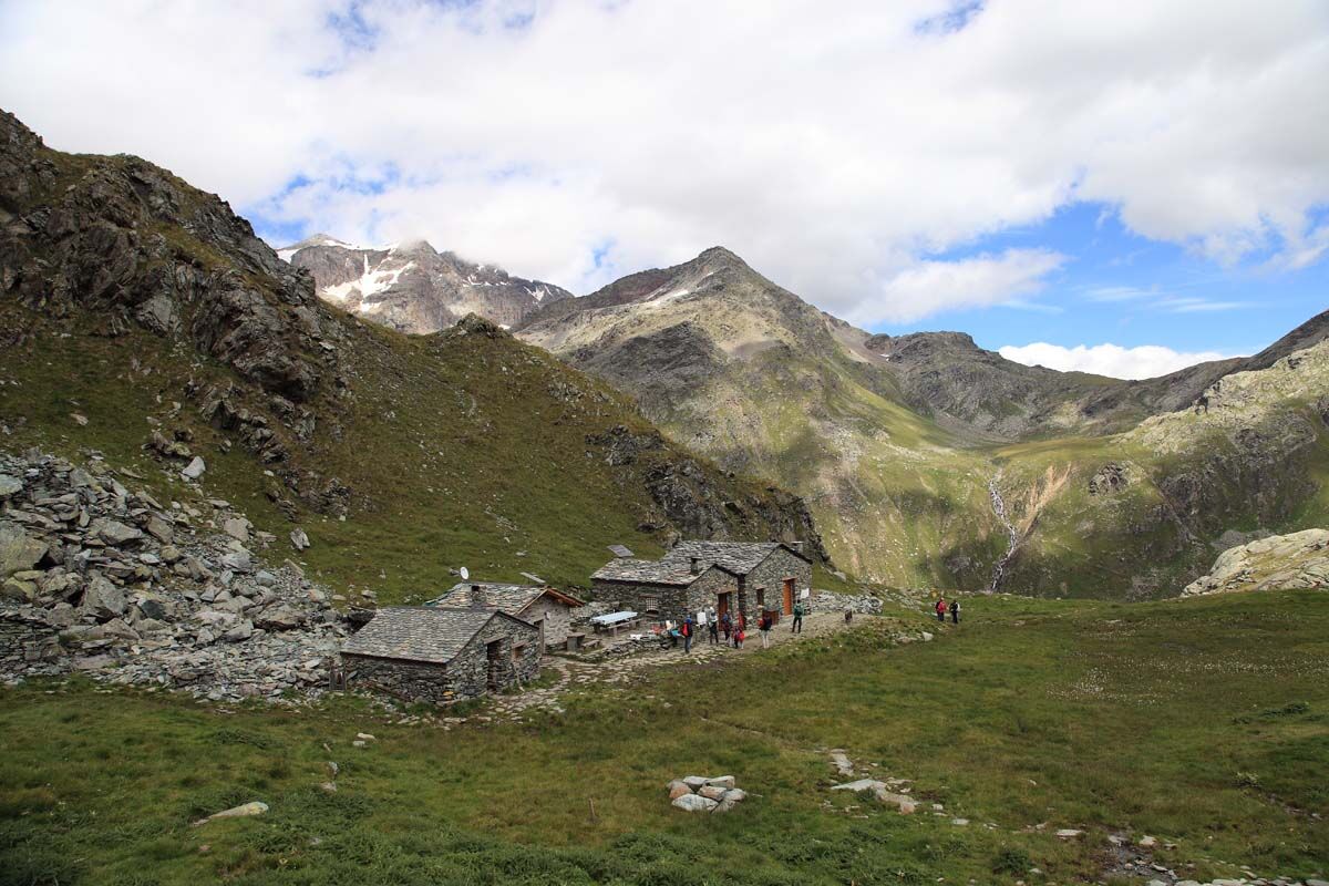
If you are inexperienced in traversing glacial terrain, guide accompaniment is strongly recommended, or take the easier variant, which involves crossing the Forcella di Fellaria 2819m (variant). It avoids glacial sections but involves descending to Rif. Carate where the detour is met.
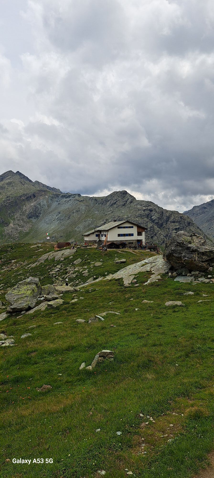
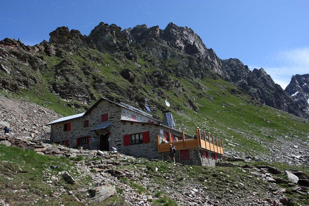
The Bignami hut is located at Alpe Fellaria, one of the highest mountain pastures in the valley still in use.


Piateda, Previsdomini, Piateda Alta, San Bartolomeo Val Venina, Vedello, Ambria - return to Piateda
Mountain backpack with everything you need for the trek
Mountaineering equipment in case you want to cross the Bocchetta di Caspoggio glacier.
Popularne wycieczki w okolicy
-
4,7
Diavolezza - Munt Pers
światłoWędrówka 3,82 km -
5,0
Morteratsch station - Boval Hut
średniWędrówka 10,5 km -
4,5
Pontresina - Val Roseg - Pontresina
światłoWędrówka 13,8 km -
4,7
SAC Tschierva
światłoWędrówka 24,7 km -
4,8
Morteratsch Glacier route
światłoTrasa tematyczna 2,88 km -
5,0
Lagalb - Val Minor - Motta Bianca - Lagalb
średniWędrówka 9,80 km -
4,2
Piz Palü (3.905m) – Hochtour
średniWycieczka wysokogórska 13,4 km -
4,5
Diavolezza - Lej da Diavolezza
średniWędrówka 6,22 km -
4,3
Val Roseg
średniWędrówka zimą 6,96 km -
4,8
Val Roseg - Tschierva Hut
średniWędrówka 5,12 km
Wędrówki i tropienie


Nie przegap ofert i inspiracji na następne wakacje
Twój adres e-mail została dodana do listy mailingowej.