






Alta Via della Valmalenco stage 5
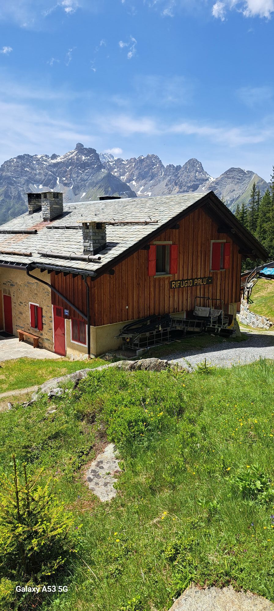
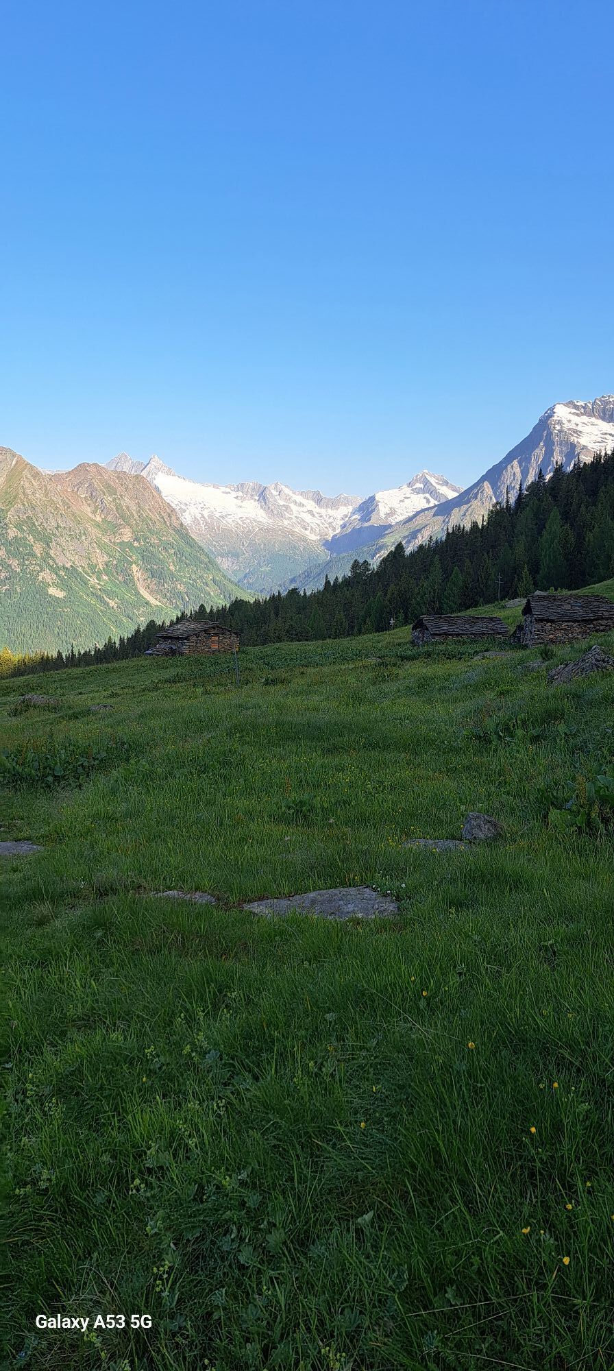

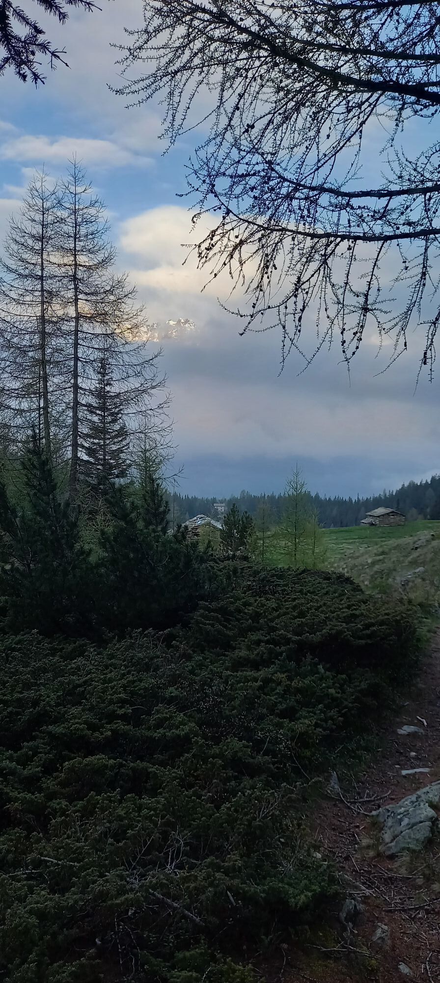


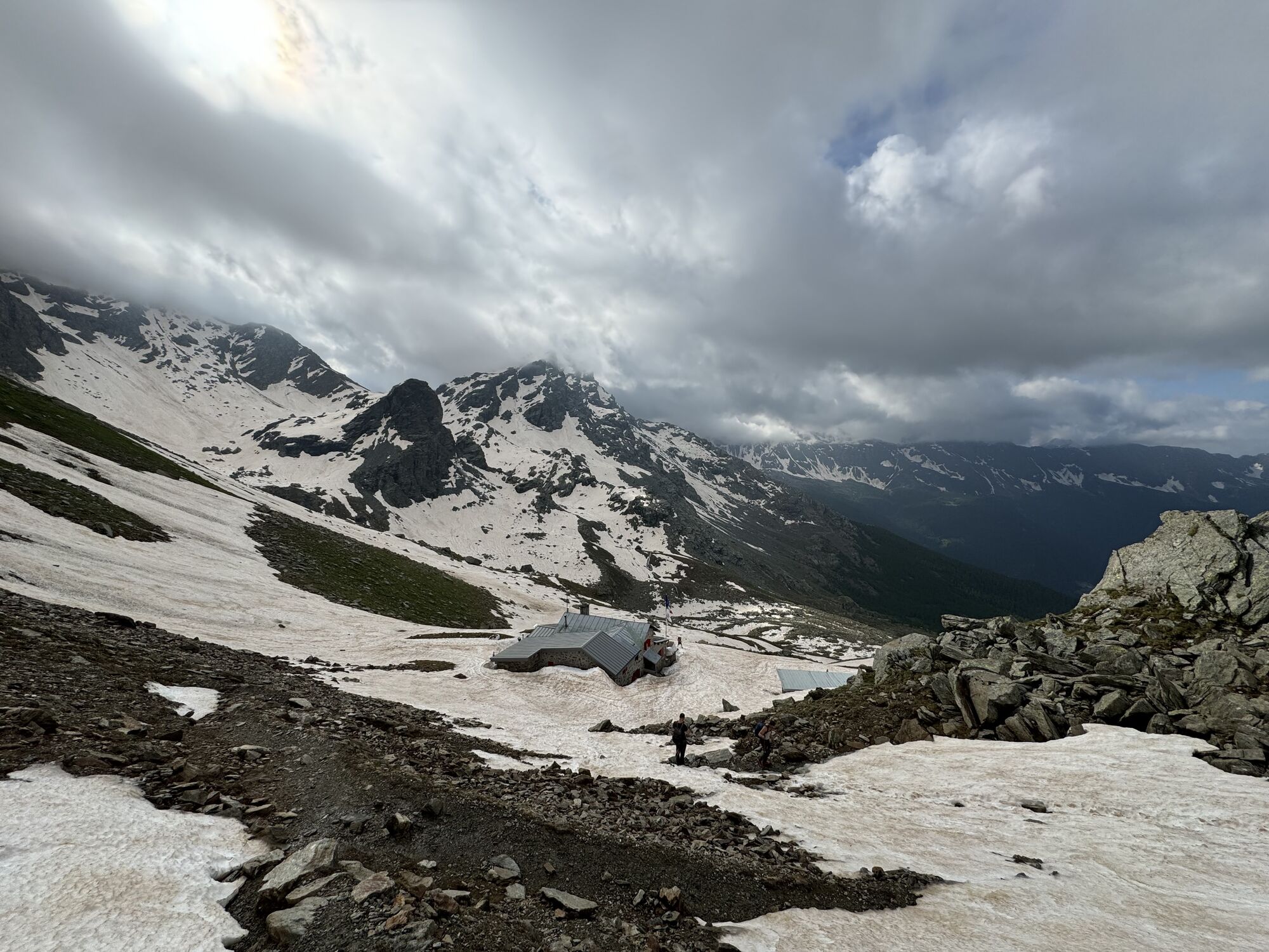
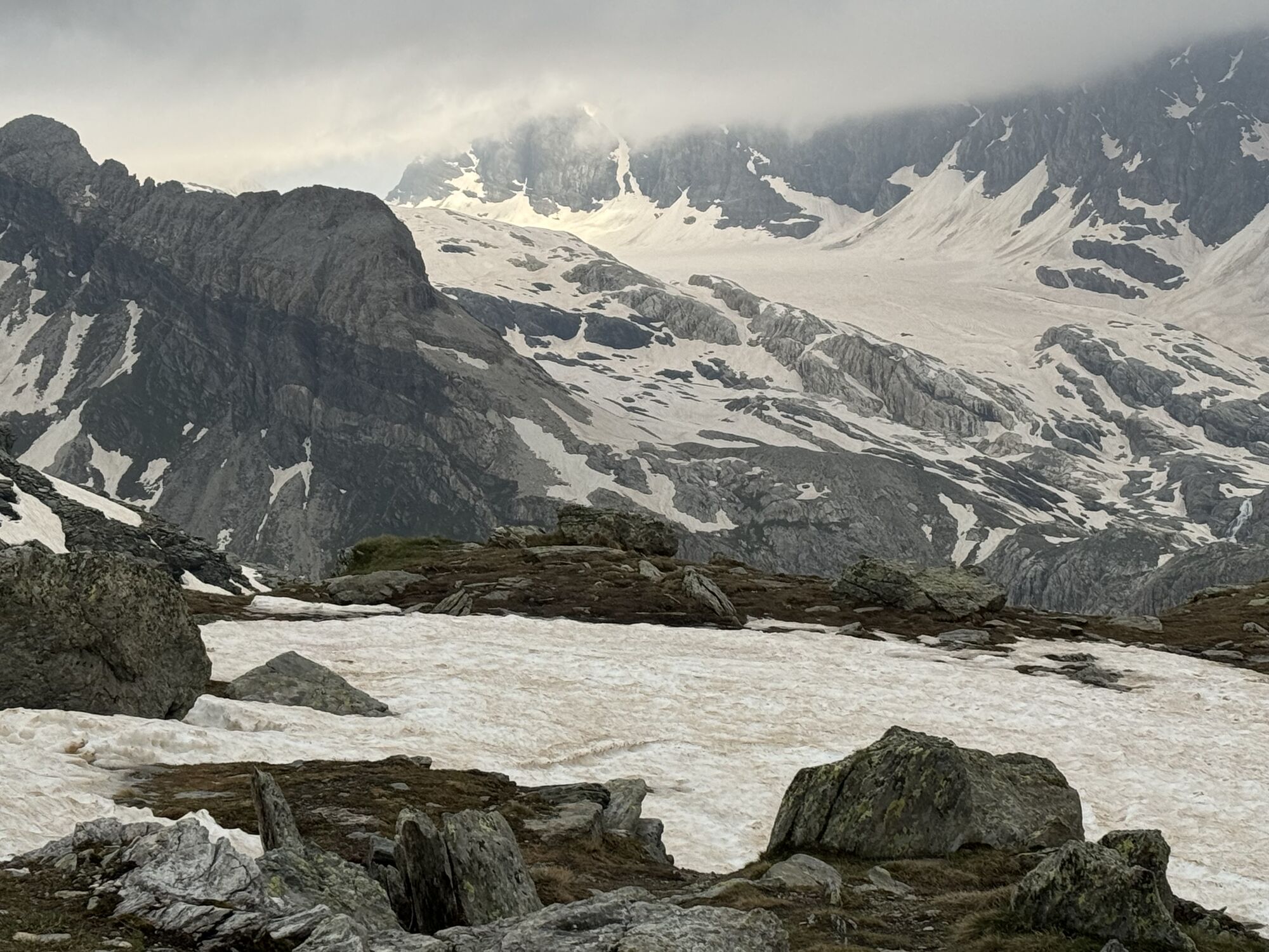
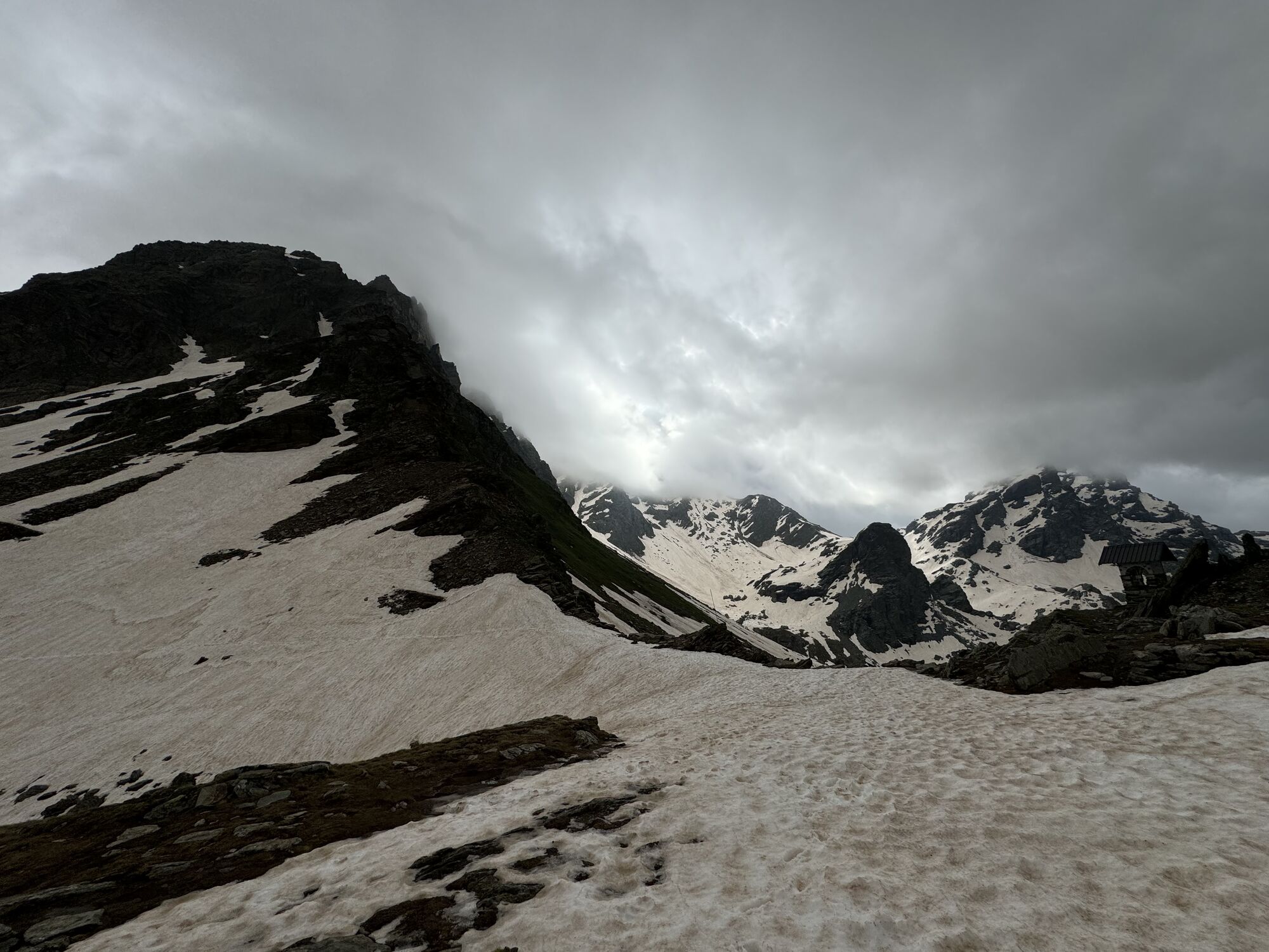

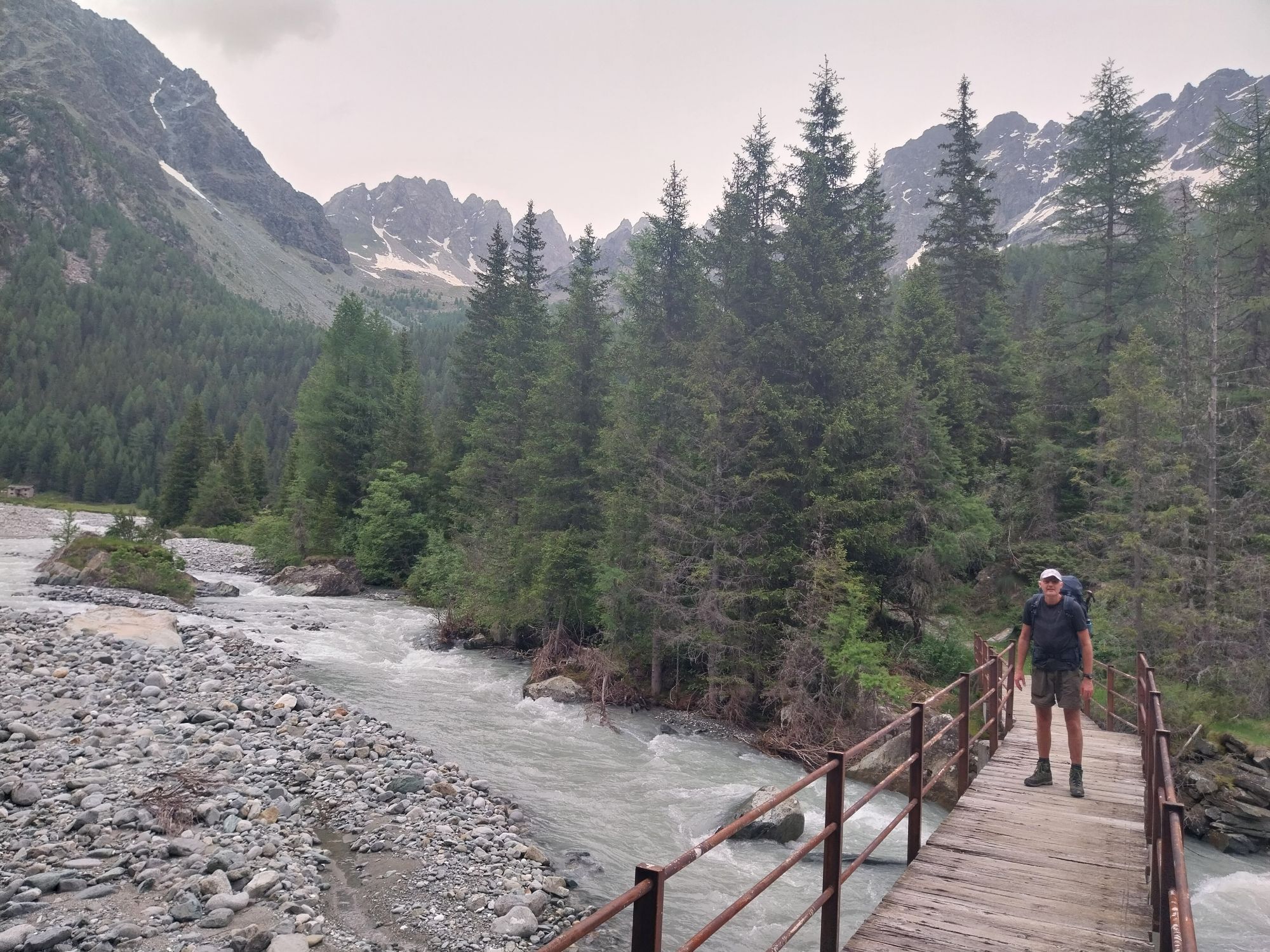
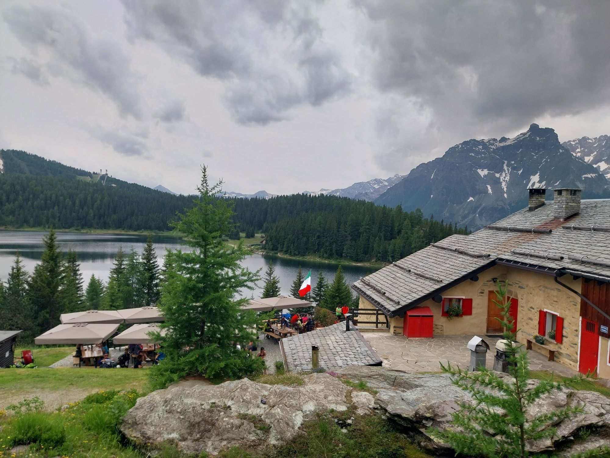
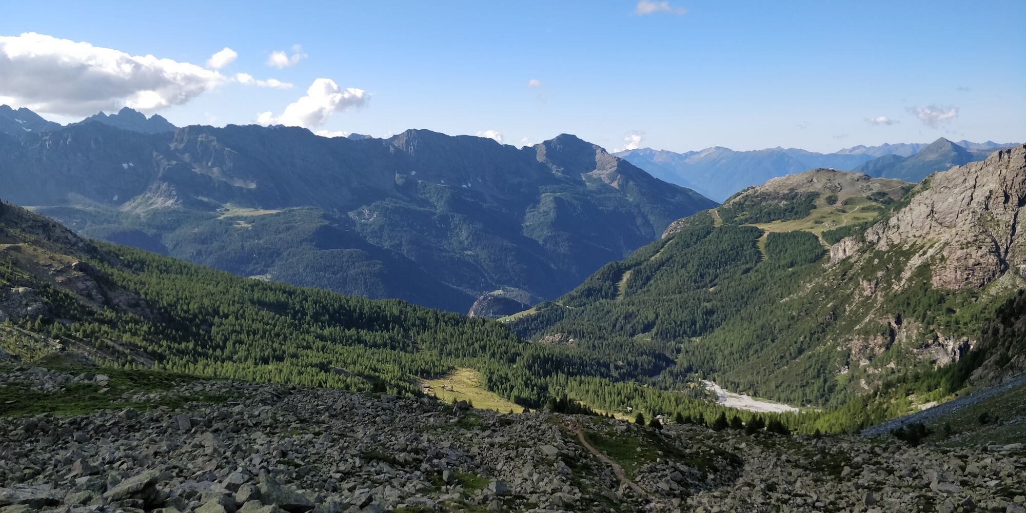
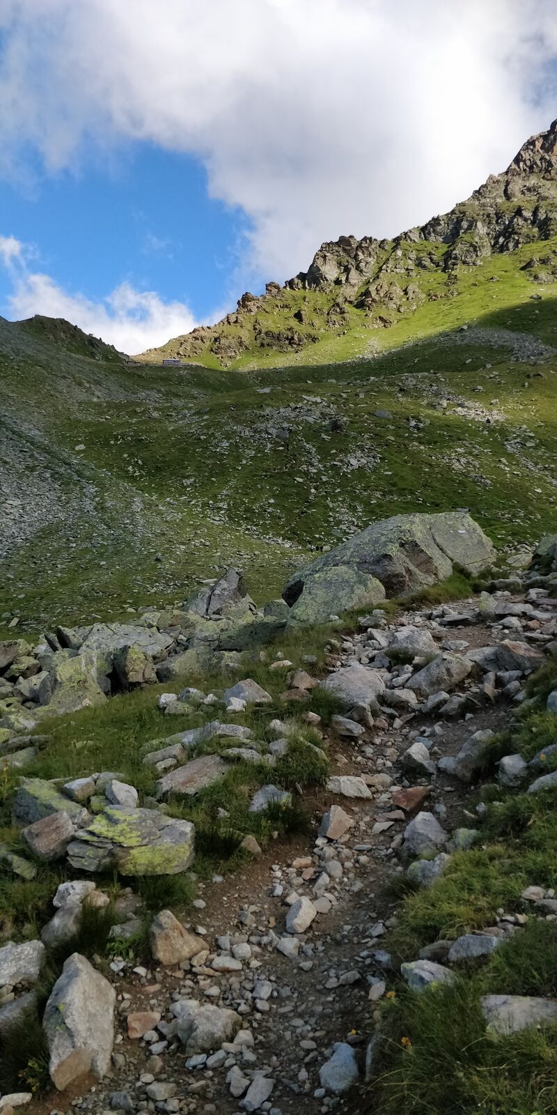
This is the classic stage that allows you to enter the heart of the Bernina group, in an area still characterized by the presence of large glaciers, among the largest in the Italian Alps. The Marinelli...
This is the classic stage that allows you to enter the heart of the Bernina group, in an area still characterized by the presence of large glaciers, among the largest in the Italian Alps. The Marinelli hut is one of the most important and well-known alpine refuges; it was also the first, along with the Corna Rossa hut (later Rif. Desio, temporarily unusable), to be built in Valmalenco back in 1880. After passing the Bocchel del Torno, in a setting marked by strong naturalness, you descend along ski slopes, partly recently developed, to reach and follow the ancient mule track that from Lanzada led to Rif. Marinelli, through extensive woods, the pastures of Alpe Campascio and the higher ones of Alpe Musella. Above Alpe Musella, at about 2240 m, you meet the path coming from Campo Moro and continue alternating moraine flats and steep slopes until Rif. Carate, just a few meters from the Bocchetta delle Forbici, where the most spectacular and well-known view of the Bernina group opens up, reflected in the waters of the homonymous small lake

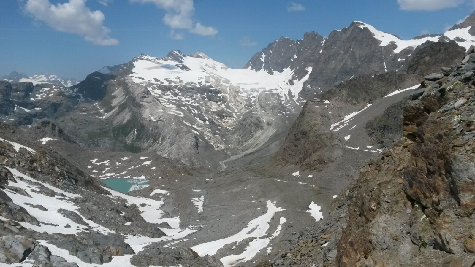
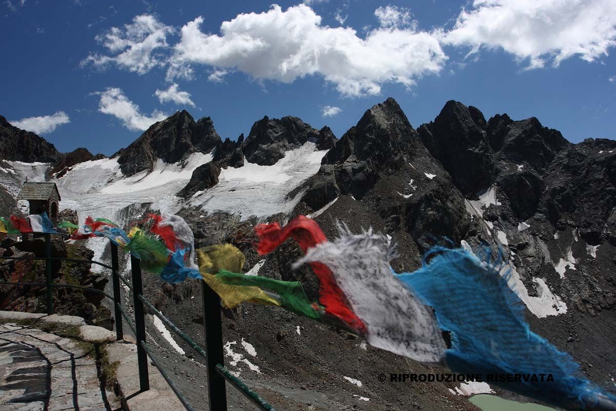
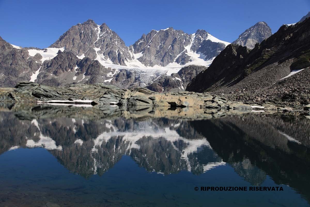
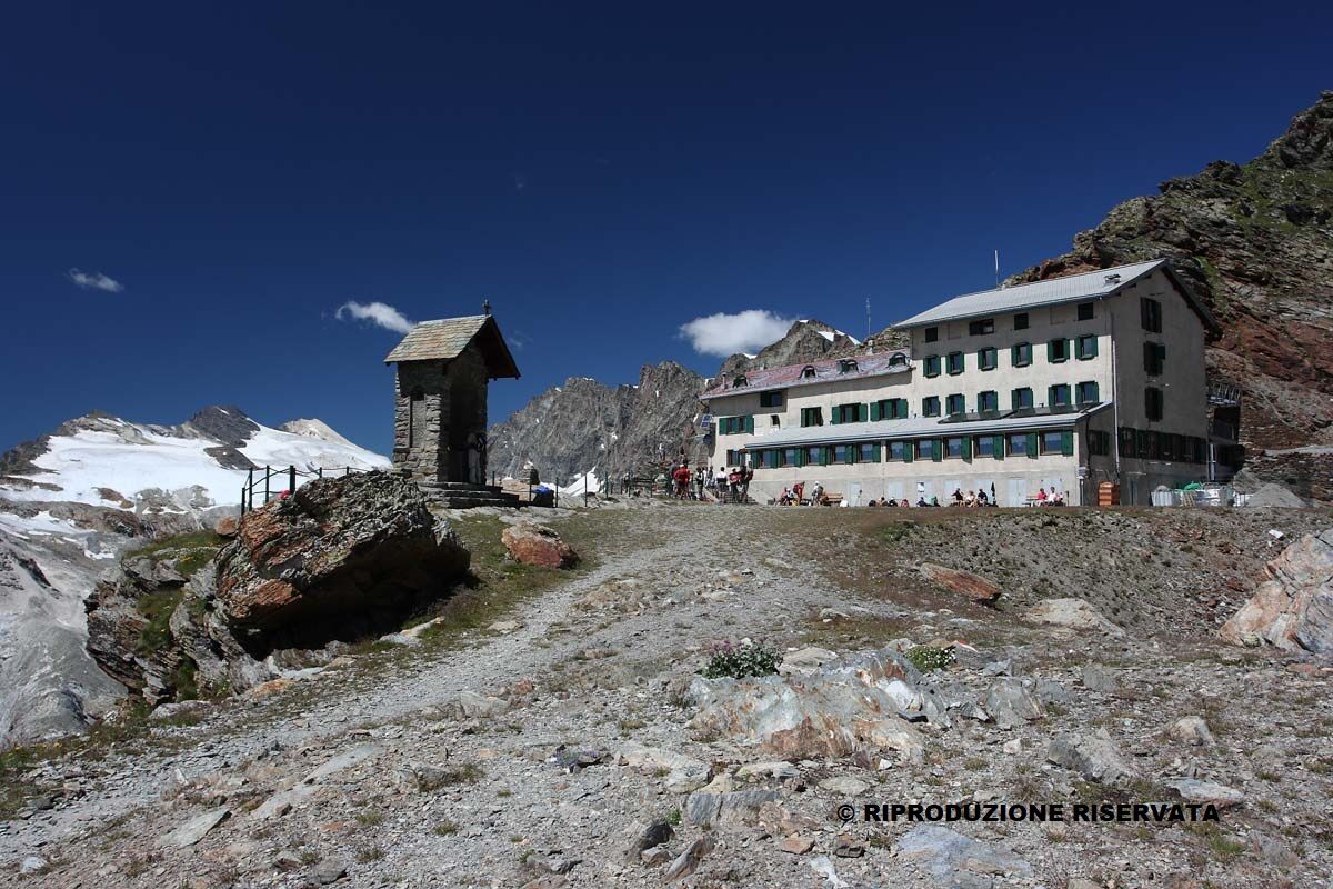

Bochel del Tornio; Alpe Musella; Rifugio Mitta; Rifugio Musella; Rifugio Carate
Kamery internetowe z trasy
Badia - Piz La Ila Moritzino
Valmalenco Alpe Palù - Cima Motta
Badia - Piz La Ila Moritzino
Badia - Piz La Ila Moritzino
Badia - Piz La Ila Moritzino
Badia - Piz La Ila Moritzino
Chiareggio
Dal Rifugio del Grande - Camerini
Dal Rifugio Zoia
Valmalenco Ski area: Campo scuola
Valmalenco Ski area: pista Thoeni
Massiccio del Disgrazia
Vallata di Chiareggio e San Giuseppe
Valmalenco Ski area: Pista blu Dosso
Uzyskaj wgląd Zawsze na żywo z ponad 9 500 kamer internetowych. bergfex Jako użytkownik Pro, możesz teraz zobaczyć odpowiednie kamery internetowe dla wielu wycieczek w aplikacji wycieczki od. Pozwala to na bezpośredni podgląd aktualnych warunków. Popularne wycieczki w okolicy
- 4,7
Diavolezza - Munt Pers
światłoWędrówka 3,82 km - 5,0
Morteratsch station - Boval Hut
średniWędrówka 10,5 km - 4,7
SAC Tschierva
światłoWędrówka 24,7 km - 4,8
Morteratsch Glacier route
światłoTrasa tematyczna 2,88 km - 4,2
Piz Palü (3.905m) – Hochtour
średniWycieczka wysokogórska 13,4 km - 4,5
Diavolezza - Lej da Diavolezza
średniWędrówka 6,22 km - 4,8
Val Roseg - Tschierva Hut
średniWędrówka 5,12 km - 4,8
Corvatsch Murtèl - Fuorcla Surlej
średniWędrówka 4,52 km Mittelstation Murtèl – Fuorcla Surlej – Val Roseg – Pontresina
średniWędrówka 23,5 km- 5,0
Ospizio Bernina Station - Alp Grüm (-Cavaglia)
światłoWędrówka 4,97 km

Wędrówki i tropienie


Nie przegap ofert i inspiracji na następne wakacje
Twój adres e-mail została dodana do listy mailingowej.





