






SP_20 Biassa – S. Antonio – Monesteroli
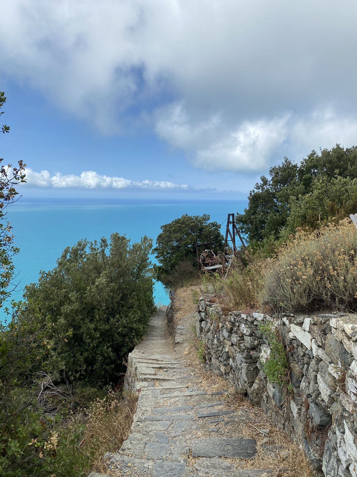
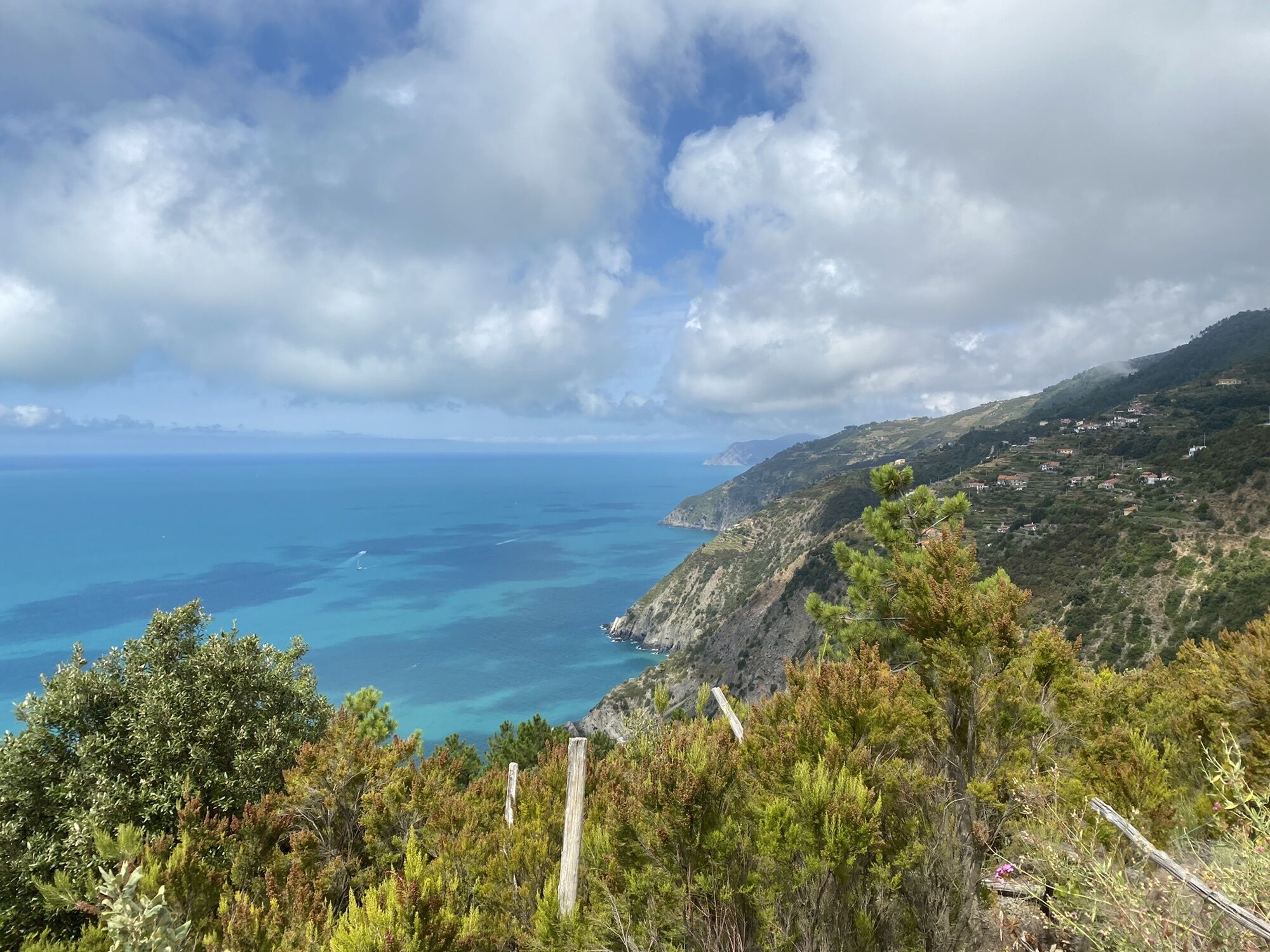
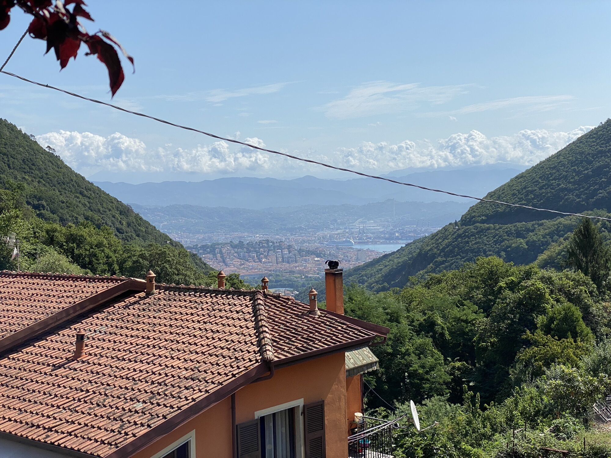
from Biassa (312 m) follow footpath 504 (white and red trail sign) which goes uphill between the houses and then into a chestnut wood. Leave the road to Colle del Telegrafo on the right and find a little...
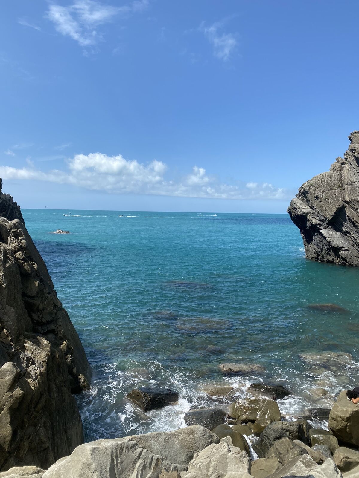
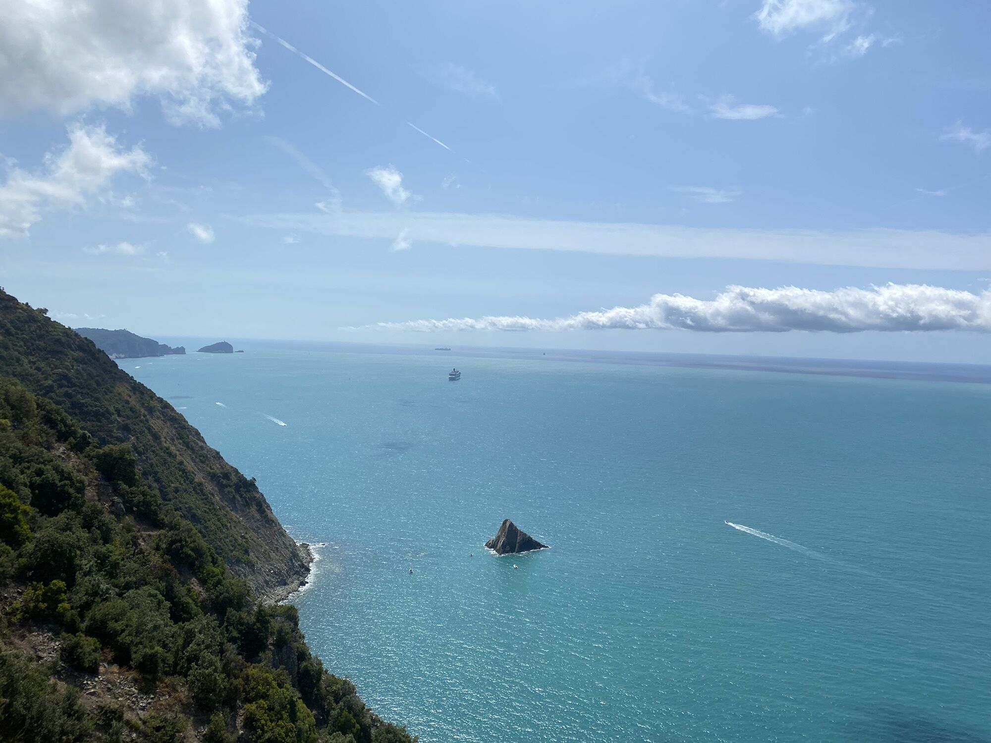
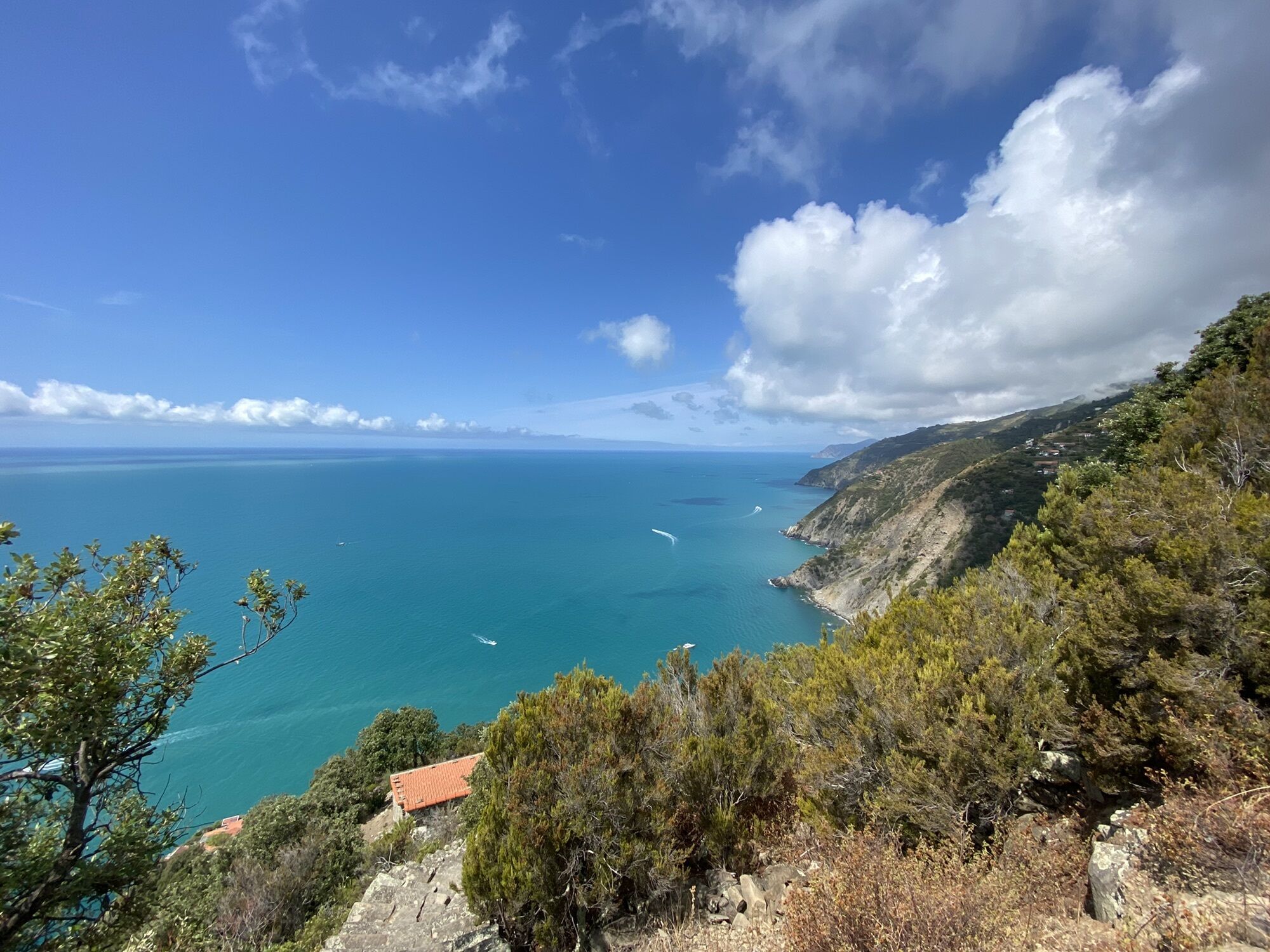
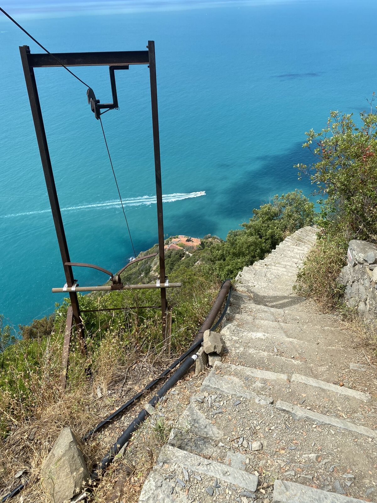
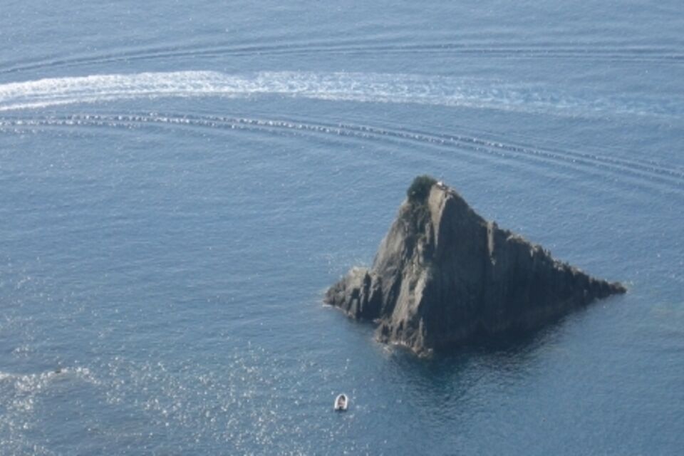
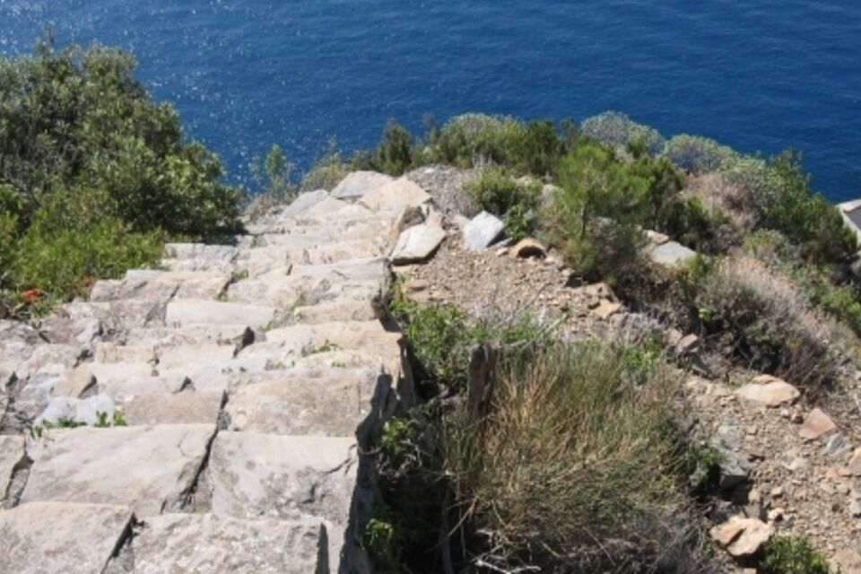
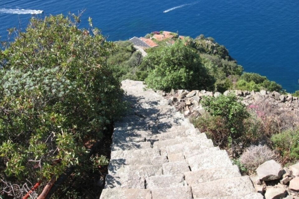
from Biassa (312 m) follow footpath 504 (white and red trail sign) which goes uphill between the houses and then into a chestnut wood. Leave the road to Colle del Telegrafo on the right and find a little votive aedicula before reachirng Valico di S. Antonio pass (church and rest area; 510 m; 40 minutes). From the pass, walk slightly uphill on the asphalt road through the mediteranean vegetation as far as a curious rock, the “Tramonti Mehinr” (according to some scholars, the old Ligurian populations attributed religious meaning to this block of sandstone). Turn off the road (1 hour) onto pathway n° 504 (white and red trail sign) which descends to the right; a little way ahead cross an unpaved road and carry on walking on the same footpath on the opposite side of the road. At a crossroads go down to the right and do the same at the next crossroads, where you turn off the footpath for Campiglia. Going down the staircase you leave the evergreen oak wood and reach an area with narrow terraces. After a particular cableway you find a crossroads where you carry on walking downhill, leaving to the right the path for Fossola. The staircase steeply winds down the slope as far as Monesteroli (100 m). The view towards the east includes the Palmaria Island and the close Scoglio Ferale. Towards the west there is a spectacular view of the Cinque Terre. After the last houses, paying little attention to the steps, it is possible to go down as far as the sea. To go back you have to do the same staircase uphill (4.30 hours in total back and forth).


Tak
by train get off at La Spezia Centrale Station and go to Biassa by bus (line 19, bus line ATC, www.atcesercizio.it).
from S. Stefano Magra motorway exit (A12 Genova-Livorno motorway) follow the signs for La Spezia and thence the Cinque Terre; before Biassa tunnel turn right and leave the car at a widening along Via Filzi.
Nature and Landscape * * * * * * Family * * Gourmet * * * * * * Culture * * * * *
Popularne wycieczki w okolicy
-
5,0
Levanto nach Monterosso
średniWędrówka 6,83 km -
4,8
SP_07 Manarola - Volastra - Corniglia
Wędrówka 5,75 km -
4,2
Leg 4 from Riomaggiore to Monterosso
Wędrówka 15,1 km -
4,0
"Cinque Terre Wanderung" - 40km durch fünf verträumte Dörfer in Italien
światłoWędrówka 37,7 km -
4,7
Monterosse - Vernazza
średniWędrówka 4,68 km -
4,8
SP_06 Ring path of Palmaria island
Wędrówka 5,95 km -
5,0
Cinque Terre
średniWędrówka 2,17 km -
4,7
punta_persico.gpx
średniWędrówka 15,0 km -
Stretch 03: La Spezia- Riomaggiore
Wędrówka 13,5 km -
SP_04 Portovenere – Muzzerone - Campiglia
Wędrówka 5,17 km
Wędrówki i tropienie


Nie przegap ofert i inspiracji na następne wakacje
Twój adres e-mail została dodana do listy mailingowej.





