


SP_10 N.S. di Soviore - Vernazza


from the car park at Nostra Signora di Soviore you reach the forecourt in front of the sanctuary (465 m) and follow the white-red trail sign on the footpath which, slightly uphill leads to the paved road,...
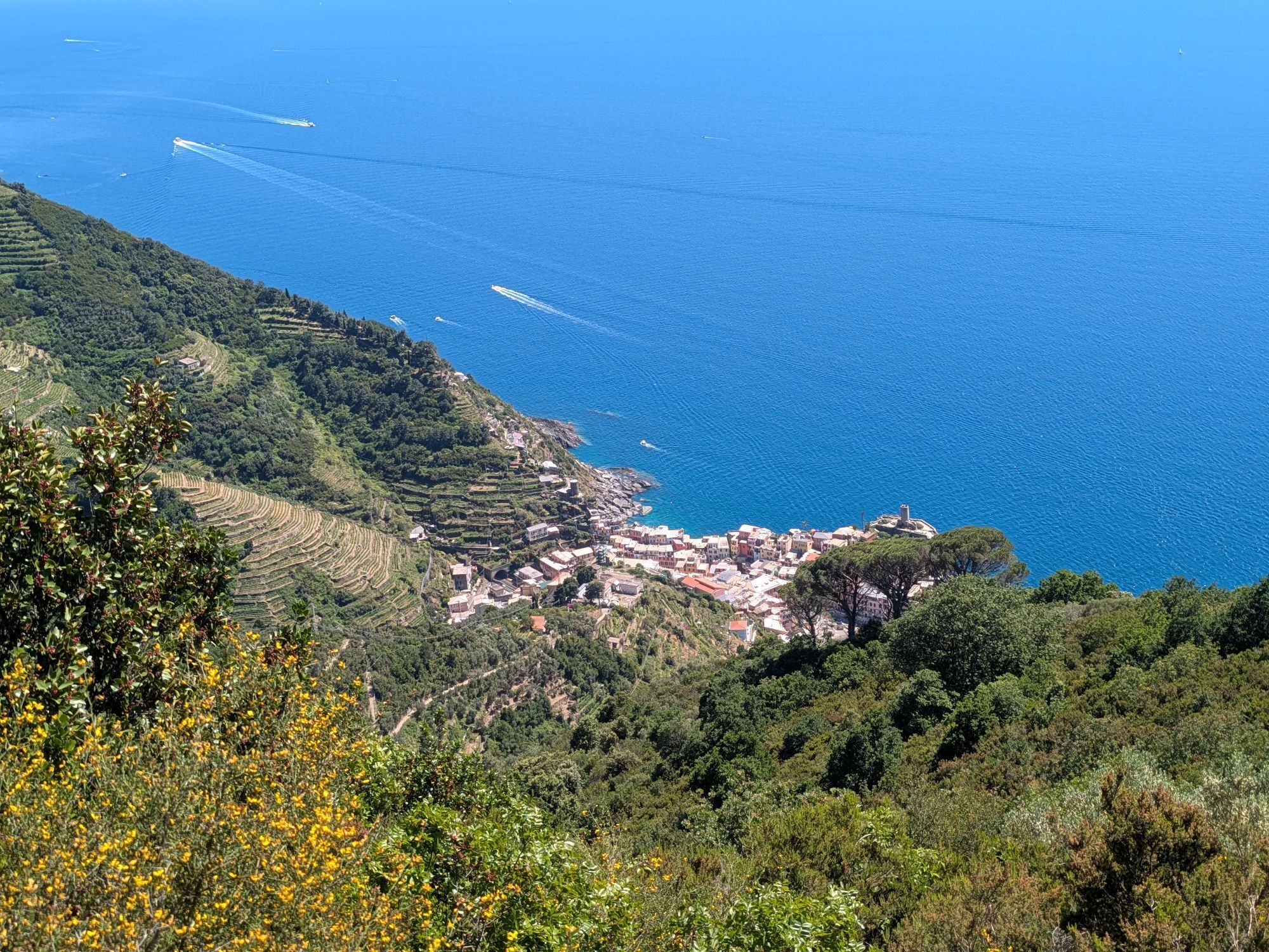
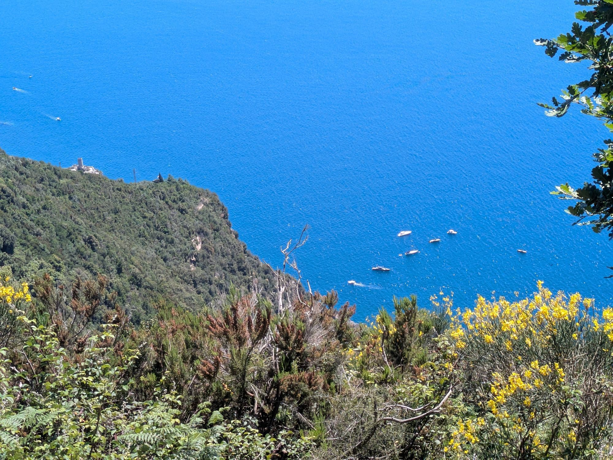
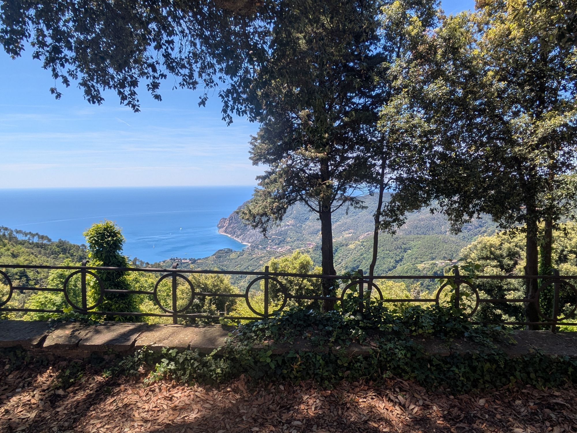
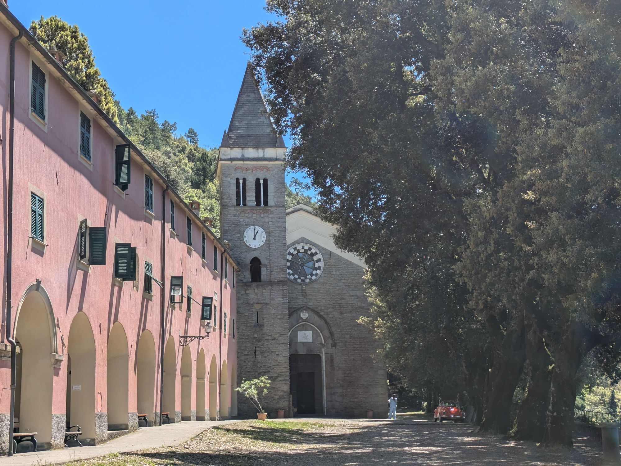
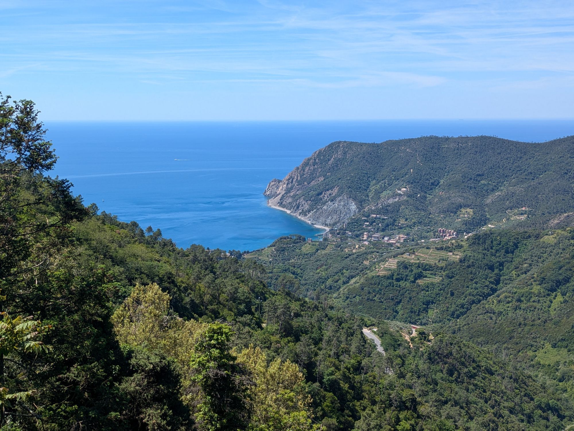
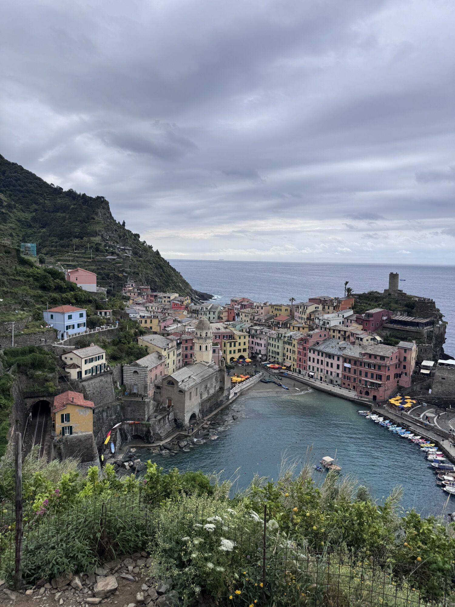
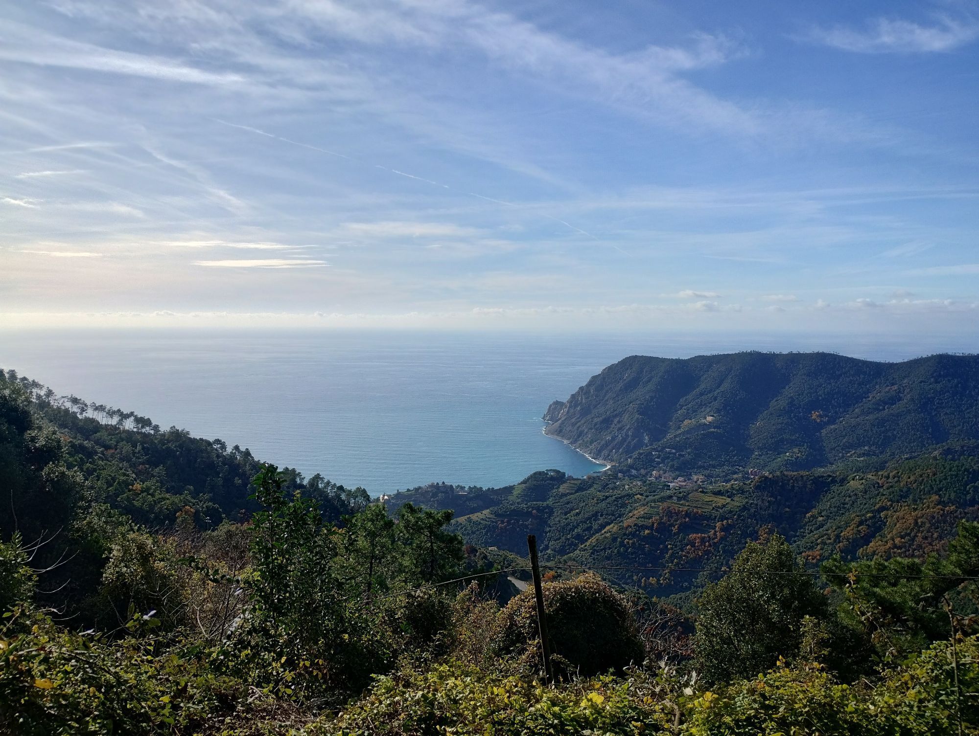
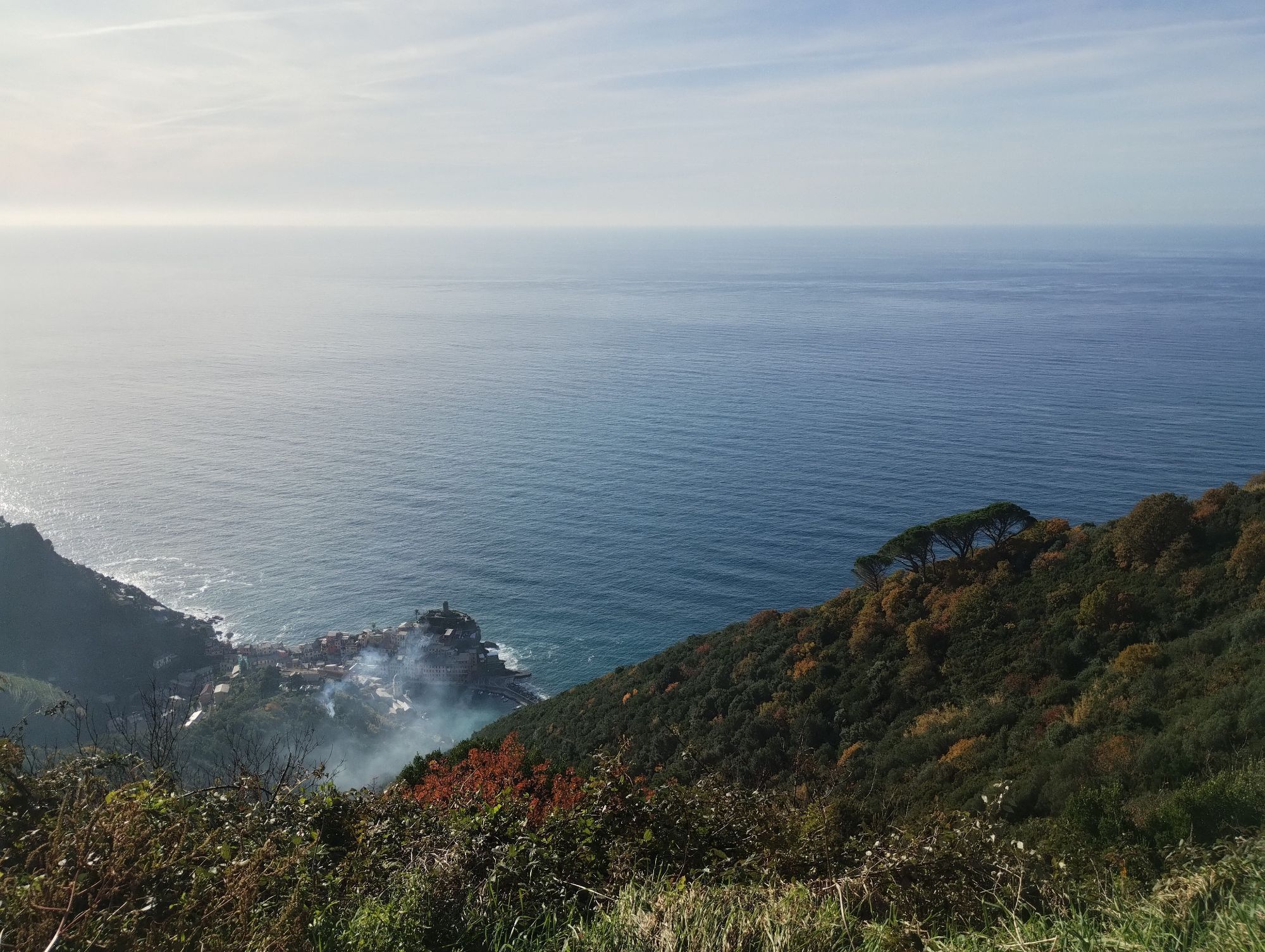
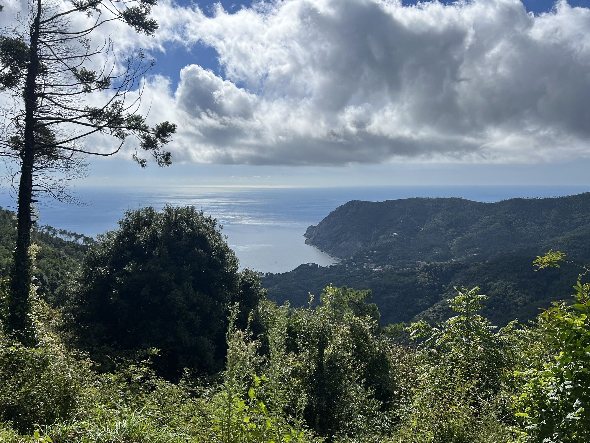
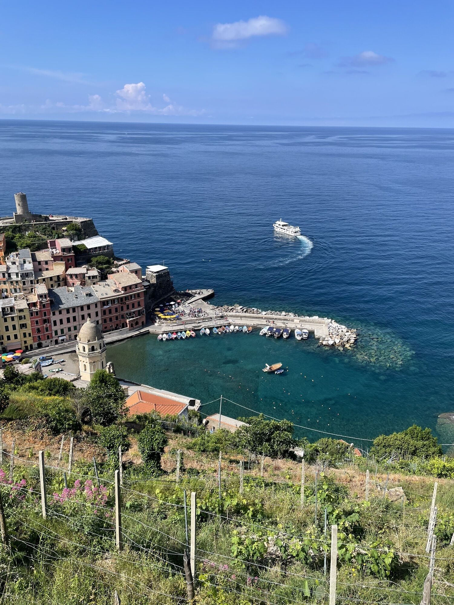
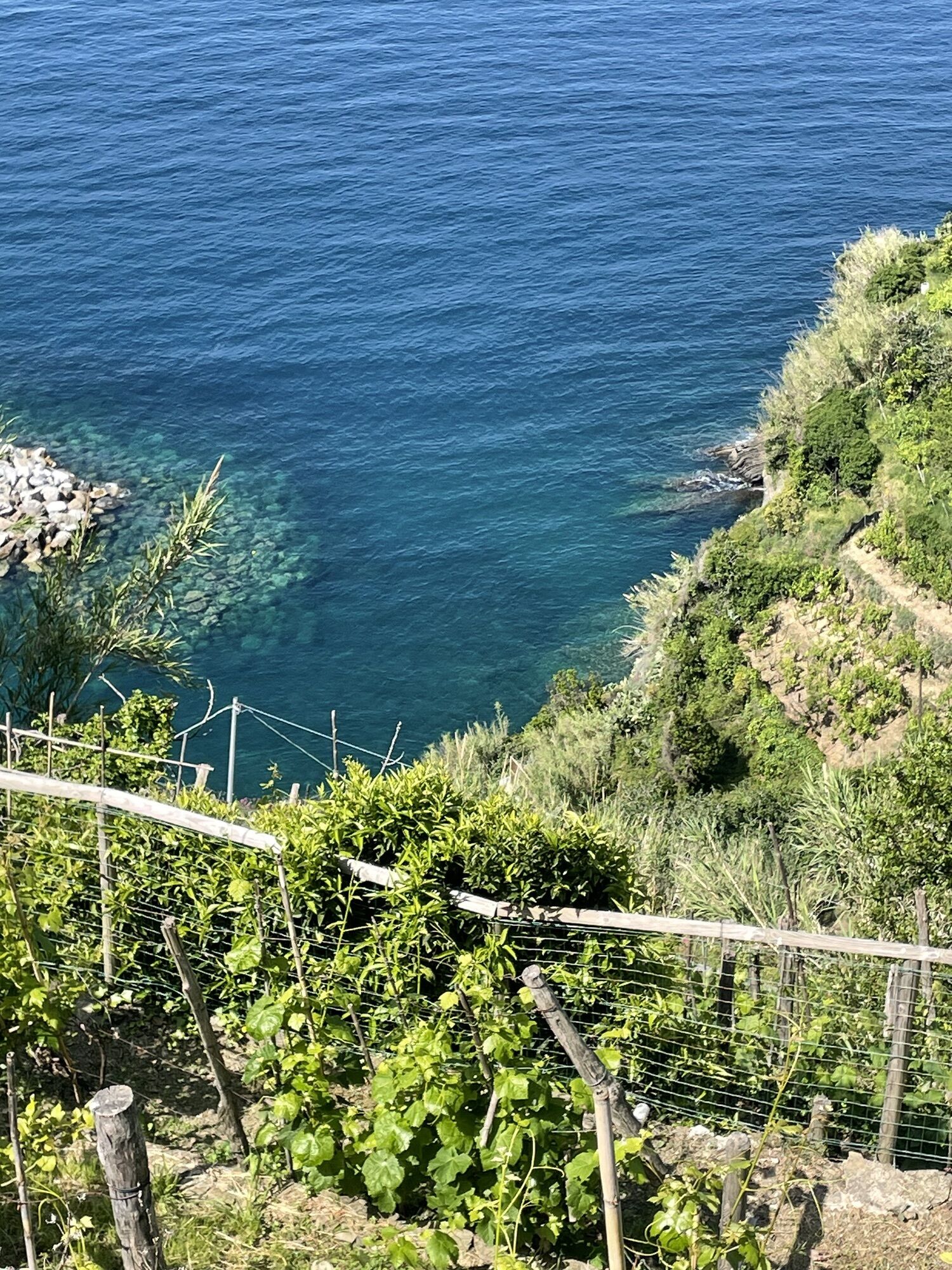
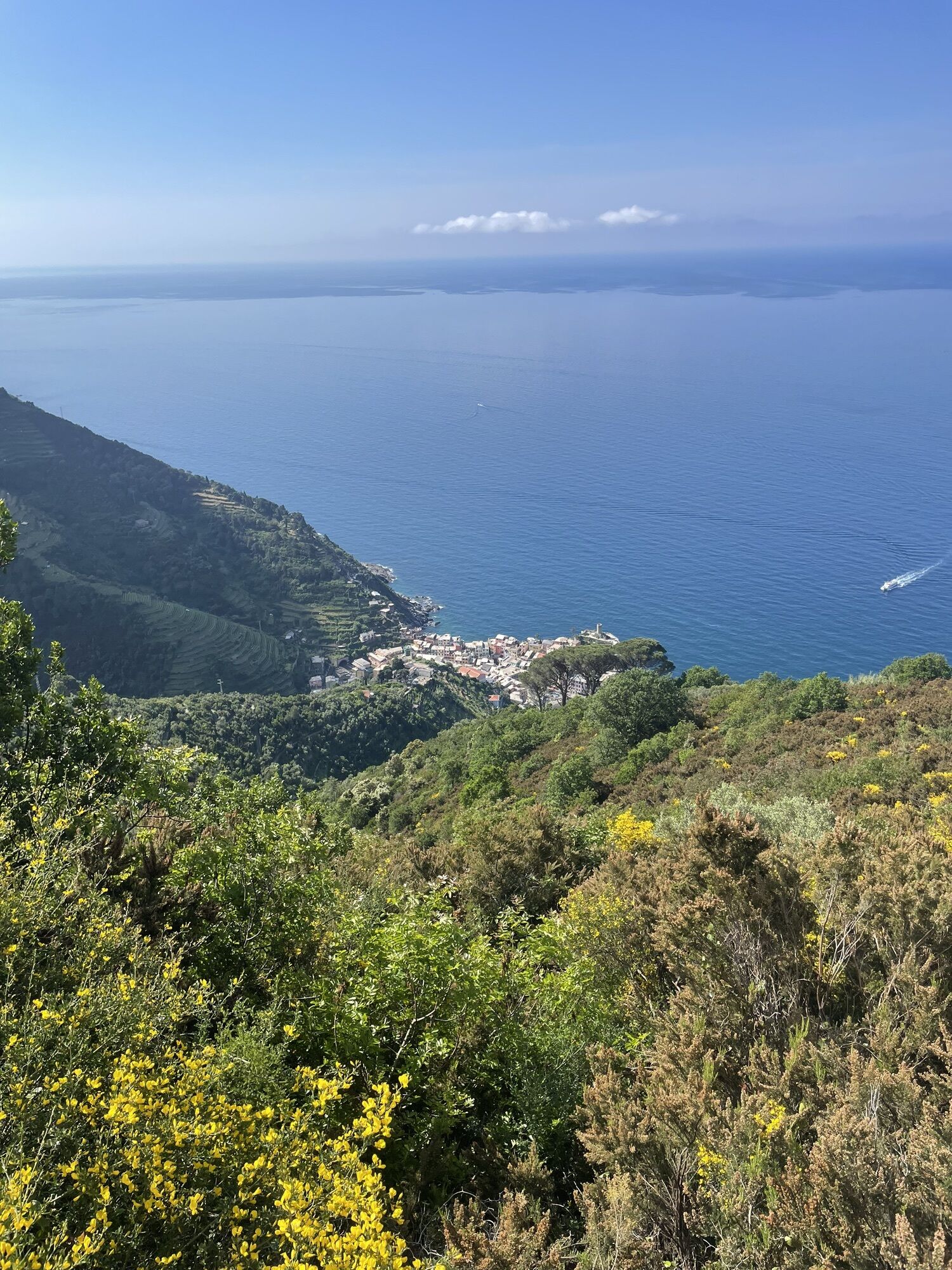
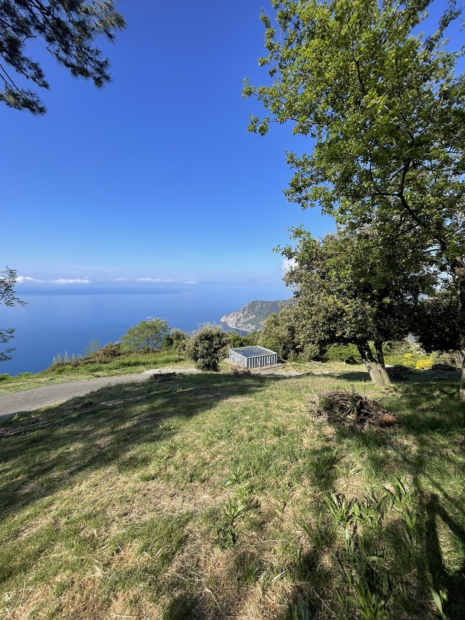
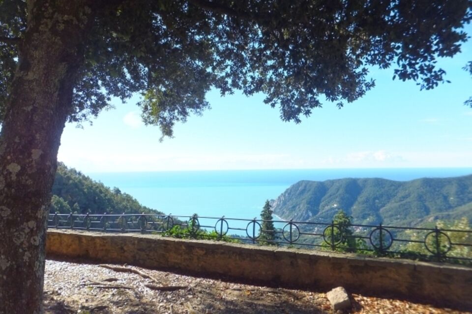
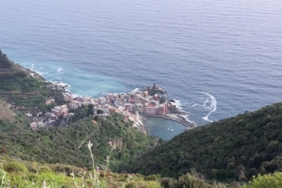
from the car park at Nostra Signora di Soviore you reach the forecourt in front of the sanctuary (465 m) and follow the white-red trail sign on the footpath which, slightly uphill leads to the paved road, which you follow going right. After 700 metres leave the paved road and take a footpath which goes down (indications for Santuario N.S. di Reggio; trail 582): the track is characterised by a succession of hillside and downhill stretches through the mediterranean vegetation as far as the paved road SP 51 “dei Santuari” which you follow to the right for roughly 300 metres. You then take to the right a path which shortly goes down to the Sancturay of N. S. di Reggio (317 m; 1.30 hour). After a stop at the sanctuary, take the mule-track for Vernazza (indications) from the tree-lined square above the sanctuary. The track, which is paved with stones and is rich in historical remains, including the chapel of San Bernardo (180 m) passes through olive orchards and dry stone walls. Following the white-red trails signs you reach the village of Vernazza near the railway station.


by train, get off at Monterosso station (Genova-La Spezia railway line), then by public bus reach Colle Gritta and Soviore (autolinee ATC: www.atcesercizio.it/cinqueterre.pdf).
from Carrodano motorway exit (A12 Genova-Livorno motorway) follow for Levanto. Before entering in Levanto centre, turn left for Santuario di Soviore: in Colle Gritta turn left and you arrive at Soviore cark park (1.7 km from Colle Gritta)
Nature and Landscape * * * * * Family * * * Gourmet * * * * Culture * * * *

Popularne wycieczki w okolicy
- 4,8
SP_07 Manarola - Volastra - Corniglia
Wędrówka 5,75 km - 5,0
Levanto nach Monterosso
średniWędrówka 6,83 km - 4,2
Leg 4 from Riomaggiore to Monterosso
Wędrówka 15,1 km - 4,0
"Cinque Terre Wanderung" - 40km durch fünf verträumte Dörfer in Italien
światłoWędrówka 37,7 km - 4,8
Monterosse - Vernazza
średniWędrówka 4,68 km - 5,0
Bonassola-Levanto-Monterosso
światłoWędrówka 10,9 km - 4,7
punta_persico.gpx
średniWędrówka 15,0 km - 5,0
Cinque Terre
średniWędrówka 2,17 km Stretch 03: La Spezia- Riomaggiore
Wędrówka 13,5 kmSP_21 Ciclopedonale Levanto – Bonassola – Framura
Wędrówka 6,70 km
Wędrówki i tropienie


Nie przegap ofert i inspiracji na następne wakacje
Twój adres e-mail została dodana do listy mailingowej.