






SP_01 Anello di Punta Bianca e Montemarcello
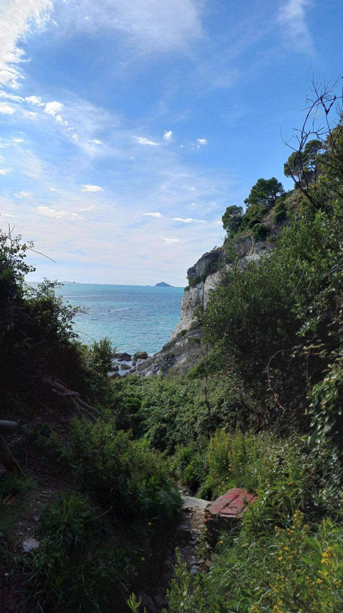
The footpath has a red – white trail stripes marker. From parking at Bocca di Bocca di Magra follow a mule track southward as far as the Monastero di Santa Croce. Ignore on the right the road and follow...
The footpath has a red – white trail stripes marker. From parking at Bocca di Bocca di Magra follow a mule track southward as far as the Monastero di Santa Croce. Ignore on the right the road and follow the old mule track till the crossroads Punta Corvo and Punta Bianca: to reach Punta Bianca go down some steps close to a bunker and reach the cliffs. The place name derives from the colour of the limestone rock (white). Come back till the crossroad to Punta Corvo and take the level footpath westward (mediterranean shrubland). Don't go to Mantemarcello but follow down as far as c. 175 metres above the sea level. From here, on the left, it's possible to reach the beach of Punta Corvo. Going on right arrive at Montemarcello (260 m). The ancient village is in a lovely place at the top of a hill. The place name recalls the win of the roman consul Claudio Marcello against Liguri Apuani in the 155 B.C.. To come back to Bocca di Magra follow to the right the red – white trail marker of “Alta Via del Golfo” (AVG). Close to the Monastero di Santa Croce find the way already done (40- 50 minutes from Montemarcello).


by bus from La Spezia or Sarzana till Bocca di Magra (autolinee ATC La Spezia; www.atcesercizio.it).
from Sarzana motorway exit (A12 Genova-Livorno) follow to La Spezia, then turn left to Ameglia and Bocca di Magra.
Nature and Landscape * * * * Family * * * * Gourmet * * * Culture * * * * *


Popularne wycieczki w okolicy
-
4,8
SP_06 Ring path of Palmaria island
Wędrówka 5,95 km -
4,7
punta_persico.gpx
średniWędrówka 15,0 km -
SP_04 Portovenere – Muzzerone - Campiglia
Wędrówka 5,17 km -
5,0
Leg 1 from Bocca di Magra to Lerici
Wędrówka 9,61 km -
Boceda - Strada dei Tedeschi (Germans’ path)– Beverino – Piana Battolla circular route
średniMountainbike 1,57 km -
4,0
Anello Monte Murlo da Foce di Lizzano
światłoWędrówka 4,21 km -
Leg 2 from Lerici to Spezia
Wędrówka 21,7 km -
SP_14 Ring path of Bozi di Saudino
Wędrówka 2,61 km -
Bozzi di Saudino – Saudino circular route
średniMountainbike 2,38 km -
Route along the riverbank
średniMountainbike 17,3 km
Wędrówki i tropienie


Nie przegap ofert i inspiracji na następne wakacje
Twój adres e-mail została dodana do listy mailingowej.





