






IM_13 Ring path of Triora
from Piazza Roma in Molini di Triora (466 m) keep the right to reach the Church of San Lorenzo by a steep mule-track. Here you find some wooden signposts for Triora and a white-red trail sign. The mule-track,...
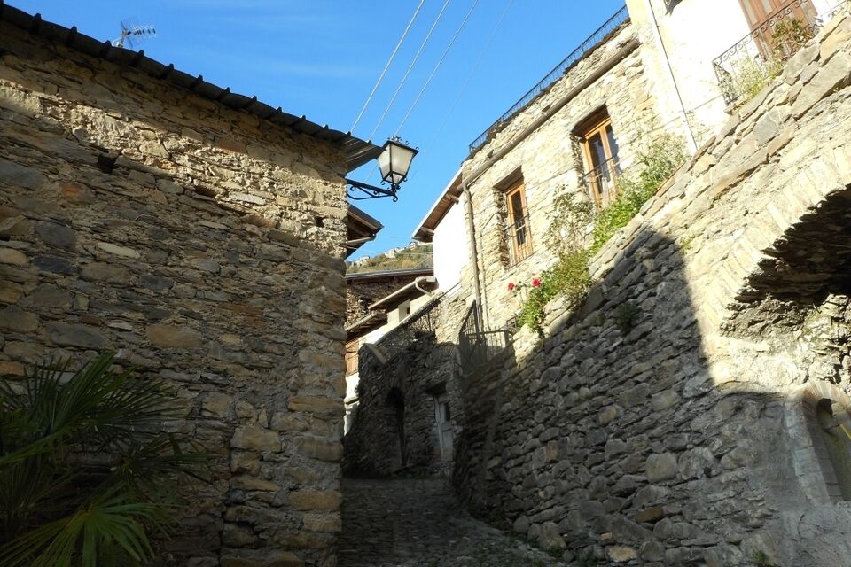
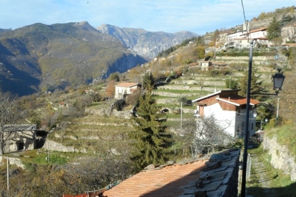
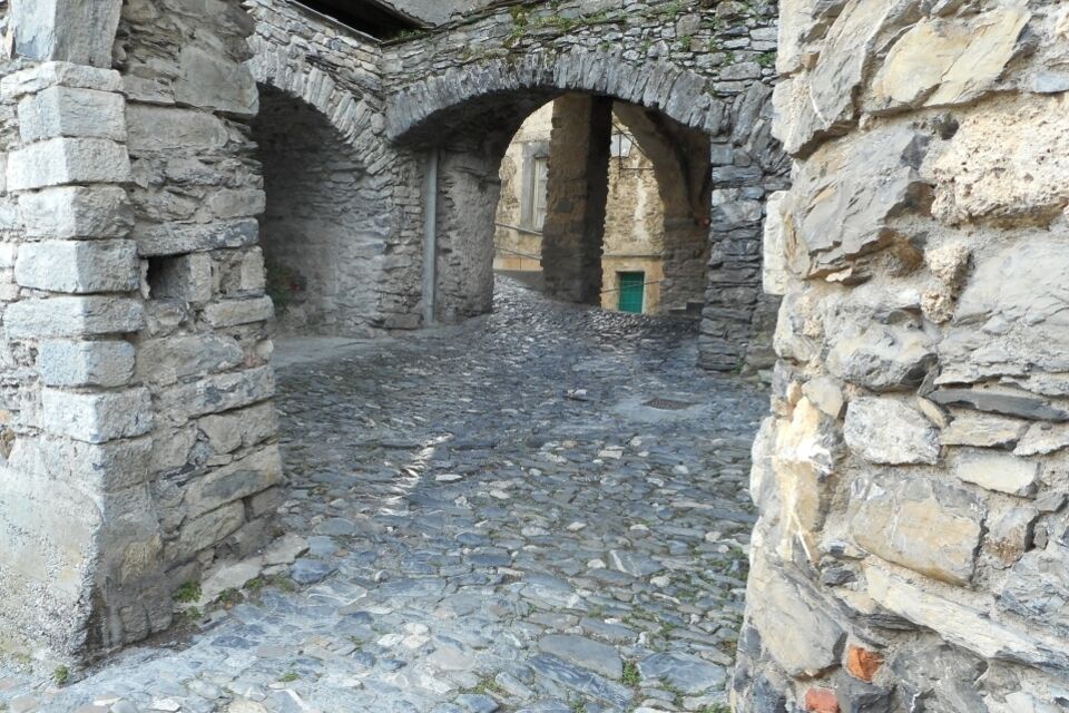
from Piazza Roma in Molini di Triora (466 m) keep the right to reach the Church of San Lorenzo by a steep mule-track. Here you find some wooden signposts for Triora and a white-red trail sign. The mule-track, very well looked after, leaves the villages and gains altitudes with many hairpin turns as far as the chapel of Madonna delle Grazie (717 m). Reach the provincial road which you walk on uphill and avoid entering Triora. After 500 m a sign shows the mule-track for Loreto (here you find the white-red trail signs again). Pass the little church of San Bernardino and, continuing through the terraces, you reach the fork between Cetta and Loreto. We suggest a short deviation to Ponte di Mauta (548 m). Return to the main mule-track and shortly reach Loreto (641 m): keeping the right, by a short stretch of the provincial road you soon find the mule-track again (“Triora” signs). Rising gradually the slope you cross woods and cultivations as far as Fontana delle Streghe, just outside Triora. Pass the modern part and enter the old centre from the western side. The village of Triora (between 820 and 740 m above the sea level), with its many alleyways is certainly worth a visit. Following a mule-track outside the village centre, steep and downhill, you return to the paved road through the locality “Cabotina” as far as Madonna delle Grazie. From this point walk downhill along the same track as the outward itinerary as far as Molini di Triora.


by train, get off at Arma di Taggia (Genova-Ventimiglia line), then take the bus n° 16 (which comes from Sanremo) to reach Molini di Triora (bus line Riviera Trasporti; www.rivieratrasporti.it).
From Arma di Taggia motorway exit (A10 Genova-Ventimiglia) rise the Valle Argentina as far as Molini di Triora, at the end of the Strada Statale 548.
Nature and Landscape * * * * Family * * * * * * Gourmet * * * * Culture * * * * *
Popularne wycieczki w okolicy
-
Historic Mountain Routes | High Salt Road
ciężkiMountainbike 104,8 km -
The Upper Salt Road, from the Alps to the sea
ciężkiMountainbike 112,7 km -
IM_18 San Romolo – Monte Bignone
Wędrówka 3,41 km -
IM_22 Le fortificazioni del Colle di Nava
Wędrówka 6,01 km -
5,0
Rundweg um Badalucco
światłoWędrówka 4,07 km -
IM_02 Passo della Teglia - Passo della Mezzaluna - Monte Mónega
Wędrówka 14,3 km -
Sea Mountains
ciężkiMountainbike 48,0 km -
IM_04 Monte Saccarello da Realdo
Wędrówka 6,09 km -
Trail no. 06: Sella della Valletta - Colla S. Barnardo
Wędrówka 8,04 km -
Trail no. 05: Colla d'Agnaira - Sella della Valletta
Wędrówka 14,5 km

Wędrówki i tropienie


Nie przegap ofert i inspiracji na następne wakacje
Twój adres e-mail została dodana do listy mailingowej.





