


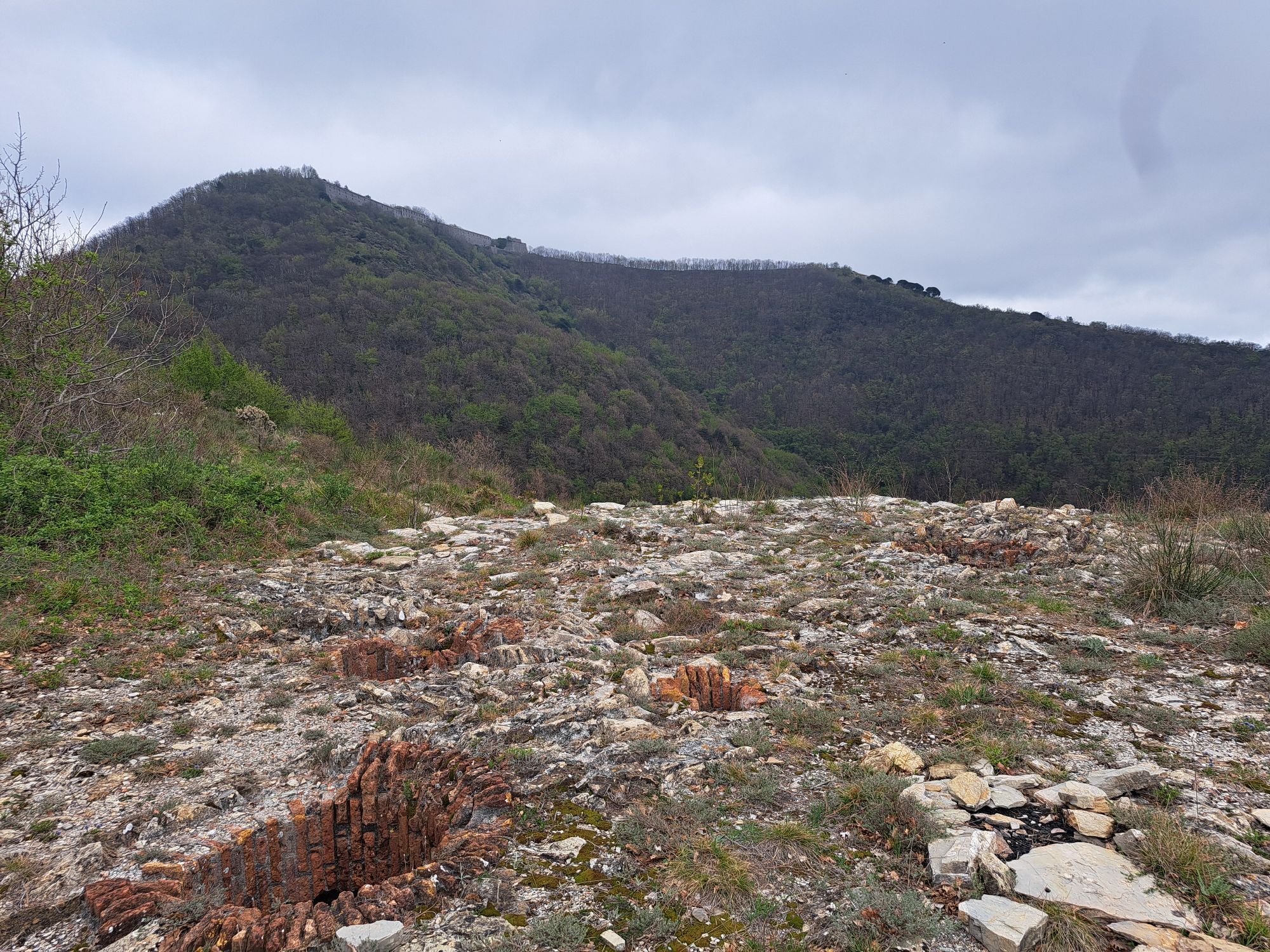
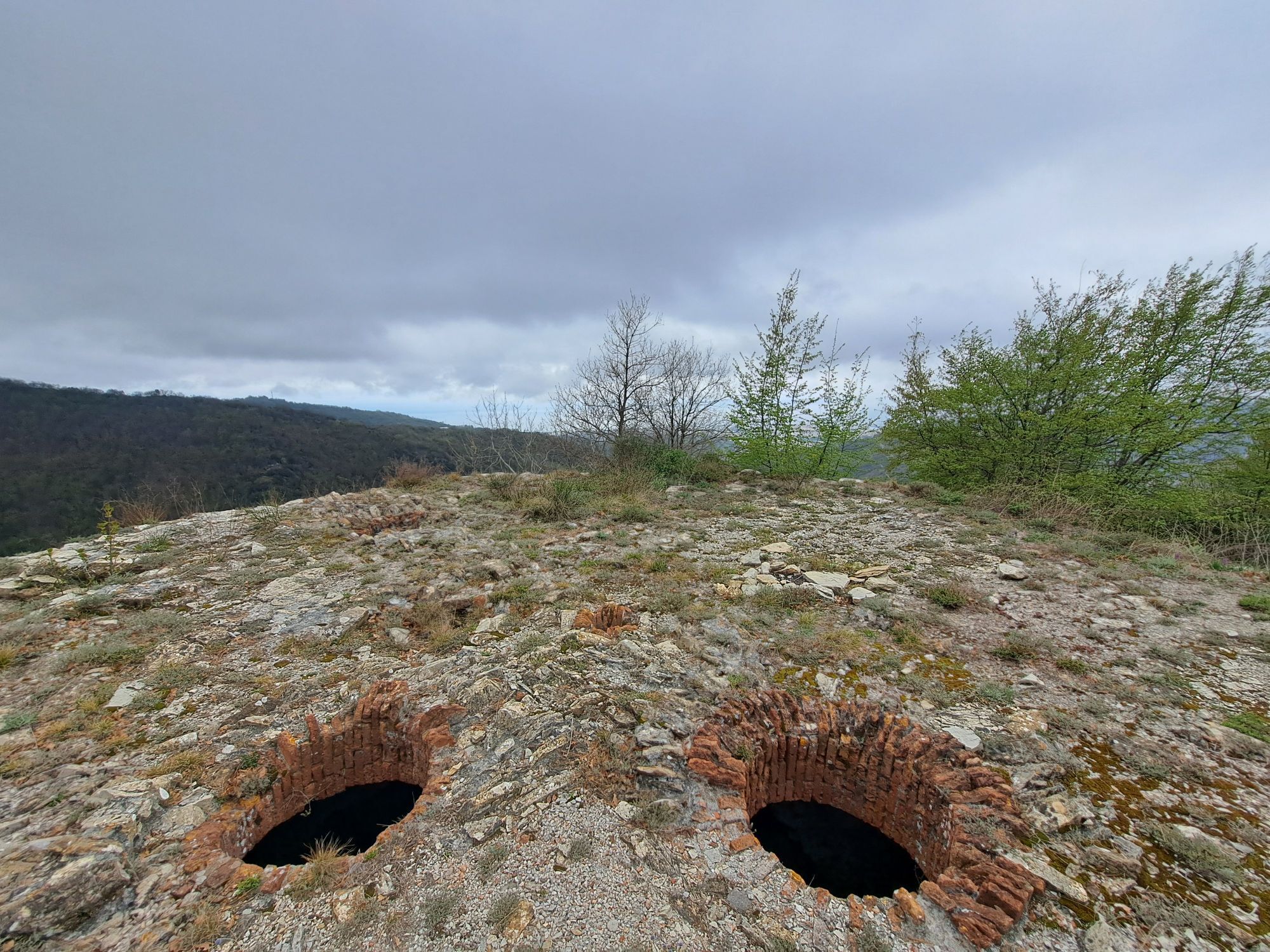
GE_30 The Eastern fortifications of Genoa
from via Bertuccioni, near the church of Santa Margherita, find via del Camoscio where the trail for Monte Fasce starts (trail sign: red rhombus). You walk uphill between the buildings first, then reach...
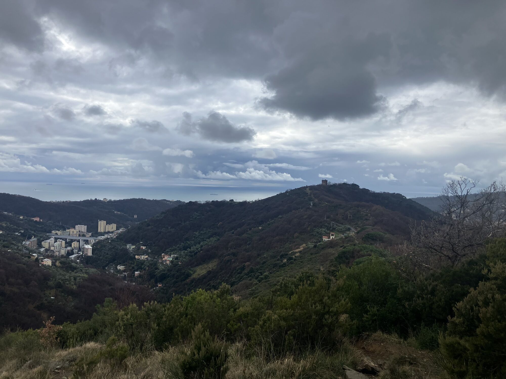
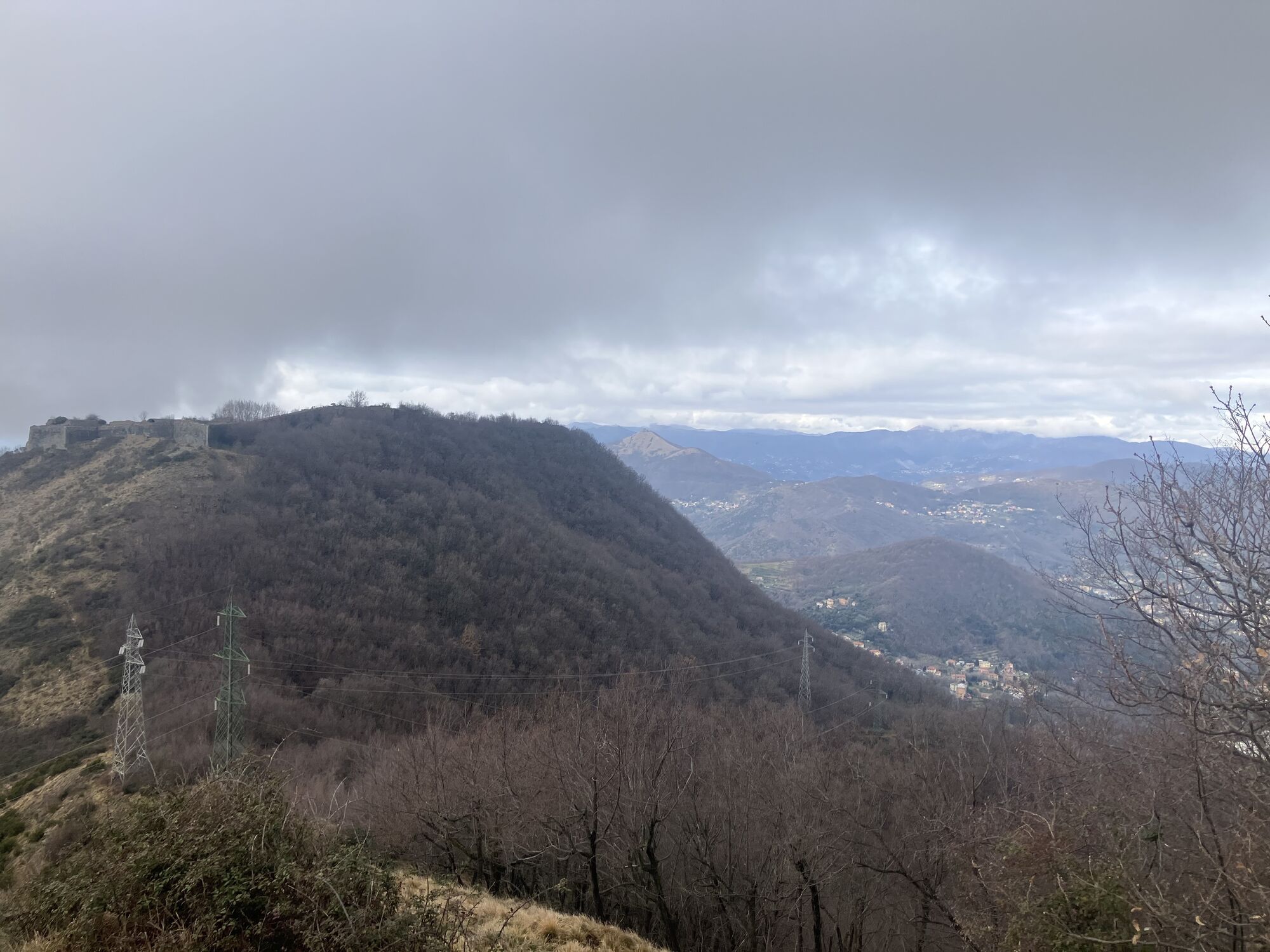
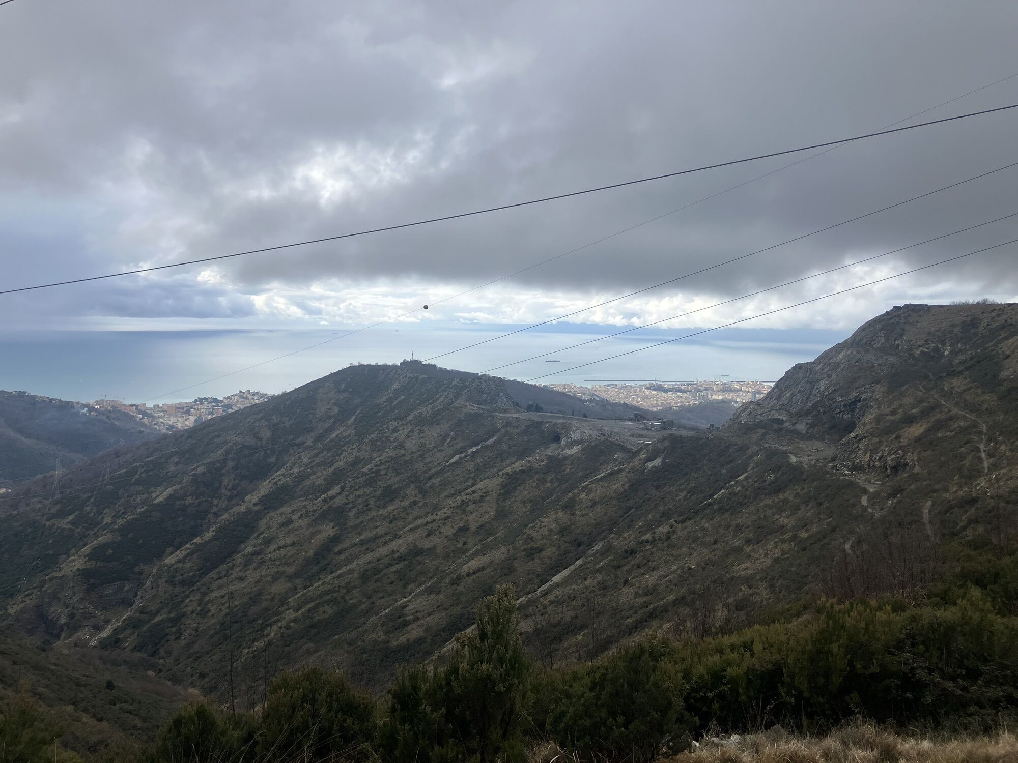
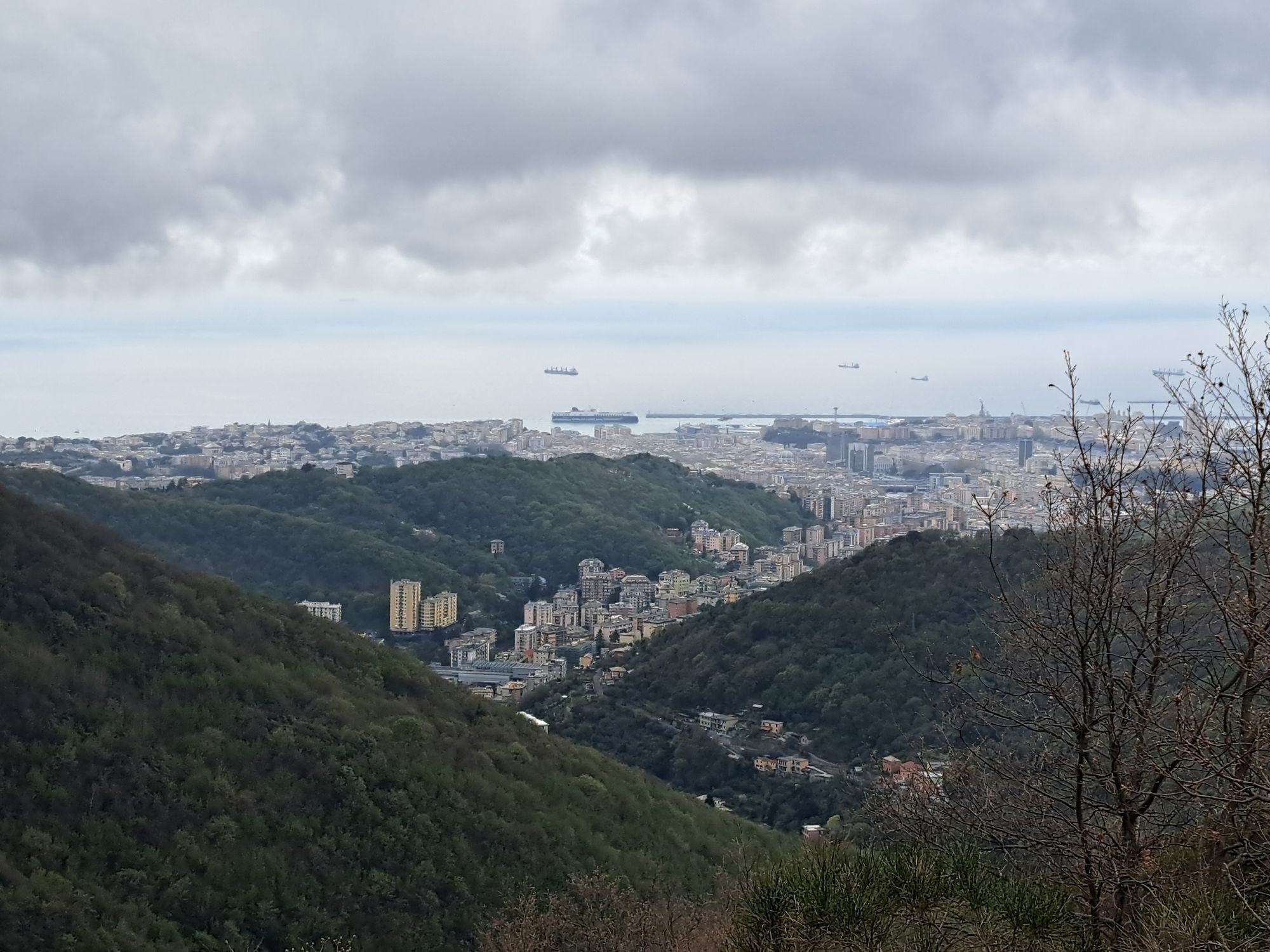
from via Bertuccioni, near the church of Santa Margherita, find via del Camoscio where the trail for Monte Fasce starts (trail sign: red rhombus). You walk uphill between the buildings first, then reach the ridge which you follow as far as Torre Quezzi tower (318 m). Go down to Leamara pass (203 m) and take the napoleonic road to Monte Ratti fort to the right. Walk uphill in the valley reaching a stretch of cobblestone paved road where you turn left around the northern side of the fort. Reach a pass (501 m) and after Monte Poggiasco (562 m) you gradually walk downhill to Sella di Bavari (305 m). From Bavari it is possible to go back to Genova Brignole by bus line n. 85. The path climbs again, passing Monte Riega and Monte Proi as far as the main peak of Monte Bastia (848 m). From Monte Bastia walk down to the provincial road and then up again on a little paved road as far as Monte Fasce (832 m). Walking along the summit of Monte Fasce you find the red “T” trail sign which slopes down along a very panoramic ridge towards Cresta di Monte Moro (475 m) and Monte Moro (406 m). The footpath, in the mediterranean vegetation, reaches San Pietro church at Quinto al Mare. From the church you either reach Quinto railway station nearby, or take bus line n. 17 or n. 15 to Genova Brignole (www.amt.genova.it).


from Genova Brignole railway station and Piazza Verdi take bus n. 37 to reach Piazza Guicciardini (www.amt.genova.it).
from Genova Est motorway exit (A12 Genova-Livorno) reach Marassi football stadium.
Nature and Landscape * * * * * * Family * * * * Gourmet * * * Culture * * * * * *
Popularne wycieczki w okolicy
-
5,0
GE_25 The Guidovia della Guardia
Wędrówka 6,64 km -
Leg 12 from Nervi to Genova Porto Antico
Wędrówka 11,2 km -
5,0
Genova, giro dei forti
światłoWędrówka 11,0 km -
5,0
Leg 11 from Camogli to Genova Nervi
Wędrówka 16,4 km -
GE_24 The walls and the forts of Genoa
Wędrówka 11,9 km -
Ratti Richelieu fort
średniMountainbike 20,0 km -
DH Apparizione – Livellato lines
średniMountainbike 12,2 km -
Giro dei Forti del Righi (Genova)
średniMountainbike 18,9 km -
Forte Diamante: anello da Ponte Sifone Vielino (Genova, Liguria)
średniWędrówka 14,5 km -
Trail no. 26: Crocetta d'Orero - Colle di Creto
Wędrówka 7,23 km

Wędrówki i tropienie


Nie przegap ofert i inspiracji na następne wakacje
Twój adres e-mail została dodana do listy mailingowej.