


GE_27 Monte Penello and Punta Martín
at Colla di Praglia (880 m) there is a crossroads where you take the road which leads southwards signalled by the little red and white flags of the Alta via dei Monti Liguri. After a brief descent the...
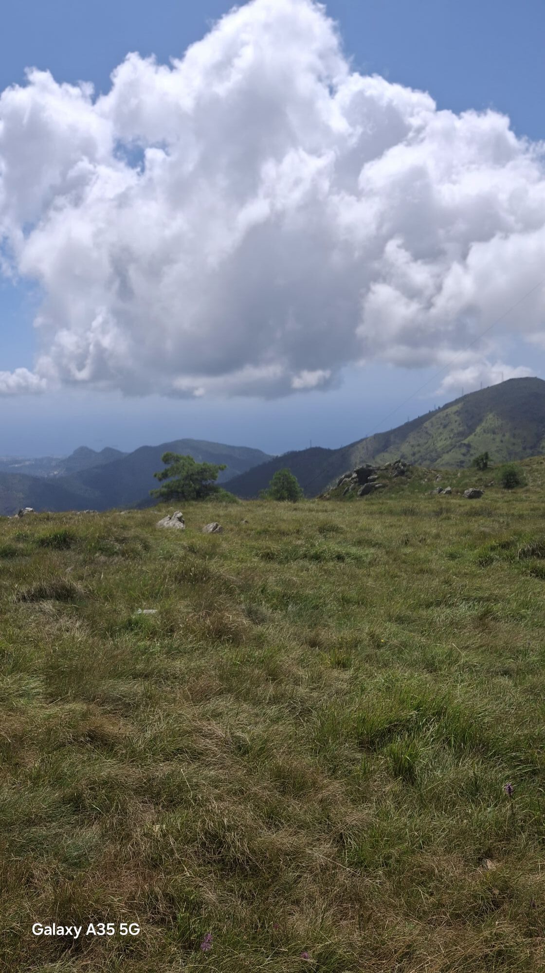
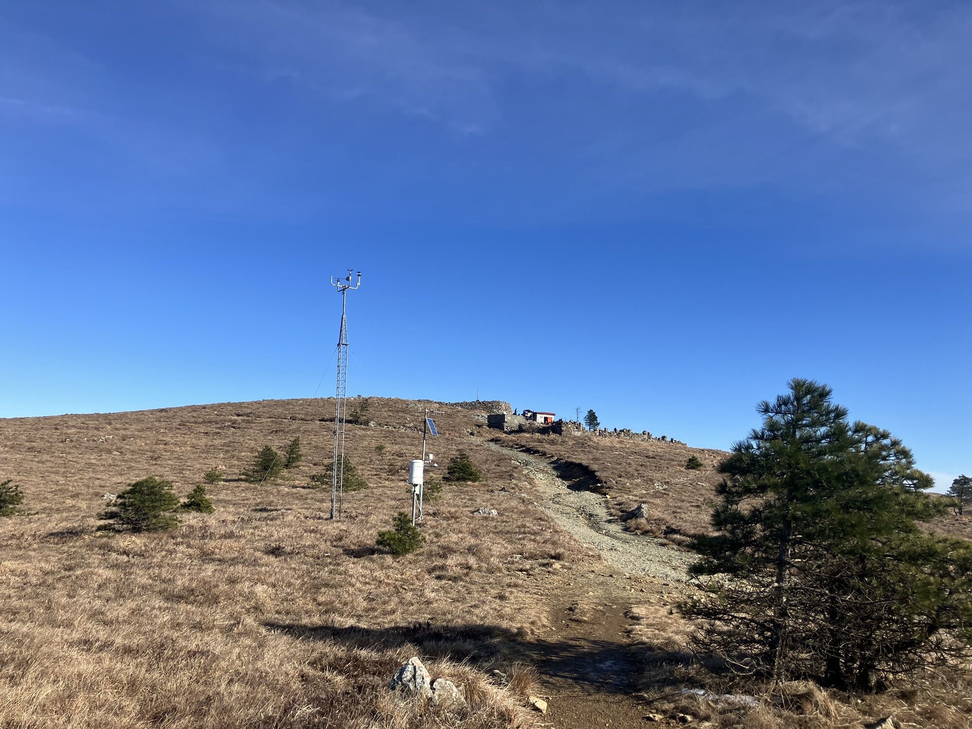
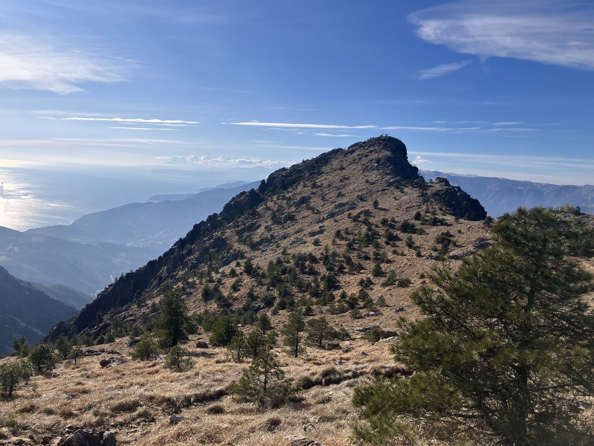
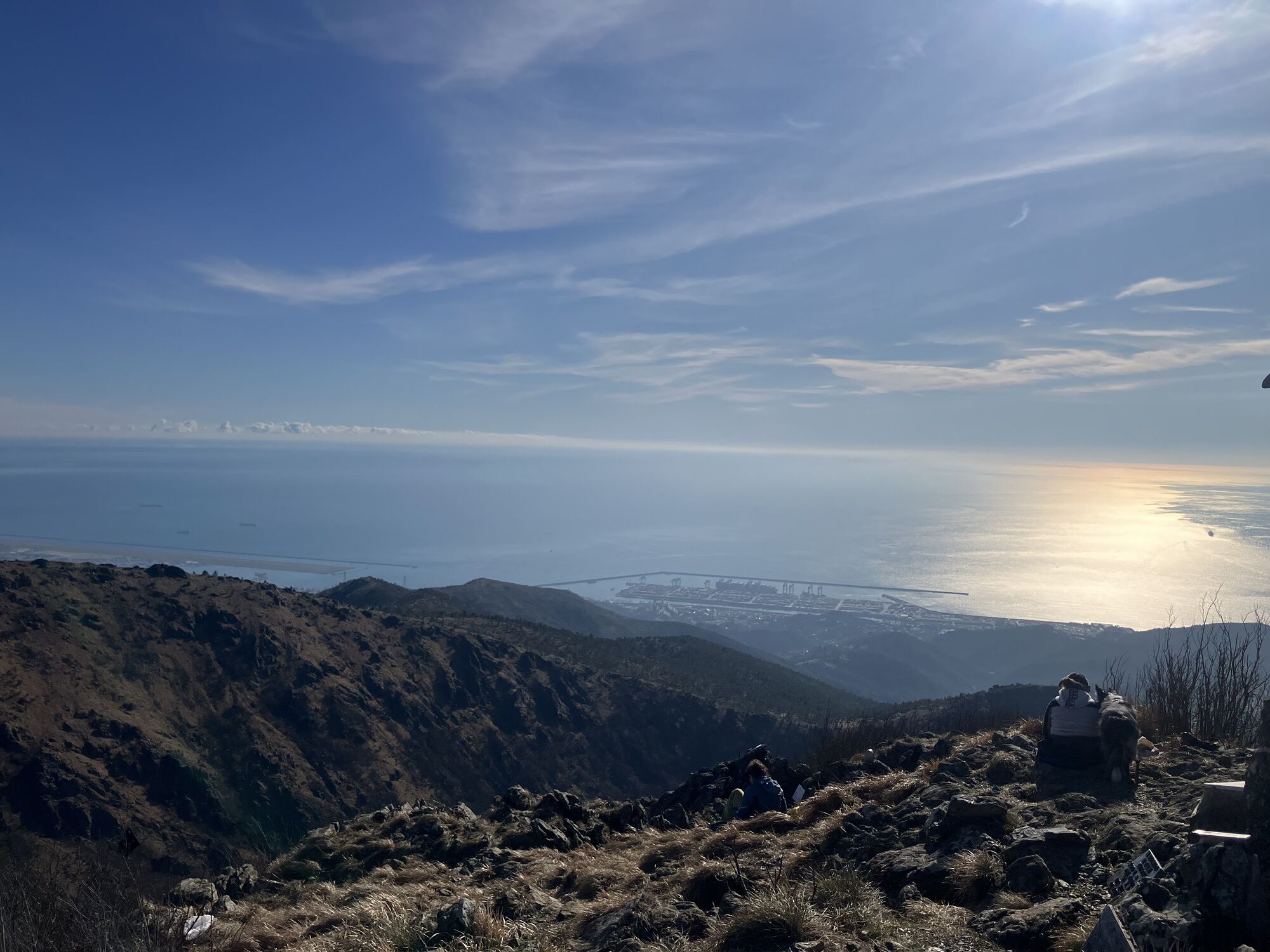
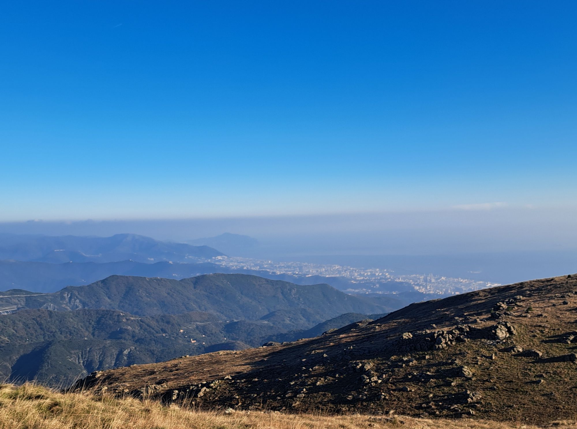
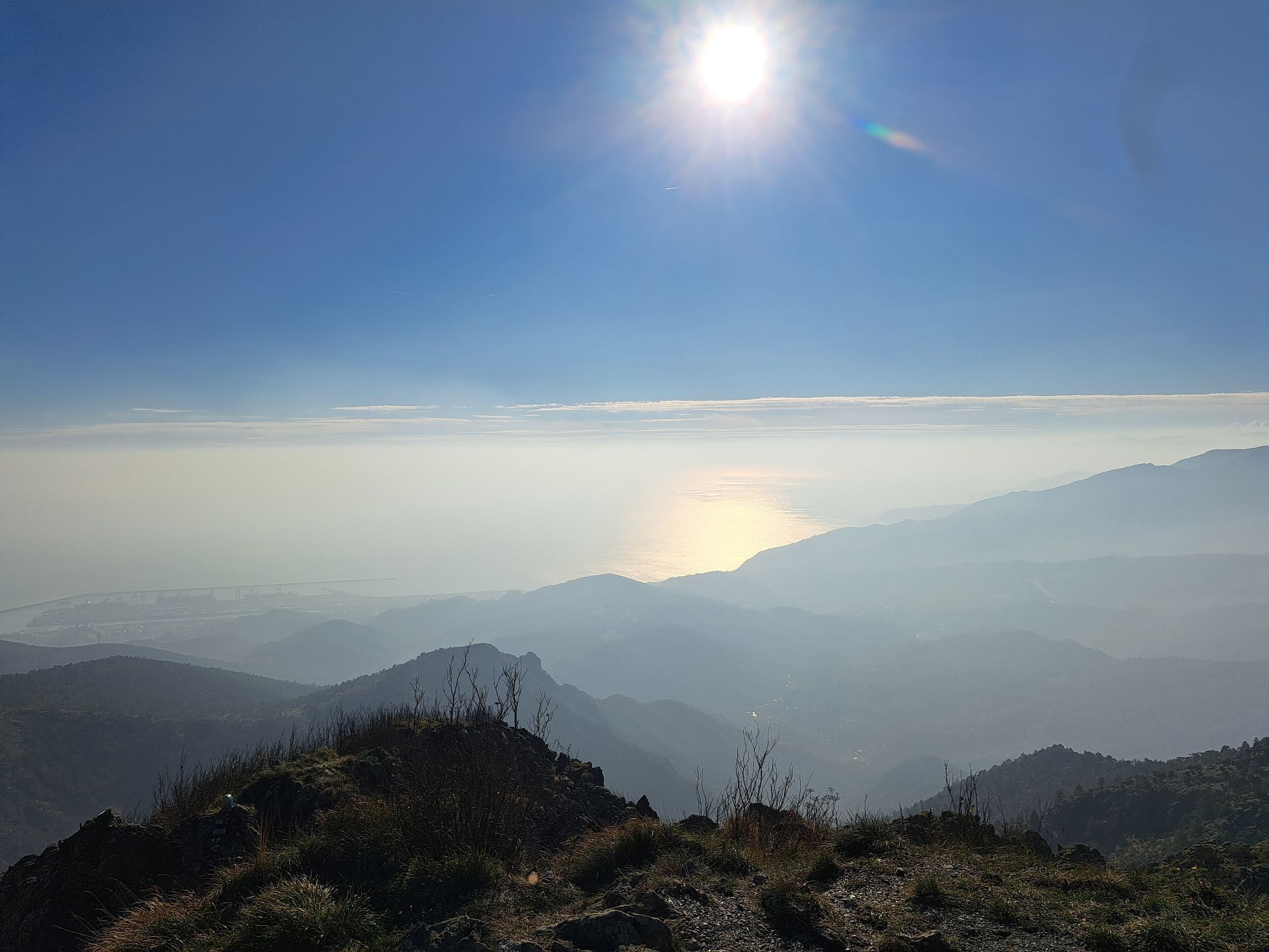
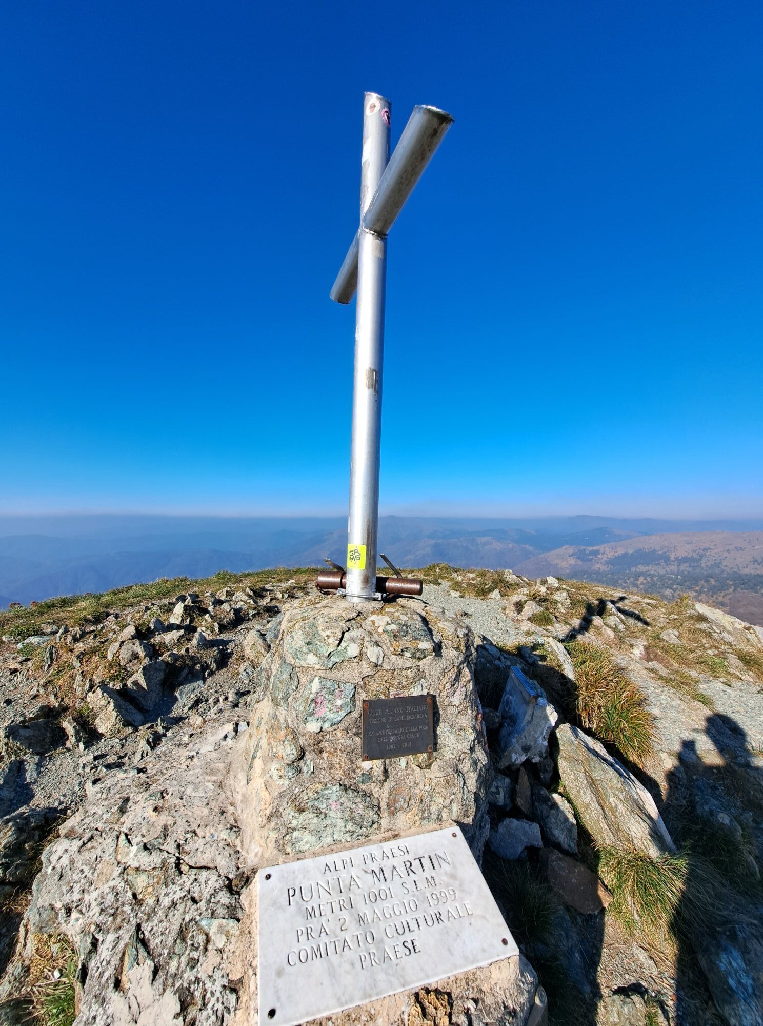
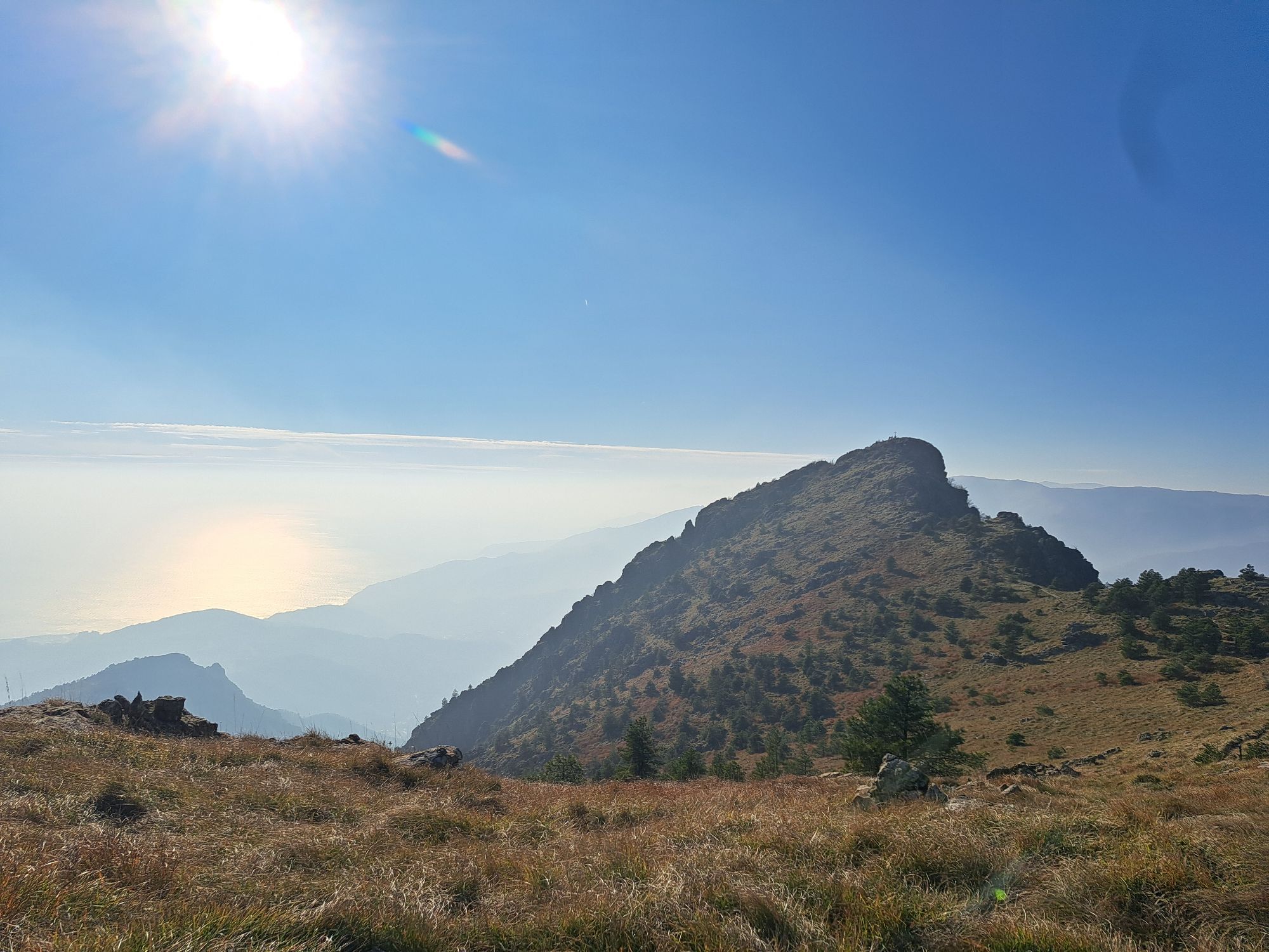
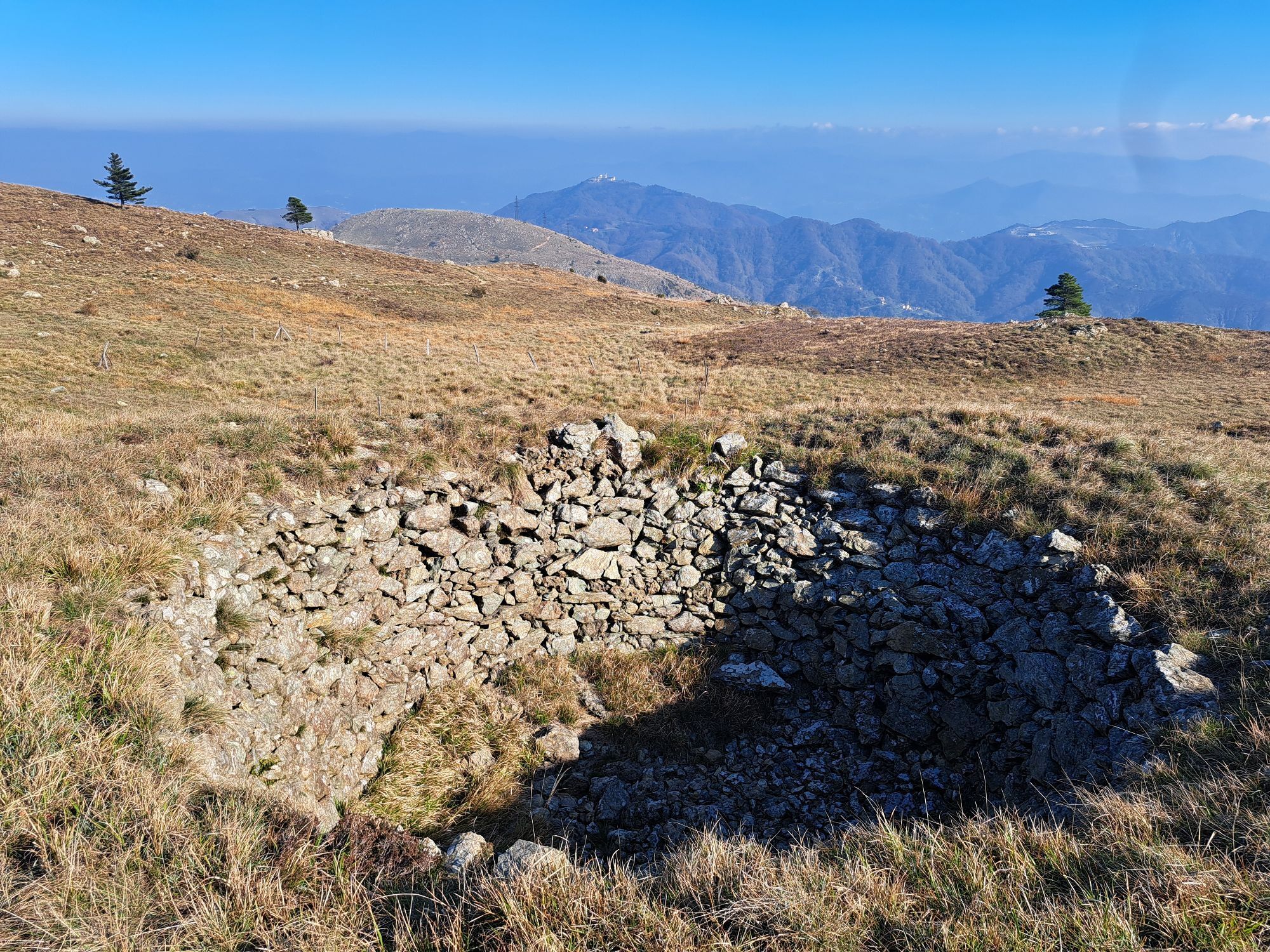
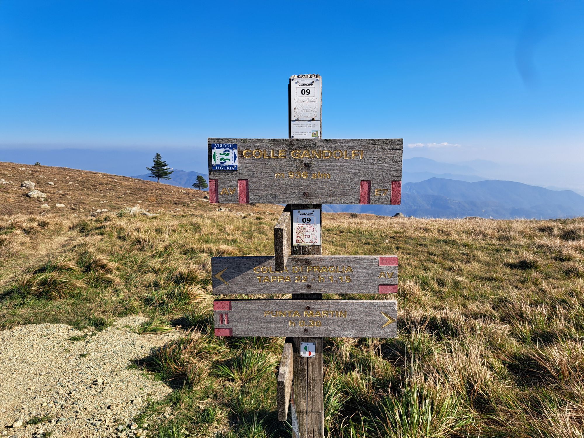
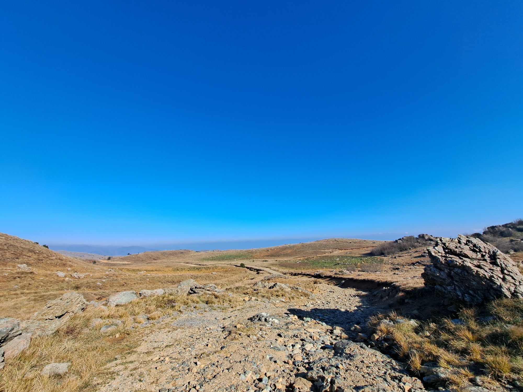
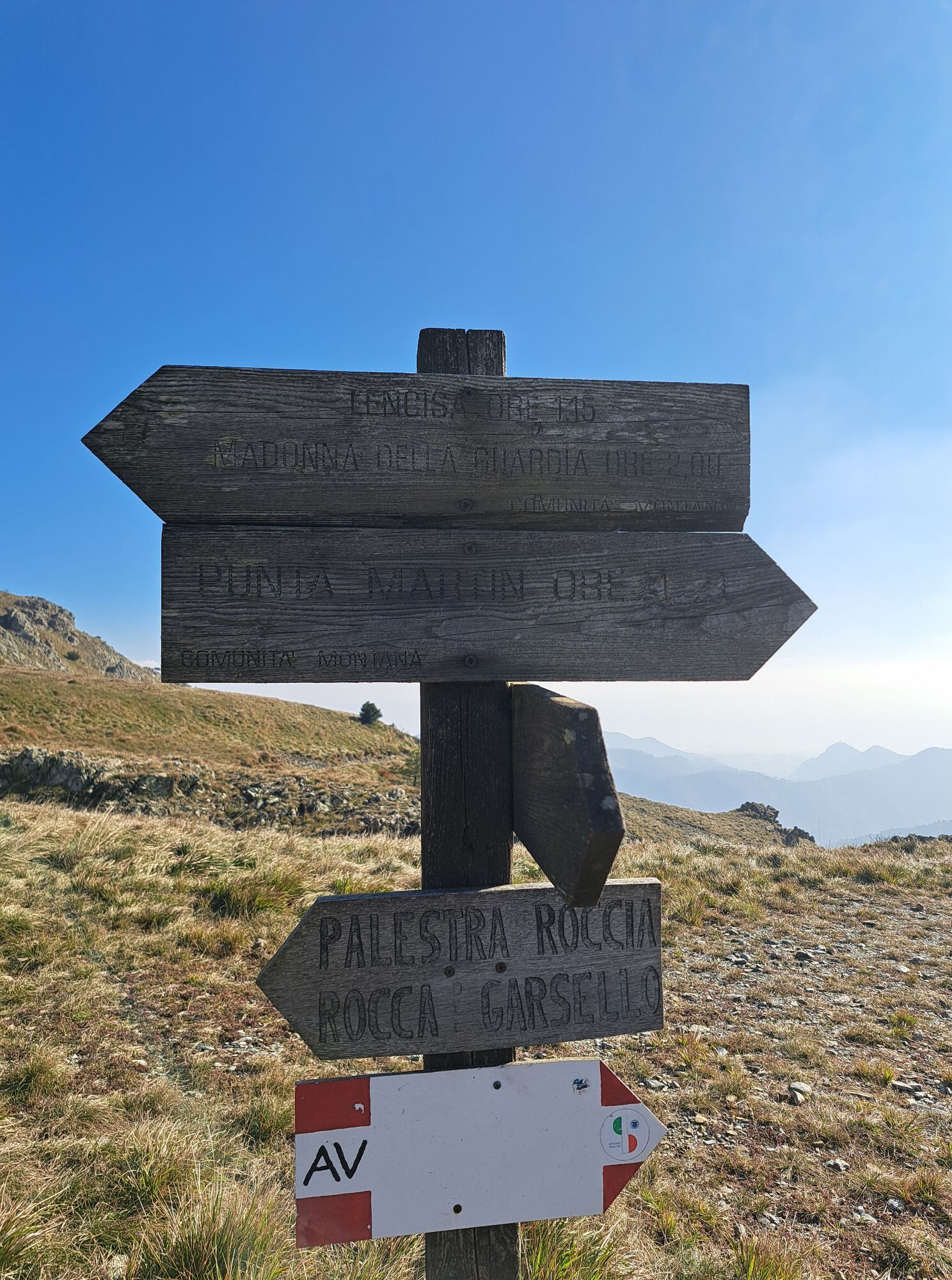
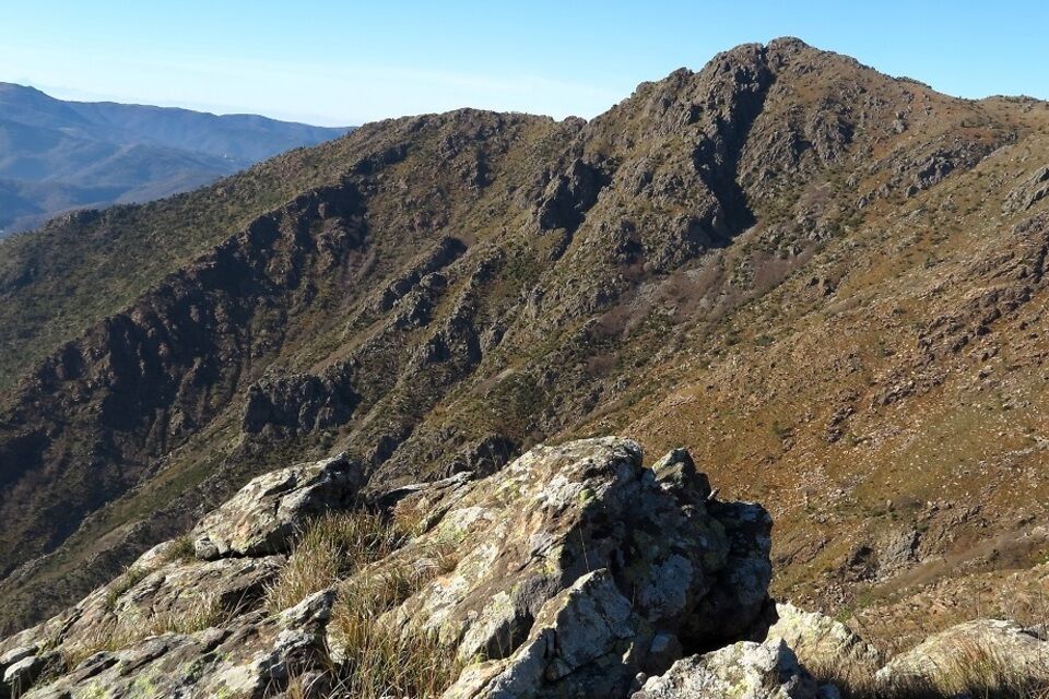
at Colla di Praglia (880 m) there is a crossroads where you take the road which leads southwards signalled by the little red and white flags of the Alta via dei Monti Liguri. After a brief descent the road turns left and becomes unpaved. Bypassing a hill in the Val Polcevera mountainside you arrive at Colla del Canile (844 m). Proceed along the Val Polcevera mountainside where the view ranges from Monte Figne to Madonna della Guardia. Reach a little pass between Monte Proratado and Monte Seieu, after which you carry on walking on almost flat ground as far as Colla del Proratado (897 m) on the ridge between the Stura and Varenna Valleys. Here the sight opens southwards as far as the sea. Ignore a mule-track on the left which goes down to Colla Lencisa, and follow the unpaved road which goes uphill with some bends and reaches Monte Foscallo, then continues along the rocky plateau and, after a power line, shortly goes down to Colle Gandolfi (936 m). Turn off the Alta Via on the right and carry on walking on the dirt road which rises in c. 10 minutes to the gentle and panoramic rounded top of Monte Pennello (995 m) where you find the Bivacco Arnaldo Bellani shelter, recently restored by the fellows of CAI ULE of Sestri Ponente. From here, walking westwards along a panoramic ridge, you can reach in 20 minutes the top of Punta Martin (1001 m). This mountain easily recognisable from far away for its triangular shape, it the highest and most beautiful mountain of the massif, particularly popular with Genoese excursionists. The return is by the same route.

by car, from Genova Bolzaneto motorway exit (A7 Genova-Milano) follow for Pontedecimo and Campomorone, then take to the left take the road which rises to San Martino di Paravanico and Colla di Praglia; or still by car, from Masone exit (A26 Voltri-Alessandria motorway) turn left to Campo Ligure where you take the road to the village Capanne di Marcarolo and before reaching it, turn right for Colla di Paglia.
Nature and Landscape * * * * * Family * * * * Gourmet * * Culture * *
Popularne wycieczki w okolicy
-
5,0
GE_25 The Guidovia della Guardia
Wędrówka 6,64 km -
5,0
Genova, giro dei forti
światłoWędrówka 11,0 km -
GE_24 The walls and the forts of Genoa
Wędrówka 11,9 km -
Giro dei Forti del Righi (Genova)
średniMountainbike 18,9 km -
DH Apparizione – Livellato lines
średniMountainbike 12,2 km -
Forte Diamante: anello da Ponte Sifone Vielino (Genova, Liguria)
średniWędrówka 14,5 km -
Punta Martin - Pegli
średniWędrówka 18,8 km -
Gazzo Tour
średniMountainbike 22,1 km -
5,0
Rete Natura 2000 - Capanne di Marcarolo Stage 2
średniWędrówka 12,6 km -
Arenzano, Bicocca-belvedere-rio cantarena
średniWędrówka 8,48 km
Wędrówki i tropienie


Nie przegap ofert i inspiracji na następne wakacje
Twój adres e-mail została dodana do listy mailingowej.