


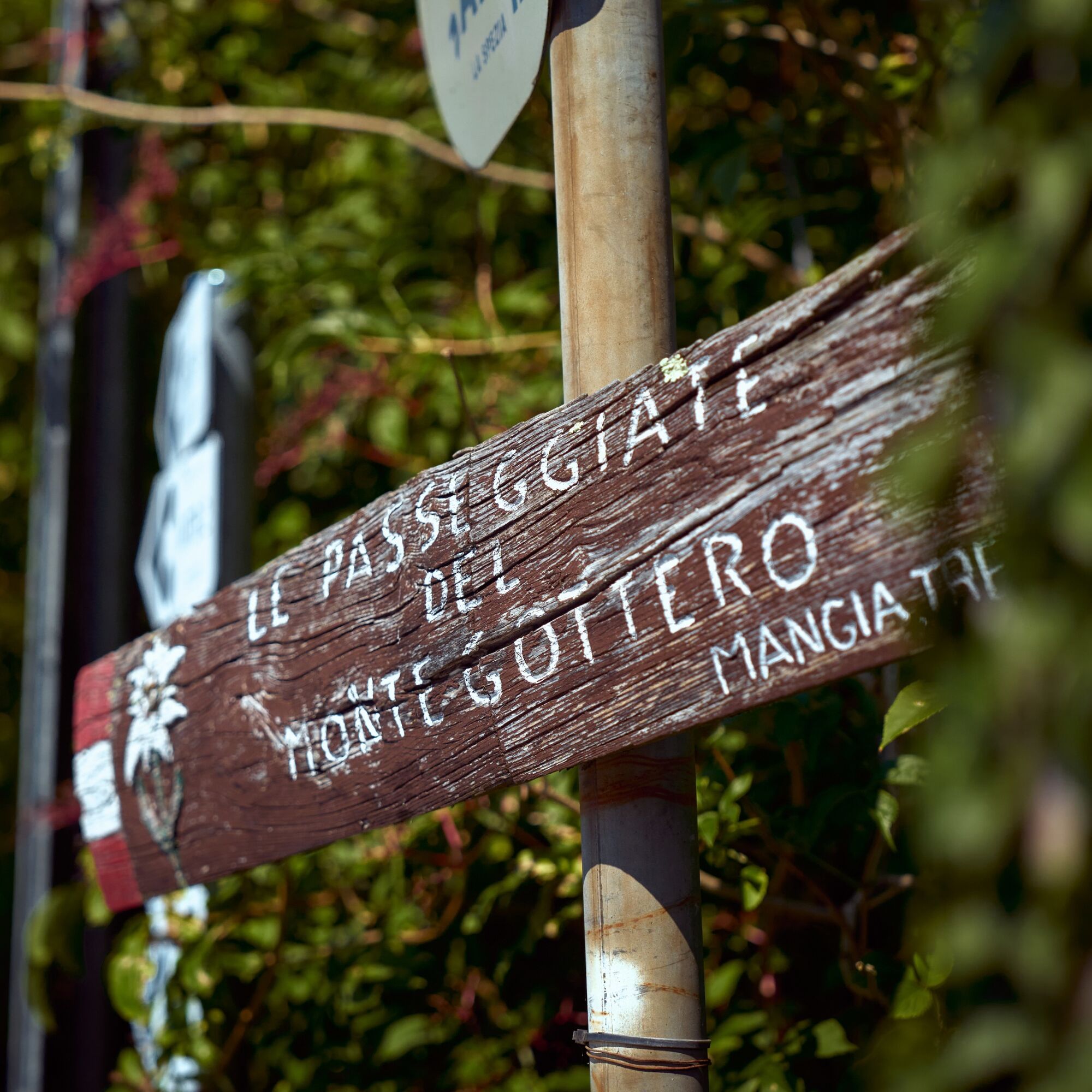
Trail no. 38: Passo della Cappelletta - Passo Calzavitello
It’s a rather long trail which unfolds along a rather solitari route, running through the enormous and amazing Monte Gottero beech woods. The main route Alta Via route takes you North of Monte Góttero,...
It’s a rather long trail which unfolds along a rather solitari route, running through the enormous and amazing Monte Gottero beech woods. The main route Alta Via route takes you North of Monte Góttero, but it’s also possibile to reach the peak following the side route (AV2) which climbs uphill across the watershed. From Foce dei Tre Confini to Passo Calzavitello one can follow a direct route variation (AV2) which shortens the trail by about an hour.

Mountain equipment is recommended.
It is recommended to refuel with water and food before departure.
There are no refreshment points or accommodations along the route.
It is not recommended to undertake the route in winter on the more difficult stages, especially in the presence of snow, ice or fog.
The dominant motif of the stage is the imposing Monte Gottero (1639 m), the highest peak in the province of La Spezia, all covered by a vast forest except for the summit dome where the beech gives way to meadows. From the summit the panorama is vast, circular: on a clear day the view sweeps from the Po Valley to Corsica, from the Apuan Alps to the Maritime Alps. Among the woods on the northern slope, at an elevation of about 1,500, is a basin of glacial origin that is home to a beautiful small lake. Other very small lakes and marshes can be found not far away.Immediately to the east of Mount Gottero opens the Foce dei Tre Confini, an ancient pass that is so called because it was once the meeting point between three states: the Kingdom of Sardinia, the Duchy of Parma and the Grand Duchy of Tuscany. Today, three regions meet here: Liguria, Emilia Romagna and Tuscany.Between the Foce dei Tre Confini and the Calzavitello Pass are ancient boundary stones: between Tuscany and Parma on the AV1 route, between Tuscany and Genoa on the AV2 variant.
Popularne wycieczki w okolicy
-
GE_01 Sanctuary of Velva - Monte Alpe di Maissana
ciężkiWędrówka 14,4 km -
SP_03 Passo della Cappelletta – Monte Góttero – Foce dei Tre Confini – Passo della Cappelletta
Wędrówka 11,2 km -
SP_16 La Valle Lagorara
Wędrówka 11,9 km -
SP_09 Anello di Varese Ligure
Wędrówka 23,1 km -
SP_02 I monti Dragnone e Castellaro
Wędrówka 6,37 km -
Trail no. 40: Passo di Rastello - Valico di Casoni
Wędrówka 9,97 km -
Trail no. 37: Passo di Cento Croci - Passo della Cappelletta
Wędrówka 5,02 km -
Trail no. 36: Colla Craiolo - Passo di Cento Croci
ciężkiWędrówka 14,5 km -
Long Loop
średniMountainbike 21,8 km -
Trail no. 39: Passo Calzavitello - Passo di Rastello
Wędrówka 4,84 km
Wędrówki i tropienie


Nie przegap ofert i inspiracji na następne wakacje
Twój adres e-mail została dodana do listy mailingowej.