


Cravarezza
The route starts from Finale Ligure and partially follows the racetrack of the 2014 Enduro World Series. Continue on asphalt in the direction of Feglino, then towards Colle del Melogno and Pian dei Corsi;...
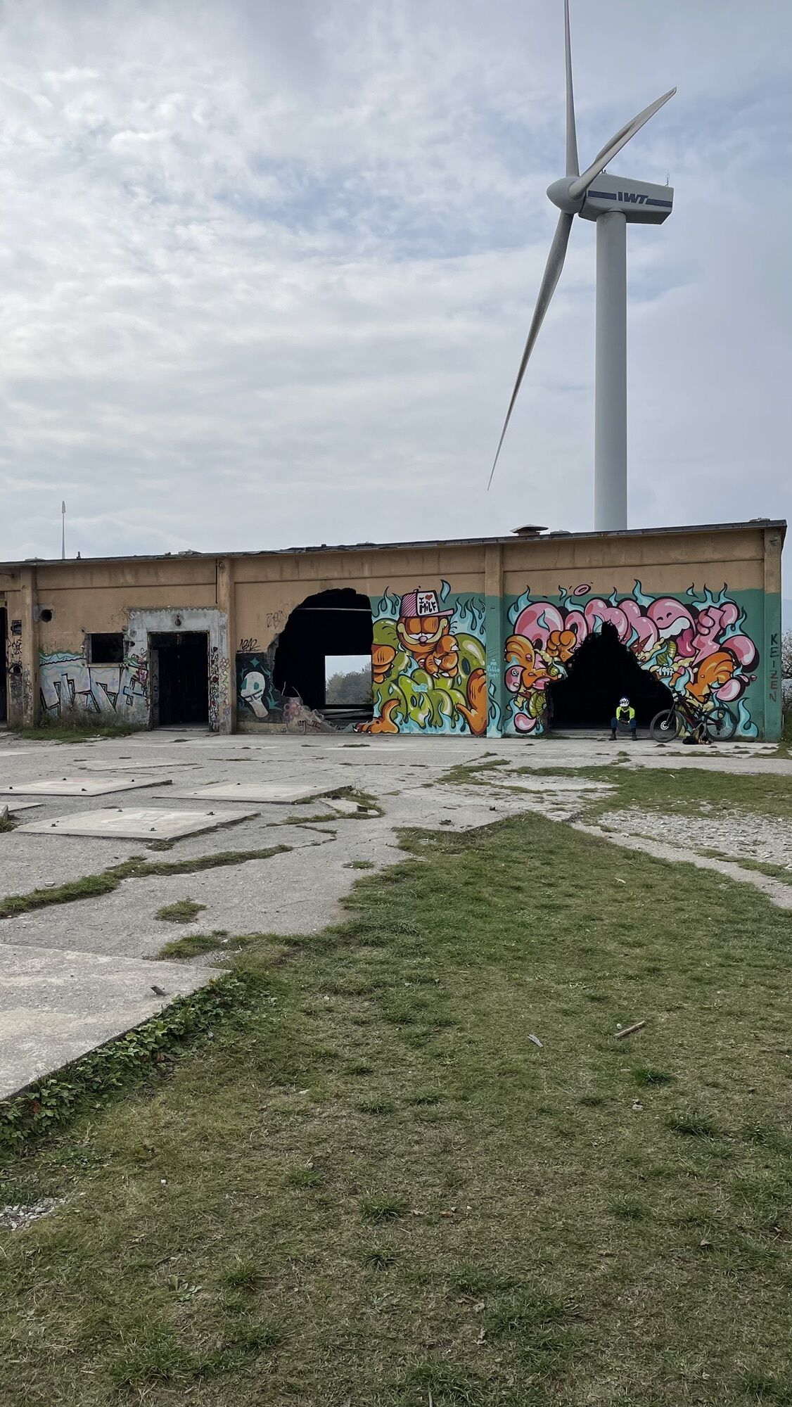
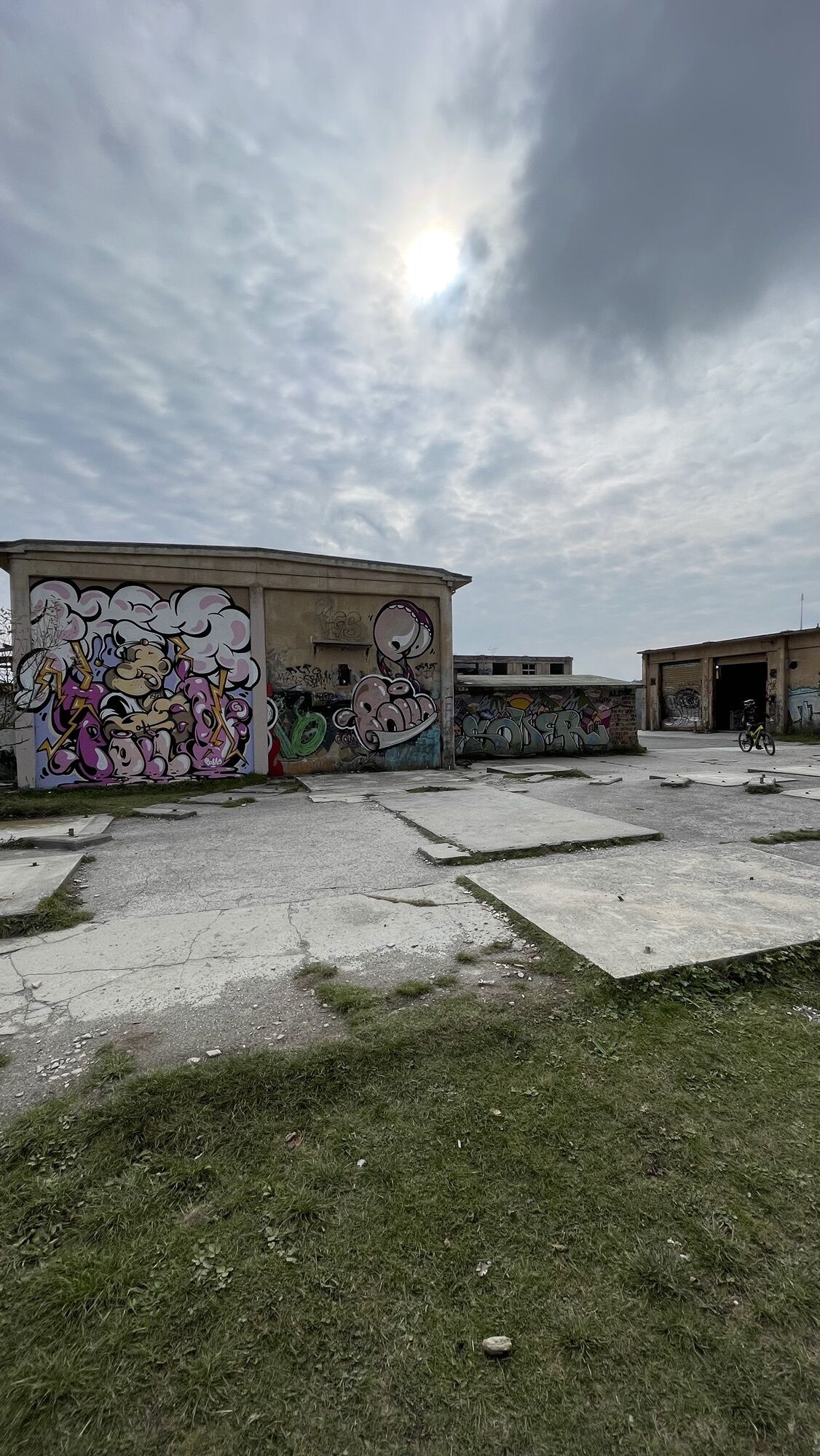
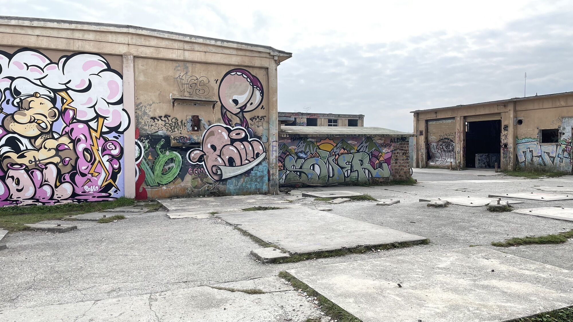
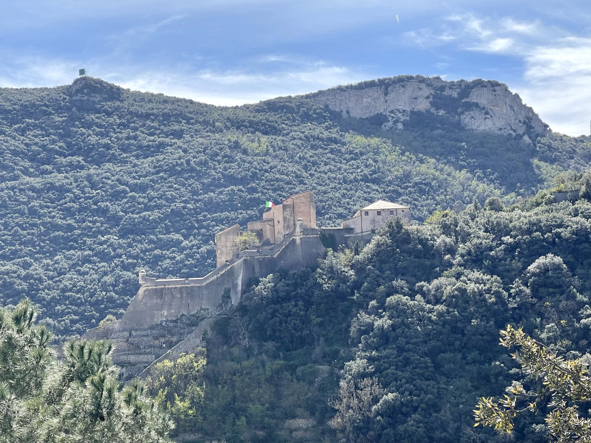
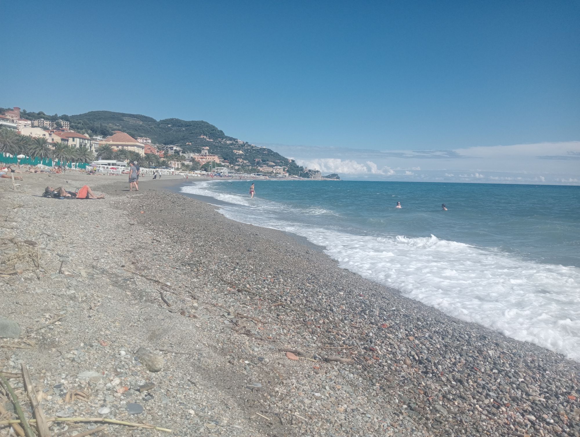
The route starts from Finale Ligure and partially follows the racetrack of the 2014 Enduro World Series. Continue on asphalt in the direction of Feglino, then towards Colle del Melogno and Pian dei Corsi; from there, ride along the edge of the former NATO base and, following the Alta Via track, reach the summit of Colle. Descending, you will reach a three-way junction on top of a rise: turn right and keep right onto the trail known as Cravarezza, characterized by a series of compressions and corners, not too technical but designed to offer something like a roller coaster for mountain-bikes. Head towards Colla San Giacomo and stay on the trail that goes northwards; the track starts with an uphill section but it soon becomes really good fun and, passing through a beech forest, takes you to Colla del Termine. There, pick up the dirt road signposted with a red R that climbs up to Monte Alto, from where the Stragroppo trail, a long single-track that leads to Feglino, begins: follow it until you turn onto Terre Alte trail. Continue to Croce Savio and pick up the uphill trail to the right; after about 800 m, start the descent on a trail that alternates jumps and corners down to Feglino. From the village, climb to San Rocco and reach the start of the trail known as Neanderthal that will take you down to the valley and, later on, to the start point. The route follows the racetrack of the first edition of FinalEnduro (2008) and leads you to discover panoramic spots such as Bric dei Crovi, Bric dei Monti or Punta Crena. Do not miss the square Ciappo dei Ceci with its petroglyphs, the Monticello Dolmen, in addition to Grotte della Strapatente caves or the really must-see village of Varigotti.


Access by car: Exit the motorway at the tollbooth of Finale Ligure, then continue towards the town centre.
Shuttle Service: available www.finaleoutdoorresort.com/gravitysh...
Finale Ligure
Classification: XC Difficulty: moderate Rideability +/- : 99% Water Points: 3 Local Knowledge: www.finaleoutdoorresort.com/ www.andreaprincipato.com/ Note: during the winter, the highest sections can be covered with snow
Popularne wycieczki w okolicy
-
4,8
SV_08 Monte di Capo Noli e Caverna dei Falsari
Wędrówka 5,49 km -
Rocche Bianche e Monte Mao (Finale Ligure)
średniMountainbike 37,0 km -
4,0
Finale Enduro 2008
średniMountainbike 38,2 km -
Highlands and Alta Via
średniMountainbike 63,0 km -
5,0
Colla San Giacomo E-bike Tour
średniJazda na rowerze 30,3 km -
Leg 19 from Noli to Finalborgo
Wędrówka 18,9 km -
Manìe Mània
ciężkiMountainbike 26,9 km -
5,0
Il Paradiso di Manù - Noli - Monte Capo Noli - Varigotti
średniWędrówka 10,1 km -
EWS Rock and Roll
średniMountainbike 31,8 km -
2,0
Finale Ligure
średniDroga rowerowa 37,2 km
Wędrówki i tropienie


Nie przegap ofert i inspiracji na następne wakacje
Twój adres e-mail została dodana do listy mailingowej.