


Oxygen and you between land and sea (4 days / 3 nights)
Poziom trudności: 2
DAY 1: MOUTIERS LES MAUXFAITS - LUÇON / 37 km
Get on your bike to discover diverse and historic landscapes! Pedal along Lac du Graon, relax on a pedal boat in summer, then take a break in Rosnay to admire...
DAY 1: MOUTIERS LES MAUXFAITS - LUÇON / 37 km
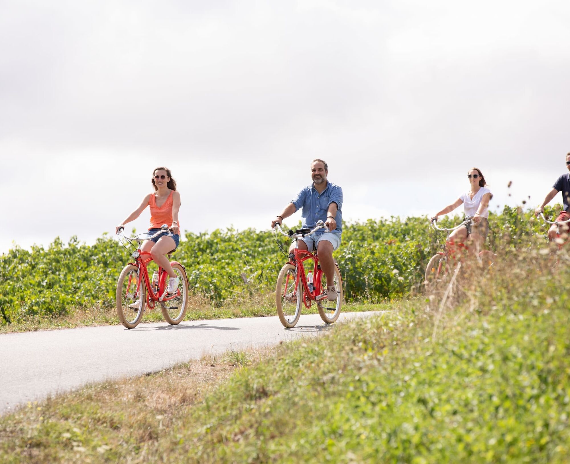
Get on your bike to discover diverse and historic landscapes! Pedal along Lac du Graon, relax on a pedal boat in summer, then take a break in Rosnay to admire the vineyards of the Fiefs Vendéens. Continue towards Mareuil-sur-Lay for a wine tasting, and finish your day in Luçon. Before dinner, refresh yourself in Jardin Dumaine and admire the Cathedral and its cloister.
DAY 2: LUÇON - LA TRANCHE SUR MER / 48 km
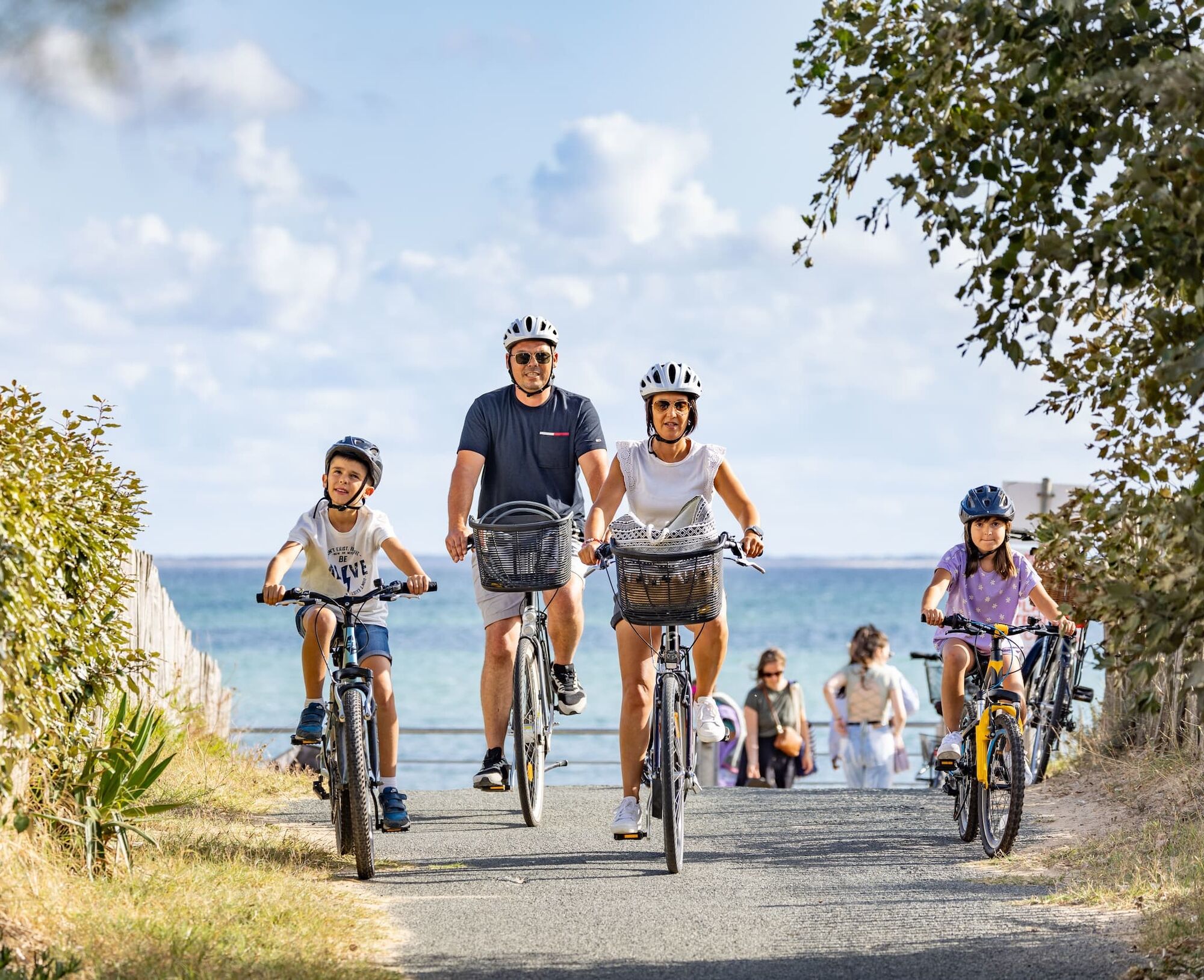
From Luçon, the adventure continues through the wet meadows of the Marais poitevin to the Polders, a prelude to an escape to the sea. Lunch break in Saint-Michel-en-l’Herm, where the Royal Abbey and Île de la Dive reveal the history and beauty of the Baie de l’Aiguillon. Following the Lay Estuary, visit an oyster farm or make a sporty stop at Atlantic Wake Park. End the day in La Tranche sur Mer with an aperitif at sunset and a local dinner.
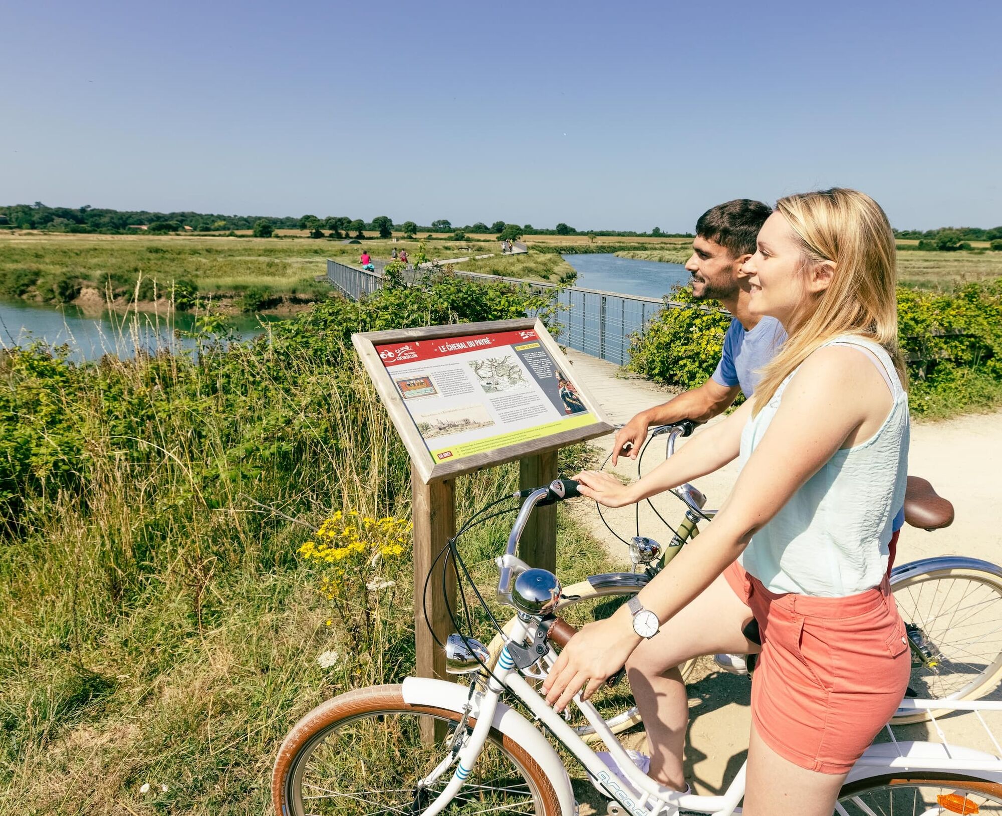
DAY 3: LA TRANCHE SUR MER – TALMONT SAINT HILAIRE / 36 km
Start your day cycling along the forest in Longeville-Sur-Mer, famous for its "Bud Bud" surf spot. Continue your ride visiting the gardens and home of Georges Clemenceau, nicknamed "La Bicoque." After a friendly lunch, head towards Jard-Sur-Mer to explore its forests, marshes, the Pointe du Payré, and the Abbey of Lieu Dieu. Continue to the port of la Guittière to taste oysters. Then return to Veillon beach to admire nature, and rest at a partner "Bike Friendly Accommodation" before heading off again.
DAY 4: TALMONT SAINT HILAIRE – MOUTIERS LES MAUXFAITS / 29 km
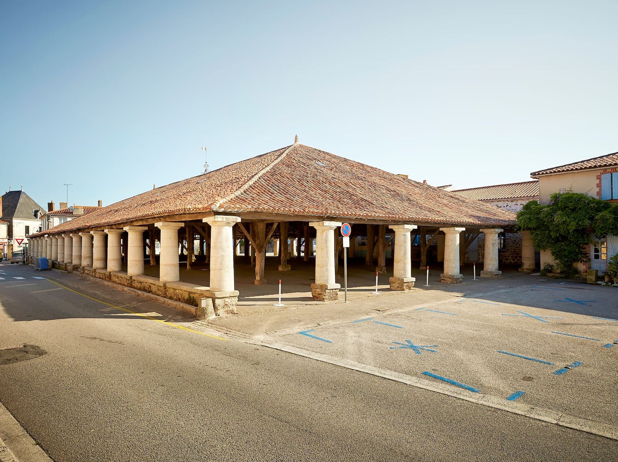
Along the way, admire the Château de Talmont, fortress of Richard the Lionheart, perched on its rocky spur. Enjoy the gentle countryside as you continue towards Lac de Finfarine at Poiroux. Visit La Folie de Finfarine for a unique immersion in the world of bees and honey. Taking small roads, you will reach Moutiers-les-Mauxfaits, famous for its magnificent 12th-13th century market halls.

This route follows the Vendée bike paths.
Tak
Tak
Before setting off:
Ensure the bike is in perfect mechanical condition, including tires and brakes Make sure the bike is properly adjusted to your body shape Wearing a helmet is strongly recommended Bring a repair kit Remember that traffic laws apply to cyclists at all times Never ride more than two abreast and move into a single file when traffic conditions require it Respect other road users as you would like them to respect you Choose a route adapted to your physical abilities Inform your close contacts of your itinerary Check the weather conditions A first aid kit is not essential but can be very useful Inform yourself and keep emergency call numbers handy Respect the environment by not throwing your food wrappers on the roadside If you need to return at dusk, make sure you can see and be seenIn case of emergency, dial 112
Consider carpooling
Favor the train for your travel
Parking: church square in Moutiers les Mauxfaits (located 1.3 km from the cycling route at the ZAC de la Poiraudière)
2
Popularne wycieczki w okolicy
A loop on the Vendée vélo along the water from Moutiers-les-Mauxfaits
światłoJazda na rowerze 357,7 km- 5,0
Saint-Vincent-sur-Graon - Chauveteau - Les Petites Touches
średniWędrówka 12,1 km L'Aiguillon-sur-Mer - La Faute-sur-Mer - Lotissement des Chardonnerets - Église Saint-Nicolas
średniMountainbike 66,7 kmSaint-Vincent-sur-Jard - La mariennée - Brasserie Nomad - Saint-Nicolas
średniMountainbike 44,0 kmLa Tranche-sur-Mer - Le Port Puant - Les Violettes - La Faute-sur-Mer
średniMountainbike 50,1 kmLa Tranche-sur-Mer - Le Port Puant - Les Violettes - Francisco
światłoMountainbike 28,9 kmChaillé-sous-les-Ormeaux - Église de la Transfiguration - La Maison Neuve
średniMountainbike 40,0 kmÉglise Saint-Jacques - Saint-Vincent-sur-Graon - Les Petites Touches - Les Grandes Touches
średniWędrówka 8,45 kmLes Sables-d'Olonne - La Terrasse du Littoral - Église Sainte-Radegonde - Saint-Michel-en-l'Herm
średniRower szutrowy 68,6 kmLa Bretonnière - Église Saint-Romain - Saint-Benoît - Église Saint-Nicolas
średniDroga rowerowa 59,9 km

Wędrówki i tropienie


Nie przegap ofert i inspiracji na następne wakacje
Twój adres e-mail została dodana do listy mailingowej.