



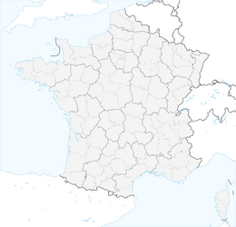


The Vélodyssée via the Nantes-Brest canal between Nantes and Redon
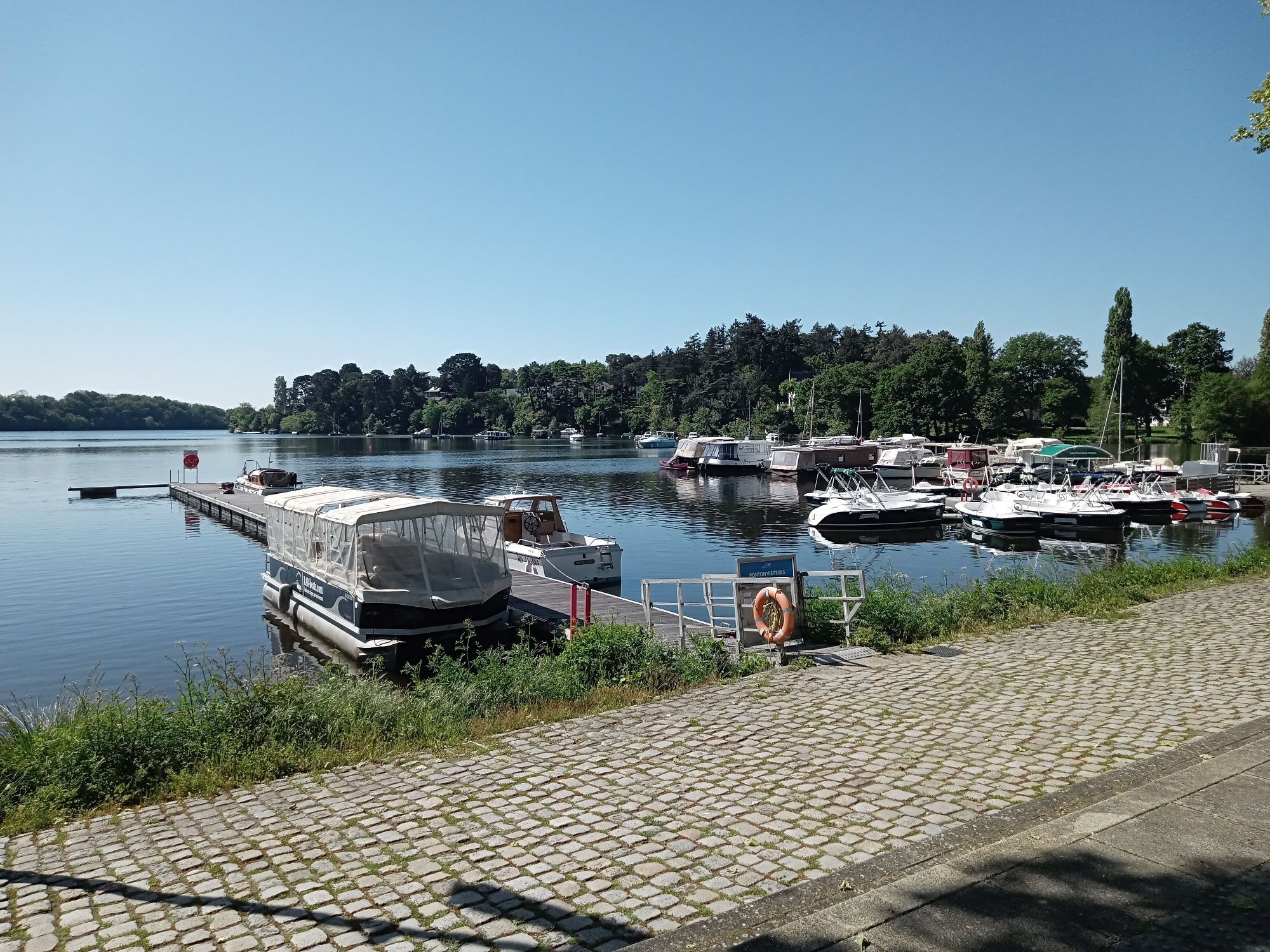
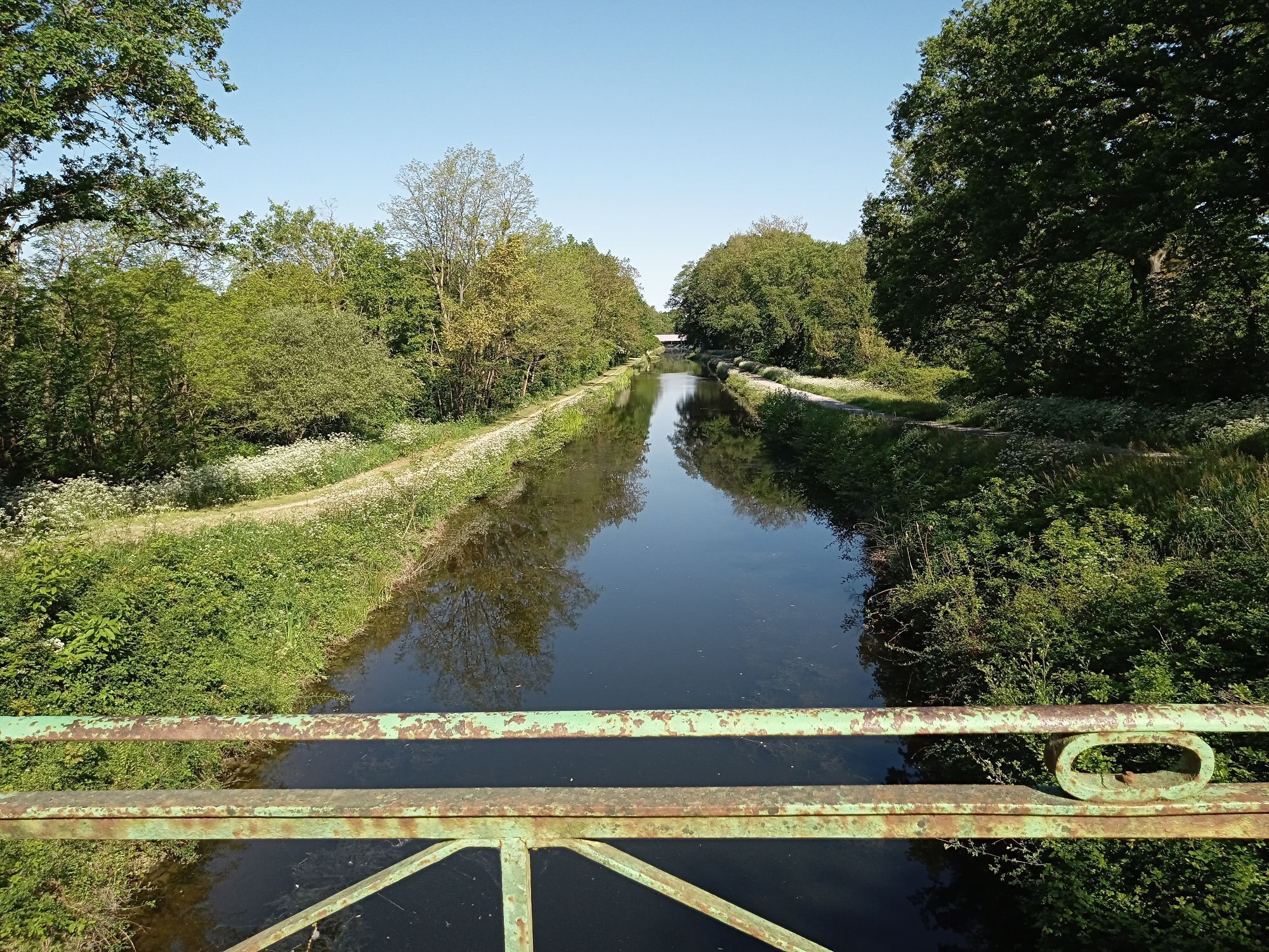
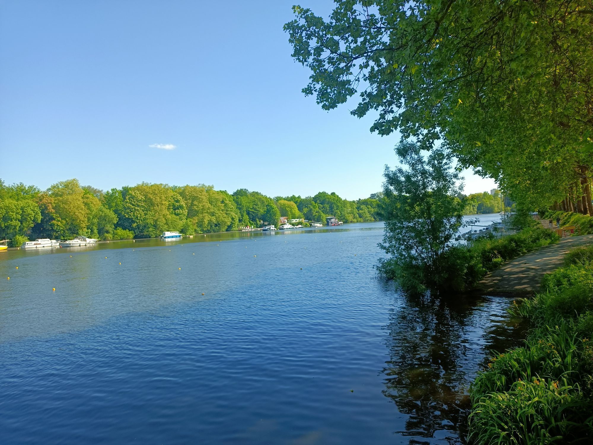
From Nantes station, take the TER and start your journey in Brittany at Redon, then head for the Pays de la Loire region. Enjoy the port of Redon, the historic circuit and the local market on Friday and...
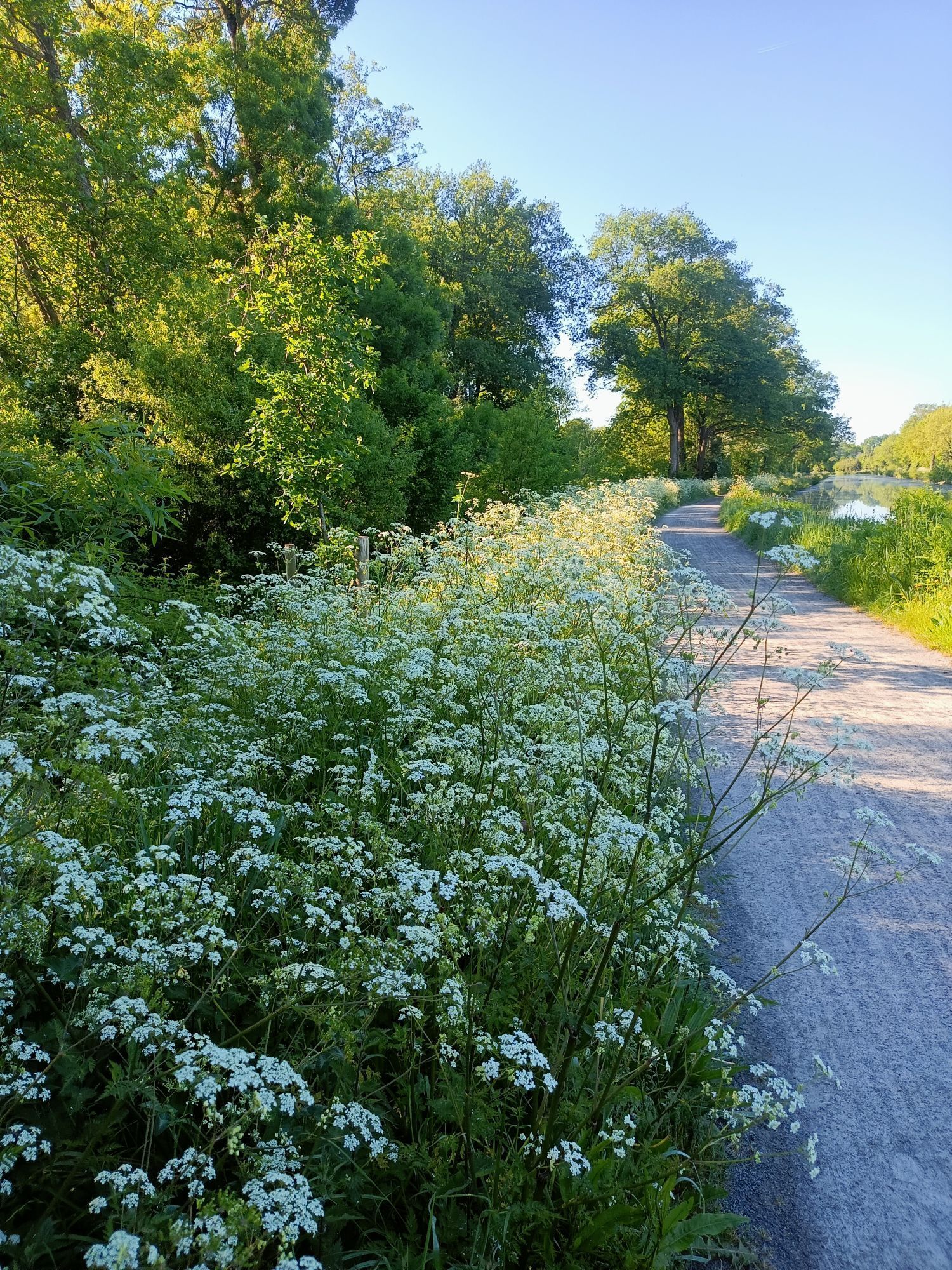
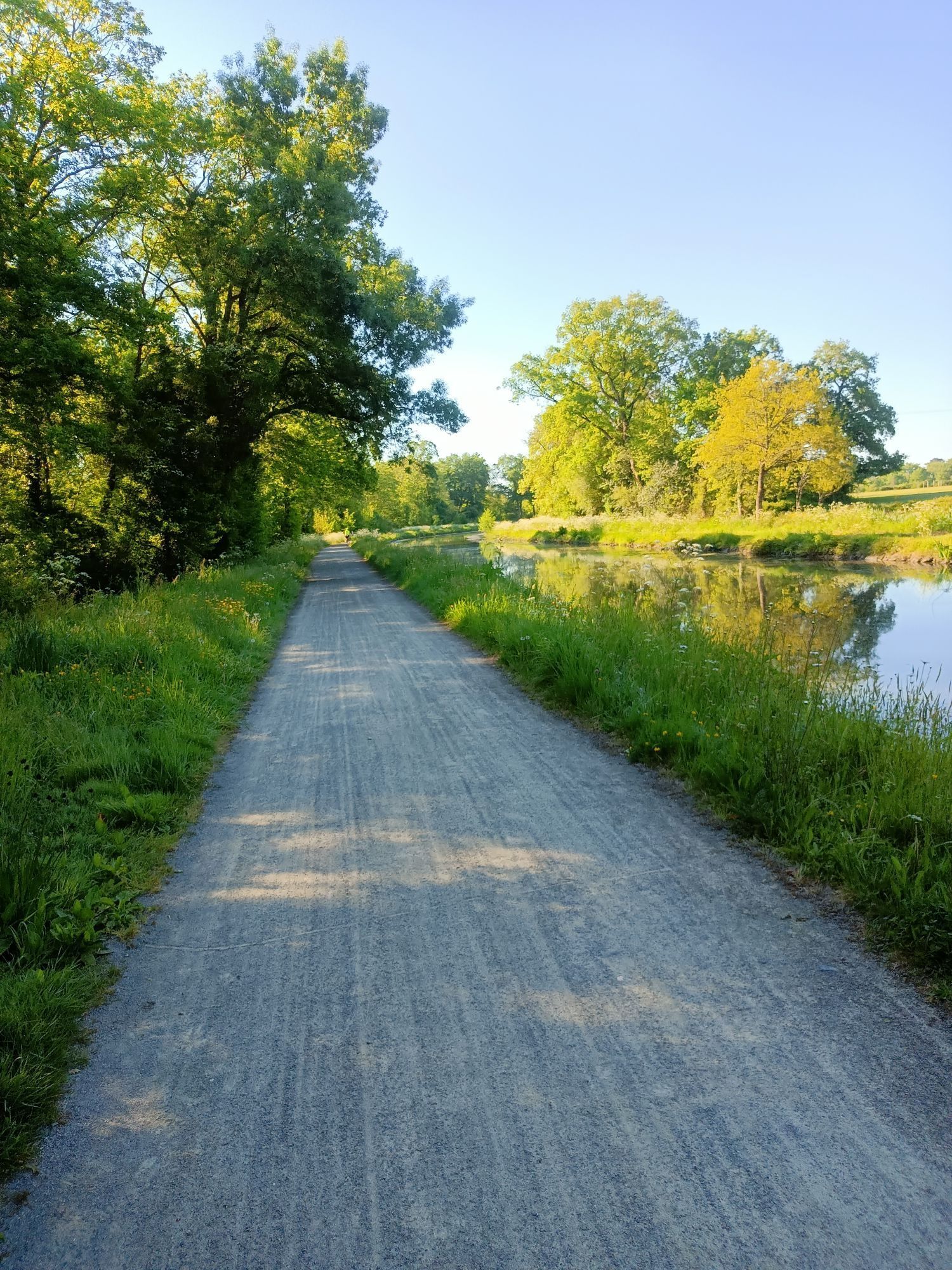
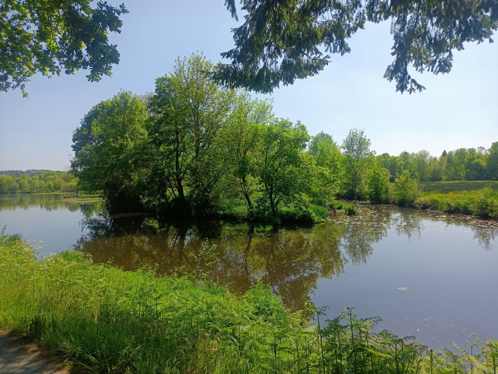
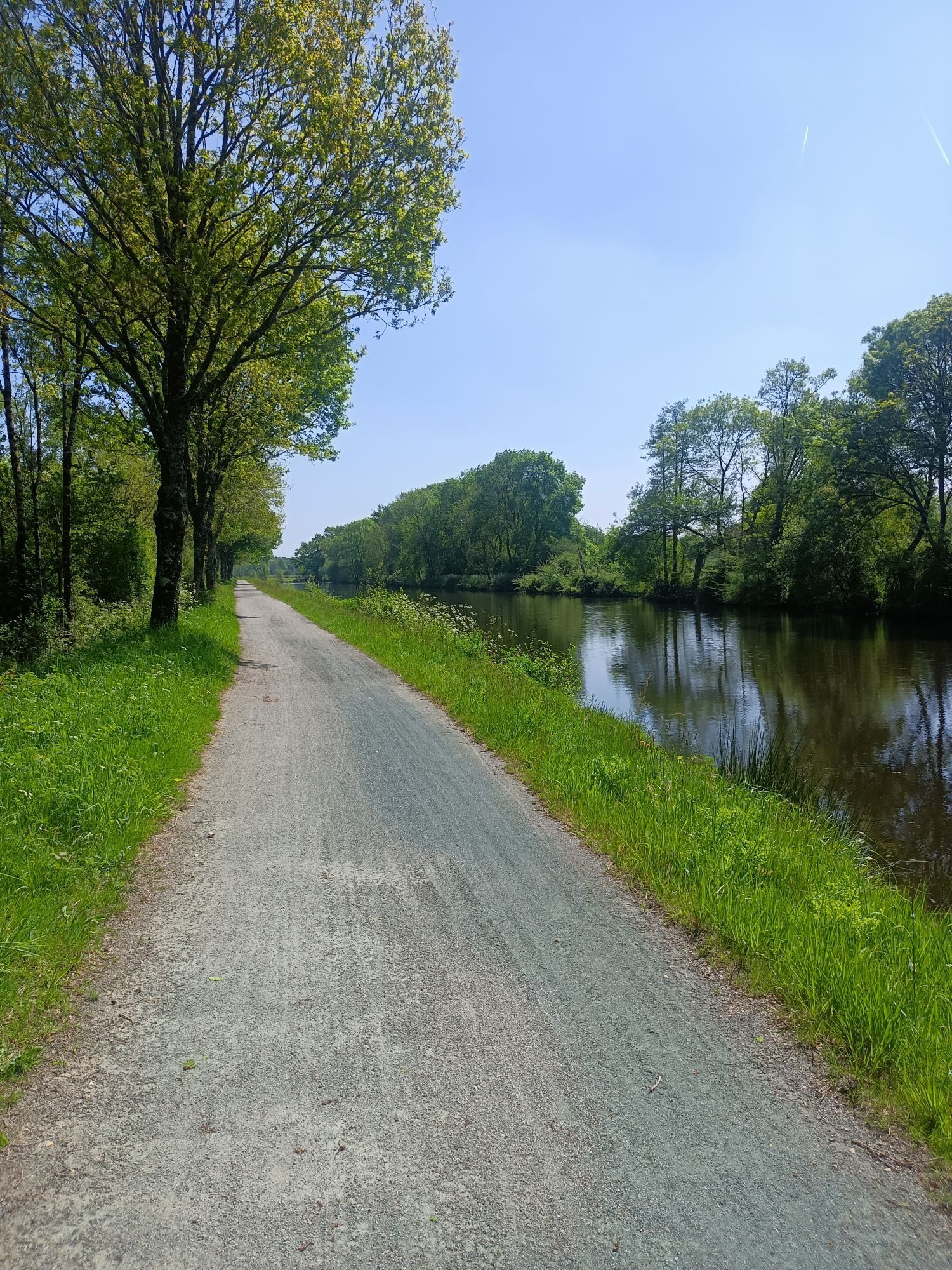
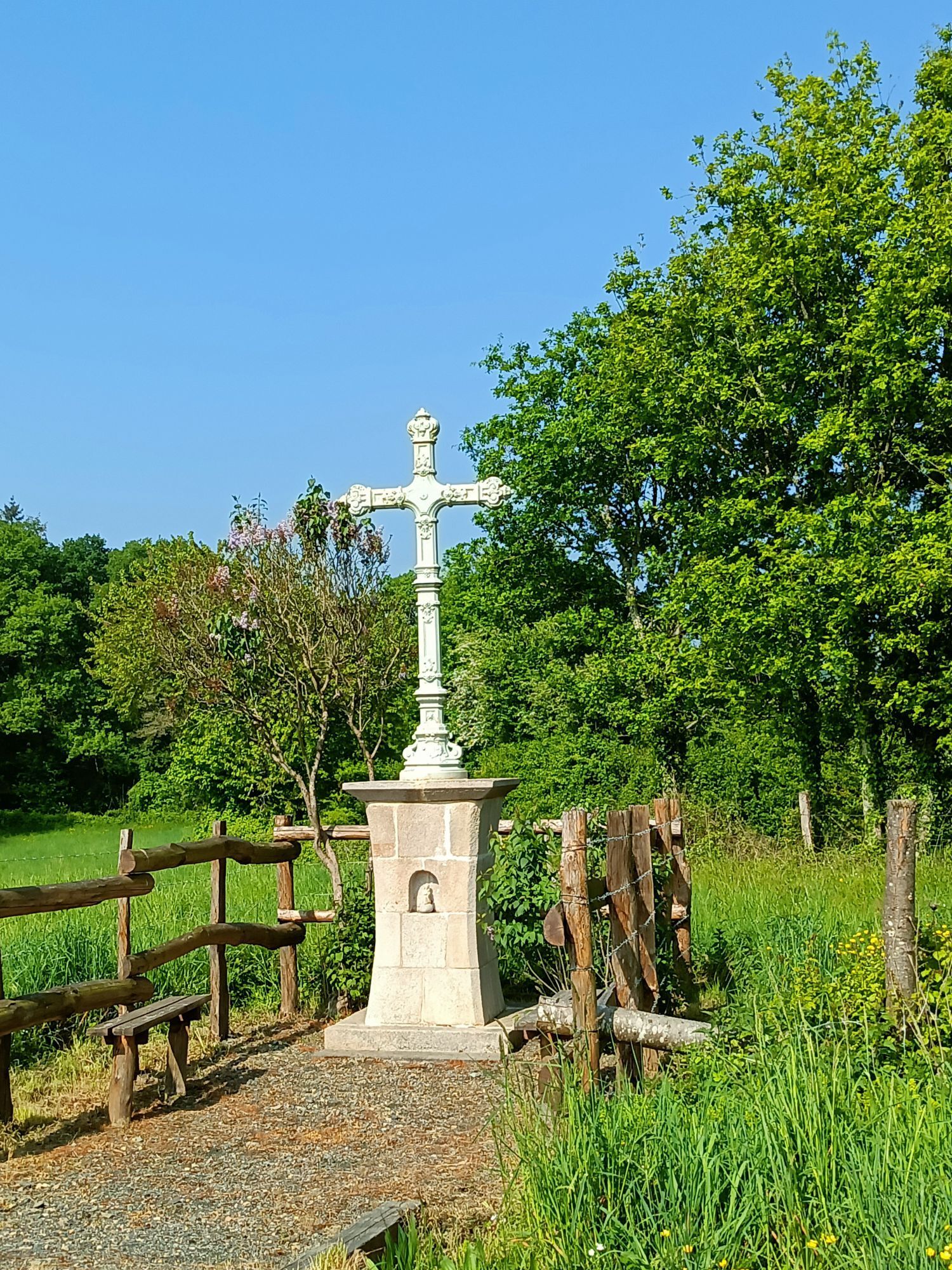
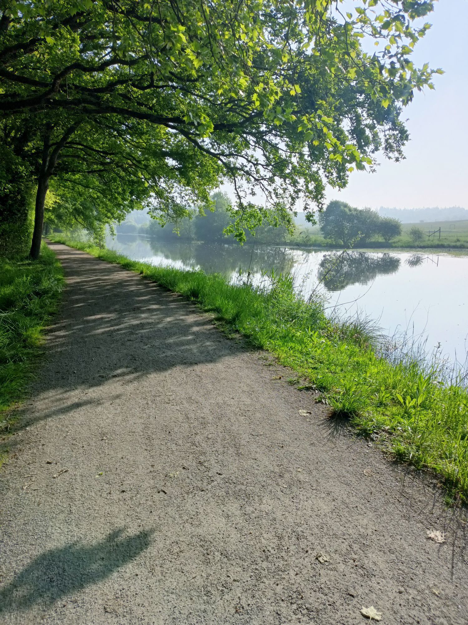
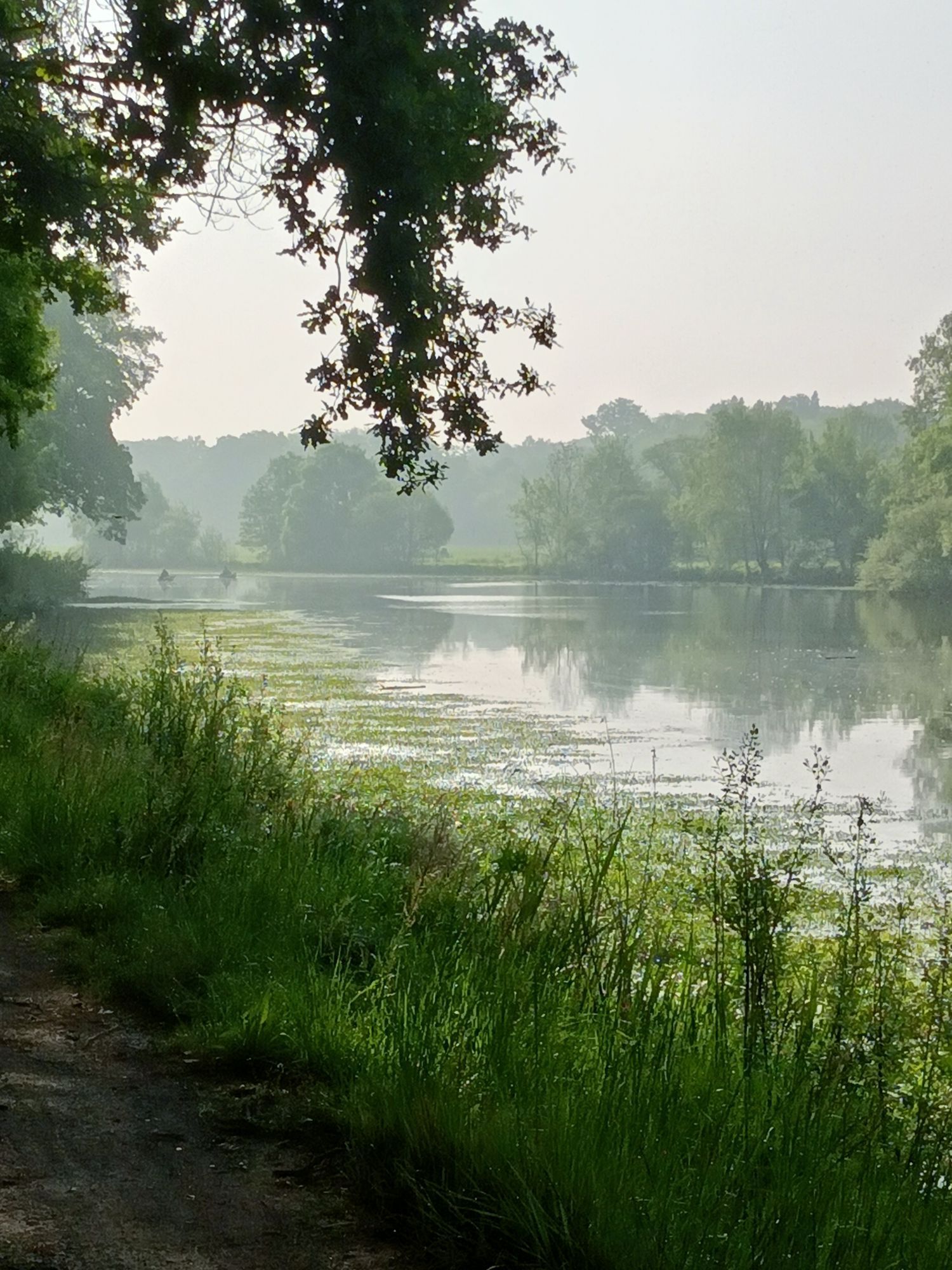
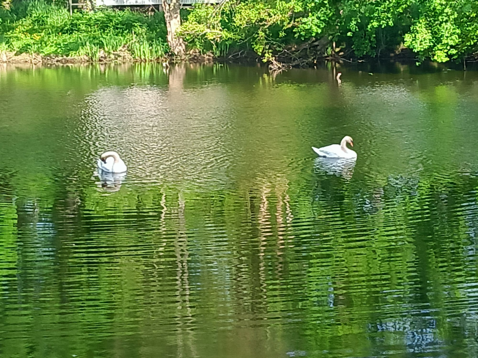
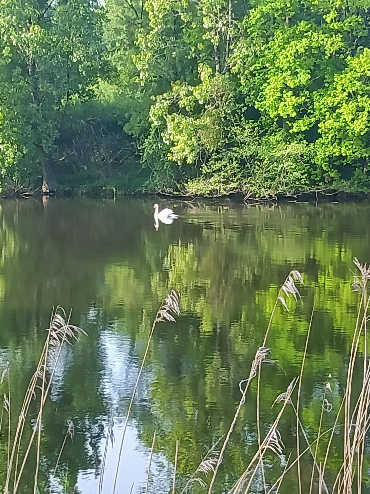
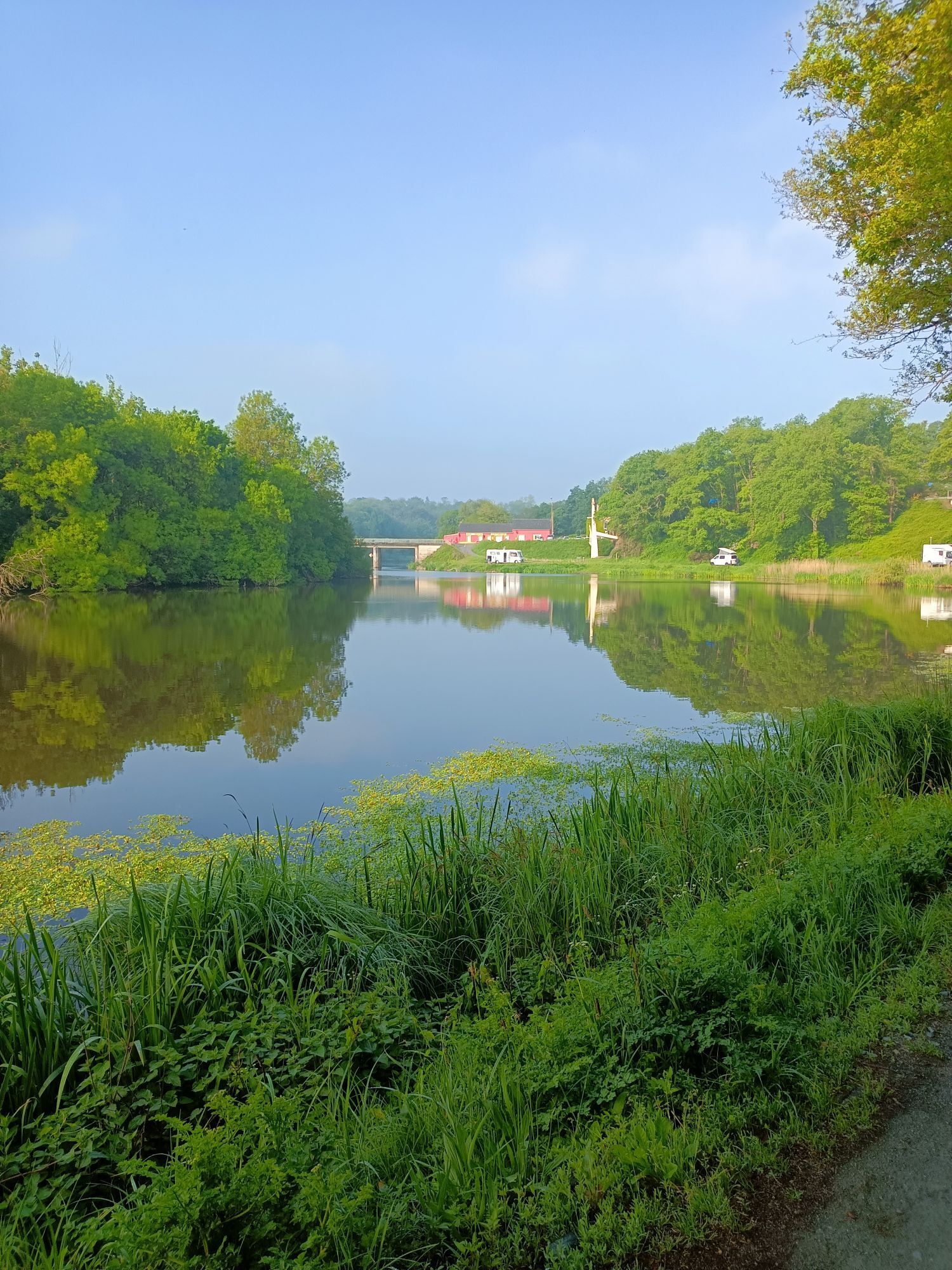
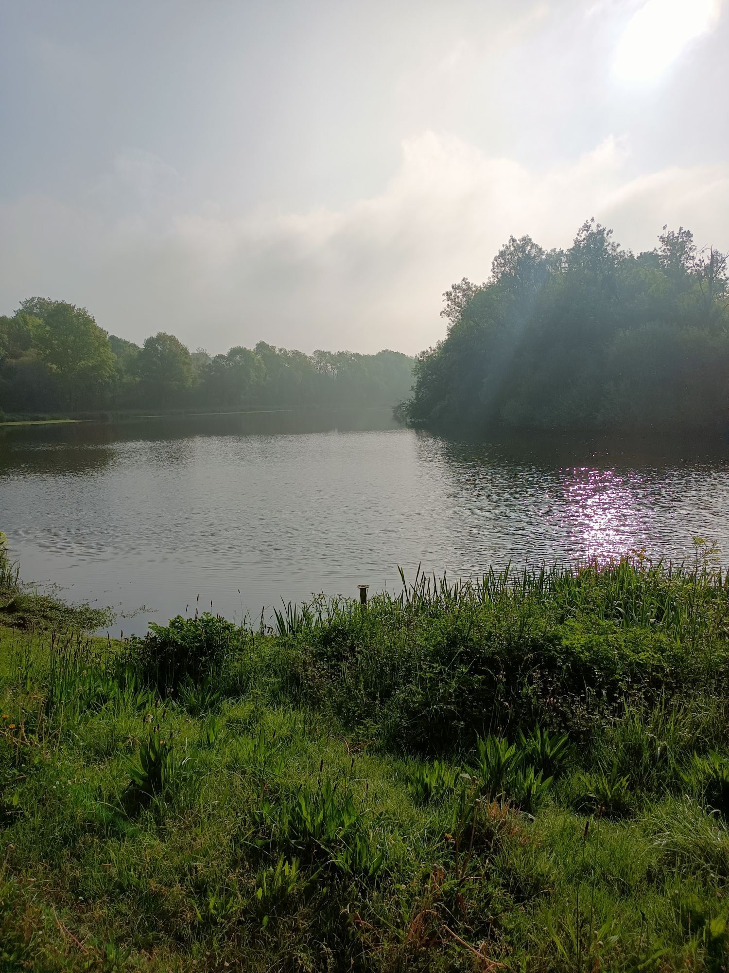
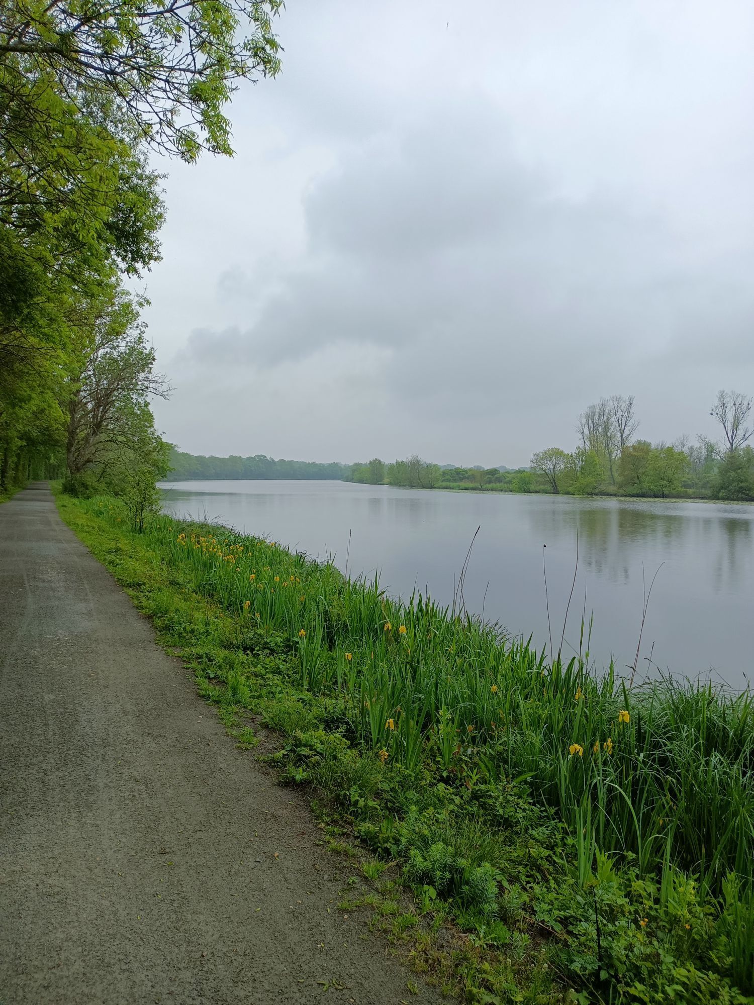
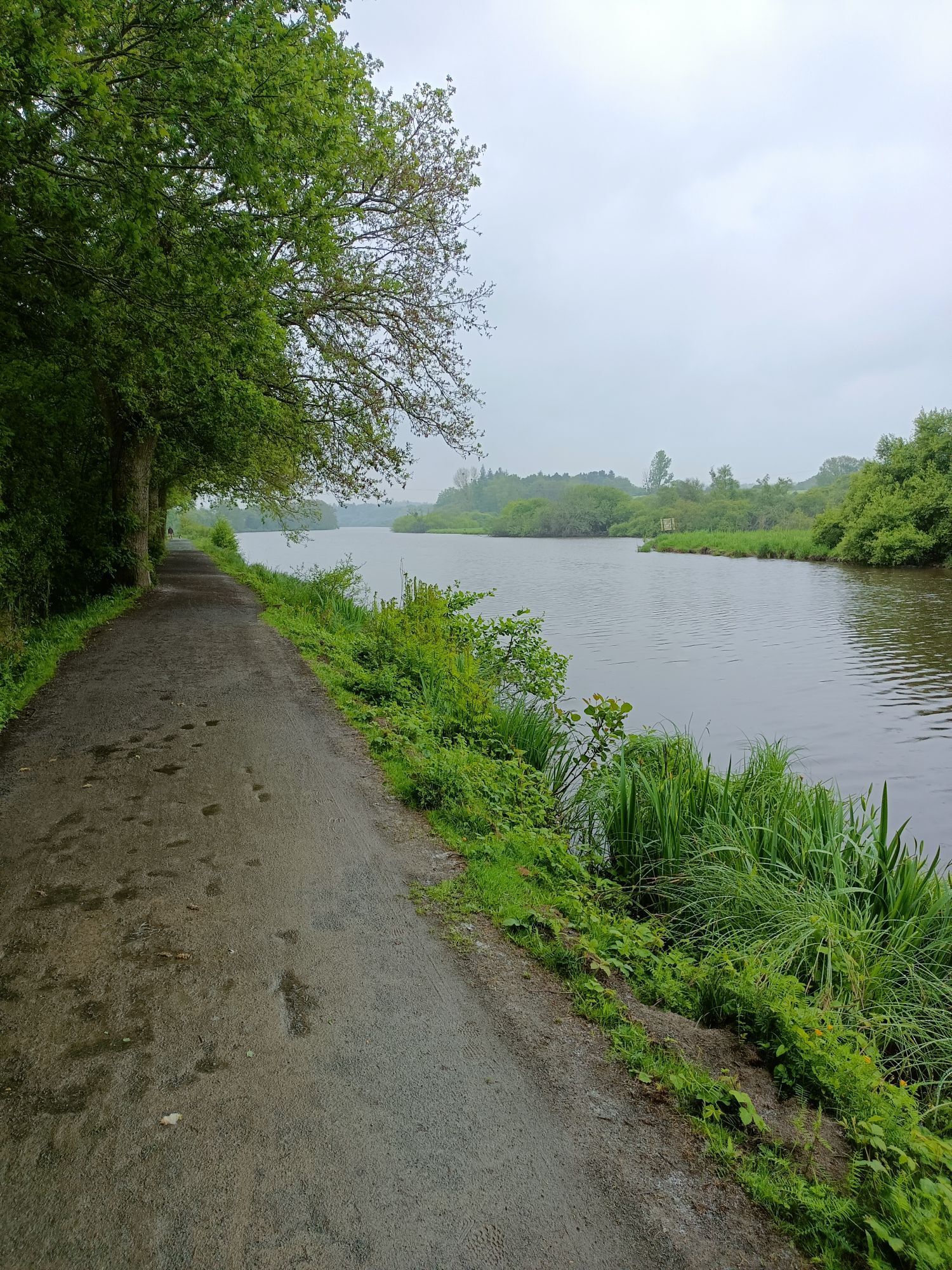
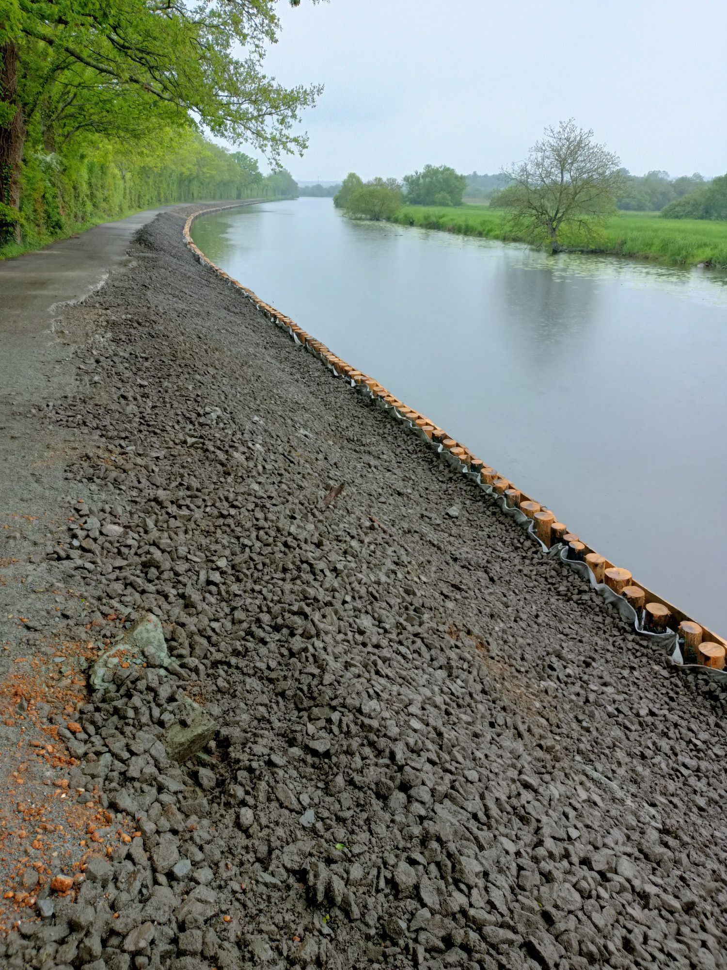
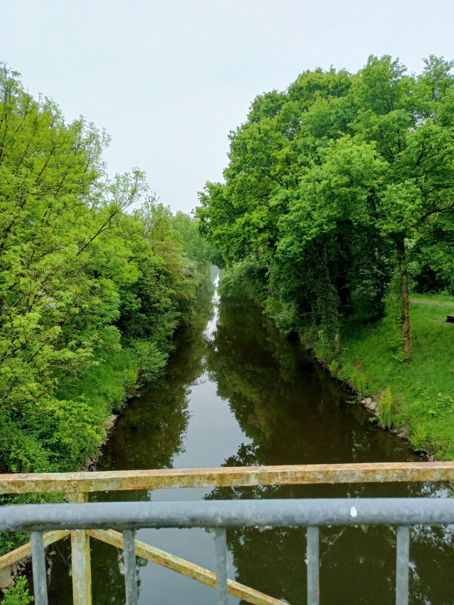
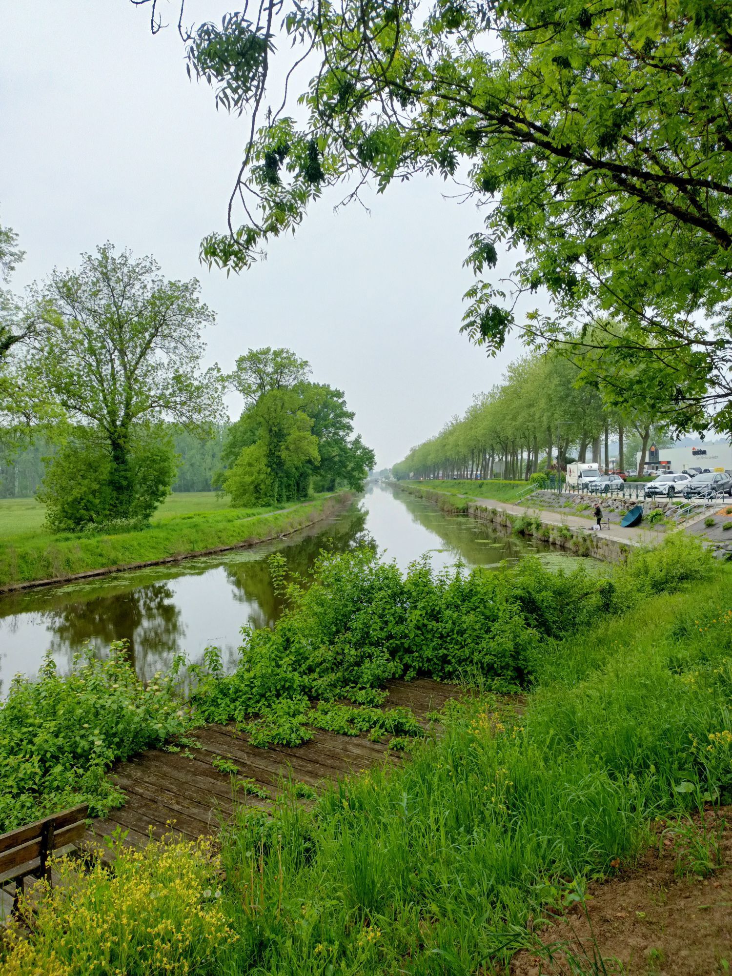
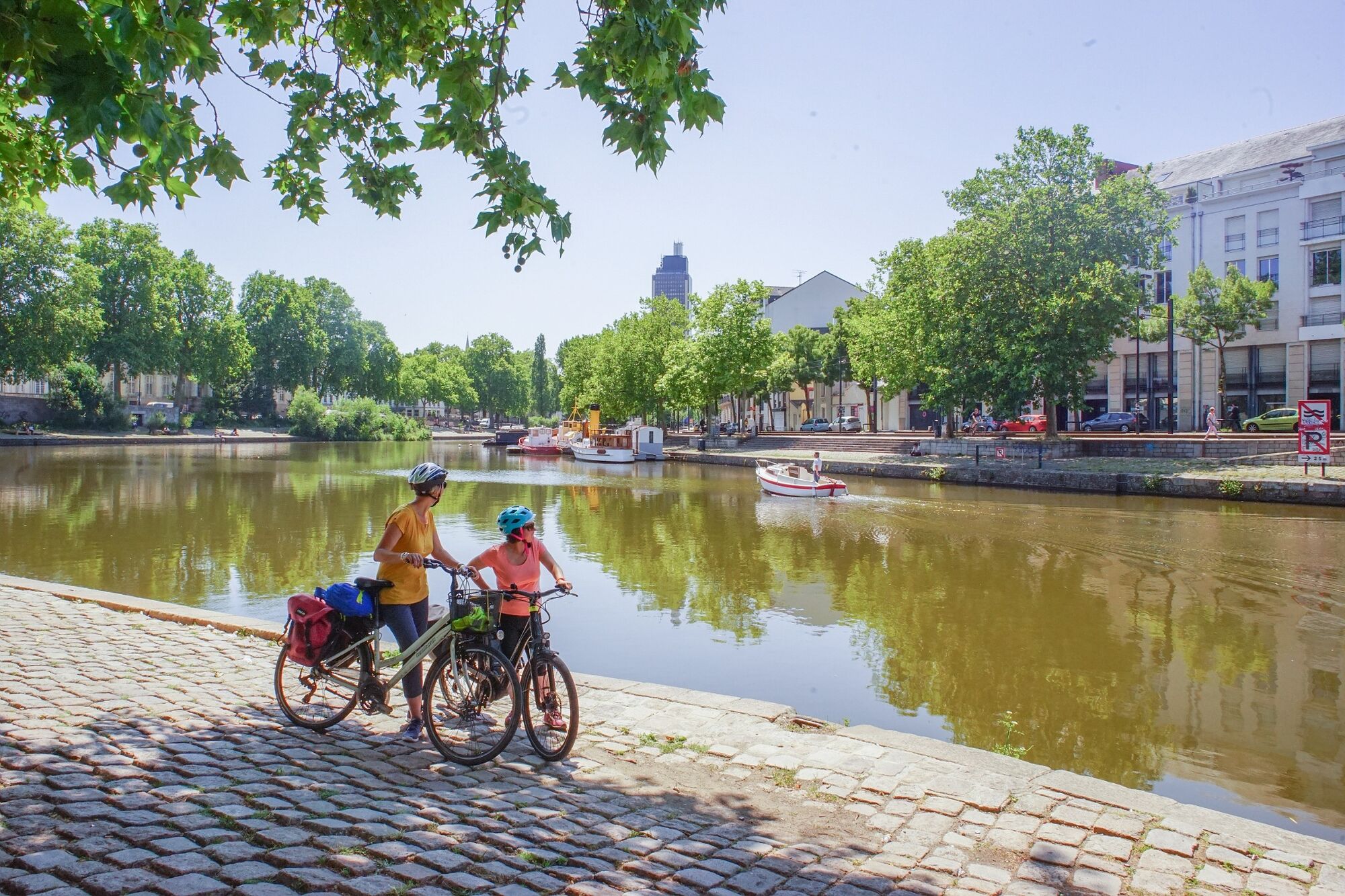
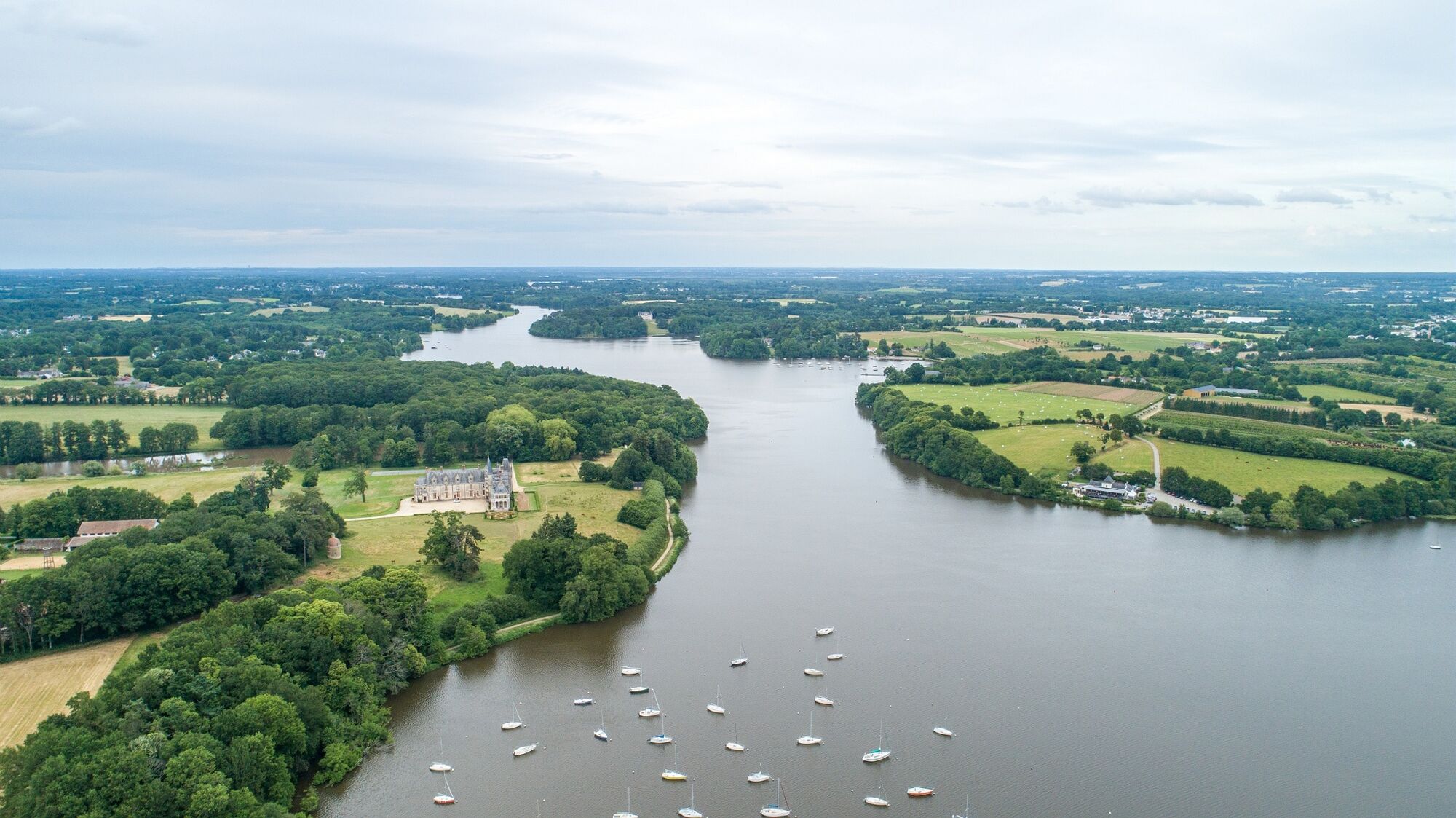
From Nantes station, take the TER and start your journey in Brittany at Redon, then head for the Pays de la Loire region. Enjoy the port of Redon, the historic circuit and the local market on Friday and Saturday mornings. Continue on to Fégréac and climb the Nicolas-Pollisky belvedere for a 360° view. Cycle back to Blain and discover the Château de la Groulais and the Ermine Trail, which leads to sculptures in the town. As you continue along the canal, you'll see a pastoral, peaceful, wooded landscape with many yachtsmen, fishermen and walkers. Escape to the Forêt du Gâvre, famous for its mushroom and chestnut picking. Head to the Tindière lock-keeper's house for a gourmet break before joining the Erdre Valley, described by François 1er as "the most beautiful river in France". Finish your journey in Nantes and take time to discover the old town, the green line of the Voyage à Nantes, the Jardin des Plantes, the Château des Ducs de Bretagne...


The Vélodyssée
Leave with a bike that's in good condition and well equipped.
Find all the advice you need to prepare your trip well on the La Vélodyssée website:
www.lavelodyssee.com/inspirations/comment-bien-preparer-son-premier-voyage-a-velo
Find all the information on safety rules and equipping your bike on the Sécurité Routière website:
Fire brigade: 112 from a mobile or 18 from a landline
Gendarmerie: 17
Samu: 15
By train:
Nantes TGV and TER trains
The TER Pays de la Loire network:
www.ter.sncf.com/pays-de-la-loire/services-contacts/ter-velo
TER Bretagne network:
www.ter.sncf.com/bretagne/services-contacts/solutions-ter-velo
How to access the itinerary by Train, by car, by coach... :
If you are coming by car: www.lavelodyssee.com/pratique/organisation/transport/voiture
Nantes: www.levoyageanantes.fr/a-faire/activites/velo
Contact the Tourist Offices in the towns, who will be able to advise you
Think about coming by train and renting your bike on site.
www.lavelodyssee.com/pratique/organisation/one-way
Think of the Accueil Vélo network for your accommodation, there are many along the route:
www.lavelodyssee.com/la-marque-accueil-velo
Nantes by bike, all the practical information:
www.levoyageanantes.fr/a-faire/activites/velo
To organise your trip and stages, visit the La Vélodyssée website:www.lavelodyssee.com
This route can be completed in 2 to 3 days for beginners, with the family, as a couple or with friends.
Find the stages on the website
www.lavelodyssee.com/

Popularne wycieczki w okolicy
-
Grandchamp-des-Fontaines - Le Brossais - Le Davier - Le Bois Guillard
średniMountainbike 53,8 km -
La Table Des... - Église Notre-Dame-de-Bonne-Nouvelle - Église Saint-Pierre et Saint-Paul - Les Grands Bouhours
średniDroga rowerowa 44,1 km -
Blain - Cohignac - Les Bas Mortiers - Le Terrier
średniMountainbike 39,1 km -
Notre-Dame-des-Landes - Église Sainte-Catherine - Église de l'Immaculée-Conception - Église Saint-Jean-Baptiste
średniDroga rowerowa 52,2 km -
Auberge la Croix Blanche - Le N°2 - Église Notre-Dame du Gâvre - Le Gâvre
średniMountainbike 31,3 km -
Église Sainte-Catherine - Église de l'Immaculée-Conception - Église Saint-Étienne - Malville
średniDroga rowerowa 51,6 km -
La Chevallerais - La Minoterie - Le Moulin de Bois Rivaud - L'Écobut
średniRower szutrowy 25,5 km -
L'Auberge de la Forêt - Restaurant L'Atelier M - Église Saint-Laurent - La Maillardais
średniRower szutrowy 48,4 km -
Savenay - La Bannerie - Pré Petit Sant-Martin - Église Saint-Martin
średniRower szutrowy 64,2 km -
Guenrouet - Les Fourneaux - Blain - Église Saint-Laurent
średniMountainbike 45,0 km
Wędrówki i tropienie


Nie przegap ofert i inspiracji na następne wakacje
Twój adres e-mail została dodana do listy mailingowej.





