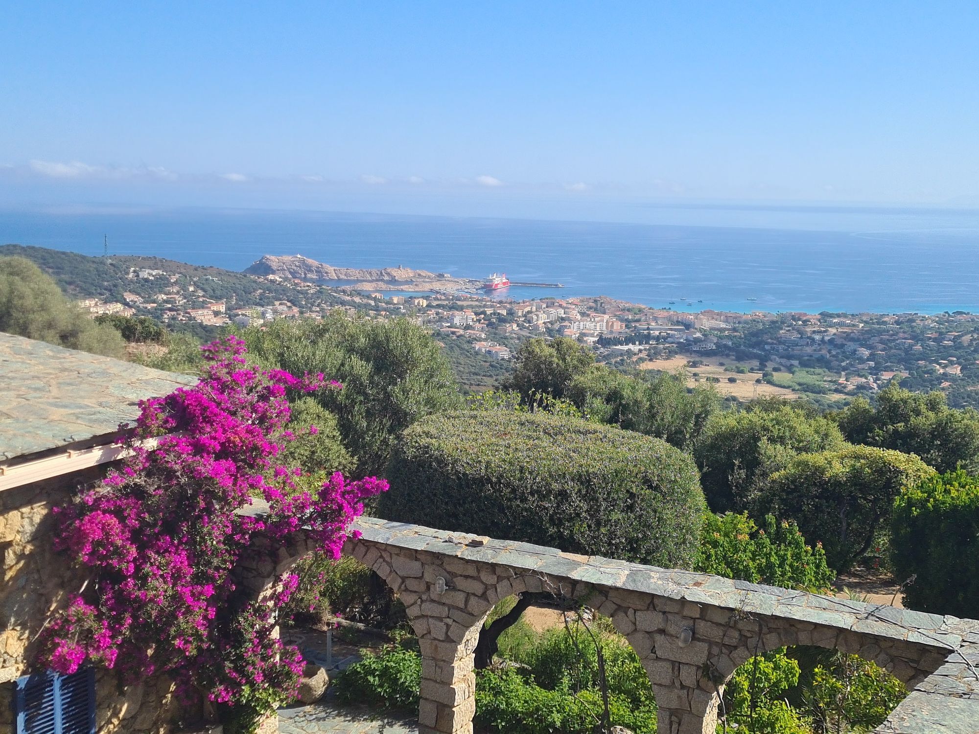
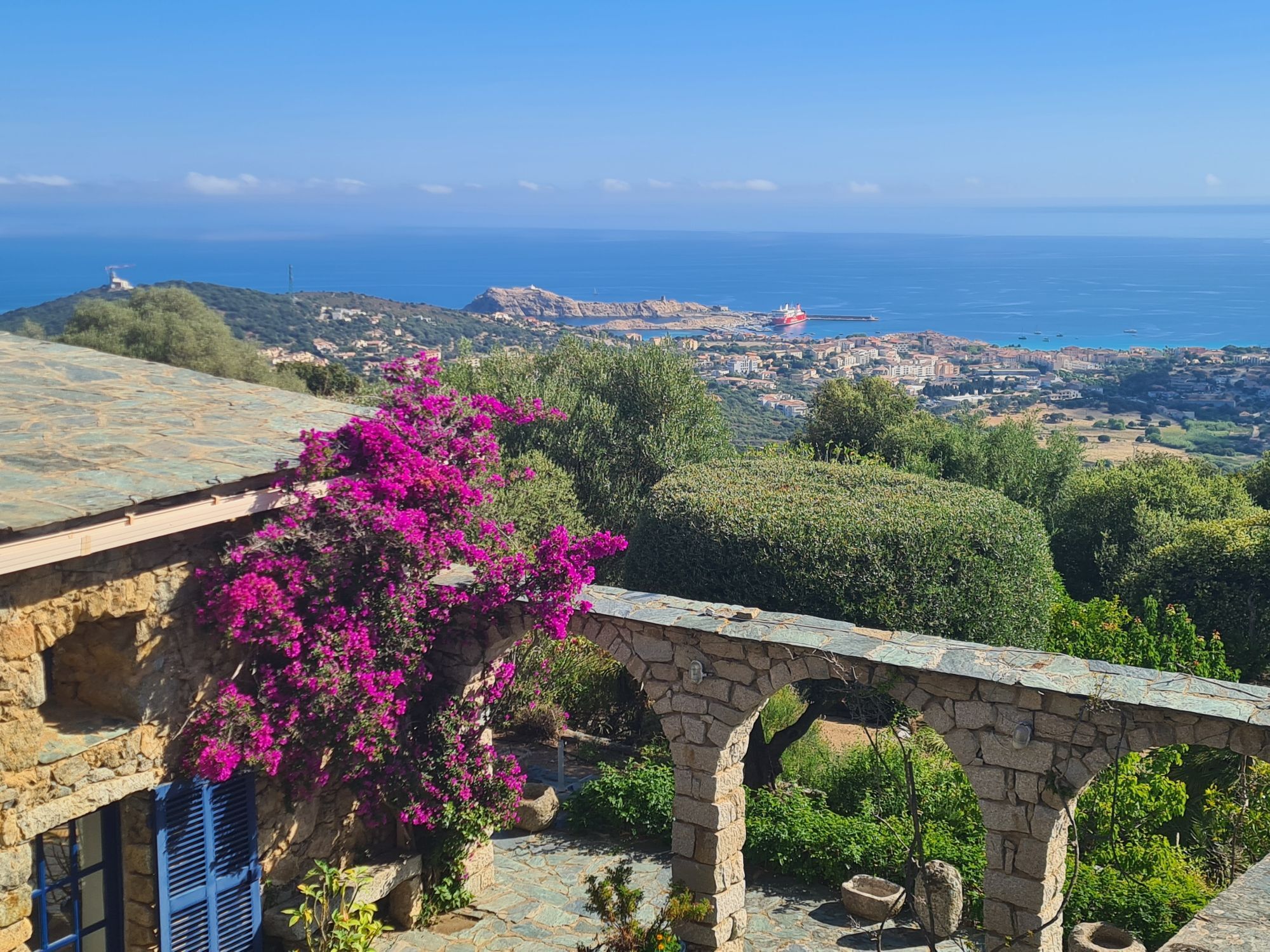
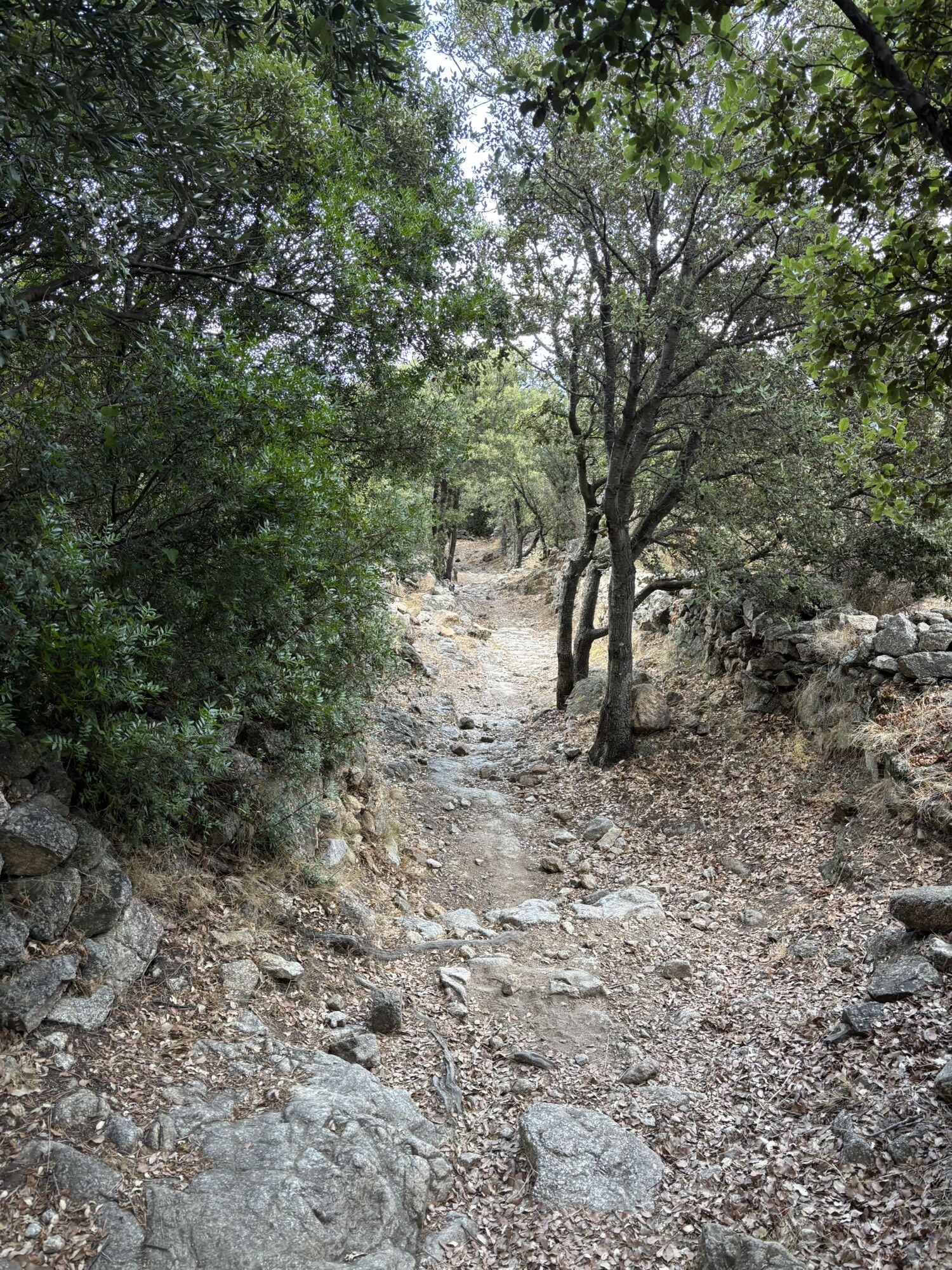
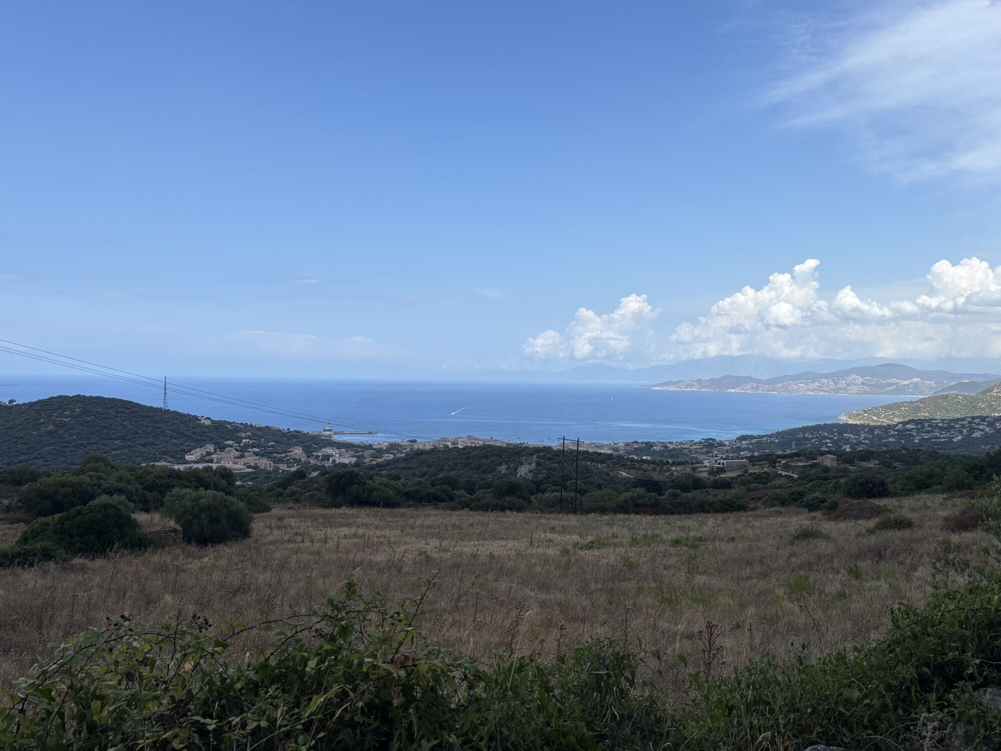
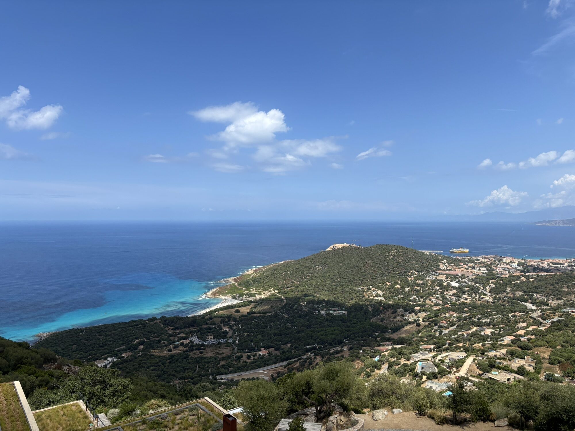
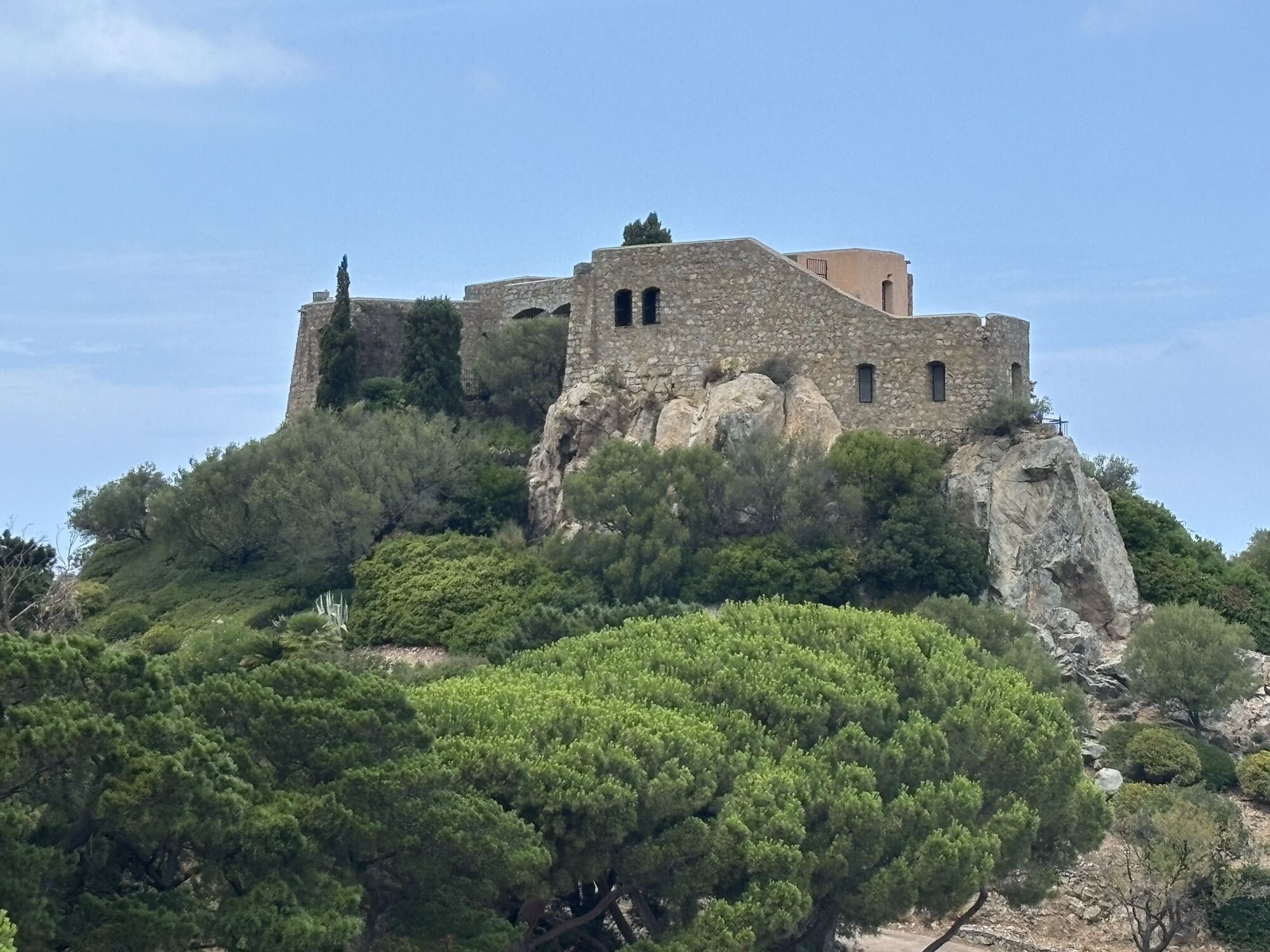
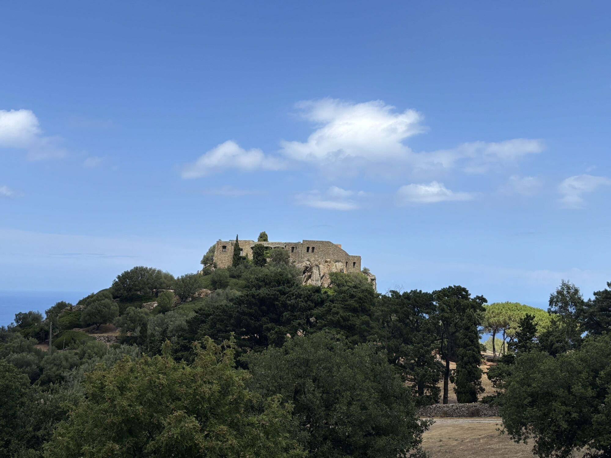
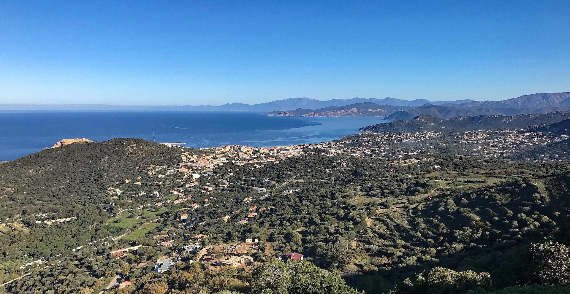
Hike 4: Tour of the Cima Sant'Anghjulu
ciężki
Pobierz tę trasę na swój telefon komórkowy
Hike 4: Tour of the Cima Sant'Anghjulu
ciężki
Wędrówka
8,76
km
Zeskanuj kod QR i rozpocznij nawigację w aplikacji bergfex.

Wędrówki i tropienie


Hike 4: Tour of the Cima Sant'Anghjulu
ciężki
Odległość
8,76
km
Czas trwania
04:00
h
Ascent
364
hm
Poziom morza
141 -
417
m
Ścieżka do pobrania
Hike 4: Tour of the Cima Sant'Anghjulu
ciężki
Wędrówka
8,76
km
Trasa
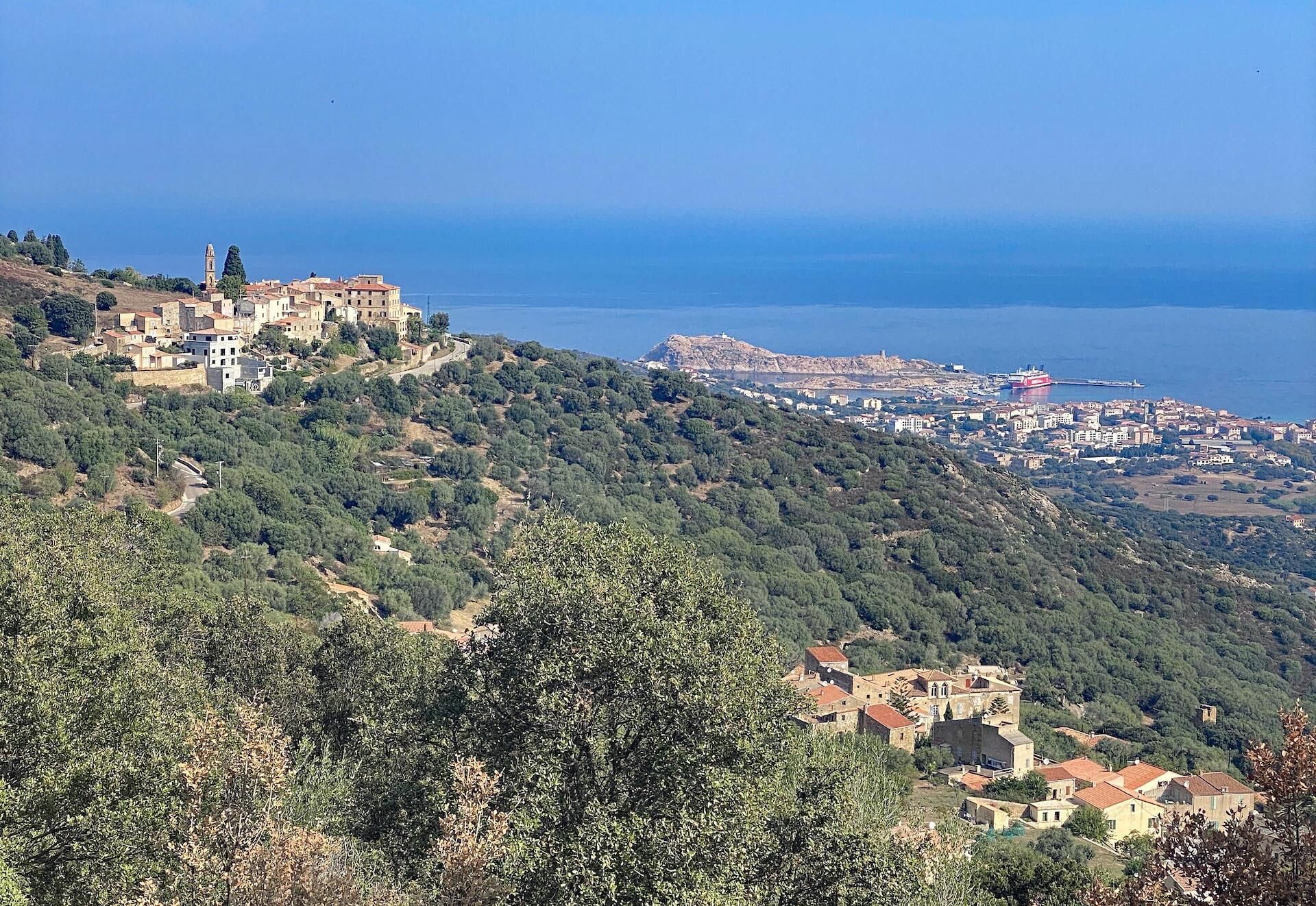
Villa Sottana
(230 m)
Sąsiedztwo
0,0 km
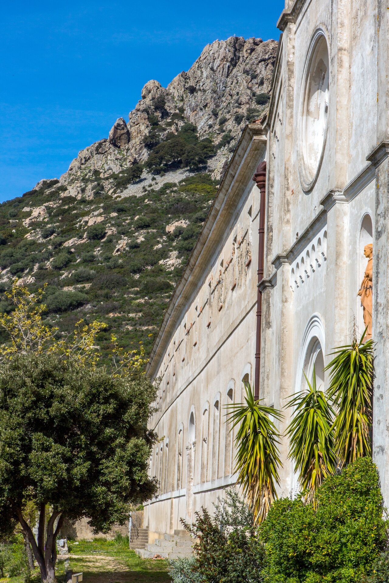
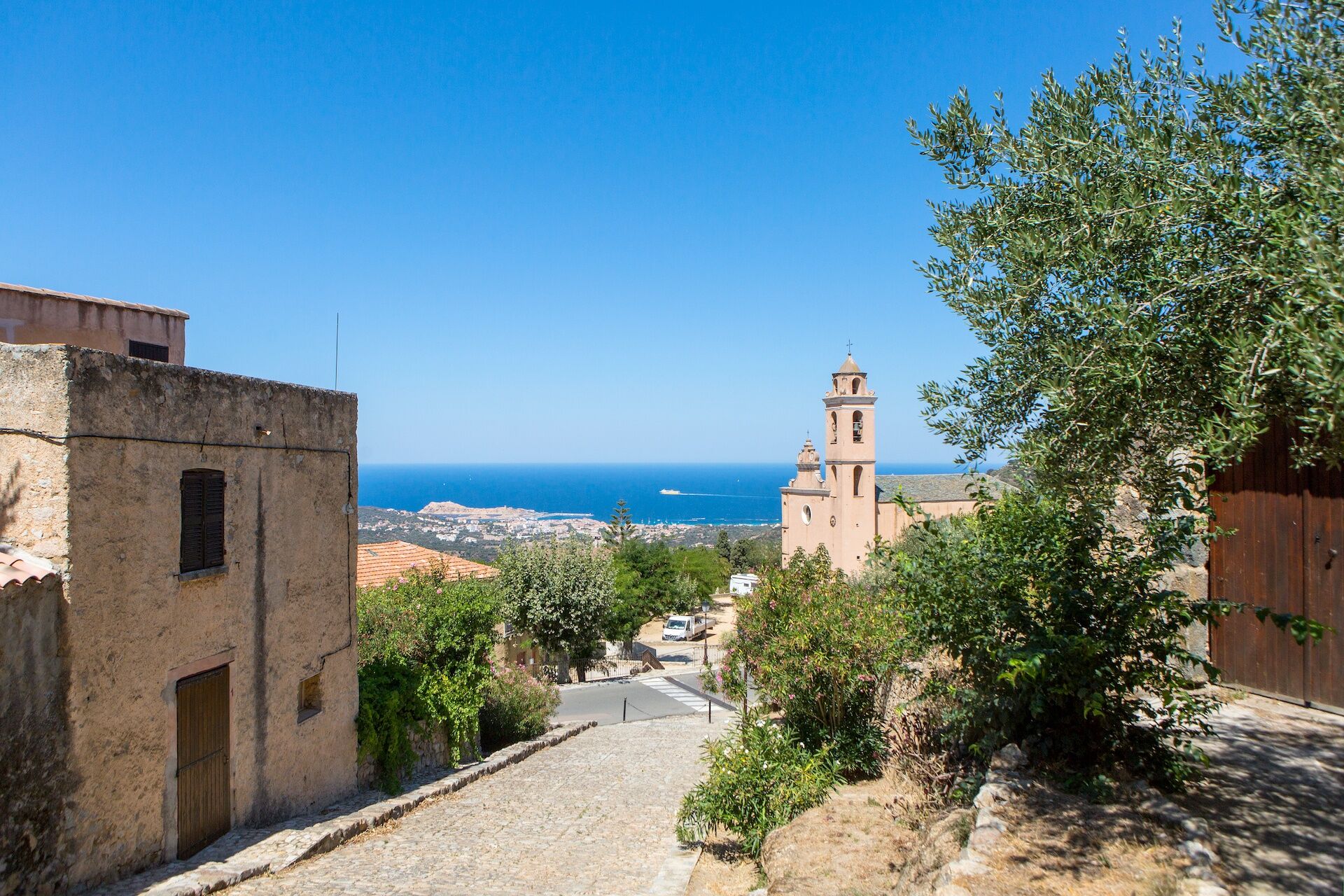
Église de l'Annonciation
(269 m)
Miejsce kultu
0,0 km
Église San-Rocco
(281 m)
Miejsce kultu
2,9 km
Chapelle de la Nativité
(263 m)
Miejsce kultu
5,8 km
Église de l'Annonciation
(269 m)
Miejsce kultu
8,7 km
Trasa
Hike 4: Tour of the Cima Sant'Anghjulu
ciężki
Wędrówka
8,76
km
Cunfraternita Sant'Antone Abbate
(269 m)
Miejsce kultu
0,0 km
Villa di Mezzo
(243 m)
Sąsiedztwo
0,0 km
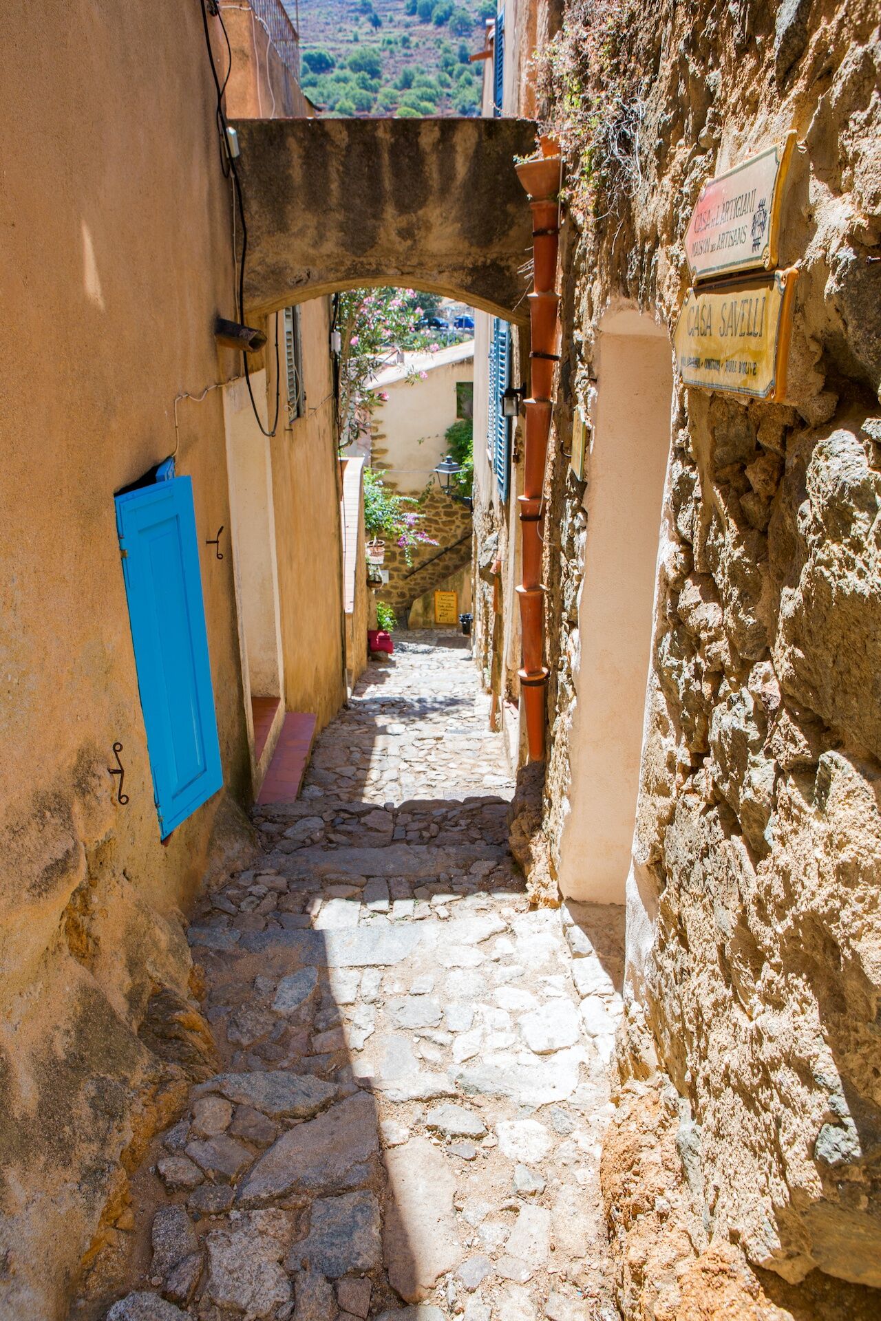
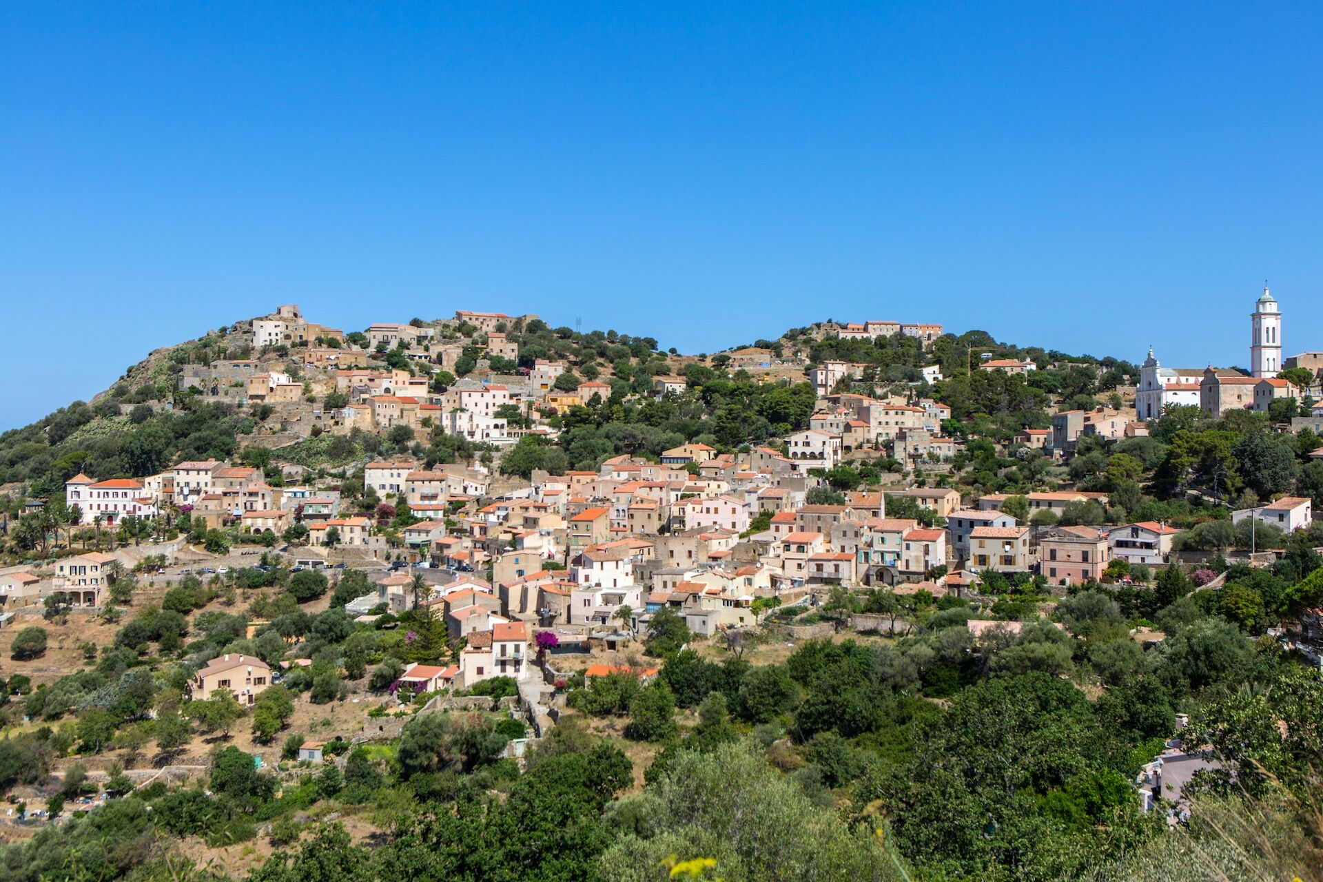
Corbara
(234 m)
Wioska
0,0 km
Villa Sottana
(230 m)
Sąsiedztwo
0,0 km
Église de l'Annonciation
(269 m)
Miejsce kultu
0,0 km
Casavecchielle
(263 m)
Sąsiedztwo
0,0 km
Guido
(306 m)
Rozliczenie
0,2 km
Pietralba
(306 m)
Sąsiedztwo
0,2 km
Occiglioni
(279 m)
Wioska
2,9 km
Église San-Rocco
(281 m)
Miejsce kultu
2,9 km
Alzia
(318 m)
Sąsiedztwo
4,2 km
Santa-Reparata-di-Balagna
(267 m)
Wioska
4,2 km
Chapelle de la Nativité
(263 m)
Miejsce kultu
5,8 km
Pigna
(219 m)
Wioska
6,5 km
Villa Sottana
(230 m)
Sąsiedztwo
8,2 km
Corbara
(234 m)
Wioska
8,3 km
Villa di Mezzo
(243 m)
Sąsiedztwo
8,4 km
Salicastri
(247 m)
Sąsiedztwo
8,5 km
Cunfraternita Sant'Antone Abbate
(269 m)
Miejsce kultu
8,7 km
Église de l'Annonciation
(269 m)
Miejsce kultu
8,7 km
Pietralba
(306 m)
Sąsiedztwo
8,7 km
Casavecchielle
(263 m)
Sąsiedztwo
8,7 km
Autor
Dostarczone przez Lisula
Wycieczkę Hike 4: Tour of the Cima Sant'Anghjulu zapewnia outdooractive.com.


Informacje o trasie
Najważniejsze informacje geologiczne
Tak
Sprzęt
Clothing suited to the season and conditions (cold, hot, humid…)
Hiking boots adapted to the terrain (even for children!)
Hiking poles (useful for stability and to relieve joints)
Mobile phone and spare battery
Instrukcje bezpieczeństwa
Before leaving:
Check general and local weather, ensuring there is no precipitation Get information on the approach walk, itinerary height, duration, possible escape routes (IGN map, GPS, guidebook, etc…) Assess possible risks by consulting mountain professionals, shelters, lodgings Inform a close person about your goal and contact them in case of changes: departure and return times, number of participants with each telephone number, vehicle(s), parking Avoid setting off alone, use equipment suitable for the activity, adjusted and in good condition, headlamp, complete first aid kit, survival blanket, etc…In case of trouble
Alert: call 112 (European emergency number)
5 key points to transmit your alert:
Where? community, place, itinerary, altitude Who? identity, telephone number What? type of accident, number of victims, severity, fall dynamics When? time of the accident Weather? wind, visibilityInformacje o przyjeździe
Przybycie
Consider carpooling
Parking
Parking close to the starting point
Dodatkowe informacje i wskazówki
Dodatkowe informacje
APIDAE Tourism data updated on 01/17/2022 by "Office de Tourisme Intercommunal de L'Ile Rousse-Balagne".
An error on this sheet? Write to the owner by referring to these details:
Sheet name: Rando 4: Tour de la Cima Sant'Anghjulu | Sheet ID: 5109277 | URL (link) of this Outdooractive page.
An error on this sheet? Write to the owner by referring to these details:
Sheet name: Rando 4: Tour de la Cima Sant'Anghjulu | Sheet ID: 5109277 | URL (link) of this Outdooractive page.
Wyceny
Popularne wycieczki w okolicy
- 4,0
Hike 6: Giru L'Île-Rousse - Sta Reparata - Monticello
średniWędrówka 12,0 km - 3,0
Hike 7: Loop around the Codole dam
światłoWędrówka 11,4 km - 5,0
Rando 31: Saleccia loop
światłoWędrówka 11,2 km - 3,0
Hike 1: Corbara - Pigna - Varcale
światłoWędrówka 10,1 km - 5,0
Rando 42: Algajola loop
światłoWędrówka 7,16 km KORSIKA Pocca di Col de Batagglia 20190914
światłoWędrówka 3,15 km- 5,0
Trail 16: Giru di a punta Liatoghja (L'Agriate)
światłoTrailrunning 14,8 km FFC 12 mountain bike loop - Codole
ciężkiMountainbike 24,8 kmHike 9: Fiuminale Cala d'Alivu
światłoWędrówka 7,37 km- 5,0
Hike 38 : Giru di a cima Tornaghja
światłoWędrówka 8,58 km
Wędrówki i tropienie

Ponad 550.000 propozycji wycieczek, szczegółowe mapy i intuicyjny planer tras sprawiają, że aplikacja jest niezbędna dla wszystkich entuzjastów przyrody.

Nie przegap ofert i inspiracji na następne wakacje
Zapisz się do newslettera
Błąd
Wystąpił błąd. Spróbuj ponownie.Dziękujemy za rejestrację
Twój adres e-mail została dodana do listy mailingowej.
Wycieczki po całej Europie
Austria Szwajcaria Niemcy Włochy Słowenię Francja Holandia Belgia Polska Liechtenstein Czechy Słowacja Hiszpania Chorwacja Bośnia i Hercegowina Luksemburg Andorra Portugalia Islandia Wielka Brytania Irlandia Grecja Albania Macedonia Północna Malta Norwegia Czarnogóra Mołdawia Kosowo Węgry San Marino Rumunia Estonia Łotwa Białoruś Cypr Litwa Serbia Bułgaria Monako Dania Szwecja Finlandia