


Himos-Jämsä recreational cycling route
Poziom trudności: 2


The Jämsä-Himos cycling route is a 36-kilometer circular route in the heart of Central Finland. The route is diverse in terrain and scenery, with plenty to experience even for a whole day. It is recommended...
The Jämsä-Himos cycling route is a 36-kilometer circular route in the heart of Central Finland. The route is diverse in terrain and scenery, with plenty to experience even for a whole day. It is recommended to reserve at least four hours for the trip, allowing time to explore the surroundings and eat snacks.
The best features of the route are the beautiful rolling fields, idyllic riverbank with rapids and boats, and the relaxed atmosphere of the town.
Along the route, you can take a dip in natural waters or an indoor swimming pool. Variety of services are available in Jämsänkoski, Jämsä, and Himos. You can start the route from any place you wish.
Explore the varied tourism offerings and cultural sites in the region: Jämsä tourism.

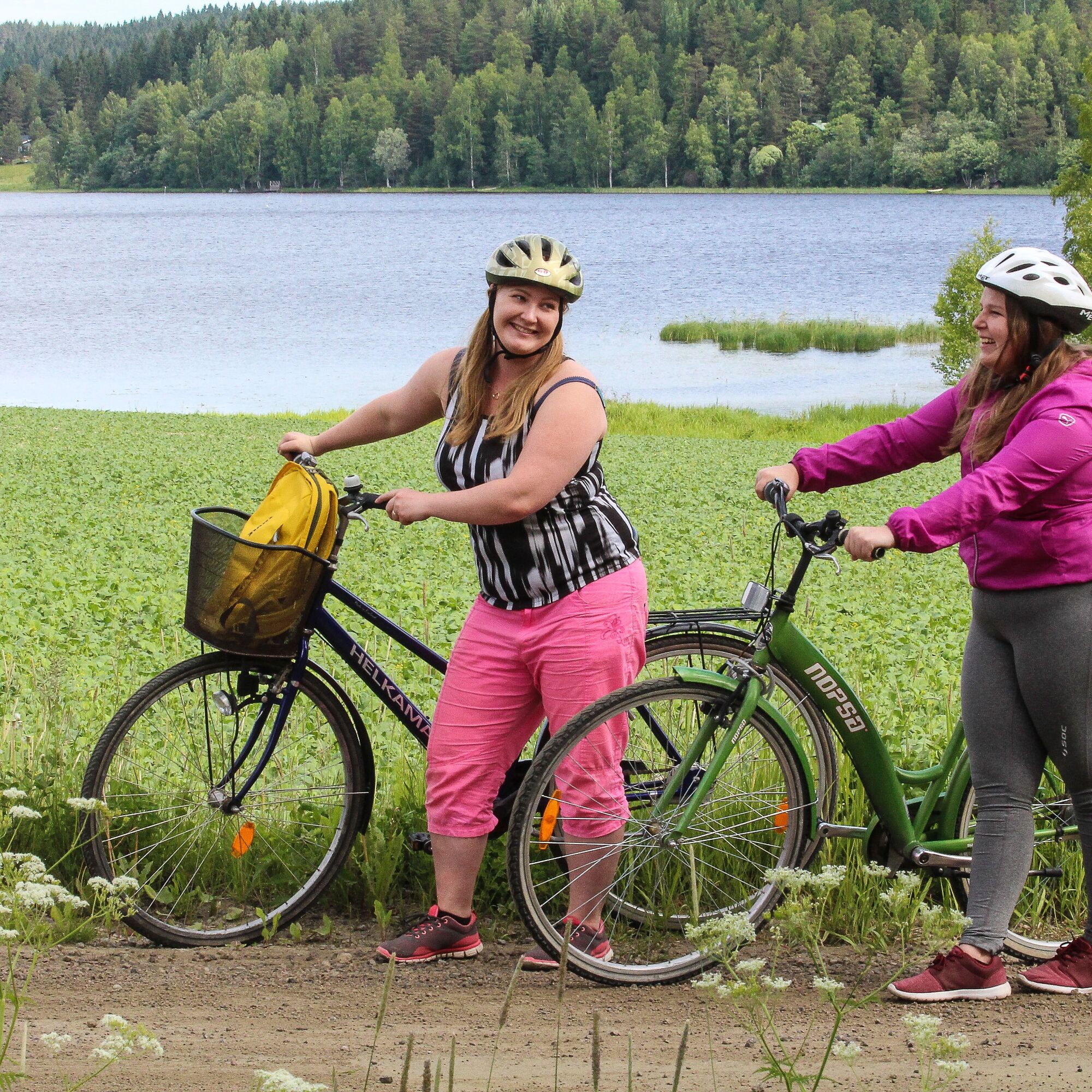
The distance from Himos to Jämsänkoski is about 20 km without services, so good snacks and enough water are necessary. However, the journey doesn’t get boring, as the beautiful Central Finnish countryside captivates and soothes the mind.
Himos - Road 9, 9.4 km
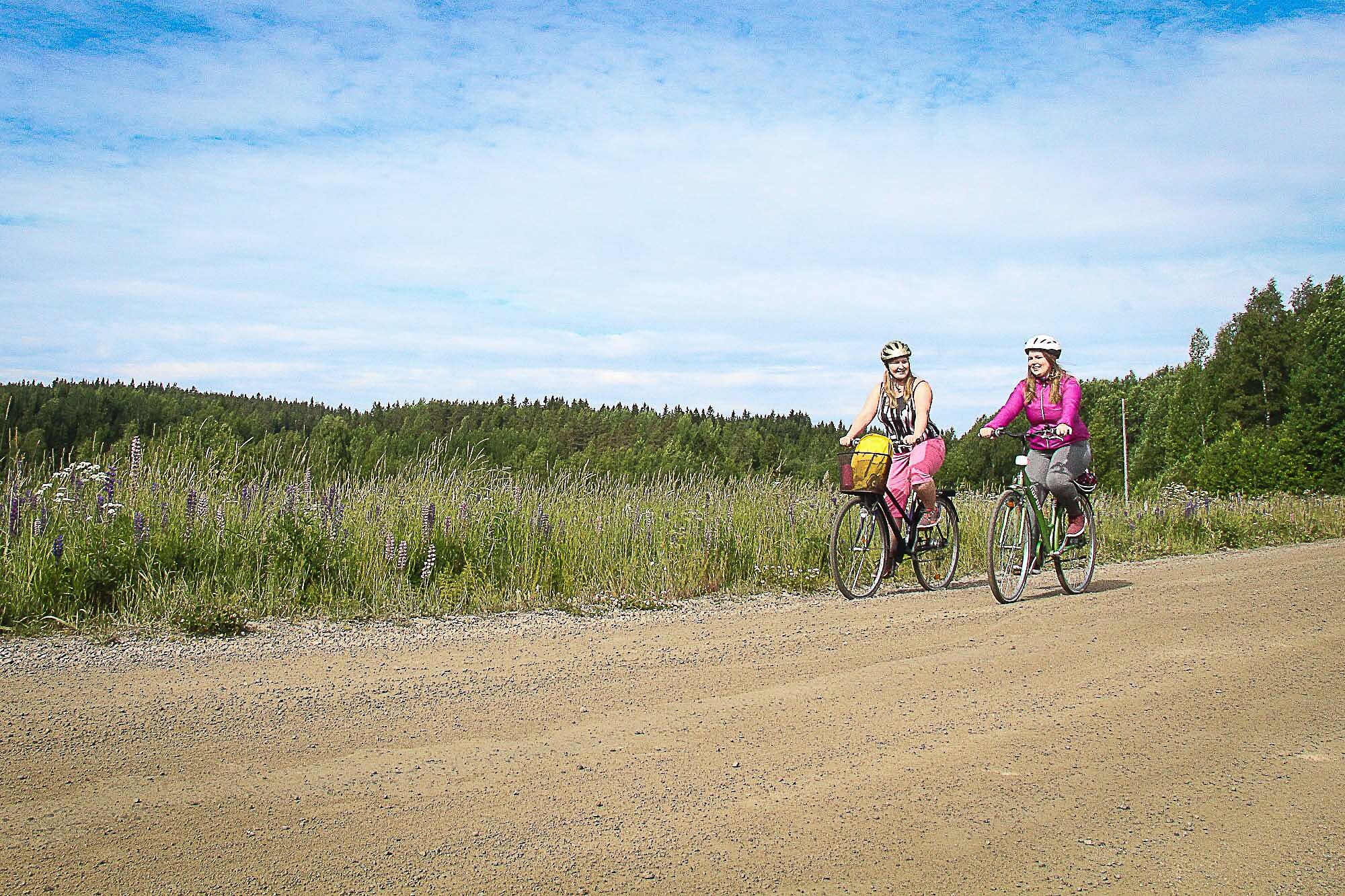
Starting from Himos, the first section follows the light traffic path along Patajoentie. The trip begins by lake views near the slopes of Himos. When the light traffic path ends, the route continues along the edge of an asphalt road until the road turns to Pataniemi. On the Pataniemi road section is the route’s first uphill, which can be easier to walk with the bike. Pataniemi road is a gravel road lined with beautiful countryside houses and forest. Just before Road 9, there is a sauna village under construction.
Road 9 - Jämsänkoski, 10.2 km
Immediately upon reaching Road 9, there is the Villansalmi rest area, which cyclists can also use. The bridge crossing on Road 9 is narrow, so caution is advised. The route follows Road 9 for half a kilometer. It should be noted that the road is busy. After crossing Road 9, the route continues along Niemenkyläntie for 2.5 km up to Paljakantie.
At the beginning of Paljakantie is the whole route’s most challenging uphill, testing even experienced cyclists with its length. It may be more comfortable to walk the bike up. After the hill, the cyclist is rewarded with a peaceful forest section, followed by farmland with animals and fields again. The terrain is pleasantly undulating all the way to Jämsänkoski. Travelers may optionally stop to enjoy lakeside views and the calm of the forest while eating snacks at Pykälä Lodge.
Jämsänkoski - Jämsä, 8.2 km
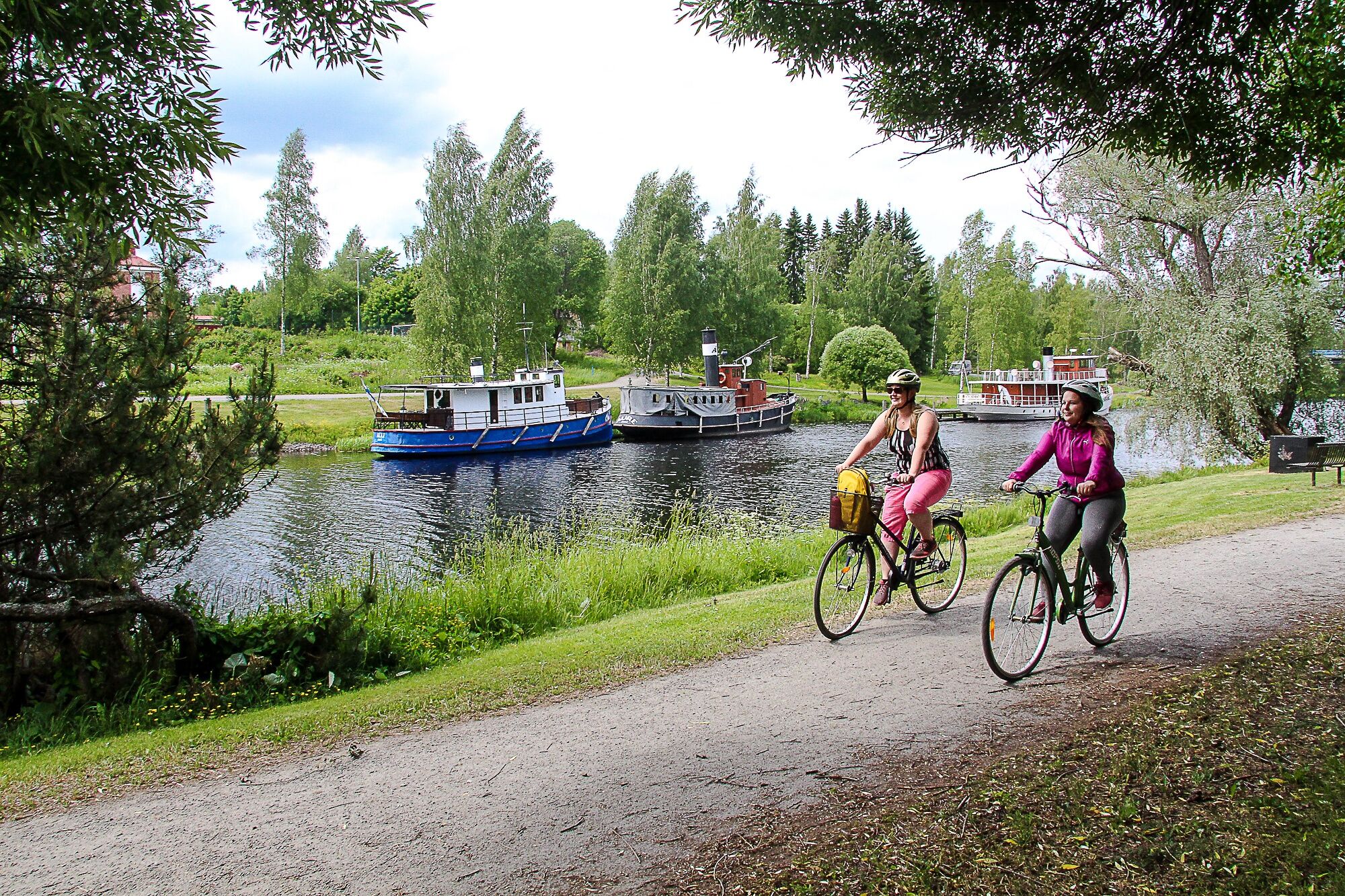
At the end of Paljakantie, a main road is crossed directly to Puistolantie. From Puistolantie, turn onto a walking path that shortcuts to the Oinaalantie intersection. At the end of Oinaalantie is a sports field and a swimming beach, which is worth circling along the shore. The route continues along the shore all the way to UPM-Kymmene paper mill.
Between Jämsänkoski and Jämsä, there are plenty of places to visit for an extended stay. Jämsänkoski town services are nearby for those wishing to detour for shopping. Along the beautiful riverbank, you can admire rapids, water bodies, swim at the beach or indoor swimming pool, and explore local services. During cycling, travelers can visit, for example, Aarresaari Local Heritage Museum, eat at the Old Mill of Jämsänkoski, or have coffee at Ilveslinna’s Old Storehouse. Near the historic Ilveslinna building, there is an impressive war memorial located in the middle of the rapids.
At the UPM factory site, the road is crossed and cycling continues on the left side of the road on a light traffic path.
Next to the path on the left side of Jämsäntie rises Finland’s northernmost castle hill, Linnasenvuori, an archaeological site. Along the Linnasenvuori trails are information boards about the area and its history, making it a good spot for a break.
Jämsä - Himos, 8.3 km
The light traffic path continues about five kilometers to Jämsä Church, where the road is crossed to Pärnämäentie. Jämsä Church and the church museum attract culture enthusiasts. From the end of Pärnämäentie, a walking and cycling path leads to the sports field, which is circled on the right side along the shore.
Jämsä town services are near the route. The town center has shops and restaurants. Along the riverbank, you can stop to admire riverboats and eat snacks. Interesting places to visit include Pälämäki Local Heritage Museum and Witikkala Manor. In addition to Hotel Hiisi Hill located along the route, several unique accommodation options serve visitors in Jämsä.
The park-like cycle path continues under Road 9 and follows the shore all the way to Ruotsulantie, from which you immediately turn onto Säyrylänntie towards Himos. Along Säyrylänntie, you can stop at Veli Ähtävä's Art Studio. From the high cycling path, you can see far across the fields, and the last stretch to Himos passes quickly.
Most of the route consists of gravel or dirt roads; the rest is asphalt. The route can be cycled with an ordinary city bike but is not suitable for very narrow tires.
Bicycles can be rented, for example, from HimosLomat.
The route mostly runs on quiet roads and light traffic paths. Note that the route follows the edge of Highway 9 for about half a kilometer, where extra caution is required, especially at the narrow bridge and when crossing the road, as the road is generally busy. Helmets must always be worn when cycling. Bring enough drinks and food!
Starting point at Himos Center: Länsi-Himoksentie 4, 42100 Jämsä.
GPS: 61.8831, 25.29027
Jämsä has good train connections from Tampere and Jyväskylä directions. You can take your bike on Intercity and night trains. VR train schedules
VR’s bike transportation instructions on trains
By bus, you can reach Jämsä and Himos well from different parts of Finland. There is a local bus connection from Jämsä town's Matkahuolto to Himos.
There are free parking spots in the Himos area.
2
A good starting point for the route is Himos Center, which places the part of the trip without services at the beginning. Other possible starting points are the settlements of Jämsä and Jämsänkoski. The route is recommended to cycle counterclockwise.
Jämsä tourism info provides additional information about the area’s services.
The route is recommended to start from Himos and cycle counterclockwise.

Wędrówki i tropienie


Nie przegap ofert i inspiracji na następne wakacje
Twój adres e-mail została dodana do listy mailingowej.