


Äänemäki mountain biking trails


The Äänemäki mountain biking trails wind through the Äänemäki area of Äänekoski and cover about 18 km. The trails run through peat forest and on easily accessible, dry ground. You can choose from three...
The Äänemäki mountain biking trails wind through the Äänemäki area of Äänekoski and cover about 18 km. The trails run through peat forest and on easily accessible, dry ground. You can choose from three different levels of trail: easy, challenging and difficult. 
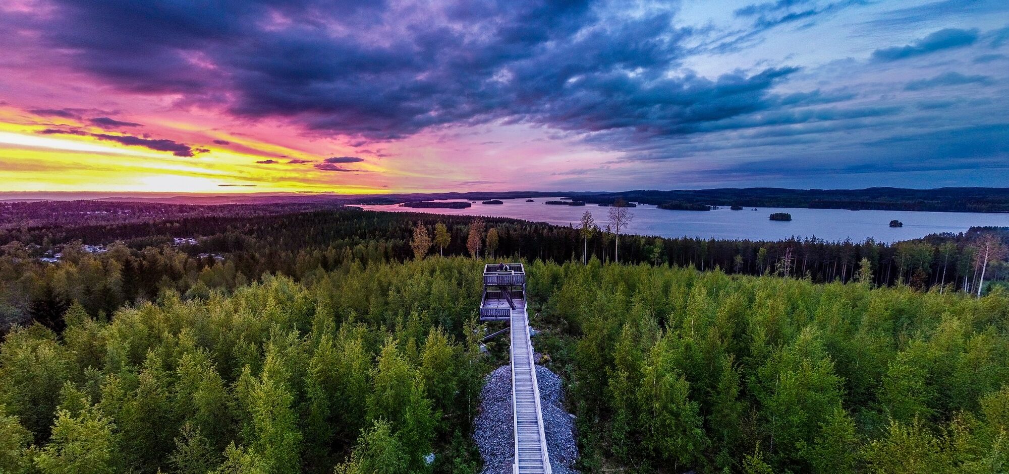
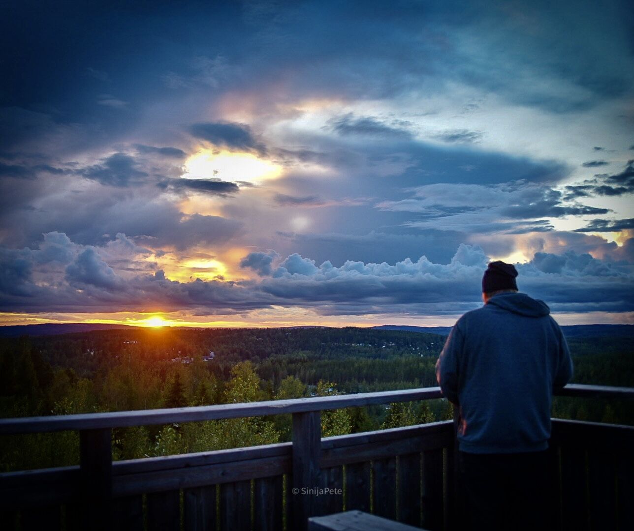
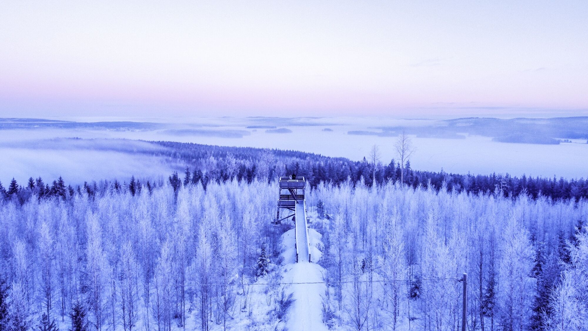
The 4.3-km-long easy trail is suitable for novice mountain bikers. The trail is technically easy for the most part, but there are a few tricky sections and some elevation changes. The soil is sandy loam. The 5.1-km-longchallenging trail has more technical sections and some elevation changes, as well as rocks and roots. The 5.8-km-long difficult trail consists of stony ground, demanding climbs and descents, as well as jumps. The trail has three climbs up Äänemäki hill, with stunning views of Keitele. The starting point of the trails is located near Äänemäki car park. Bikers set off from the bicycle washing point. Äänemäki has a campfire site.

Ride the trails at your own risk. The most difficult sections are marked with warning signs. Be prepared to stop. Roots and rocks may be slippery in wet weather.
Report any changes and safety deficiencies that you notice along the trails.
People other than cyclists may also use the trails. Treat walkers and other users with courtesy and care.
Learn about mountain biking etiquette.
For normal mountain biking, it's a good idea to have a small first aid kit and some bicycle maintenance equipment with you.
Select a trail that suits your level of skill.
The address of the starting point is Äänemäki, Äänemäentie, 44100 Äänekoski. The trails are located about one kilometre from Äänekoski centre.
The starting point is located less than 2 kilometres from the bus station in Äänekoski centre, which is easy to reach from Jyväskylä and Viitasaari, for example.
Cars may be parked at Äänemäki car park.
Trail rules:
Ride only in the marked direction
Riding without a helmet is forbidden
Observe caution and pay attention to other users of the area
Do not litter
The trails can also be combined with the 2.5-km-long Palokangas trail.
Wędrówki i tropienie


Nie przegap ofert i inspiracji na następne wakacje
Twój adres e-mail została dodana do listy mailingowej.