







Gerlitzen - Kanzelbahn
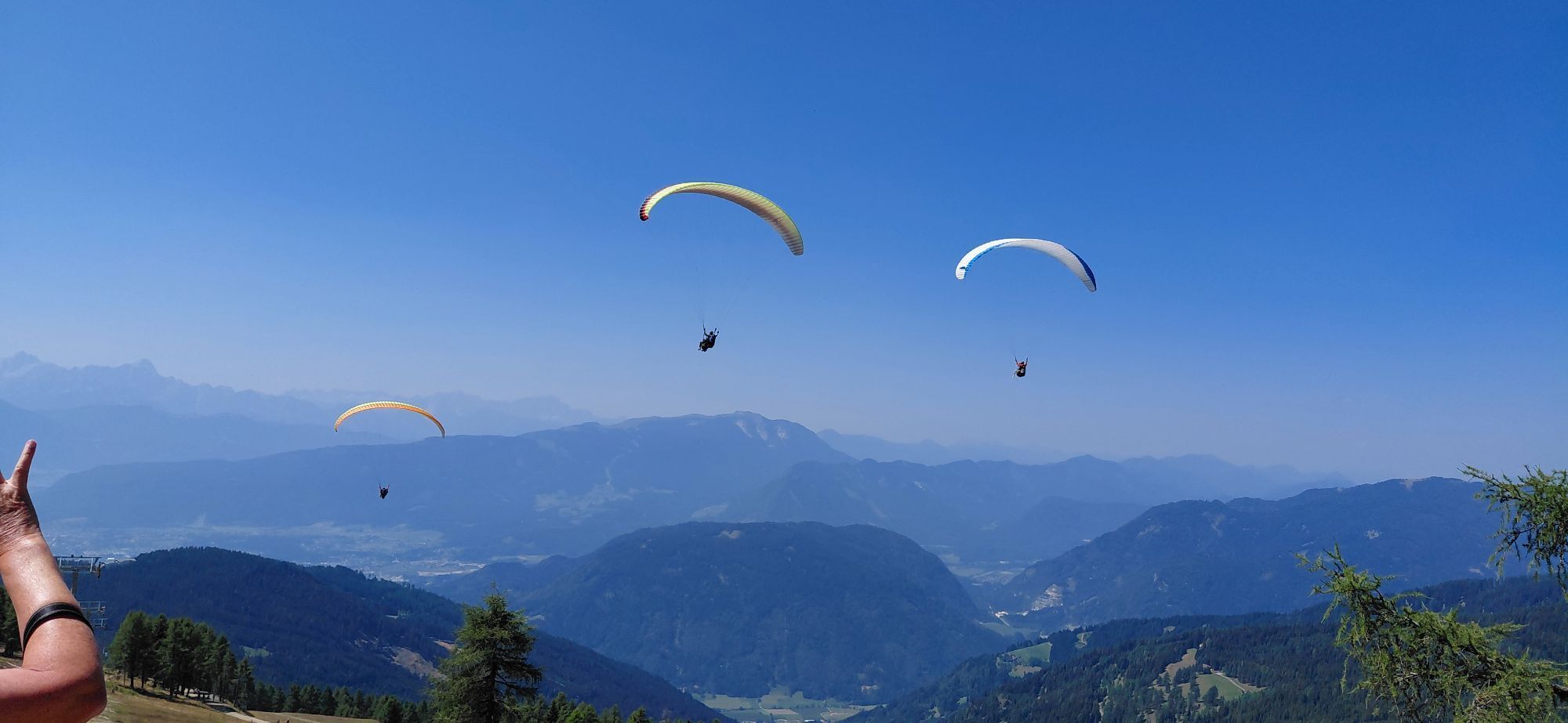
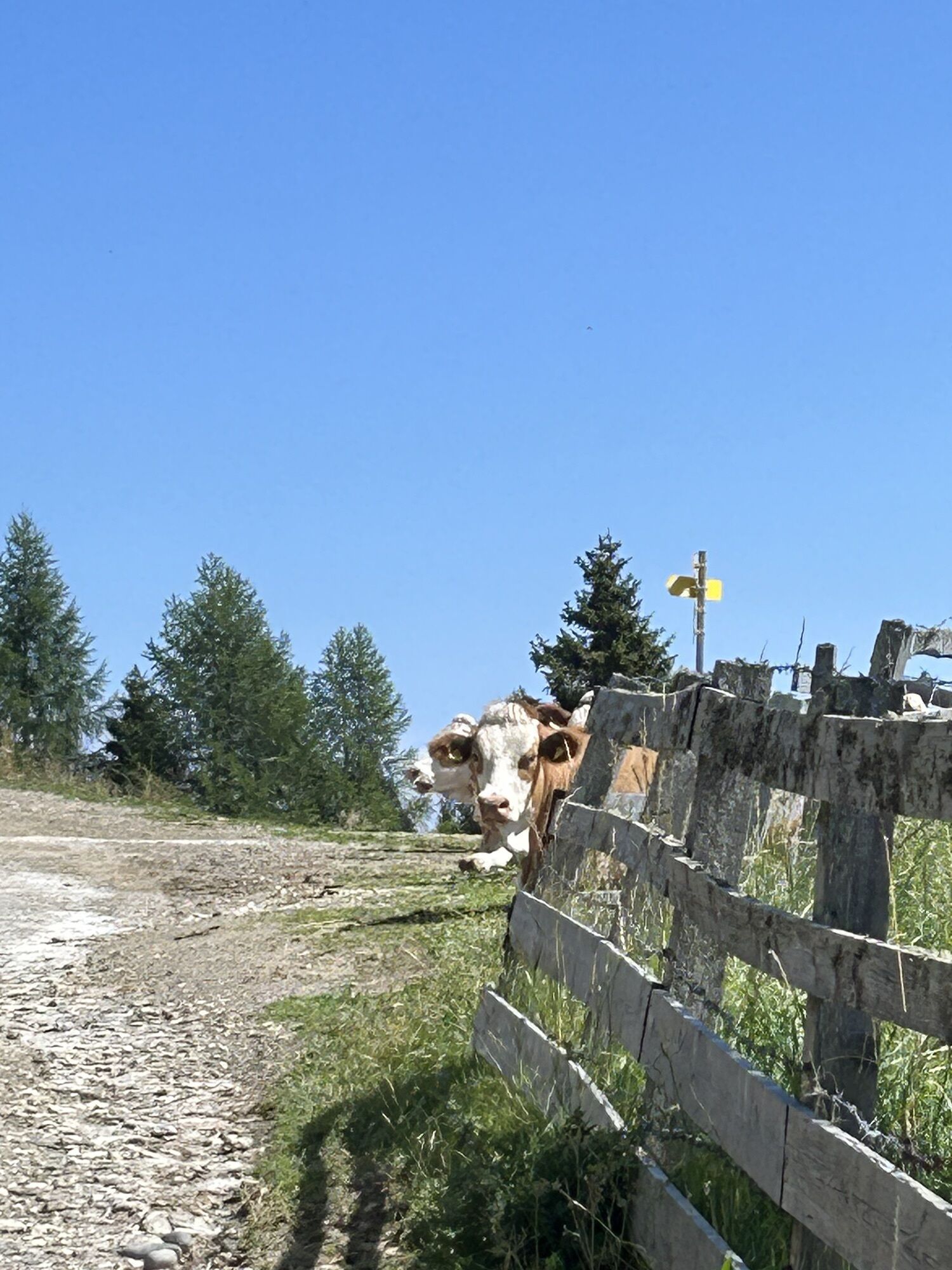
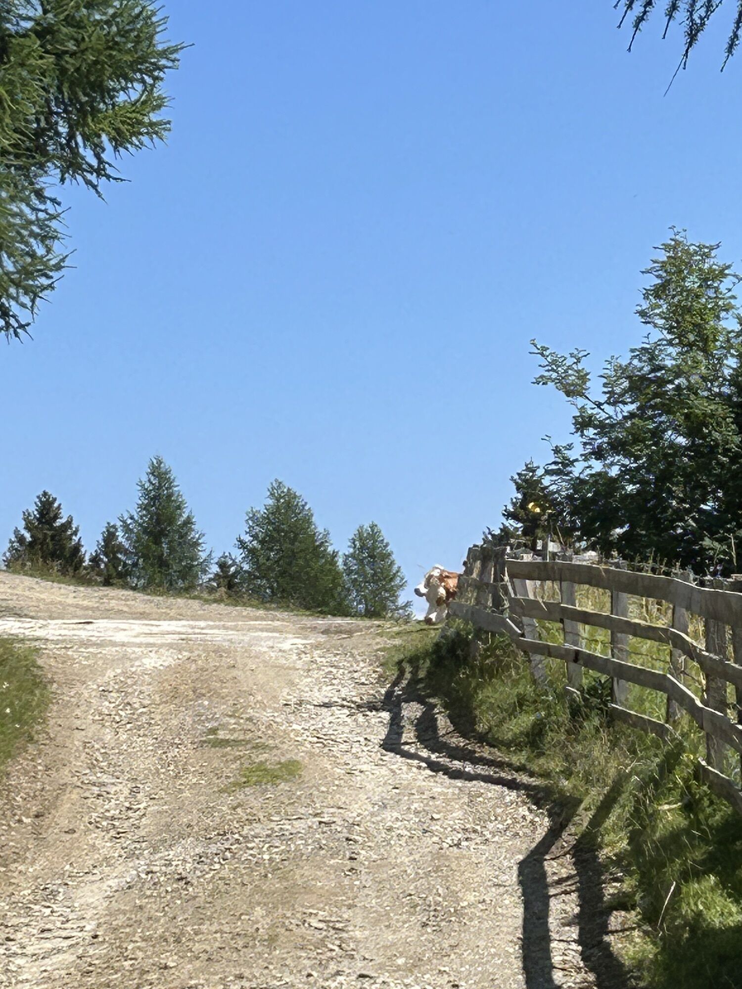
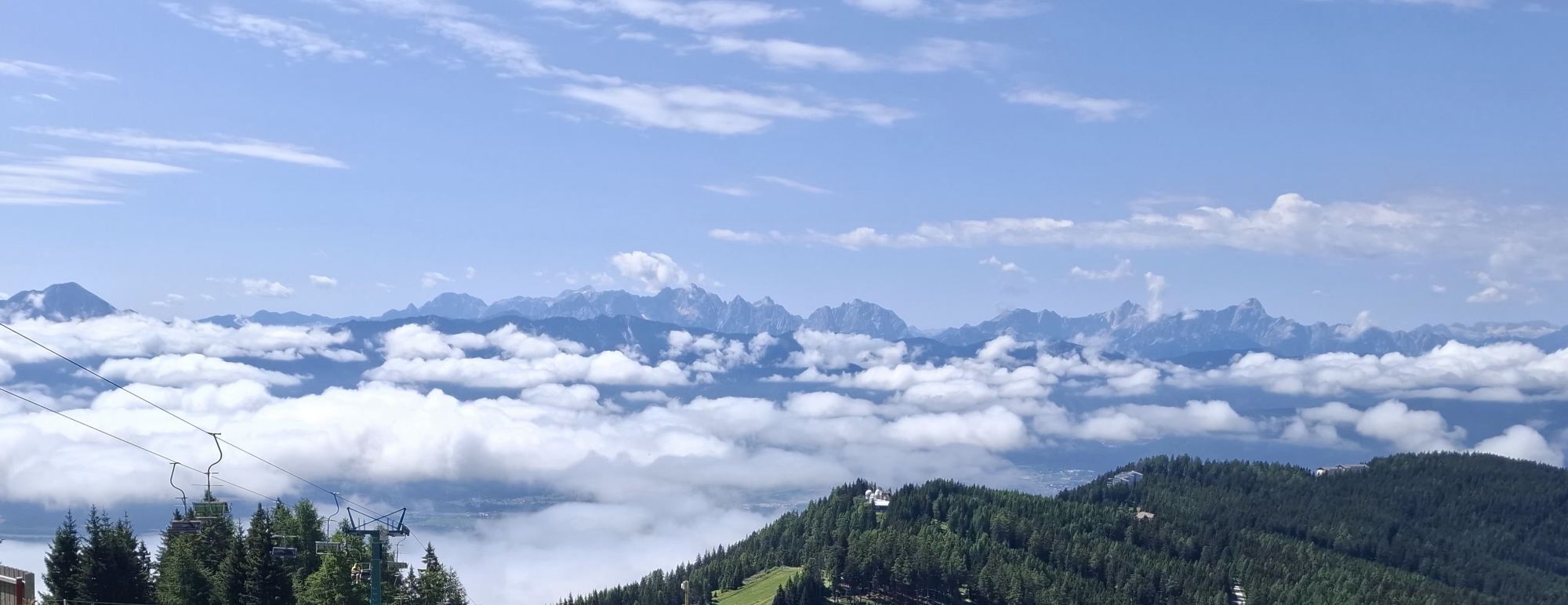
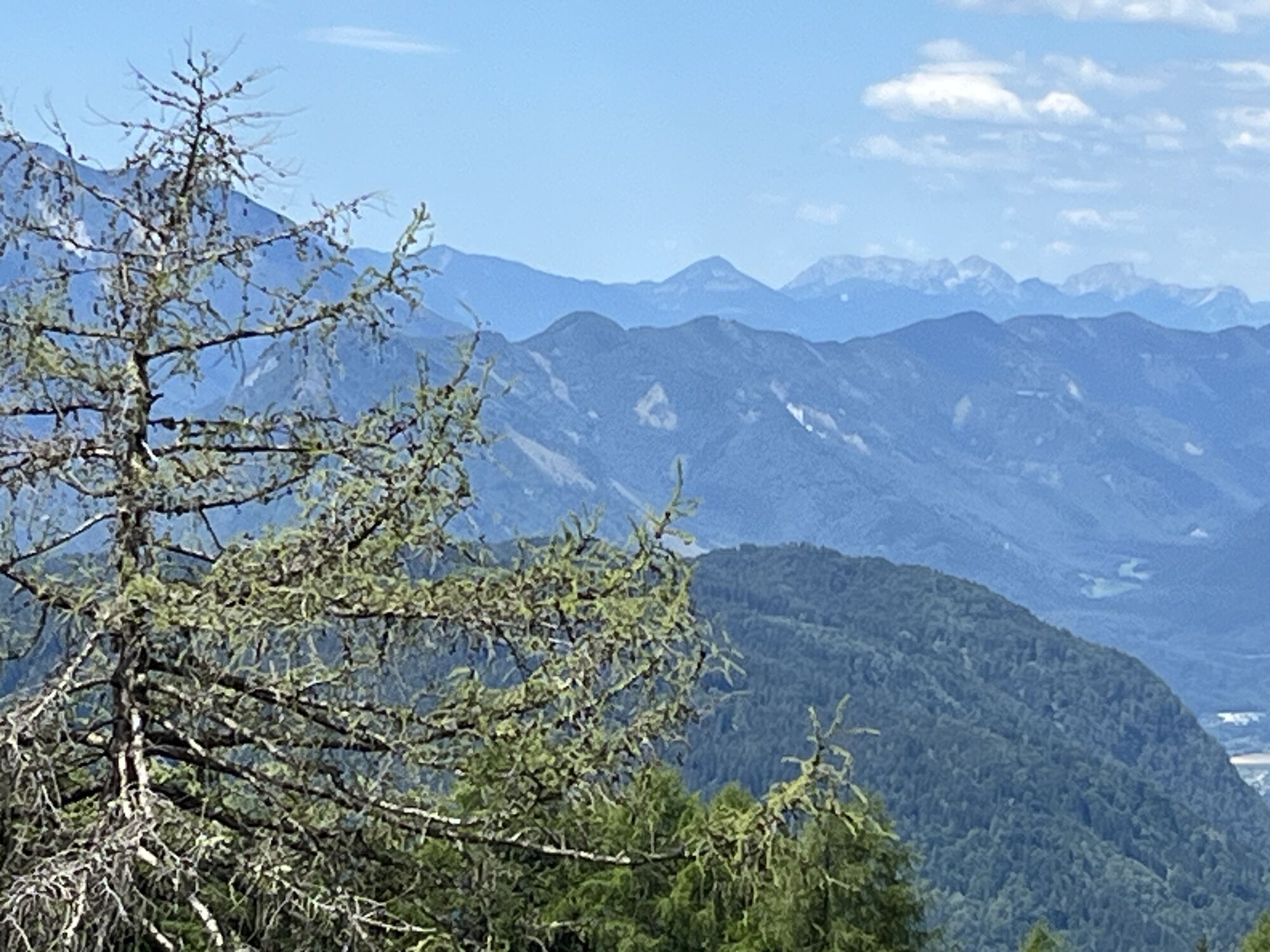
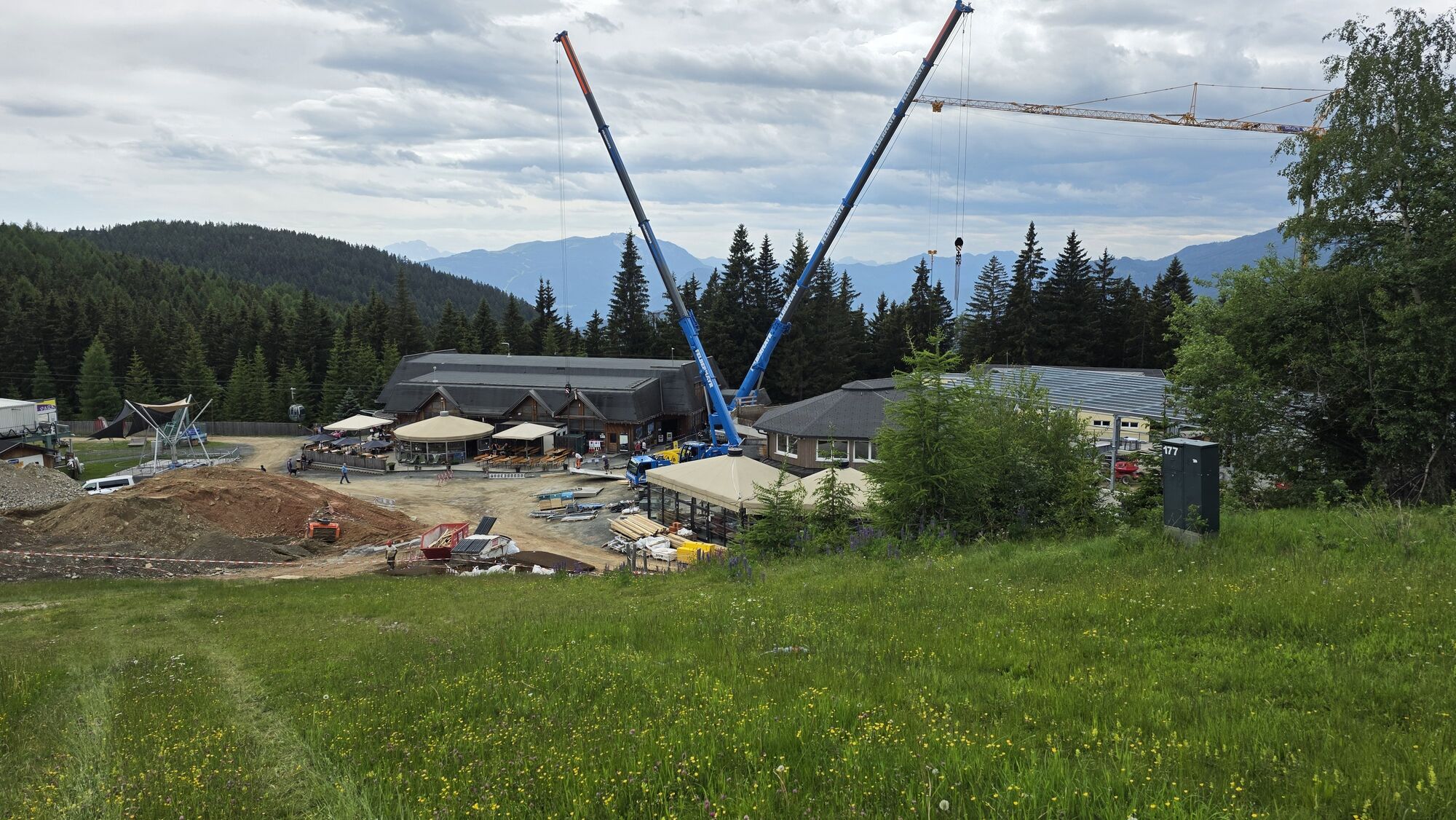
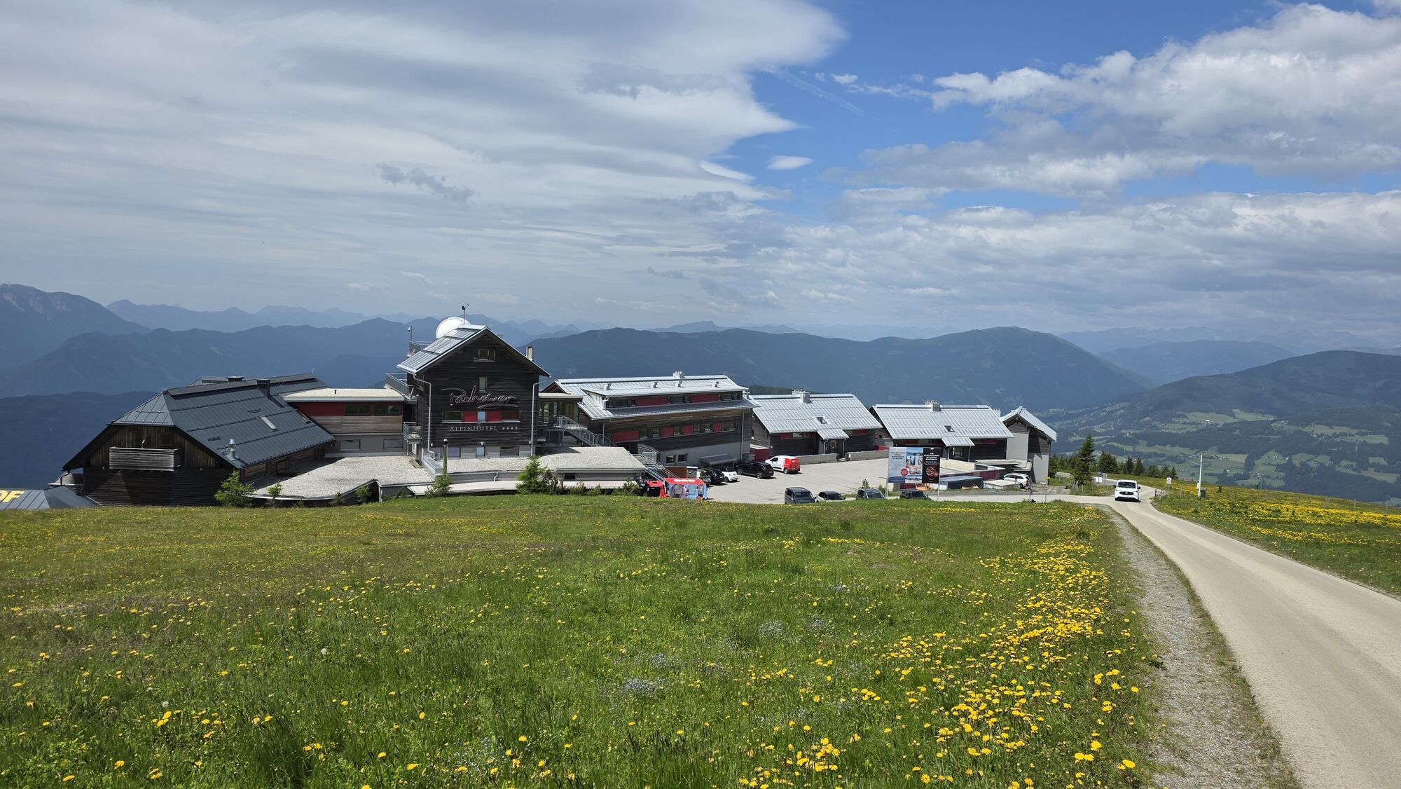
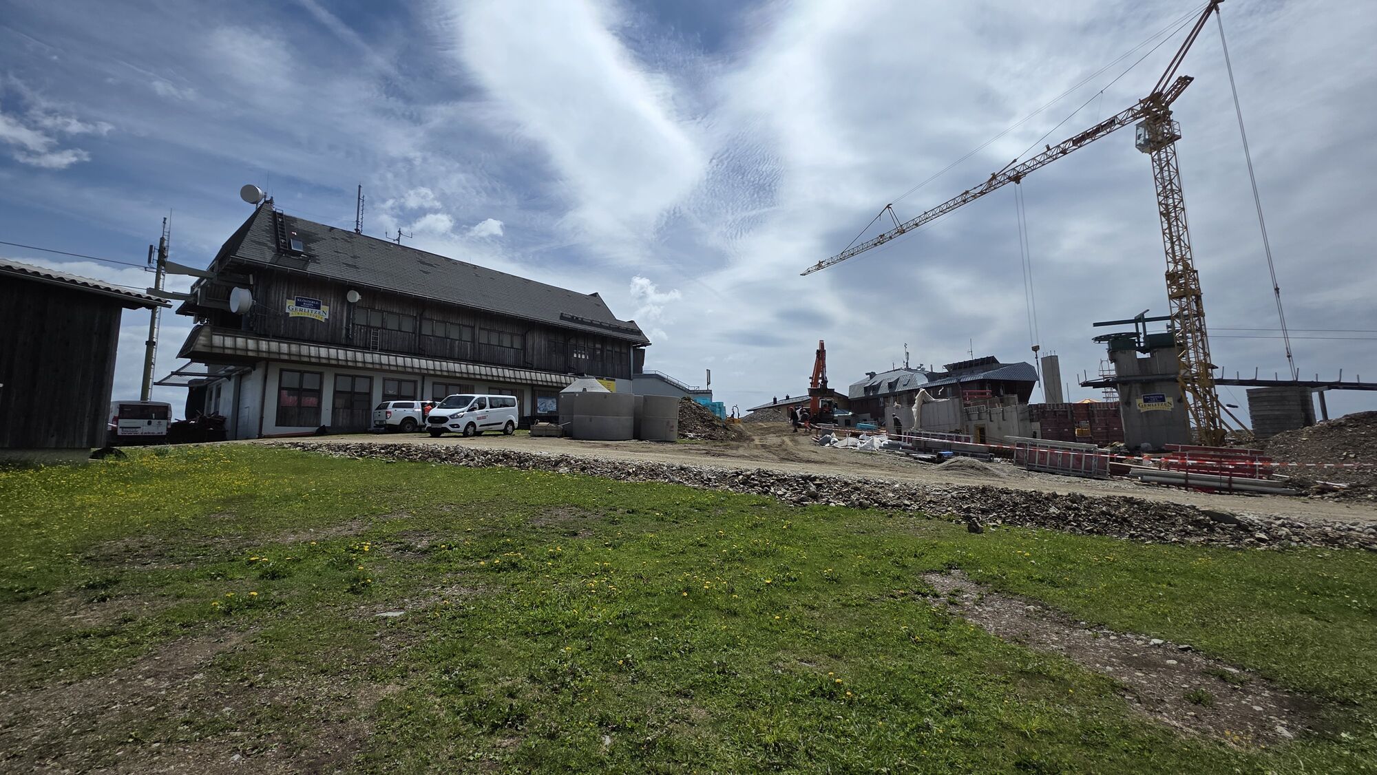
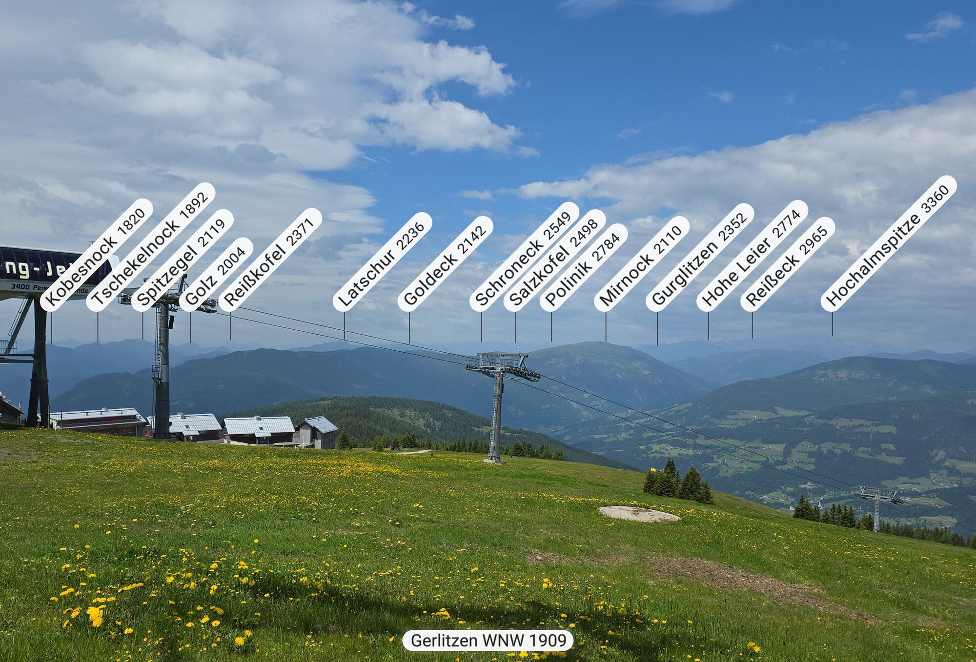
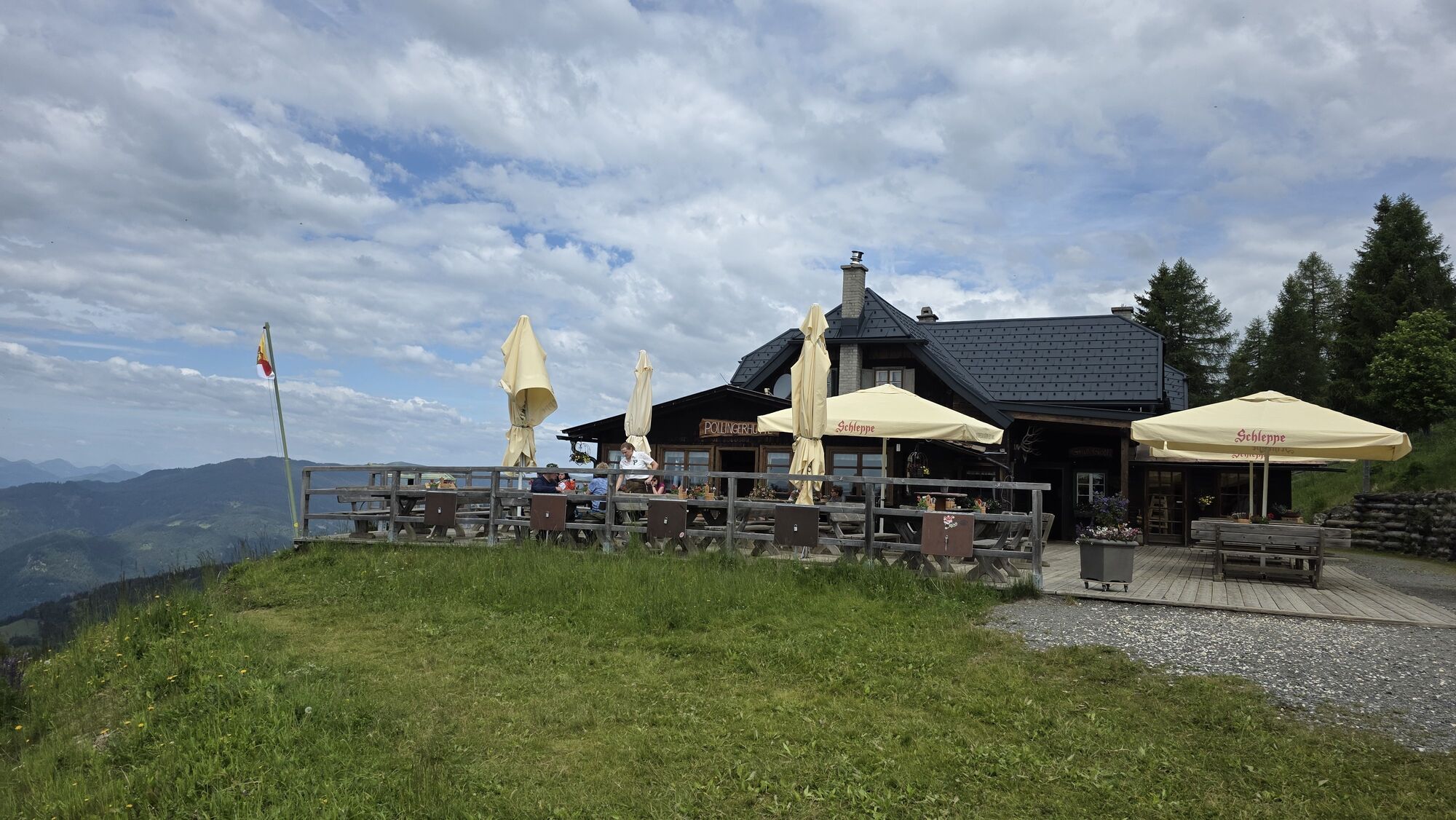
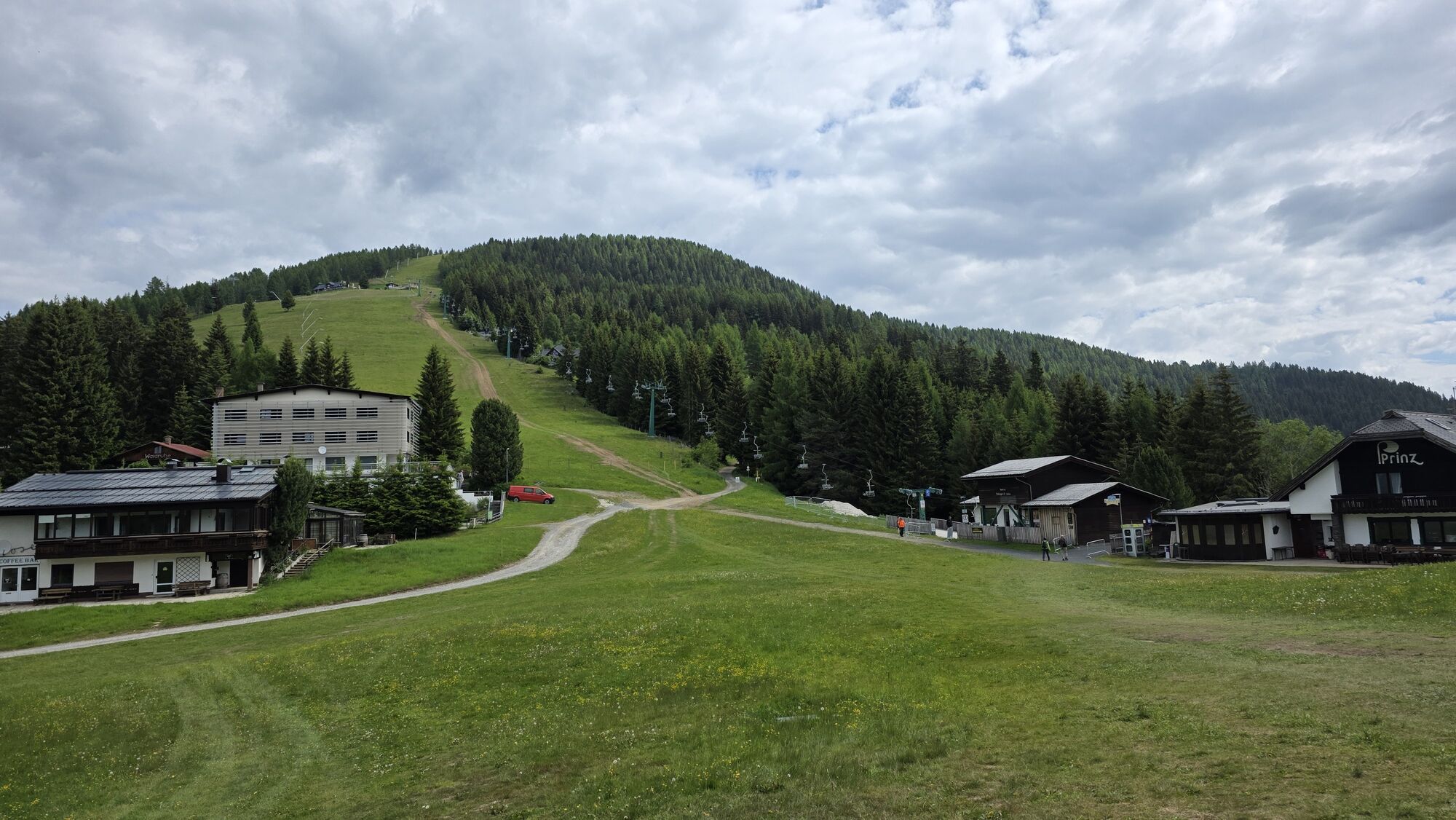
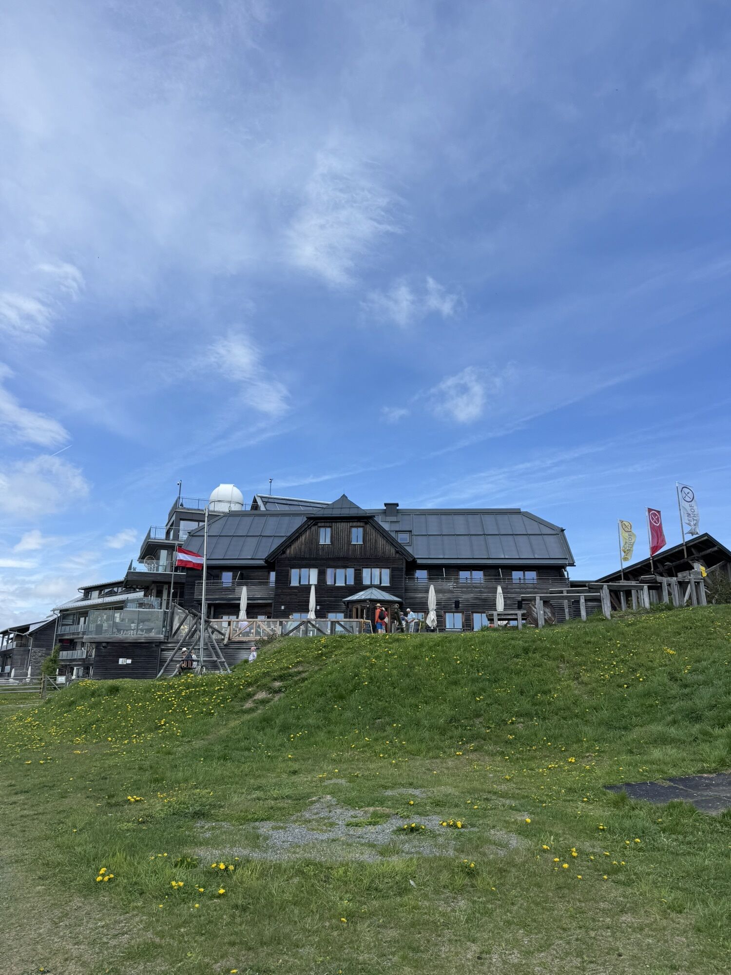
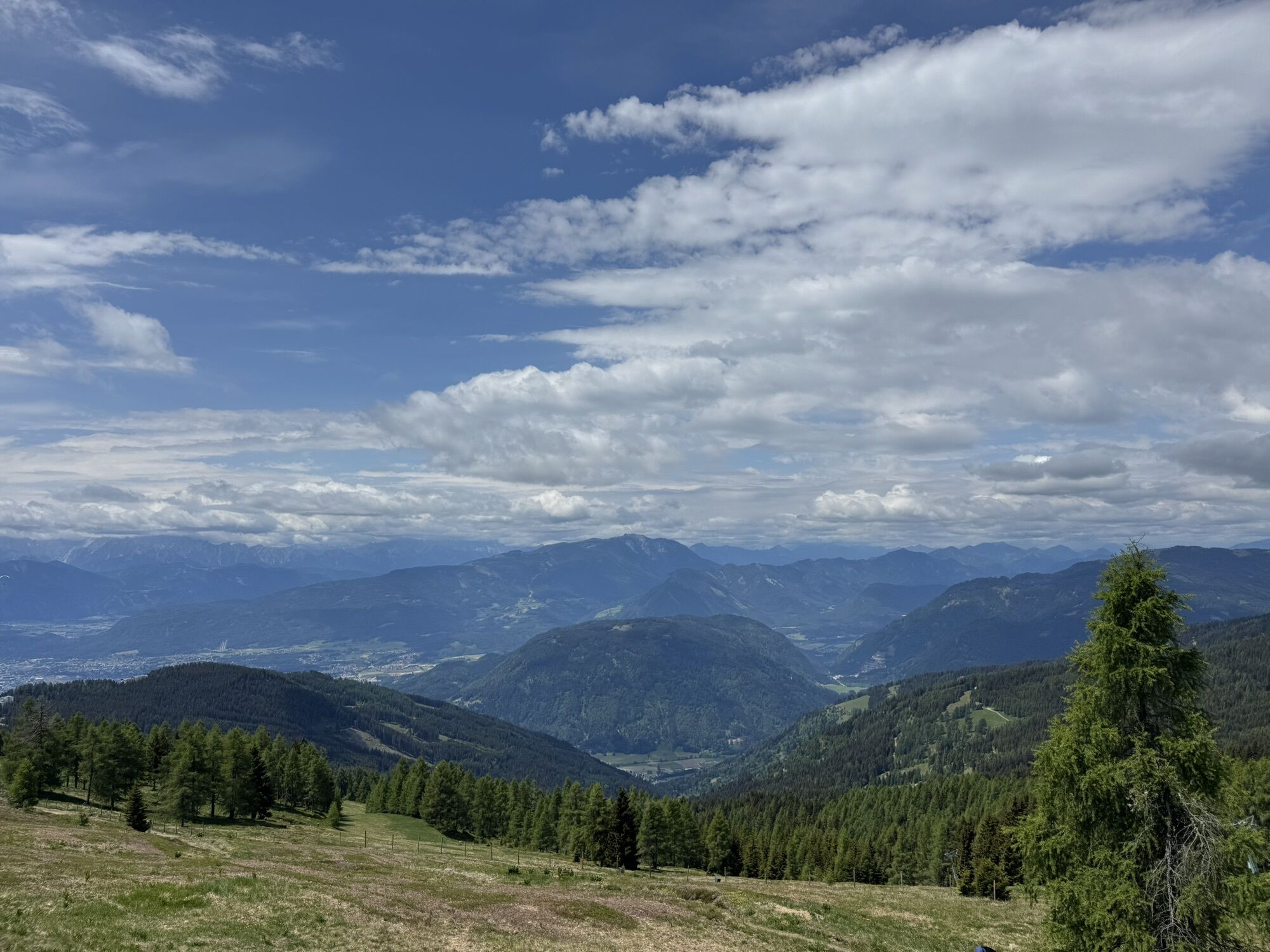
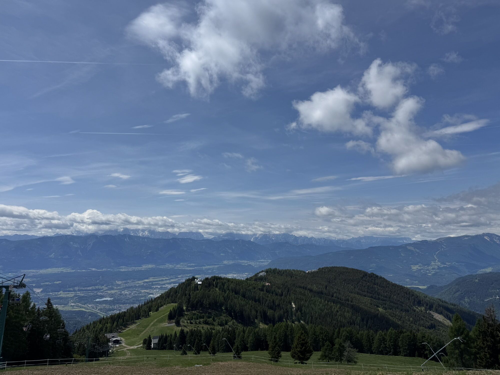
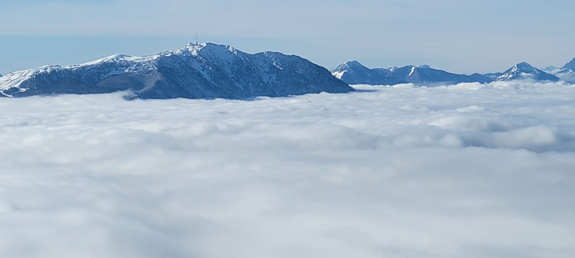
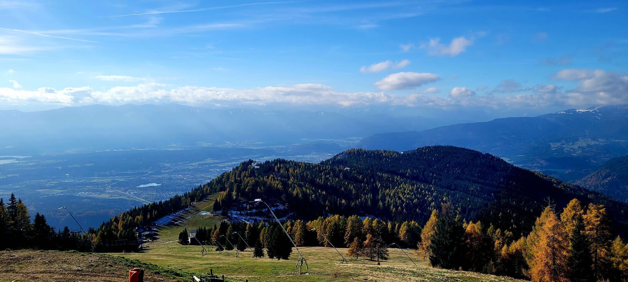
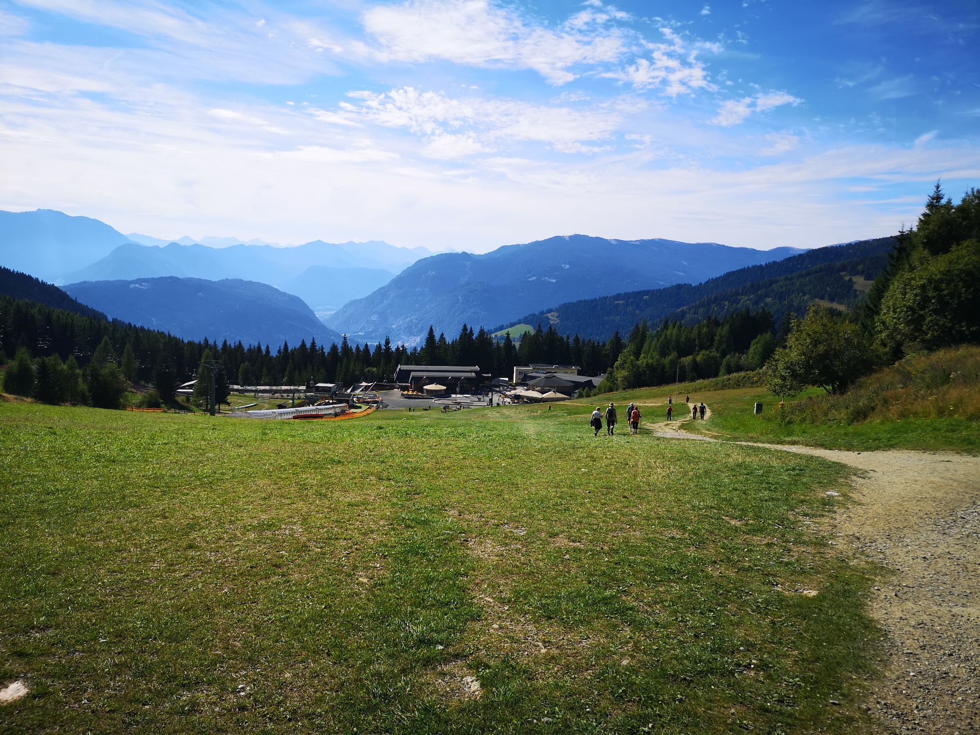
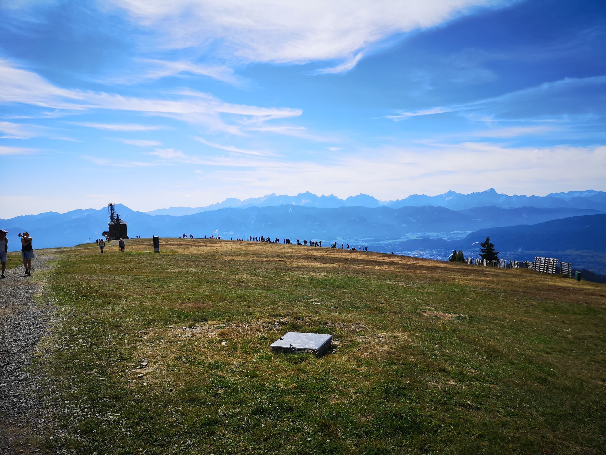
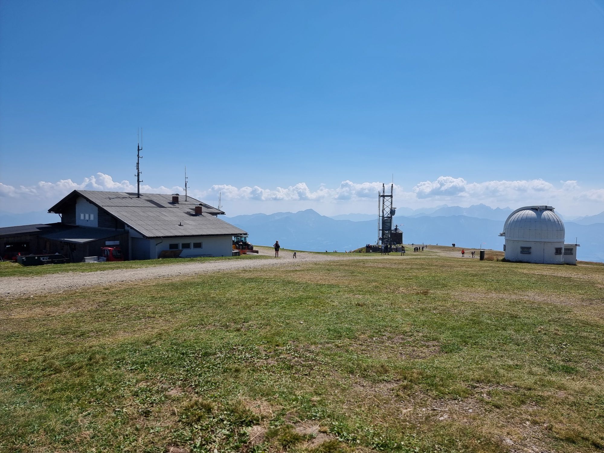
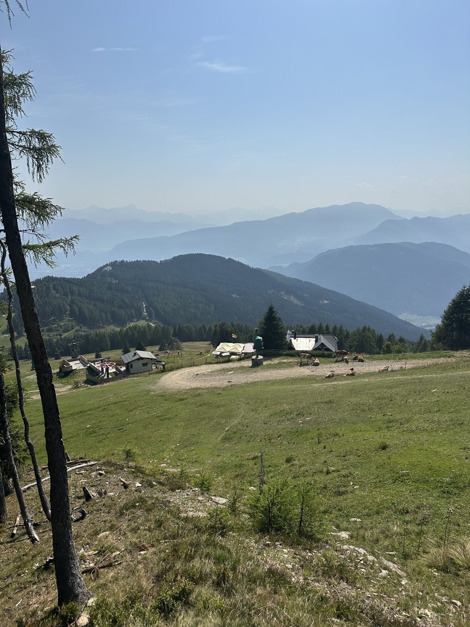
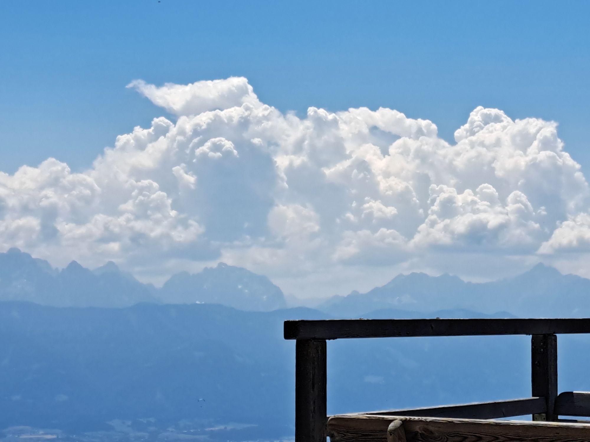
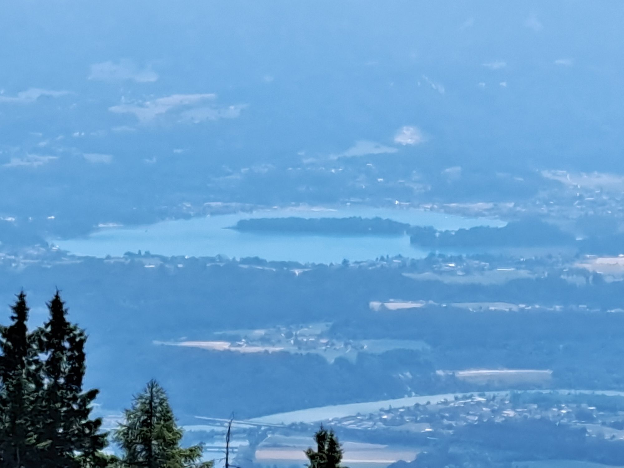
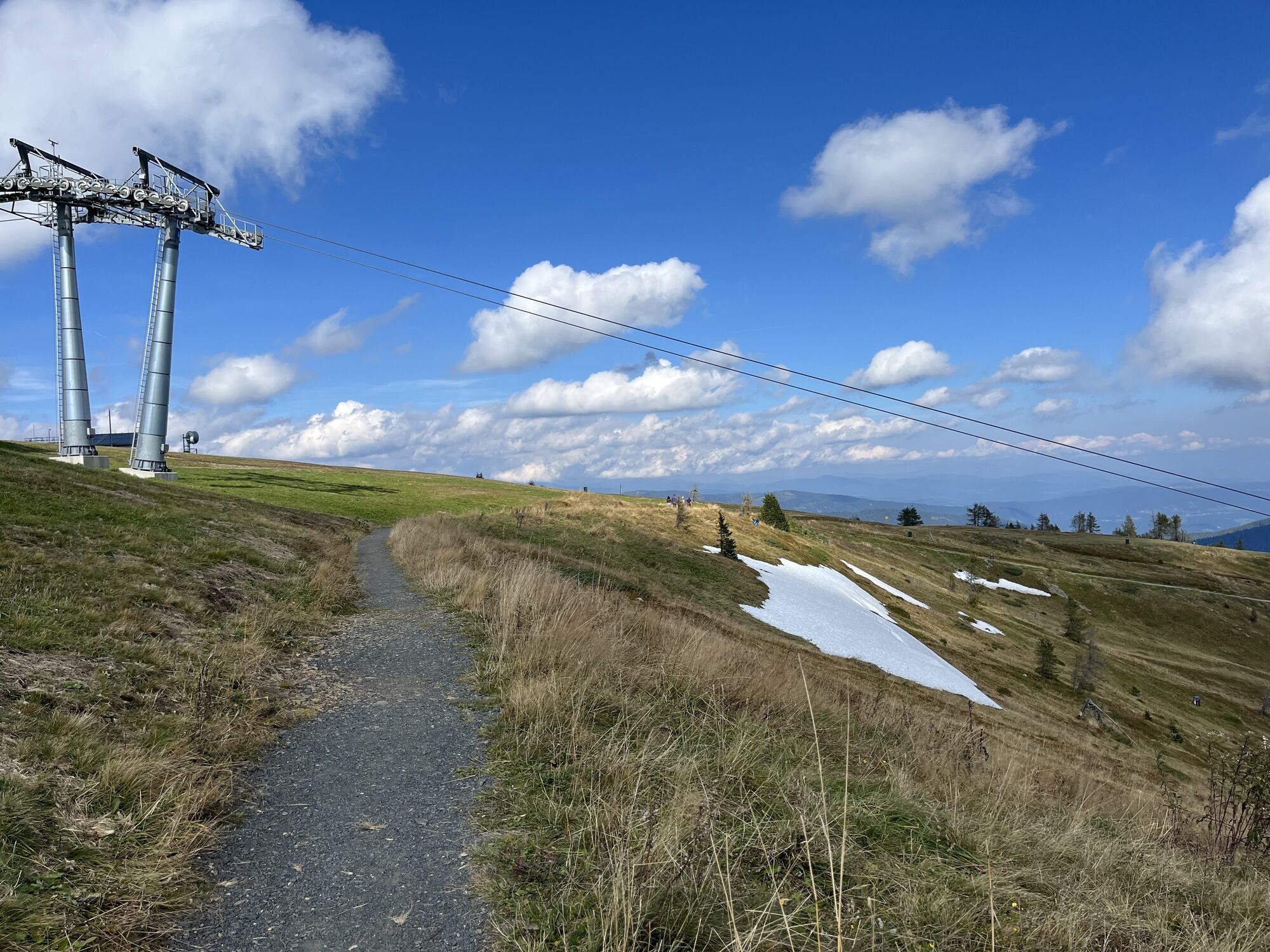
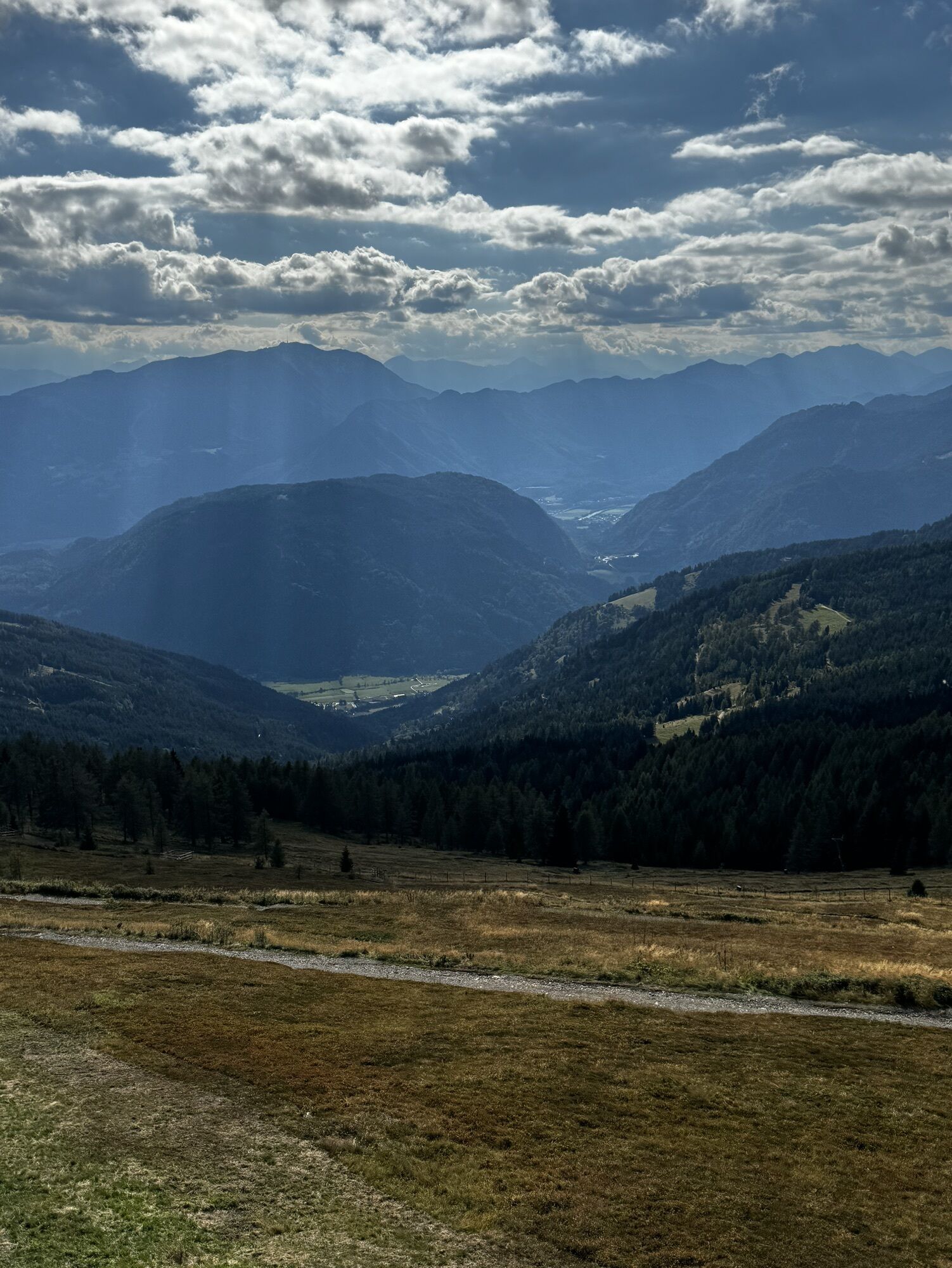
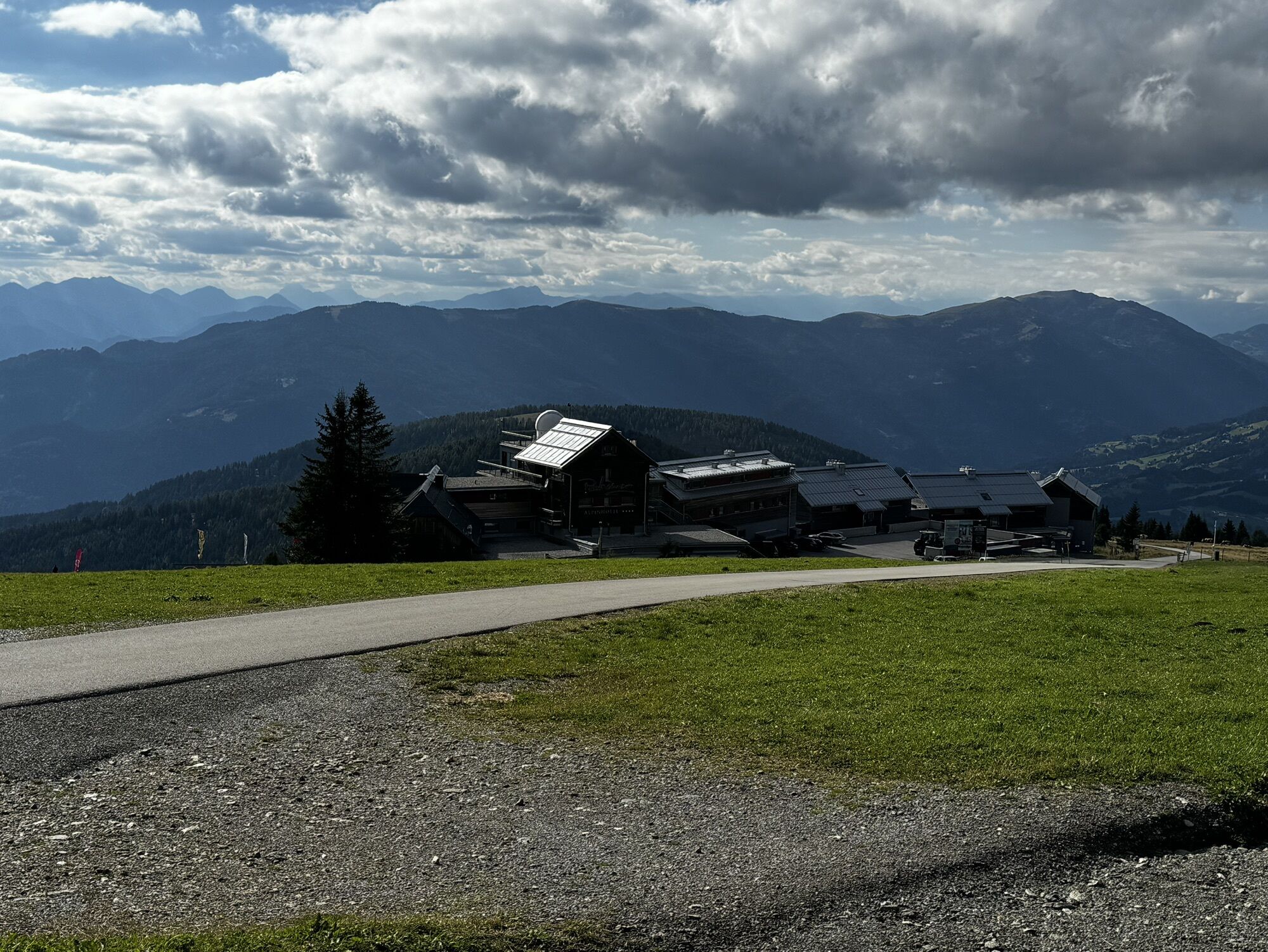
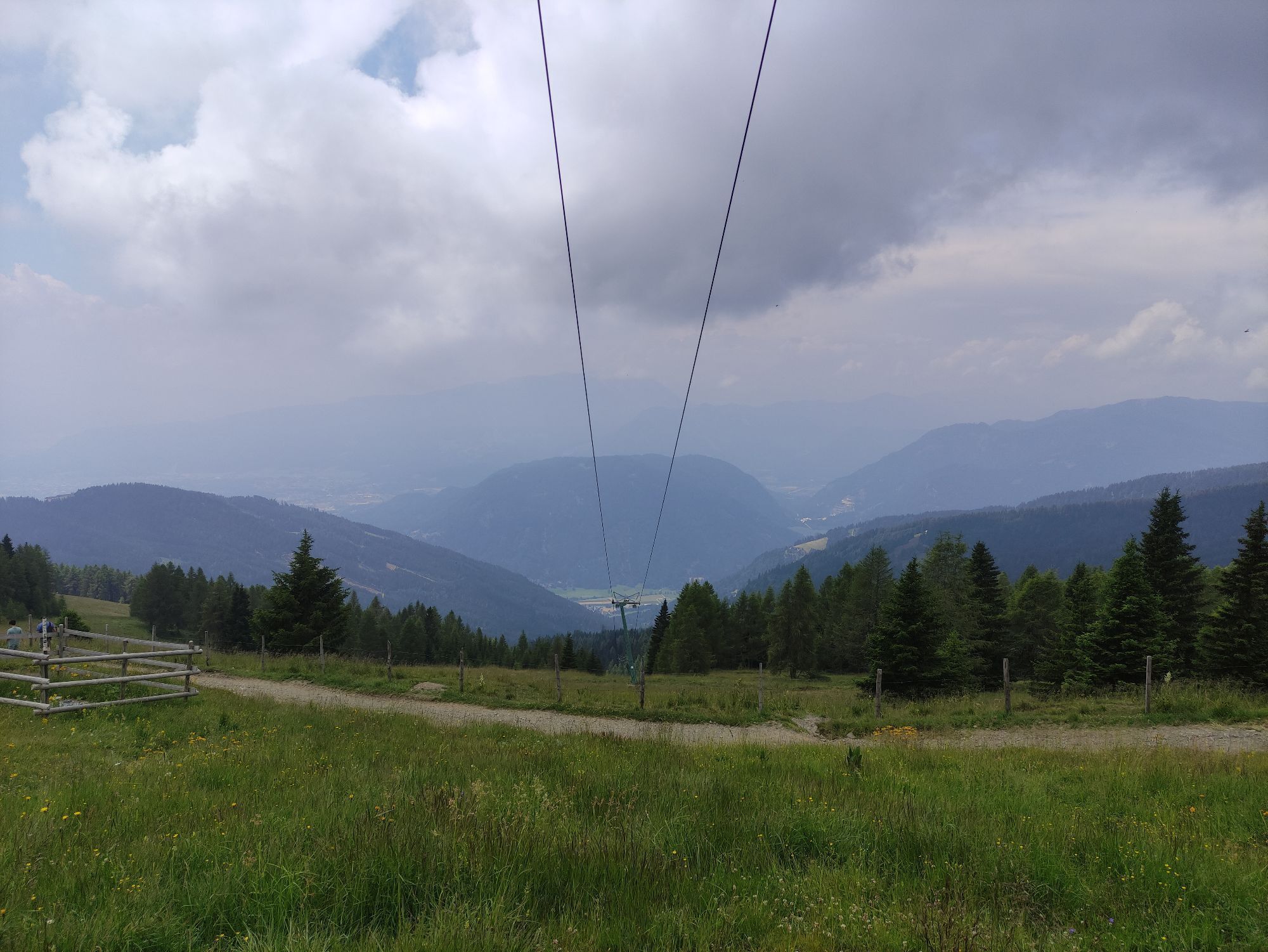
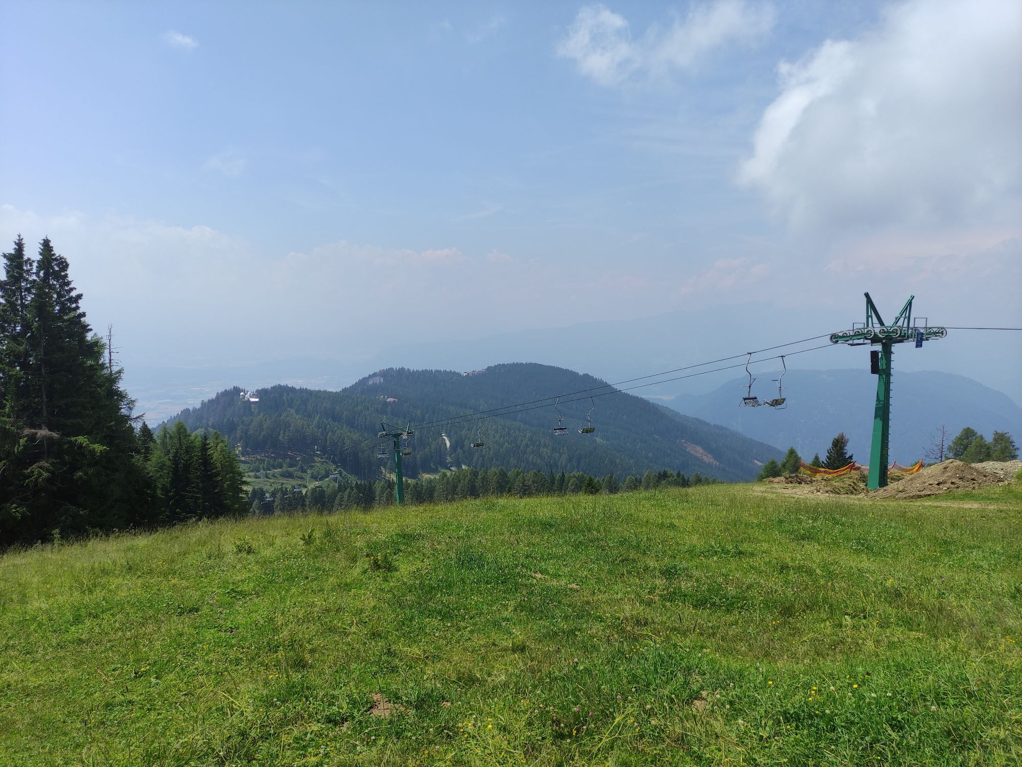
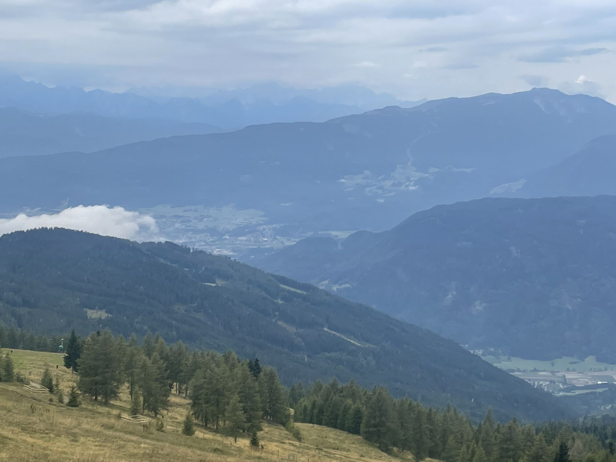
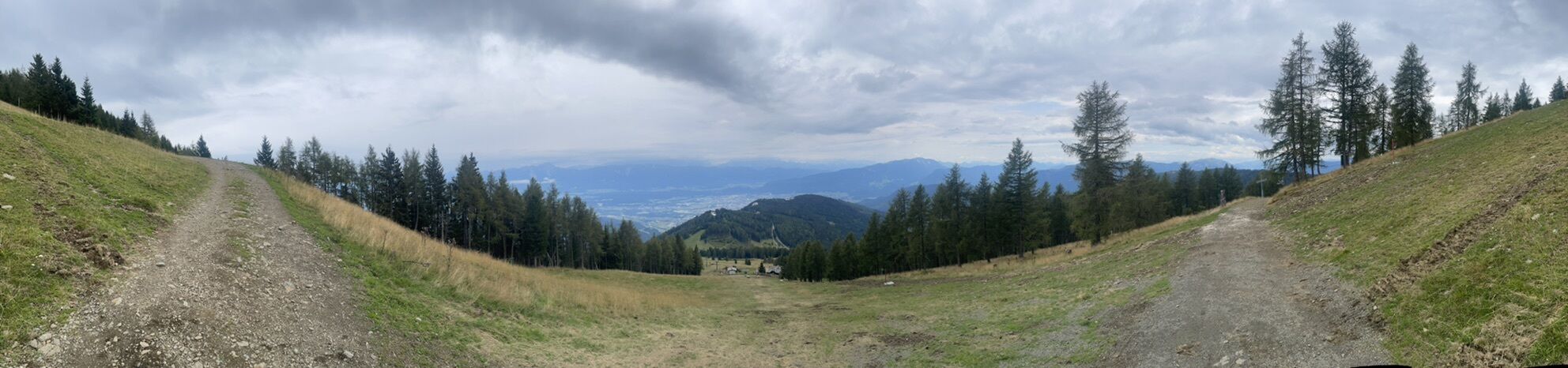
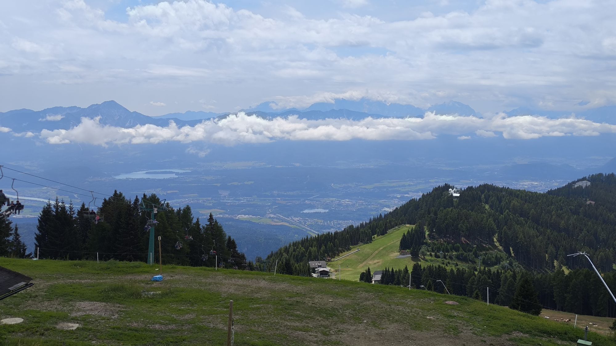
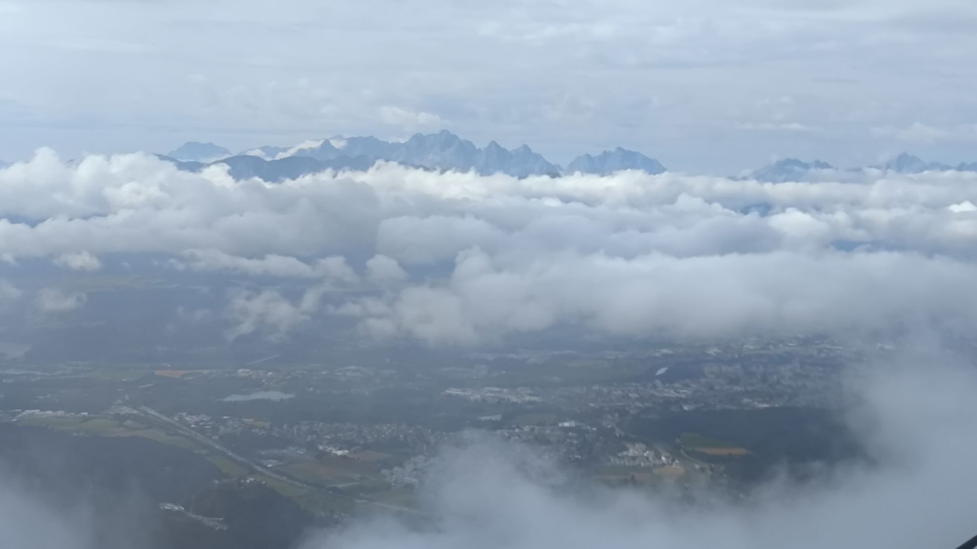
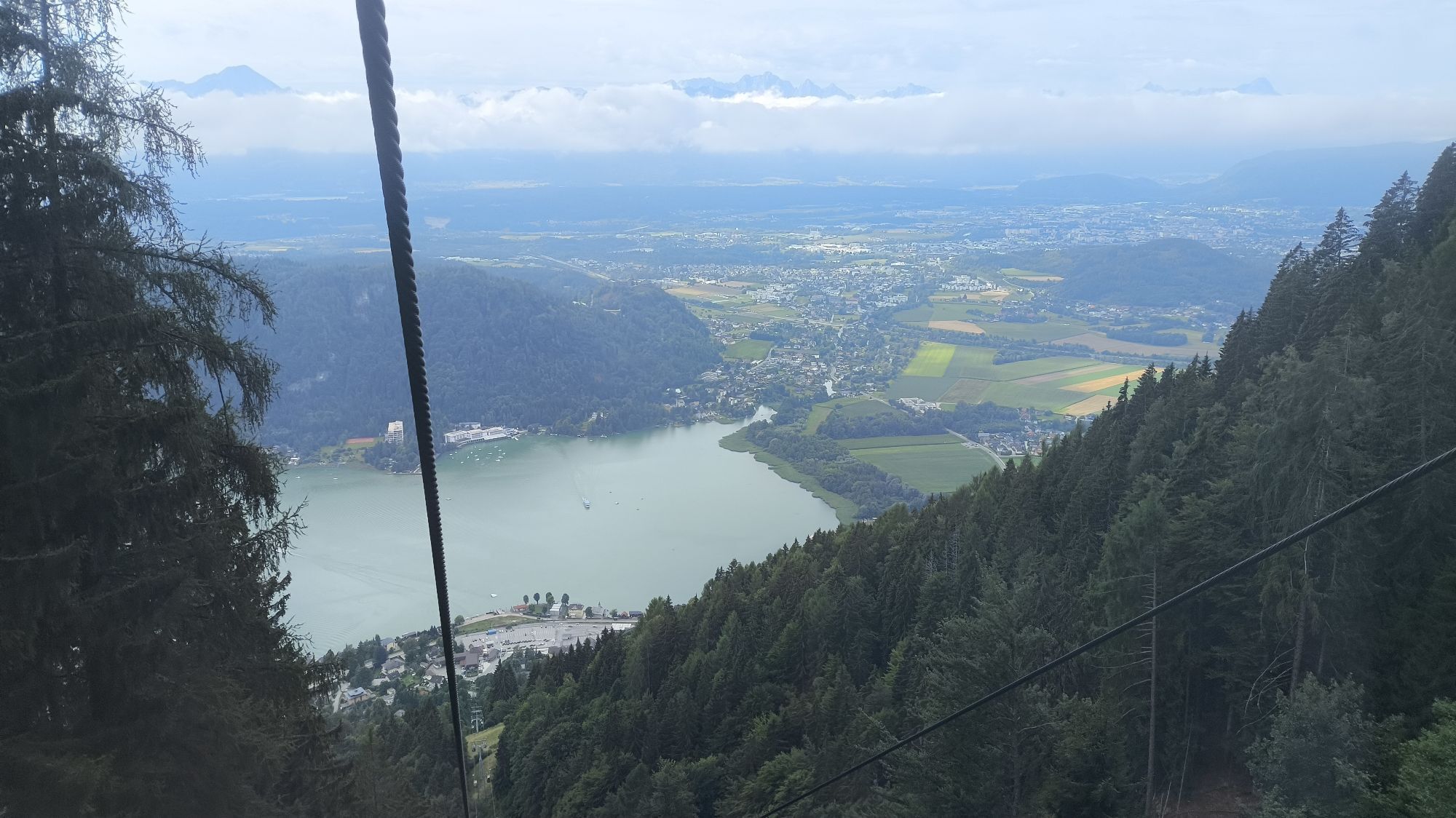
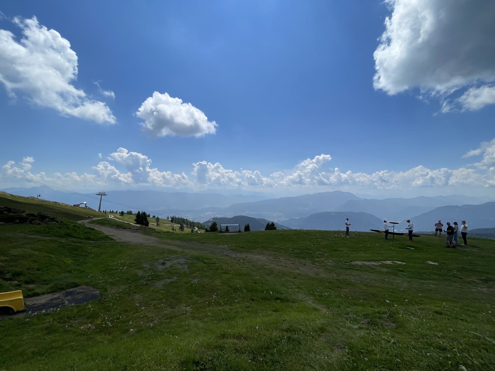
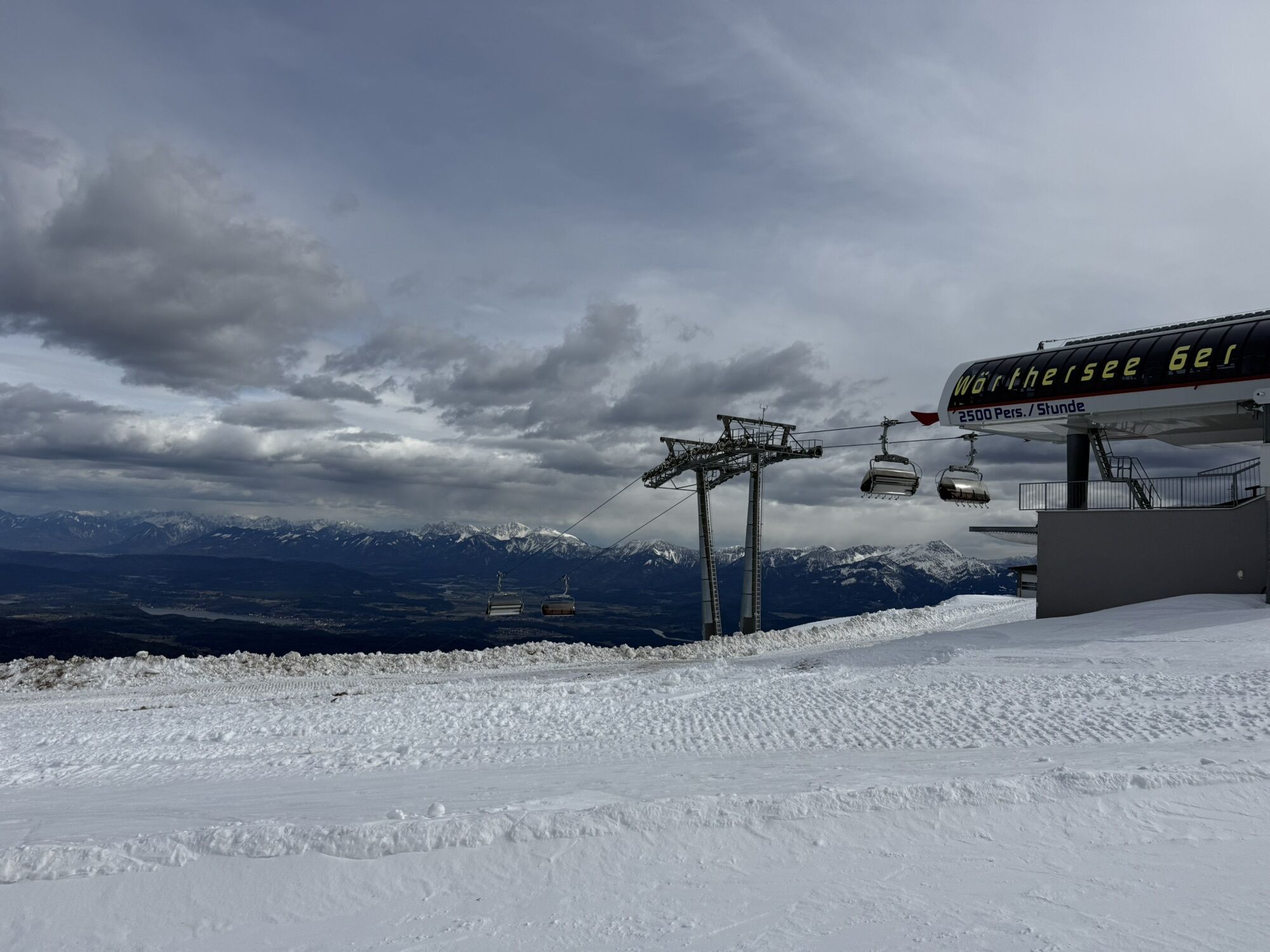
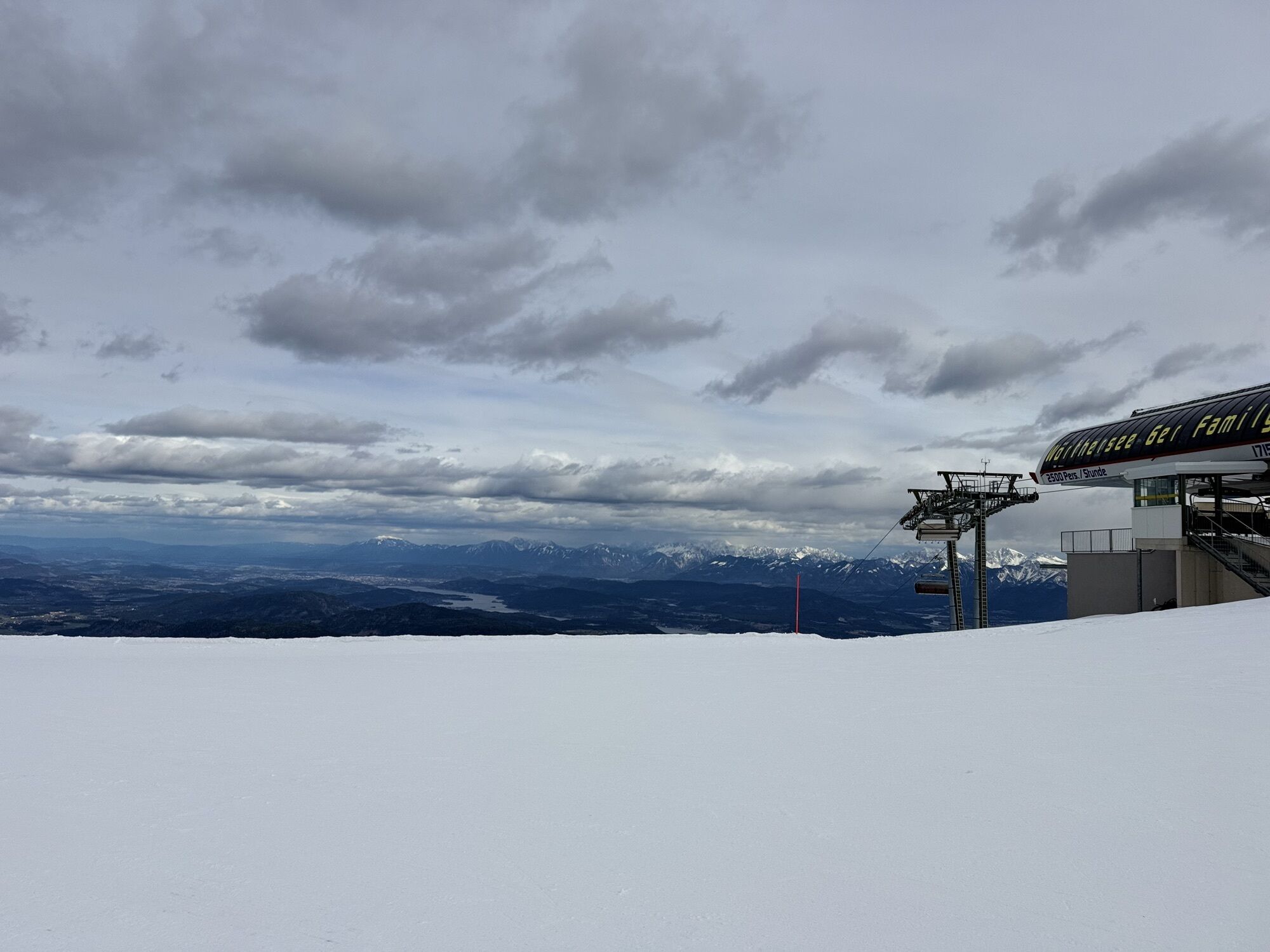
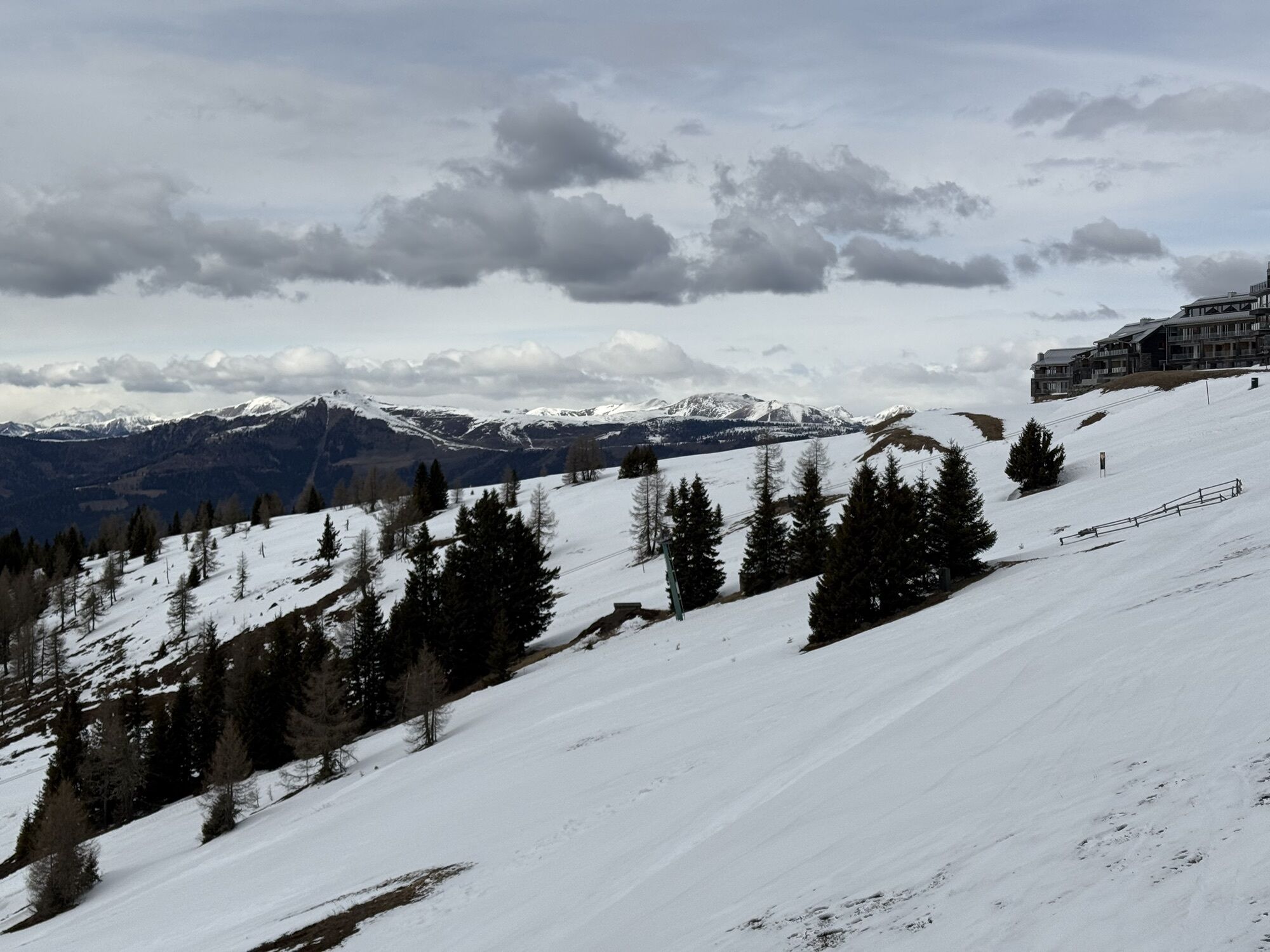
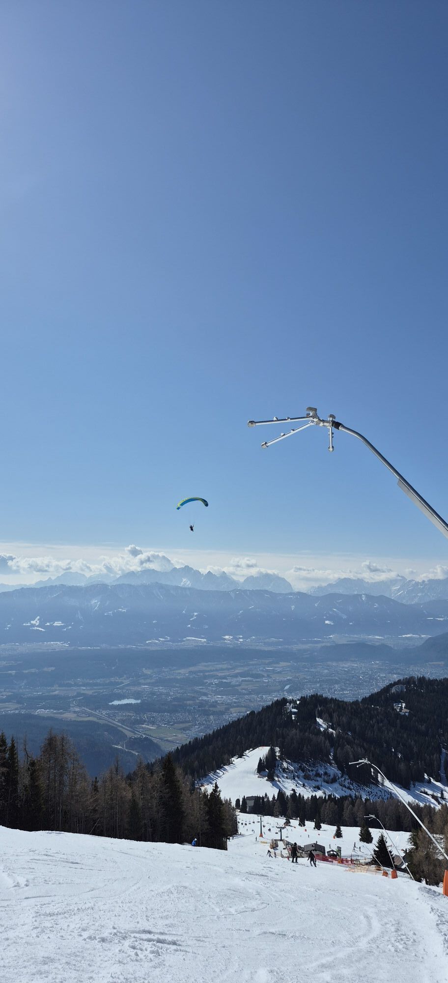
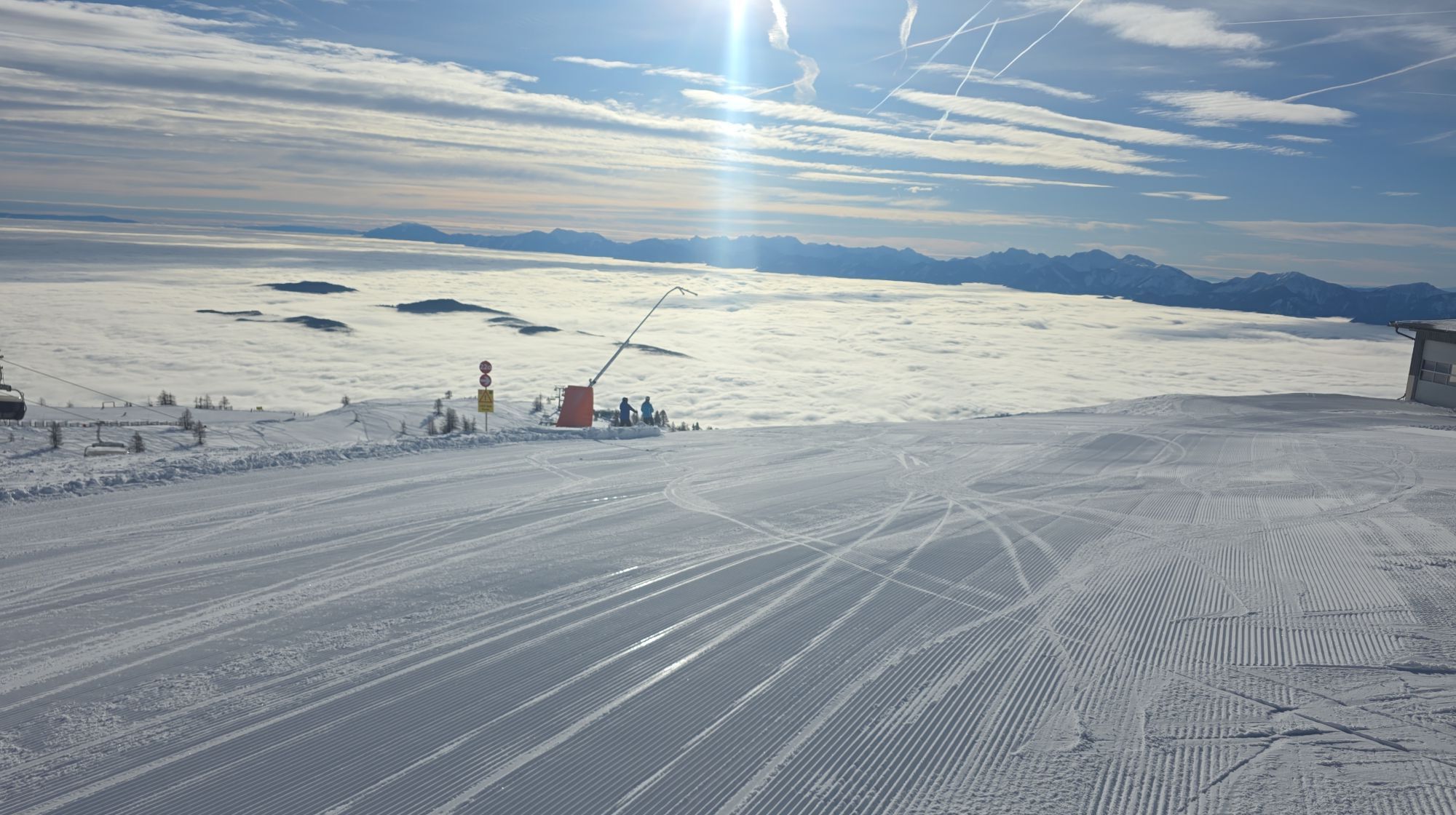
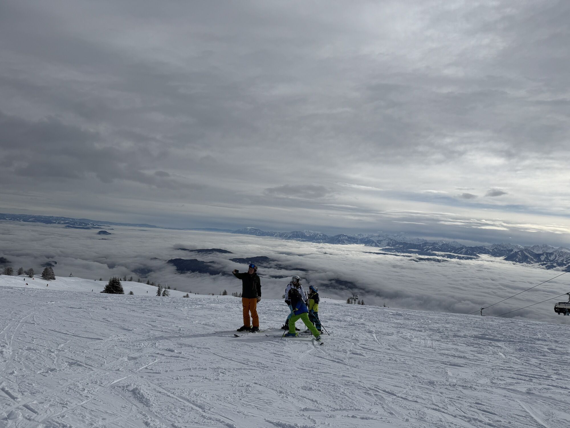
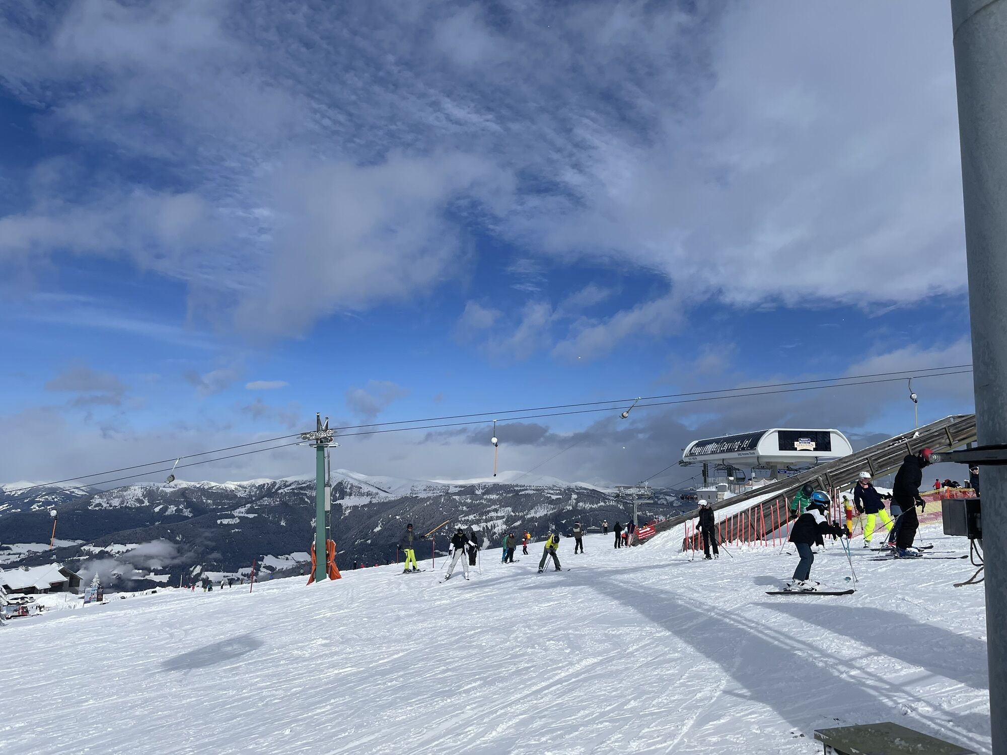
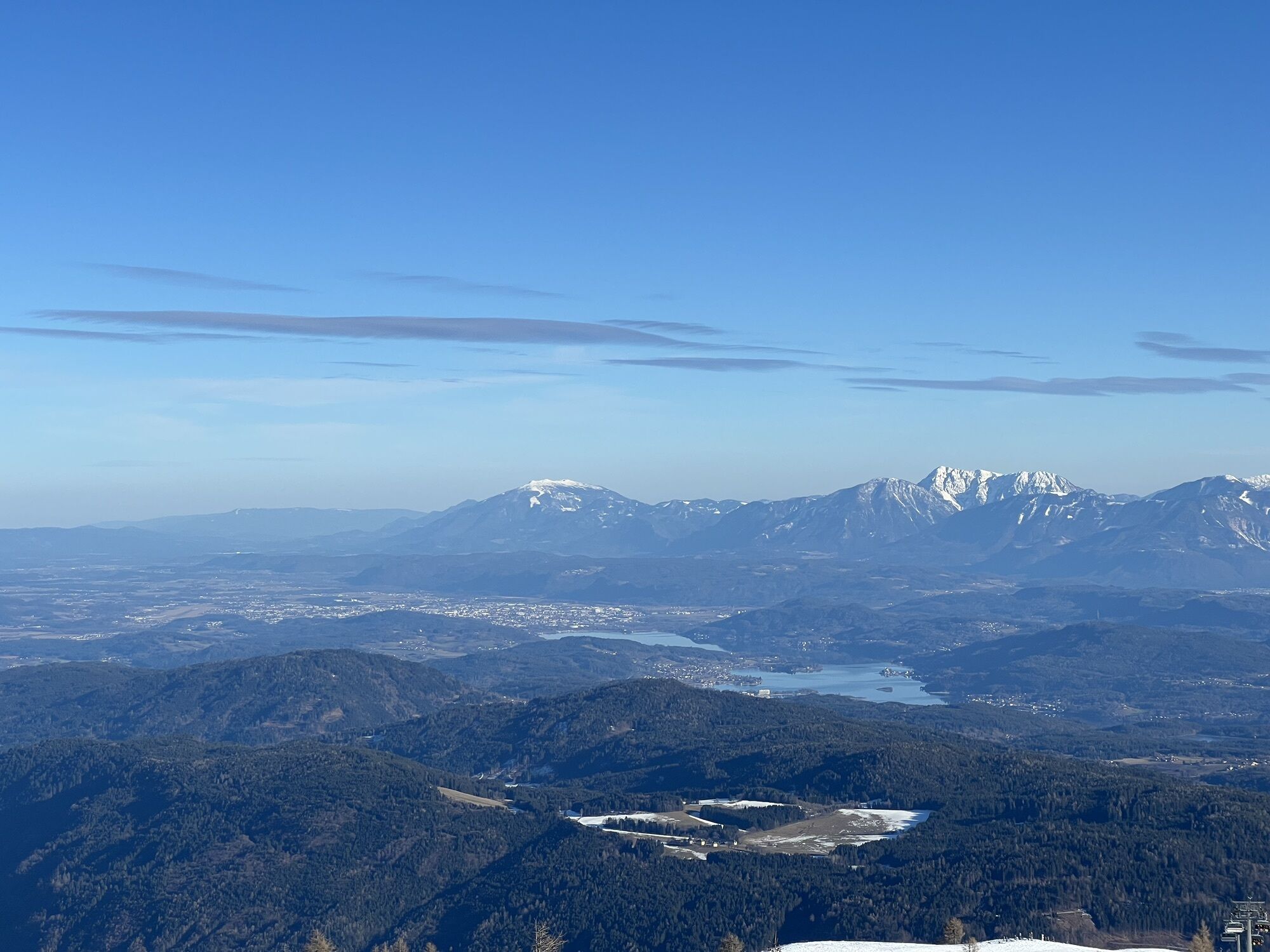
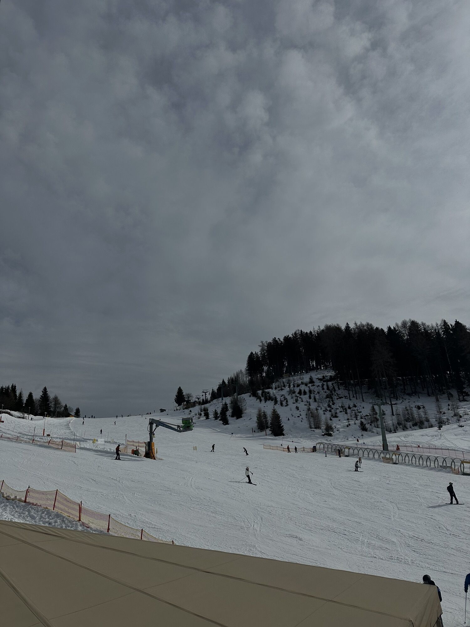
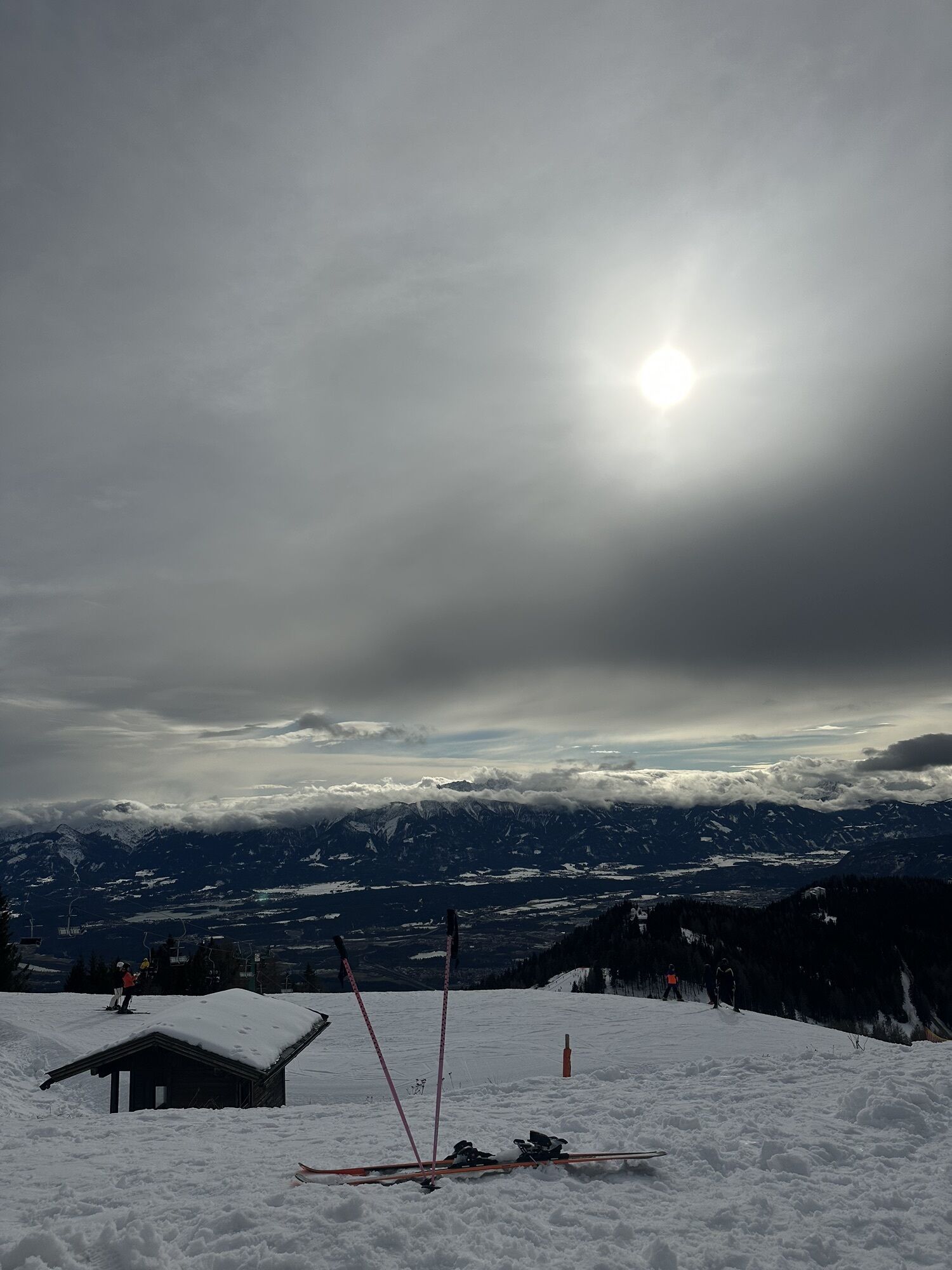
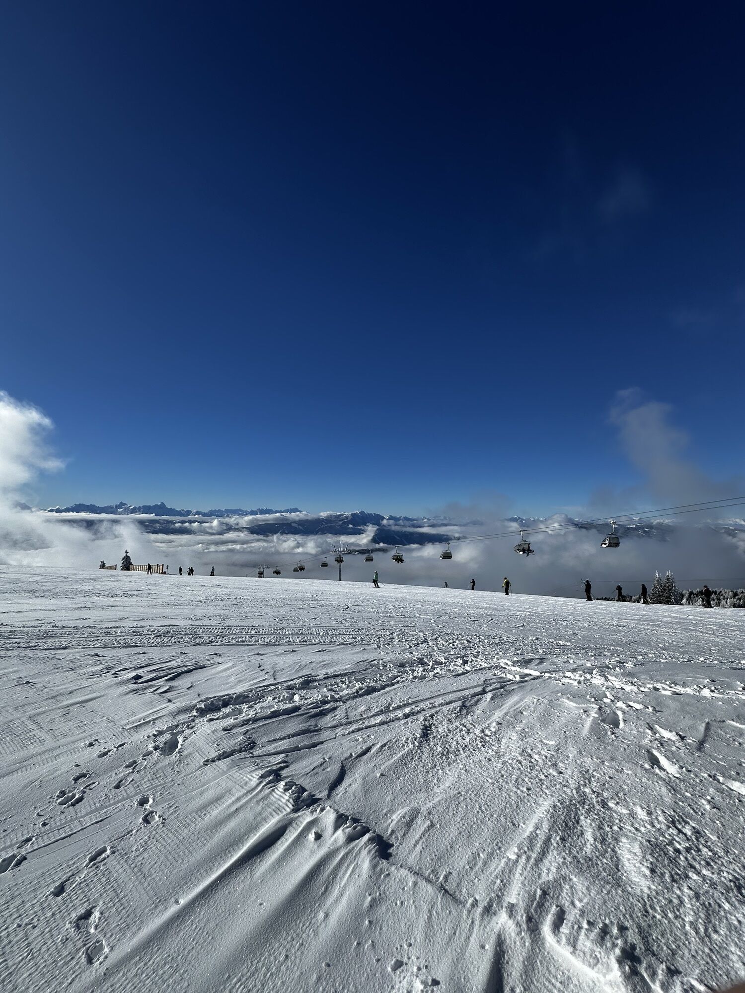
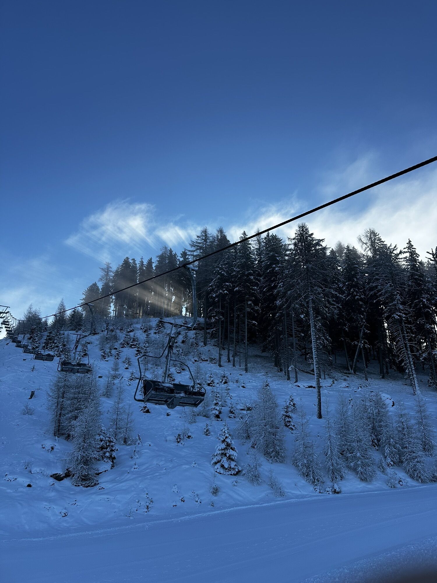
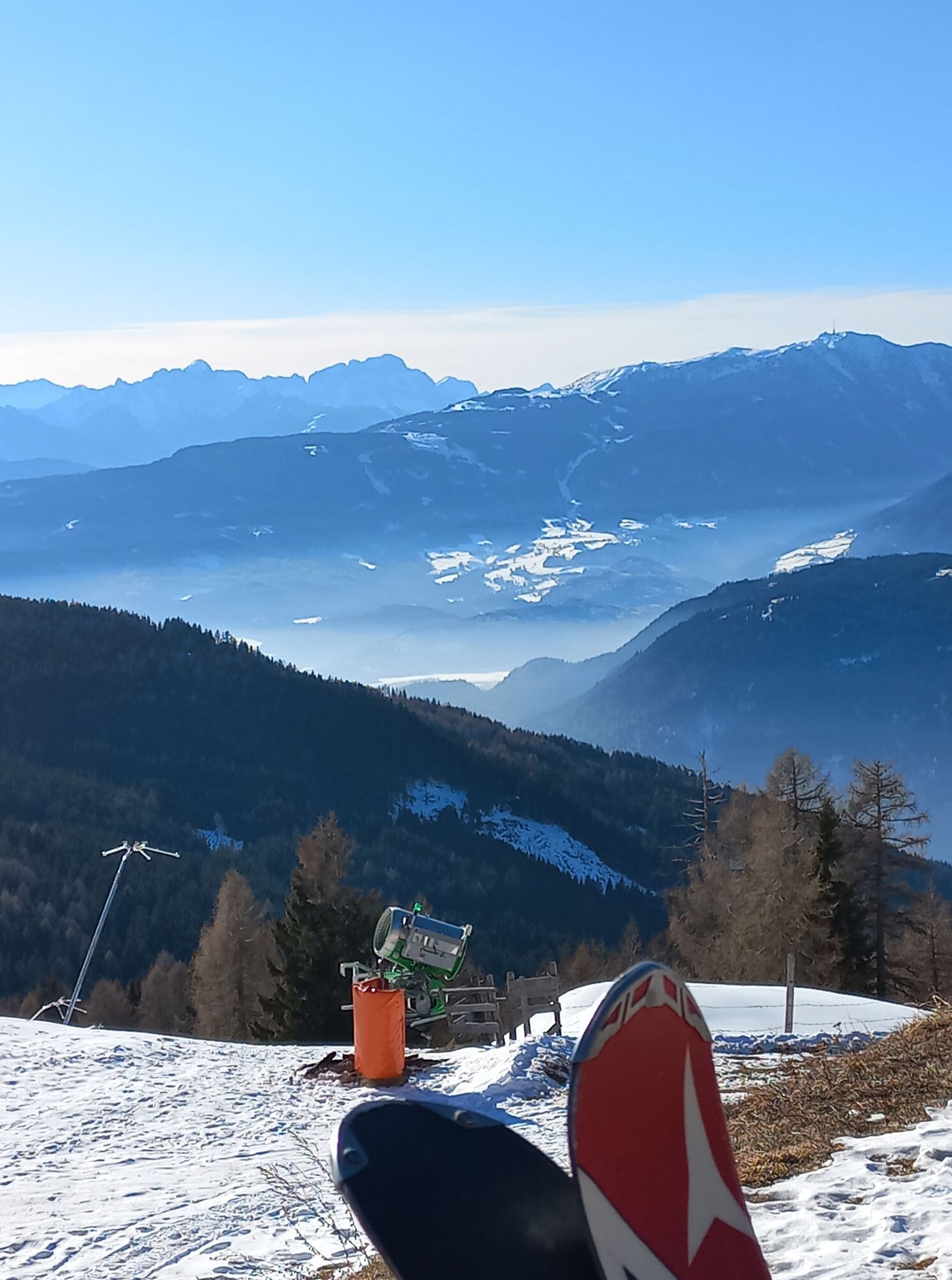
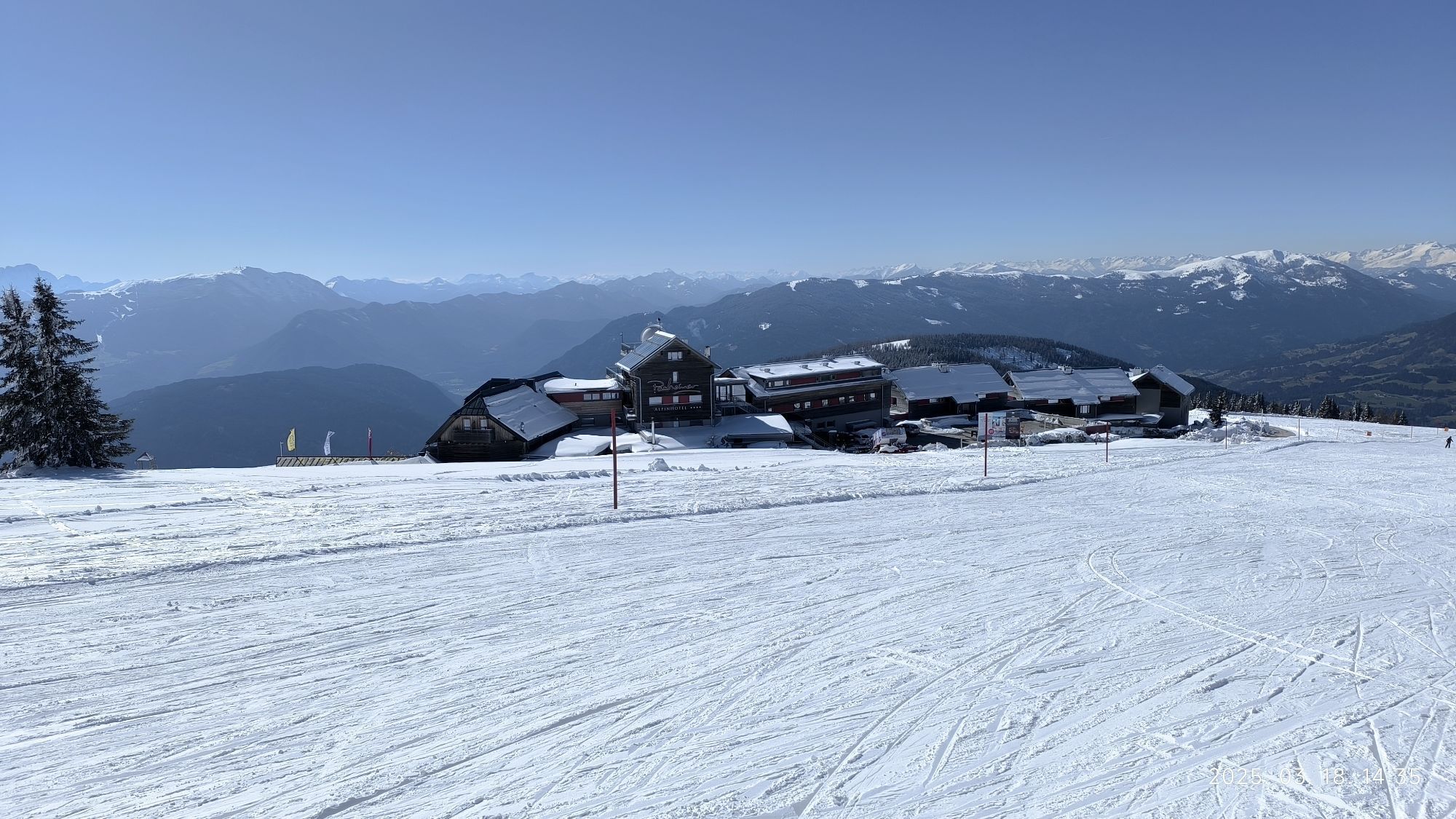
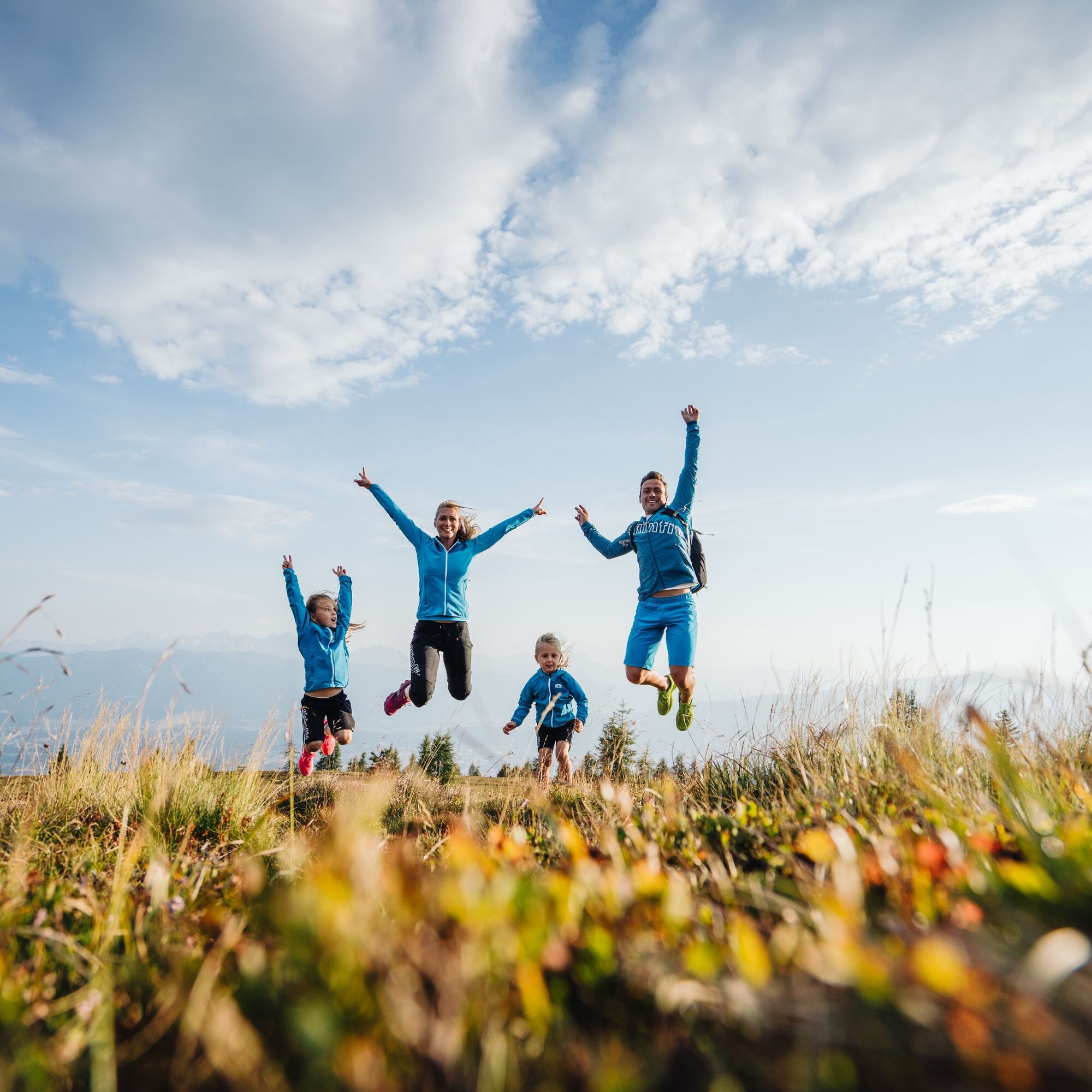
This hike is an easy walk, suitable for families with children and beginners. There is guaranteed no ascent to master. At the nearby Adventure Park Gerlitzen, you can end the hike with a little adrenaline kick.
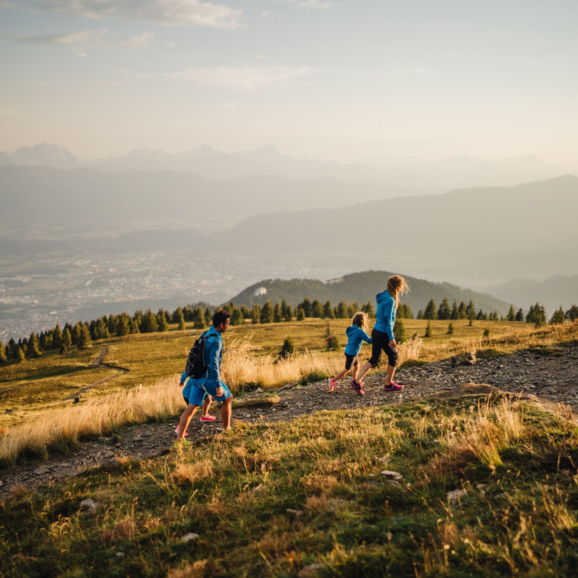
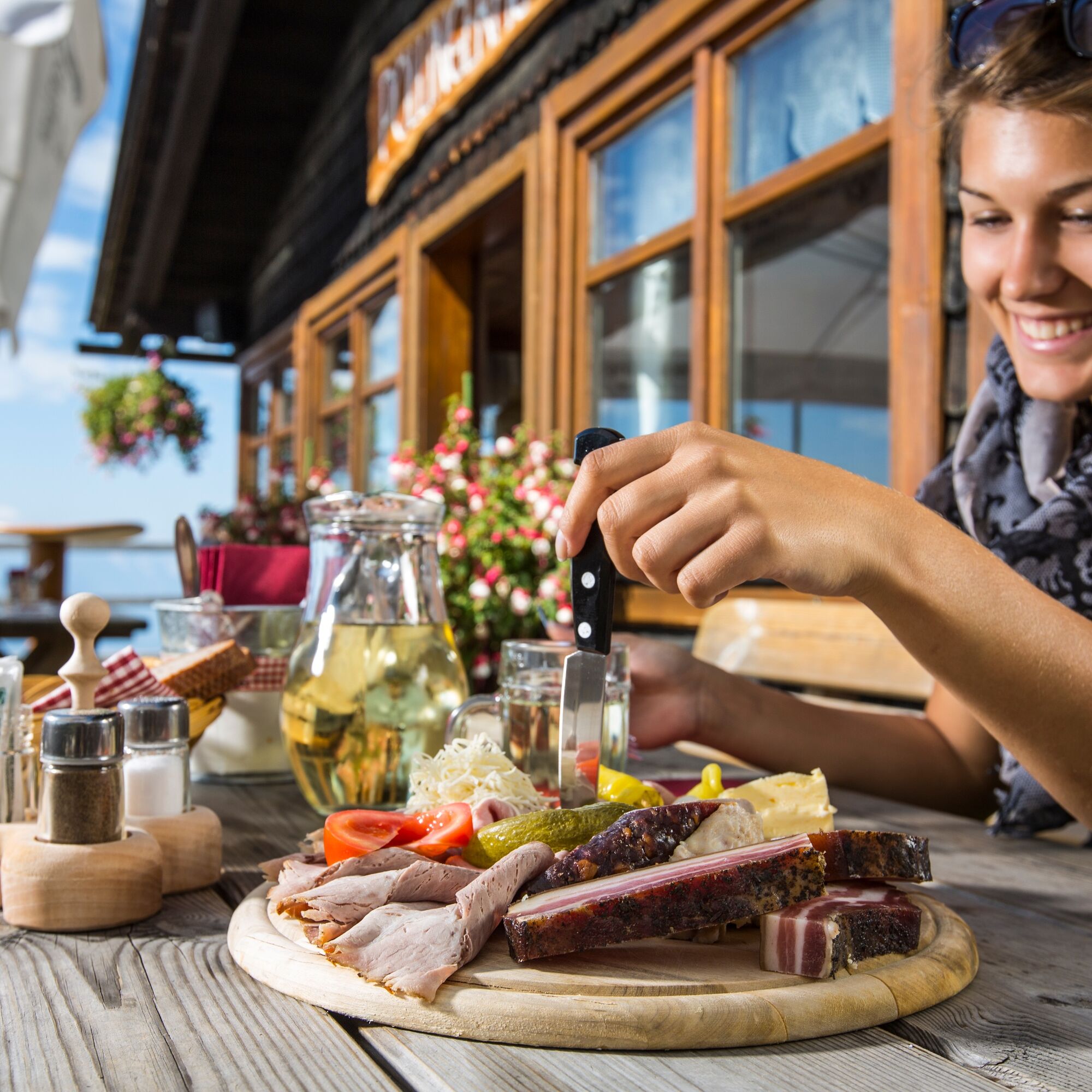
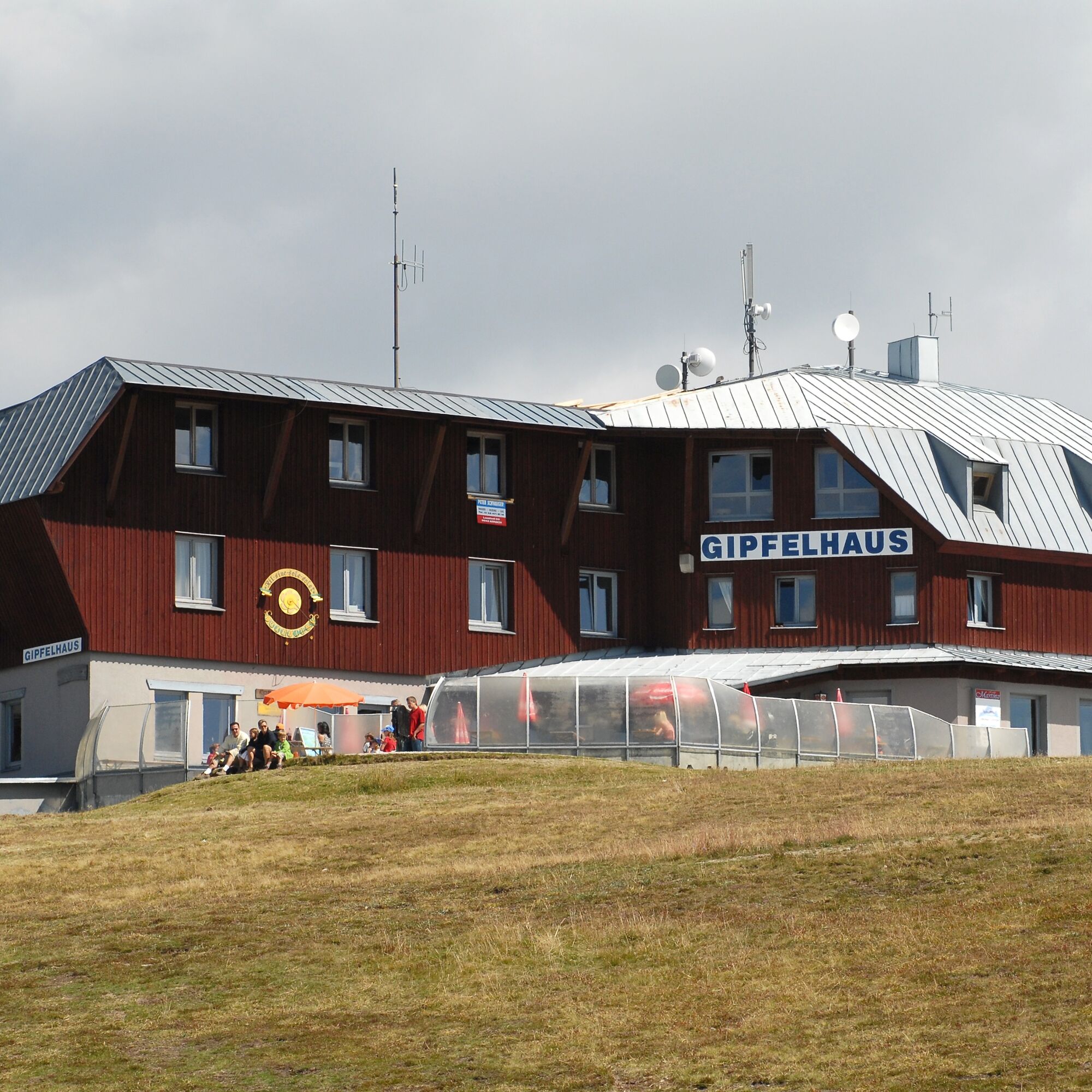
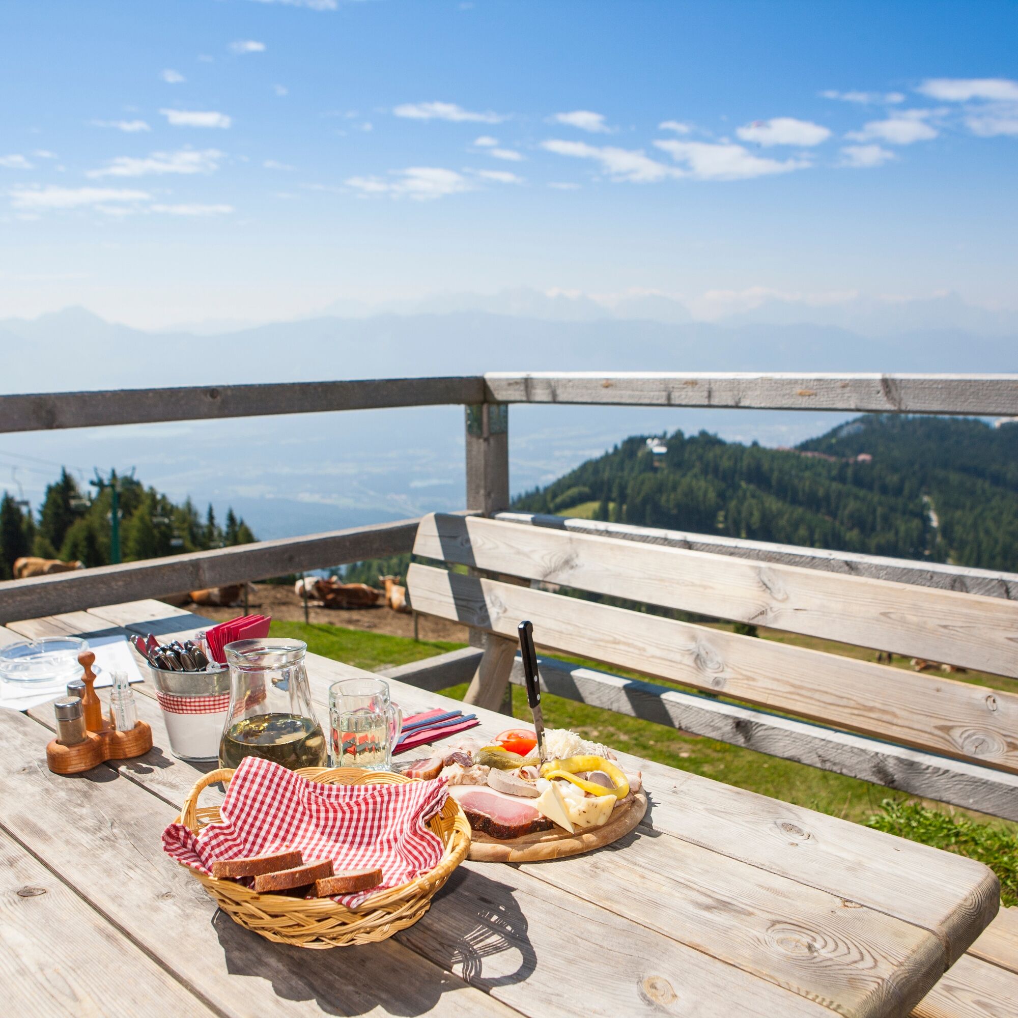

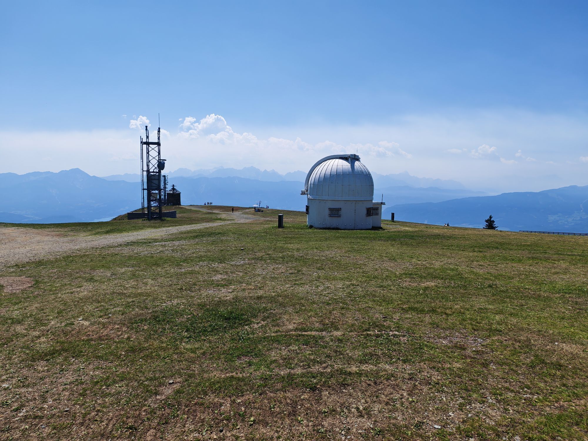
From the top station of the Gerlitzen summit cable car you go over the flat mountain ridge (trail no. 6) past the English Tower (Observatory) to the German Tower (Stone Tower) with the architecturally special viewing platform. Here, stay on the right at the same elevation, cross the slope to the Alpengasthof Pacheiner and there enter the path to the Pöllinger Hut (trail no. 176). Essentially, the path leads always downhill in the piste area to the Pöllinger Hut. The sun-drenched terrace invites your thighs for a culinary break before it goes via the steeper piste path (trail no. 52) and the Waldtratte to the top station of the Kanzelbahn.
Tak
Tak
Light hiking shoes with tread sole, backpack, functional underwear, rainwear, hiking poles, food and drink, maps, first aid, mobile phone
Annenheim is best reached via the A10 exit "Villach-Ossiacher See". From there, take the Gerlitzen Kanzelbahn up to the summit.
Annenheim is regularly accessible by public transport.
There are plenty of parking spaces available in the valley area.
Region Villach Tourism
+43 4242 42000
www.visitvillach.at
Take advantage of the great culinary offerings on the Gerlitzen.


Kamery internetowe z trasy
Gerlitzen Gipfel
Gerlitzen Gipfel
Gerlitzen Gipfel
Gerlitzen Gipfel
Annenheim/Ossiacher See
Gerlitzen Gipfel
Bergstation Pöllingerbahn 1.660m (250hm/ca. 45min leicht wanderbar zum Gipfel)
Gerlitzen Mittelstation Kanzelhöhe
Gerlitzen Mittelstation Kanzelhöhe
Gerlitzen Mittelstation Kanzelhöhe
Gerlitzen Mittelstation Kanzelhöhe
Hotel SeeRose
Gerlitzen - Klösterle Obere Sektion
Kinderland Kanzelbahn (1.440m)
Ossiacherberg
Klösterle Talstation
Neugarten Talstation 8er-Carving-Jet
Bodensdorf am Ossiacher See
Bodensdorf am Ossiacher See
Uzyskaj wgląd Zawsze na żywo z ponad 9 500 kamer internetowych. bergfex Jako użytkownik Pro, możesz teraz zobaczyć odpowiednie kamery internetowe dla wielu wycieczek w aplikacji wycieczki od. Pozwala to na bezpośredni podgląd aktualnych warunków. 
Popularne wycieczki w okolicy
- 4,7
4 Huts route
średniWędrówka 8,96 km - 4,5
Hoher Gallin route
średniWędrówka 7,09 km - 5,0
Amberg: Palnock 1901m, Schwarzsee, Rundstrecke
średniWędrówka 7,94 km - 4,4
Lake circular trail
światłoNordic Walking 9,85 km - 4,3
Finsterbach Waterfalls - Circular route
średniWędrówka 3,87 km - 4,2
Schwarzsee circular hiking trail
średniWędrówka 7,79 km - 4,1
Slow Trail Bleistätter Moor (Variant A)
światłoWędrówka 7,22 km - 4,9
Skitour: FIS K70, Auf Franz Klammers Spuren
średniWycieczka narciarska 11,3 km - 4,0
Lake Ossiacher See cycle path – R2 & R2A
średniJazda na rowerze 28,2 km - 4,2
Gerlitzen - Hüttersteig
ciężkiWędrówka 6,80 km
Wędrówki i tropienie


Nie przegap ofert i inspiracji na następne wakacje
Twój adres e-mail została dodana do listy mailingowej.





