


4 Huts Tour


This beautiful hiking tour connects numerous huts on the west and south sides of the Gerlitzen Alpe. The first part of the hike can also be done with an all-terrain pram.

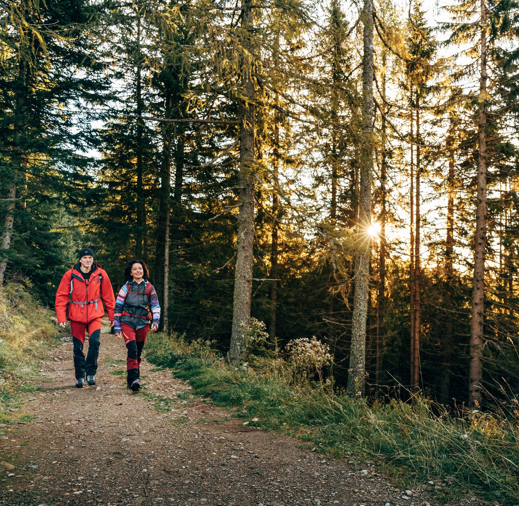
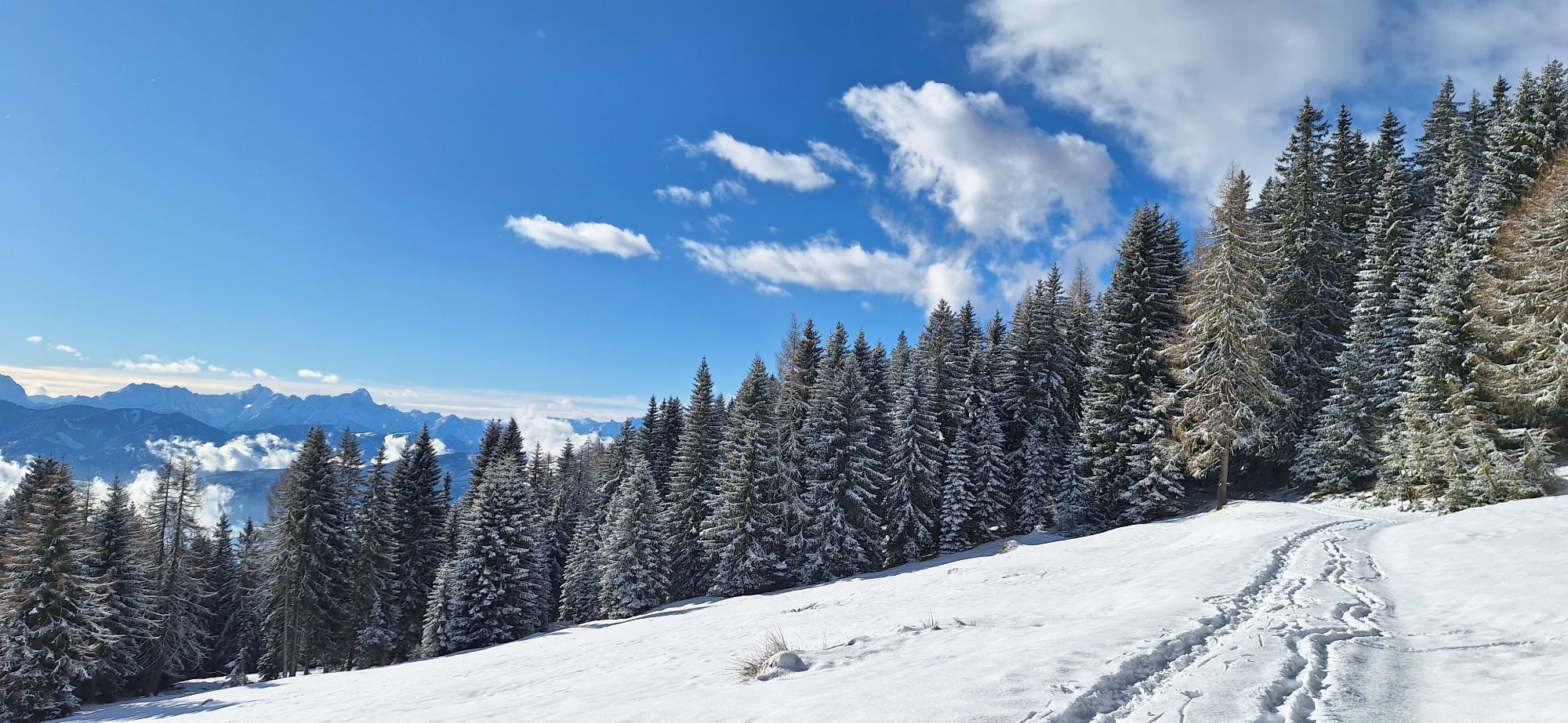
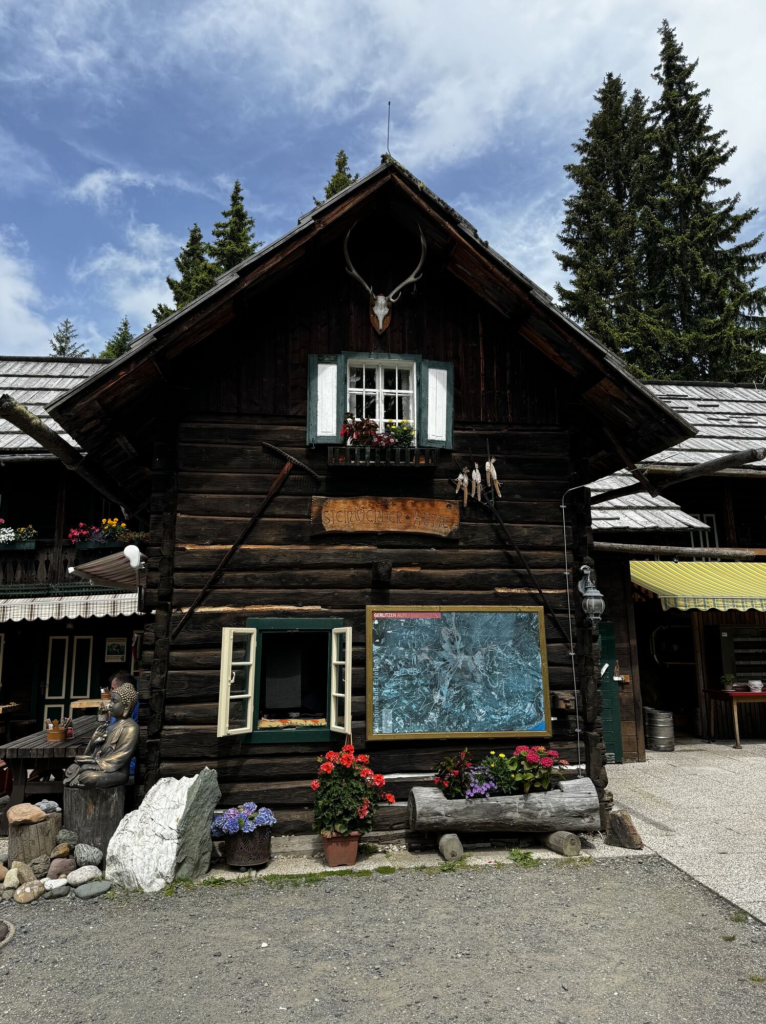
SStarting from theKanzelbahn mountain station, follow the signs (path no. 31) after a few meters, passing a reservoir in the direction of the Steinwenderhütte. The wide forest path leads to the Steinwenderhütte without any notable differences in altitude and is also suitable for families with prams.
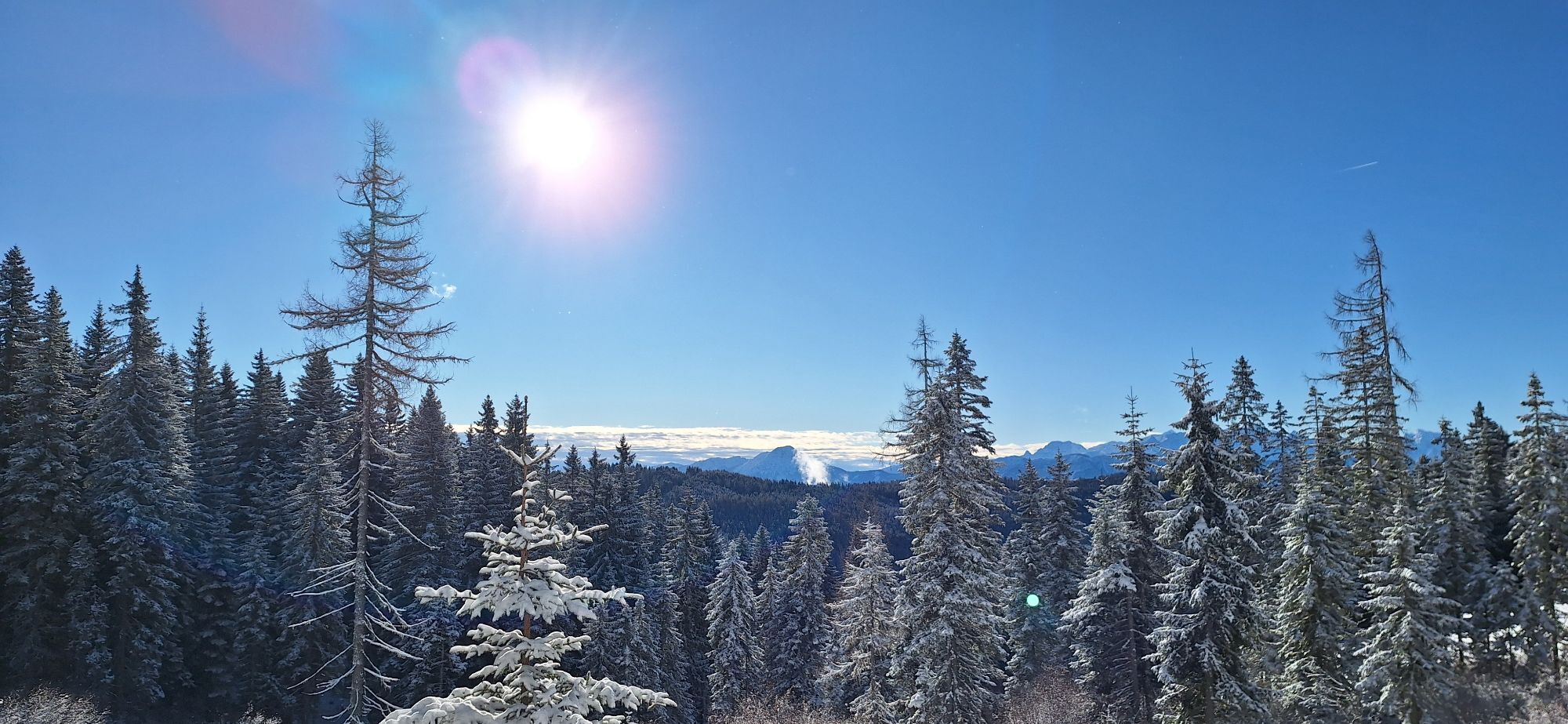
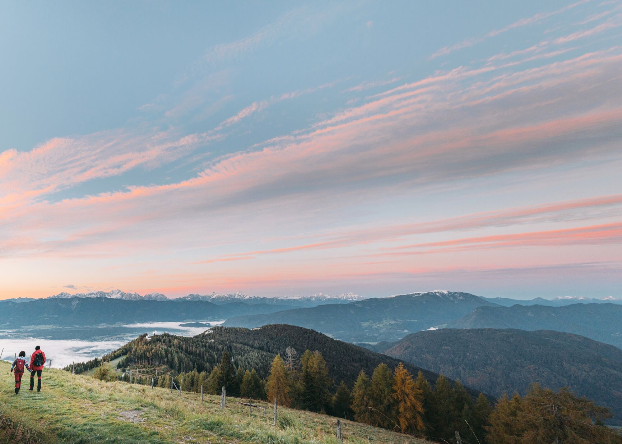
From the Steinwenderhütte the further path (path no. 177) leads over a picturesque alpine meadow, ascending into the surrounding forests before the panoramic Schlossbauer Alm den view of the Villach - framed by the mountain ranges to the south such as the Karawanken and the Julian Alps. Alternatively, if you want, you can also climb up from the Steinwenderhütte to the "Steinernen Tisch" - once a resting place for hunters, forest workers and keepers - and then hike to the Schlossbauer Alm.
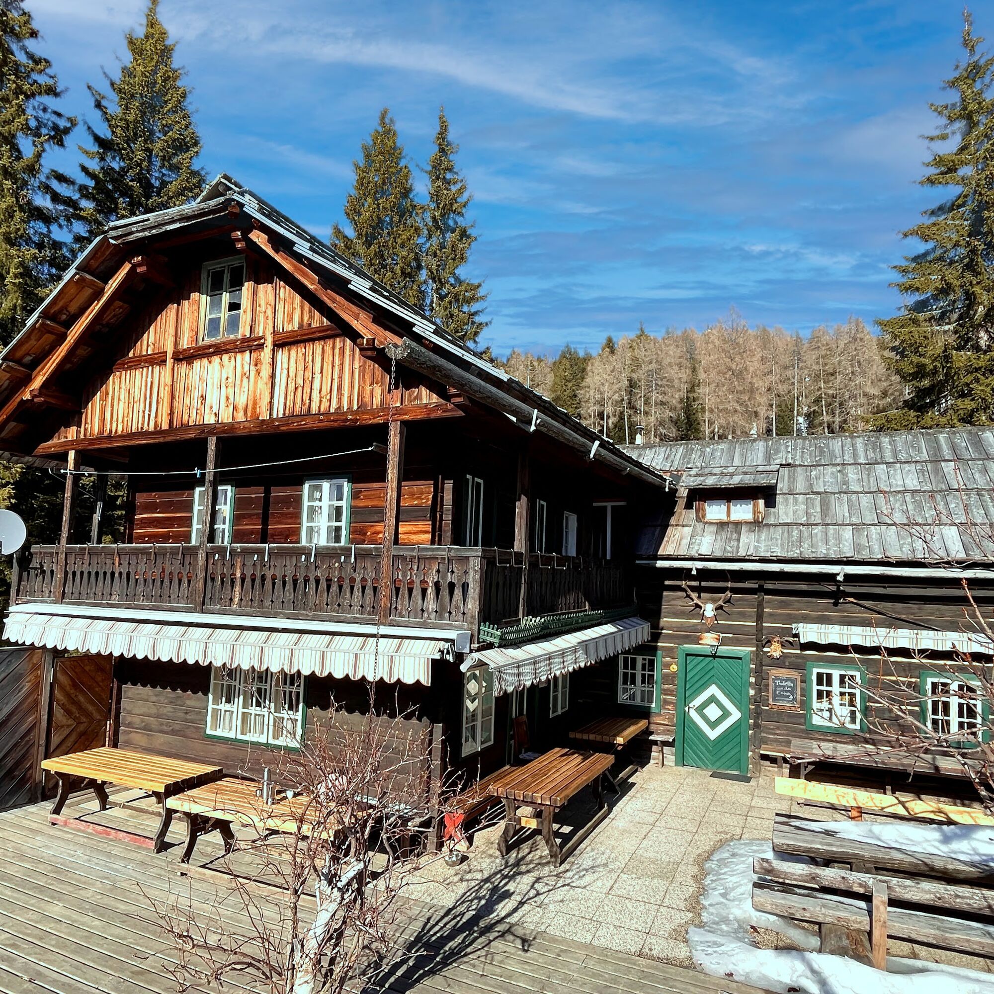
After the Schlossbauer Alm you cross another pasture - the Baumgartner Alm - which is used by cows in summer is besieged. A few minutes later you reach the Kammerhütte.
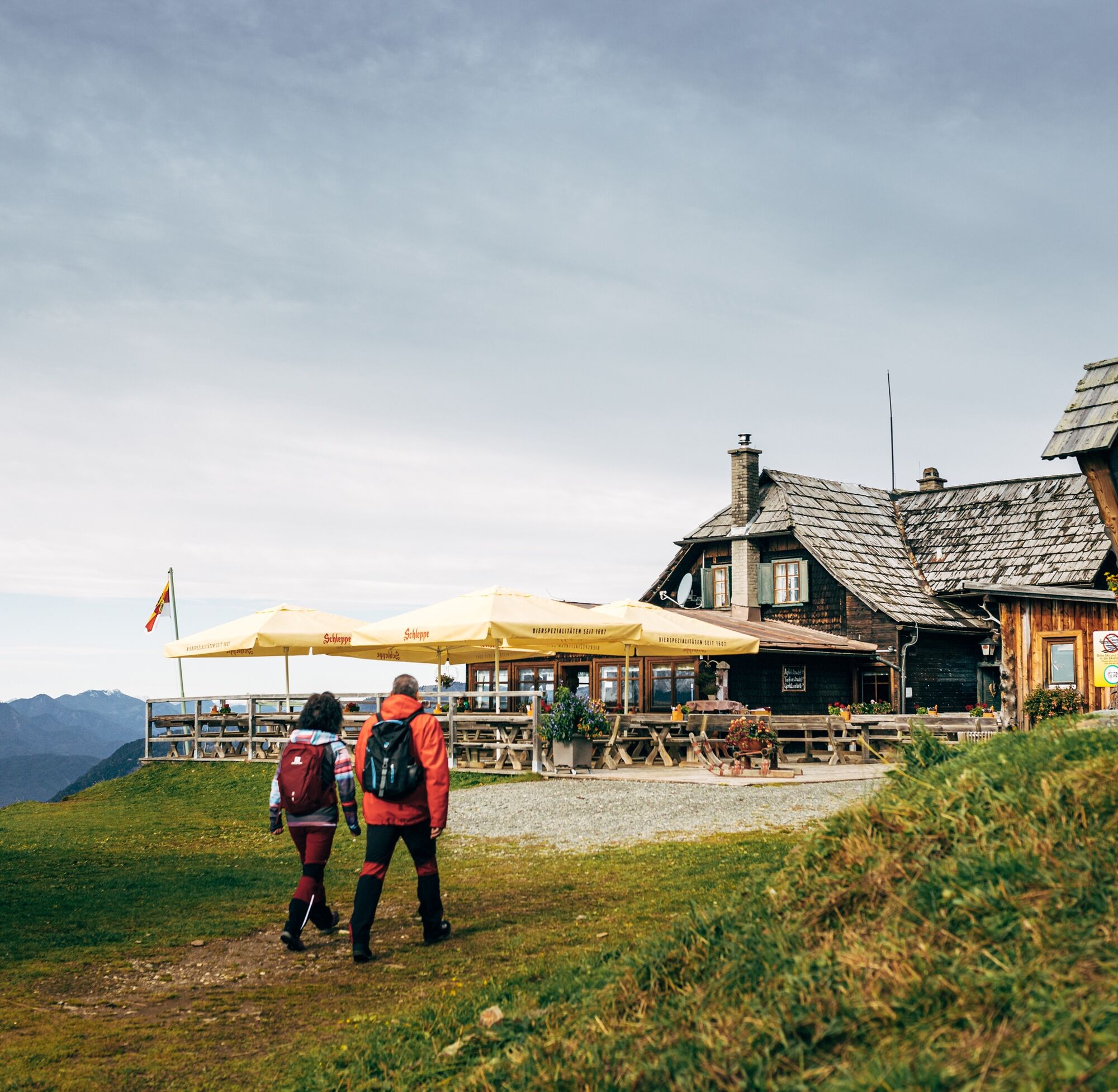
Follow the road below the Kammerhütte (trail no. 41), descending slightly towards the Kanzelbahn mountain station until you reach the Turnerhütte junction. Over a few wooden steps you now descend somewhat more steeply to the Turnerhütte (path no. 43), which is no longer used as a refreshment stop. Continue along the road until you reach a large crossroads and then continue slightly uphill to the Pöllinger Hütte, the highest point of the tour.
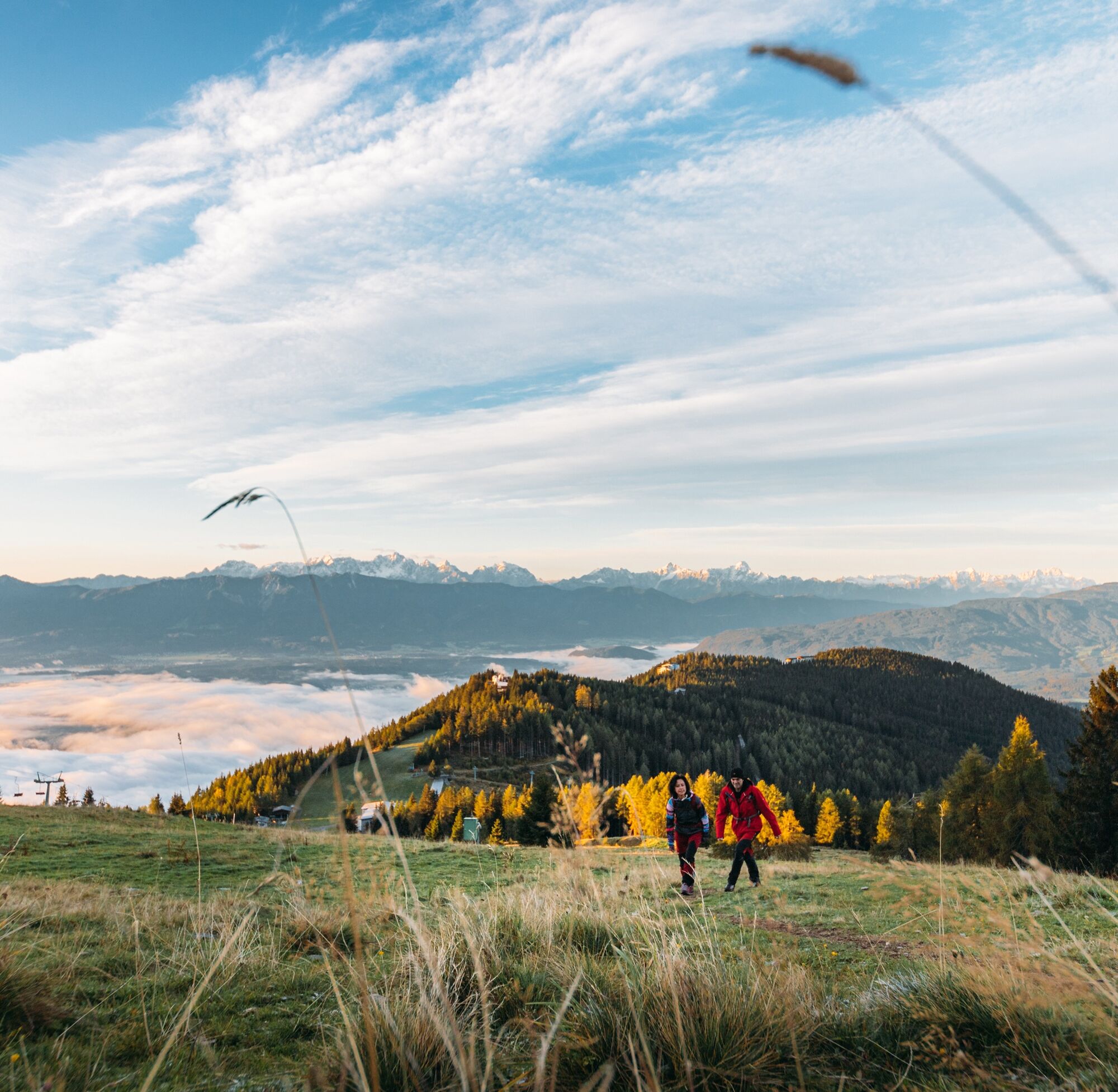
The suggested tour leads on the right edge of the piste over a meadow trail to the Waldtratte and from there to the Sunn Alm the last stop at the Kanzelbahn mountain station.
Trekking shoes with treaded soles, backpack, functional underwear, rainwear, hiking sticks, food and drink, maps, first aid and a mobile phone.
Annenheim can best be reached via the A10 exit "Villach-Ossiacher See". From there you take the Gerlitzen Kanzelbahn up to the mountain station of the Kanzelbahn cable railway.
Annenheim can be reached at regular intervals by public transport.
Click here for timetable information.
There are enough parking spaces available near the valley station.
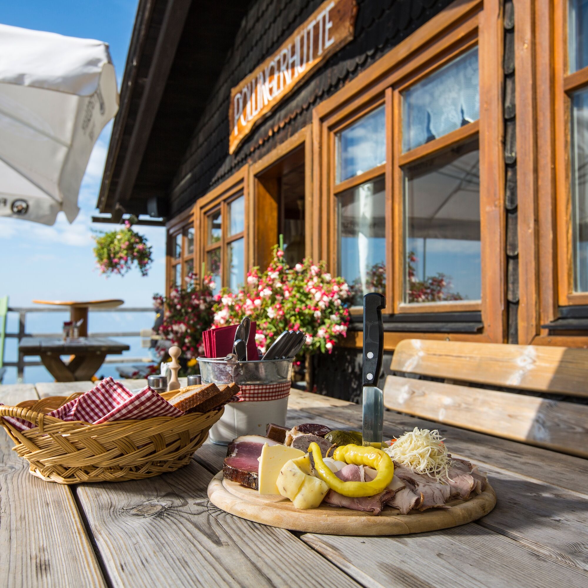
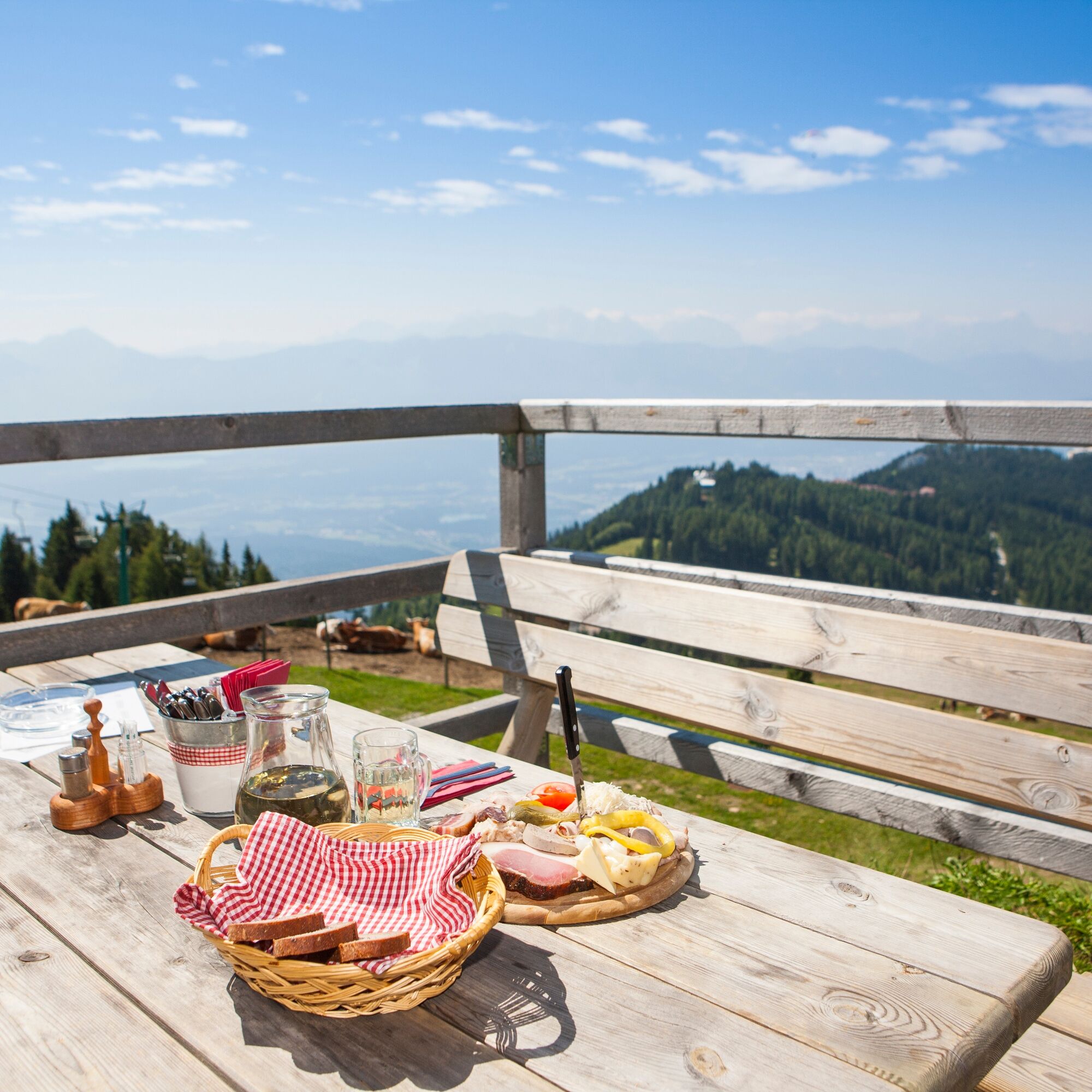
Take your time to stop at every hut on the way and try our their specialities.
Kamery internetowe z trasy
Gerlitzen Gipfel
Gerlitzen Gipfel
Gerlitzen Gipfel
Gerlitzen Gipfel
Annenheim/Ossiacher See
Gerlitzen Gipfel
Gerlitzen Mittelstation Kanzelhöhe
Gerlitzen Mittelstation Kanzelhöhe
Gerlitzen Mittelstation Kanzelhöhe
Gerlitzen Mittelstation Kanzelhöhe
Observatorium Kanzelhöhe
Observatorium Kanzelhöhe
Observatorium Kanzelhöhe
Observatorium Kanzelhöhe
Observatorium Kanzelhöhe
Observatorium Kanzelhöhe
Observatorium Kanzelhöhe
Observatorium Kanzelhöhe
Arriach
Ossiacherberg
Neugarten Talstation 8er-Carving-Jet
Bodensdorf am Ossiacher See
Bodensdorf am Ossiacher See
Popularne wycieczki w okolicy
- 4,4
Finsterbach Waterfalls - Circular route
średniWędrówka3,87 km - 3,9
Faakersee Rundweg
światłoWędrówka9,55 km - 3,3
Around Lake Ossiach
średniJazda na rowerze68,7 km - 3,8
Lake Ossiach cycle path - R2 and R2A
średniJazda na rowerze28,2 km - 4,0
Slow Trail Bleistätter Moor
światłoWędrówka7,22 km - 4,4
Panorama trail Schwarzsee - Palnock
średniWędrówka11,9 km - 3,9
Schwarzsee circular hiking trail
średniWędrówka7,79 km - 4,4
E-Bike Route "Wörthersee - Ossiacher See"
średniJazda na rowerze46,7 km - 4,5
Traumbogen Circuit
światłoWędrówka4,26 km - 5,0
Amberg: Palnock 1901m, Schwarzsee, Rundstrecke
średniWędrówka7,94 km
Wędrówki i tropienie


Nie przegap ofert i inspiracji na następne wakacje
Twój adres e-mail została dodana do listy mailingowej.