







7-church route
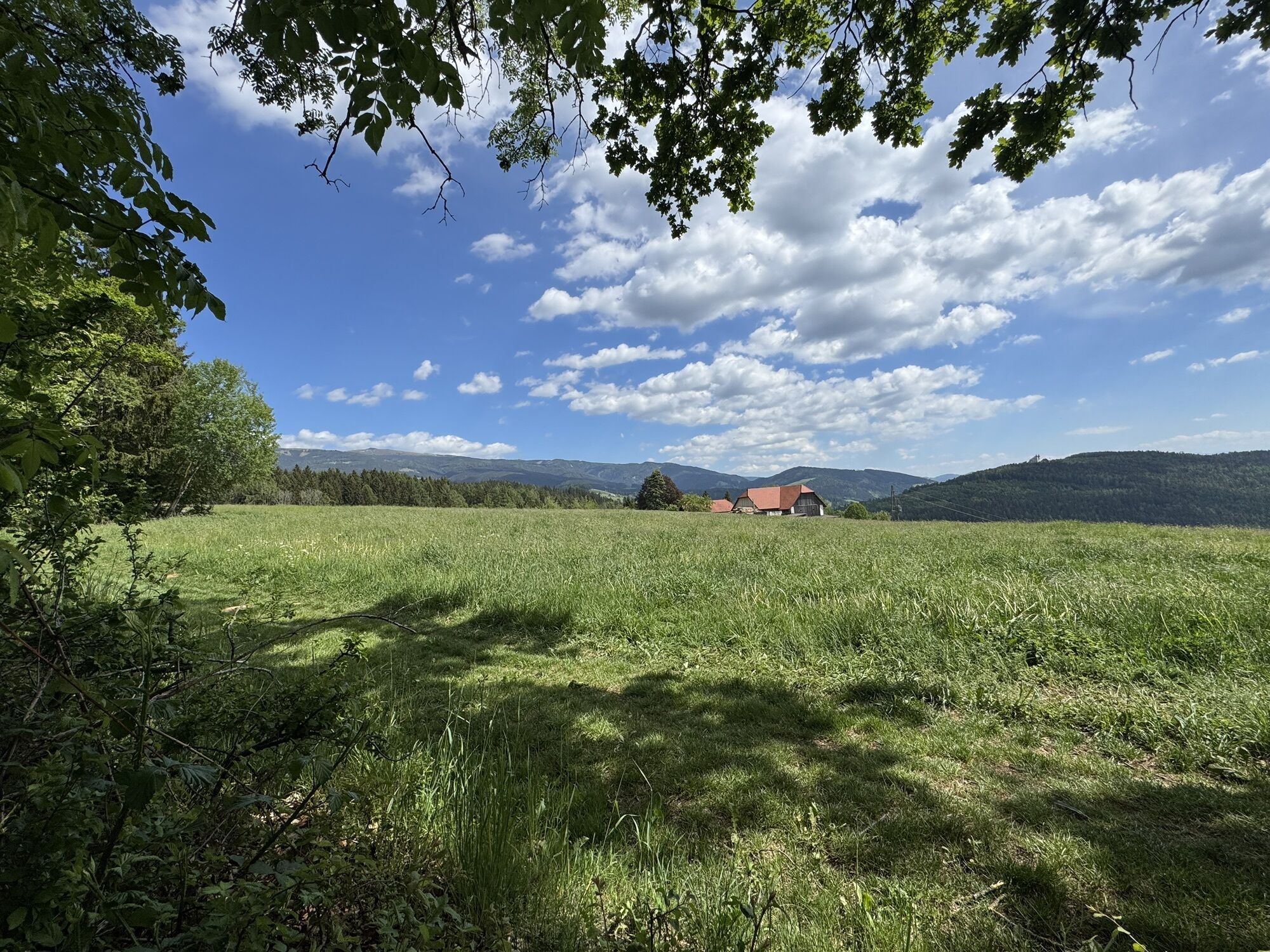
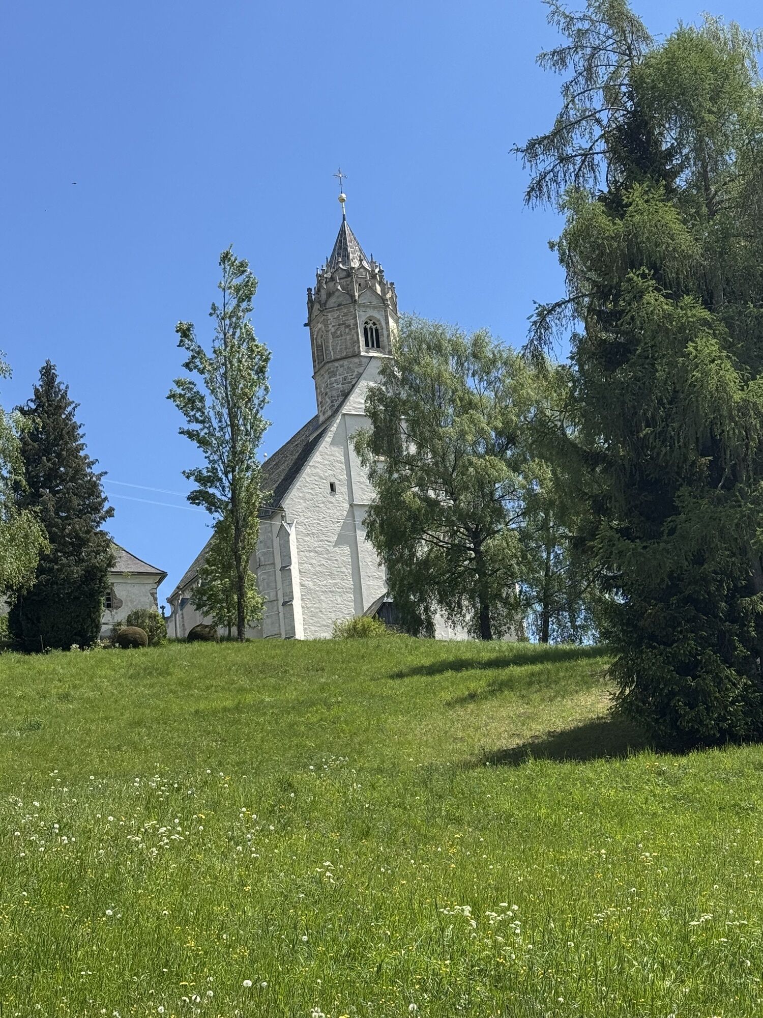
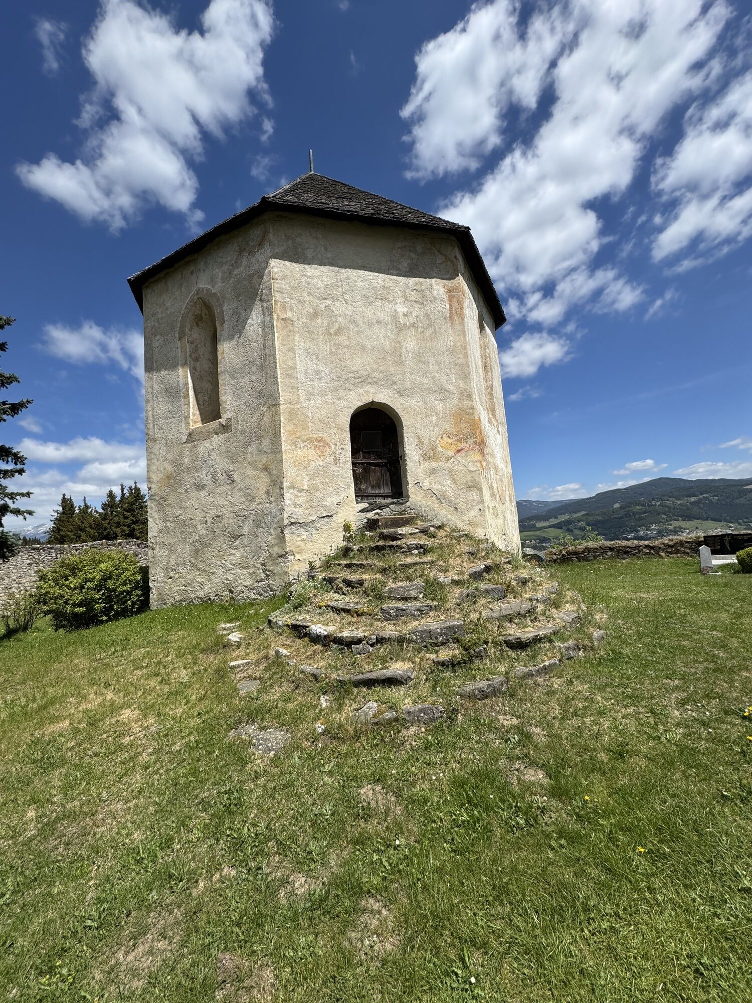
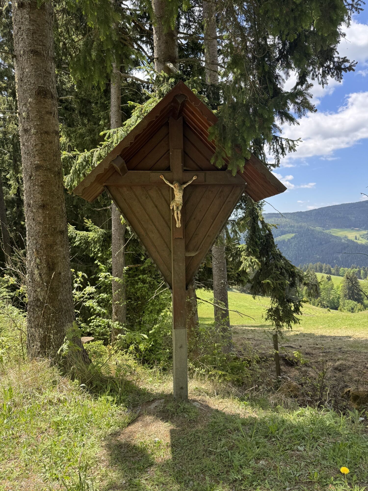

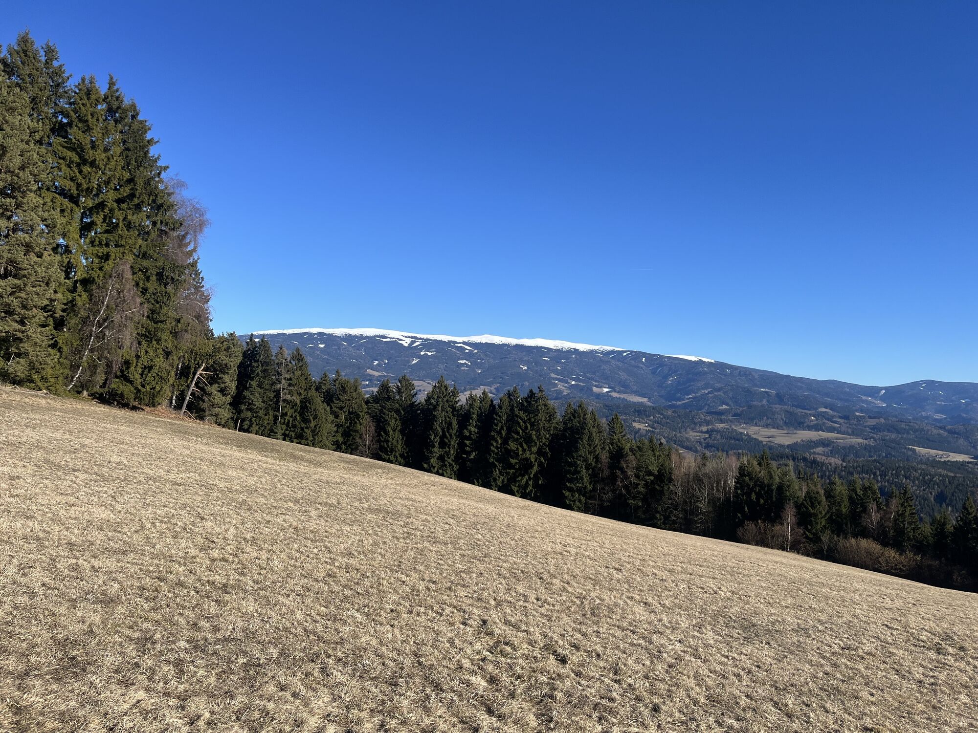
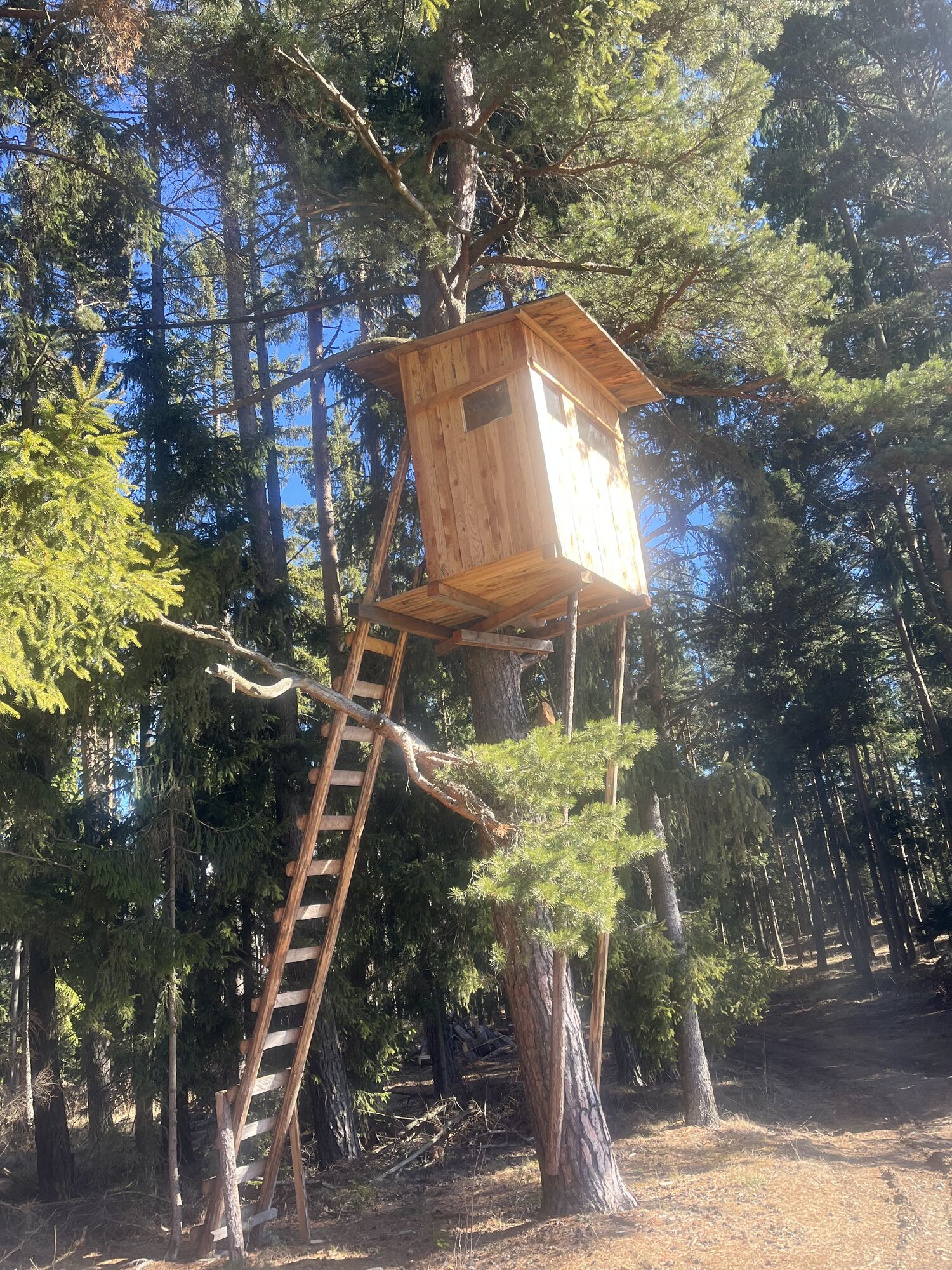
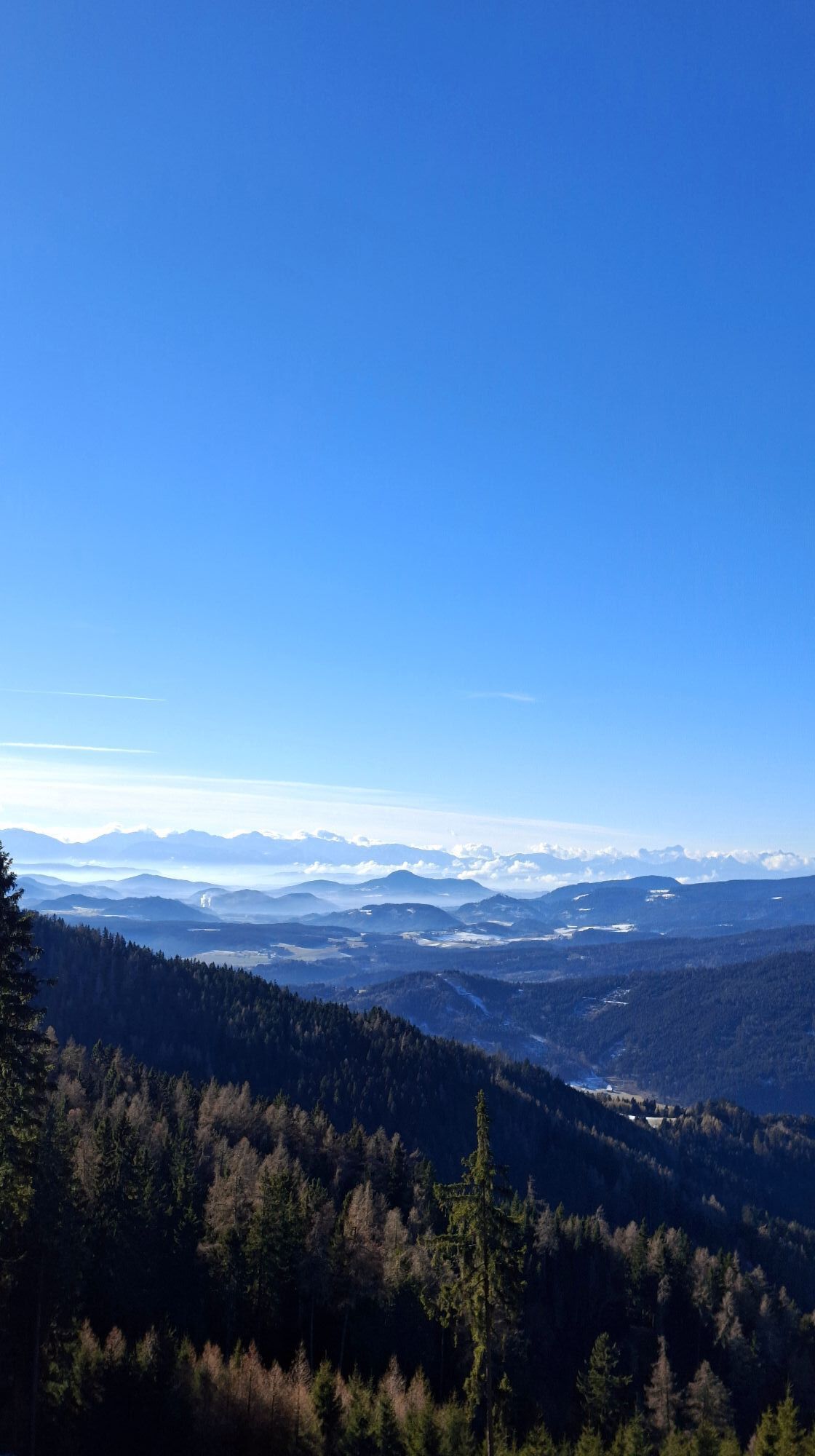
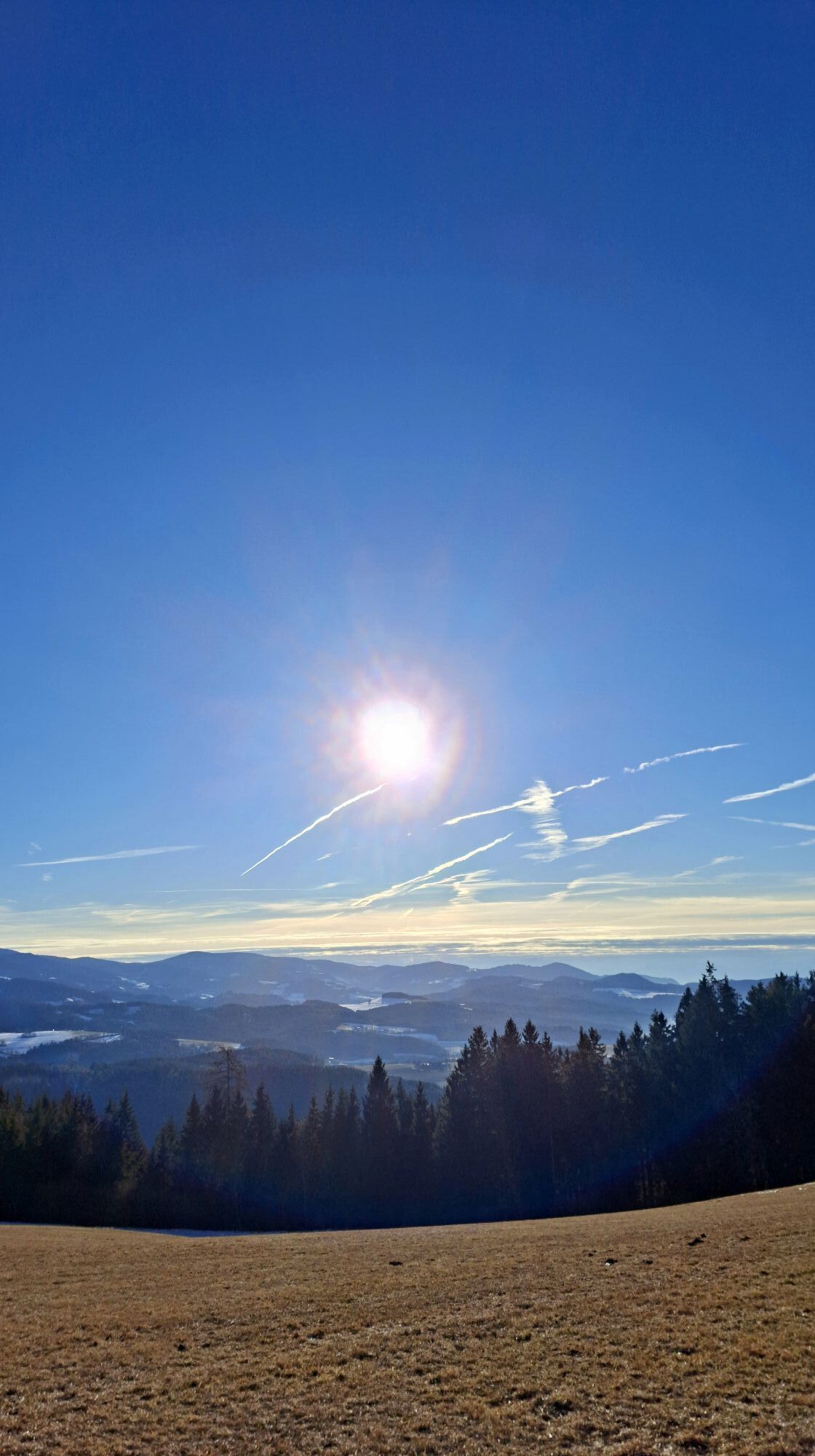
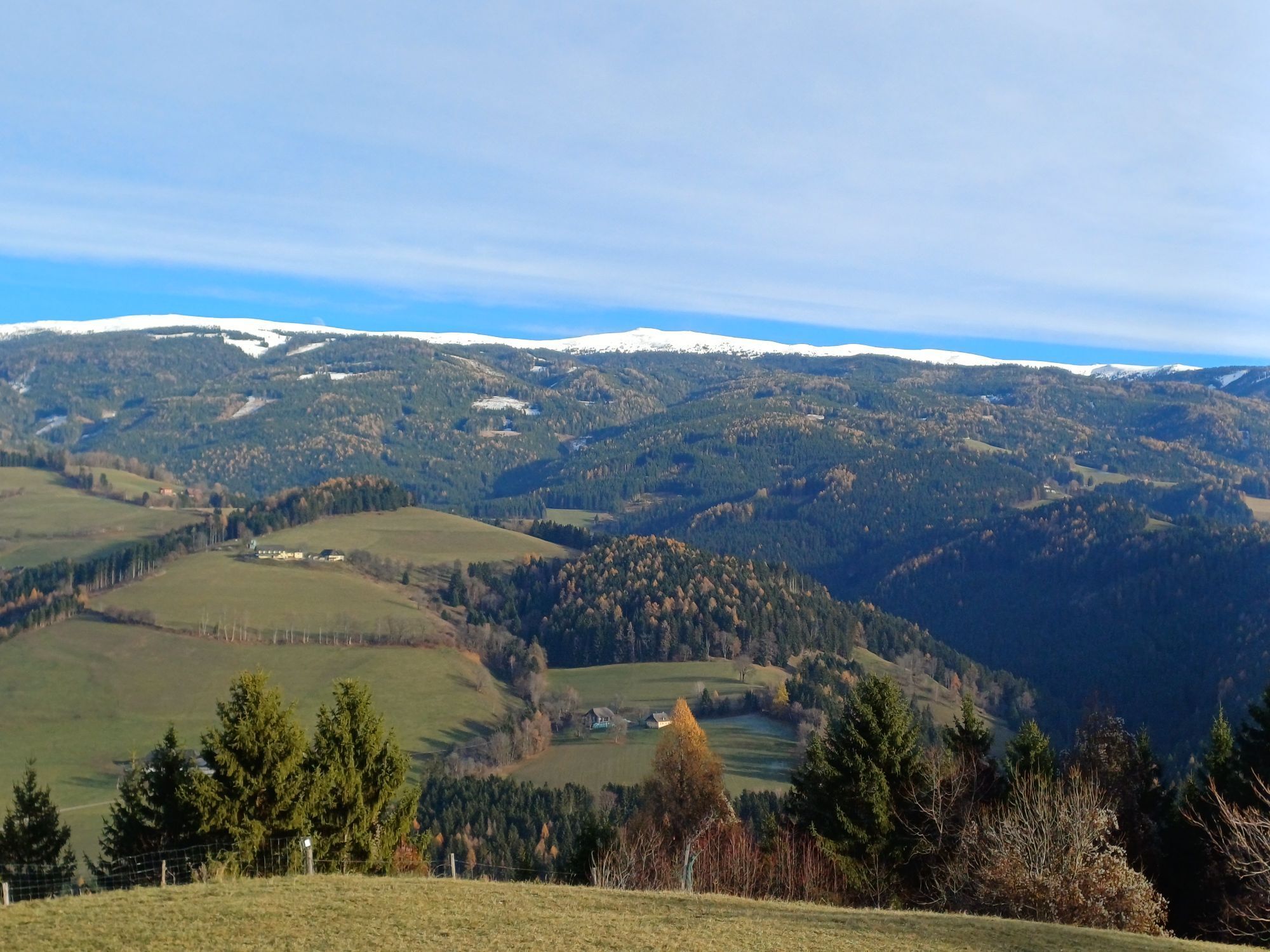

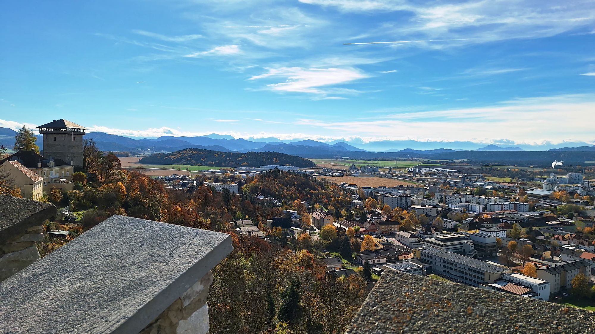
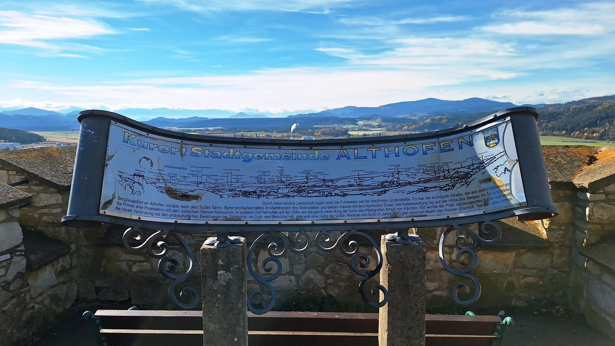
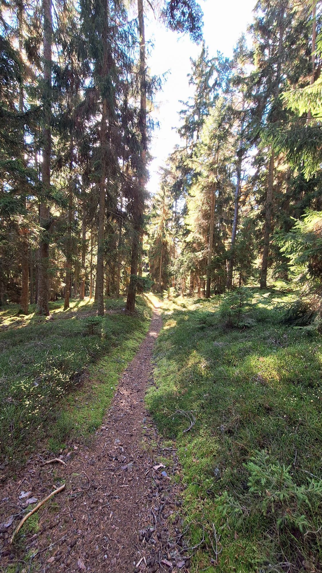
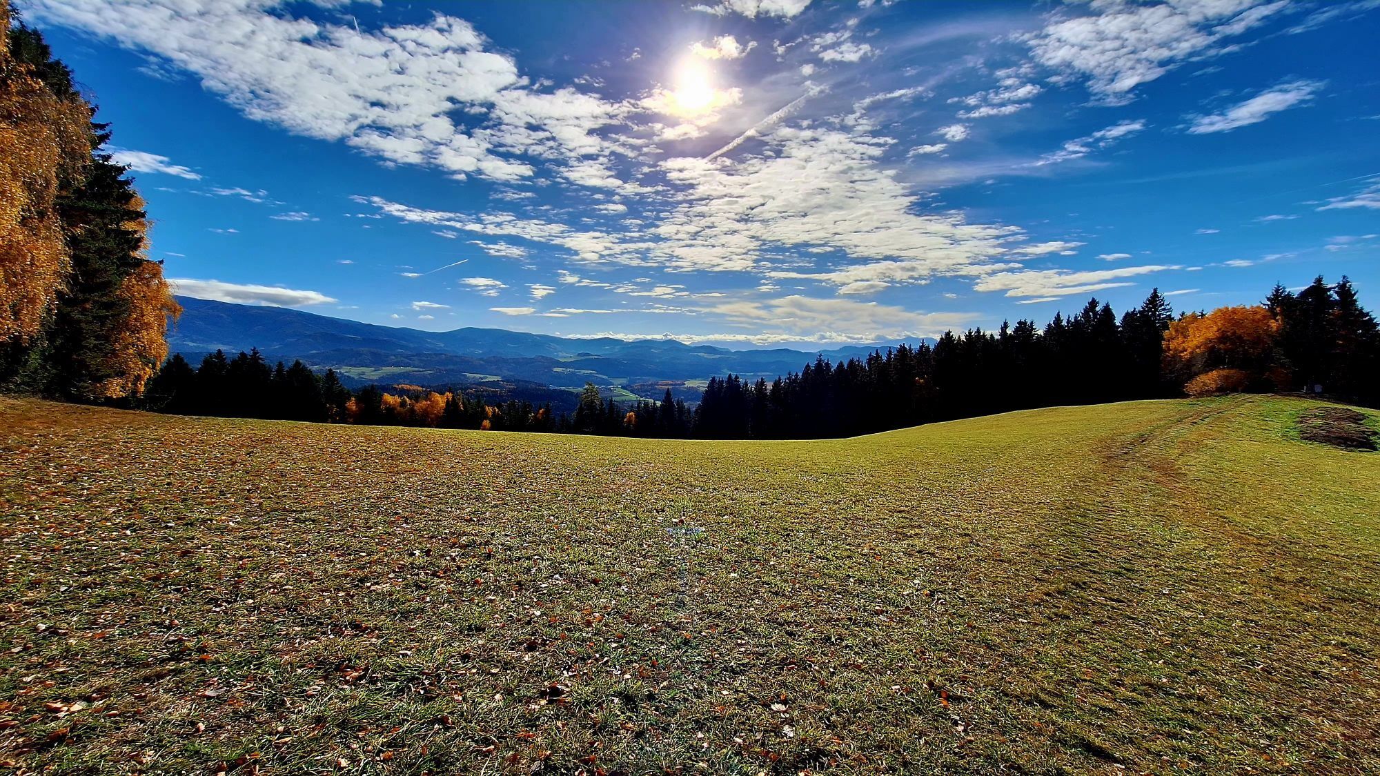
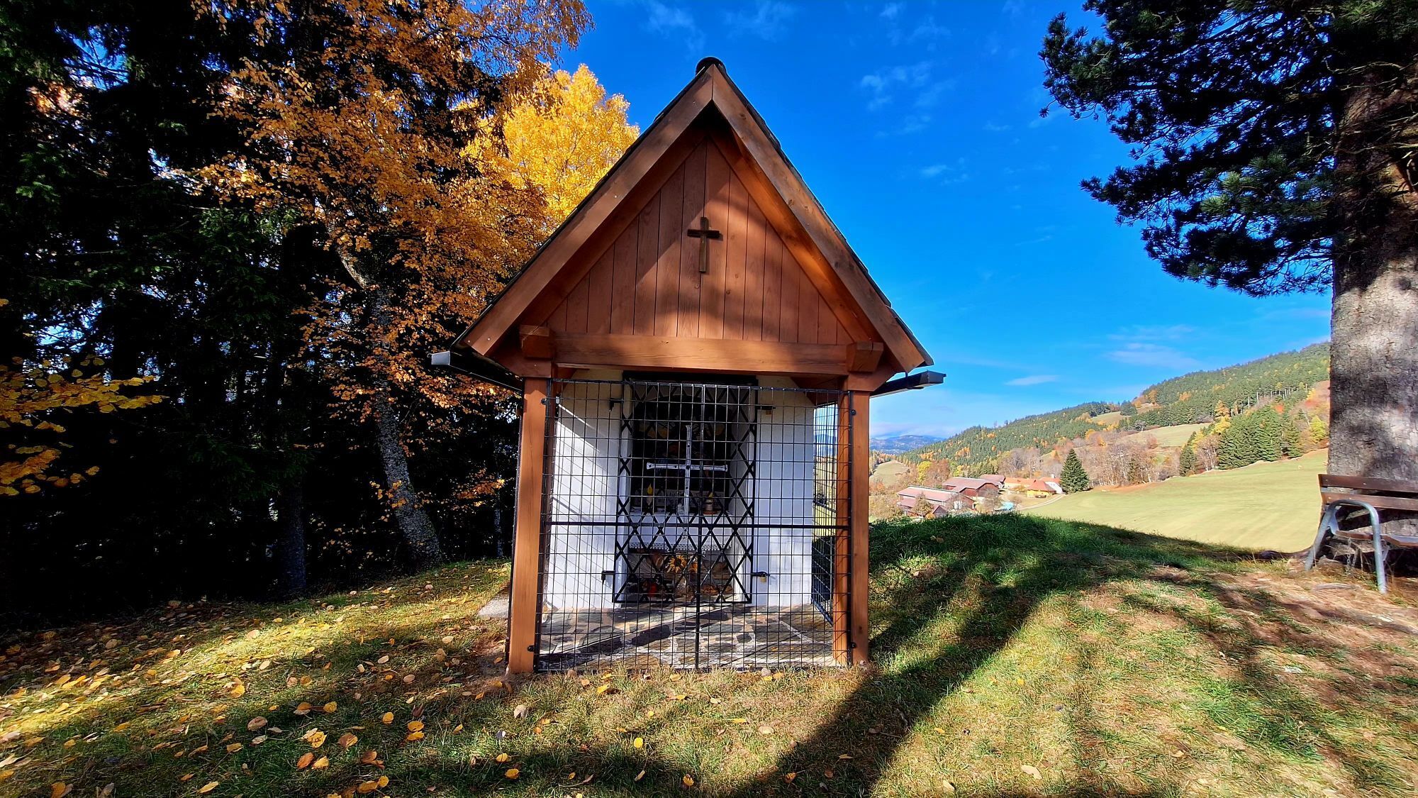
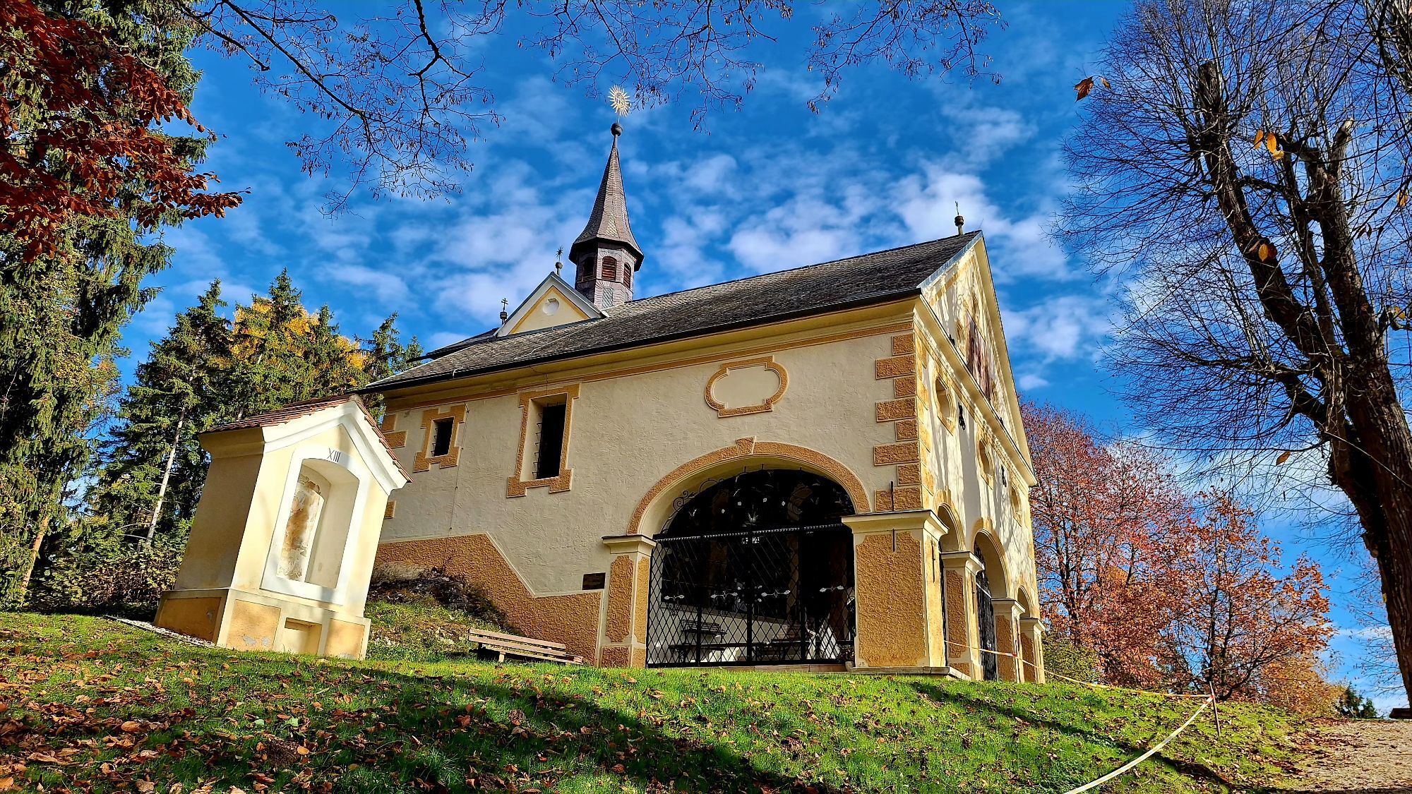
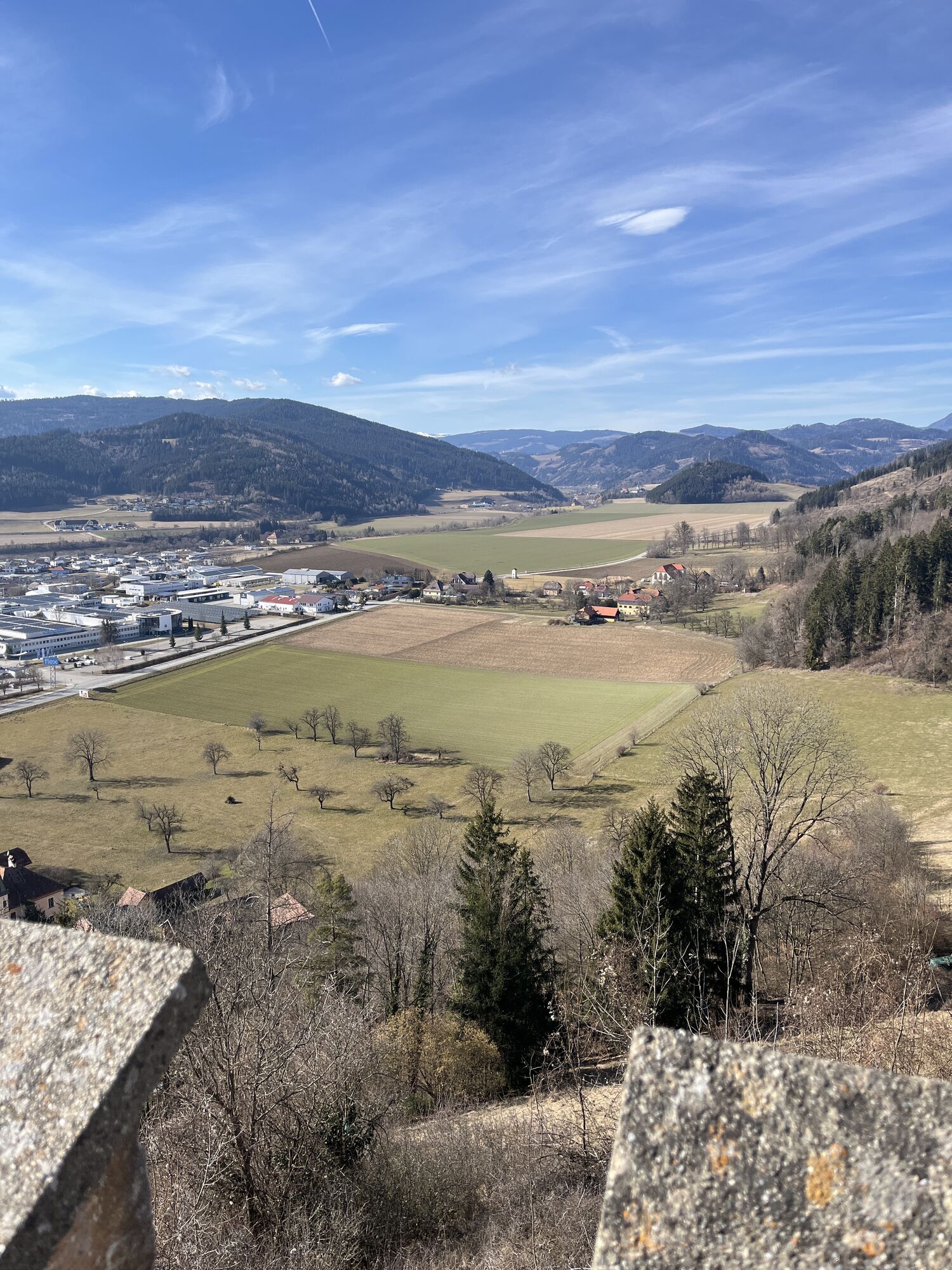
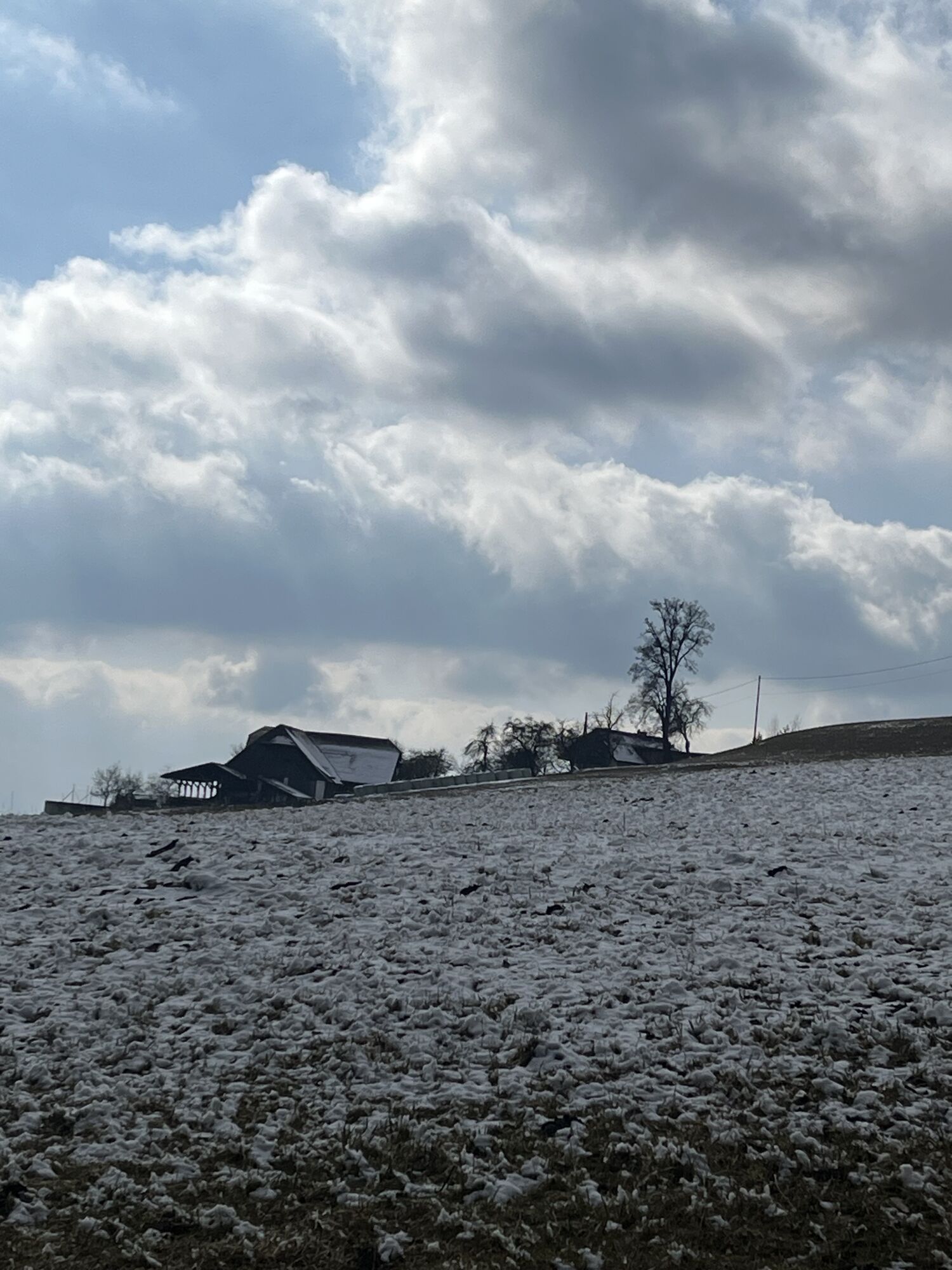
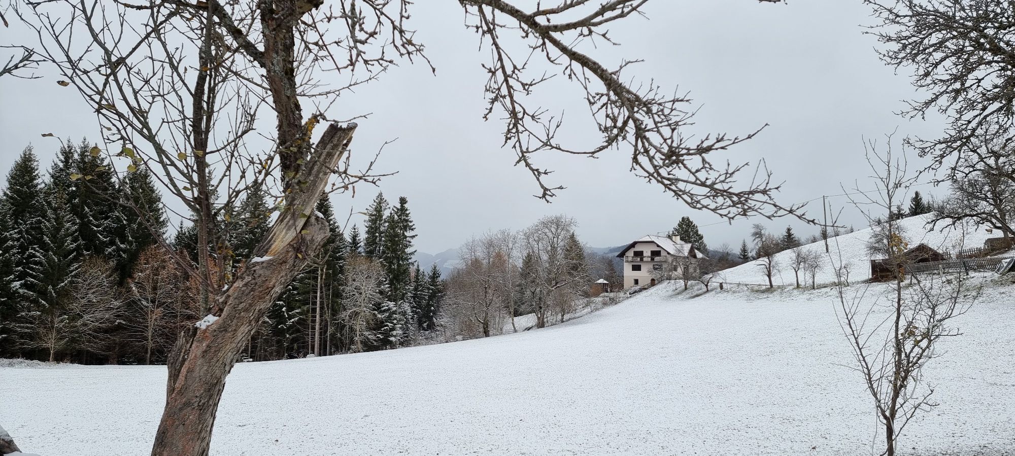
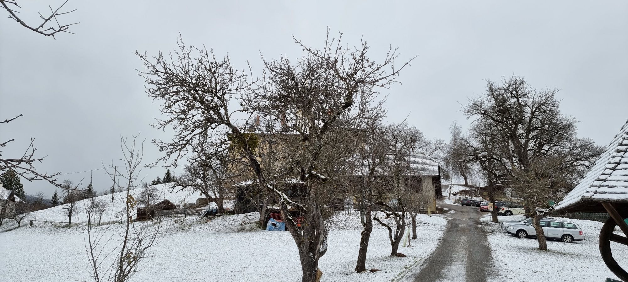
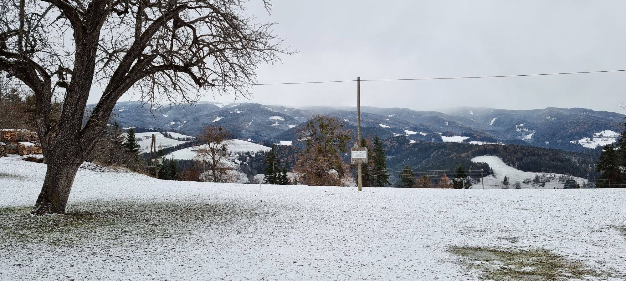
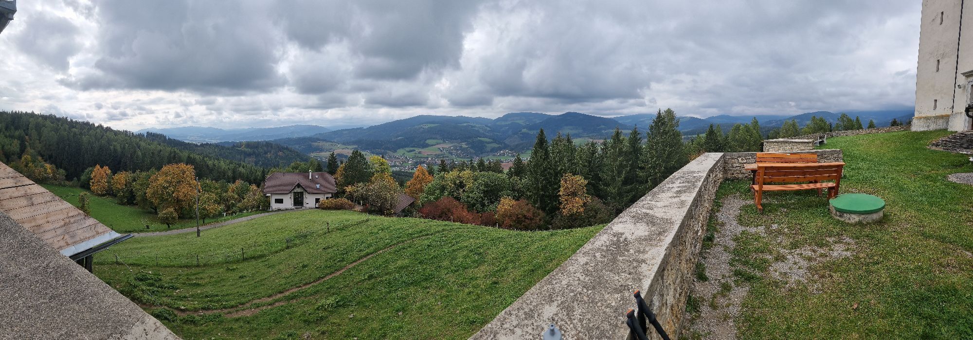
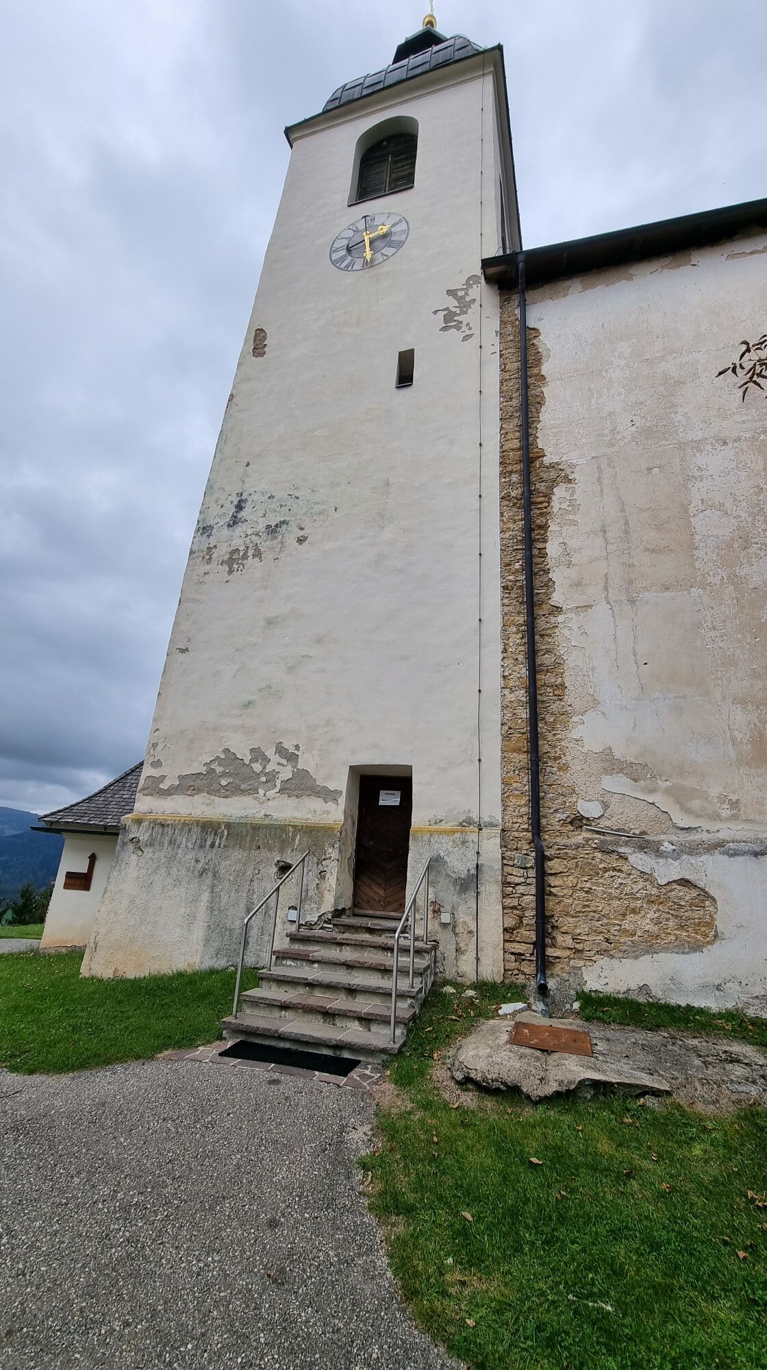
This hiking route is a real challenge for hiking enthusiasts. You start at the church in St. Gertuden, then continue to Guttaring and further towards the pilgrimage church Maria Hilf. From there, you reach...
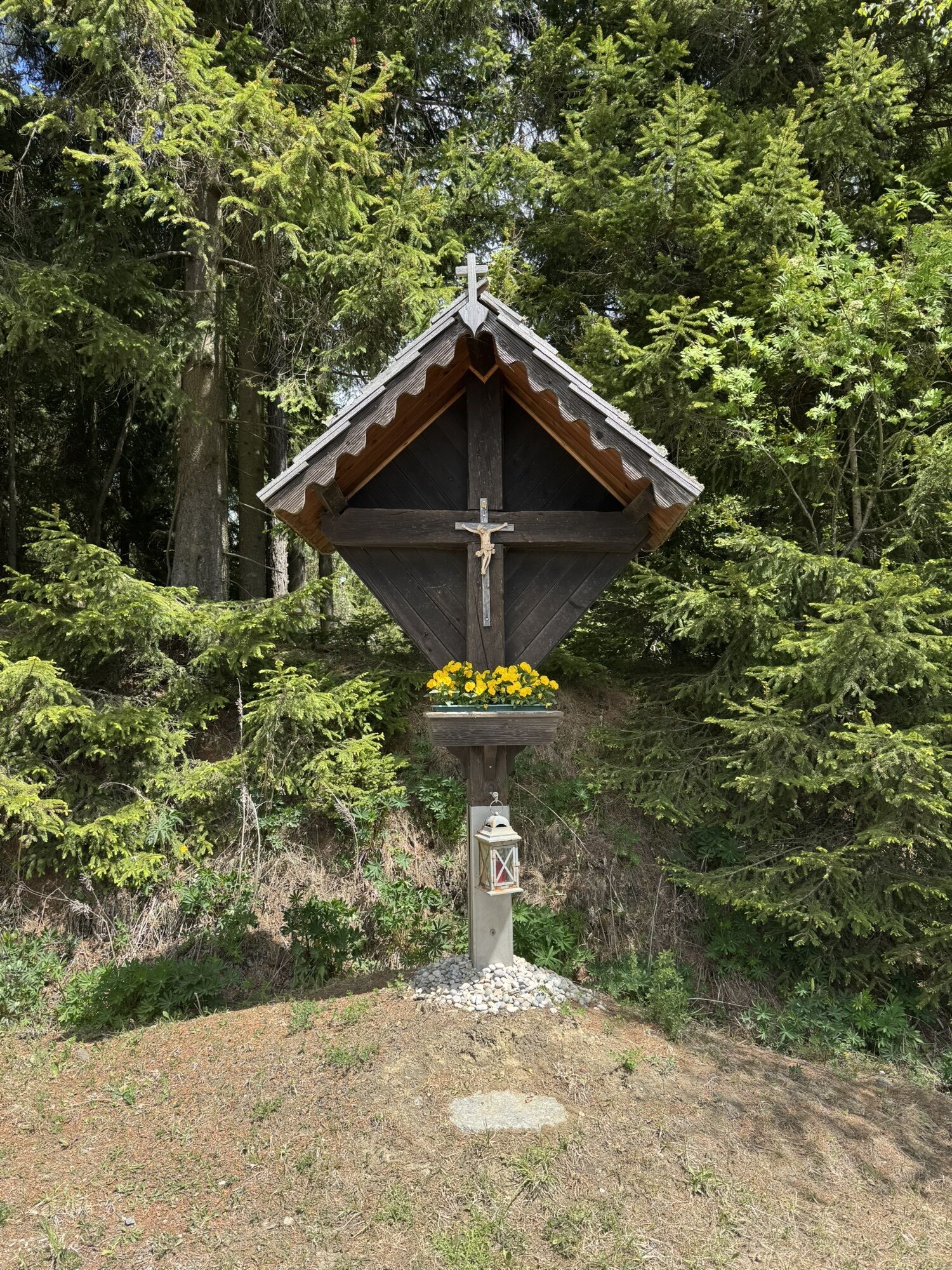
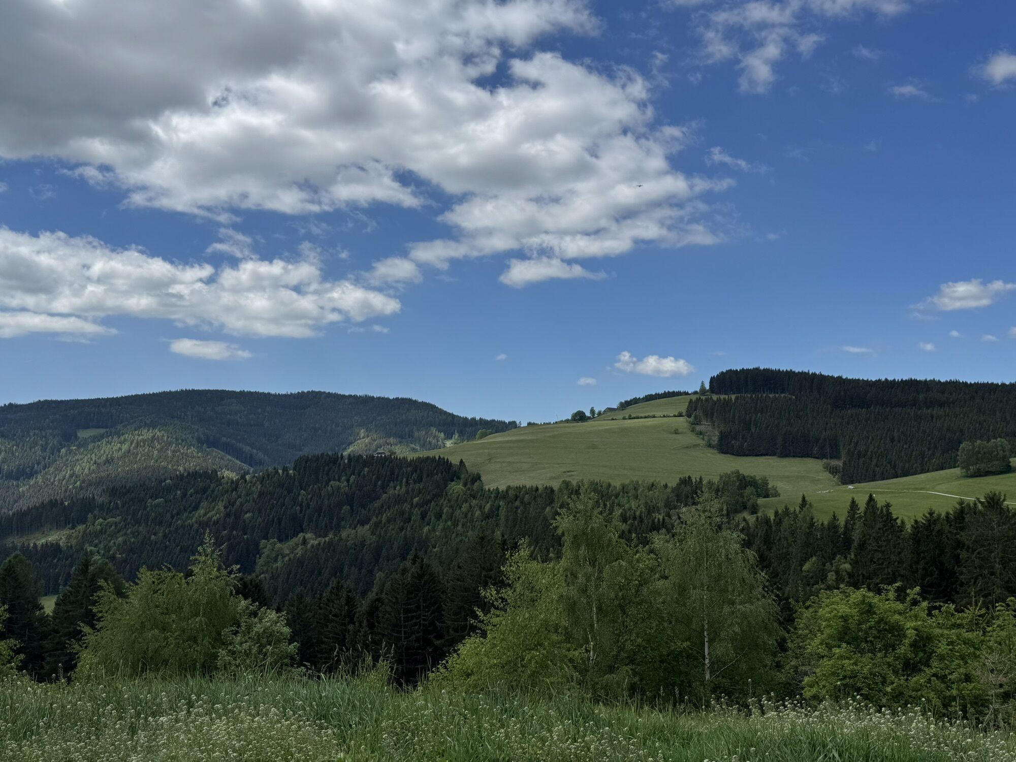
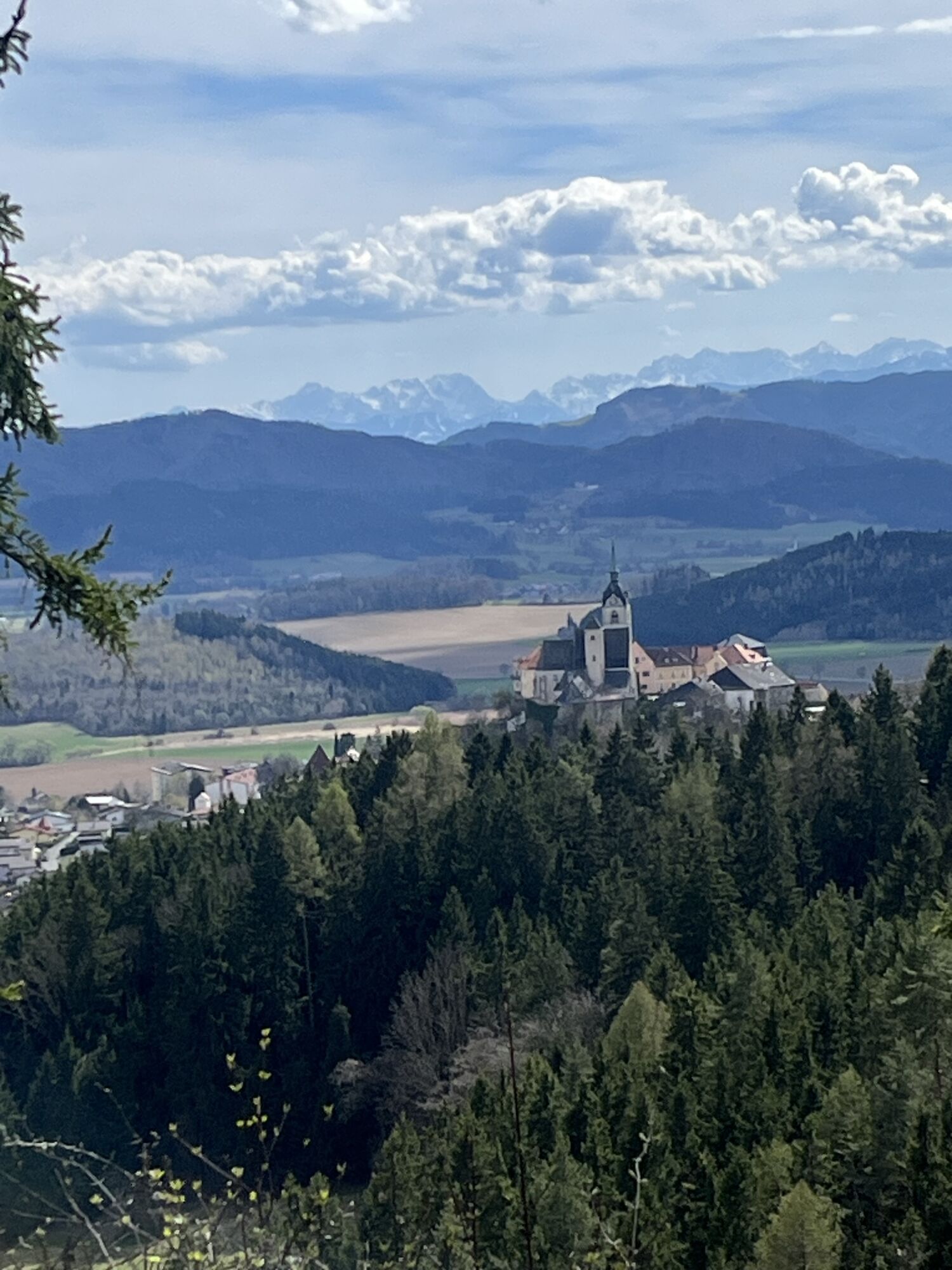
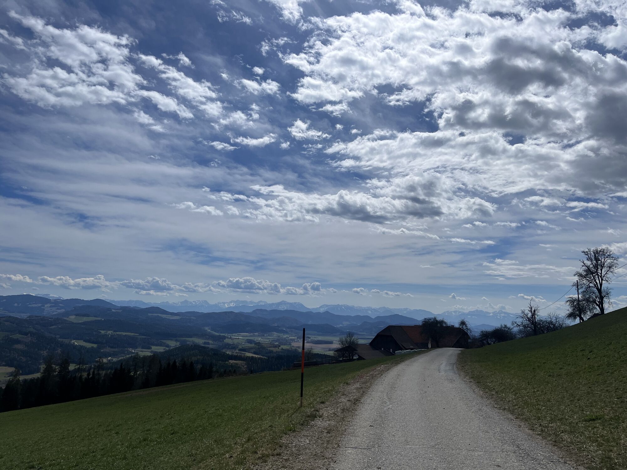
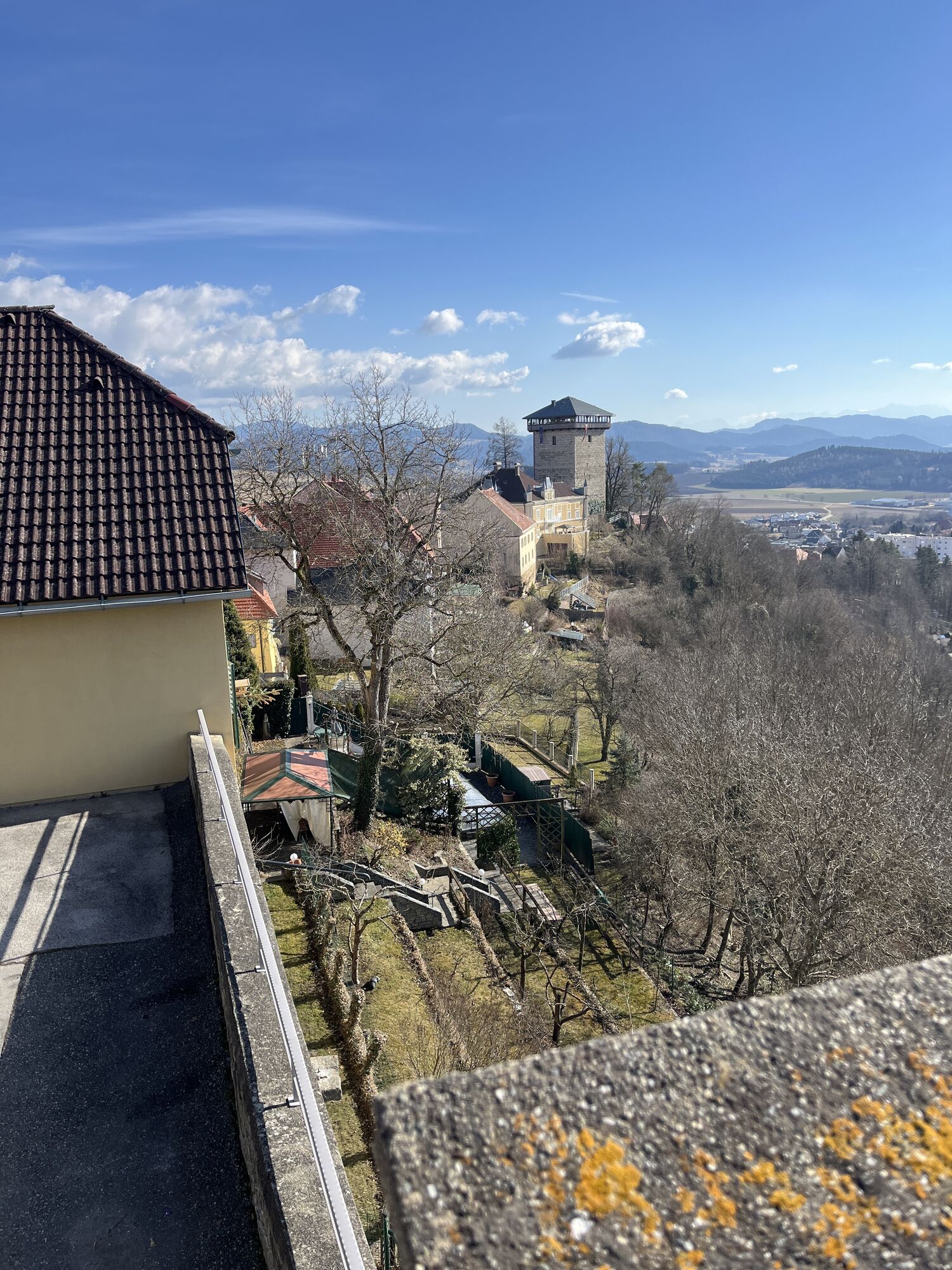
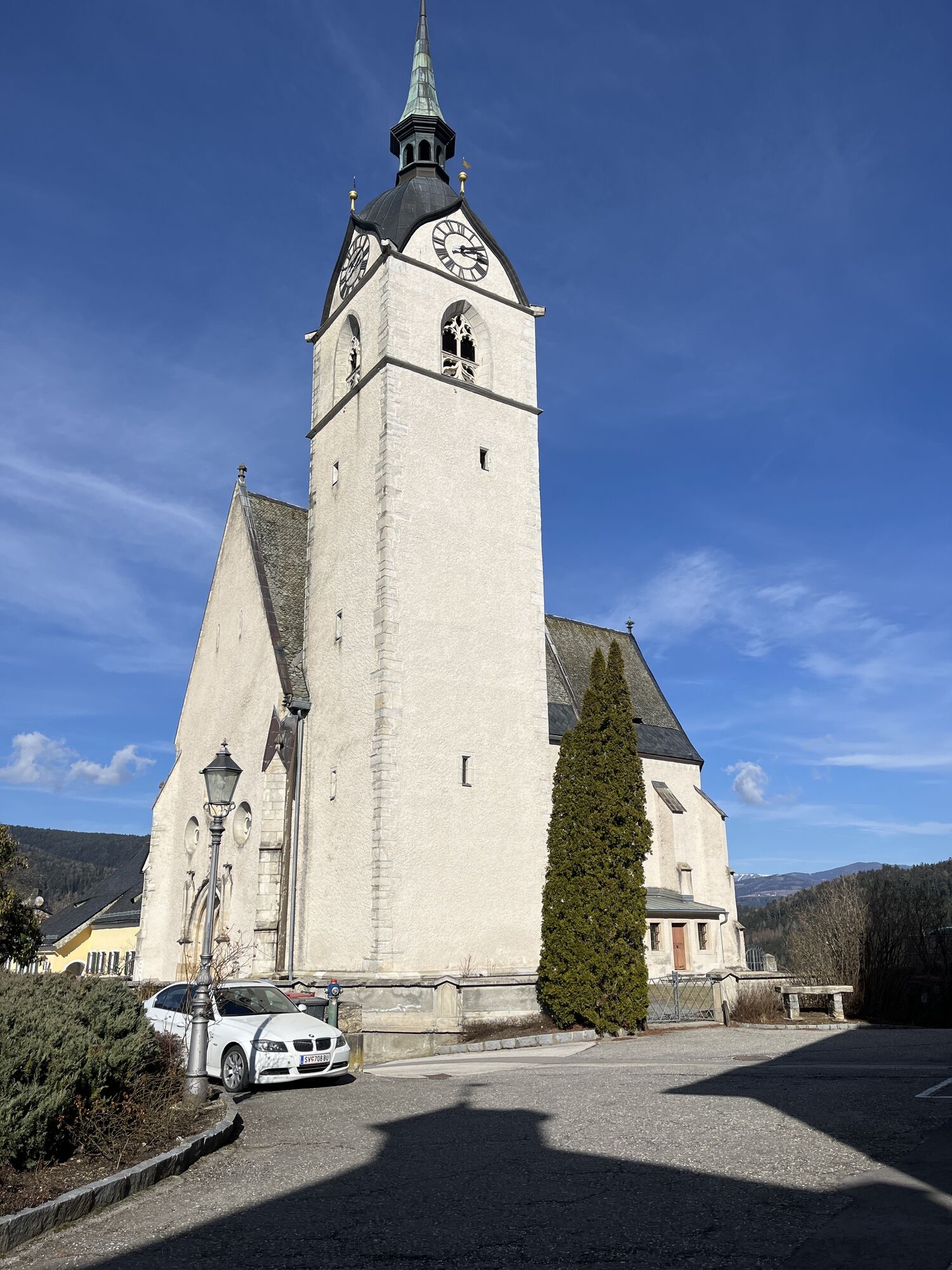
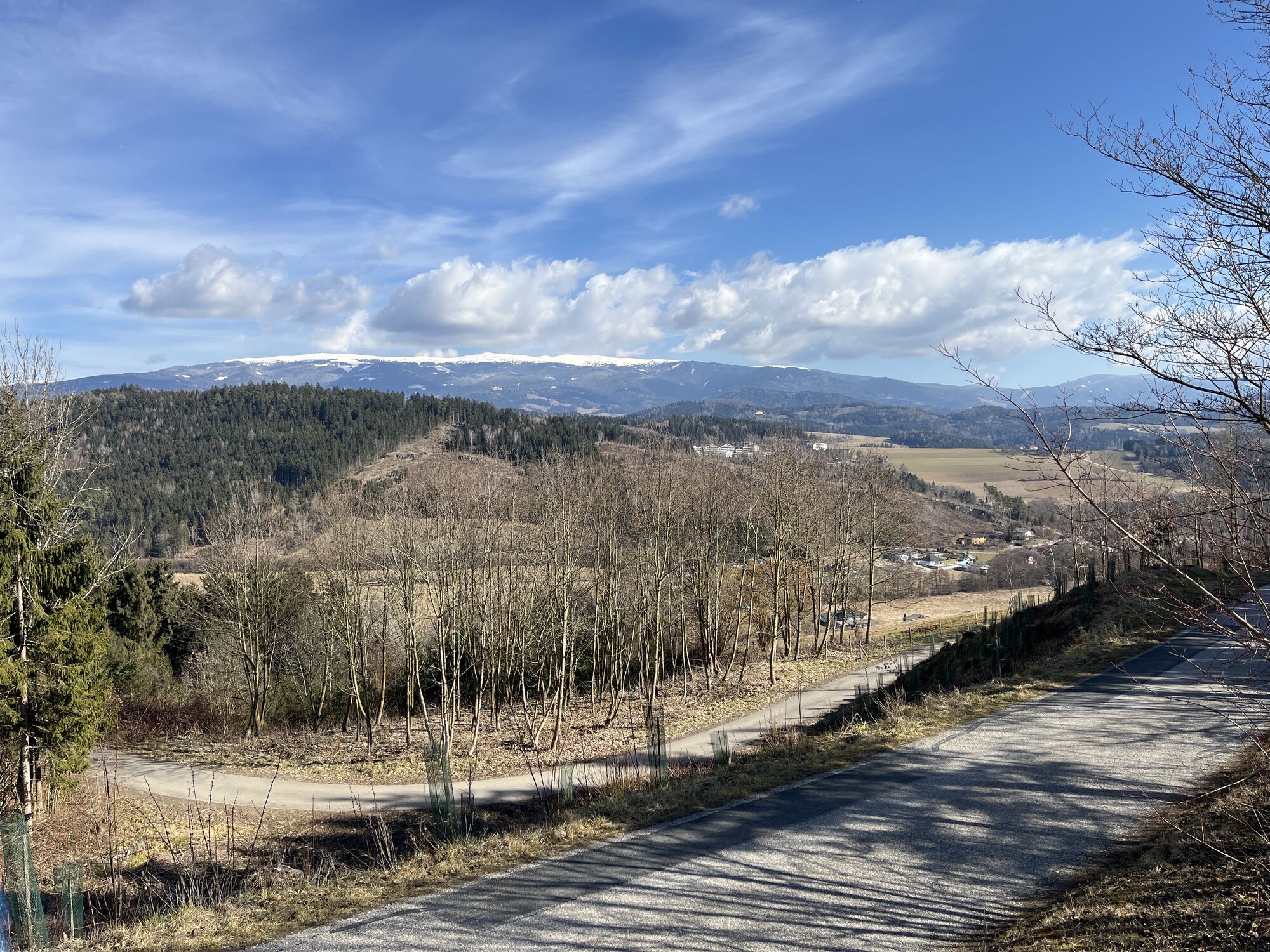
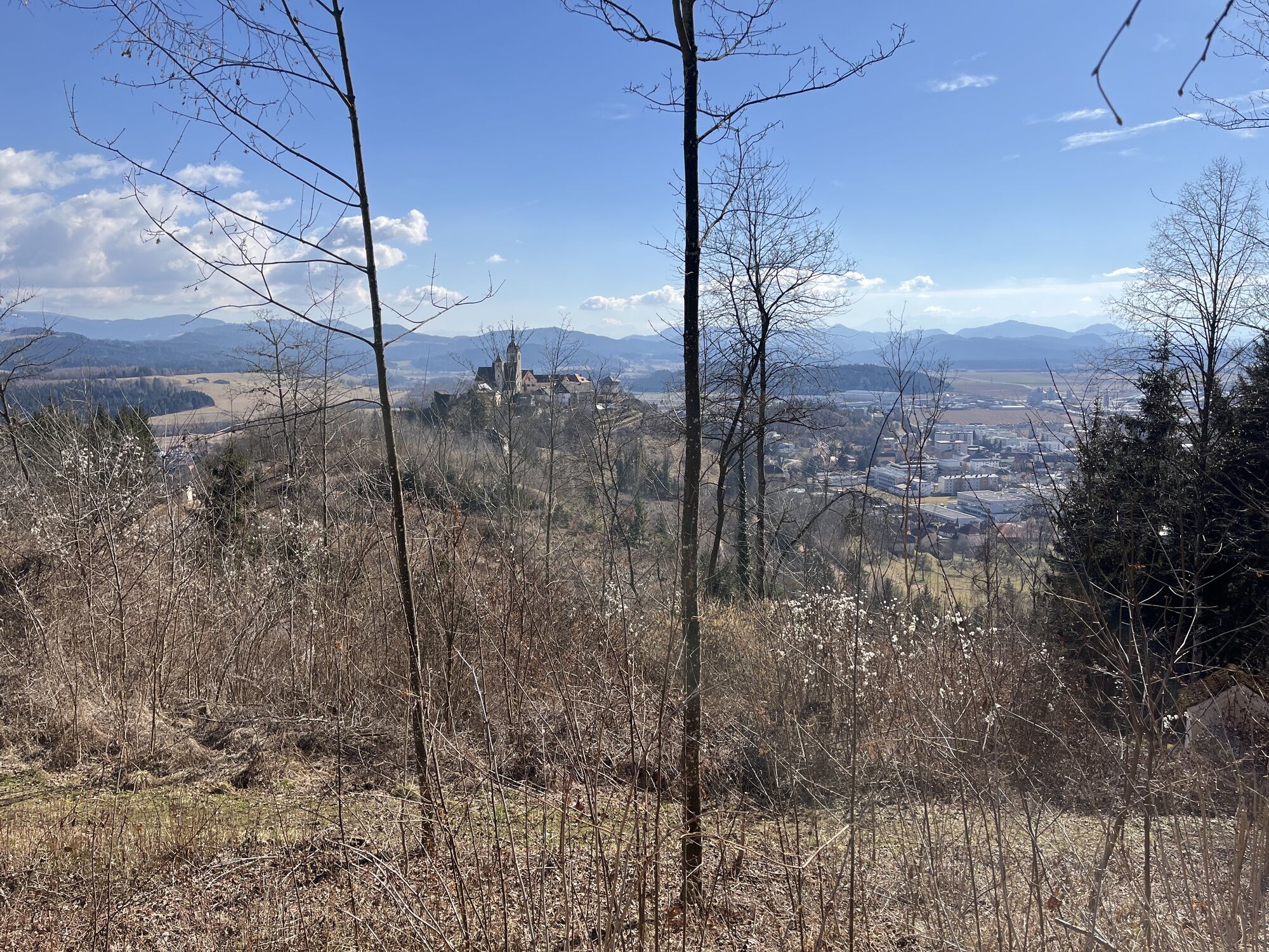
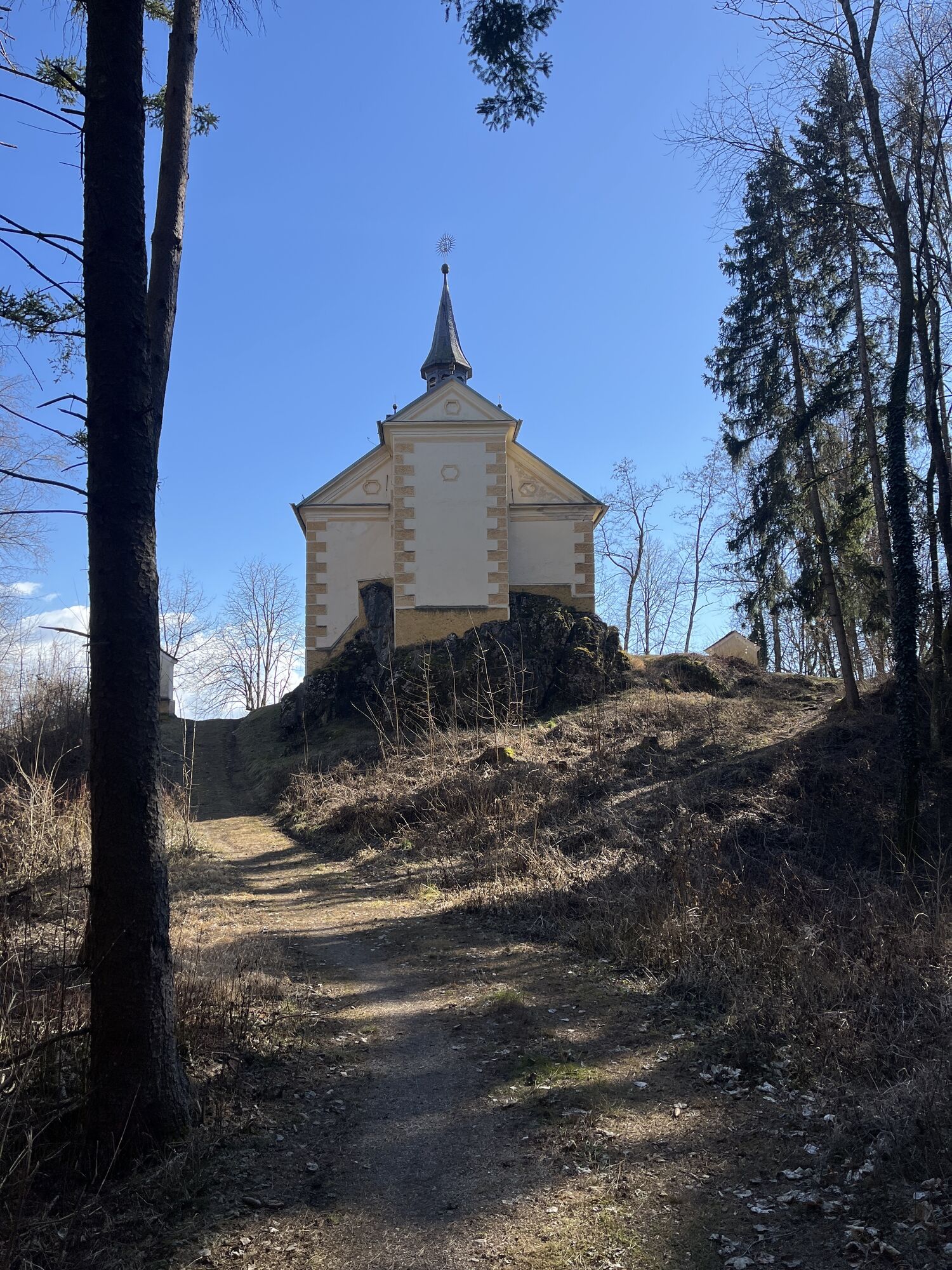
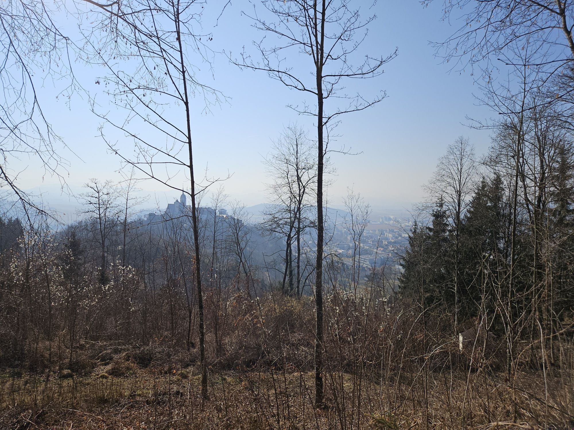
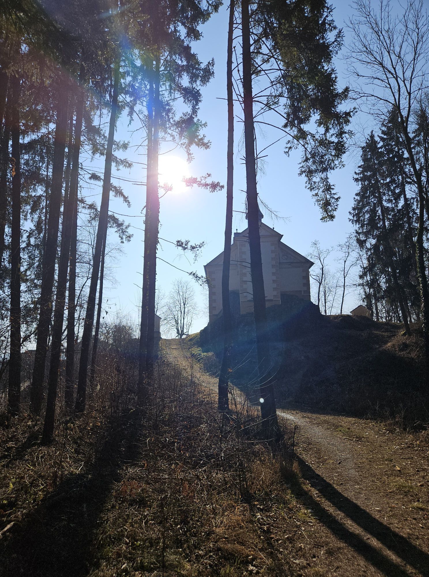
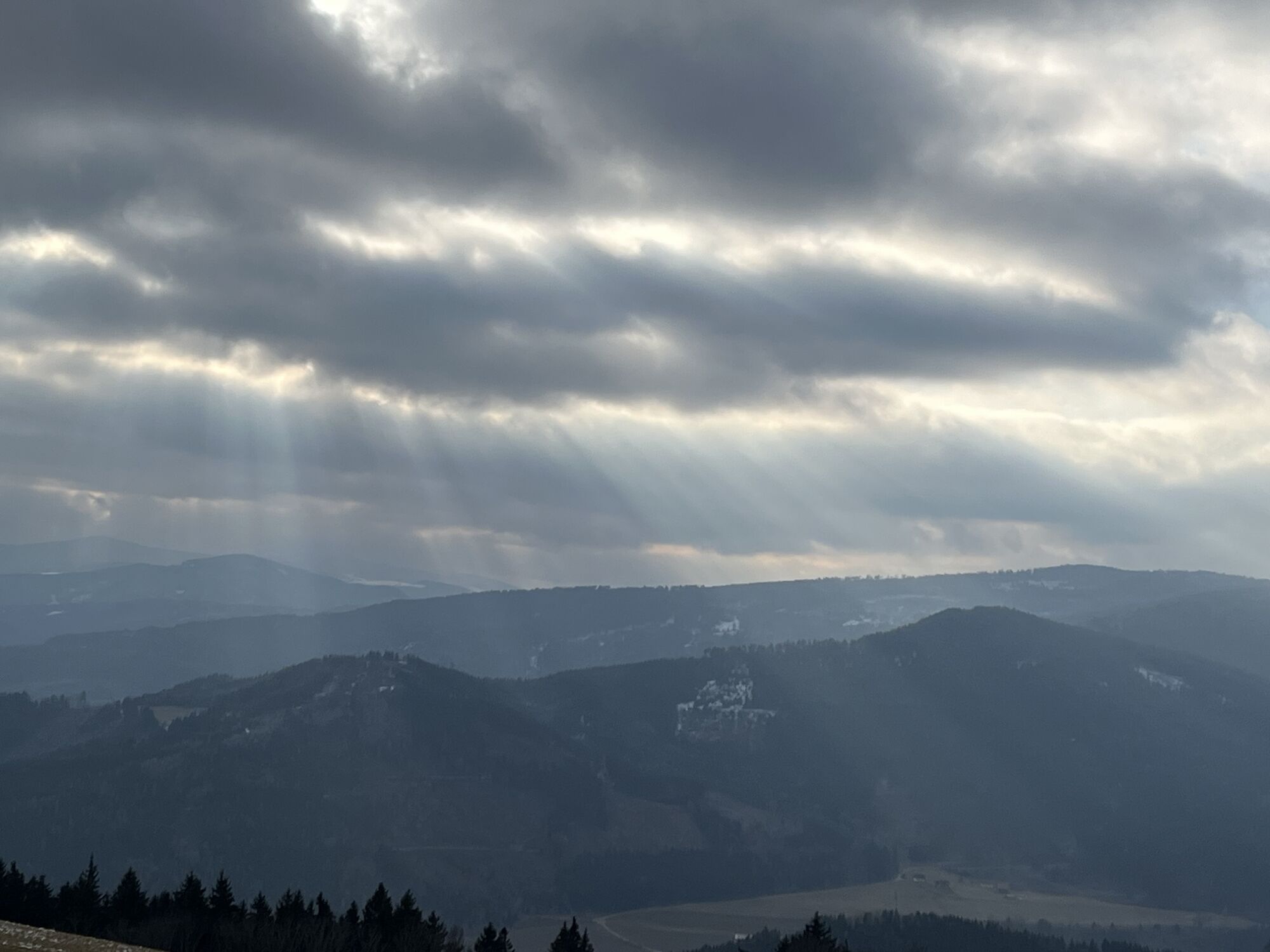
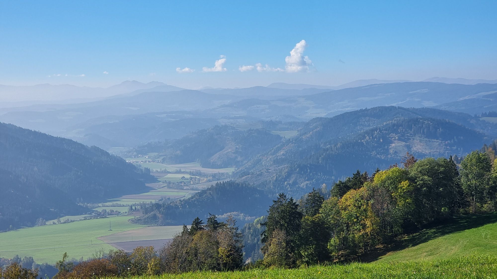
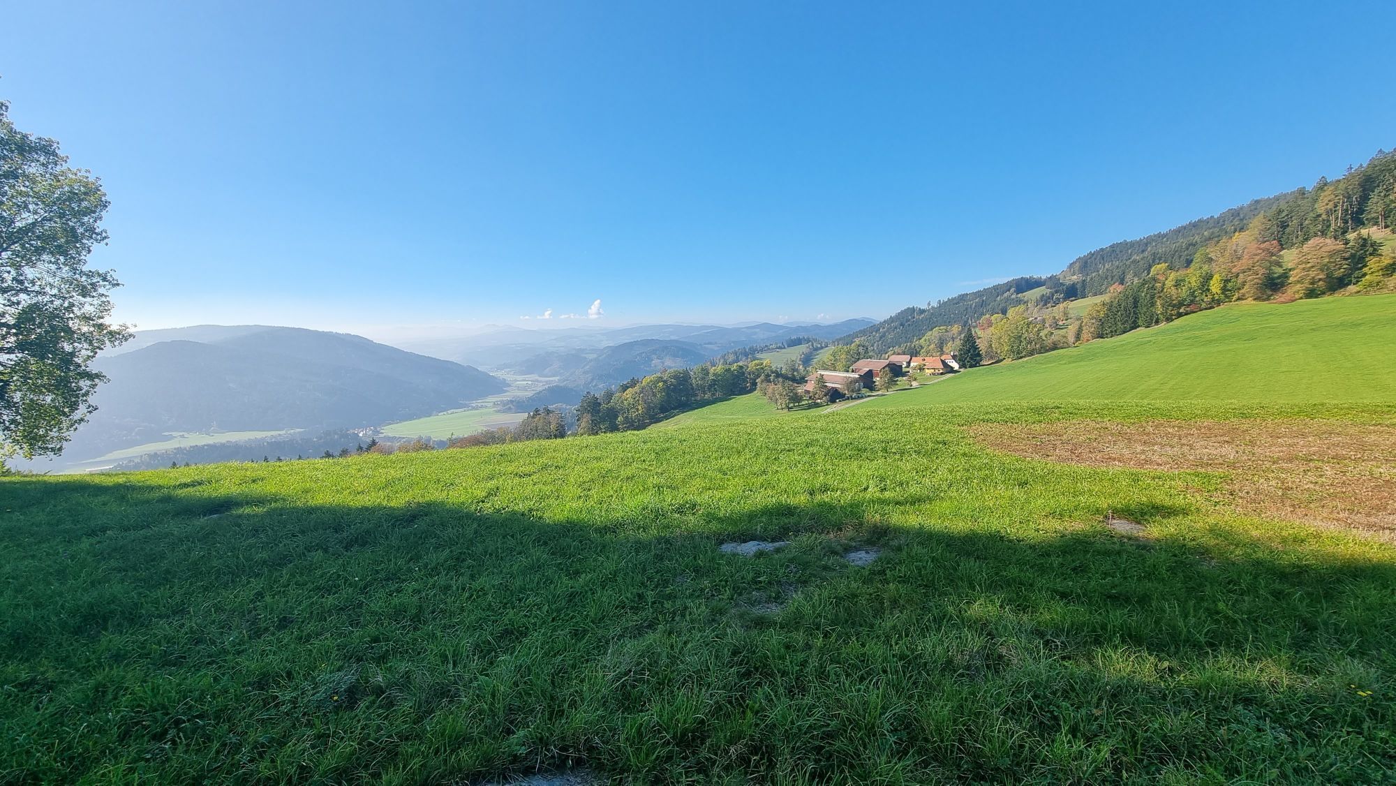
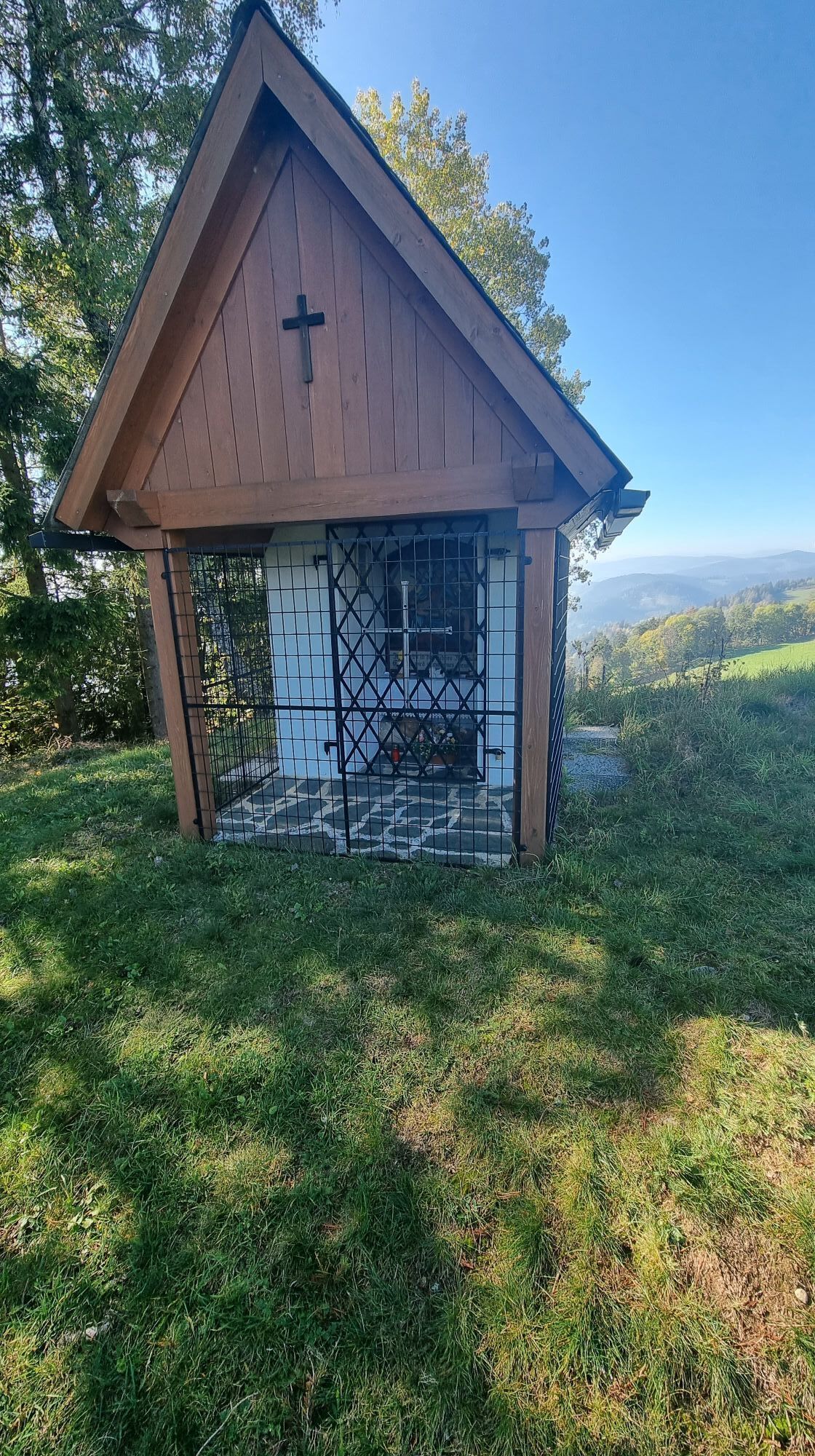
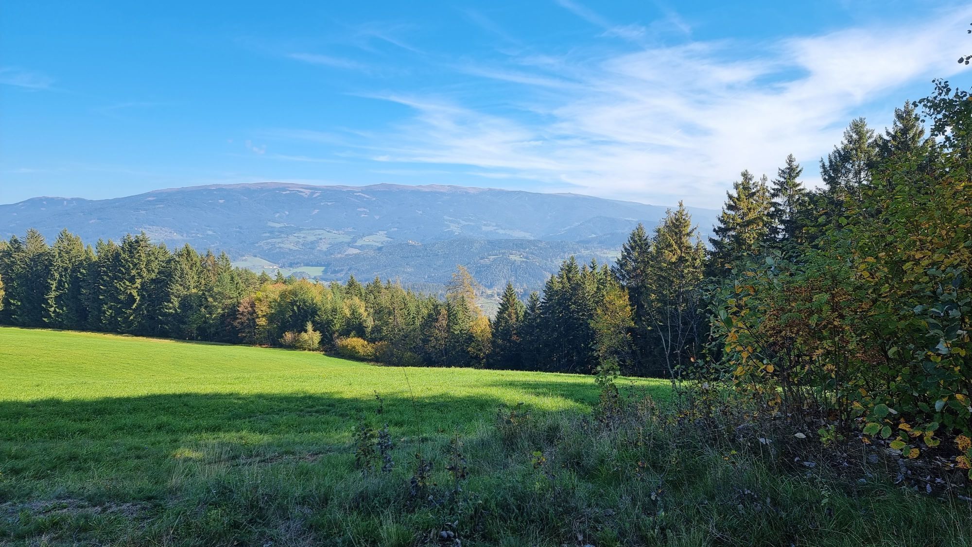
This hiking route is a real challenge for hiking enthusiasts. You start at the church in St. Gertuden, then continue to Guttaring and further towards the pilgrimage church Maria Hilf. From there, you reach Schelmberg via a beautiful forest path and then the church in Deinsberg. From here, the path gently ascends through magnificent forest to the pilgrimage church Maria Waitschach. With a wonderful view of the fertile Krappfeld, the Saualpe, and the Karawanken, the path leads to the church Dobritsch. Passing the Eggerbauer estate, after a longer march turn left and walk past the Oberfercher and Hubmann estates. Following the signs, turn left again and now go over the tavern "Kernmayer" to Guttaring, where the last church in the town center of Guttaring awaits you.
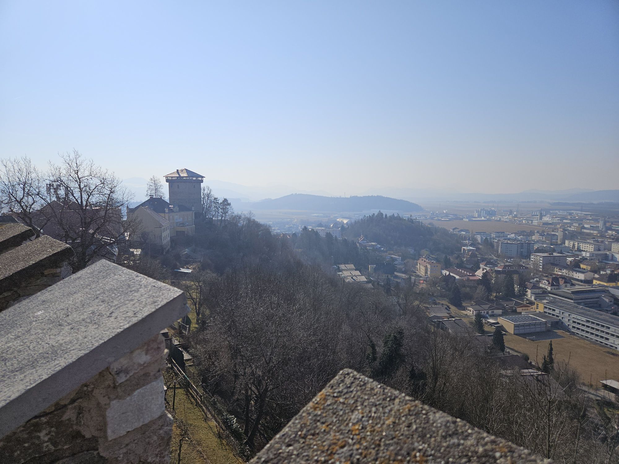
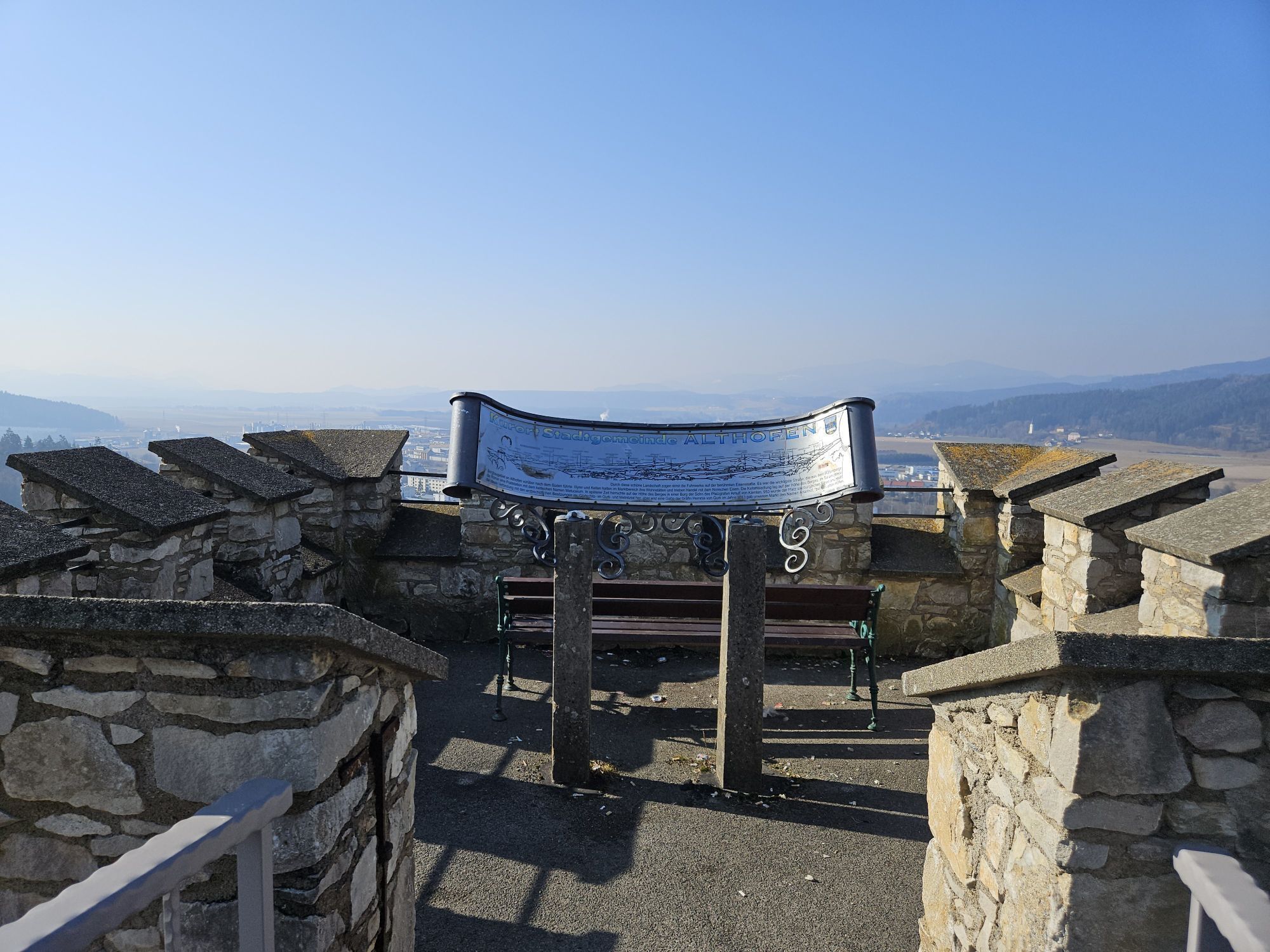
If you want to hike to the church of the town Althofen, then follow the road from the Hubmann estate towards Althofen.

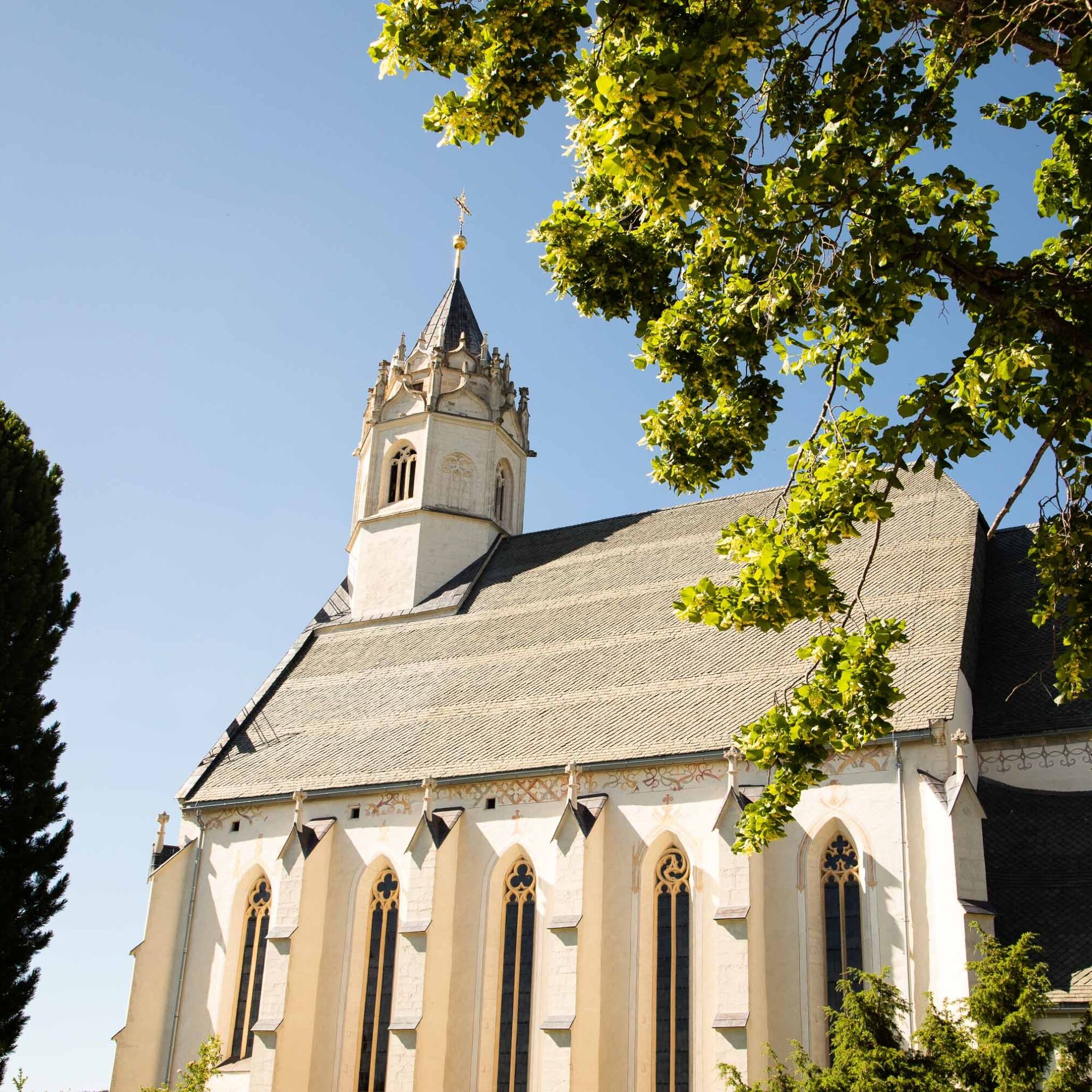
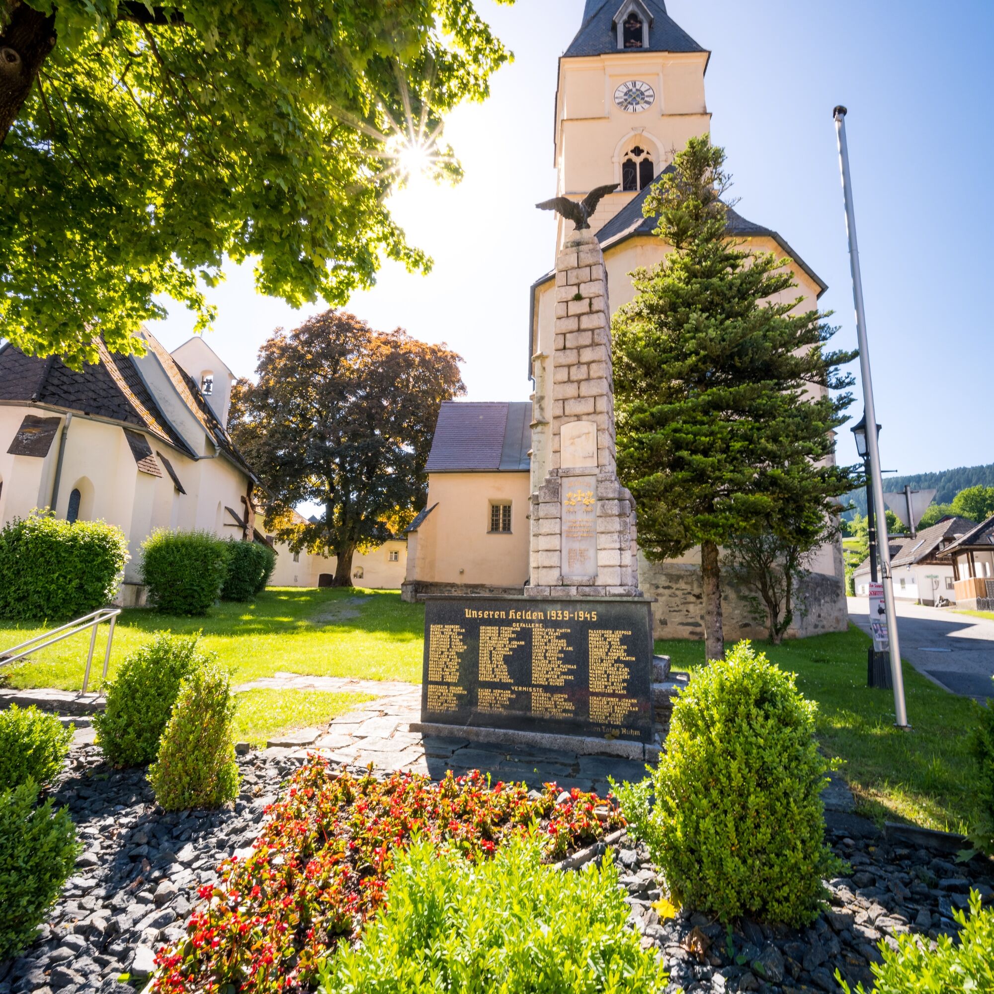
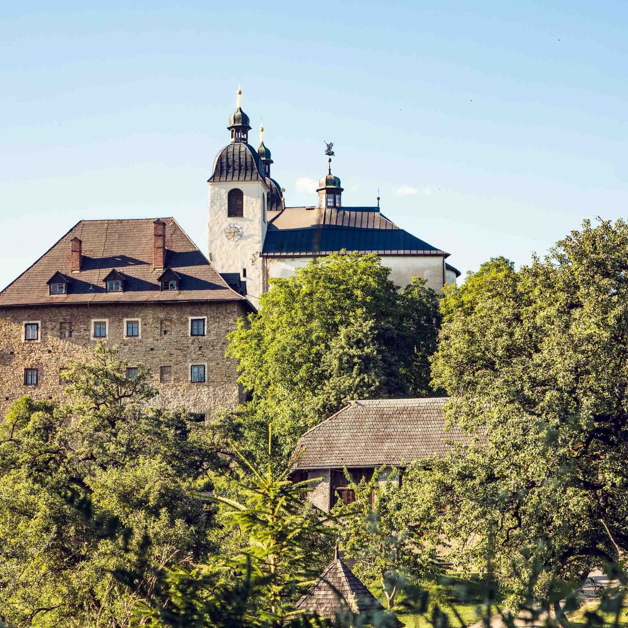
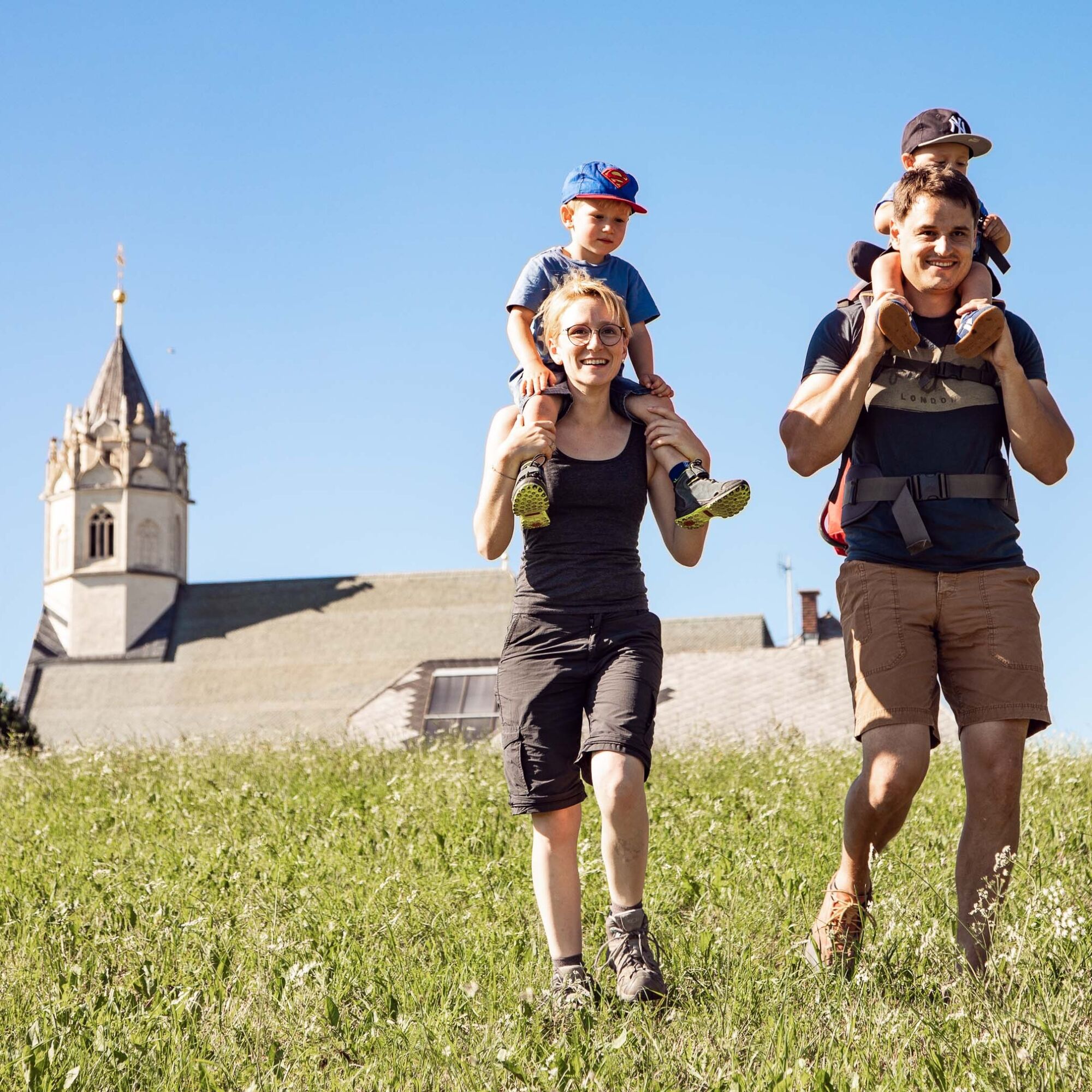
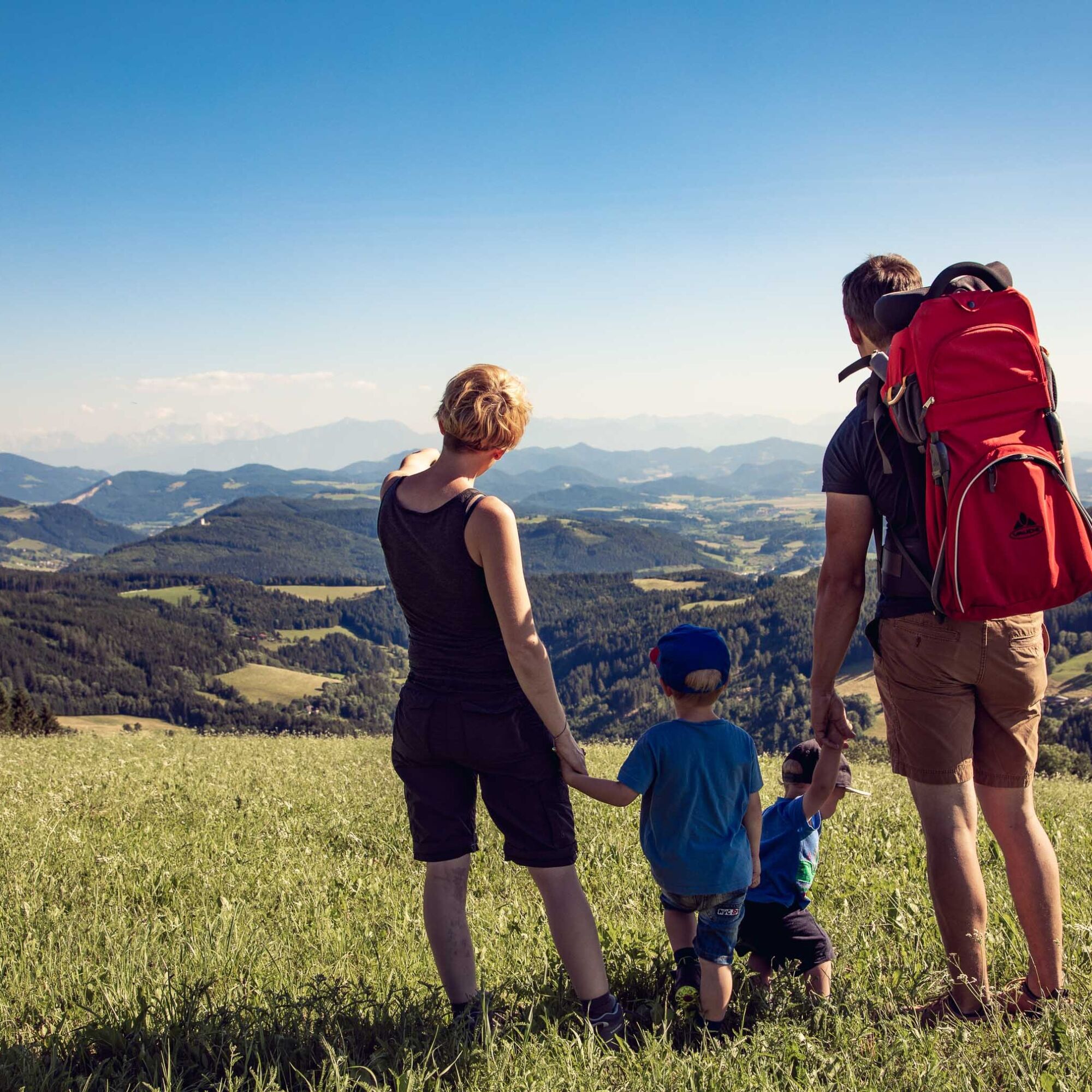

This hiking route is a real challenge for hiking enthusiasts. You start at the church in St. Gertuden, then continue to Guttaring and further towards the pilgrimage church Maria Hilf. From there, you reach Schelmberg via a beautiful forest path and then the church in Deinsberg. From here, the path gently ascends through magnificent forest to the pilgrimage church Maria Waitschach. With a wonderful view of the fertile Krappfeld, the Saualpe, and the Karawanken, the path leads to the church Dobritsch. Passing the Eggerbauer estate, after a longer march turn left and walk past the Oberfercher and Hubmann estates. Following the signs, turn left again and now go over the tavern "Kernmayer" to Guttaring, where the last church in the town center of Guttaring awaits you.
If you want to hike to the church of the town Althofen, then follow the road from the Hubmann estate towards Althofen.
Water bottle, sturdy footwear, appropriate clothing
Inform someone where you are going and when you will be back
see route planner
see Oebb route planner
Parking available
available at the information office
7 churches

Kamery internetowe z trasy
Uzyskaj wgląd Zawsze na żywo z ponad 9 500 kamer internetowych. bergfex Jako użytkownik Pro, możesz teraz zobaczyć odpowiednie kamery internetowe dla wielu wycieczek w aplikacji wycieczki od. Pozwala to na bezpośredni podgląd aktualnych warunków. Popularne wycieczki w okolicy
- 4,8
Graggerschlucht
średniTrasa tematyczna 3,91 km - 4,6
Zirbitzkogel-Runde über Lindersee
średniWędrówka 10,5 km - 5,0
Zirbitzkogel, 2396m, von Winterleiten Hütte
średniWędrówka 10,5 km - 5,0
Rothaidehütte Runde Zirbitzkogel
średniWędrówka 6,17 km - 4,8
Zirbitzkogel Wildsee Rothaidehütte
średniWędrówka 15,4 km - 4,8
Zirbitzkogel Waldheimhütte - Wildsee - Fuchskogel - Zirbitzkogel, Steiermark/Österreich
średniWędrówka 15,2 km - 3,9
Vom Almidyll Sabathy (Sabathyhütte) auf den Zirbitzkogel
średniWędrówka 7,70 km - 4,6
Skitour Zirbitzkogel
średniWycieczka narciarska 6,01 km - 4,4
Naturfreundehaus Winterleiten 1800 m- Zirbitzkogel 2369 m- Kreiskogel 2340 - Winterleitenhütte
ciężkiWędrówka 11,9 km - 3,9
Zirbitzkogeltour
średniWędrówka 10,2 km
Wędrówki i tropienie


Nie przegap ofert i inspiracji na następne wakacje
Twój adres e-mail została dodana do listy mailingowej.





