


Mittagskogel


Zdjęcia naszych użytkowników

 © Klaus GrambichlerUtworzono dnia 07.06.2025
 © Gernot KlammlerUtworzono dnia 28.07.2023
 © Michael JesenkoUtworzono dnia 07.09.2022
 © Ulrike PUtworzono dnia 06.09.2025
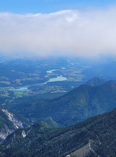 © Ulrike PUtworzono dnia 06.09.2025
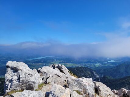 © Ulrike PUtworzono dnia 06.09.2025
 © Ulrike PUtworzono dnia 06.09.2025
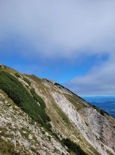 © Ulrike PUtworzono dnia 06.09.2025
 © Ulrike PUtworzono dnia 06.09.2025
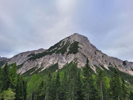 © Ulrike PUtworzono dnia 06.09.2025
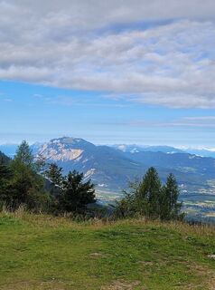 © Ulrike PUtworzono dnia 06.09.2025
 © Klaus GrambichlerUtworzono dnia 07.06.2025
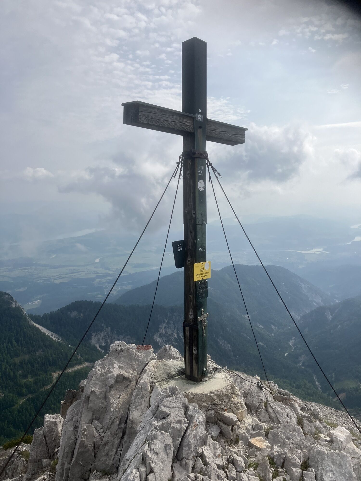
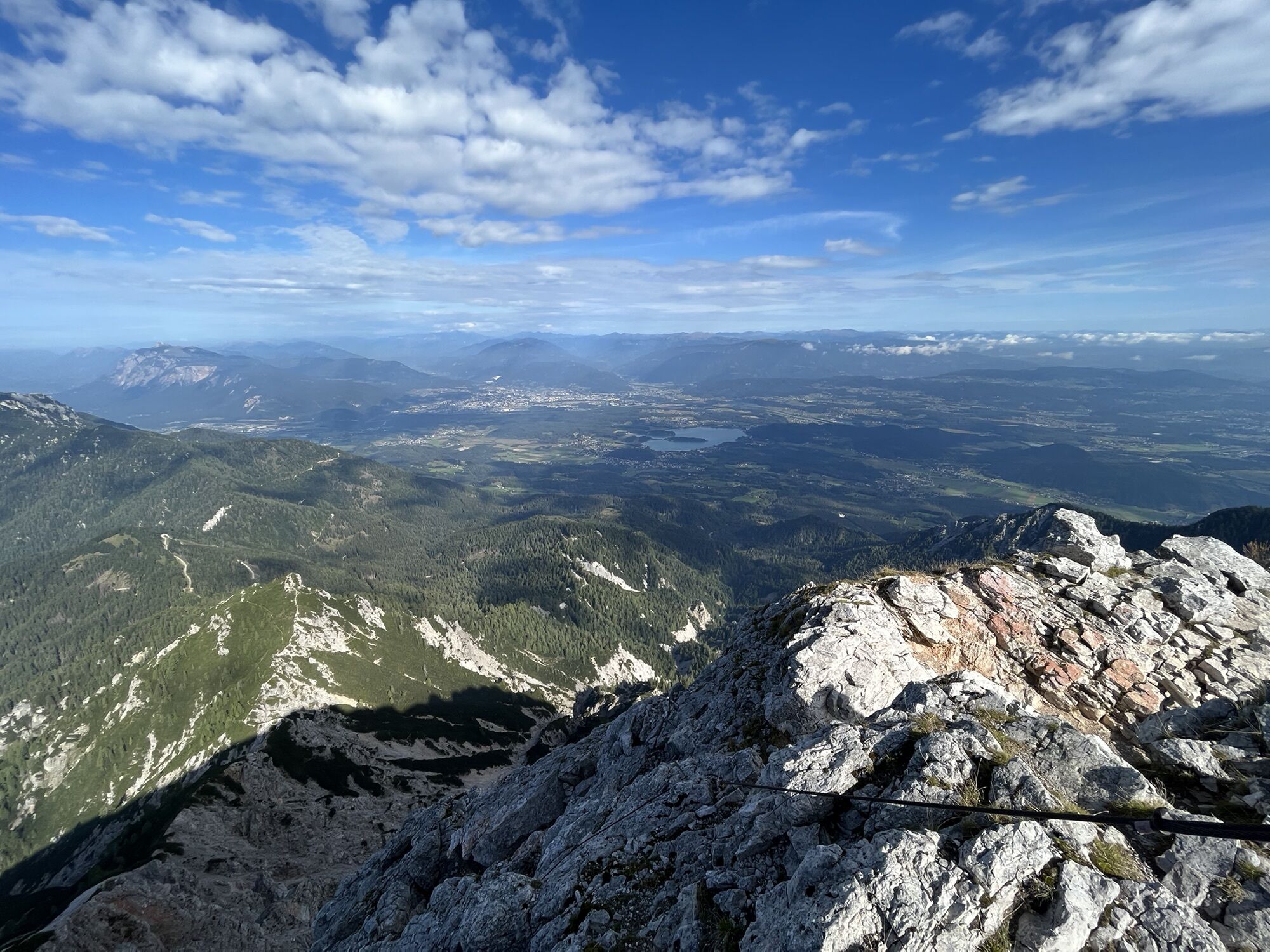
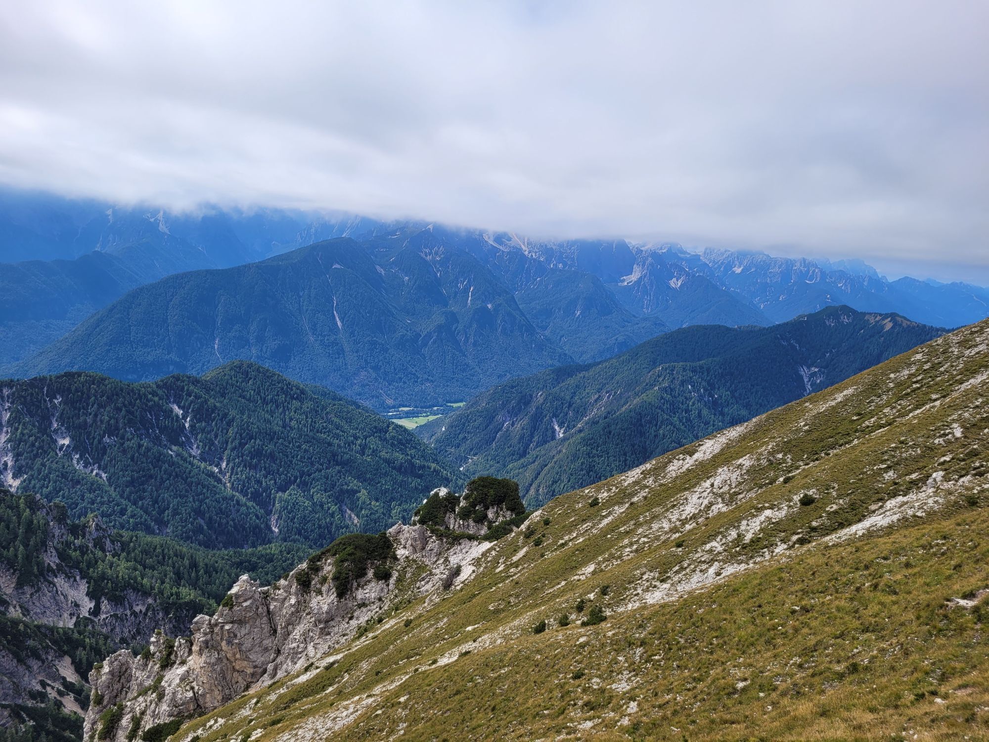


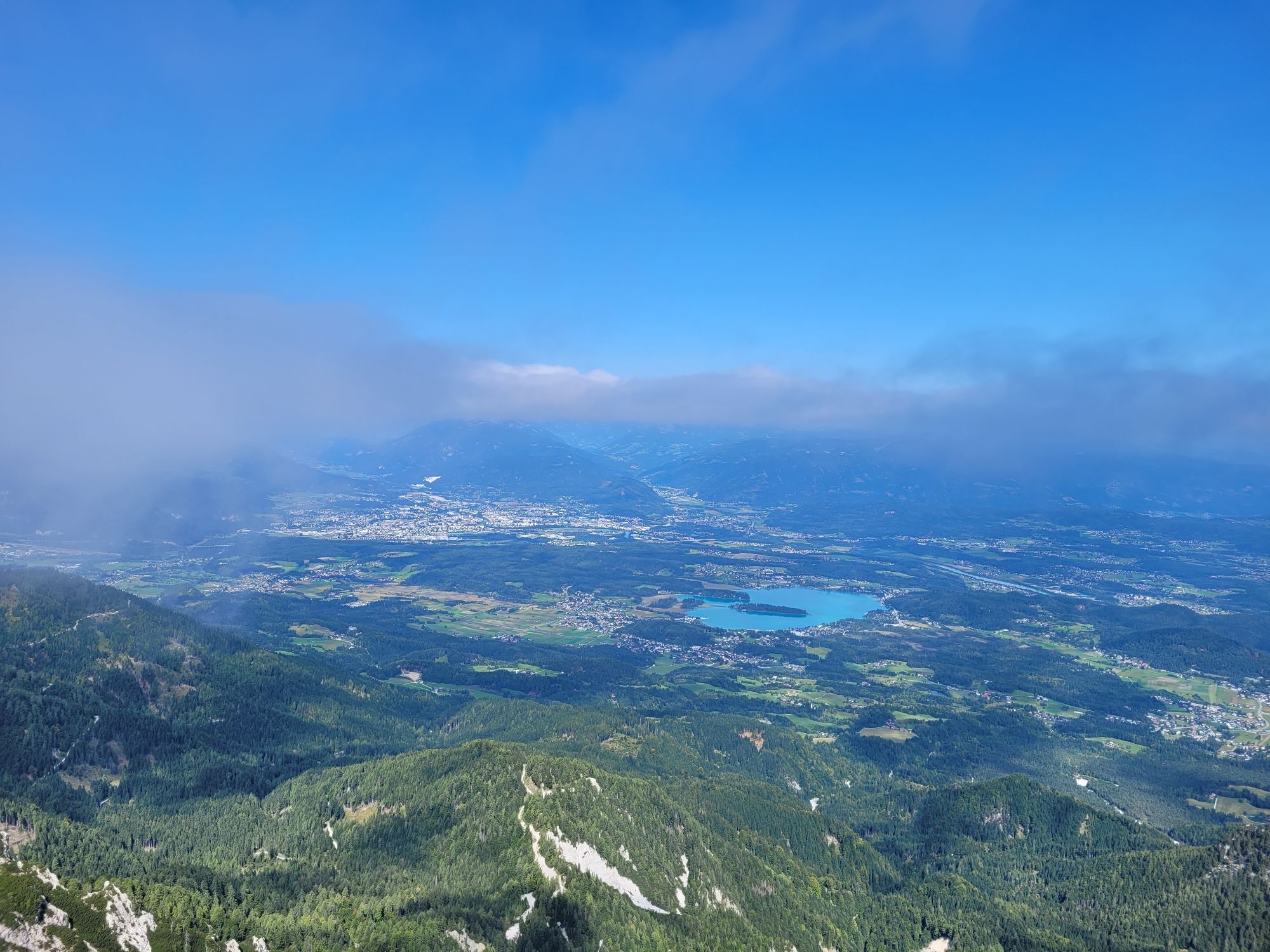
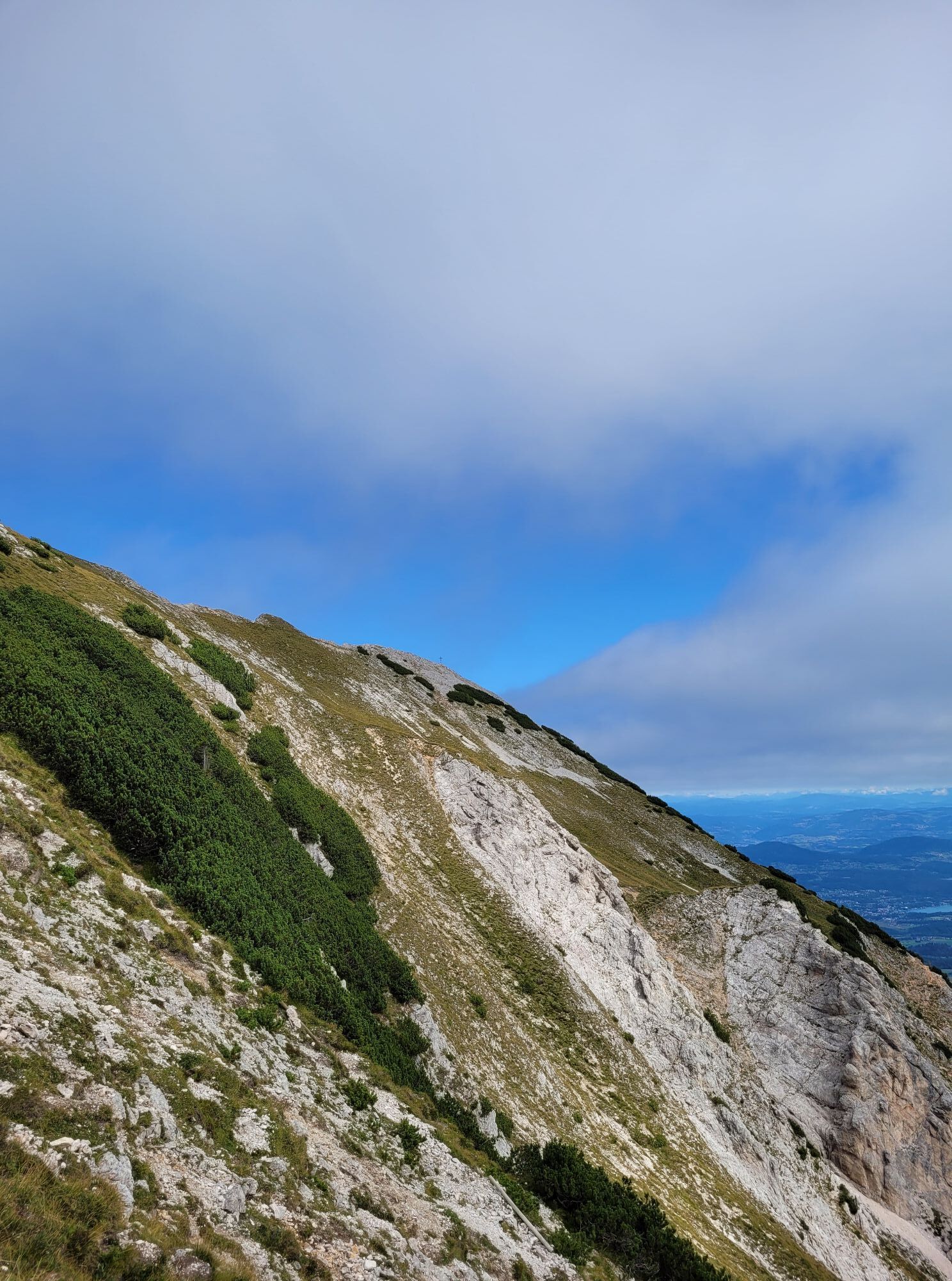
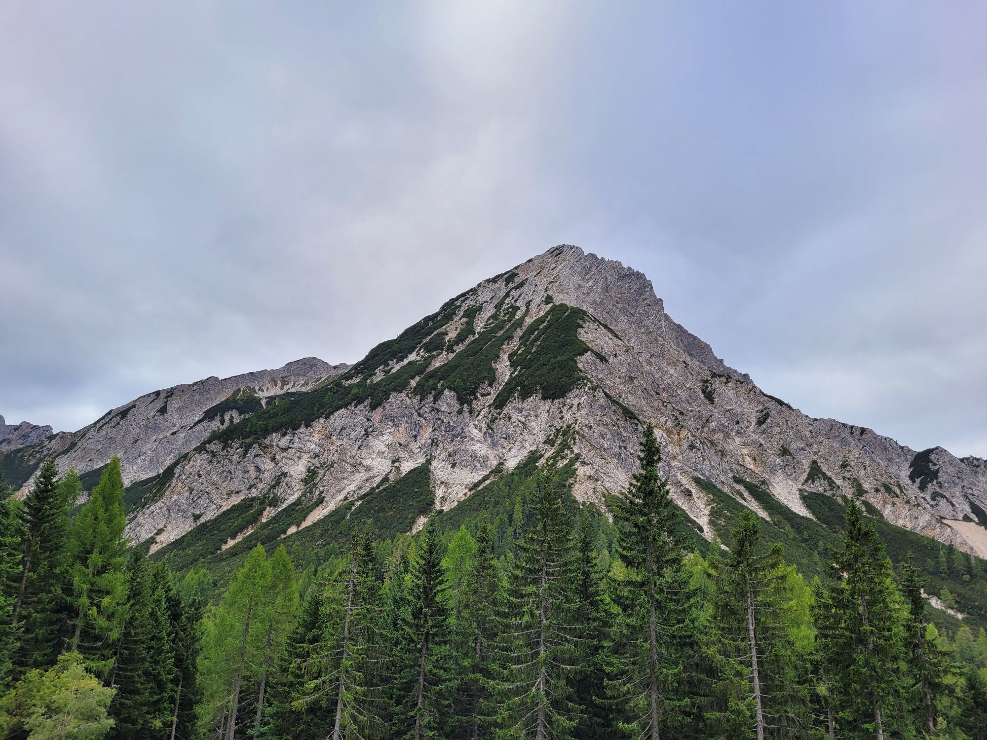
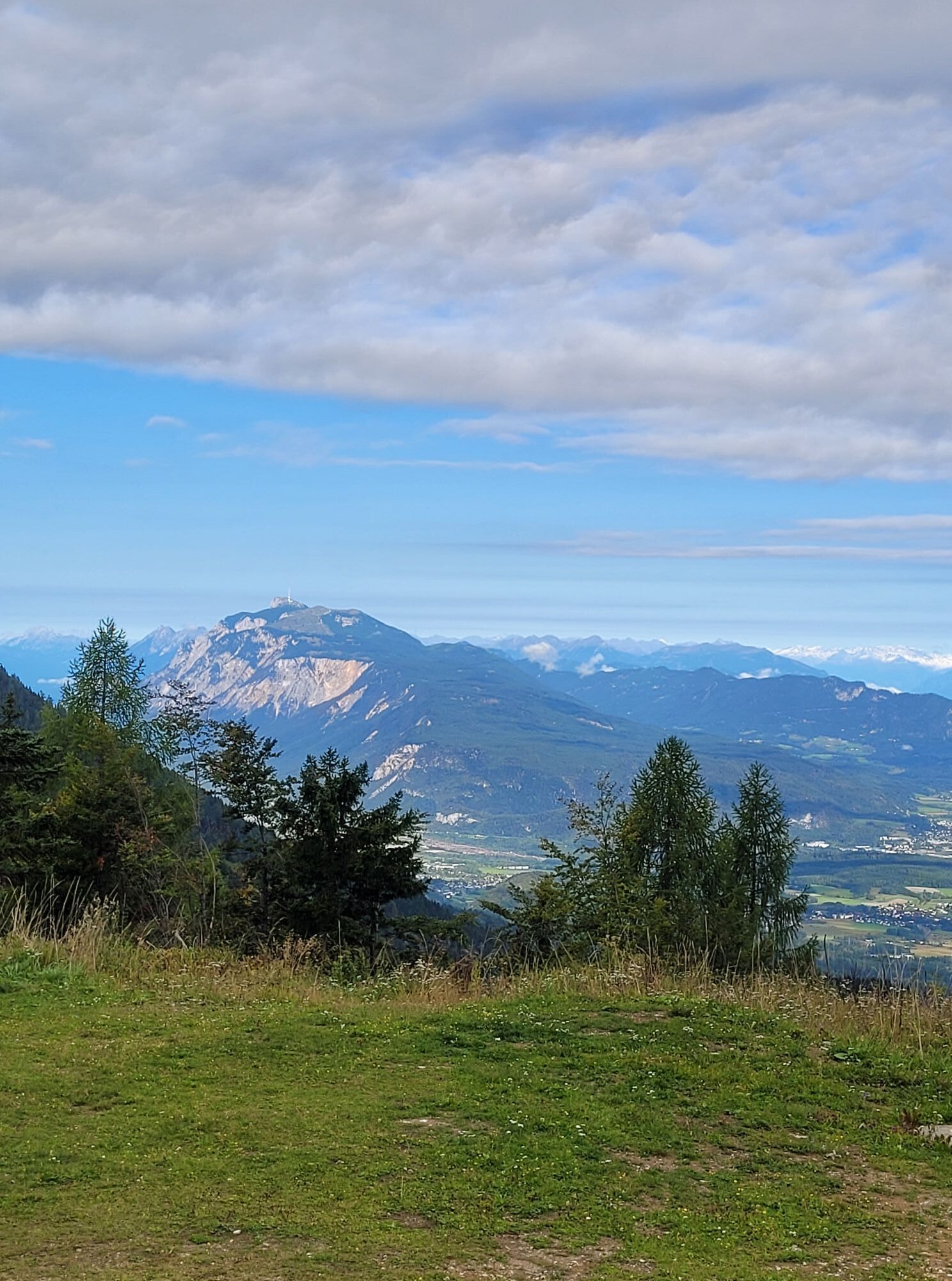
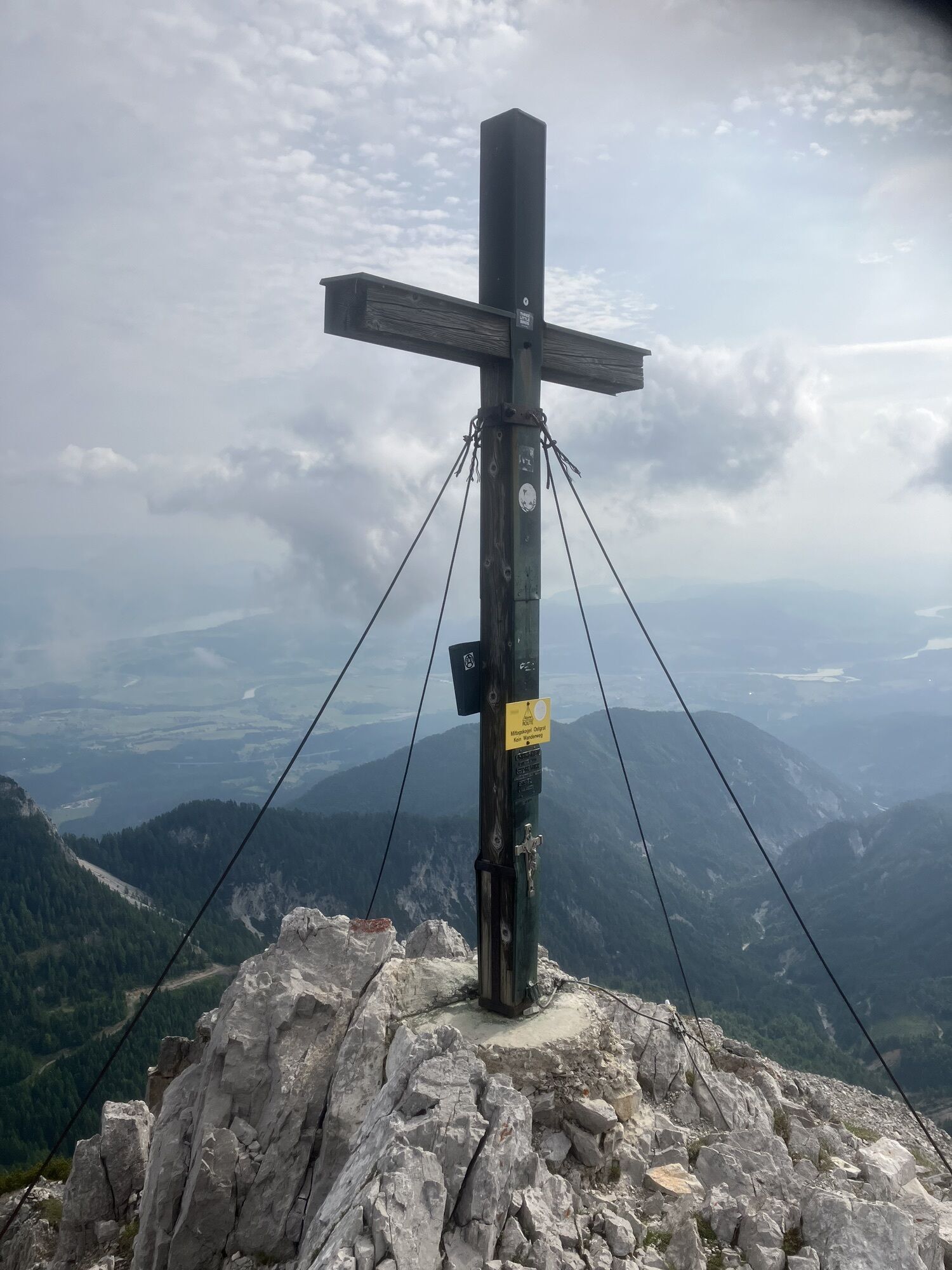
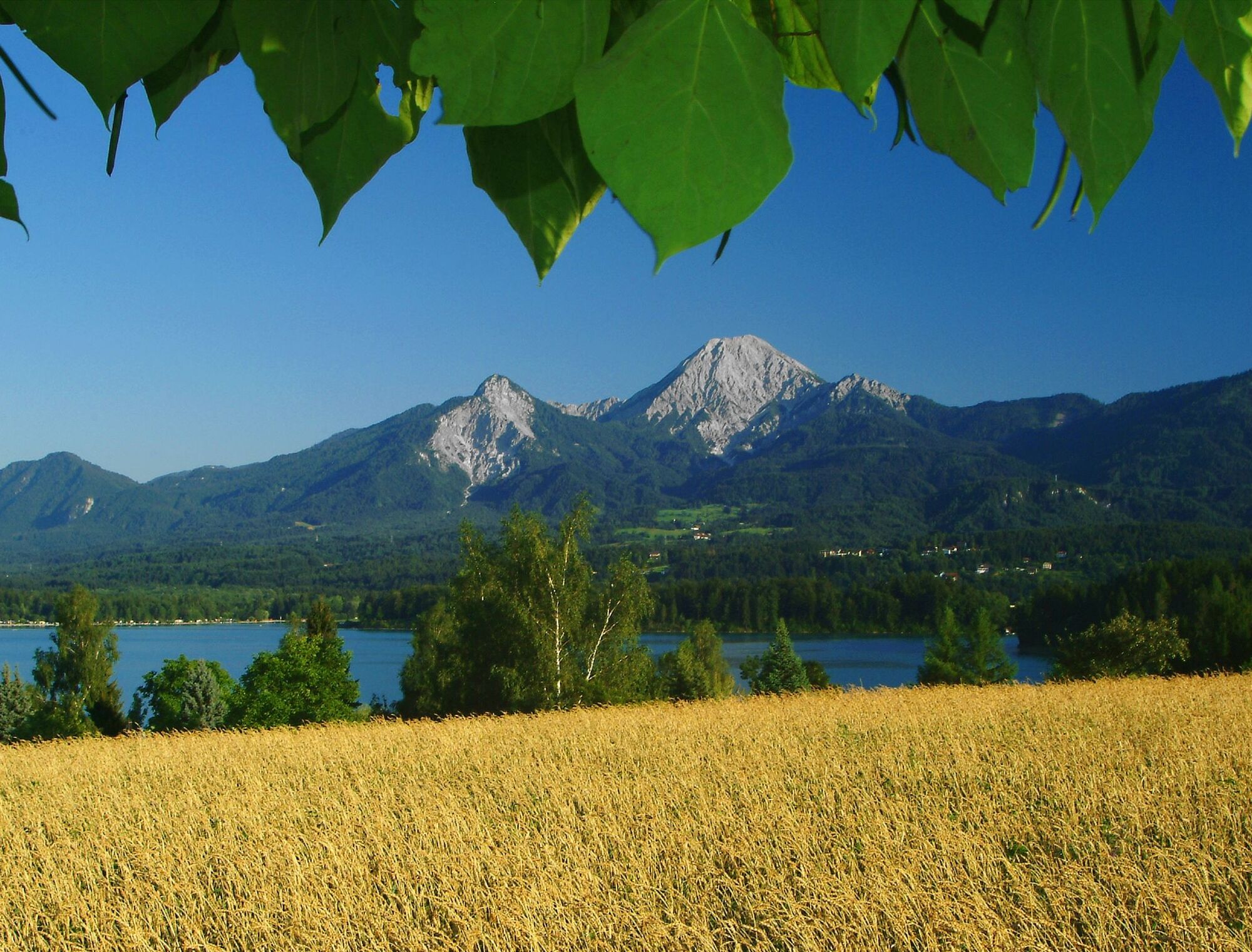
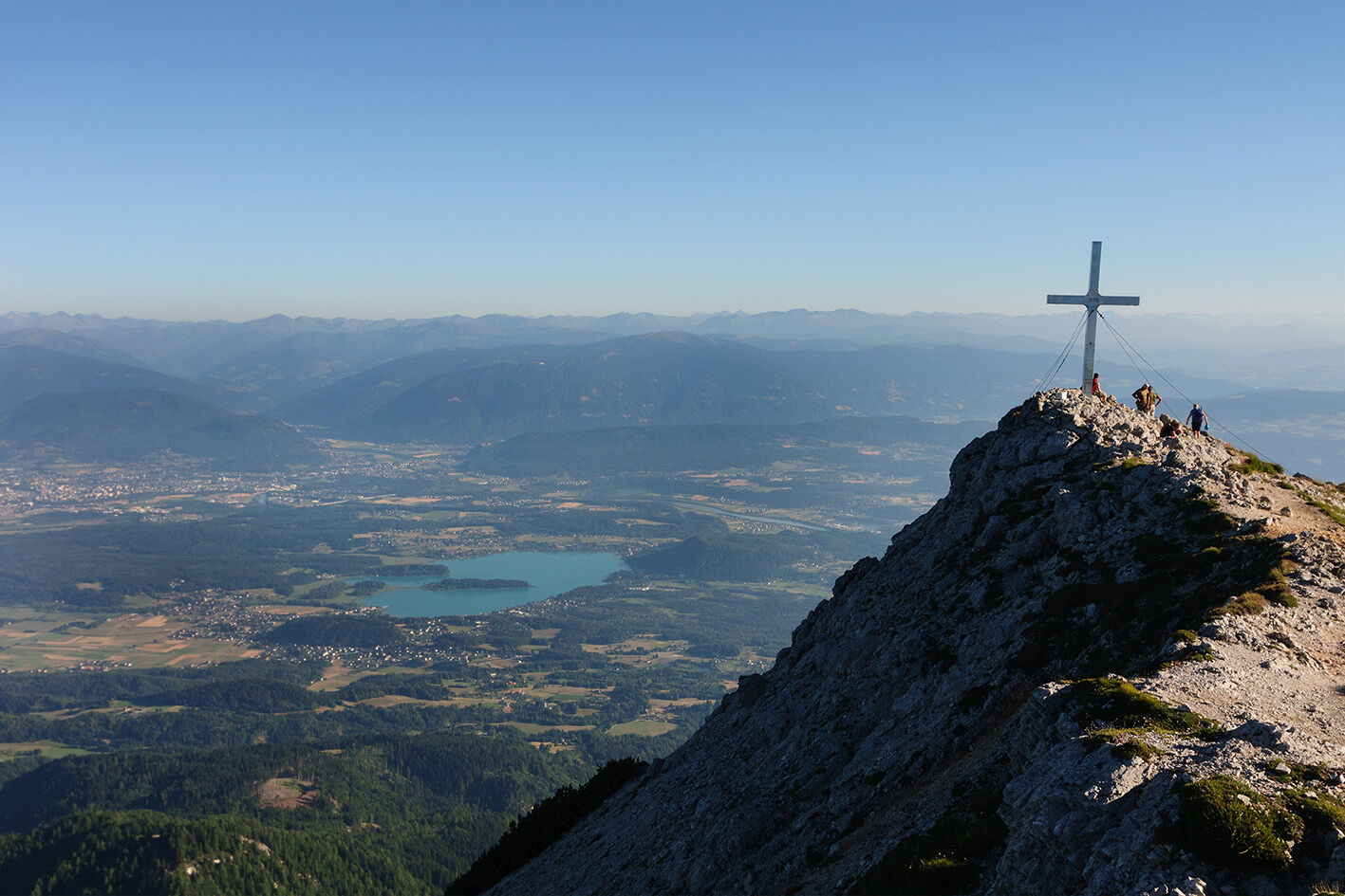
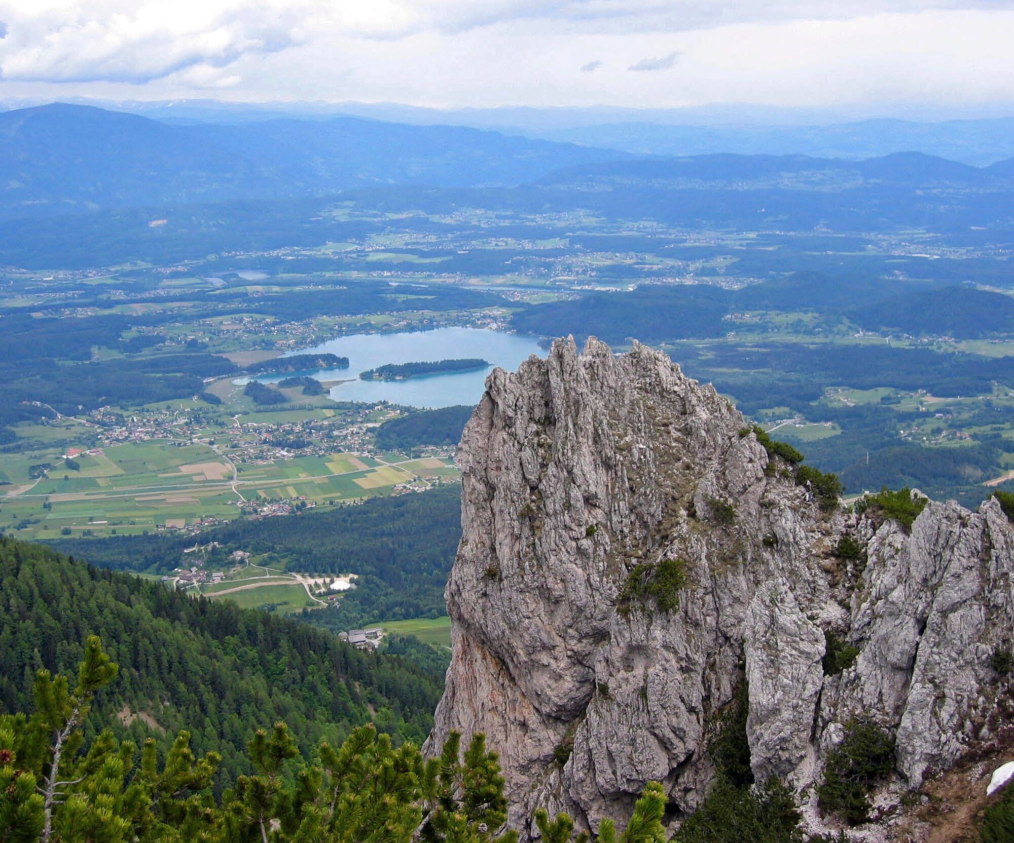
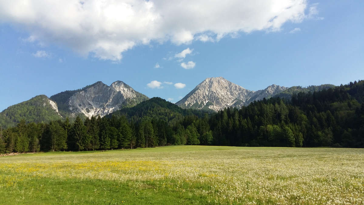
Imposing, impressive, and expressive, the Mittagskogel rises above Lake Faak. The well-marked path leads through dwarf pine slopes and scree gullies to the summit cross at 2145 meters, where you are offered...
Imposing, impressive, and expressive, the Mittagskogel rises above Lake Faak. The well-marked path leads through dwarf pine slopes and scree gullies to the summit cross at 2145 meters, where you are offered a panoramic view from the Julian Alps, the Gail and Gurk valleys to the Hohe Tauern. A hearty snack is then prepared for you at the Berta Hut to regain strength for the descent.
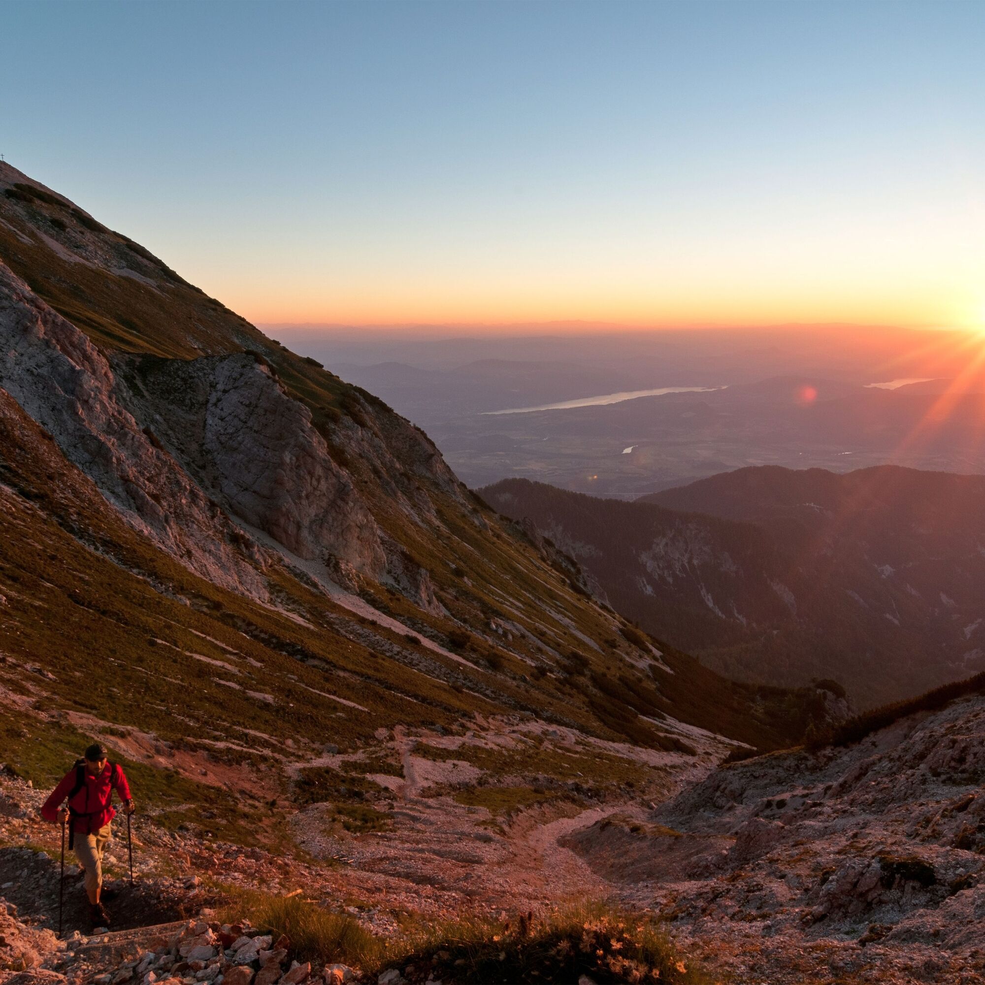
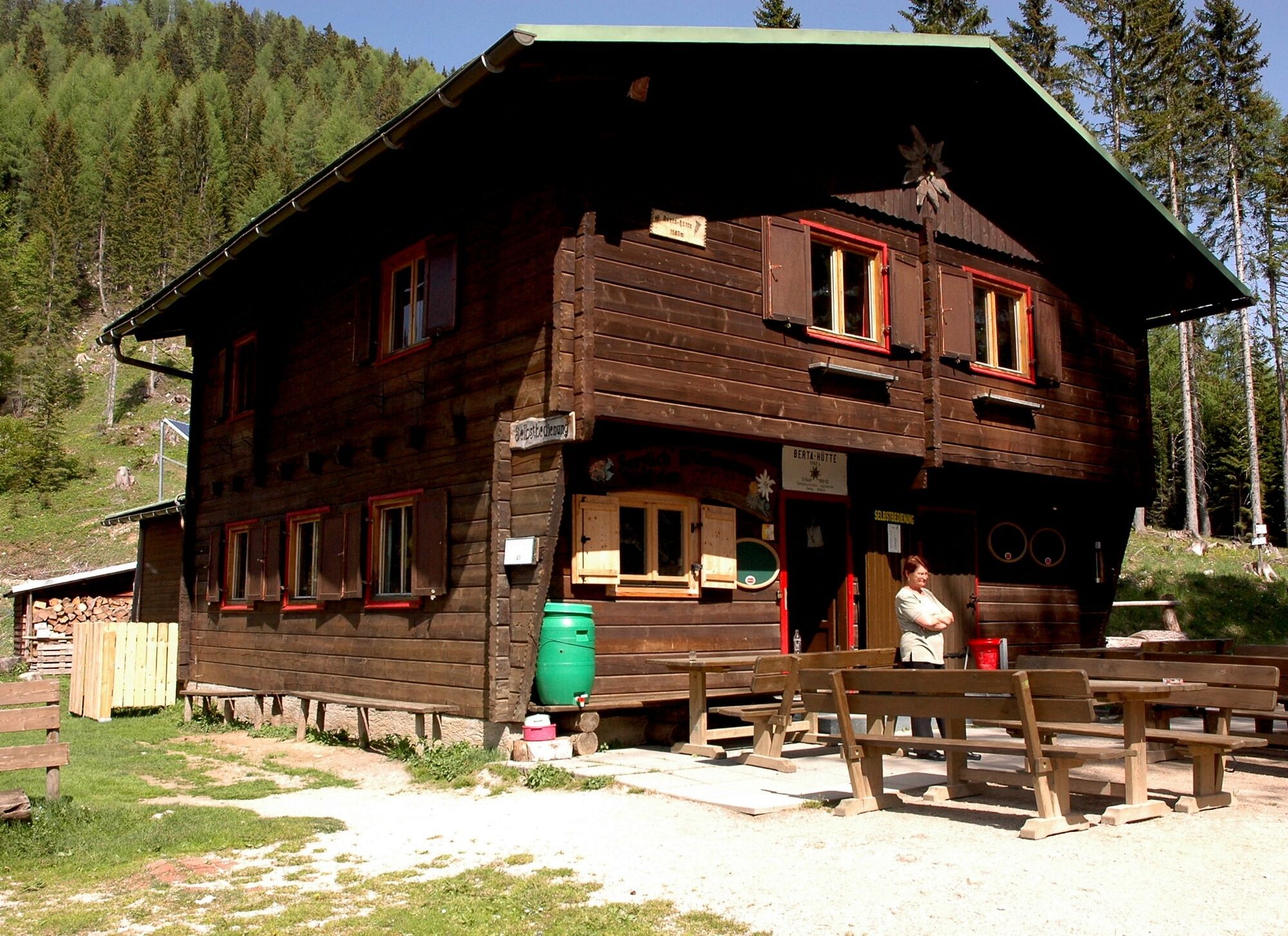
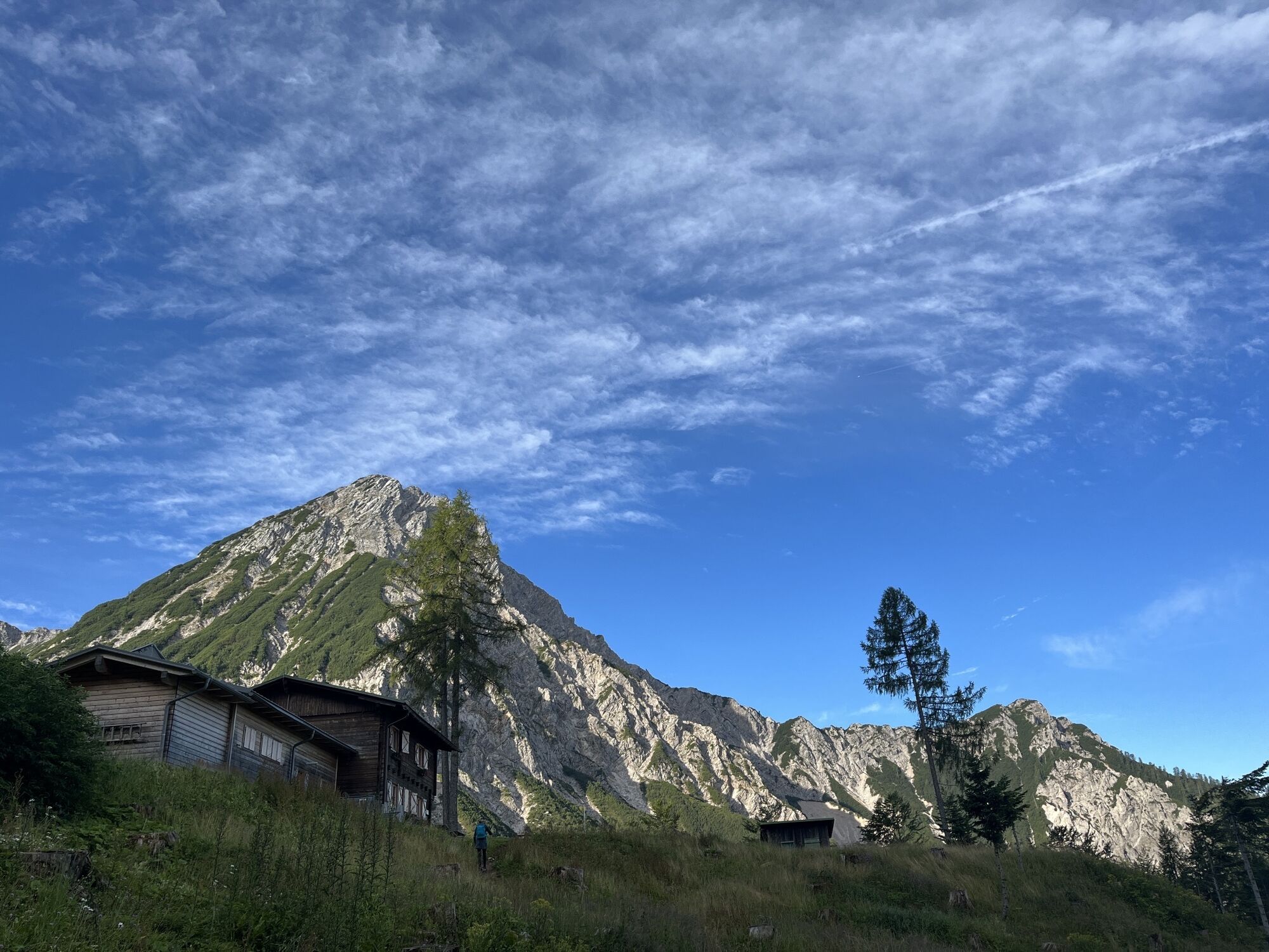
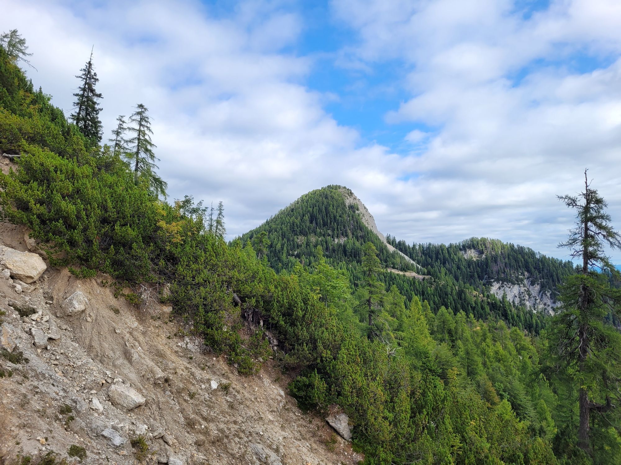
From the Hotel Mittagskogel, the road branches off towards the Berta Hut. You can drive as far as possible. Follow the red-white-red trail markers 681 or 603 to the Ferlacher Sattel (Berta Hut). From there, take the Hornerweg, always following marker 680, through dwarf pine slopes and scree gullies to the Mittagskogel notch. Then continue over the southeast slope to the summit cross of Mittagskogel (2145m). For the descent, return the same way to the Ferlacher Sattel. From here, ascend slightly to the managed Berta Hut (1567m). After a short rest, there are two options for further descent: a shady forest trail that leads downhill on the right side from the Berta Hut, crossing the forest road several times, or directly the forest road.
Tak
Sturdy footwear, rain jacket, provisions
Follow the B85 (Rosentalstraße) to Unteraichwald and turn off at the Hotel Mittagskogel onto Kopeiner Straße. At the Kopein junction, leave the paved road and turn right towards the Berta Hut.
There are some parking spaces along the forest road.
Stop at the Berta Hut. As an easier alternative, you can hike from the Berta Hut to the Ferlacher Spitze.
Popularne wycieczki w okolicy
- 4,6
Rotschitza Klamm Klettersteig B/C
średniVia ferrata3,73 km - 3,9
Faakersee Rundweg
światłoWędrówka9,55 km - 3,3
Around Lake Ossiach
średniJazda na rowerze68,7 km - 4,3
Mittagskogel - Rundwanderung
ciężkiWędrówka14,5 km - 5,0
Kathreinkogel
średniWędrówka3,56 km - 4,4
Hüttenkult - Koča v Krnici
średniWędrówka14,9 km - 4,5
Baumgtn. Höhe, Mallestiger Mittags- und Schwarzkogel
ciężkiWędrówka zimą10,7 km - 4,4
E-Bike Route "Wörthersee - Ossiacher See"
średniJazda na rowerze46,7 km - 4,4
Mallestiger Mittagskogel
średniWędrówka8,17 km - 5,0
Saissersee round
średniWędrówka6,83 km
Wędrówki i tropienie


Nie przegap ofert i inspiracji na następne wakacje
Twój adres e-mail została dodana do listy mailingowej.