


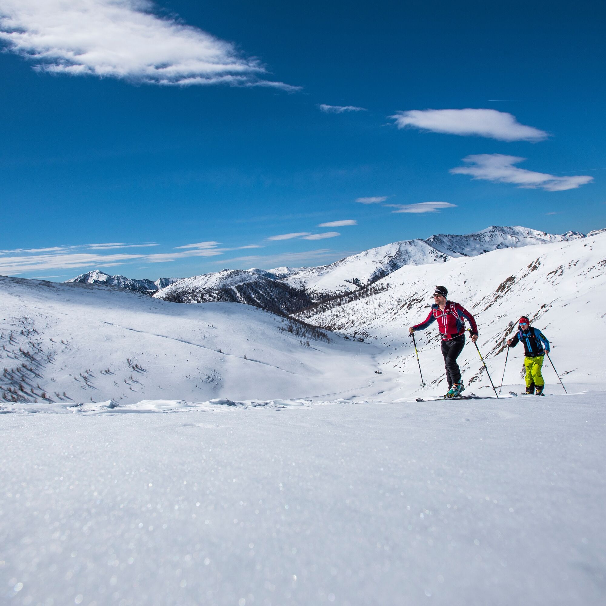
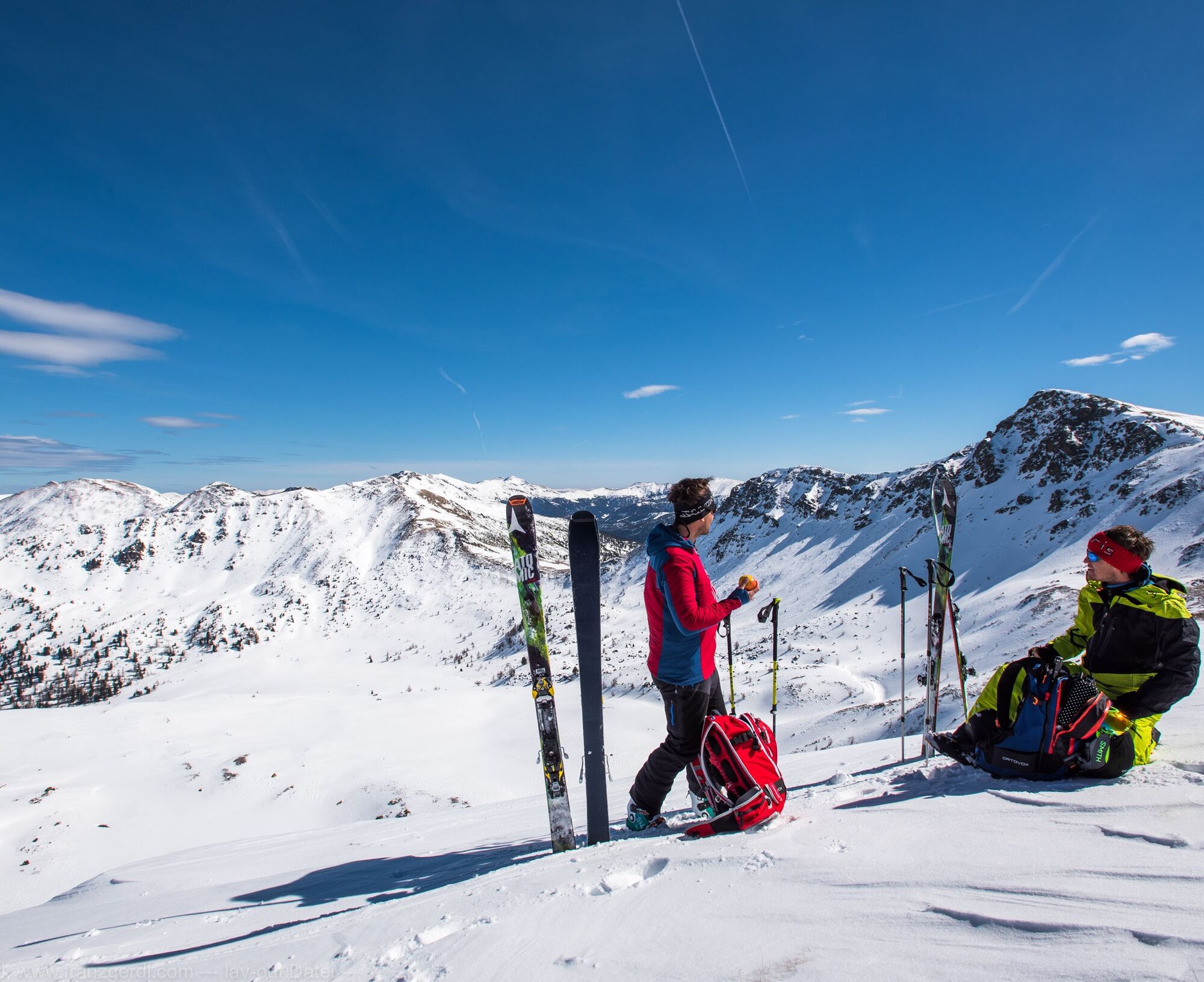
Nockberge-Trail: Ski route stage 2


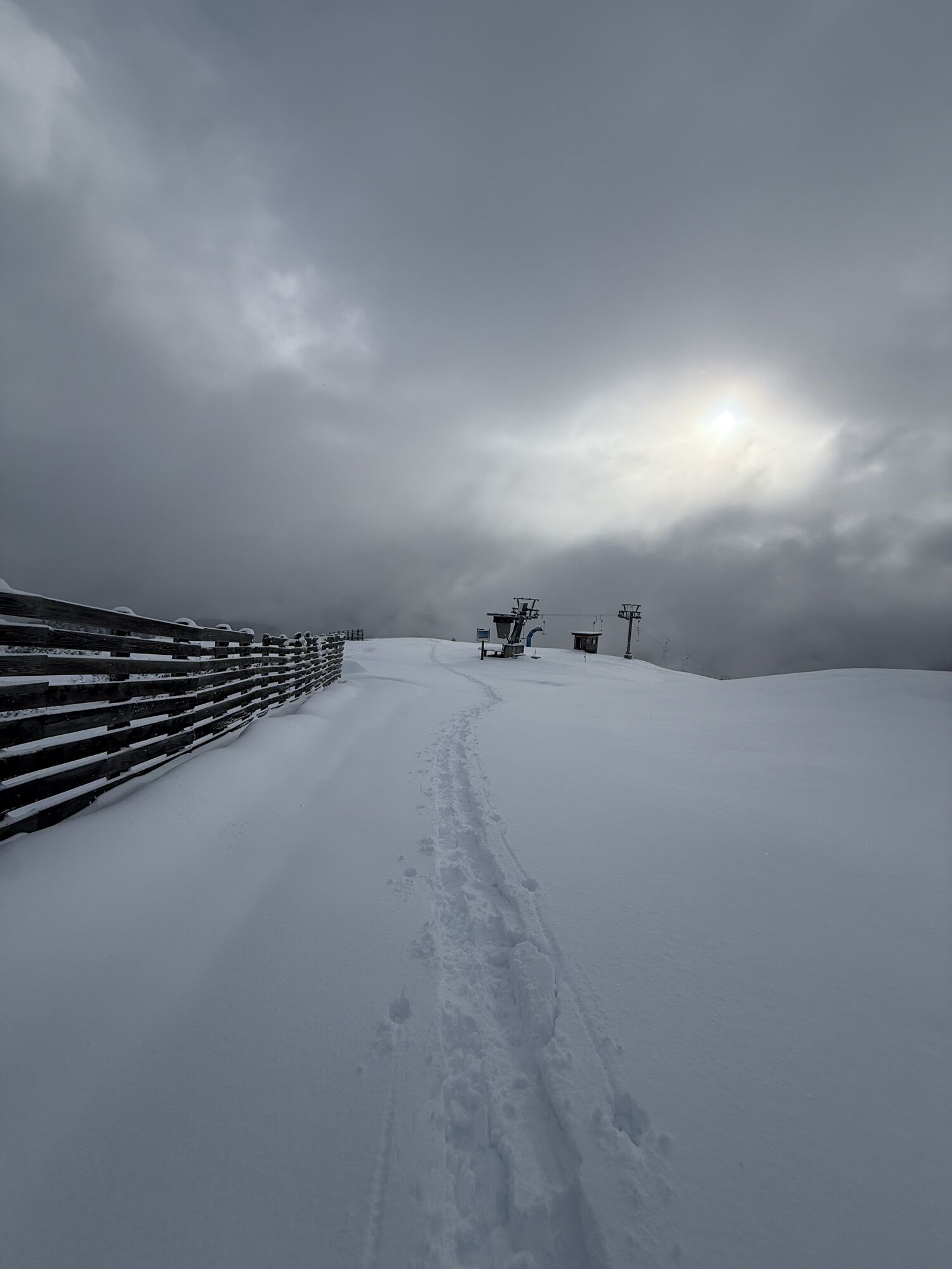

In winter 23/24 there will be no lift operation in the Innerkrems. All the more reason why this stage deserves the title "King's Stage"! It is the longest stage of the Nockberge-Trail ski crossing and...
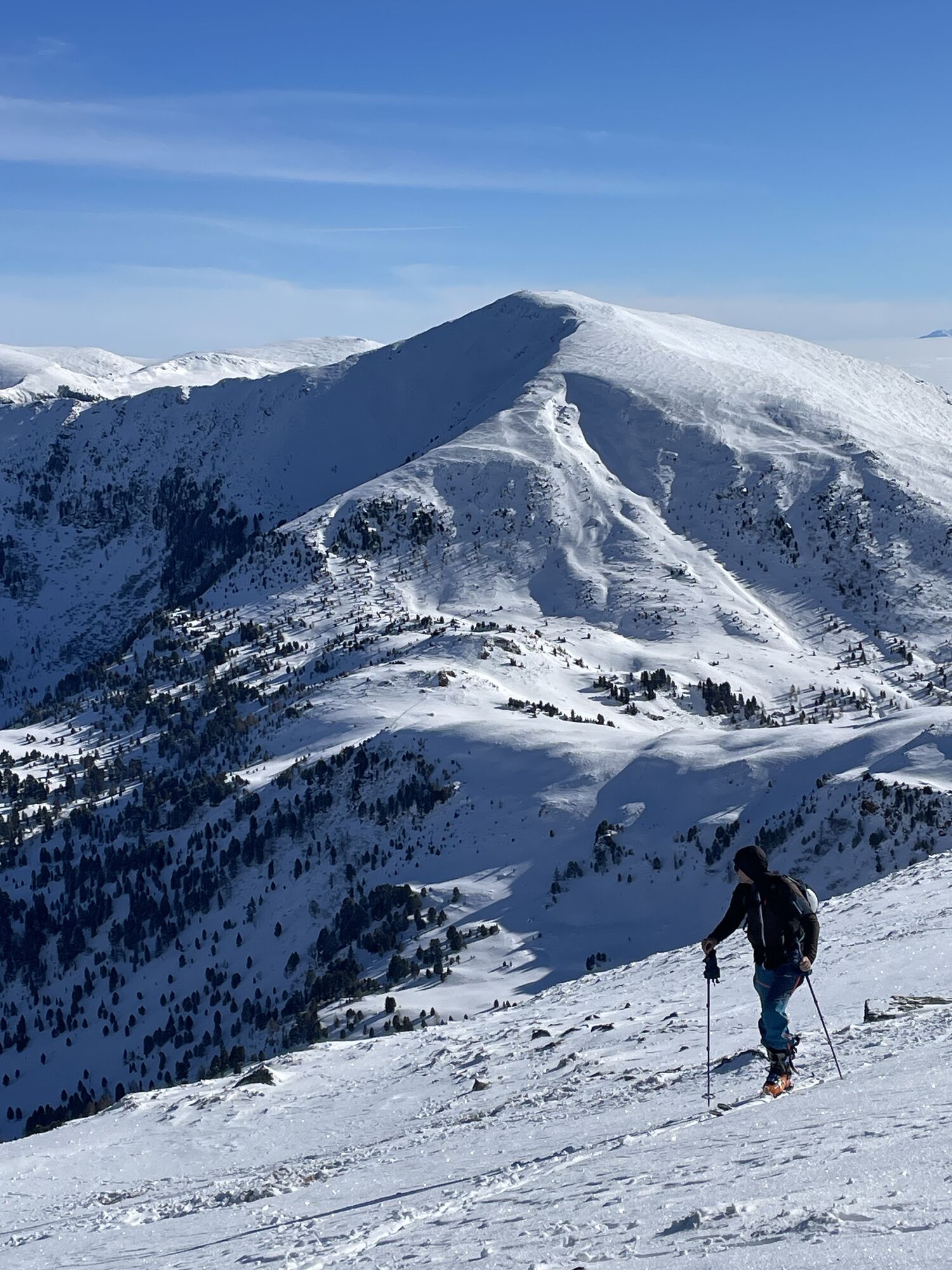
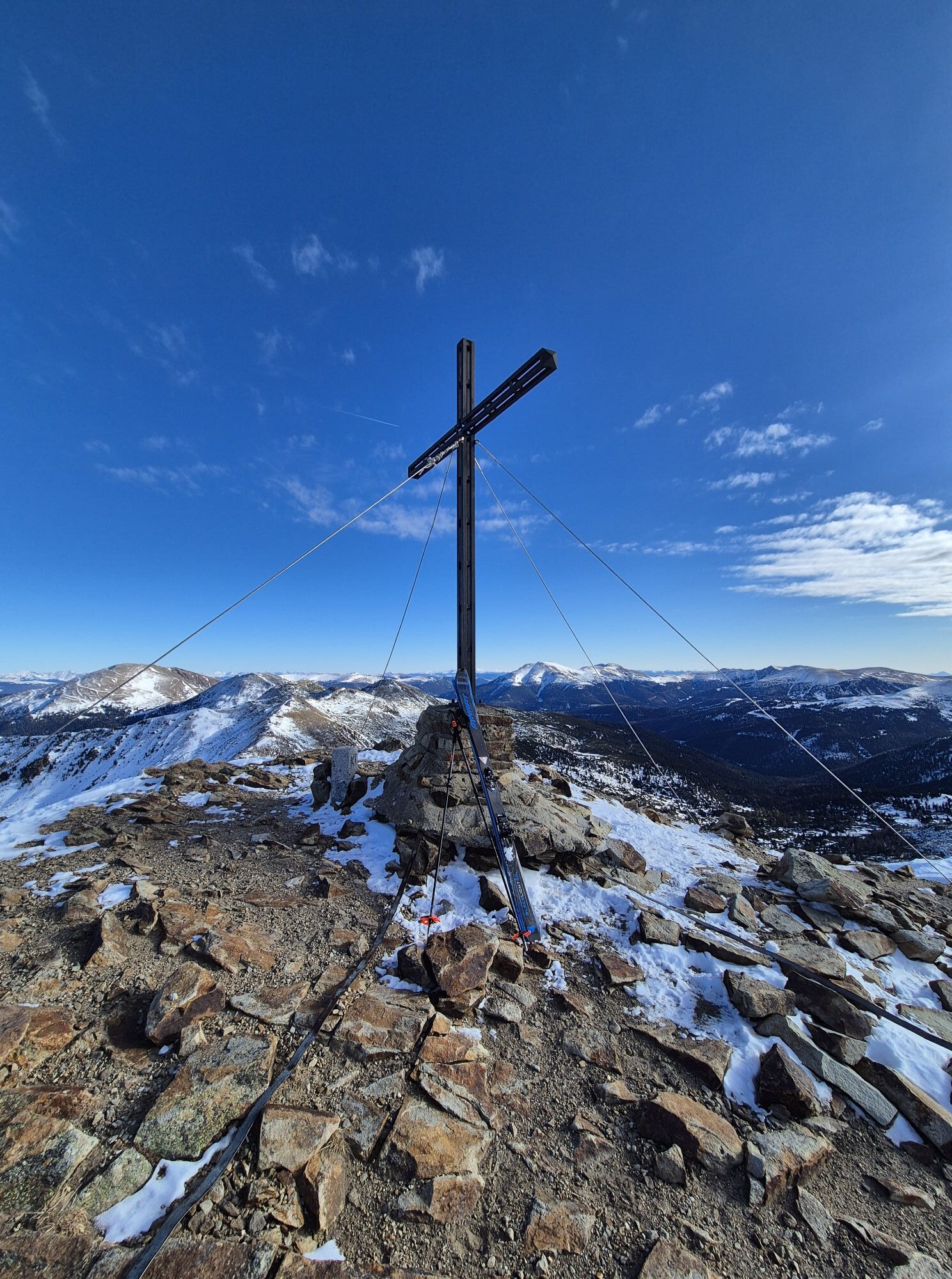
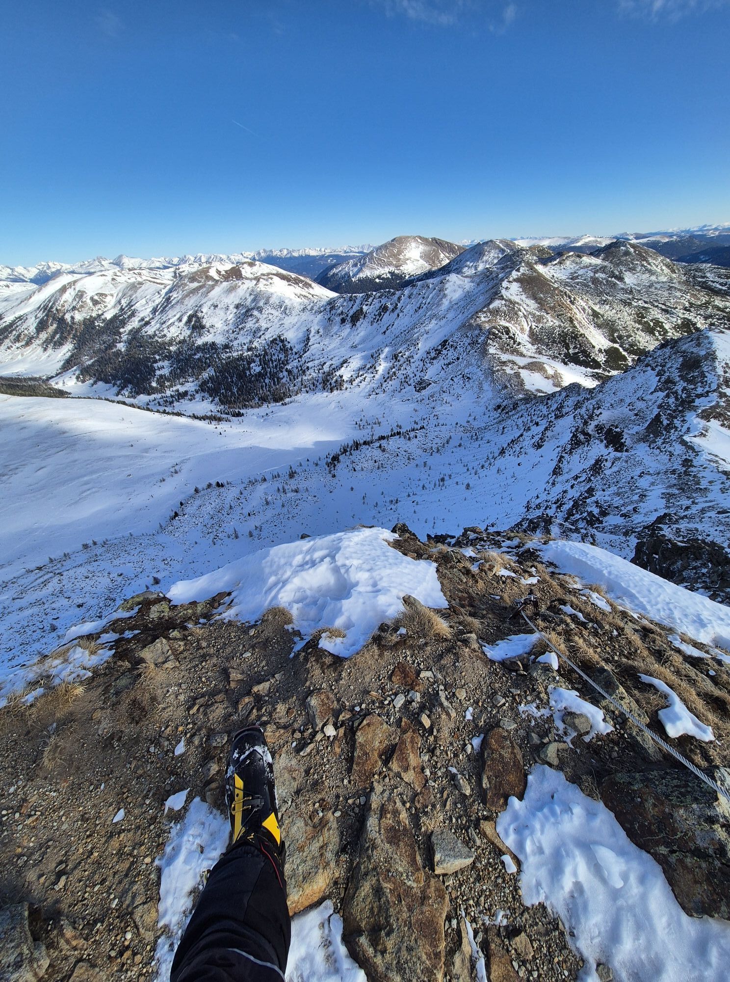
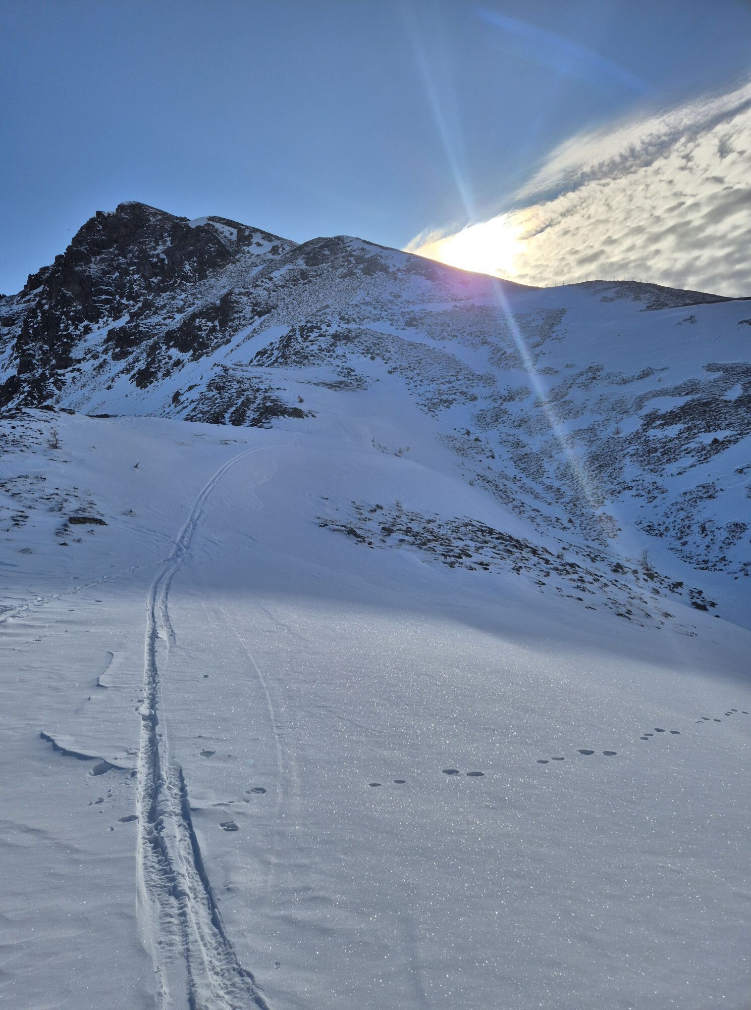
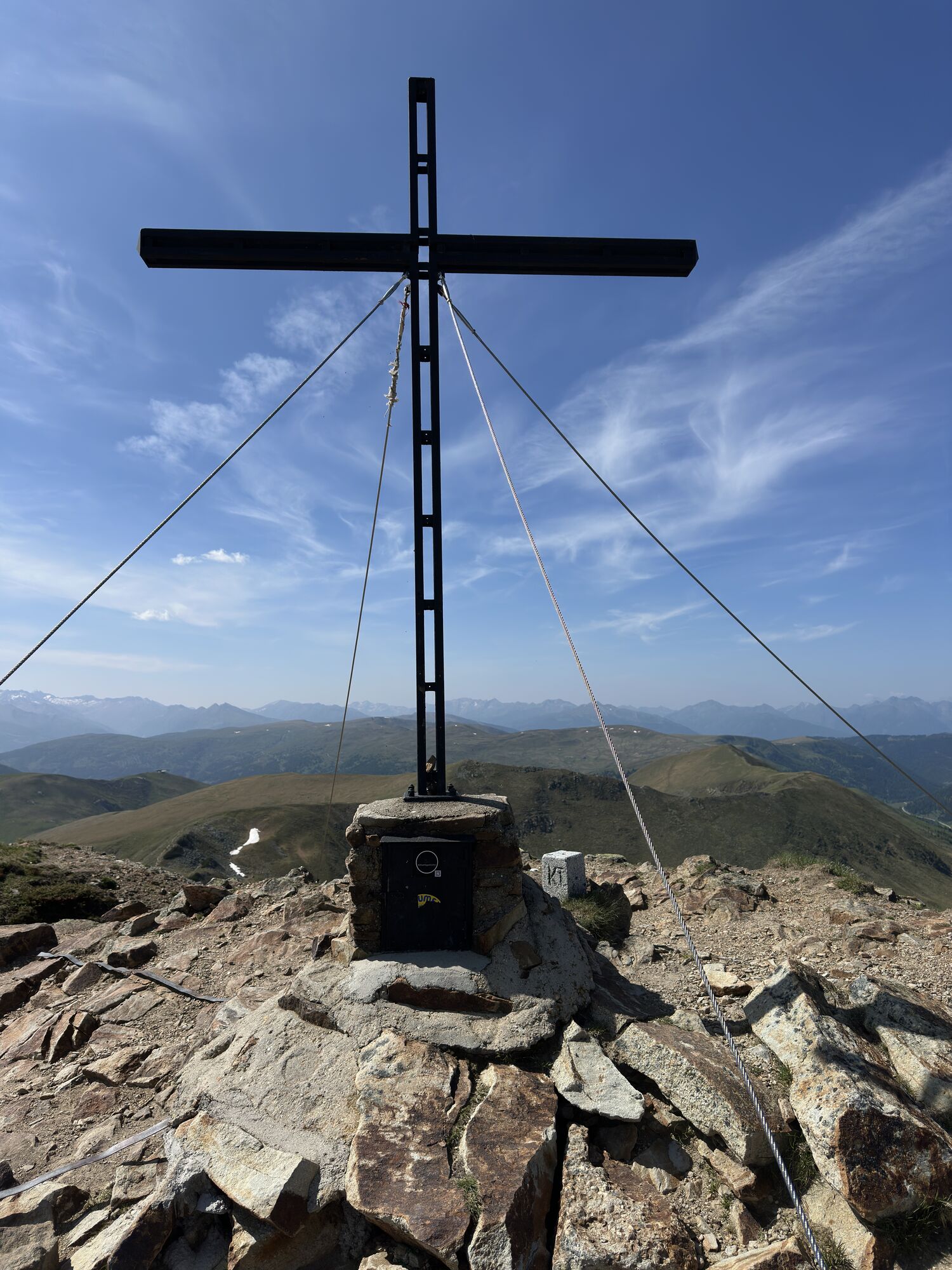
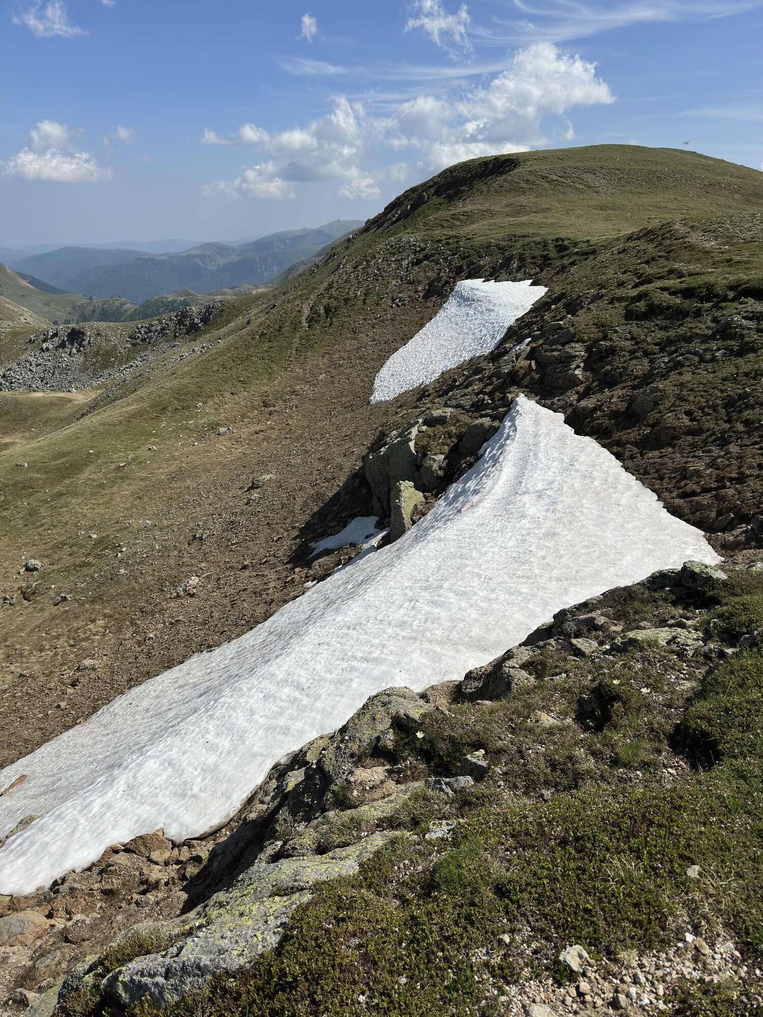
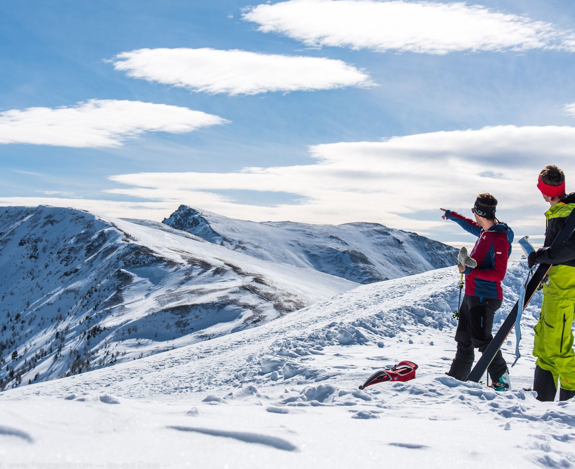
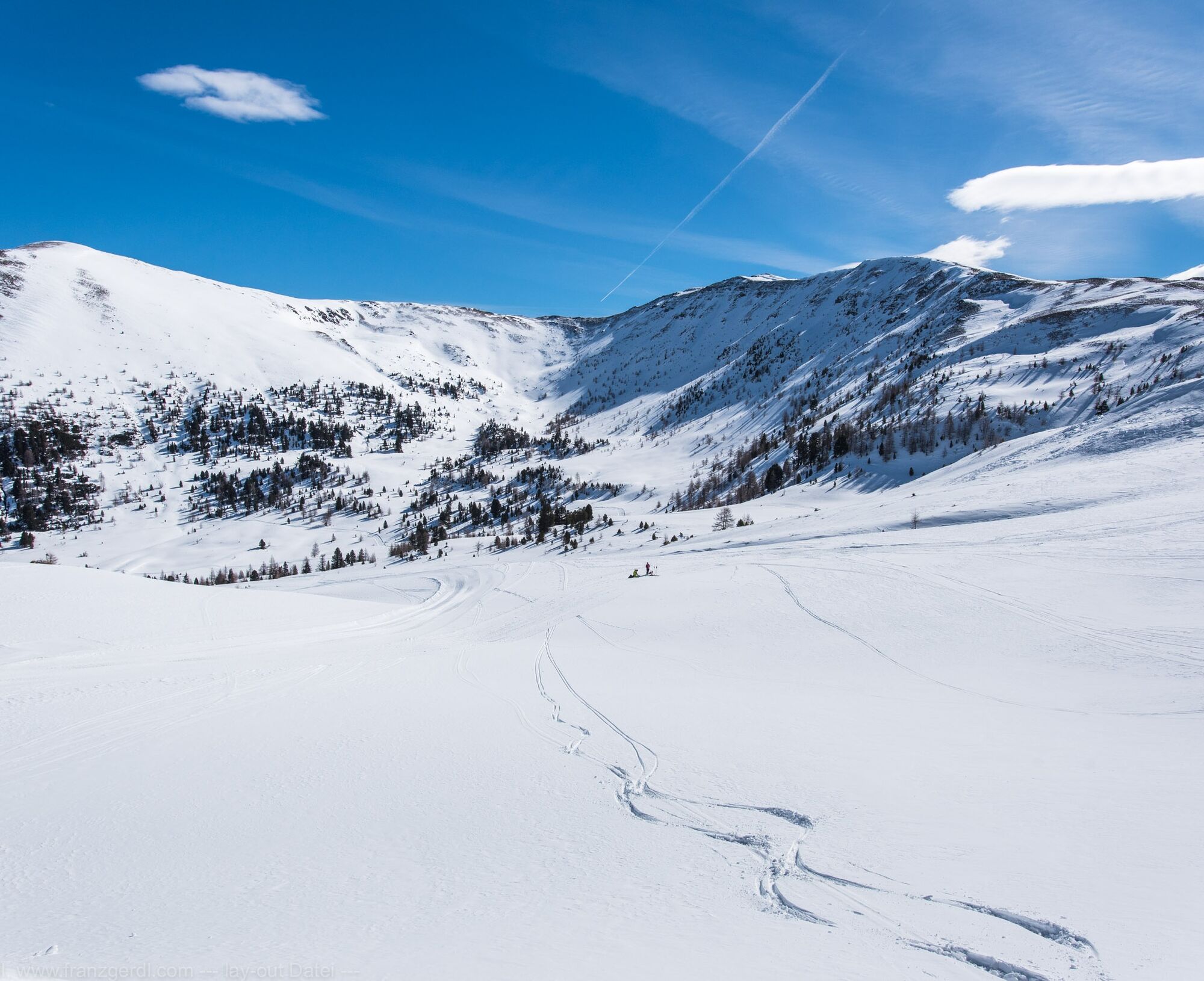
In winter 23/24 there will be no lift operation in the Innerkrems. All the more reason why this stage deserves the title "King's Stage"! It is the longest stage of the Nockberge-Trail ski crossing and leads through the heart of the UNSECO Nockberge Biosphere Reserve with several peaks (one of them is the Königstuhl - at 2,336m the highest point of the entire trail) and two wonderful descents.
Tip:
Hike carefree on the Nockberge-Trail! The official Nockberge-Trail Info & Booking Center with the award-winning Trail Angels team will be happy to support you. Whether you are an advanced hiker or a beginner, the competent and helpful booking center team is there to help. Especially if they want to combine personal freedom and a longing for something special with service, comfort and safety on their hike.
Information and booking:
Official Nockberge-Trail Info & Booking Center
powered by Trail Angels
Obervellach 15, 9821 Obervellach
+43 4782 93093
info@nockberge-trail.com
www.nockberge-trail.com
The UNESCO Nockberge Biosphere Reserve
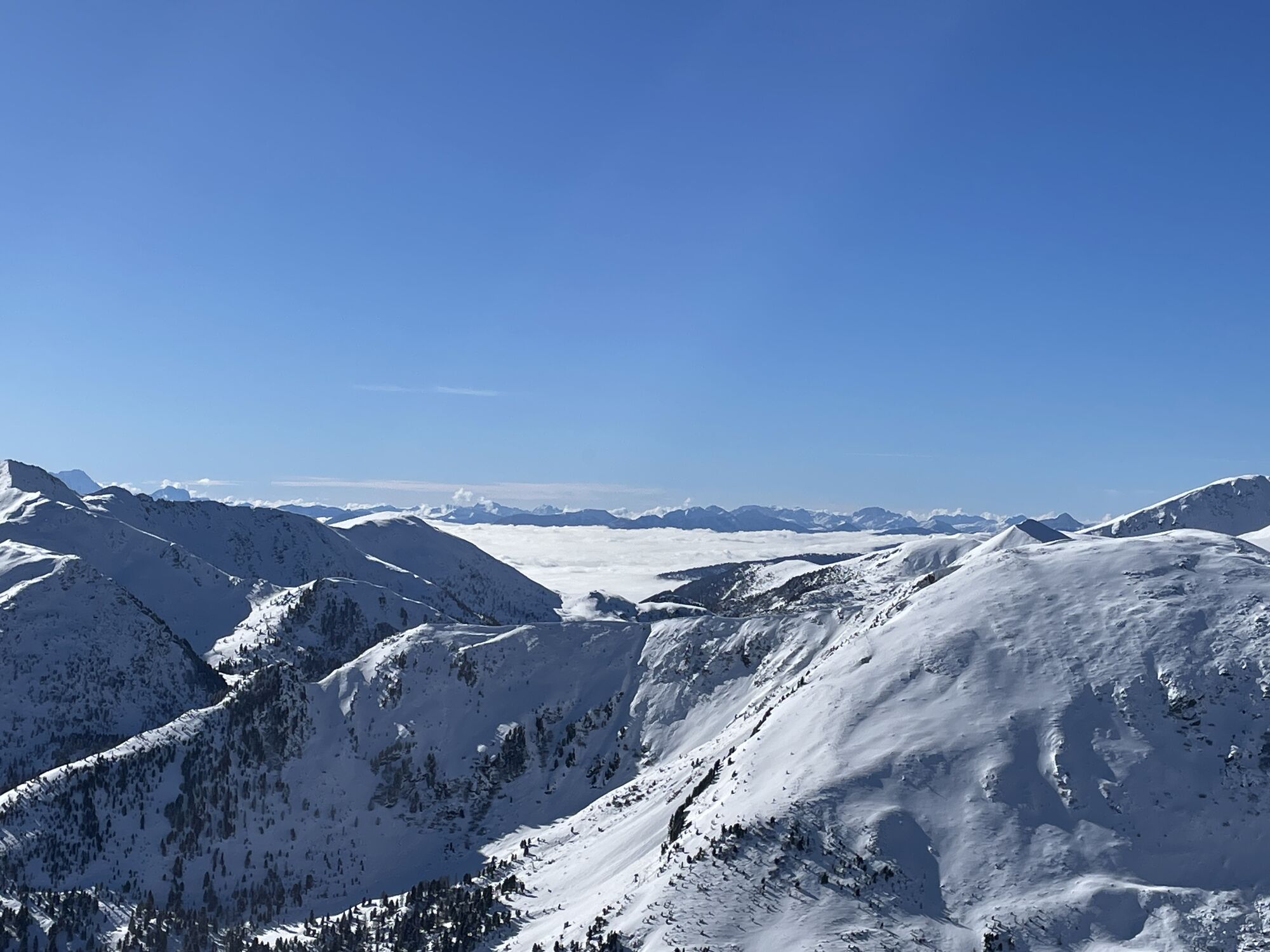
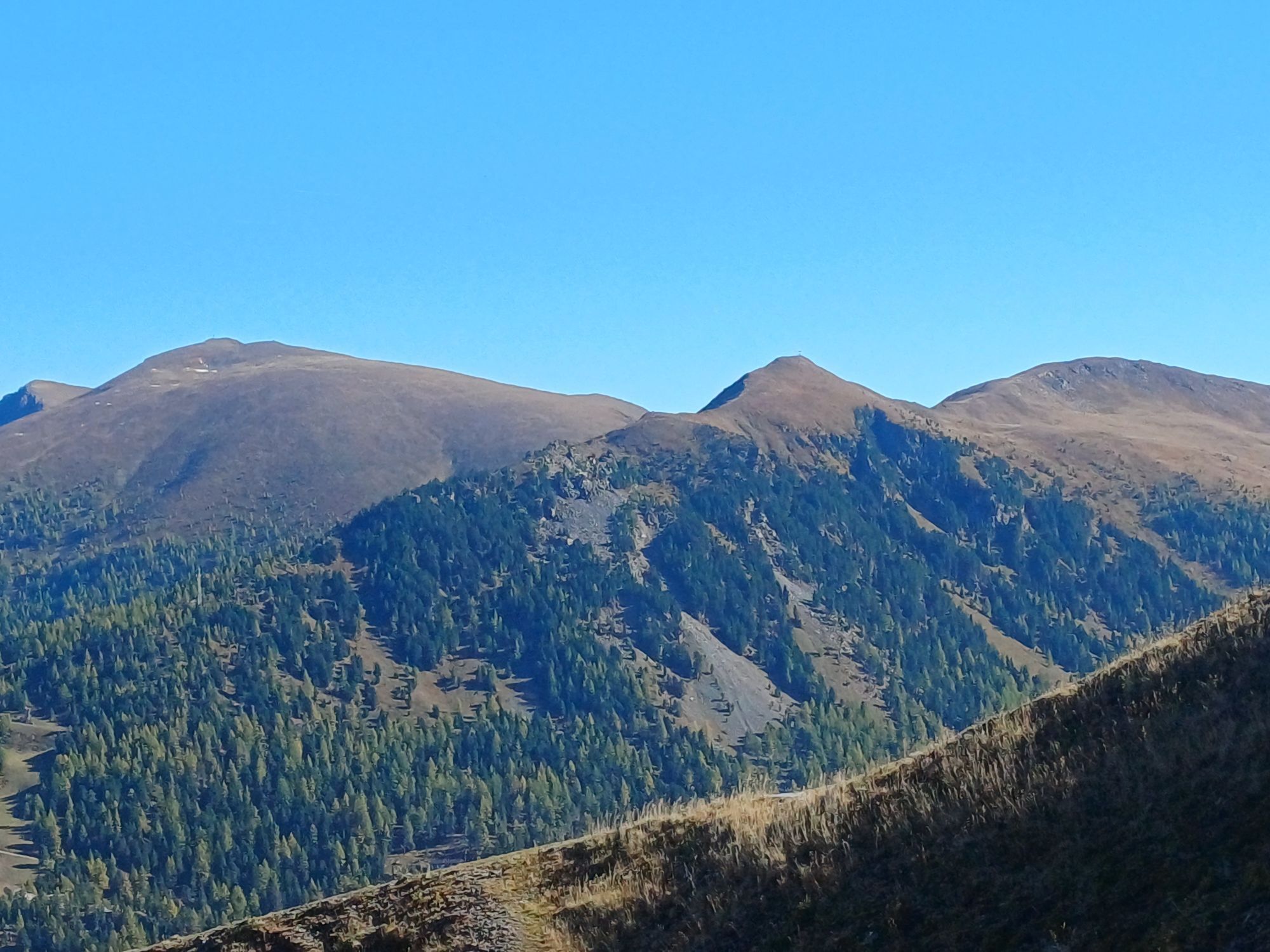
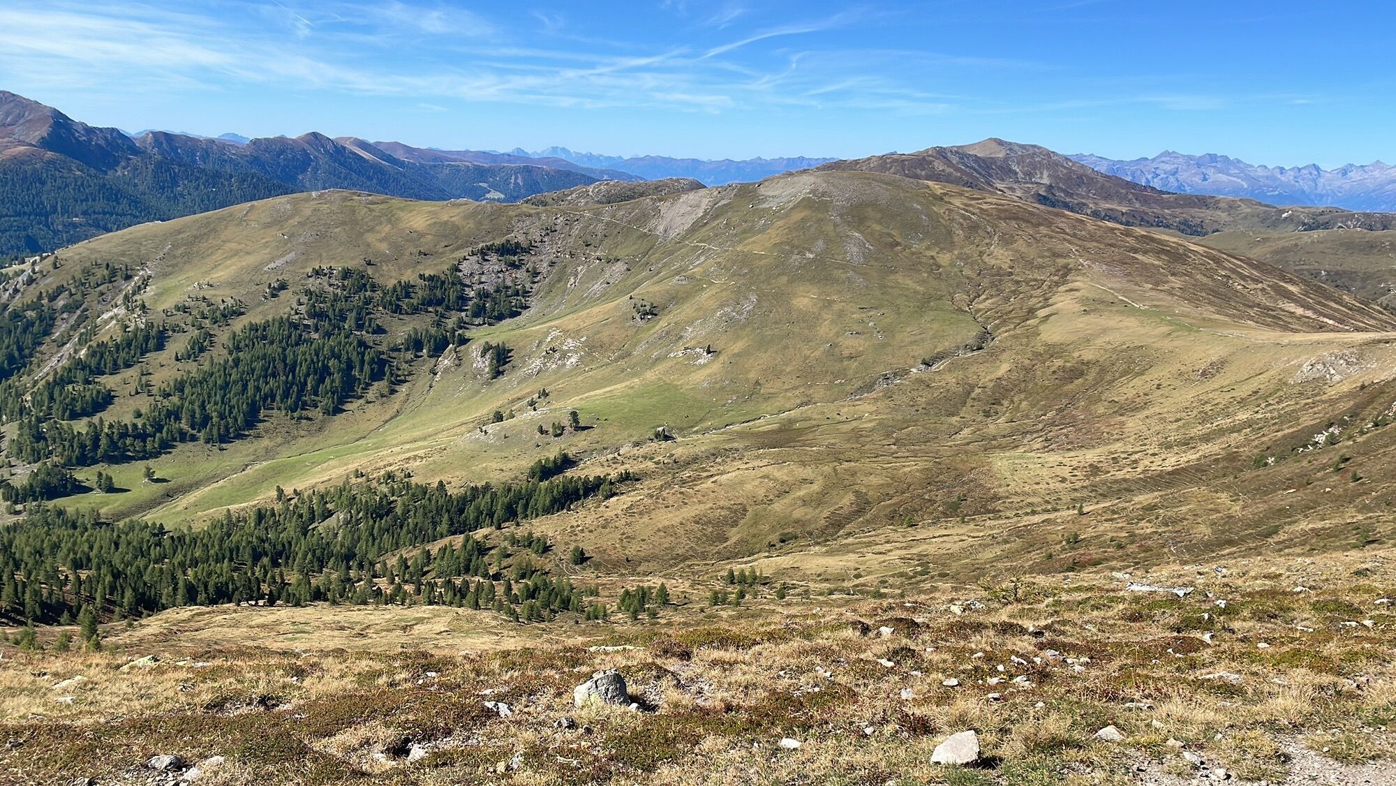
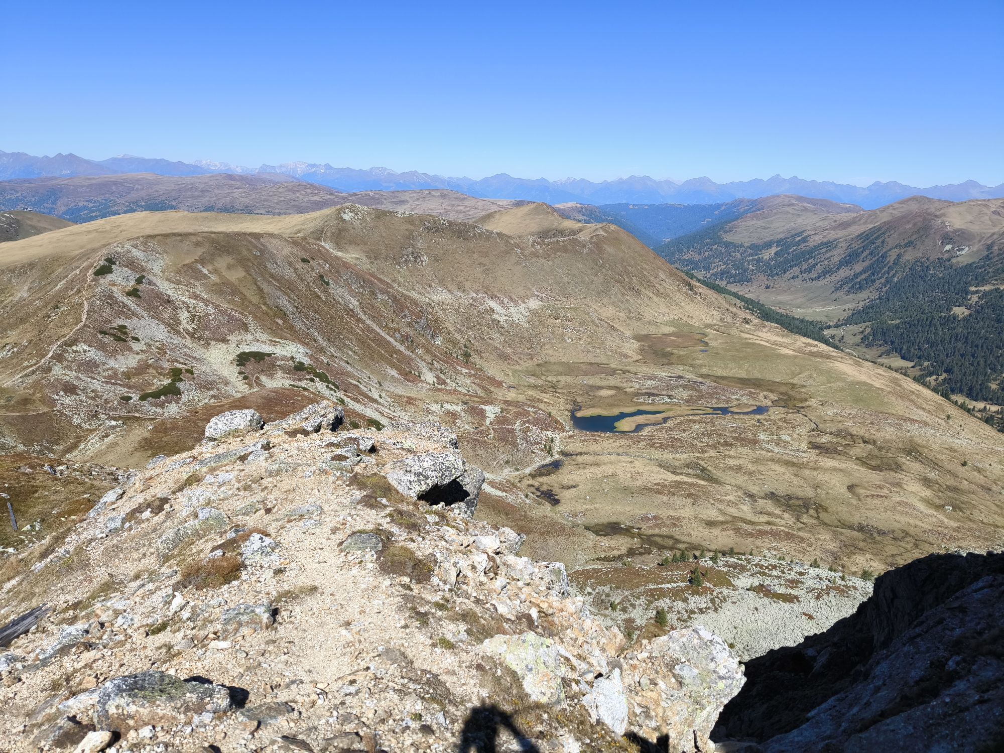
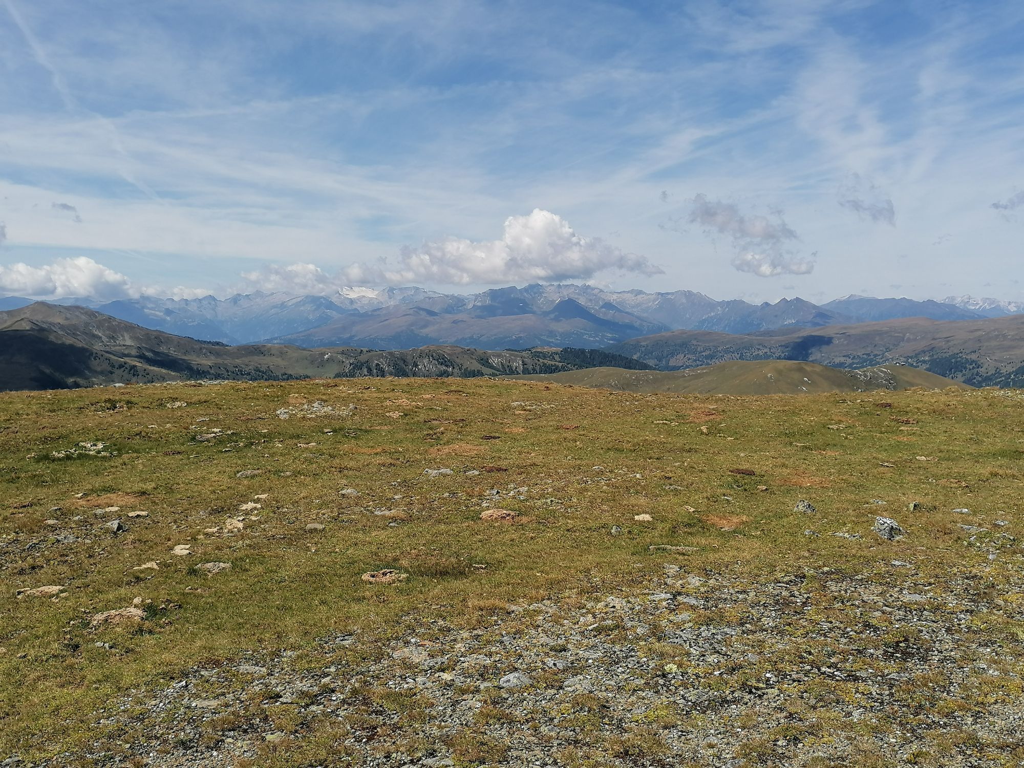
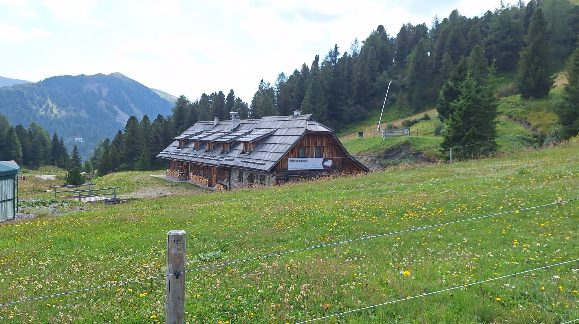
Sublime, mighty and unique - the UNESCO Carinthian Nock Mountains Biosphere Reserve is an Alpine jewel with unique natural treasures, a diverse cultural landscape and rare animal and plant species. People have lived here in harmony with nature for centuries. Gently rolling hills with peaks over 2,400 meters and picturesque alpine meadows - the Carinthian Nockberge Biosphere Reserve is a rare natural idyll in the middle of the Austrian Alps and covers an area of around 500 square kilometers.
It was designated a biosphere park by UNESCO in 2012. The park is based on the three pillars of sustainability: ecological balance, economic security and social justice. Here, people live in harmony with nature and respect and appreciate the rare flora and fauna.
Regional products, processed according to old traditions, bear witness to careful work according to traditional recipes. Trained biosphere park rangers promise unforgettable tours for families, and this knowledge is also passed on to schoolchildren in several educational programs. Whatever time of year you visit, the biosphere reserve always offers a treasure trove of experiences.
Further information on the UNESCO Carinthian Nock Mountains Biosphere Reserve can be found at: www.biosphaerenparknockberge.at
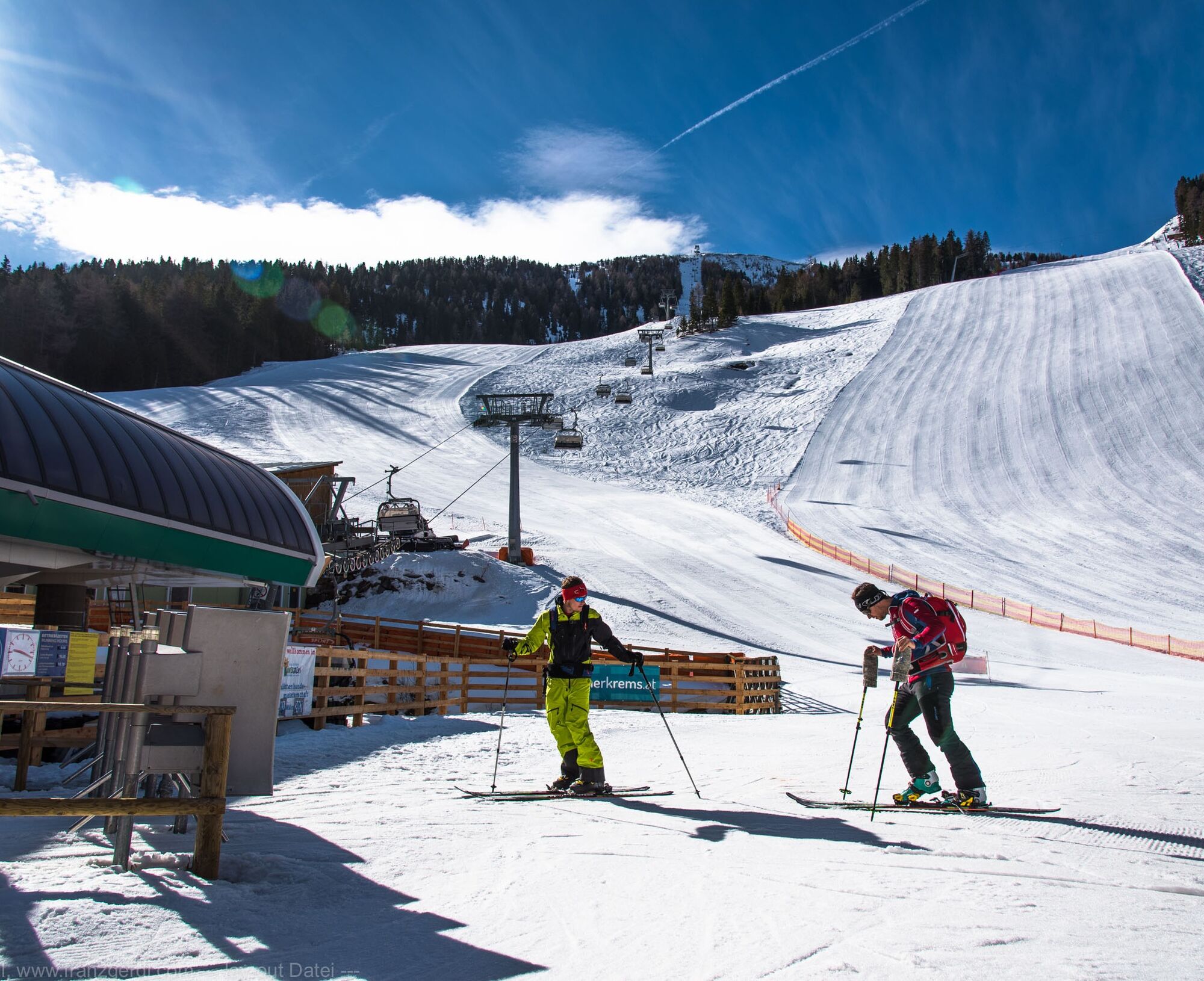
Attention: Also in winter 2022/23 the ski lifts in Innerkrems are not in operation!
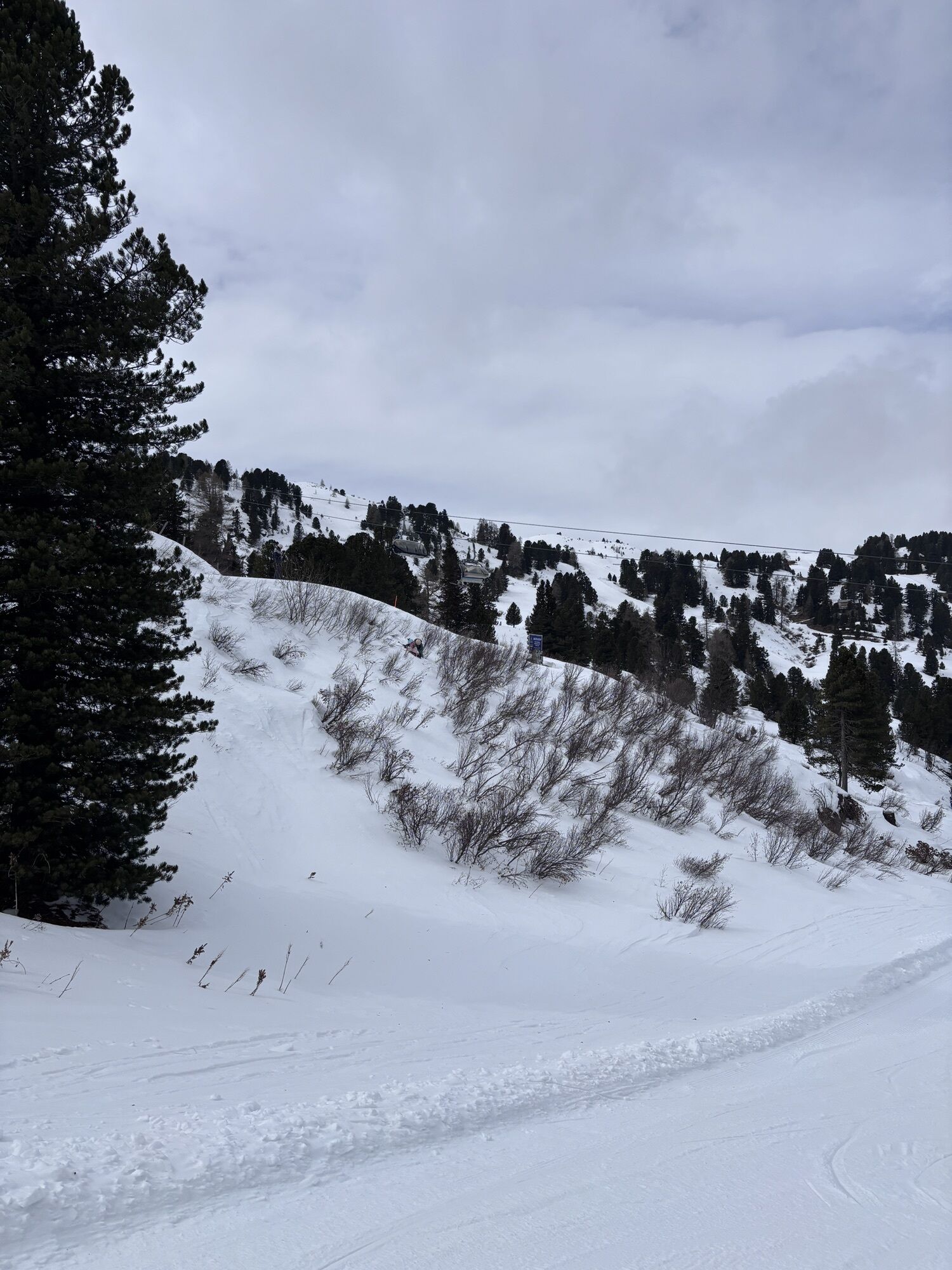
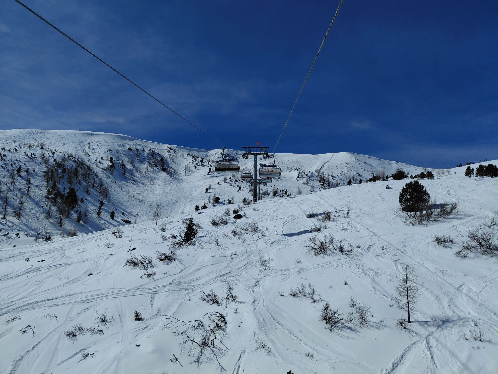
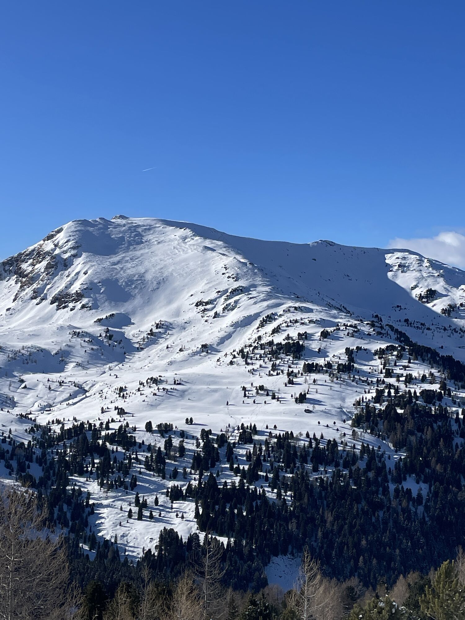
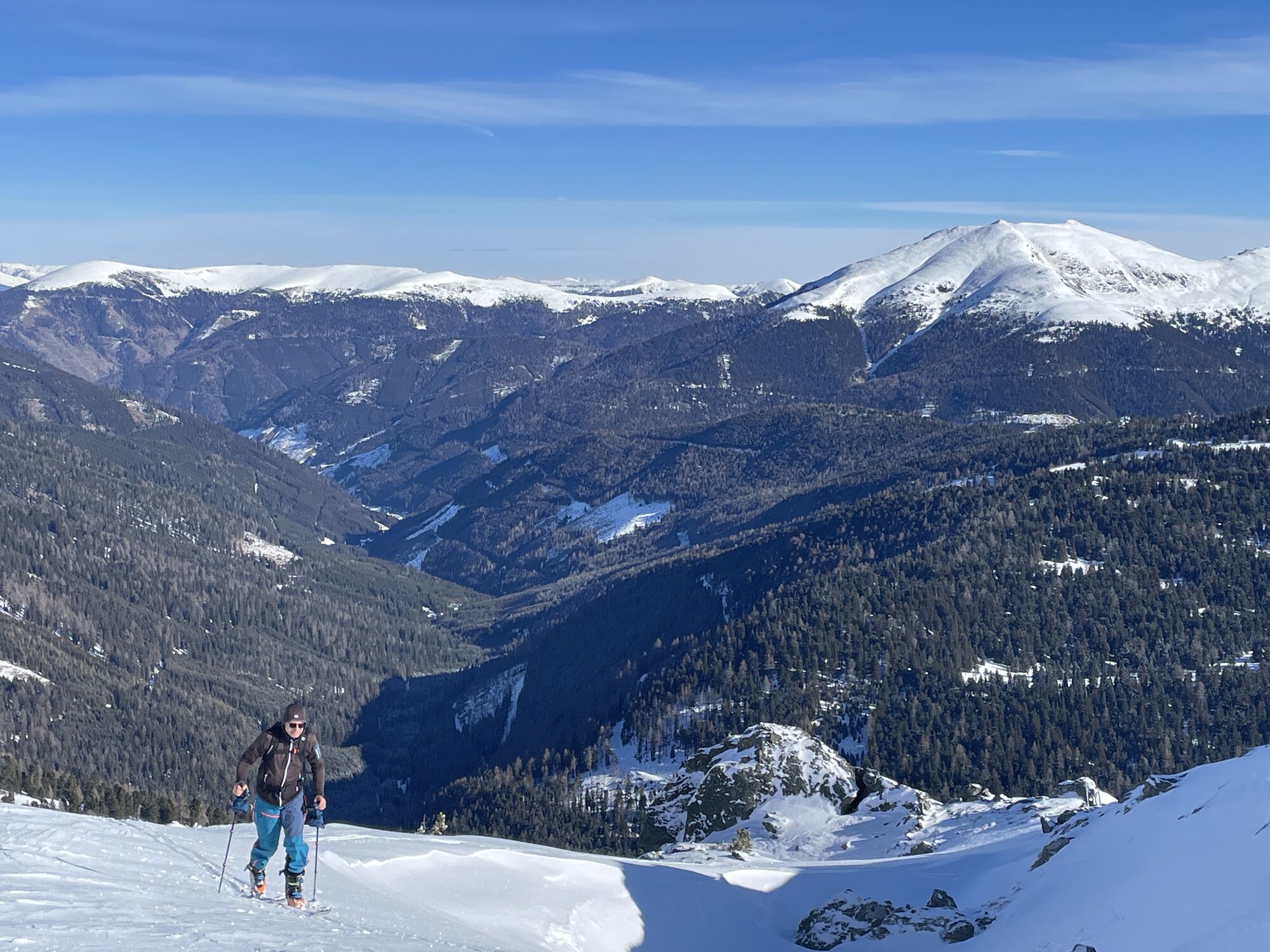
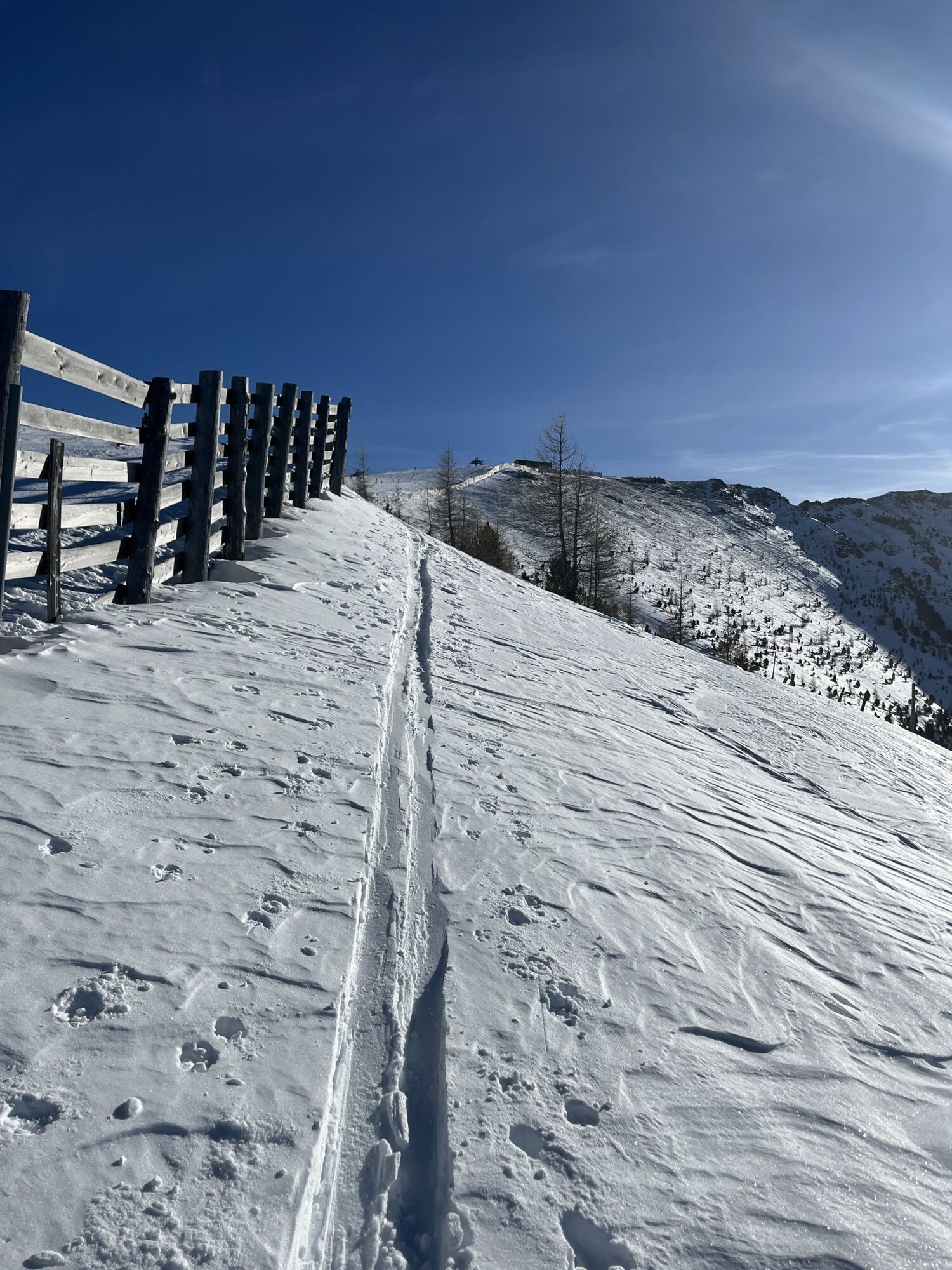
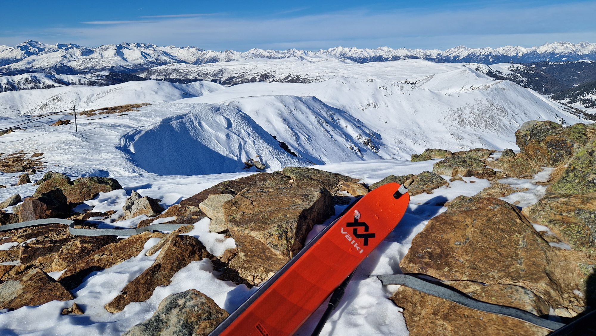
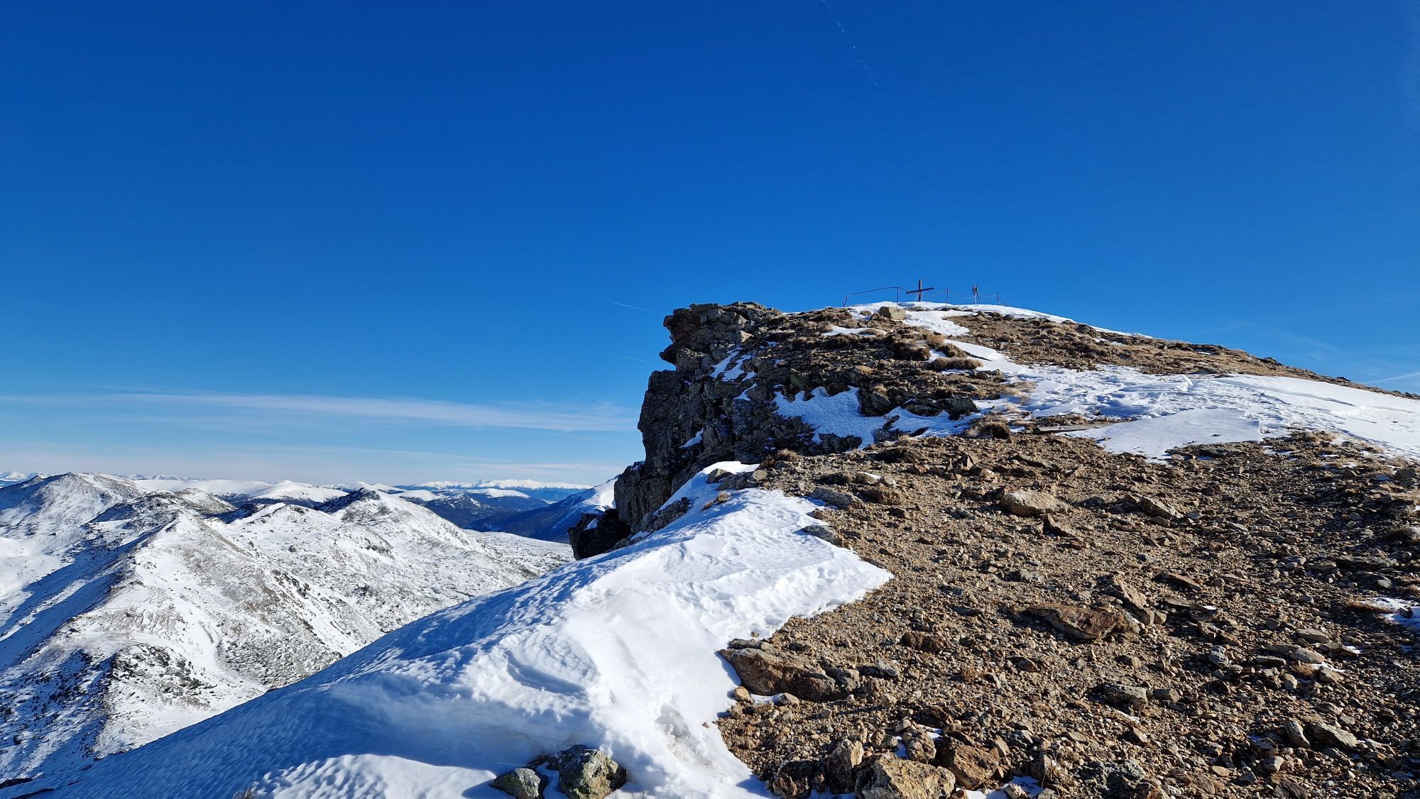
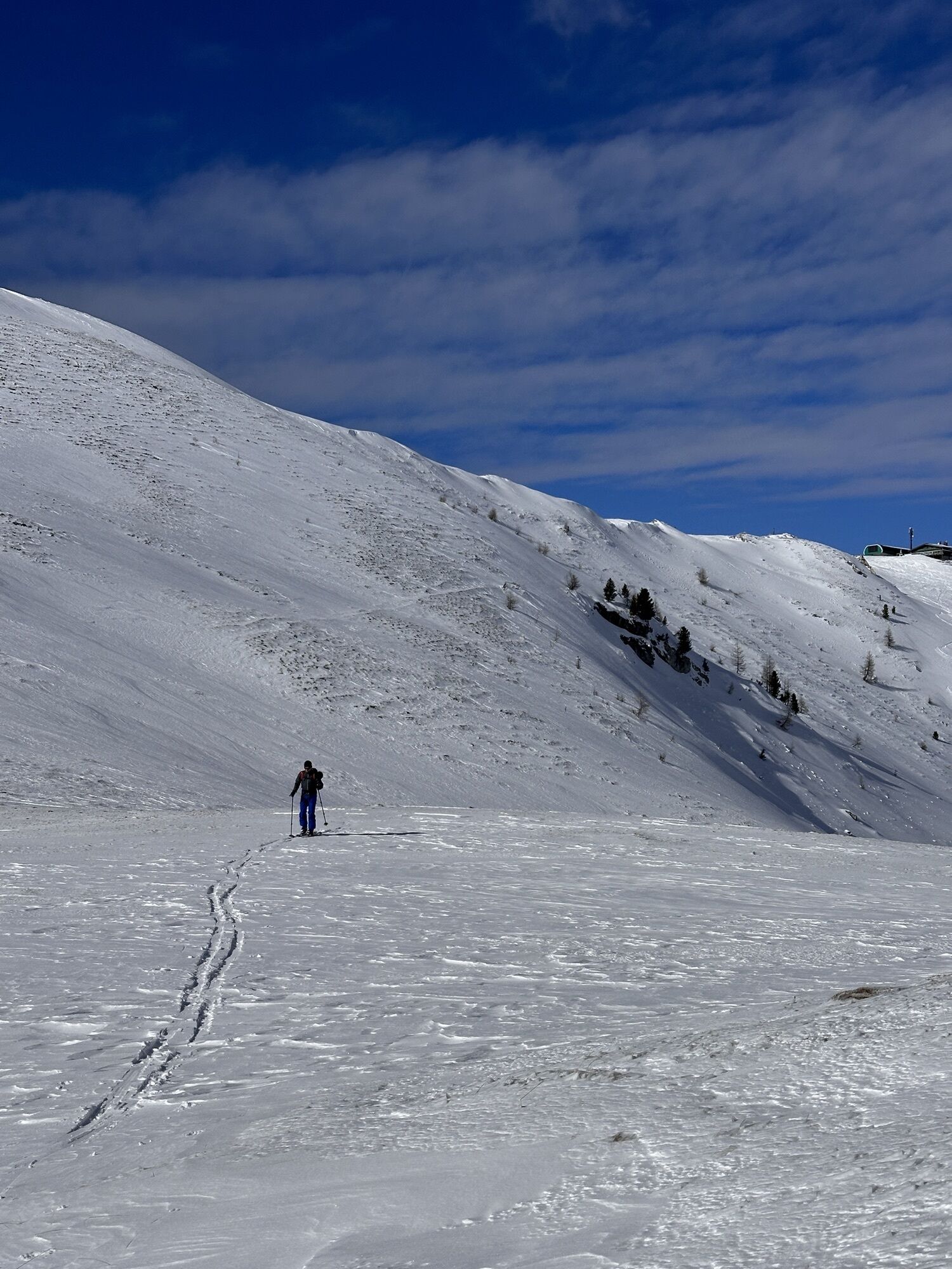
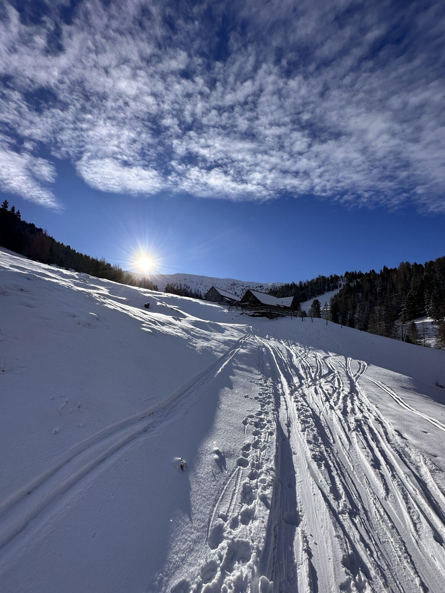
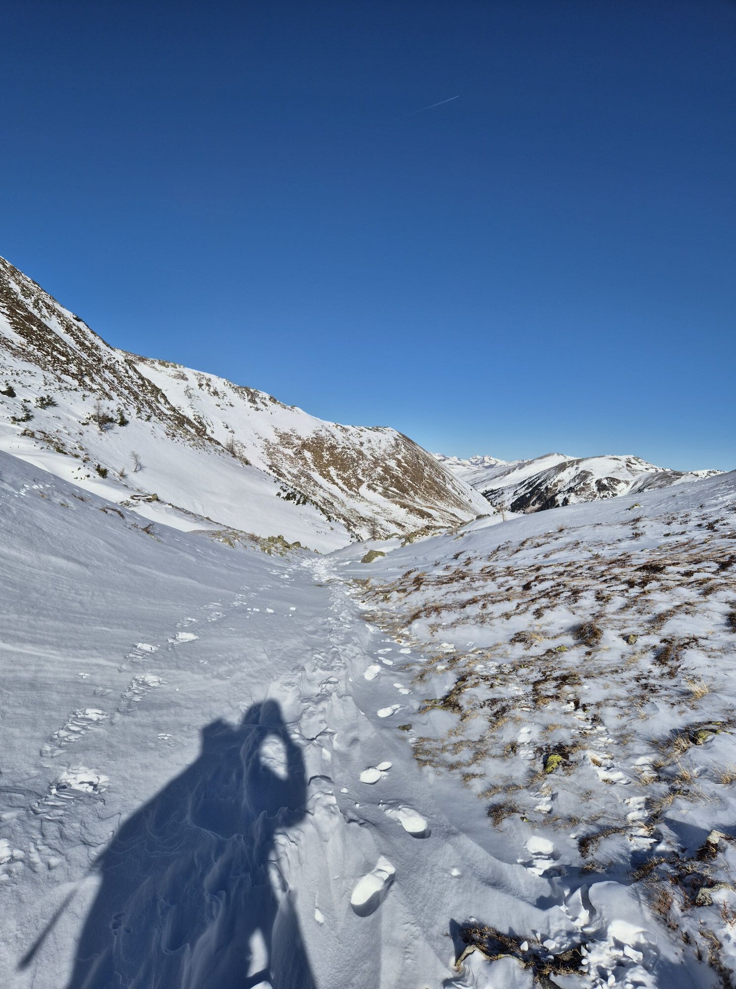
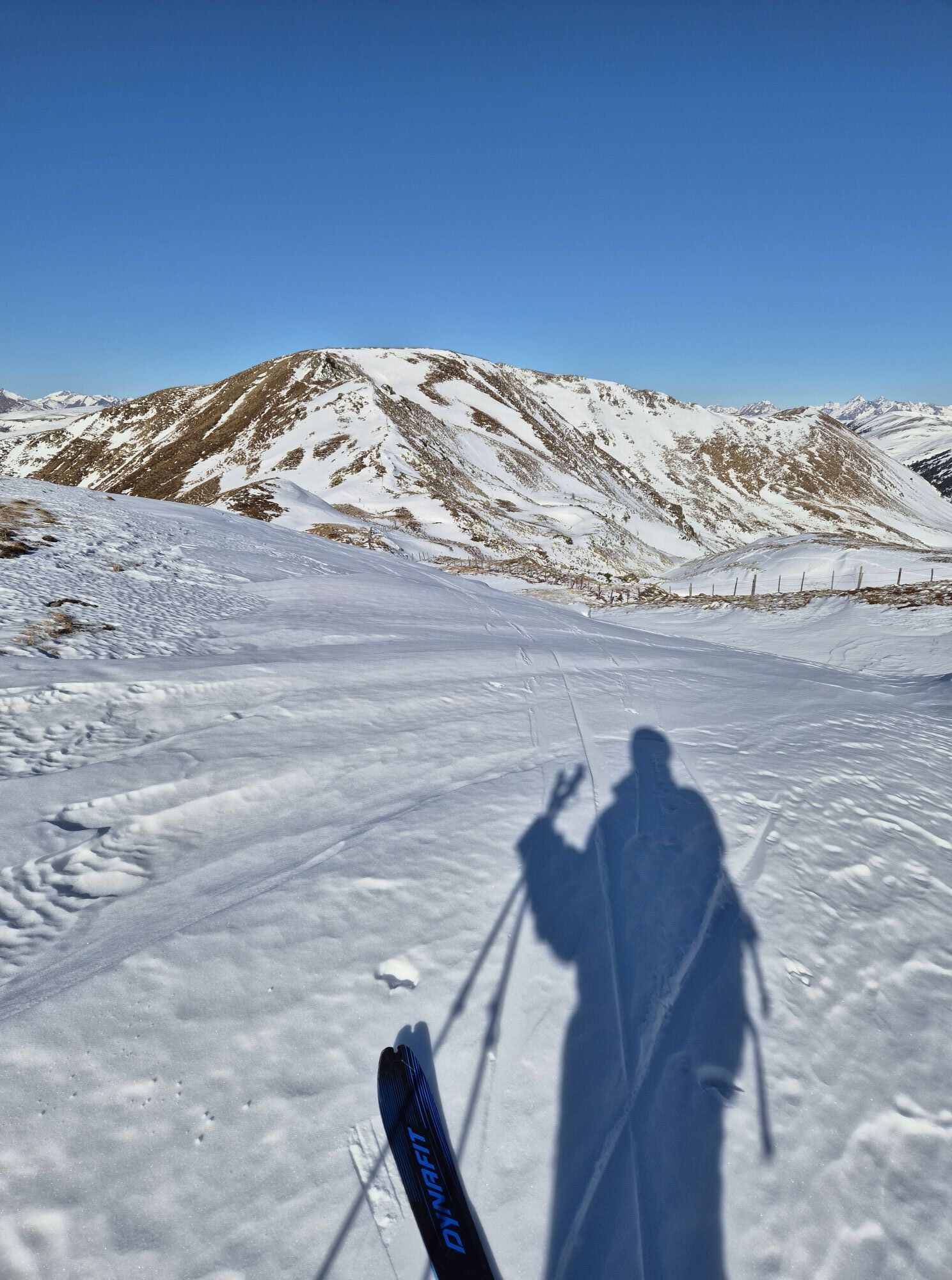
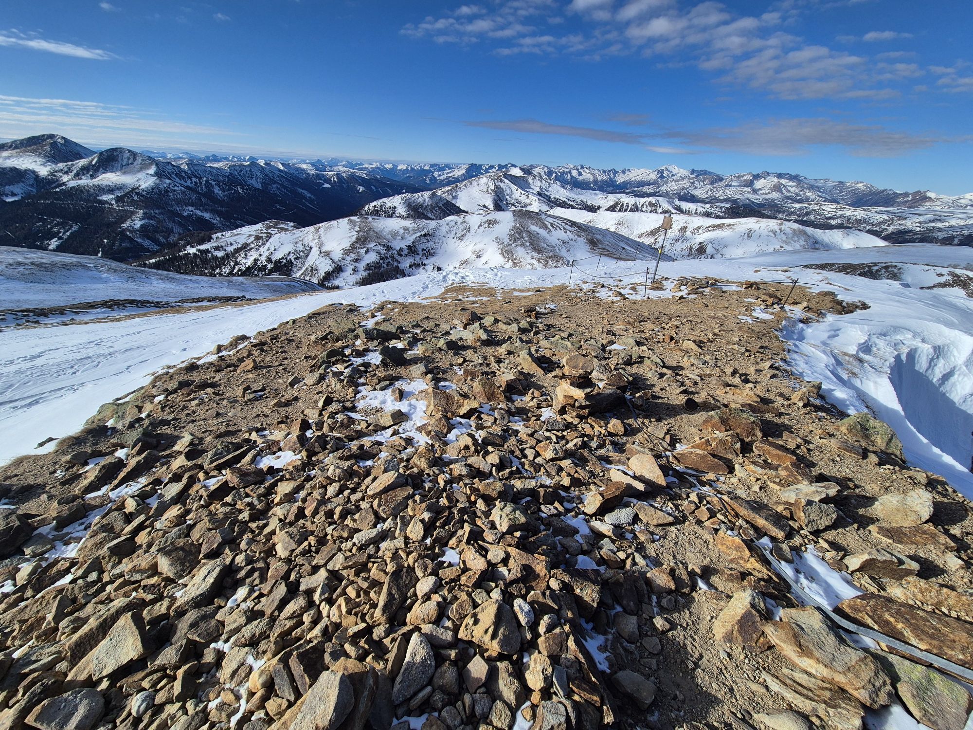
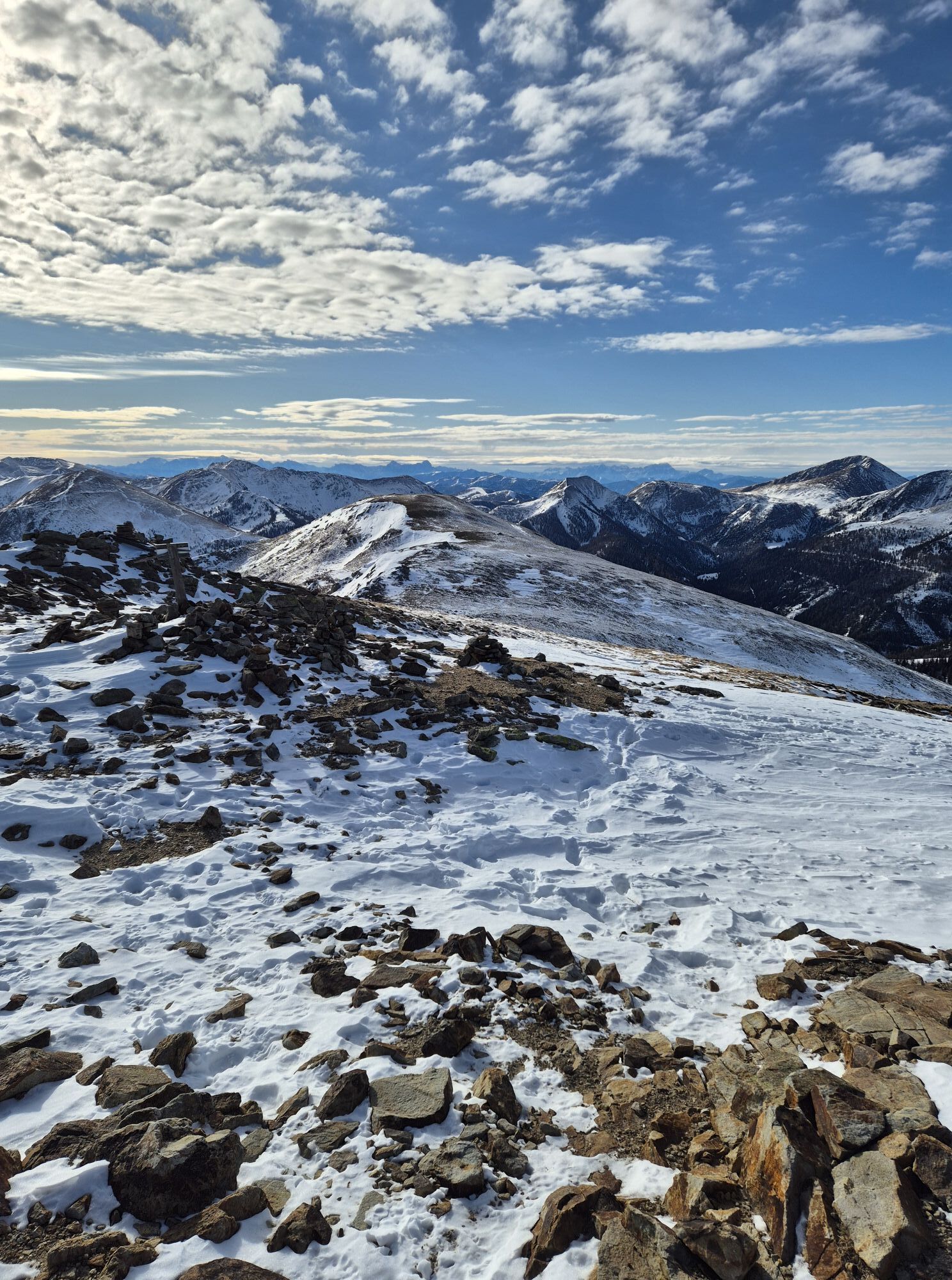
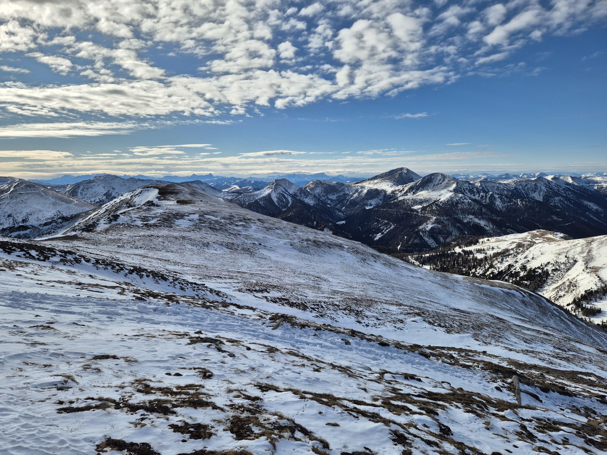
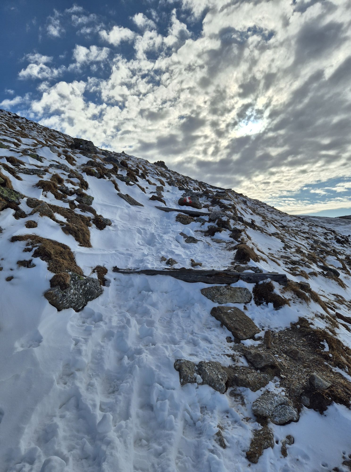
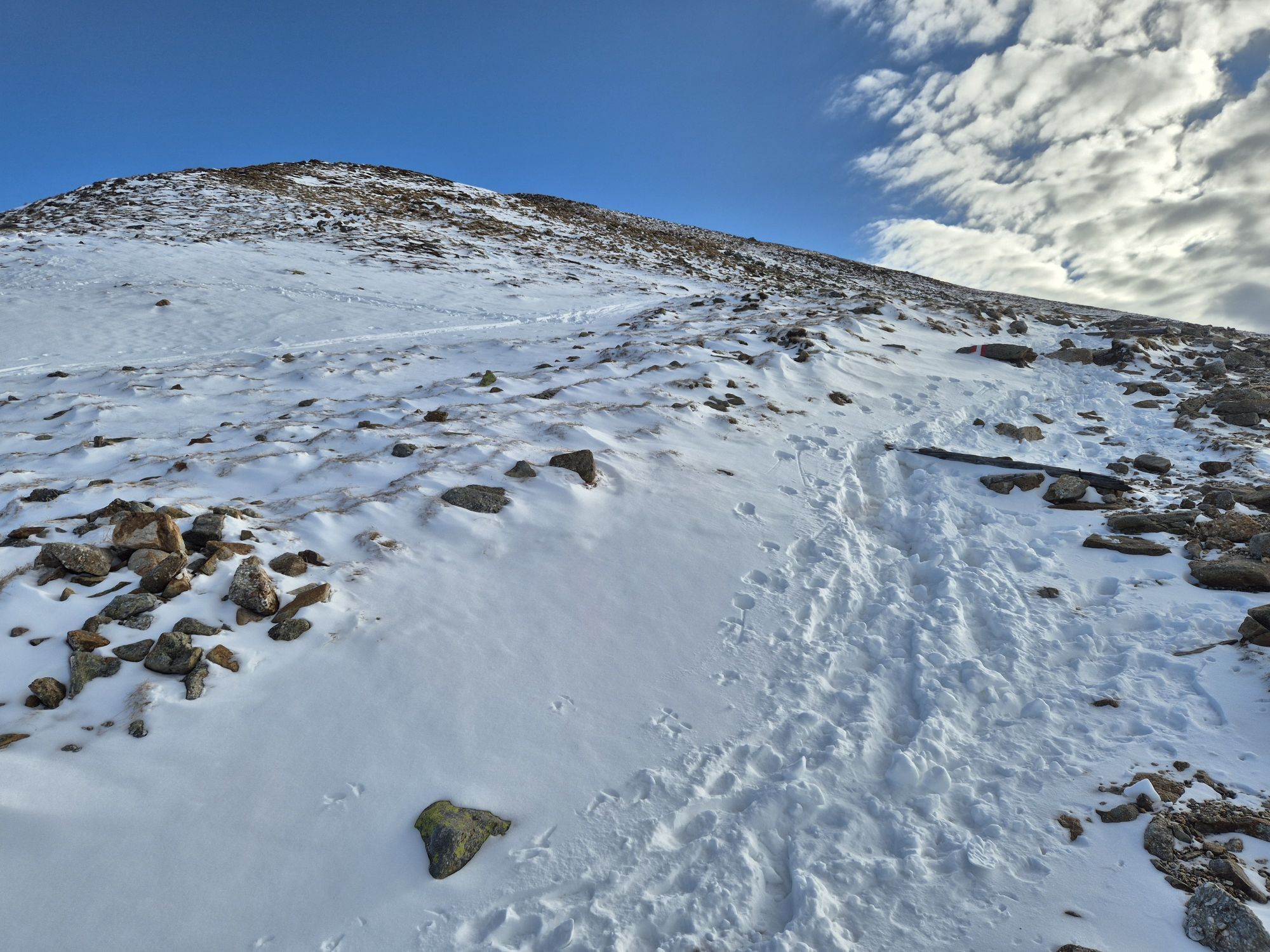
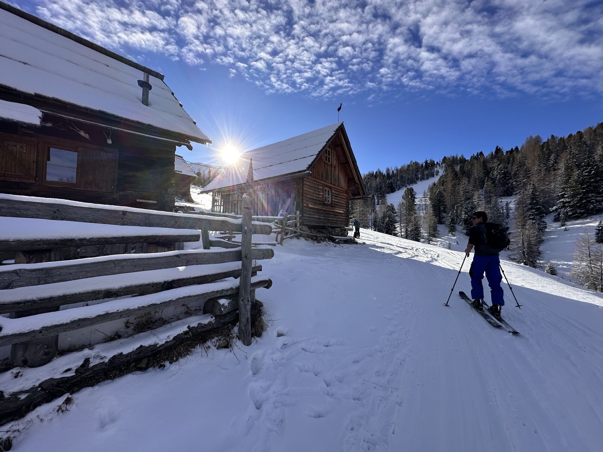
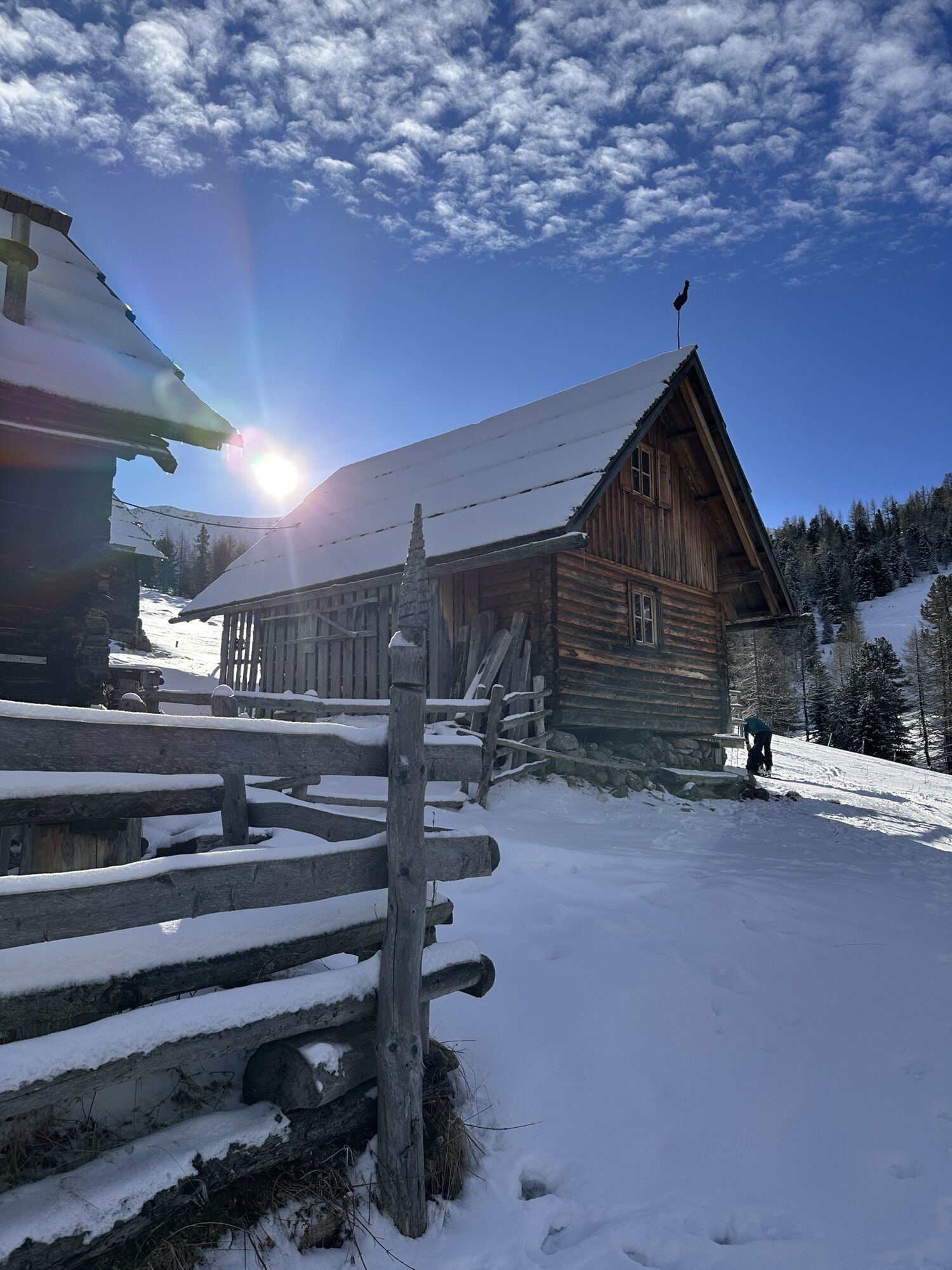
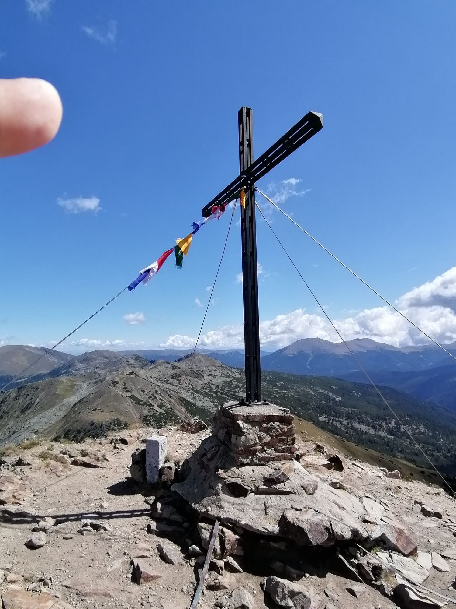
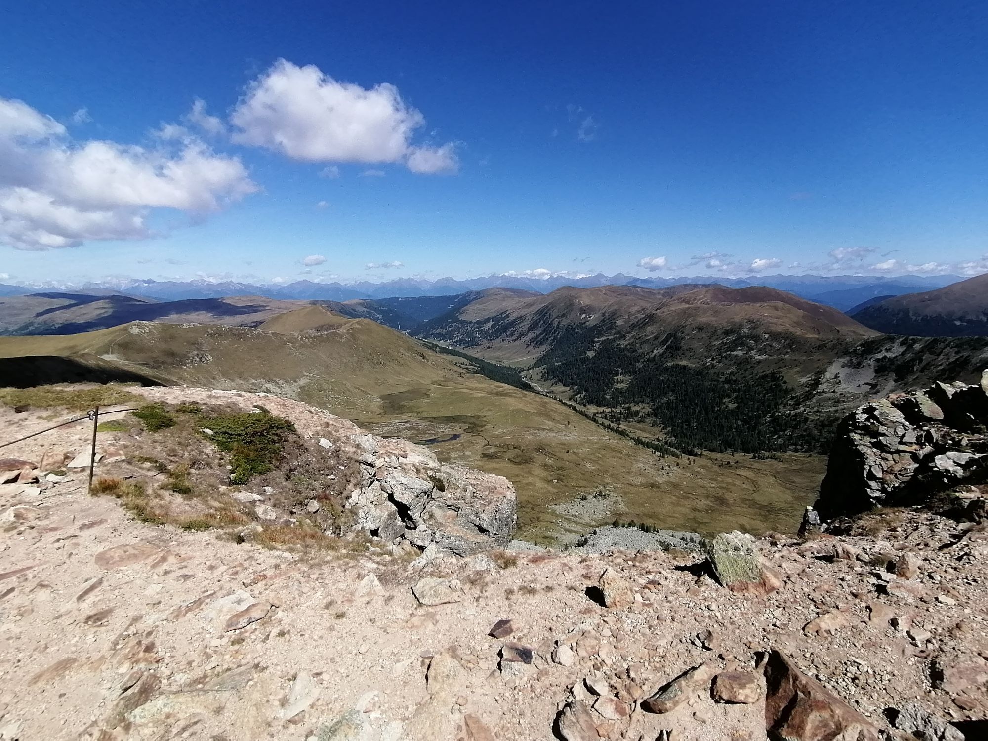
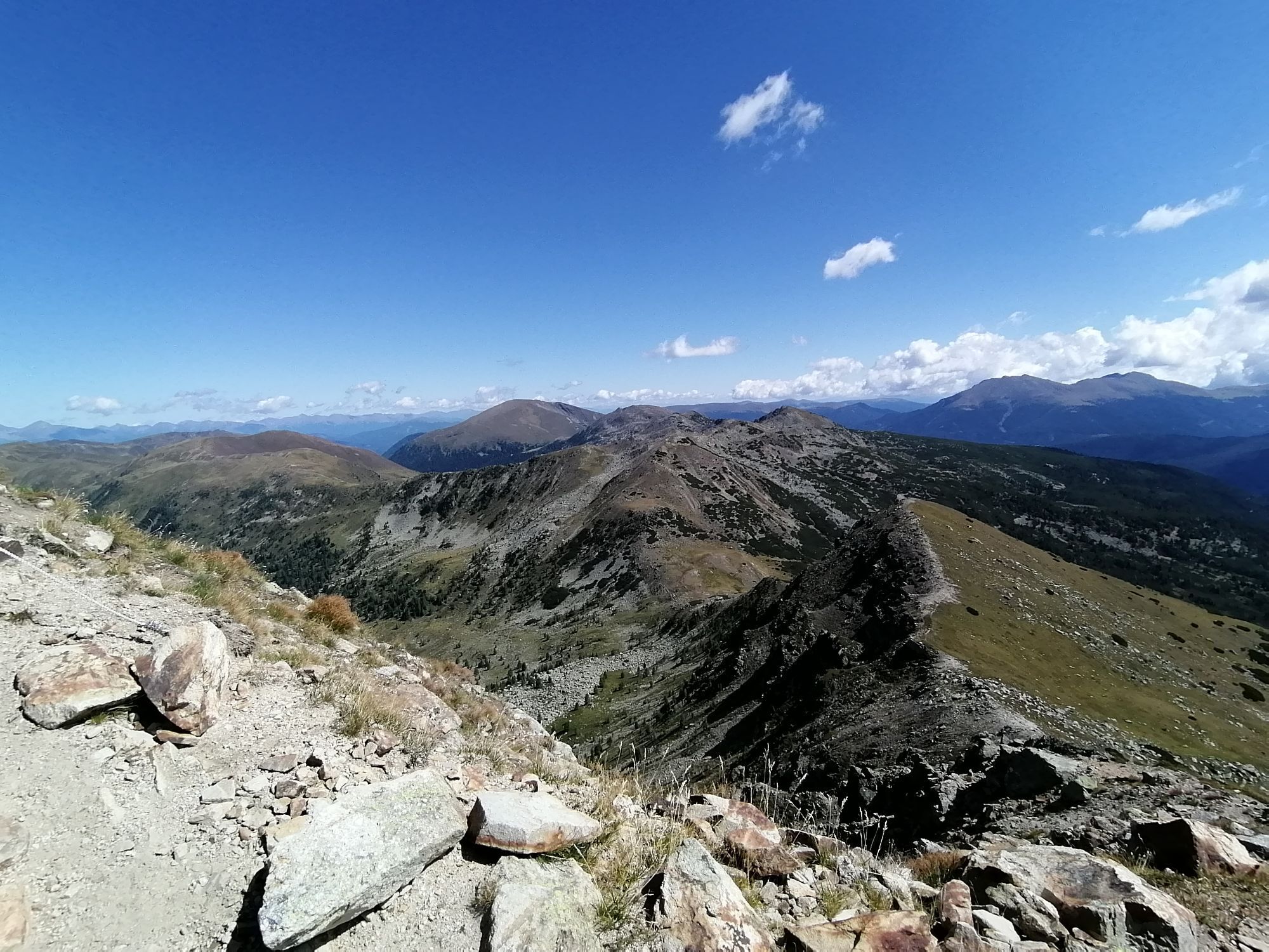
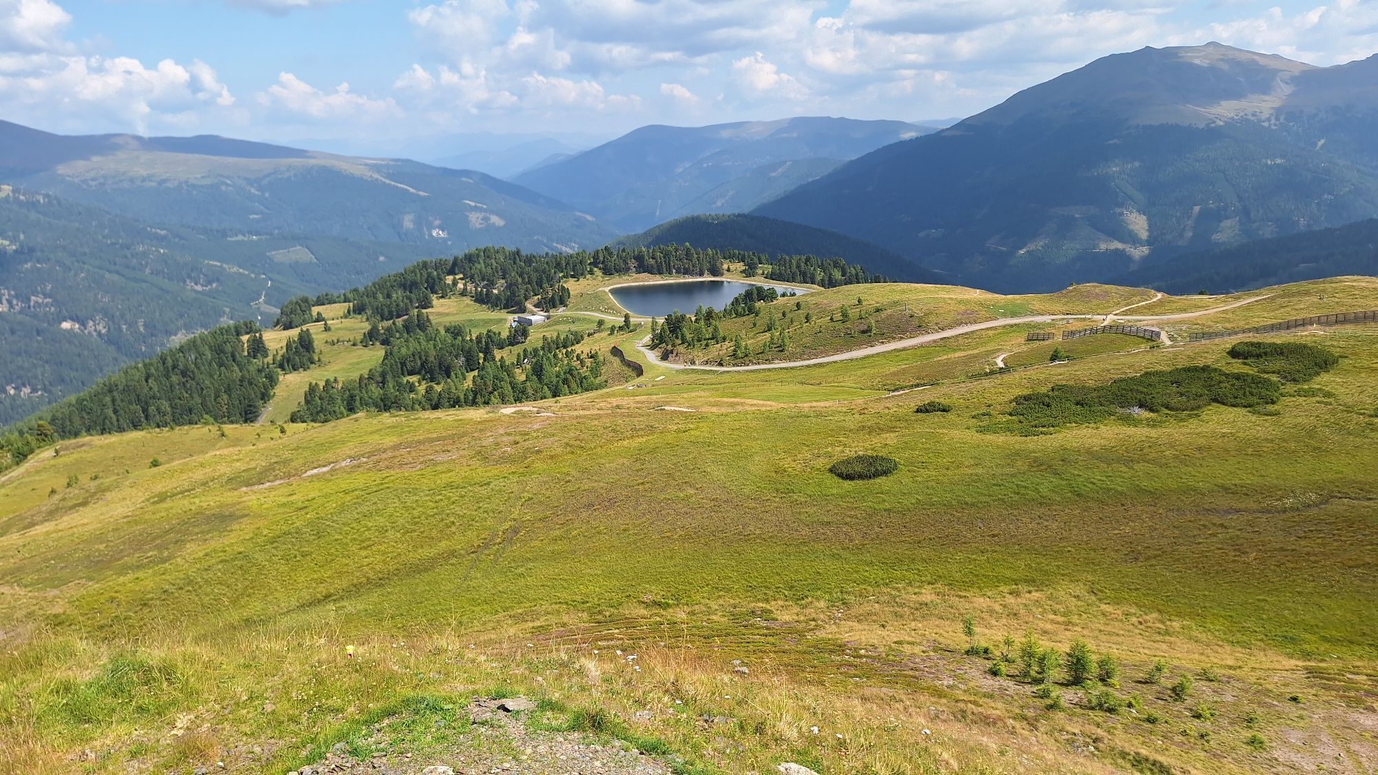
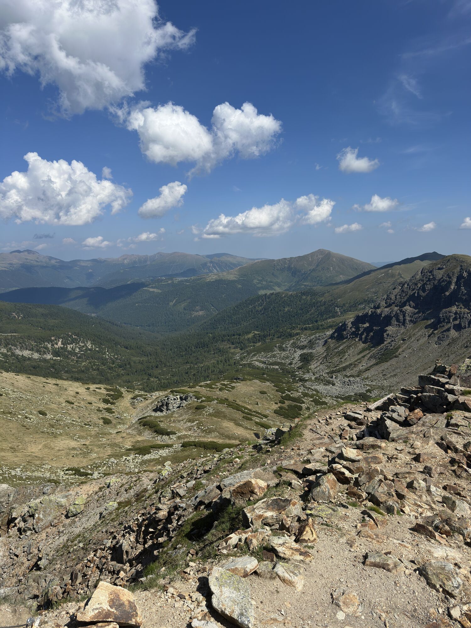
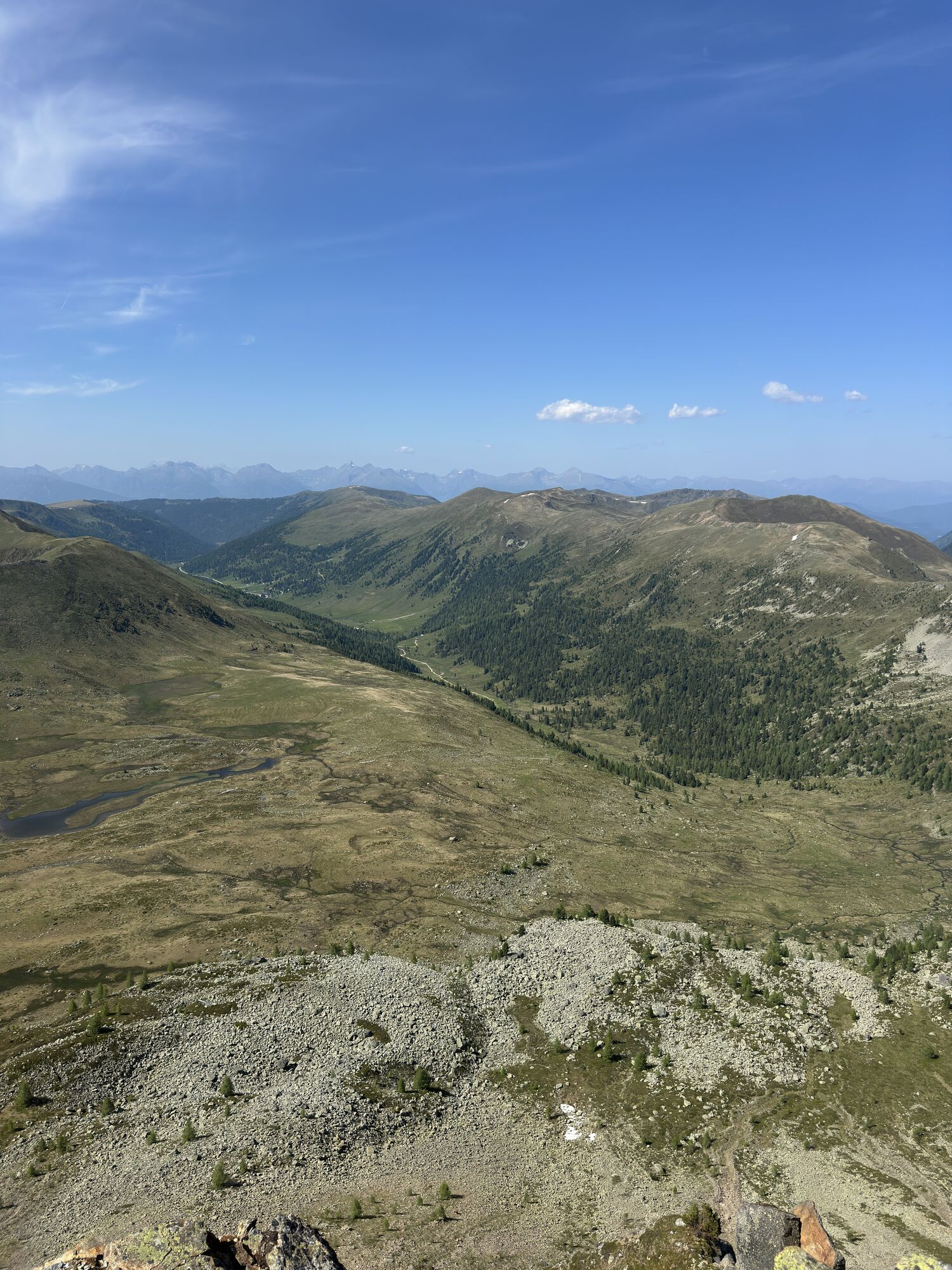
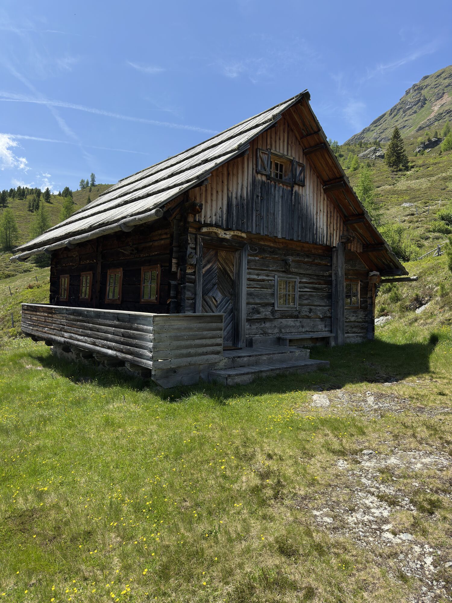
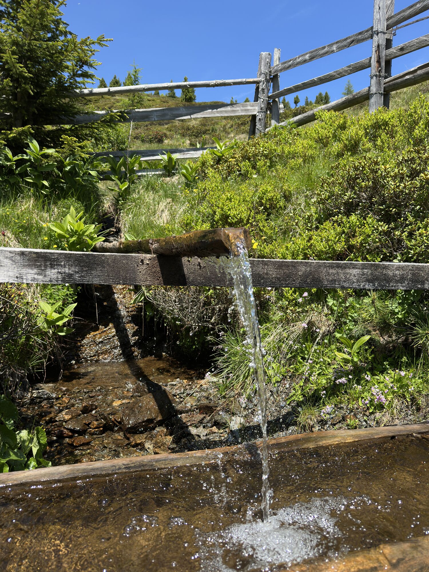
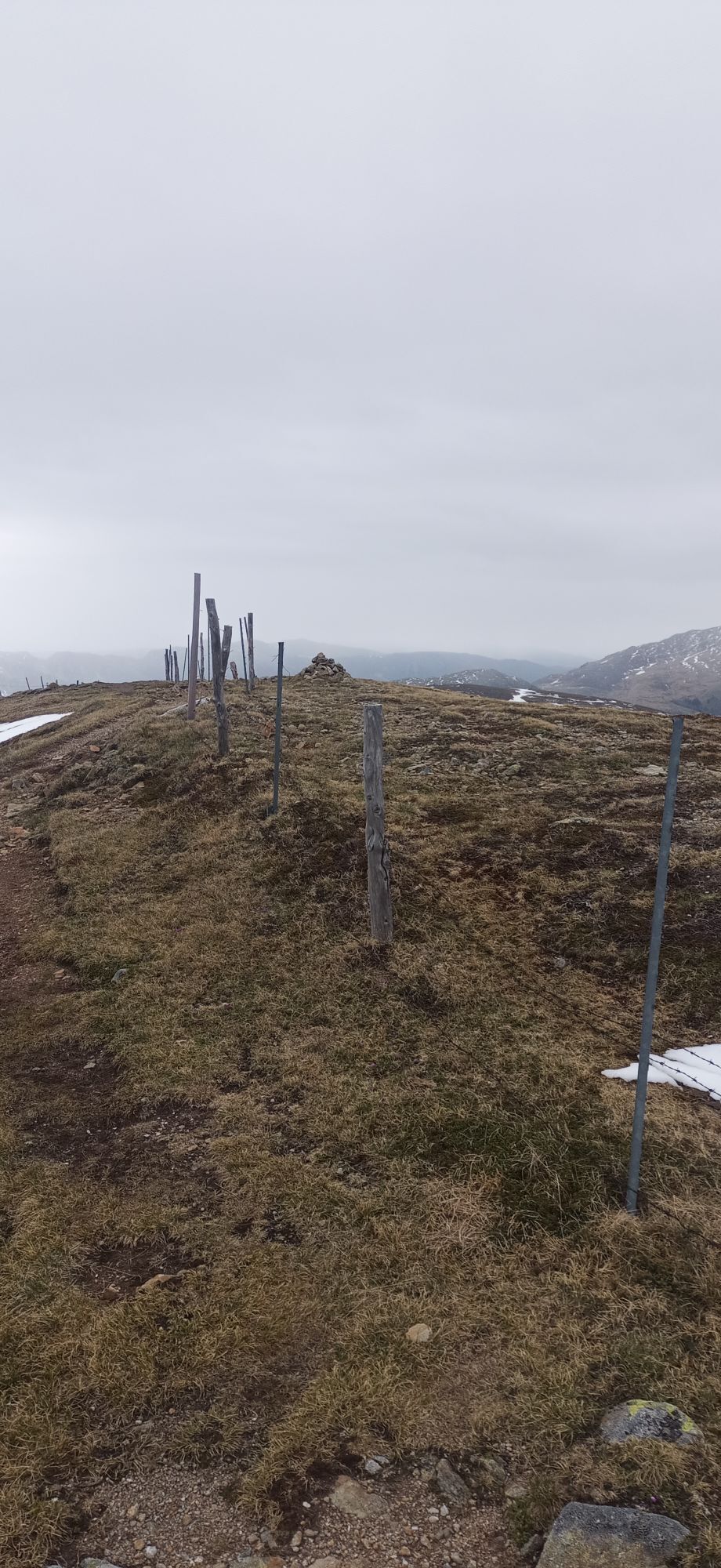
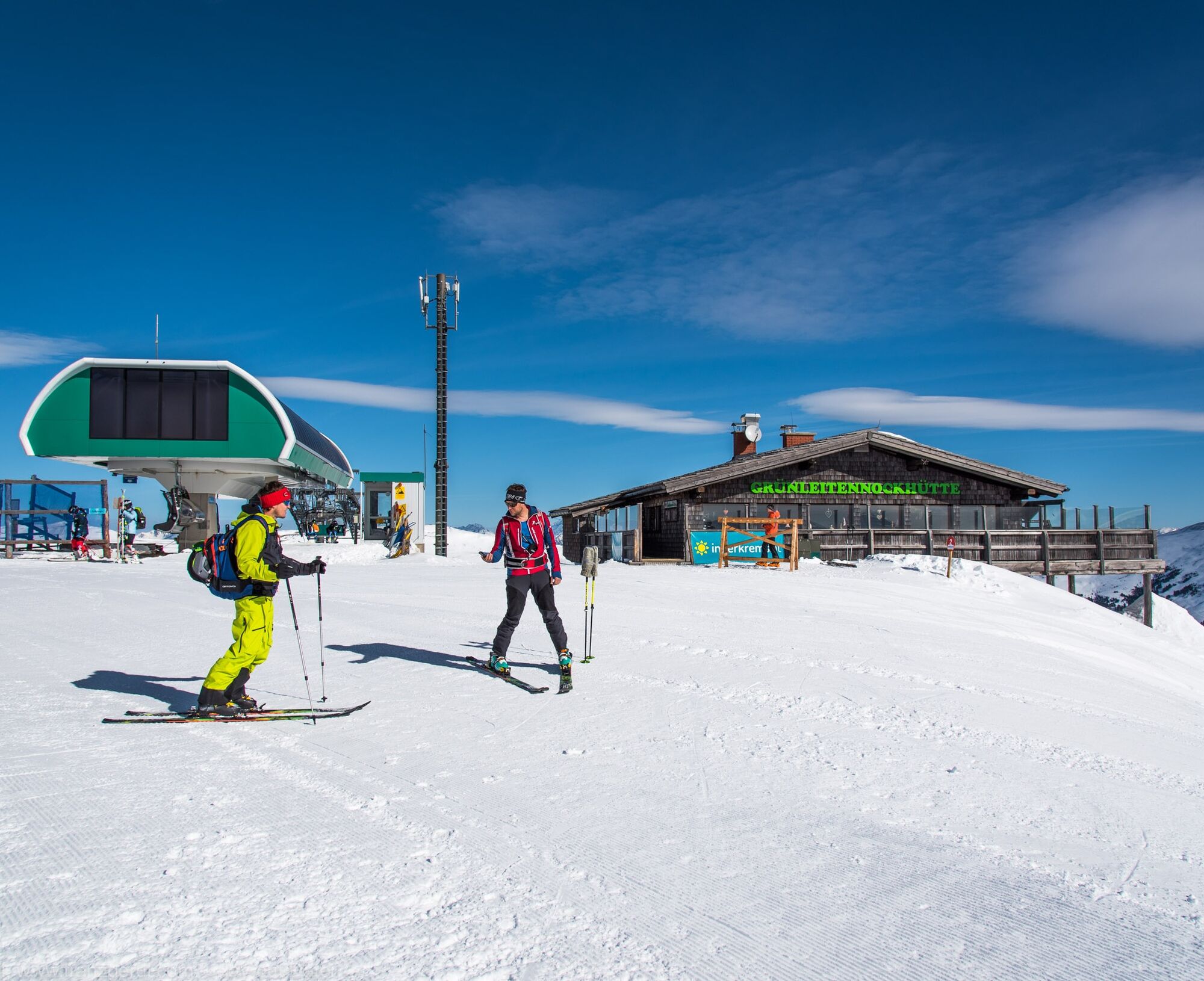
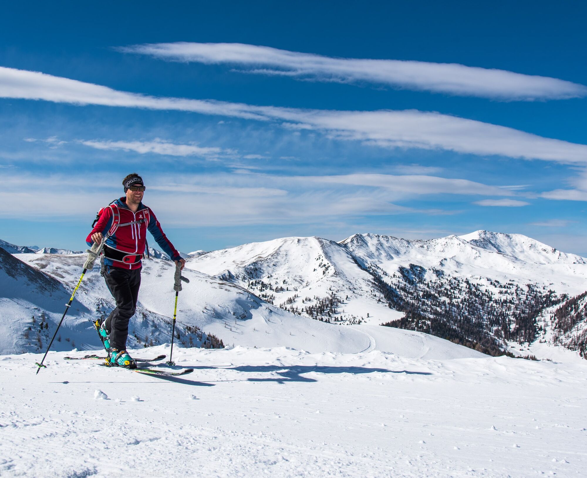
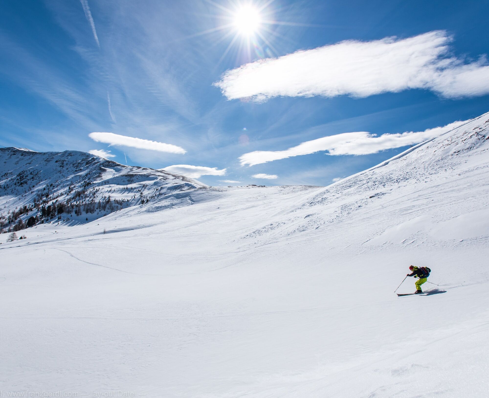
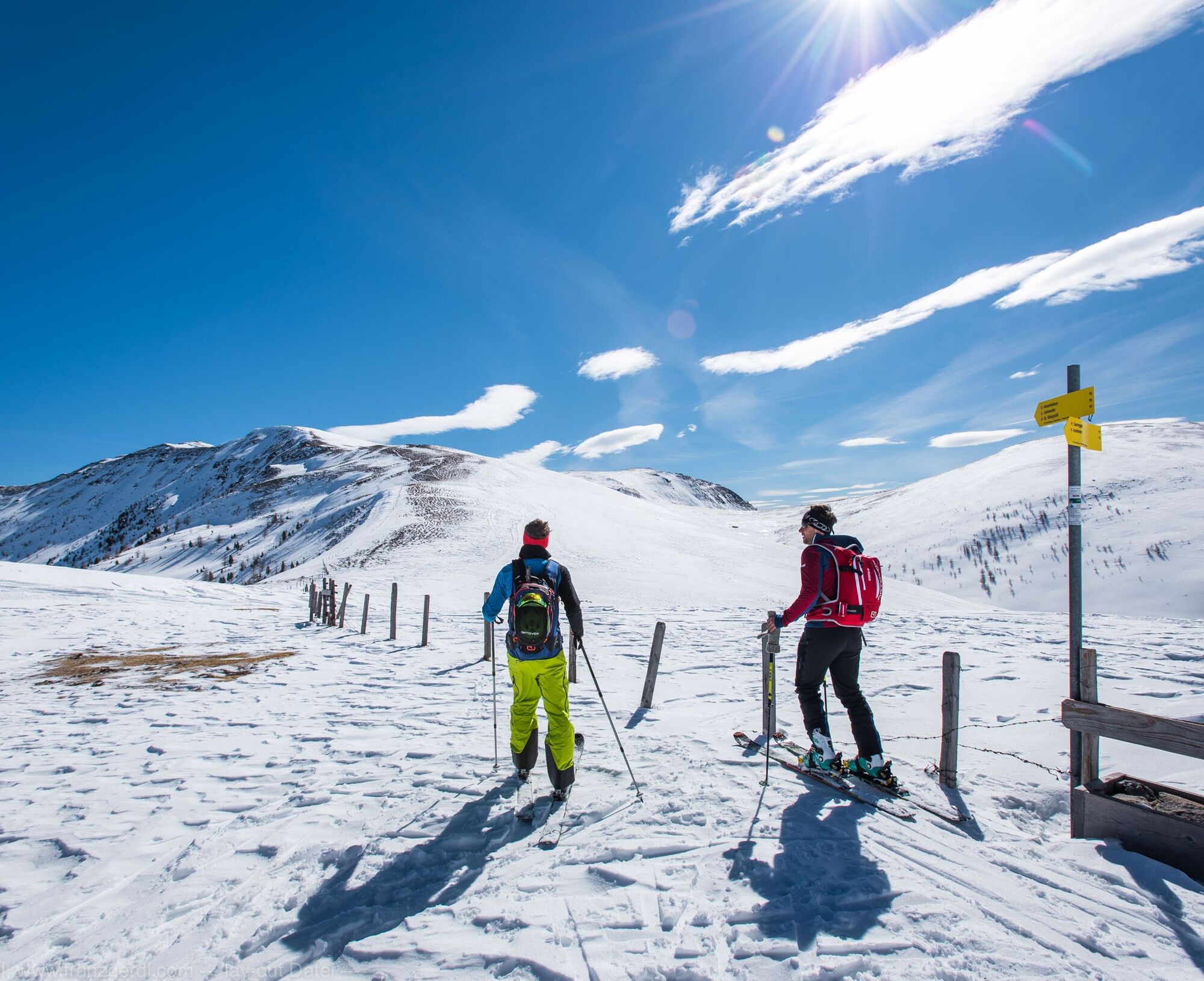
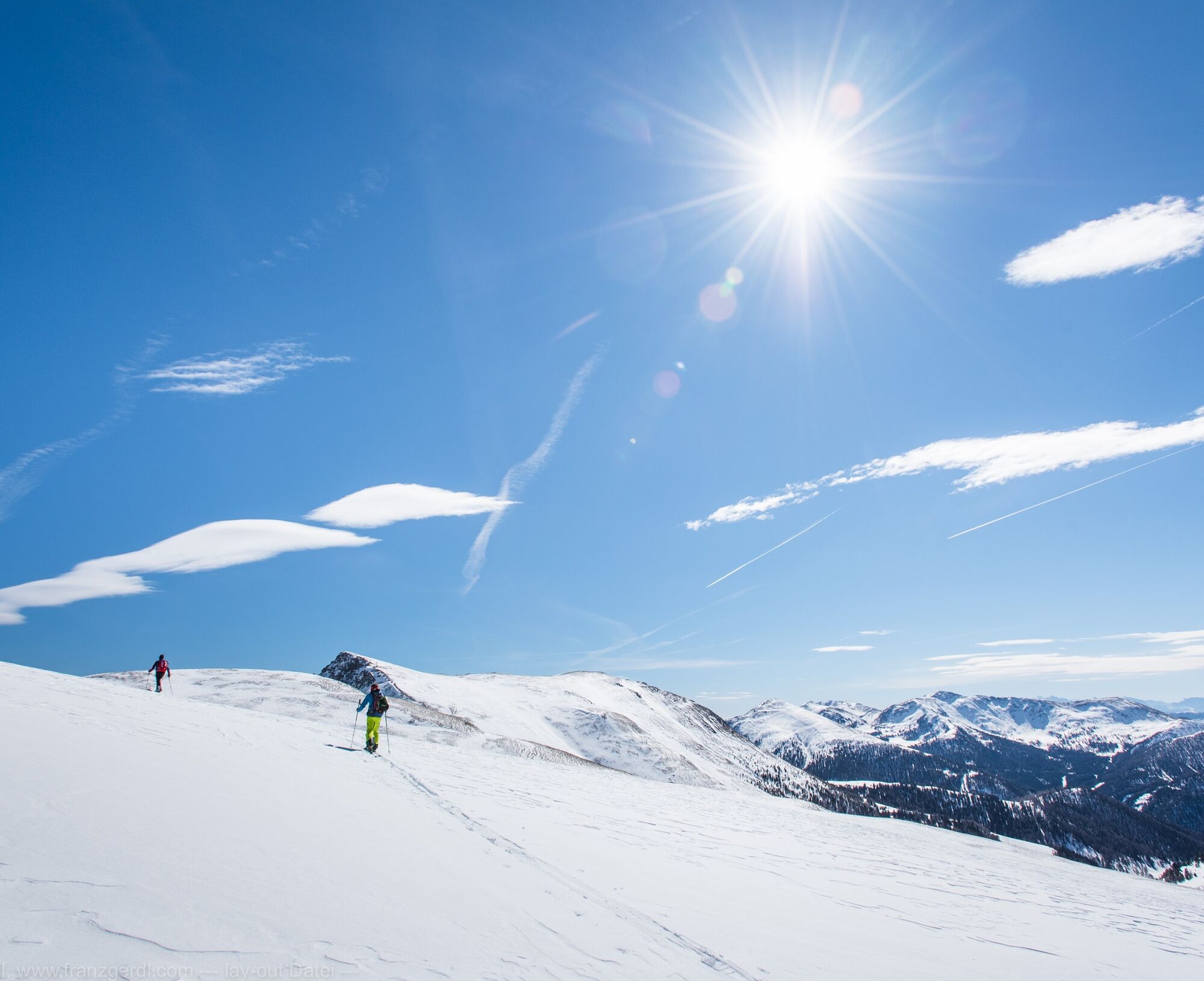
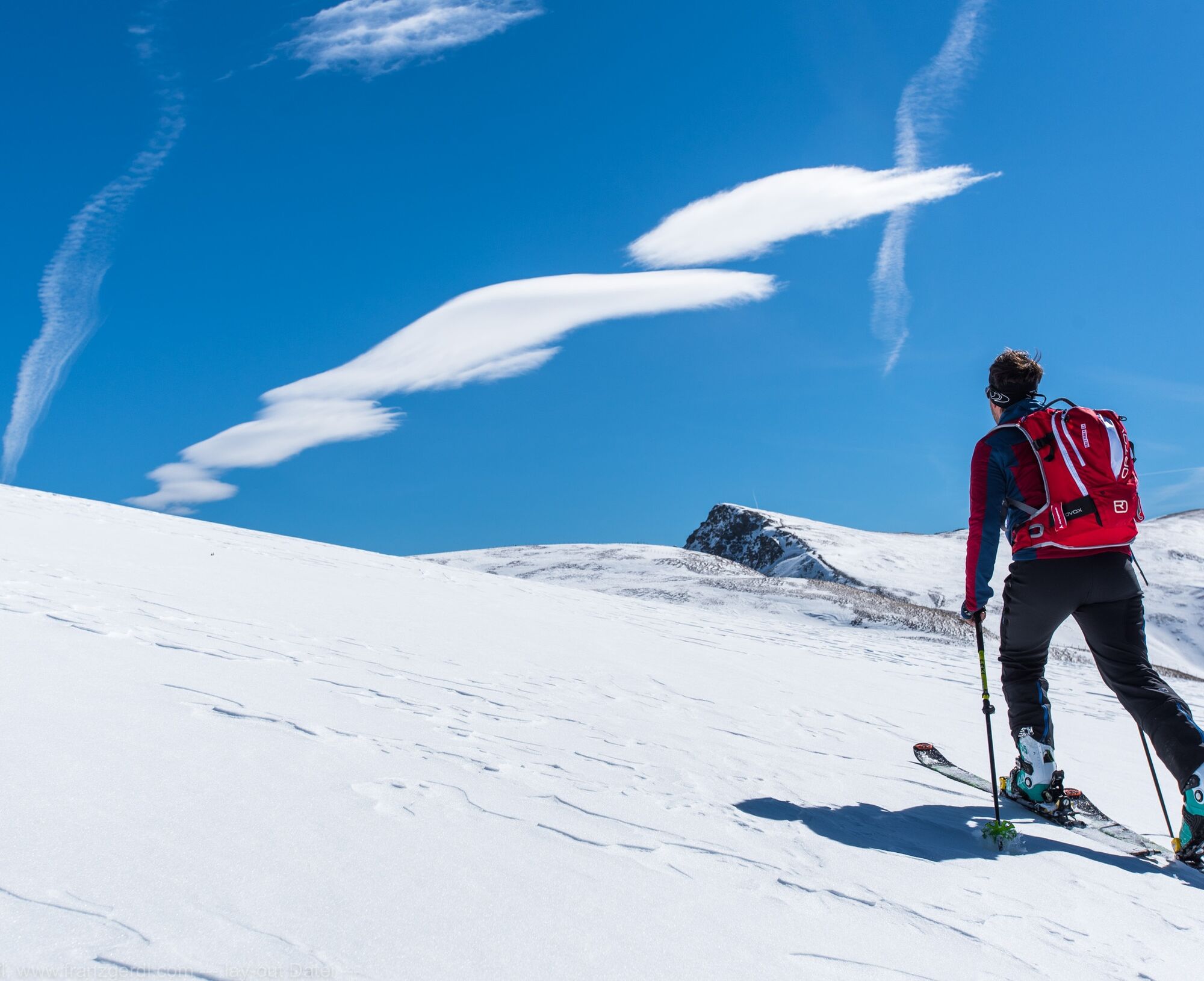
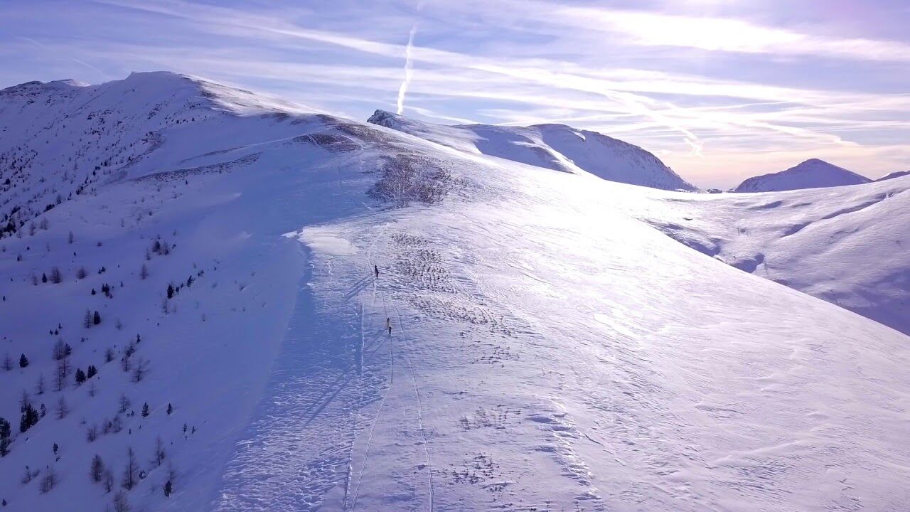
Therefore, the first ascent cannot be made with the Grünleitennock chairlift. The alternative route leads - without ascent assistance - from the Grünleitennock valley station on the ski trail in an easterly direction to the valley station of the Strasser I T-bar lift and from there up the Sauregg ski slope towards Grünleitennock. At the Grünleitenscharte (2,060 m) you reach the original route of the Nockberge-Trail. Continue in a forest-free and beautiful alpine landscape in a south-easterly direction to the Friesenhalssee lake and on to the Königstuhl (2,336 m), the roof of the entire Nockberge-Trail ski crossing. Incidentally, this summit forms the border triangle between Salzburg, Styria and Carinthia and offers a breathtaking all-round panorama. After a short rest at the Königstuhl (watch out for cornices!), you cross the ridge to the south to the Karlnock (2,305 m), where you are rewarded for your efforts so far with a short but beautiful descent down the south-east flank to the Stangscharte (2,070 m). Now another short ascent awaits, leading over a striking north-west ridge to the summit of the Gregerlenock (2,296 m). The 400-metre descent to the Pregathütte requires a well-considered choice of route, which is why it is safest to descend via the prominent ridge in a north-easterly direction. The long day of ski touring now comes to a leisurely end: from the Pregathütte (1,880 m), follow a forest path in a north-easterly direction to reach the valley floor, where you cross the Winkleralm stream. Continue along the forest path out of the valley and after a short time you will reach the path leading east and uphill to the Winkleralm (1,823 m). Now there are 200 meters of ascent through a sparse pine forest until you reach the Turracher Höhe ski area. Climb a few more meters to the mountain station of the Schafalmbahn lift and then, with a few final carving turns and possibly after a stop at one of the numerous huts in the ski area, head down the blue piste no. 1 to the frozen Turracher See, today's destination.
Possibility to stop in case of bad weather conditions:
Abort option Königstuhl: On the saddle in front of the Königstuhl, you can break off the tour with a descent through the Rosanintal valley to the Dr. Josef Mehrl hut in Schönfeld above Innerkrems. You are then back in Innerkrems and have to take a shuttle to Turracher Höhe. However, this abort option is the only good option on this stage.
There is another possibility to break off at the Pregatscharte via Nockalmstraße. This option only makes sense if you are too late or have run out of energy and can no longer manage the final ascent of around 400 meters to the Turracher Höhe ski area. From the Pregatscharte, descend via a forest road to the snow-covered and uncleared Nockalmstraße as described in stage 3. When you reach it, head east to the toll station. From there, take the regional cab service to Turracher Höhe.
Basic equipment
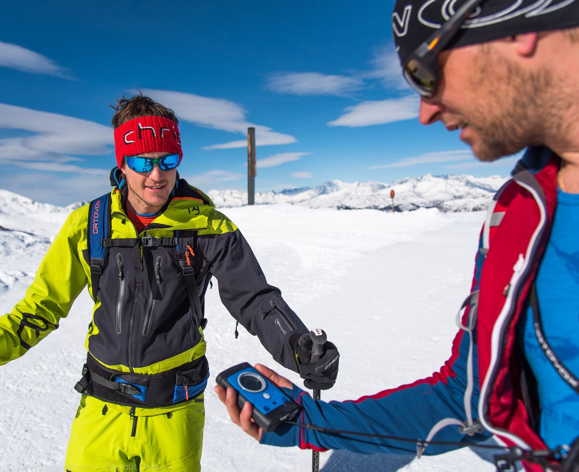
Touring skis (incl. touring bindings, ski stoppers, crampons, skins) Ski touring boots Digital avalanche transceiver (LVS) - check batteries! Avalanche shovel avalanche probe possibly. Ski touring helmet (telescopic) poles with winter plate Functional anorak/jacket Touring pants/ possibly. overtrousers Underwear Shirt + change shirt Jacket/sweater Hood (possibly spare)/ possibly face mask face mask 1 pair of thin +1 pair of thick gloves socks cell phone Personal medication ID cards as required (ÖAV, passport, etc.) Money/ credit card/ eCard Camera (spare battery/batteries/memory card) sunglasses Sunscreen and lip protection with sufficient protection factor handkerchiefs possibly. Spare goggles ski goggles possibly. LED headlamp (fresh batteries!) Thermos flask (1 liter) provisions/drink Backpack (possibly with ski attachment) possibly. Backpack rain cover Change of underwear Toiletries Compass/ altimeter/ GPS device Map/ tour descriptionsBackpack packing and weight recommendation: 7-8 kg, volume 30 l
The traverse of the up to 40 degree steep southern slope after the Friesenhalsse at approx. 2,150 m should only be tackled in optimal conditions. To be on the safe side, please always avoid the broad ridge on the Seenock (2,260 m).
General requirements for ski tourers in steep terrain above the tree line who are traveling without a guide/ski mountain guide. You must...
be able to read the avalanche report and interpret it correctly be able to solve a multiple burial of two to three people with an avalanche transceiver, probe and shovel know a recognized avalanche risk management procedure and be able to apply it (Stop and Go, Snowcard etc.) master ascent and descent techniques with skis have good basic stamina be able to determine their location in the terrain with a map and compass and use a GPS have a sound knowledge of orientation, alpine dangers, first aid and weather be able to ski safely in the terrain, both with changing steepness and snow conditions as well as tight turns.From the north:
Munich-Salzburg highway, A10/Tauern highway (Tauern tunnel) to the Rennweg exit. Take the B99 to Kremsbrücke, then turn left to Innerkrems
From the east:
Vienna, A2/Südautobahn - Graz - Klagenfurt - Villach - Spittal/Drau - exit Gmünd - Kremsbrücke - Innerkrems or Vienna, A1/Westautobahn to Salzburg and then as approach from the north
From the south:
Udine - Autostrada - Tarvisio - Villach - Spittal/Drau - exit Gmünd - Kremsbrücke - Innerkrems
Depending on the time of year and day of the week, different public transportation options are available. For up-to-date information, please visit the following websites:
http://f lug.kaernten.at
https://www.bahn.de/
Convenient and direct from the train station to your accommodation with the Carinthia train station shuttle:
https://www.bahnhofshuttlekaernten.at/
or the Nockmobil:
The stages of the Nockberge-Trail can also be found in the Carinthia Tour Guide App, the ideal companion on site! Here is the download link for the iPhone App Store or for Android on Google Play.
Attention: As there is no network reception in the Nockberge mountains for the most part, it is recommended to save the respective stage offline in advance so that you can navigate without any problems!
Avalanche warning service Carinthia: https://lawine-kaernten.at
Mountain weather Carinthia: www.zamg.ac.at/cms/de/wetter/produkte-und-services/bergwetter/kaernten
Webcam Innerkrems: http://innerkrems.at/webcam.html
Webcam Turracher Höhe: www.turracherhoehe.at/de/wetter-webcams
Another option in winter 2022/23 is the ascent to the Königsstuhl via the Rosanintal valley. However, this would require a shuttle from Innerkrems to Schönfeld to the Mehrl Hütte (approx. 3 km).
Kamery internetowe z trasy
Kornockbahn Bergstation
Turracherhöhe/Hirschkogel
Turracherhöhe Weitentallift
Turracherhöhe - Panoramabahn
Bergbahnen Turracher Höhe
Bergbahnen Turracher Höhe
Bergbahnen Turracher Höhe
Bergbahnen Turracher Höhe
Bergbahnen Turracher Höhe
Zechneralm
Almzeithütte
Almzeithütte
Almzeithütte
Almzeithütte
Schönfeld
Innerkrems
B95 Turracher Höhe
Popularne wycieczki w okolicy
- 4,6
Turracher 3 Seen Weg - Weg der Sinne zwischen Berg & See
światłoTrasa tematyczna 7,15 km - 4,7
Schoberriegel - Schönebennock -
światłoWędrówka 9,88 km - 4,9
Nockbergrundwanderweg
średniWędrówka 6,62 km - 4,8
Große Rosennock Runde
Wędrówka 9,80 km - 4,6
Falkertsee - Sonntagstal - Falkert
średniWędrówka 4,84 km - 4,8
St. Oswald - Circular hike - Mallnock - Klomnock
średniWędrówka 10,9 km - 4,7
Falkert, Murmelsteig B/C mit Direktem Abstieg
średniVia ferrata 3,61 km - 4,8
Schönfeld: Großer Königstuhl
średniWędrówka 11,2 km - 4,6
Hochrindl - Lattersteighöhe
średniWędrówka 9,17 km - 4,5
Rundweg über den Falkert
średniWędrówka 6,26 km

Wędrówki i tropienie


Nie przegap ofert i inspiracji na następne wakacje
Twój adres e-mail została dodana do listy mailingowej.