


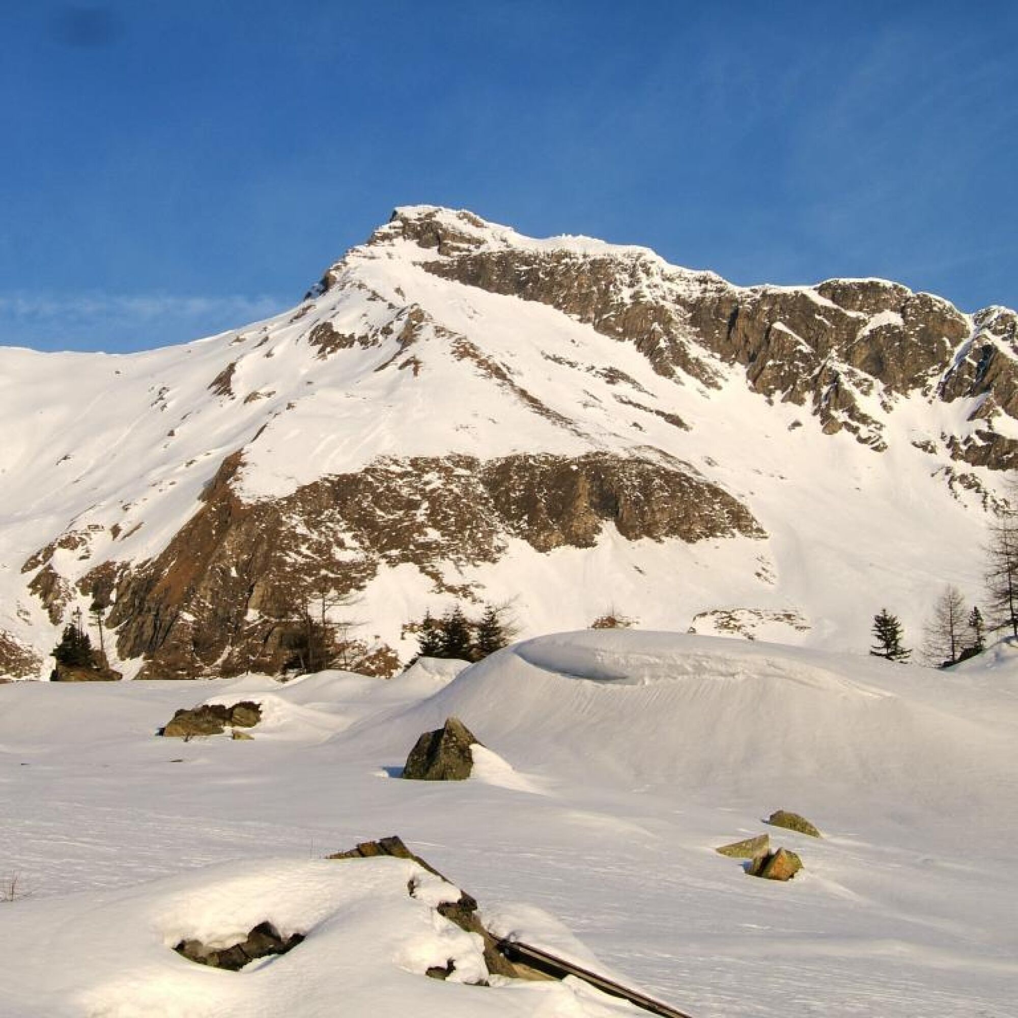
Geiselspitze
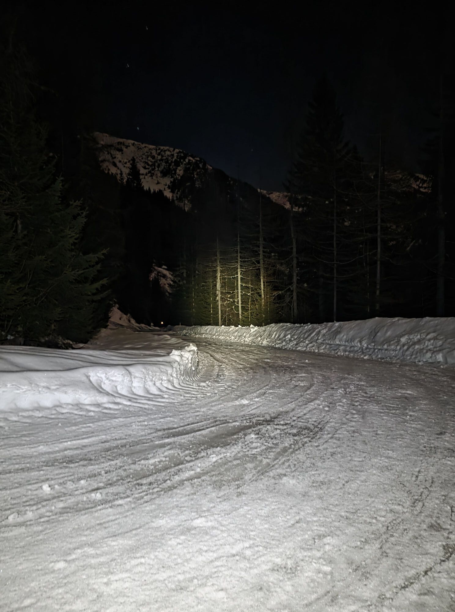
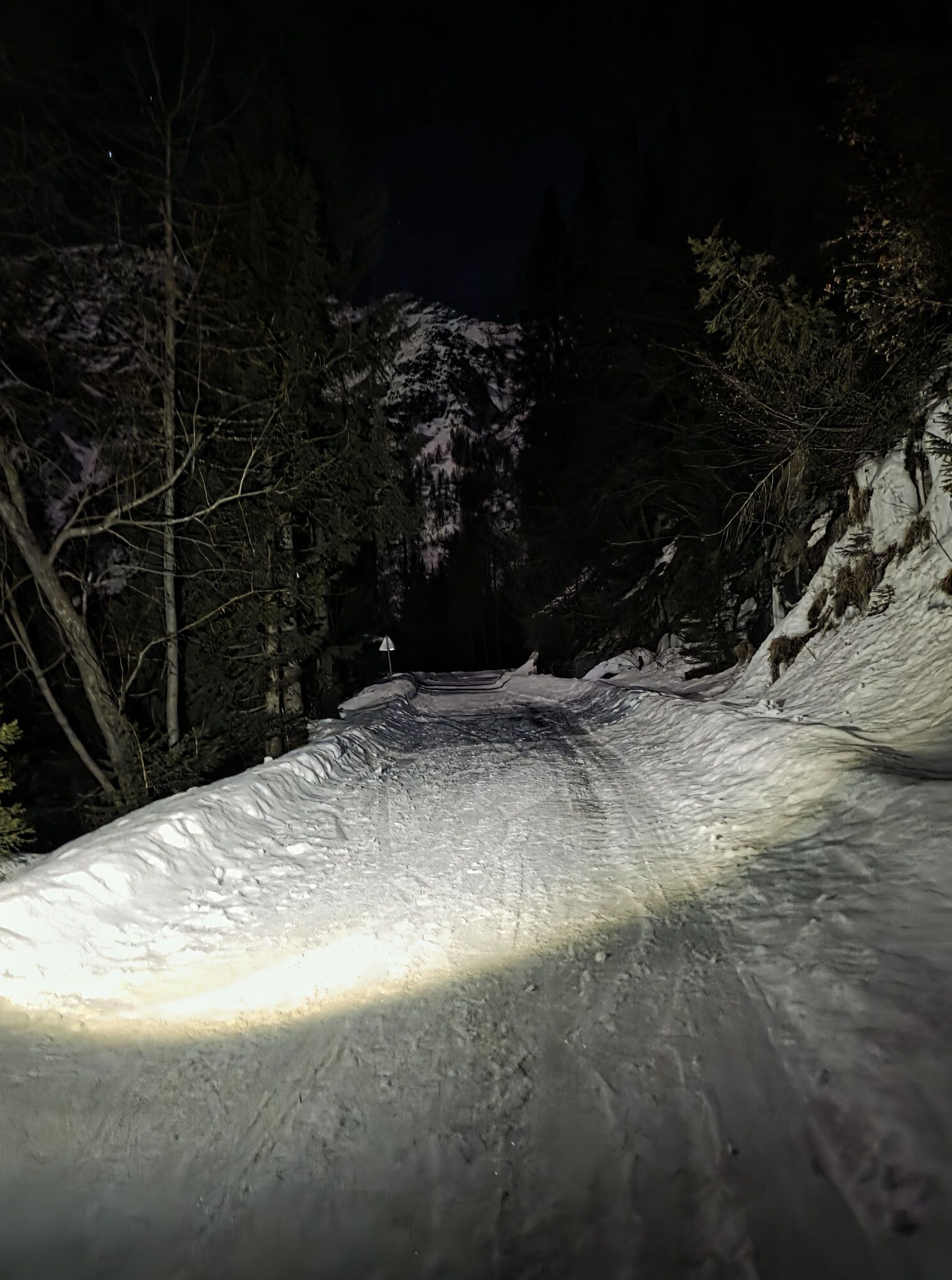

From the Jamnigalm parking lot (toll) in several switchbacks to the Jamnighütte (not operated). Further ascent either to the right of the distinctive gully to the Hagener Hütte and roughly along the summer path to the saddle at Westerfrölkekogel, where the path changes from the east to the west side and thus from Carinthia to Salzburg.
Or - more direct - upwards to the left of the gully and over somewhat steeper slopes in switchbacks directly up to the mentioned saddle.
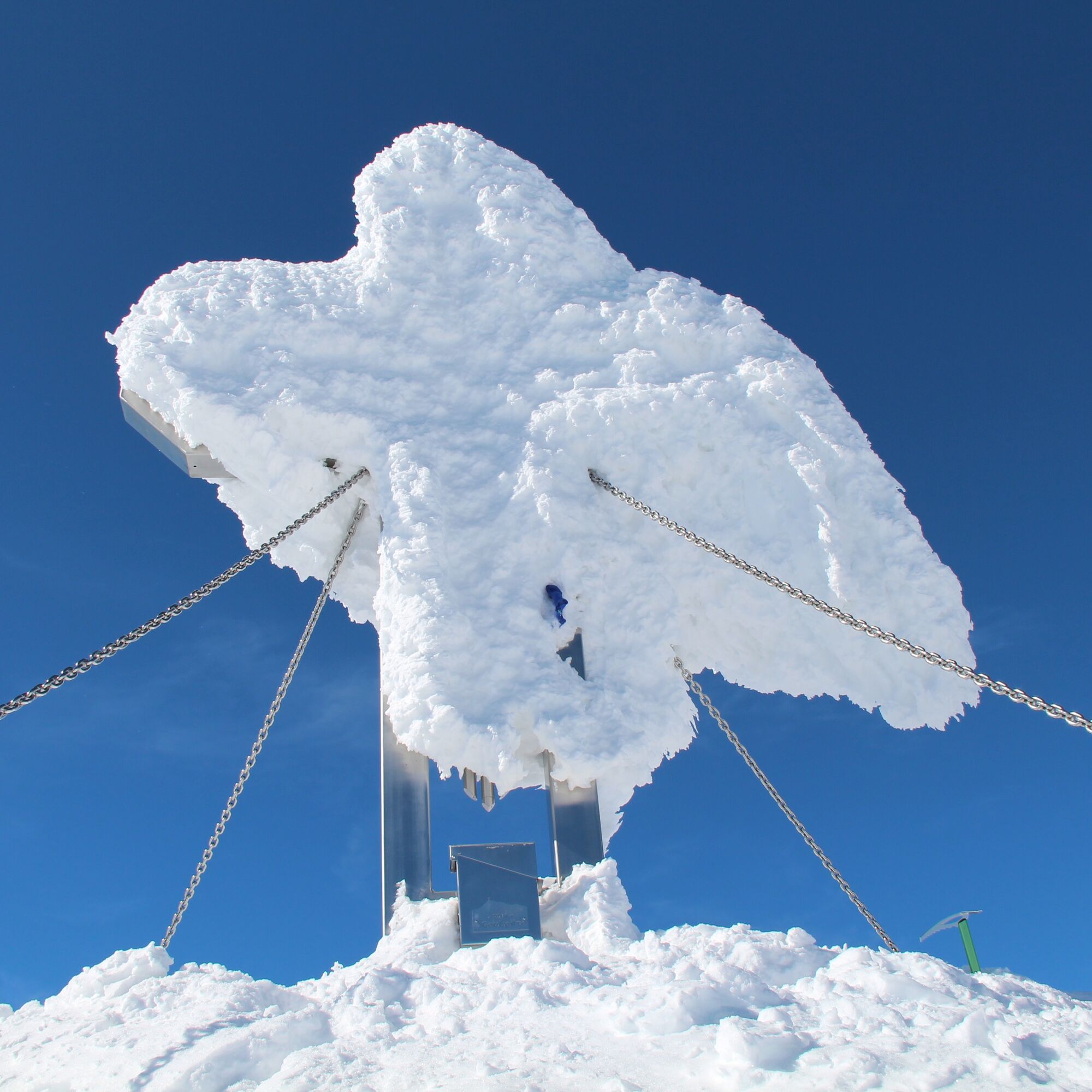
Now always slightly to the right (west) of the north ridge to the saddle between the Vorderer and Mittlerer Geiselspitze. Ski deposit here. A few minutes to the summit cross.
In midwinter, the descent must absolutely follow roughly the ascent track.
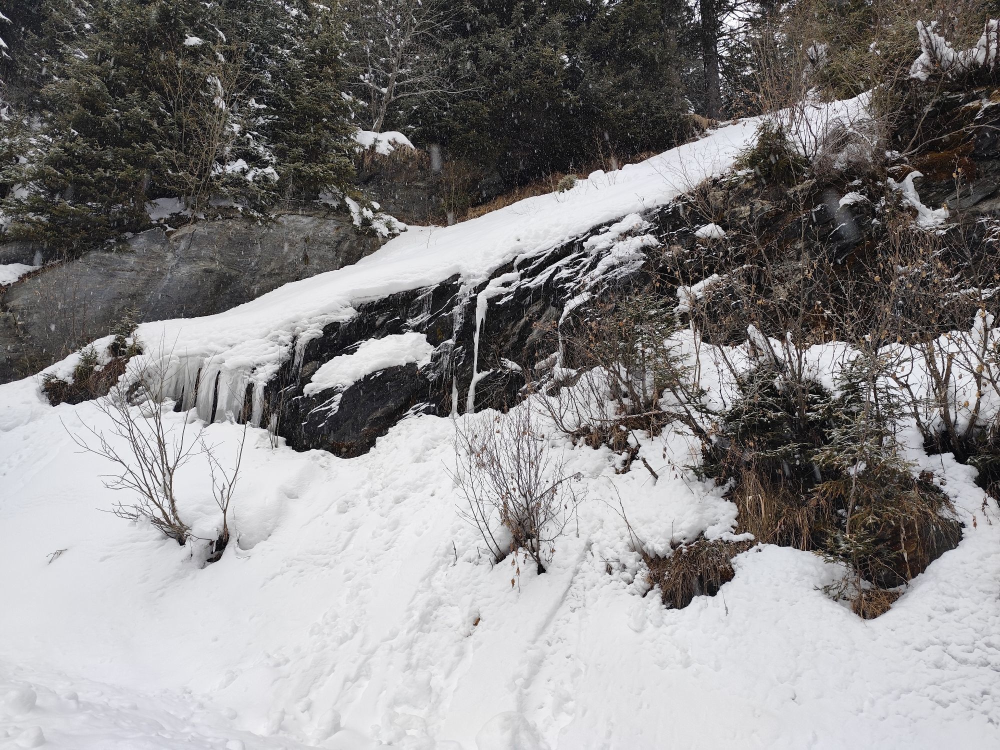
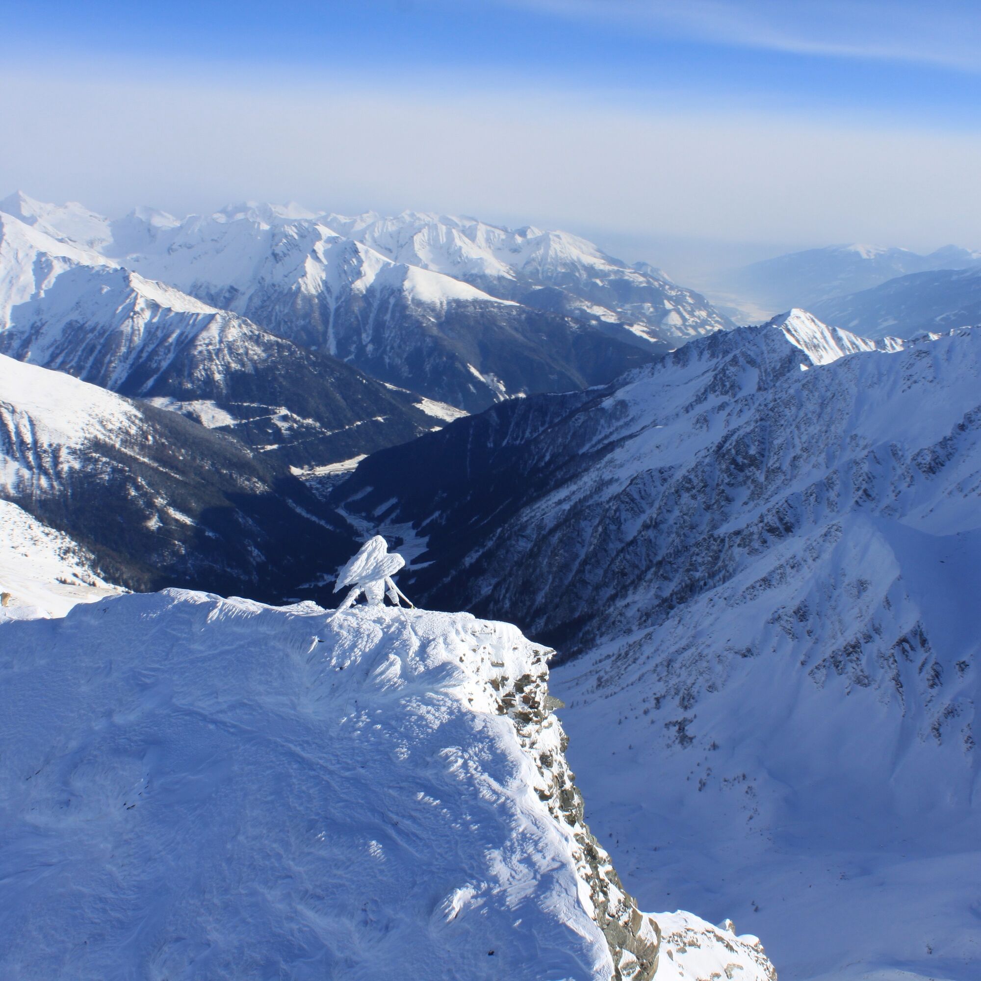
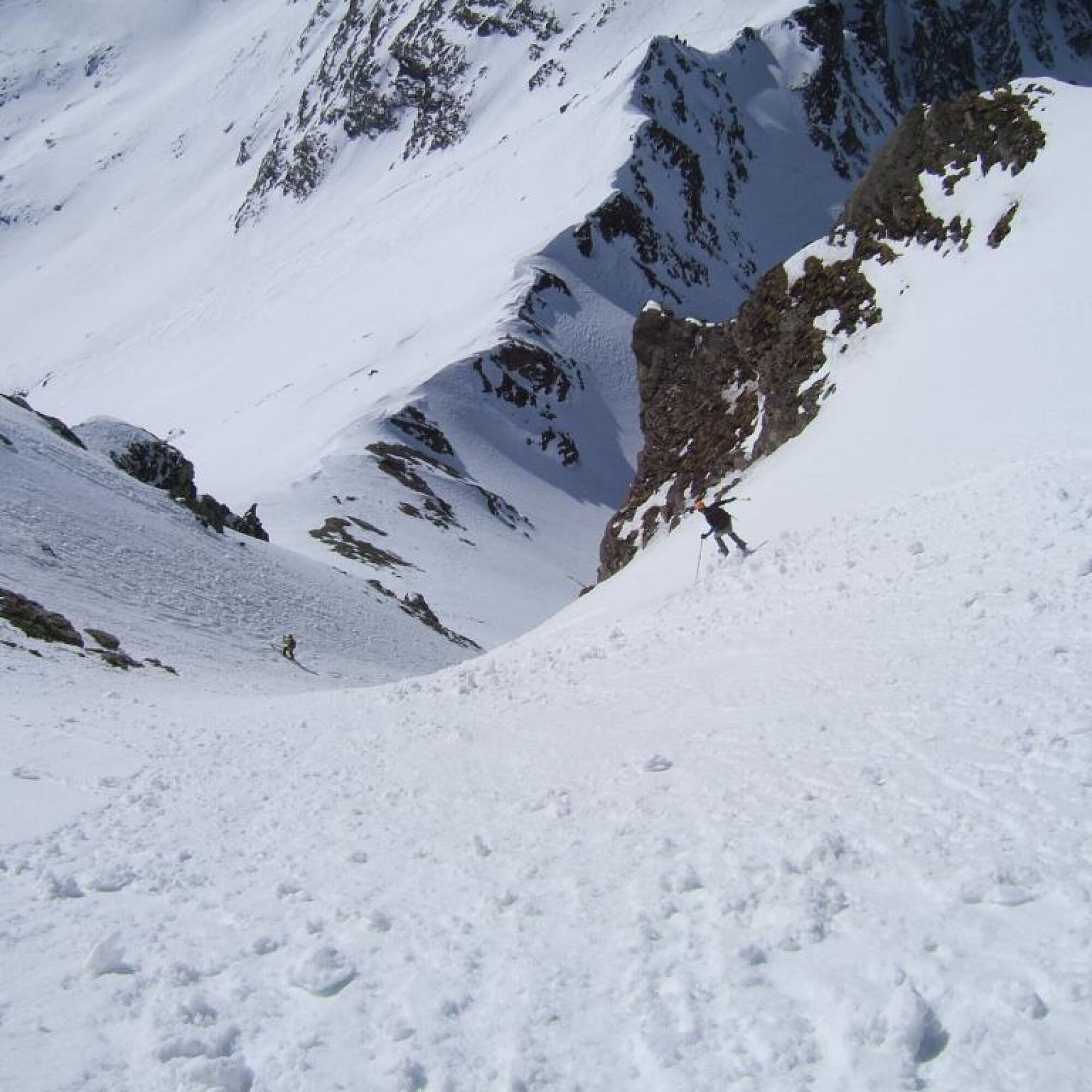
In spring, the very steep option to the Feldseescharte is offered: steep, spirited descent for confident skiers, but only with truly secure firn conditions! From the Feldseescharte directly down a magnificent 1000-meter slope to Jamnigalm.
Tak
Usual ski touring equipment with shovel, probe, and avalanche transceiver.
South gully only in the best conditions - but then magnificent!
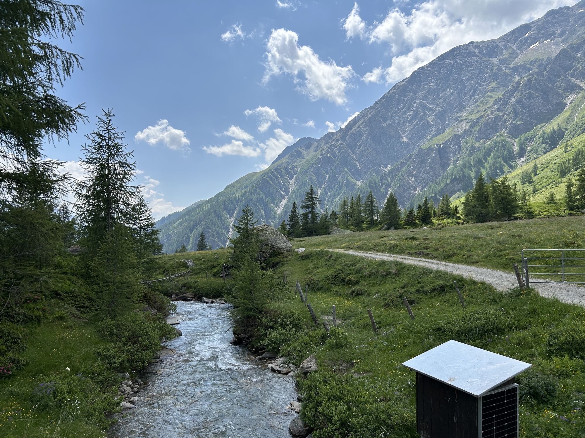
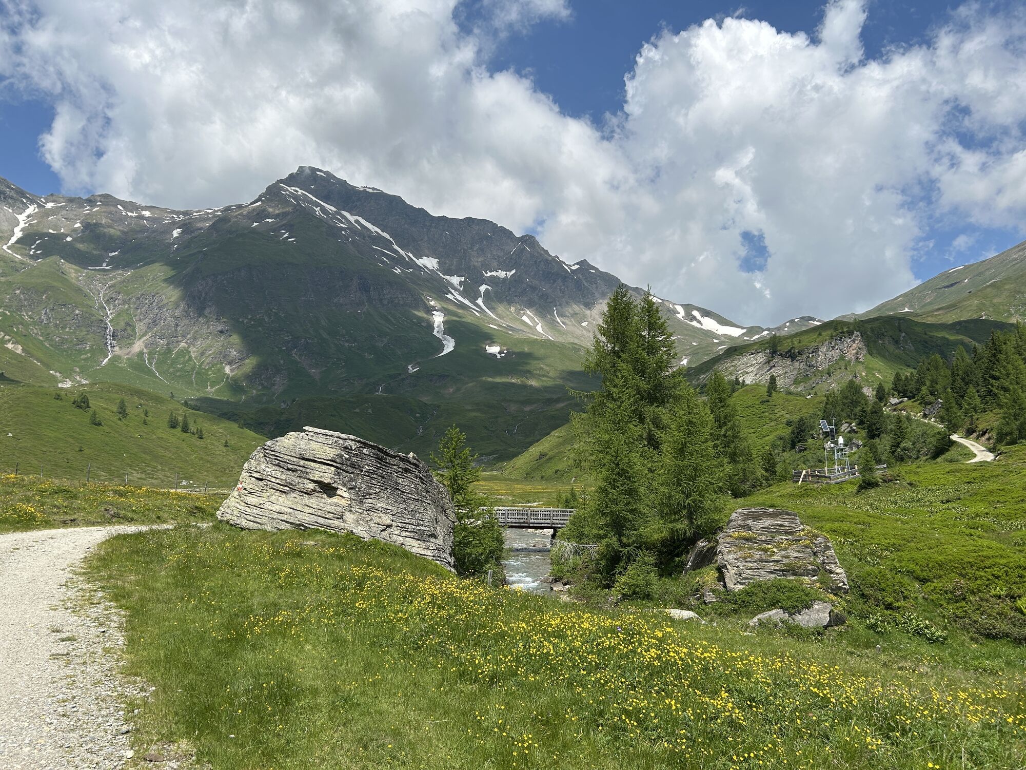
Please observe the winter rest area "Tauernmähder." Ski touring or ski sports are not allowed or desired here from December 1st to April 30th each year! Winter rest area according to Carinthian state law "Hohe Tauern National Park," LGBl No. 74/1986 – see link for more information.
From Mallnitz into the Tauern Valley to the parking lot at Stockerhütte (subject to fees).
From there, a ski touring taxi runs to Jamnigalm. Operating times: - anytime on pre-order: +43 (0) 664 / 1301 323 (Taxi Bernd Heller)
Thanks to its IC train station, Mallnitz is perfectly accessible without a car, with trains running from Salzburg and from Villach every two hours.
Large parking lot in the area of Stockerhütte (subject to fees)
Respect your limits - 5 rules for responsible snowshoeing or ski touring:
Where available, stay on marked routes; absolutely observe signs as well as protected, reserved, and restricted areas Consider wildlife: avoid feeding places and withdraw immediately and calmly if you see an animal Avoid young tree cultures (under 3 meters), ski edges can cause significant damage to trees Do not leave any waste behind Avoid noiseThe "après-ski swing" at the Stockerhütte should not be missed! Rustic hut, open fireplace, homemade dishes.
Kamery internetowe z trasy
Popularne wycieczki w okolicy
- 4,8
Wanderung zur Schwussner Hütte
światłoWędrówka 8,07 km - 4,8
Hüttenkogel - Graukogel von der Bergstation
średniWycieczki górskie 4,68 km - 4,7
Hohe Sonnblick Up
ciężkiWędrówka 9,14 km - 4,5
Mountain route from the Kötschachtal to the natural jewel Reedsee
średniWędrówka 12,5 km - 5,0
Silberpfennig, Salzburger Land/Österreich
średniWędrówka 13,8 km - 4,5
Niedersachsenhaus
średniWędrówka 4,84 km - 4,5
Arthur von Schmidhaus
średniWędrówka 6,36 km - 5,0
Rifflscharte - Kolmkarscharte - Bockhartscharte - Sportgastein
średniWędrówka 13,5 km - 4,0
Ankogel
Wędrówka 3,40 km - 4,6
Bad Gastein-Böckstein-Sportgastein(Schlechtwettervariante)
Wędrówka 17,2 km
Wędrówki i tropienie


Nie przegap ofert i inspiracji na następne wakacje
Twój adres e-mail została dodana do listy mailingowej.