






Lavamünd: Borderland bike tour
Poziom trudności: 1
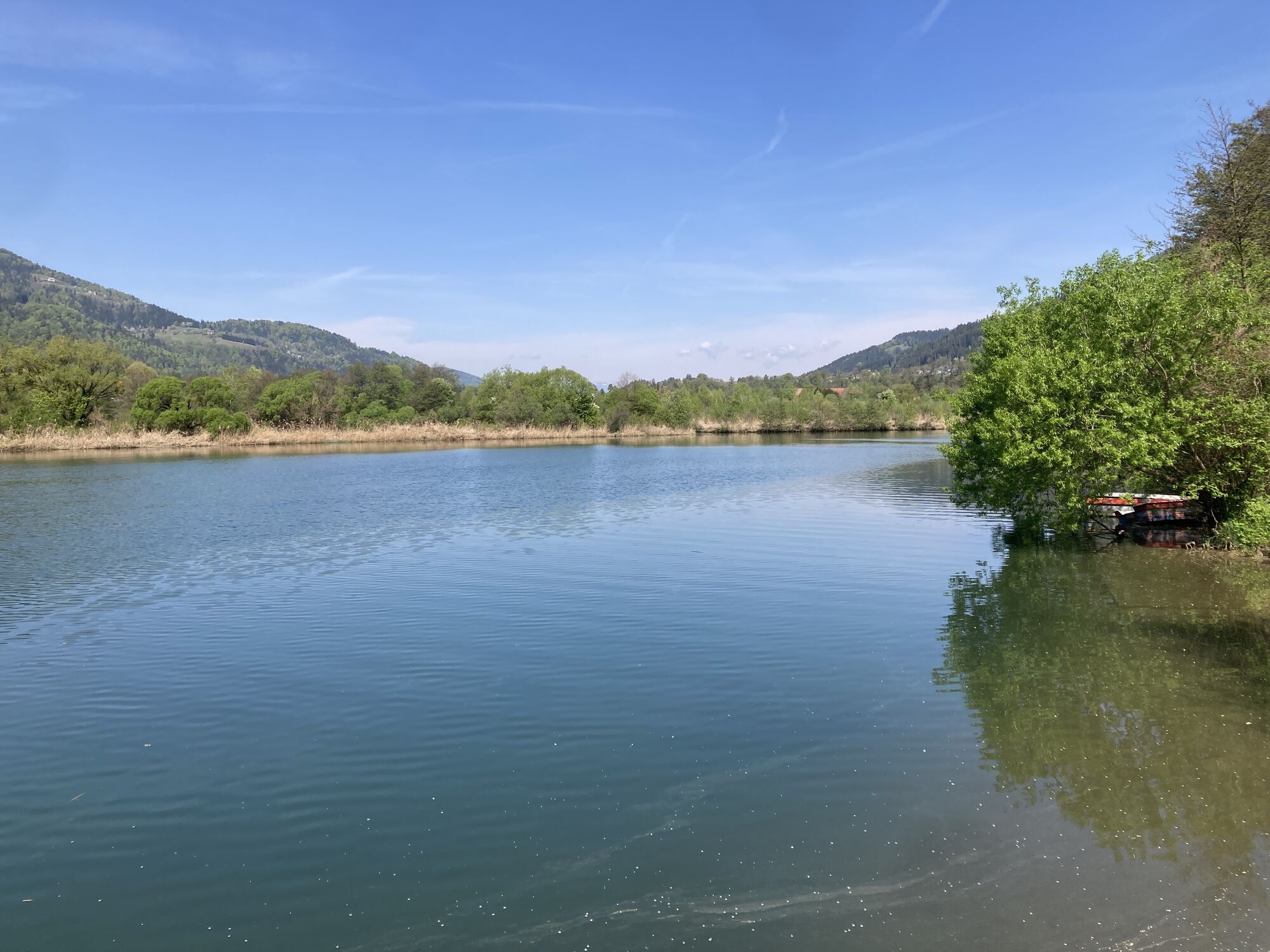
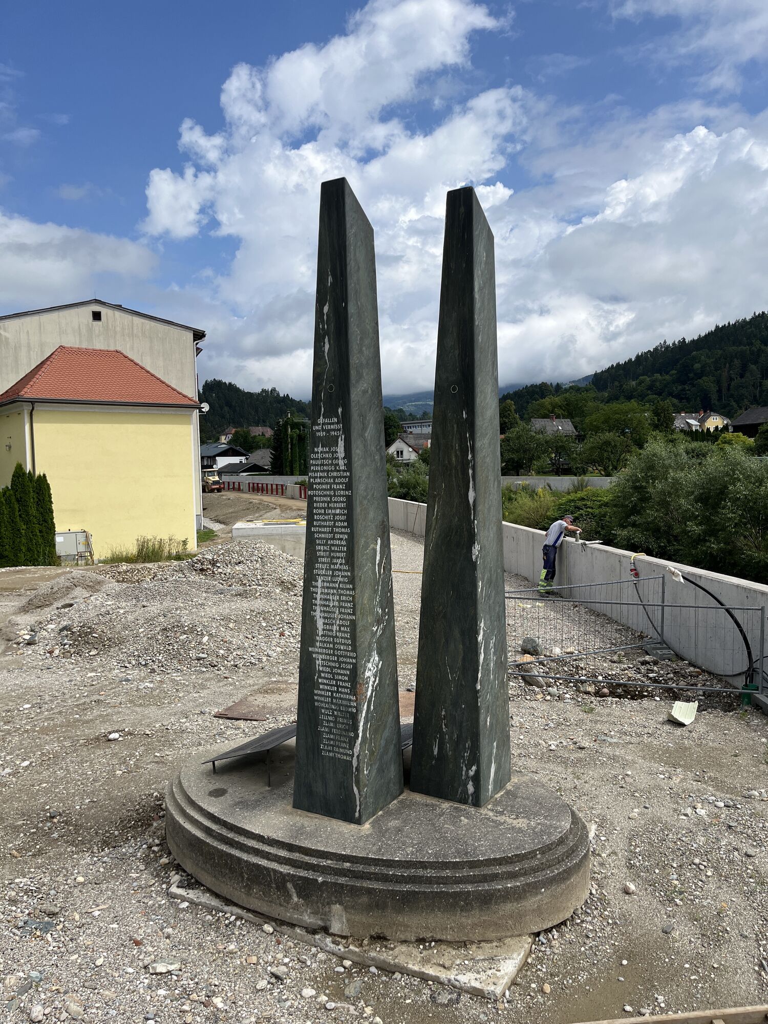
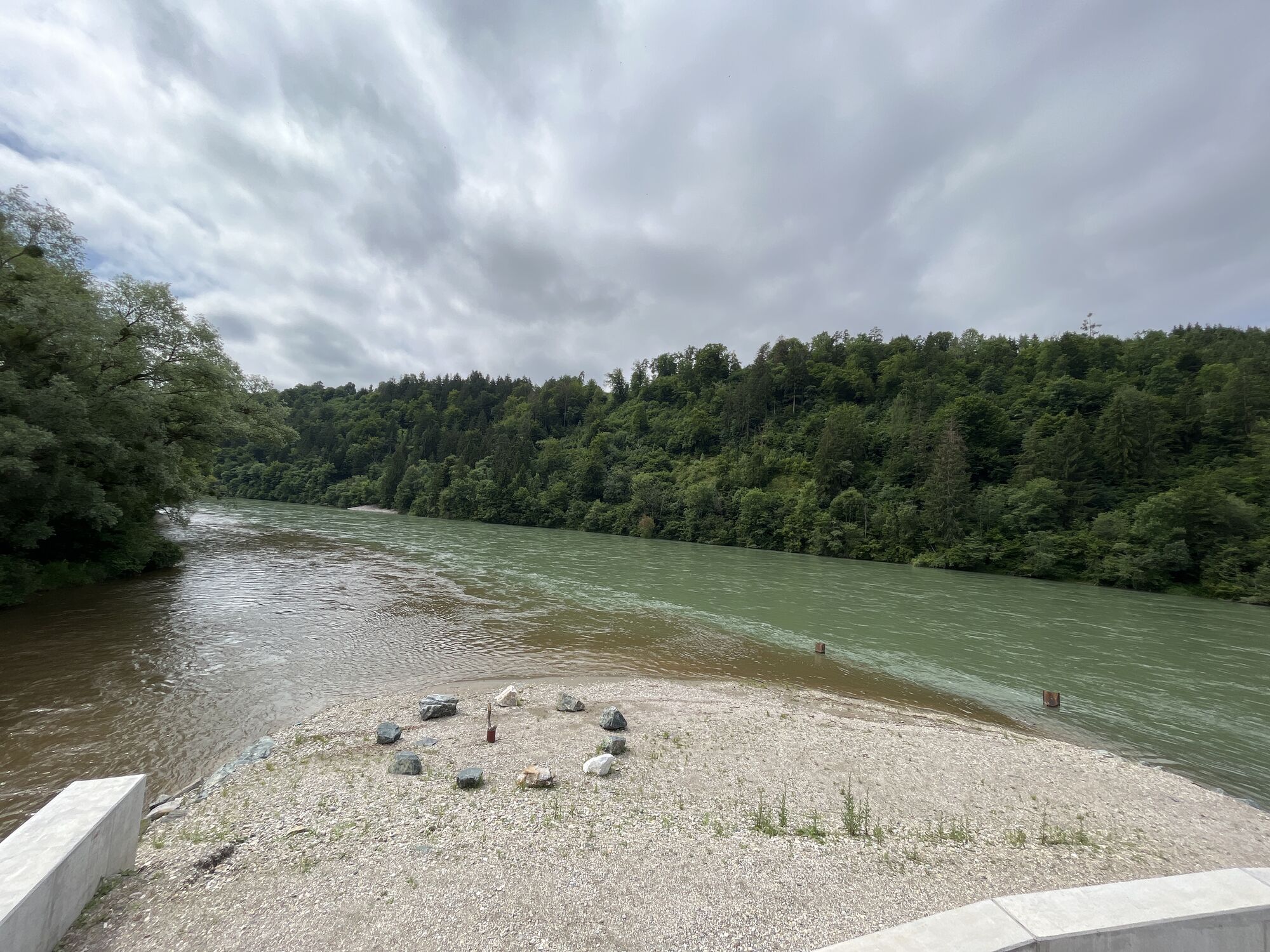
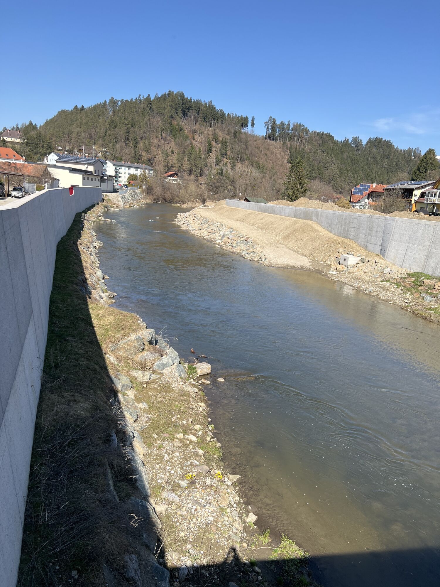
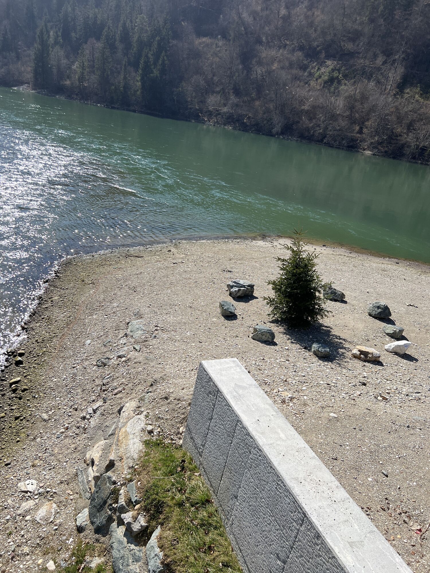
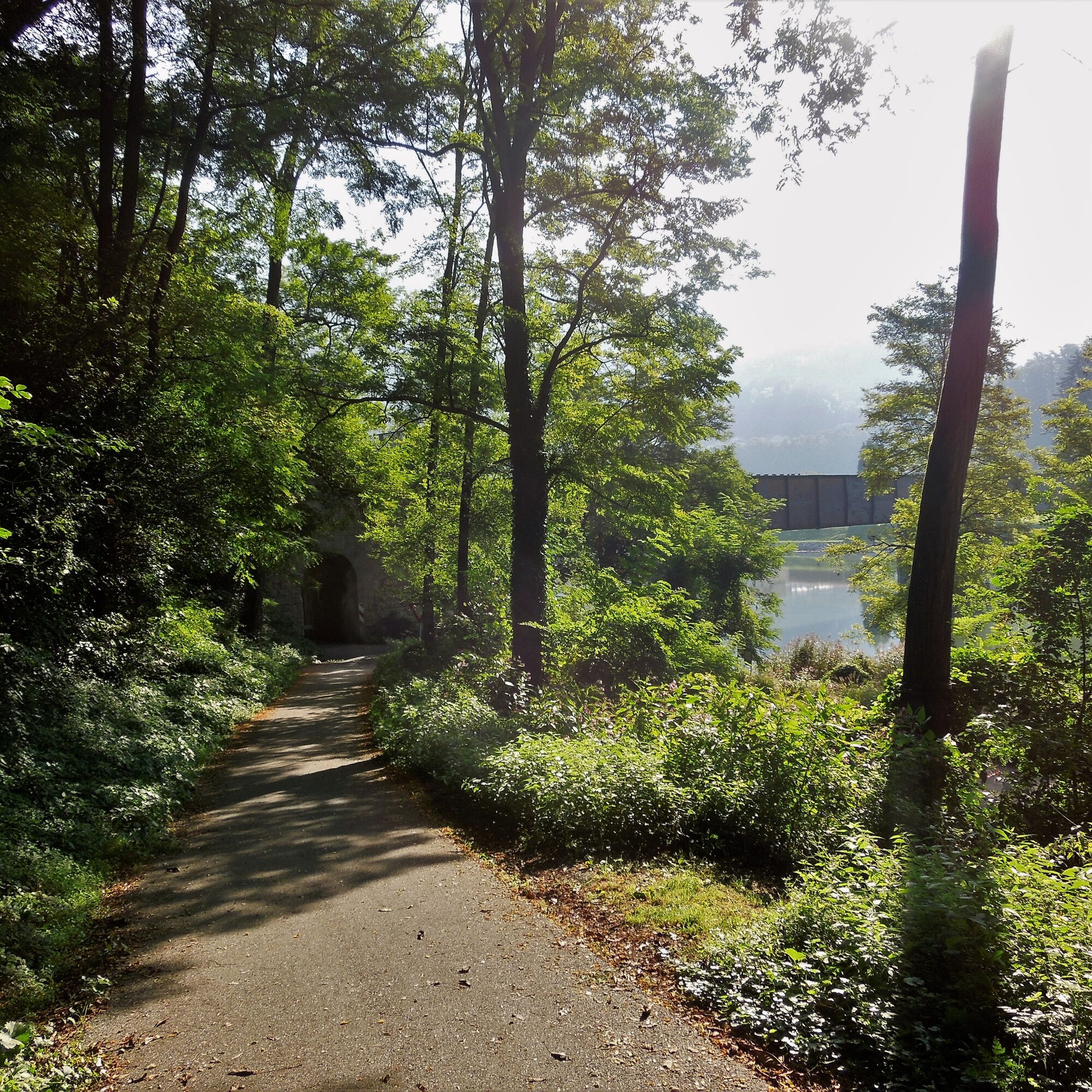
The bike tour is easy to manage altitude-wise and runs mostly on cycle paths or old disused railway embankments (all asphalted). Crossing the border, starting from Lavamünd, you can get to know and enjoy...
The bike tour is easy to manage altitude-wise and runs mostly on cycle paths or old disused railway embankments (all asphalted). Crossing the border, starting from Lavamünd, you can get to know and enjoy cultural, natural, and culinary experiences of two regions. The route crosses the border to Dravograd and Slovenj Gradec.
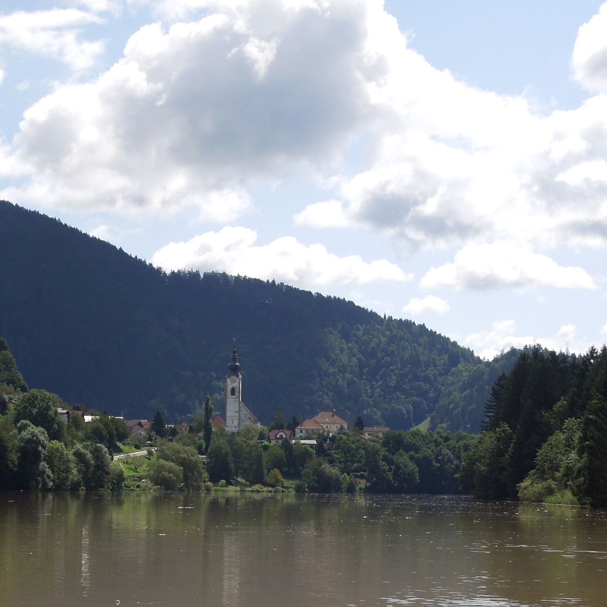
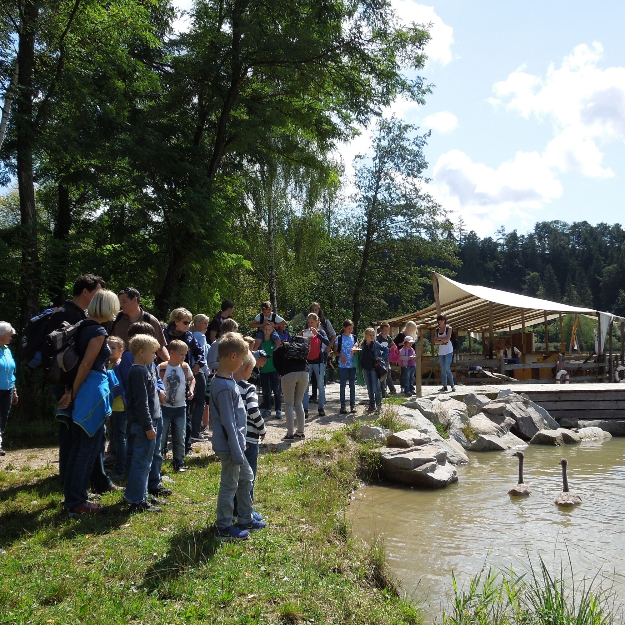
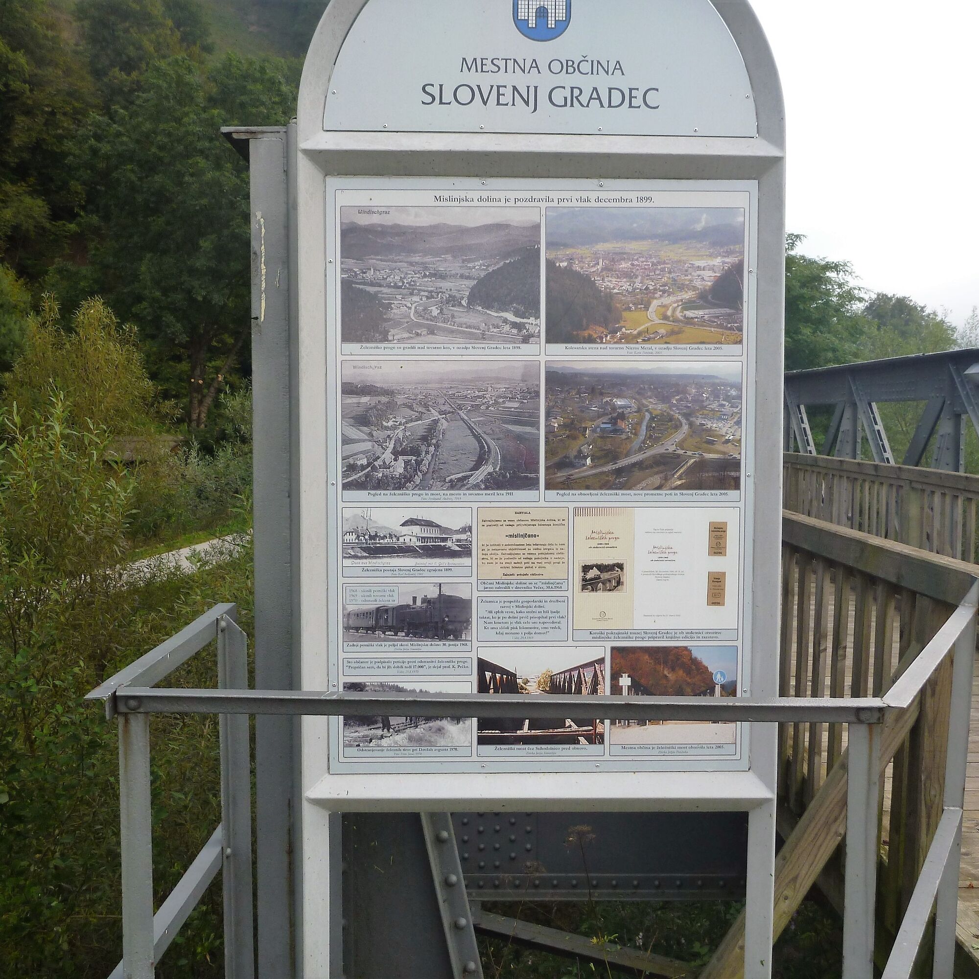
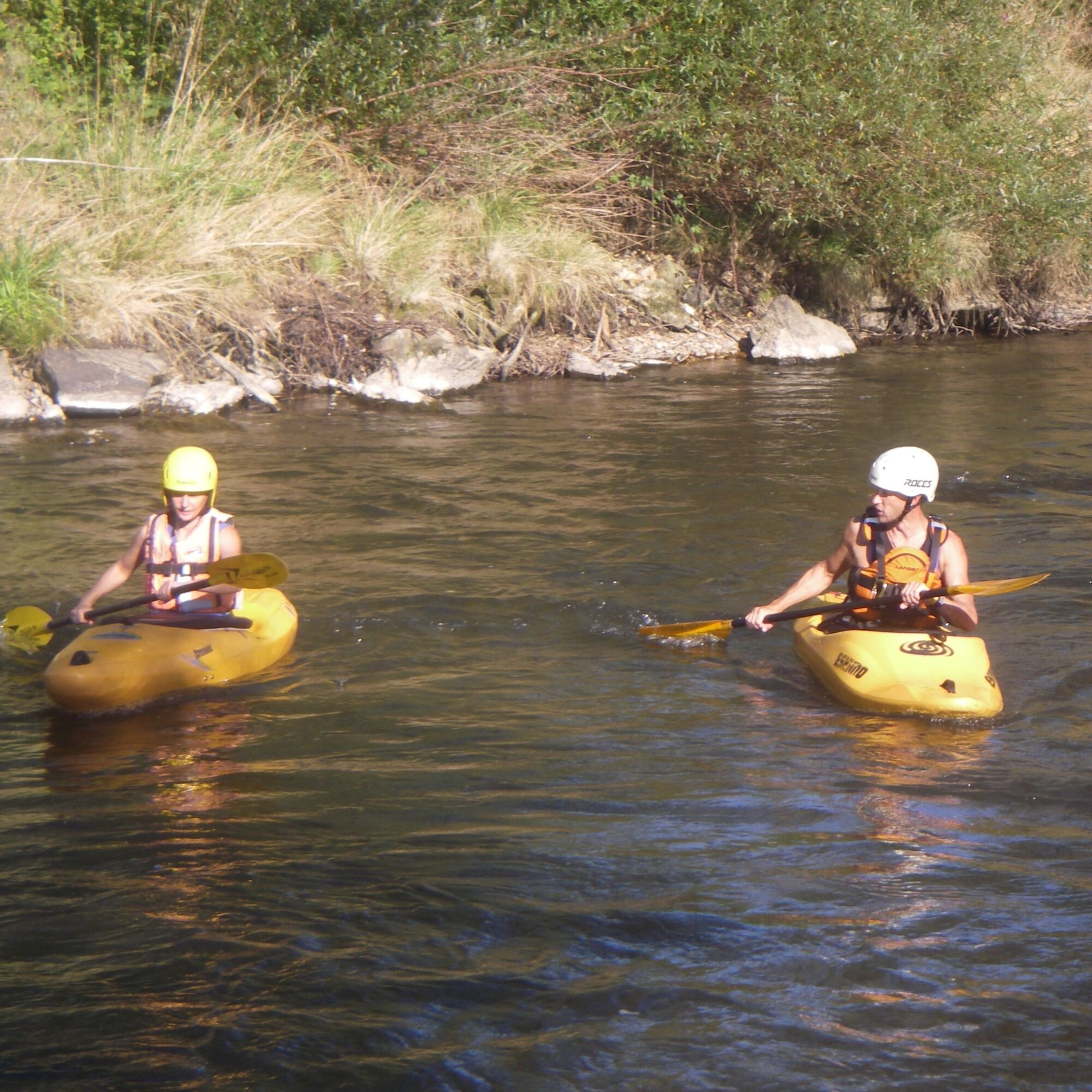

Variant 1:
Lavamünd - Slovenj Gradec - Lavamünd
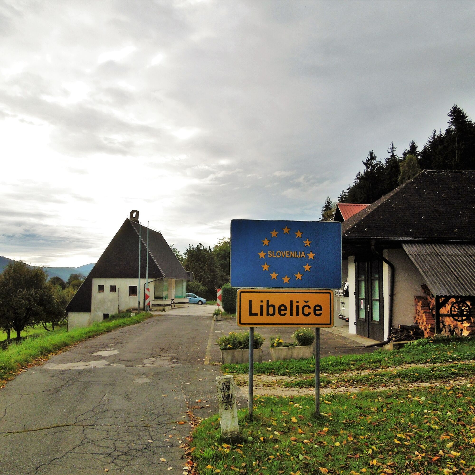
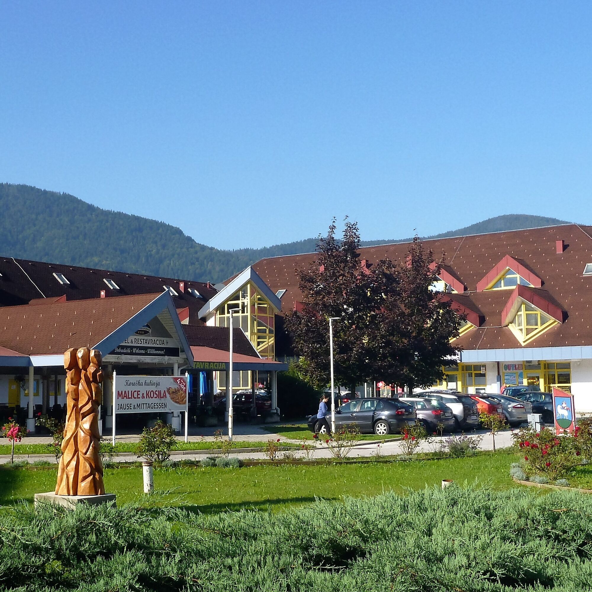
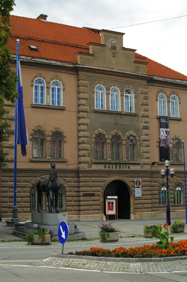
The route begins in Lavamünd and leads over the Drau bridge (Drau cycle path R1) on rather lightly trafficked, asphalted roads to Unterpudlach and further to Libelice. During the ride to Dravograd and onwards to Slovenj Gradec, you discover small rural villages where time seems to have stood still. A break in Slovenj Gradec can be used to visit a museum or a gallery, where exhibitions by artists regularly take place. On the return journey, you reach the Drau cycle path R1 in Dravograd, which leads back to Lavamünd and reaches the lowest point of the Drau cycle path on the Austrian side. Once back in Lavamünd, you can end the pleasure tour in one of the catering establishments.
Variant 2:
Lavamünd - Dravograd - Lavamünd
Shortened route of variant 1 with the same direction. The route goes via Unterpudlach, Libelice, Dravograd, and back to Lavamünd.
Tak
Tak
If you have brains, protect them!
The helmet is a matter of course when cycling.
Right clothing!
Carry warm clothing and a spare jersey even in summer, especially in the pre- and post-season. Without rain protection, bad weather can be uncomfortable.
Carry emergency equipment!
First aid kit, bike repair kit (spare tube, pump, tools), map, mobile phone, and possibly GPS are always with you.
Drink constantly & eat in time!
Drink sufficiently and plan a stop in time. A hunger break in the middle of nowhere is tough.
Adjust speed!
Always ride defensively and only as fast as you can stop in time for obstacles or avoid oncoming traffic. Always be attentive. It’s cool to pass pedestrians slowly.
Right self-assessment!
Do not overstrain yourself and your companions. Plan reserves.
A2 South motorway, exit St. Andrä i. L., then via L 135 south on the St. Paul state road to St. Paul and onwards to Lavamünd.
Arrival by public transport possible. Info under ÖBB Timetable.
Parking options available in town or at the Gasthof Hüttenwirt.
1
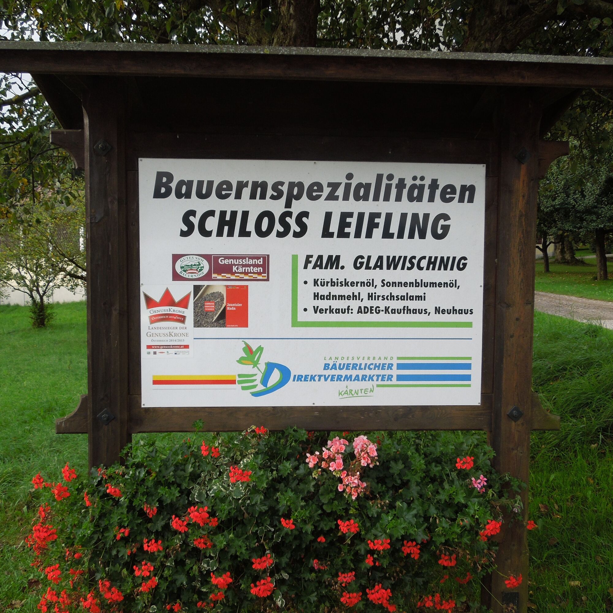
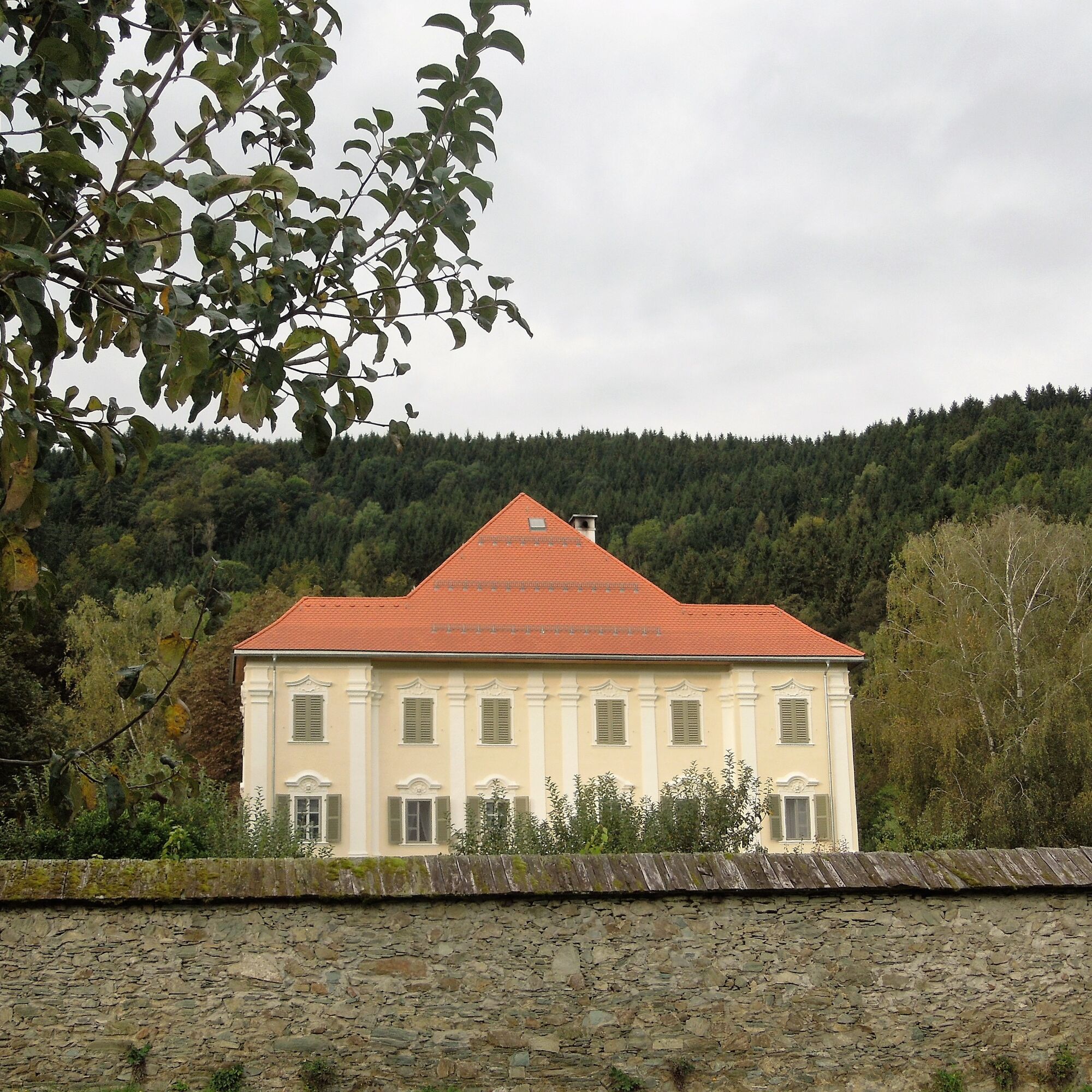
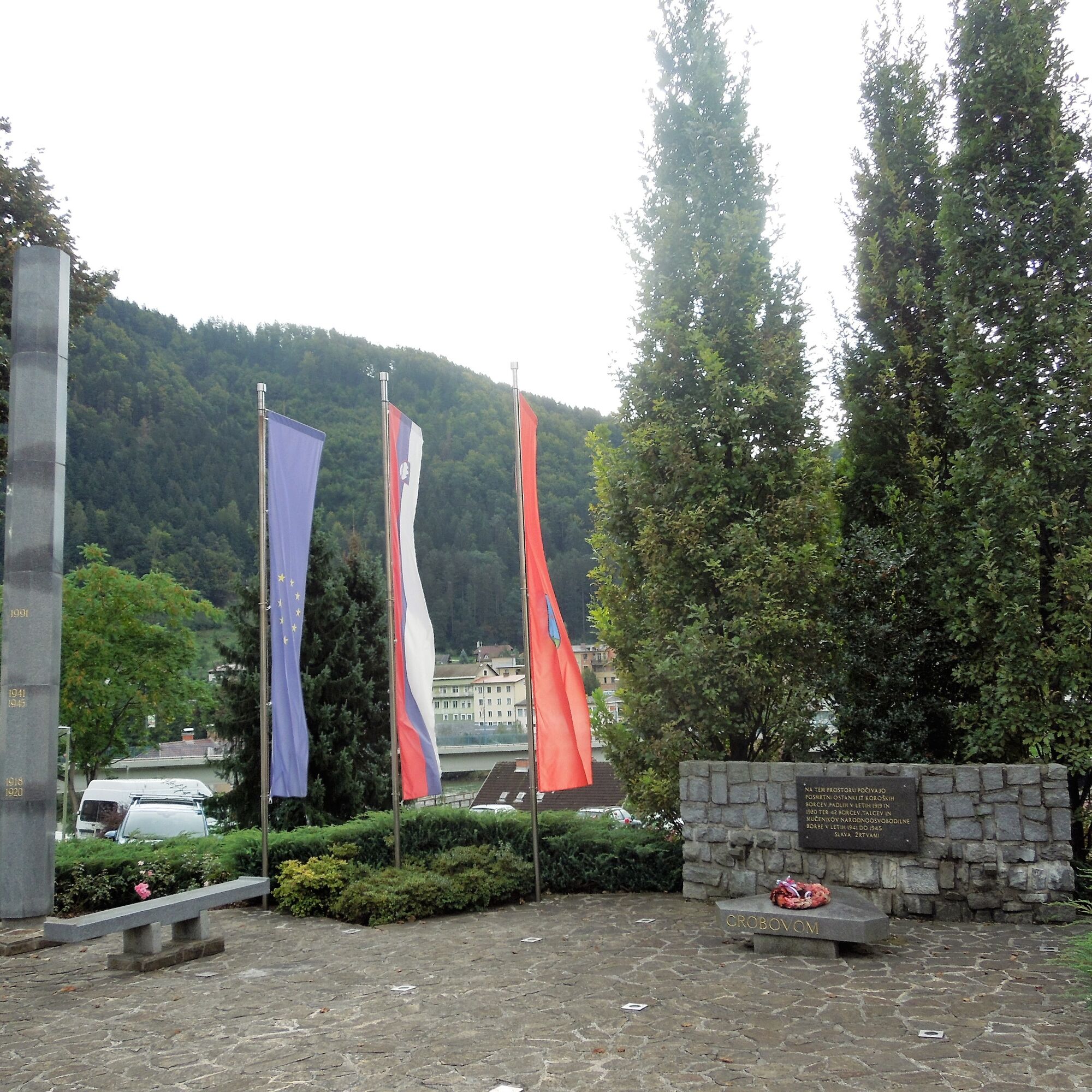
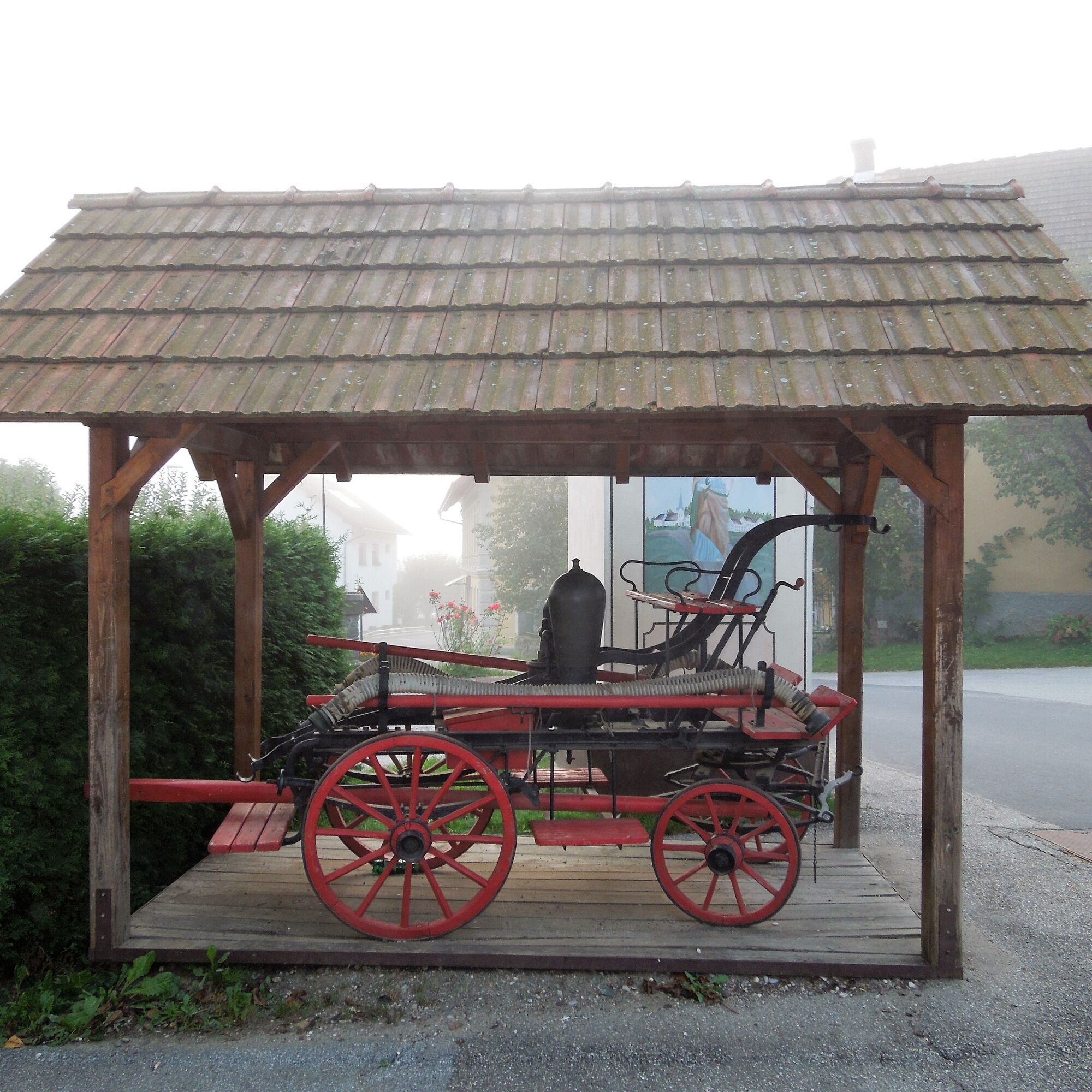
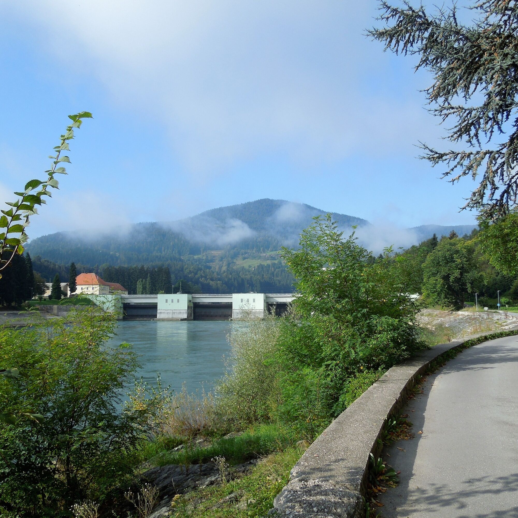
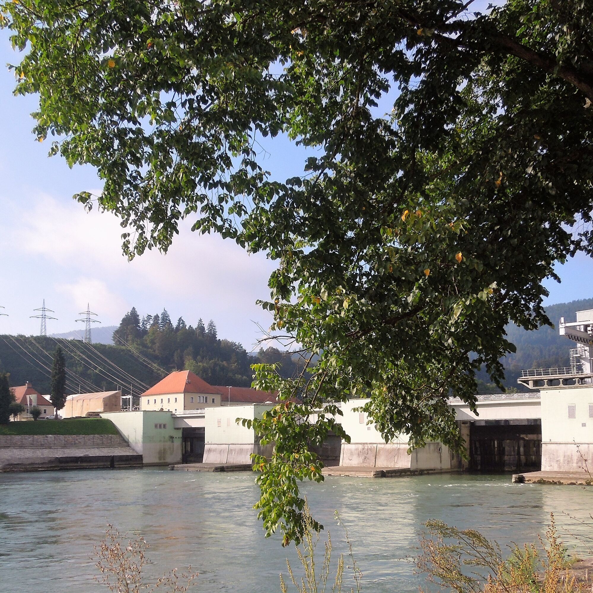
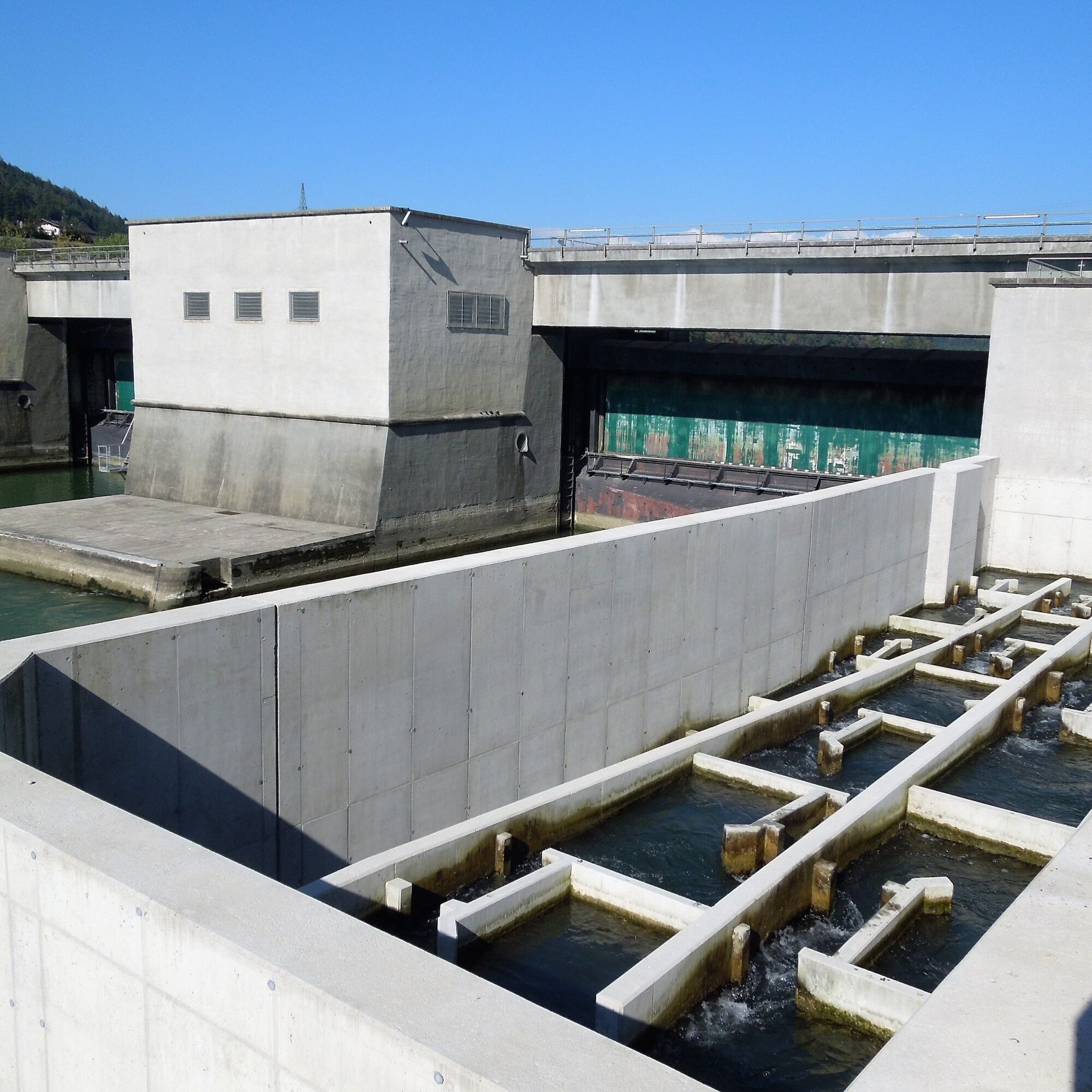
There are many interesting and beautiful points along the route that you can experience with all your senses. Therefore, it is worth exploring this route without time pressure. Explore power plants, rural villages, biotopes, and museums on this wonderful tour.
 Uzyskaj wgląd Zawsze na żywo z ponad 9 500 kamer internetowych. bergfex Jako użytkownik Pro, możesz teraz zobaczyć odpowiednie kamery internetowe dla wielu wycieczek w aplikacji wycieczki od. Pozwala to na bezpośredni podgląd aktualnych warunków.
 Popularne wycieczki w okolicy
- 4,2
Soboth Runde St.Vinzenz-Dreieckhütte-Gundischhütte
światłoWędrówka 12,4 km - 2,9
Lavamünd: Klettergarten u. Klettersteig Dreifaltigkeitsfelsen
średniVia ferrata 1,11 km - 4,5
Spazierweg Stausee Soboth
światłoWędrówka 3,75 km - 3,5
Glashütten Rundweg
średniWędrówka 15,5 km - 5,0
Three Rivers Cycle Route: Lavant-Drau-Mislinja
średniJazda na rowerze 67,6 km - 3,3
Dreieck
światłoWędrówka 10,2 km - 4,2
Koča na Naravskih ledinah - Naravski vrh - Uršlja gora - Dom na Uršlji gori
średniWędrówka 7,99 km - 5,0
Soboth Runde St.Vinzenz - Feistritztal - Stiftshütte (Kärntner Brandl) - Nähe Gundischhütte - Hiesingbachtal
średniWędrówka 9,99 km - 3,7
Lavamünd: GEO Trail
światłoTrasa tematyczna 5,87 km - 3,7
Dreiecktour
Wędrówka 15,6 km
Wędrówki i tropienie


Nie przegap ofert i inspiracji na następne wakacje
Twój adres e-mail została dodana do listy mailingowej.





