





On the heritage route of Hrastovlje and surrounding areas
Moderately demanding route on dirt roads and paths, suitable for light hiking footwear. Recommended at all times of the year, except in intense heat and strong bora wind. Since the path runs on firm Karst...
Moderately demanding route on dirt roads and paths, suitable for light hiking footwear. Recommended at all times of the year, except in intense heat and strong bora wind. Since the path runs on firm Karst ground, it is suitable also during rainy periods.


From the parking lot, we head past the chapel towards the church and turn left through the village.
At the fork (Galerija Pohlen is on the left), we take the dirt road; at the next junction, we turn right uphill to the railway underpass.
We follow the yellow markings and continue straight through an S-shaped bend to the next fork, where we again follow the markings to the left, horizontally across the meadows, then along a wider path uphill to PodpeÄ.
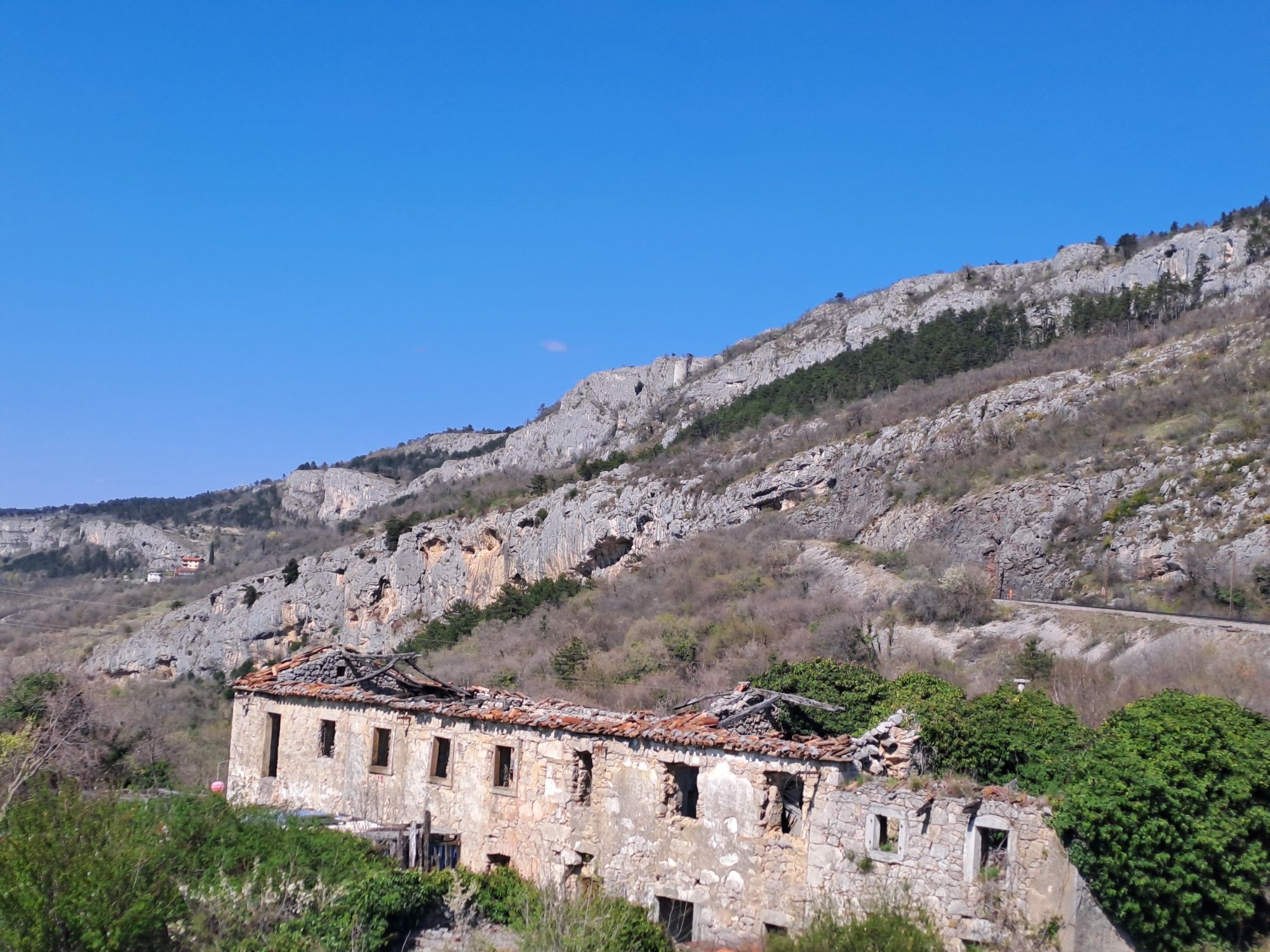
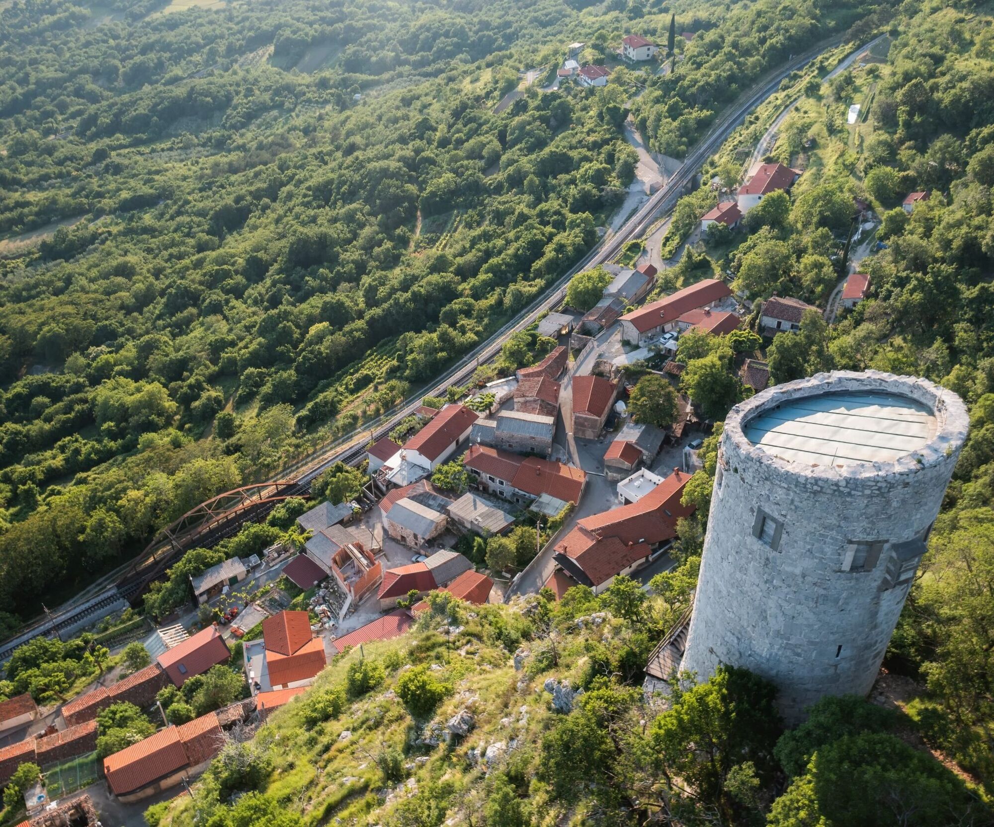
Along the asphalt road under the railway, we continue through the village where you can visit the renovated PrkiÄ House, a remnant of ancient architecture under the Karst edge. Also interesting is the overhanging cliff with a cave and a defensive tower from the 11th century that rises behind the houses.
At the end of the village, the road levels off, but we follow the markings steeply uphill on a mountain trail to the tower and then to the top of the cliff, where you get a magnificent view of Koper, Trieste, and a large part of Istria.
We follow the yellow markings and turn right into the forest and almost horizontally reach the water reservoir.
Along the gravel road, which here rises over the cliff, we turn left, cross the railway, and continue moderately uphill to a fork where the road turns sharply left towards Podgorje (wooden signpost), but we continue straight and after 300 m at the next fork turn right towards Brežec.
We bypass a picturesque hamlet to the left and continue along the dirt road through the forest, which at the end descends to the railway at the Zazid railway stop.
We cross the railway and immediately turn right, following the markings that lead us down to the road (water) and to the end of the village (e-point).
Past the ancient church of St. Martin, we reach a large board with tourist information and continue right along a narrow dirt road in front of the embankment of the covered torrent.
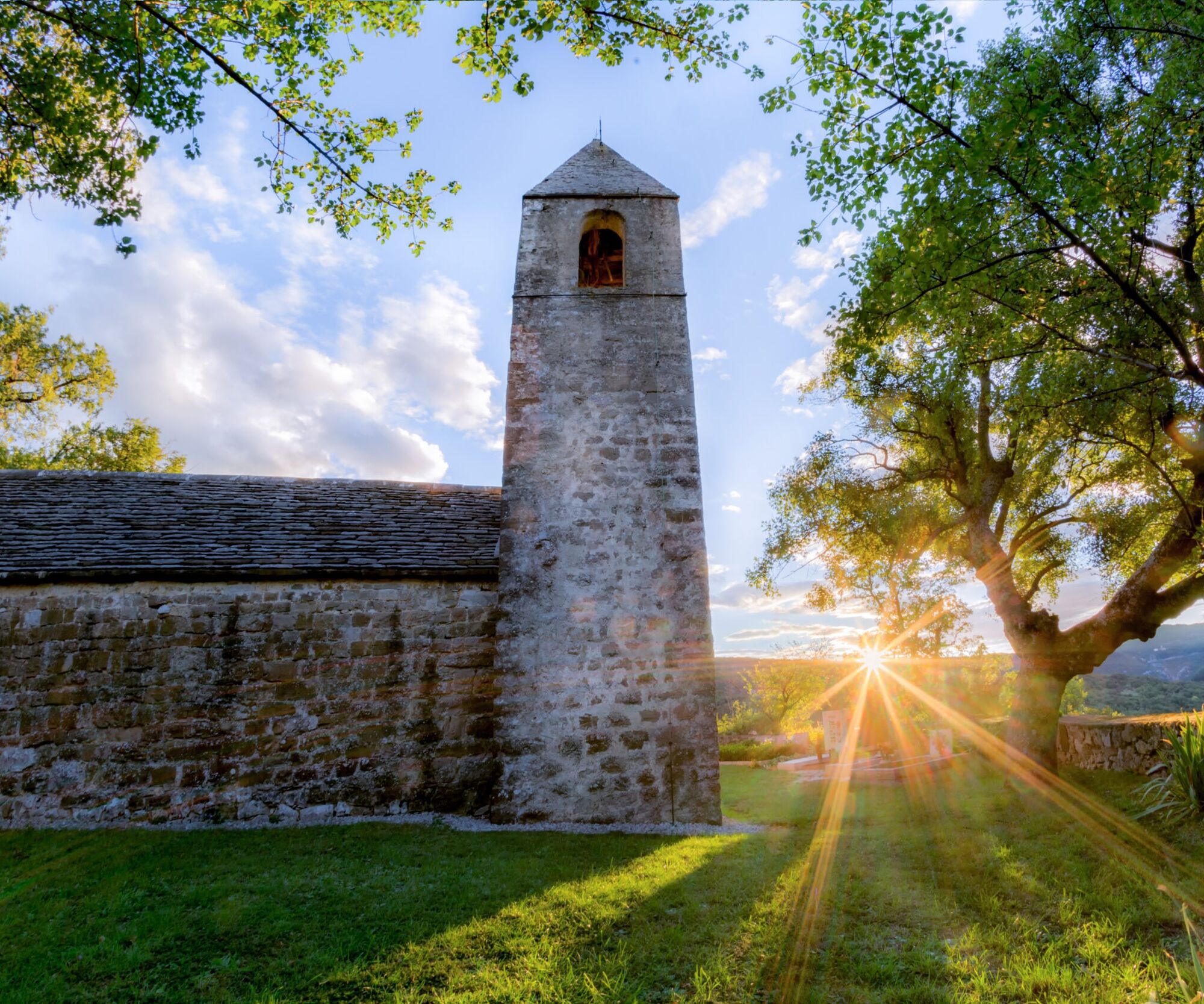
When the path begins to descend, we continue right along the path heavily eroded by water. The path leads us under the railway to the deserted village of Zanigrad. We descend to the church of St. Stephen, covered with slate, with frescoes from the 15th century and a Glagolitic inscription from 1418. Every year on December 26, a traditional "horses’ blessing" is held here, attracting crowds of visitors.
We leave the road and, following the markings, first continue right along the church, then semicircular left on the mountain trail moderately steep downhill to the railway underpass, where our circle closes.
Here we turn left and return along the same route we used to ascend to PodpeÄ back to Hrastovlje. In Hrastovlje, you can visit the Pohlen Gallery and see the famous Dance of Death frescoes in the Romanesque church of the Holy Trinity from the early 12th century.
Tak
Hiking equipment with a windbreaker
Strong wind possible
From the Ljubljana-Koper highway, exit at Ärni Kal and follow signs for Hrastovlje
You can reach Hrastovlje by local bus
Available
Points of interest on the route:
- The fortress church of the Holy Trinity
- Pohlen Gallery in Hrastovlje
- PrkiÄ House and defensive tower in PodpeÄ
- Church of St. Stephen in Zanigrad
- Church of St. Martin in Zazid
Surface: dirt roads and paths, Karst plateau and slopes of Slavnik with rich flora, magnificent views of the Trieste and Koper bays with hinterland, Brkini and ÄiÄarija
Popularne wycieczki w okolicy
- 5,0
Val Rosandra Rundwanderung
średniWędrówka 8,06 km - 5,0
Val Rosandra,San Dorligo della Valle, kleine Runde
średniWędrówka 7,42 km Triest i Koper / Koper Ring (R050)
średniKolarstwo długodystansowe 52,3 km- 5,0
Trieste - Giordano Cottur / Viadotto panoramico
światłoMountainbike 36,7 km - 5,0
Trail on the blooming Slavnik
średniWędrówka 7,79 km Slavnik iz Podgorja
średniWędrówka 5,72 km- 5,0
AAT Etappe 36 Lipica-Bagnoli della Rossandra
średniWędrówka 17,5 km - 4,5
Circular "Trail for Heart"
światłoWędrówka 9,50 km - 3,0
Glinščica - Val Rosandra, Botač - Bottazzo, Monte Stena
średniWędrówka 11,1 km Visit the shores of Adriatic sea
światłoDroga rowerowa 35,1 km
Wędrówki i tropienie


Nie przegap ofert i inspiracji na następne wakacje
Twój adres e-mail została dodana do listy mailingowej.





