






11 SI Komen‒Malchina/Mavhinje
A short route perfect for those wishing to combine a historical approach with places of the Great War, including cemeteries and natural caves used for military purposes, with the environments and ethnographic...
A short route perfect for those wishing to combine a historical approach with places of the Great War, including cemeteries and natural caves used for military purposes, with the environments and ethnographic and natural beauties of the Karst area. Typical of this route, short and easily manageable by any kind of hiker thanks also to the slight elevation change, are the small villages with groups of houses in Karst style built from stone. The pastures are enclosed by typical dry stone walls. The characteristic nature offers both a splendid spring bloom among wild plums, broom, and forsythia, as well as a striking foliage that colors the territory gold and intense red in the autumn period.

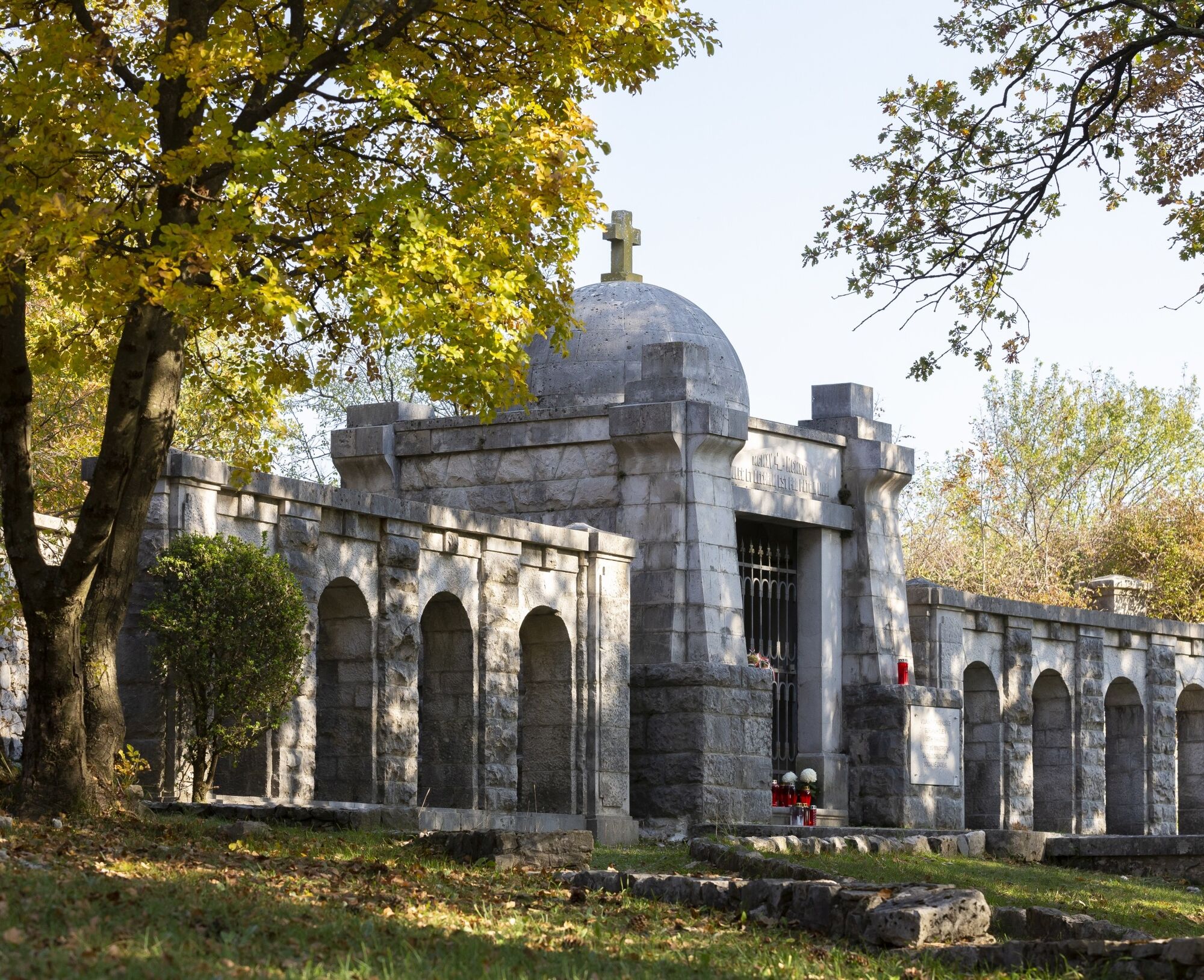
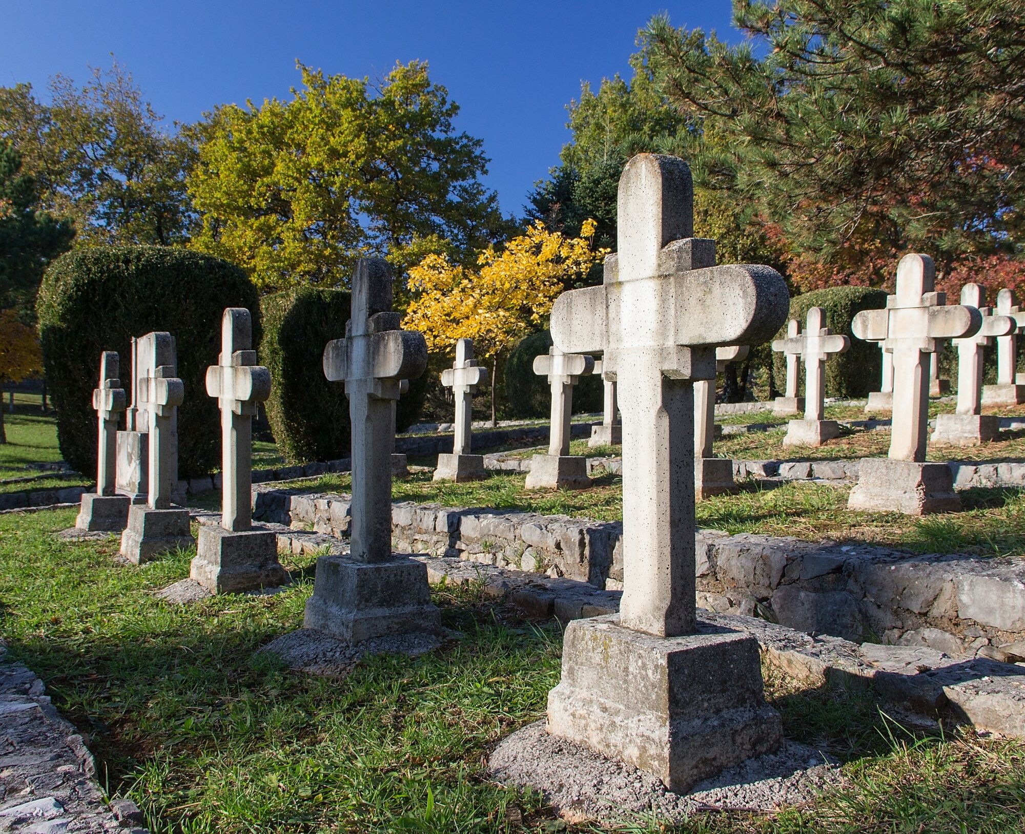
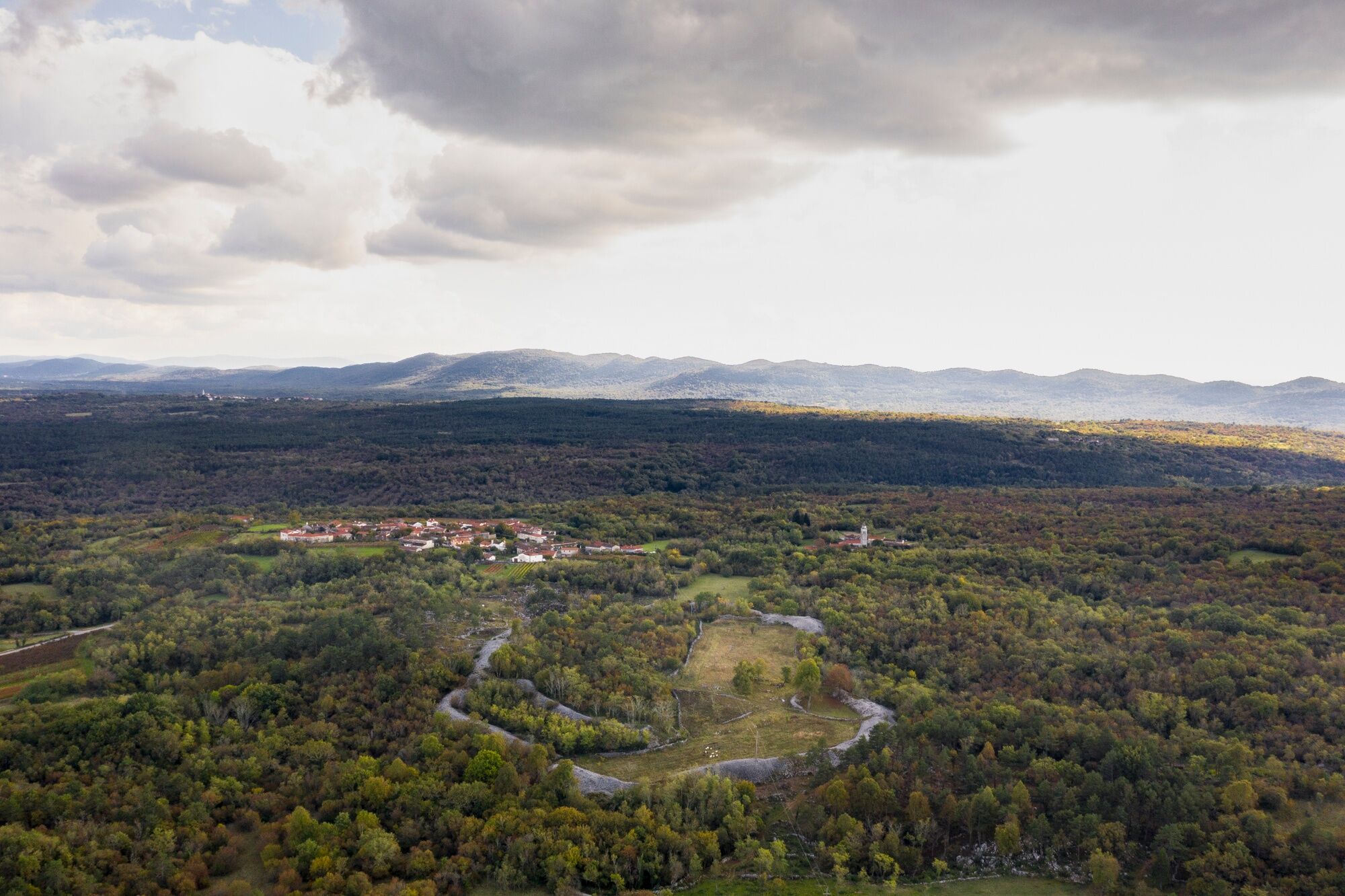

The stage starts from the center of Komen heading towards Debela griža where you can see one of the best-preserved prehistoric hillforts in the entire Karst region. Then it proceeds towards VolÄji Grad, Nadrožica until reaching Gorjansko where the largest Austro-Hungarian military cemetery in Slovenian territory is located, whose monumental part was completed in 1916. From this point, following the road, the path goes towards the Italian border until crossing it and concluding the route finally reaching the village of Malchina. This is the southernmost point of the ring started from Nova Gorica. From here, you can decide whether to go back through the parallel Italian stages or continue towards Trieste/Trst.
Tak
Trekking shoes and clothing, packed food and drinks, flashlight, trekking poles.
Bus connections:
Nova Gorica–Štanjel
Štanjel–Komen
Komen–Gorjansko
Connections to and from Malchina:
Line 43 (Trieste Trasporti) transfer to line 44 for Trieste center.
Departure: in the center of Komen (near the gas station) or the parking lot next to the church
Arrival: Malchina Square
If you wish to undertake the hike in summer, it is recommended not to proceed during the hottest hours due to high temperatures and long stretches without shade.
In Gorjansko, the Church of St. Andrew is interesting, with paintings by the artist Tone Kralj, and just outside the village is the Austro-Hungarian cemetery with 6,000 soldiers who fell during the Great War.
Popularne wycieczki w okolicy
- 4,7
Rilkeweg
światłoWędrówka 6,19 km - 4,6
Triest-Opicina (Obelisk) nach Prosecco
światłoWędrówka 4,28 km - 2,7
Grado - Triest (C204)
średniKolarstwo długodystansowe 68,2 km - 5,0
Etappe 34 Alpe-Adria-Trail: Duino - Prosecco
średnidługodystansowy szlak pieszy 24,3 km - 5,0
Sage Trail or Tiziana Weiss
światłoWędrówka 2,41 km FVG 2/b Wariant krasowy (C2V2)
ciężkiKolarstwo długodystansowe 105,1 km- 4,0
Etappe 33 Alpe-Adria-Trail: Gradisca d'Isonzo - Duino
średnidługodystansowy szlak pieszy 27,8 km Carsus Trail - a long-distance trail through the Karst region of Slovenia and Italy
średnidługodystansowy szlak pieszy 102,2 km5.Etappe: Gradisca-Triest 40km, 150Hm
światłoJazda na rowerze 40,0 kmDall’obelisco di Opicina ad Aurisina, lungo il ciglione carsico
długodystansowy szlak pieszy 16,8 km
Wędrówki i tropienie


Nie przegap ofert i inspiracji na następne wakacje
Twój adres e-mail została dodana do listy mailingowej.





