


Summit hike Schafharnisch, 2110 m.a.s.l.
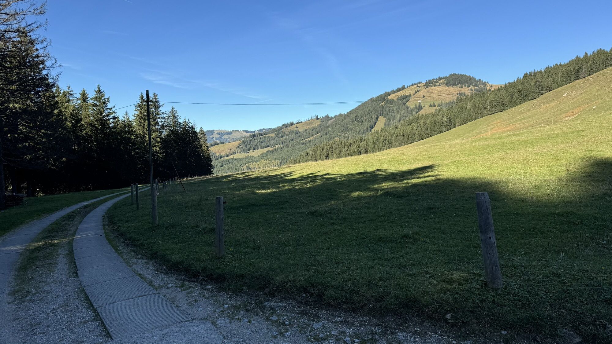
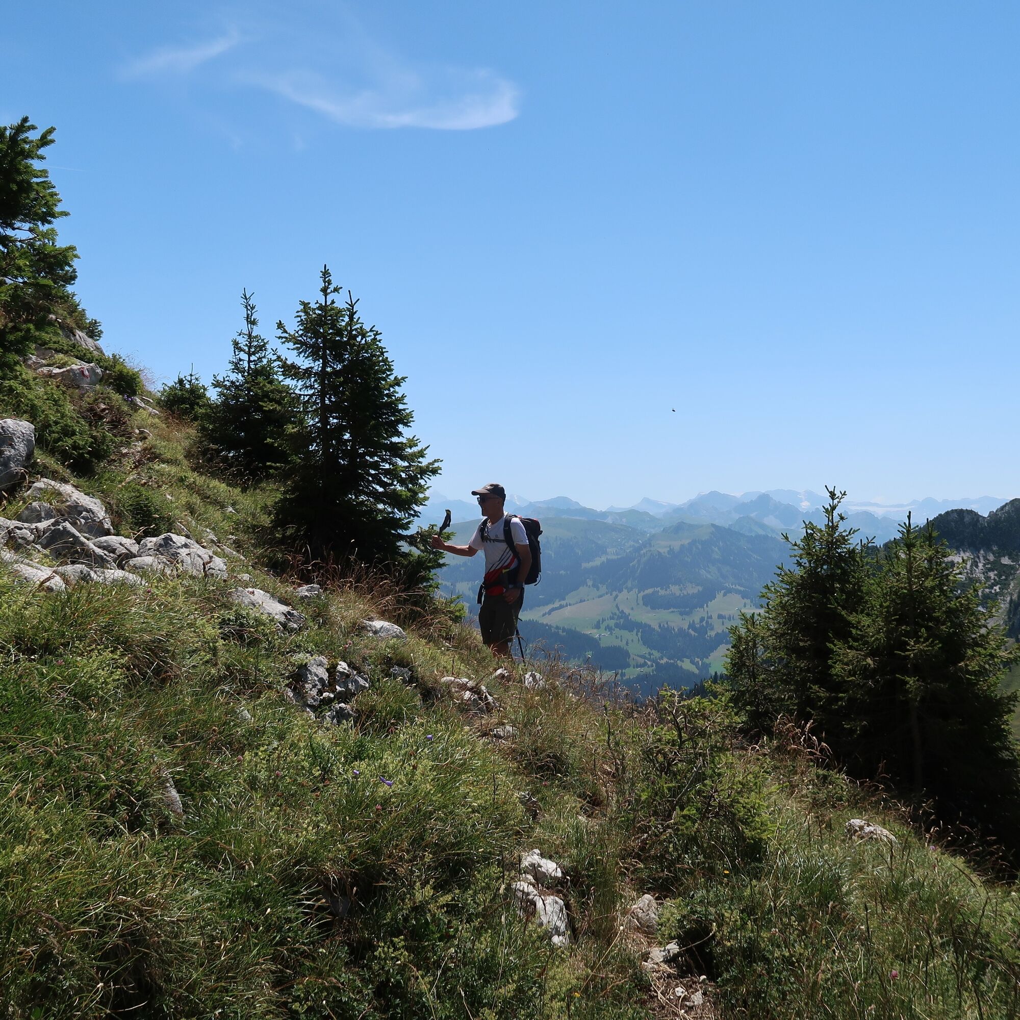
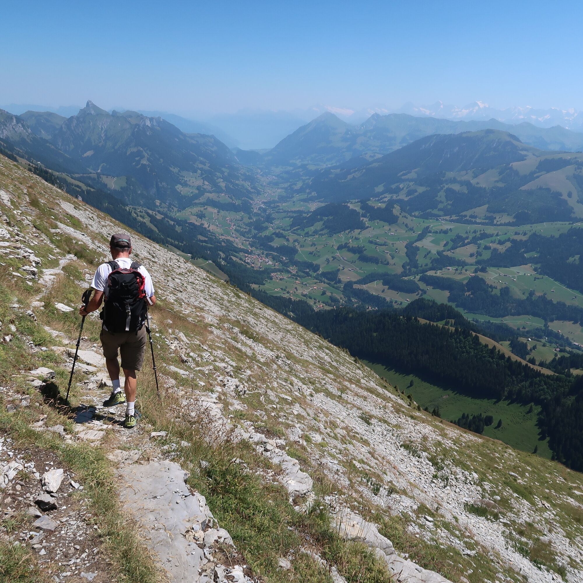
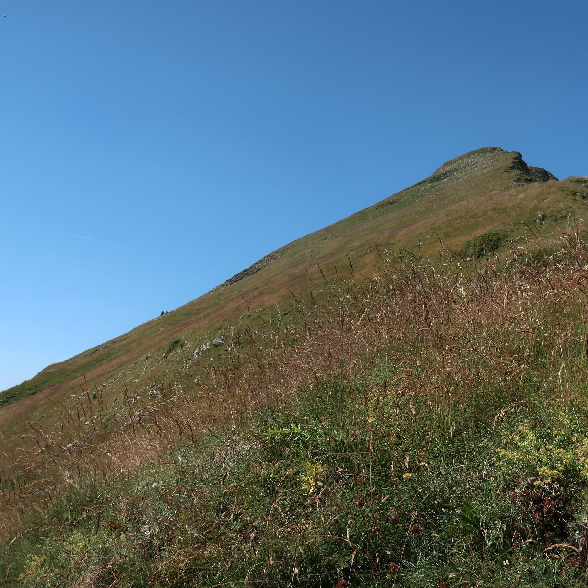
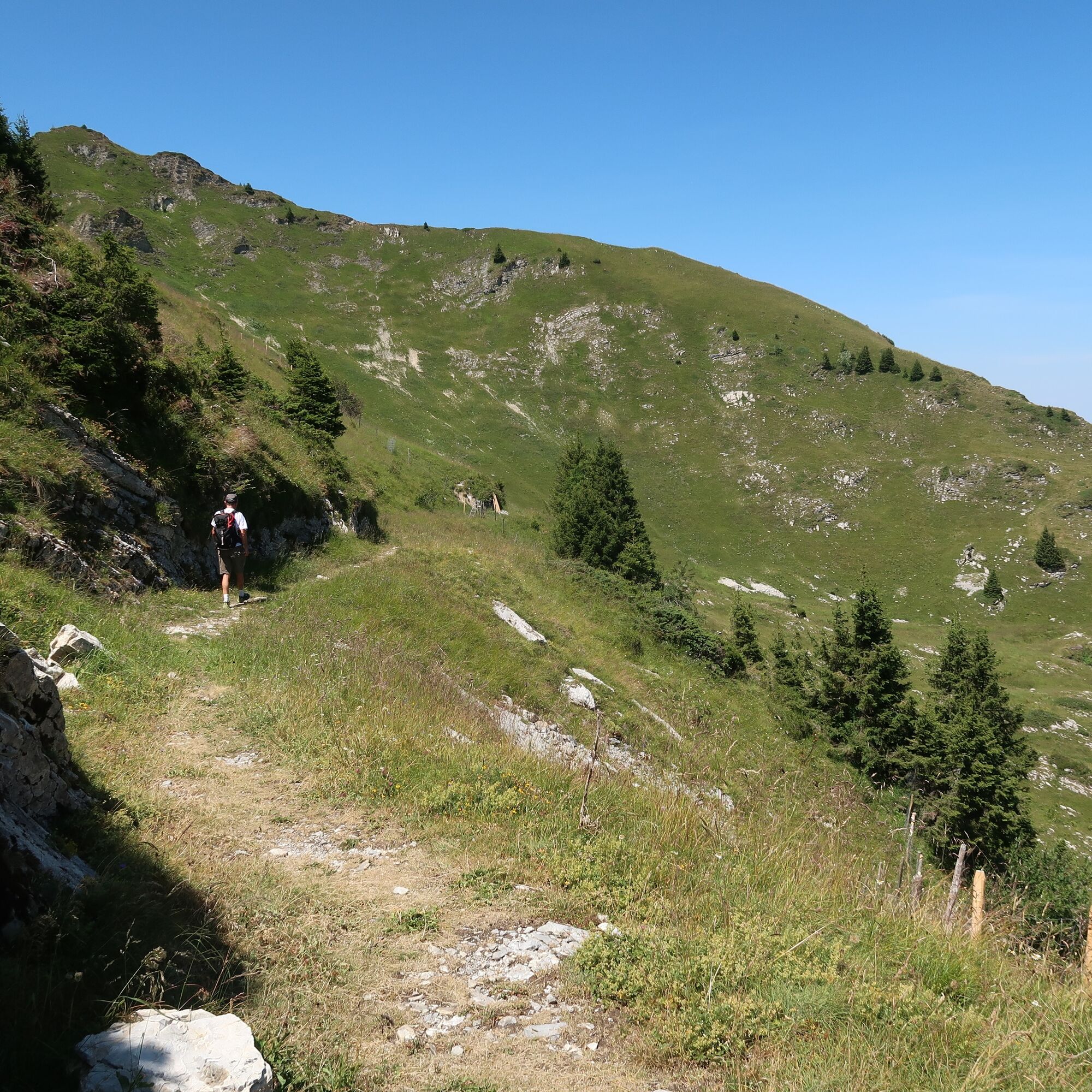
From the parking lot below Spittel Gantrisch, hike along the alpine road to the Chueharnisch saddle. From there, a narrow mountain path leads over the rocky ridge to the broad summit of the Schafharnisch....
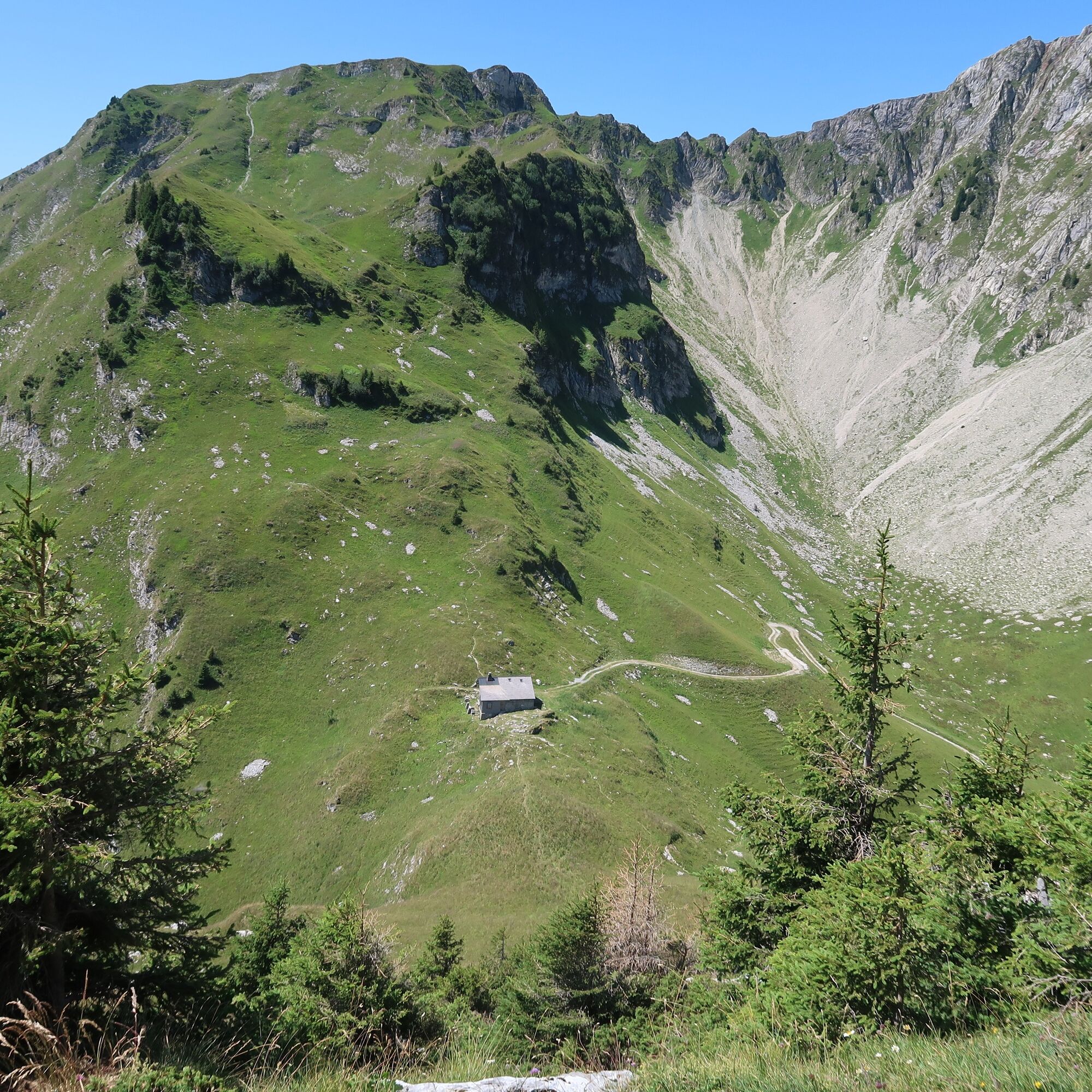
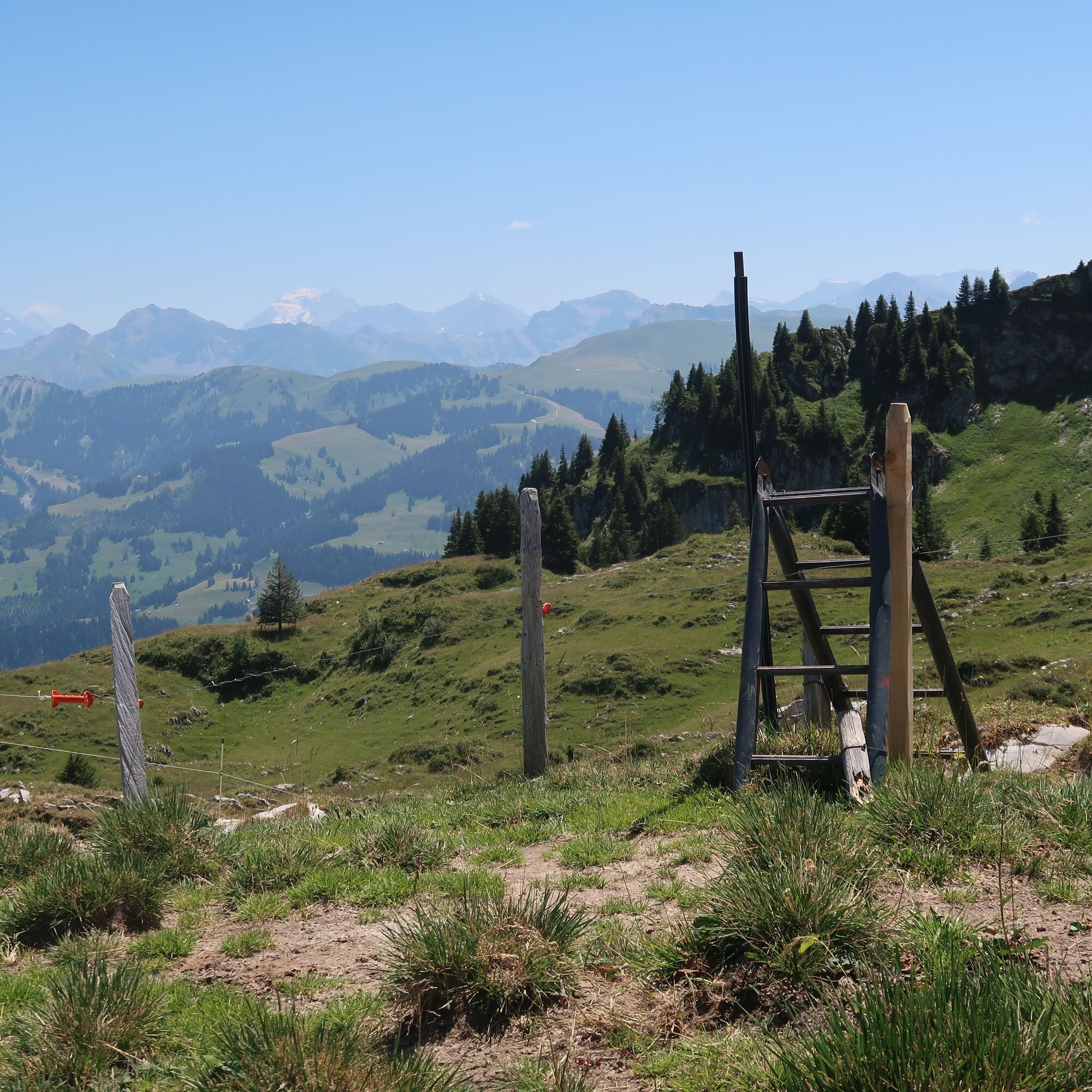
From the parking lot below Spittel Gantrisch, hike along the alpine road to the Chueharnisch saddle. From there, a narrow mountain path leads over the rocky ridge to the broad summit of the Schafharnisch. A circular descent is also possible via the east ridge and then northwards to the Chaenelpass. The zigzag path leads steeply down to Chänelgantrisch and the starting point.

Hiking equipment suitable for the weather
Arrival
This hike is not accessible by public transport
Arrival
Route with Switzerland Mobile
After the strenuous hike, a short detour to Alp Gantrischli is well worthwhile. There, visitors are treated to homemade cheese products and other regional specialties.
Popularne wycieczki w okolicy
-
4,6
Gantrisch Summit Hike, 2176 m elevation
średniWędrówka 9,13 km -
4,8
Wasserscheide - Gantrisch Seeli
światłoWędrówka 9,33 km -
4,0
High-altitude hike Gurnigel - Stockhorn
średniWędrówka 11,2 km -
3,6
Breccaschlund Panorama Trail (Switzerland Mobility 267)
średniWędrówka 12,9 km -
5,0
Lake Schwarzsee circular route (SwitzerlandMobility 787)
światłoWędrówka zimą 4,10 km -
4,7
Summit hike Ochsen, 2188 m above sea level
średniWędrówka 7,94 km -
4,7
Schwarzsee-Rundgang Häxewääg
światłoTrasa tematyczna 4,10 km -
Patraflon & Schopfenspitz
średniWędrówka 15,1 km -
4,6
Abländschen - Chalet Grat - Chalet Du Soldat - Wolfs Ort
średniWędrówka 14,6 km -
5,0
Jaunpass
światłoRakieta do chodzenia po śniegu 7,92 km
Wędrówki i tropienie


Nie przegap ofert i inspiracji na następne wakacje
Twój adres e-mail została dodana do listy mailingowej.