






Schwyberg Trail (SchweizMobil 283)

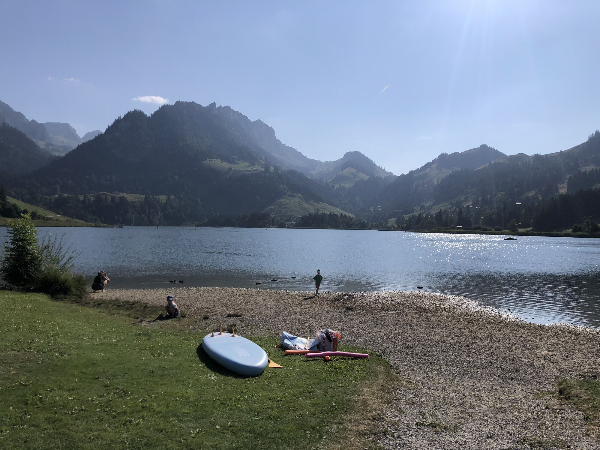
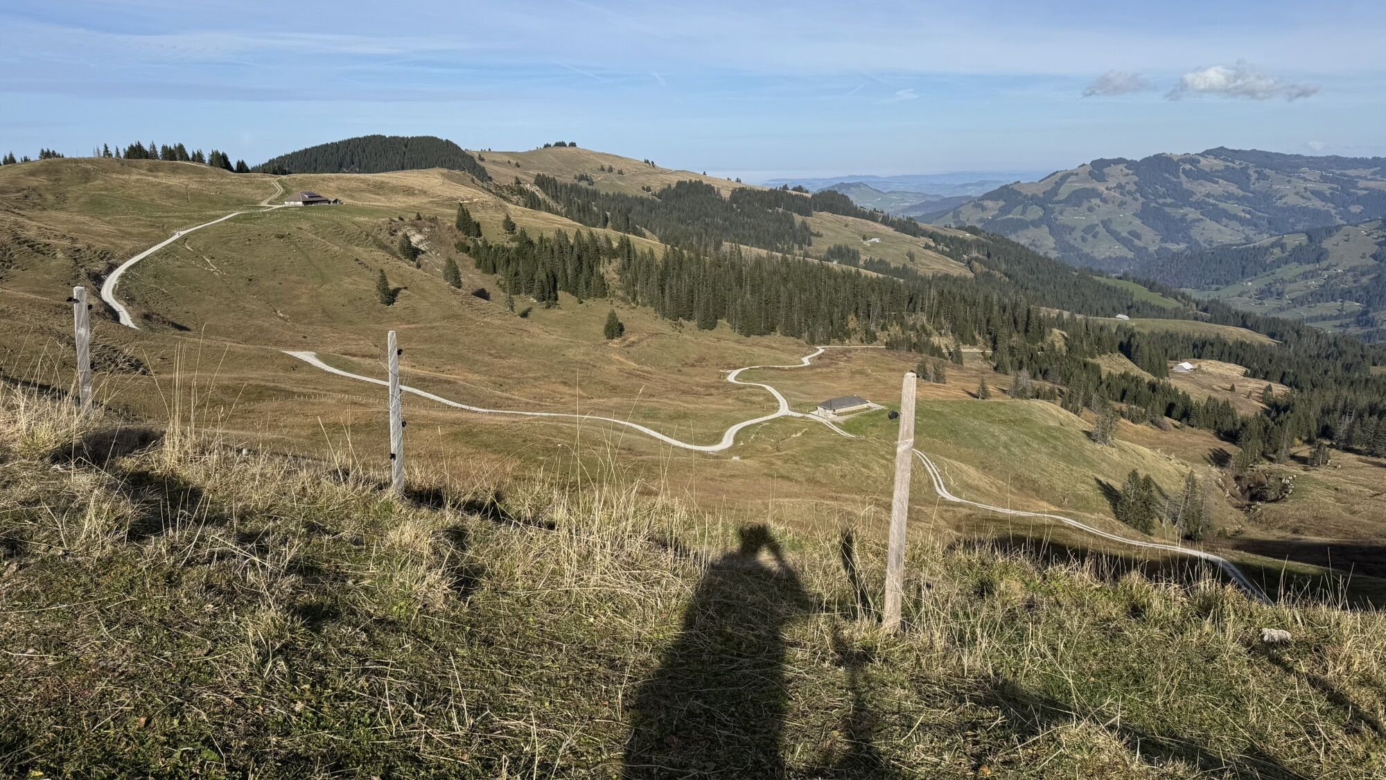
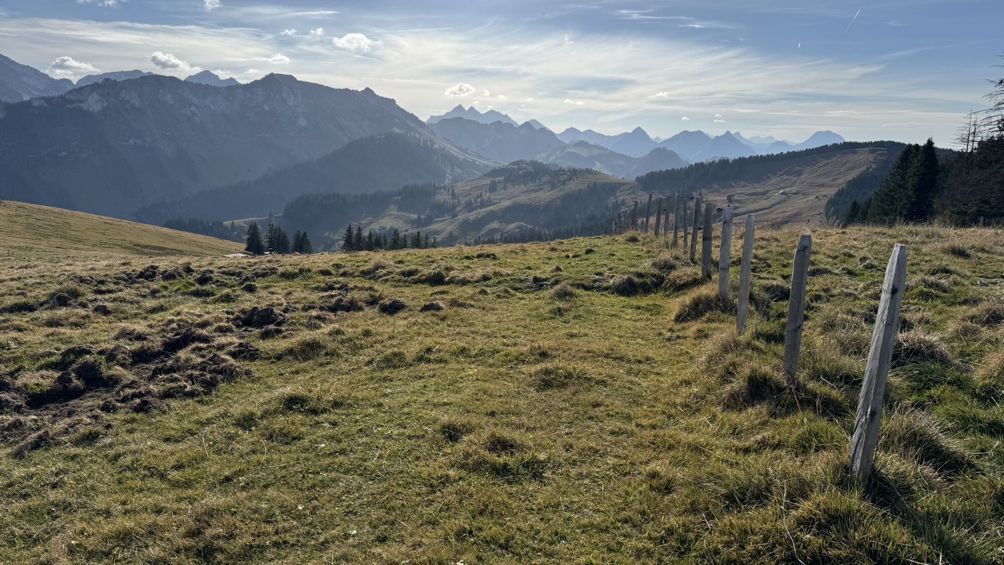
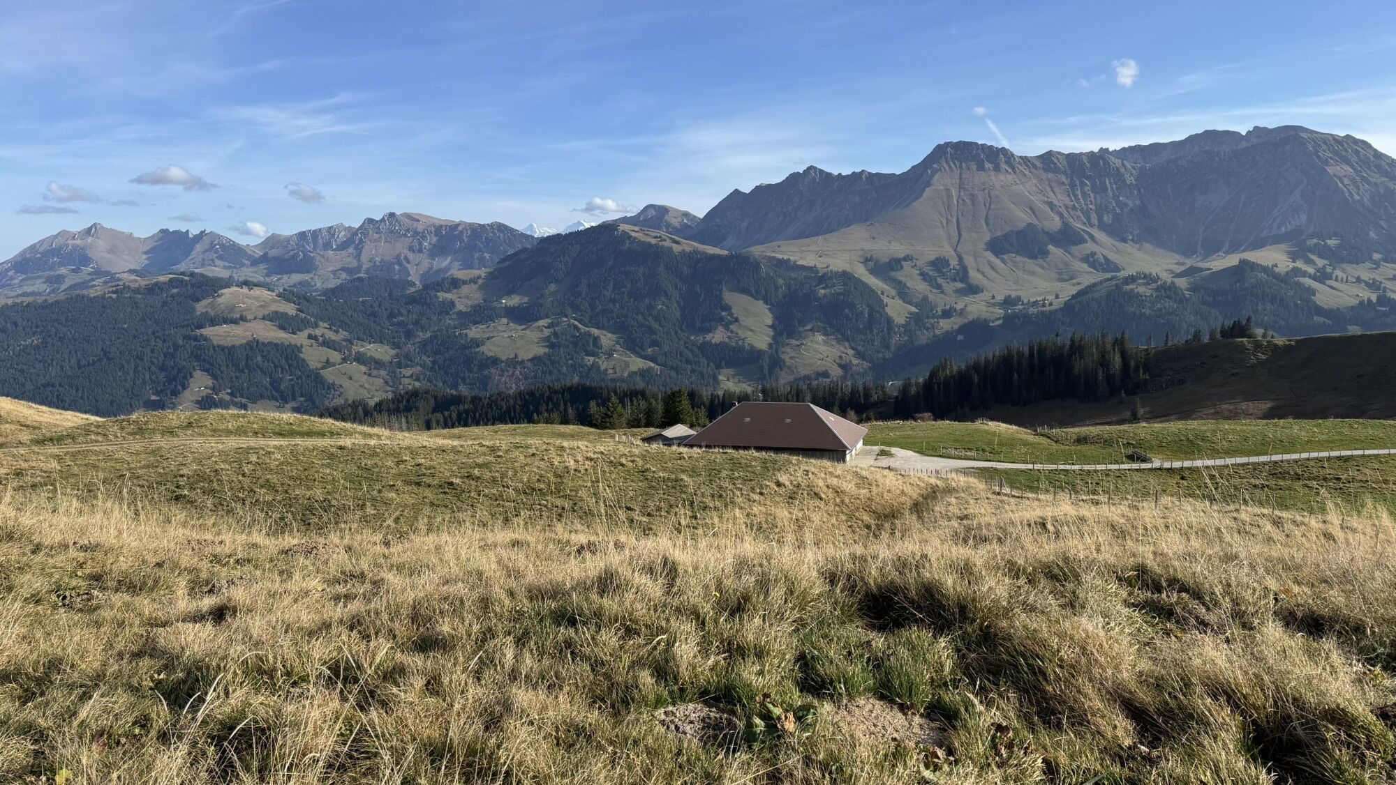
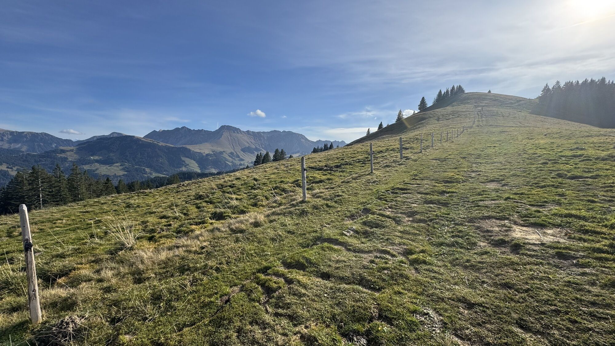
The start for the Schwyberg route is the Schwarzsee-Gypsera stop. From there, the route leads over gentle slopes up to Schlossisbödeli and further along the ridge of the Schwyberg. The effort of the ascent...
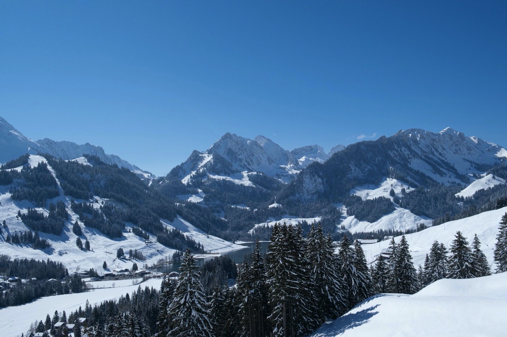
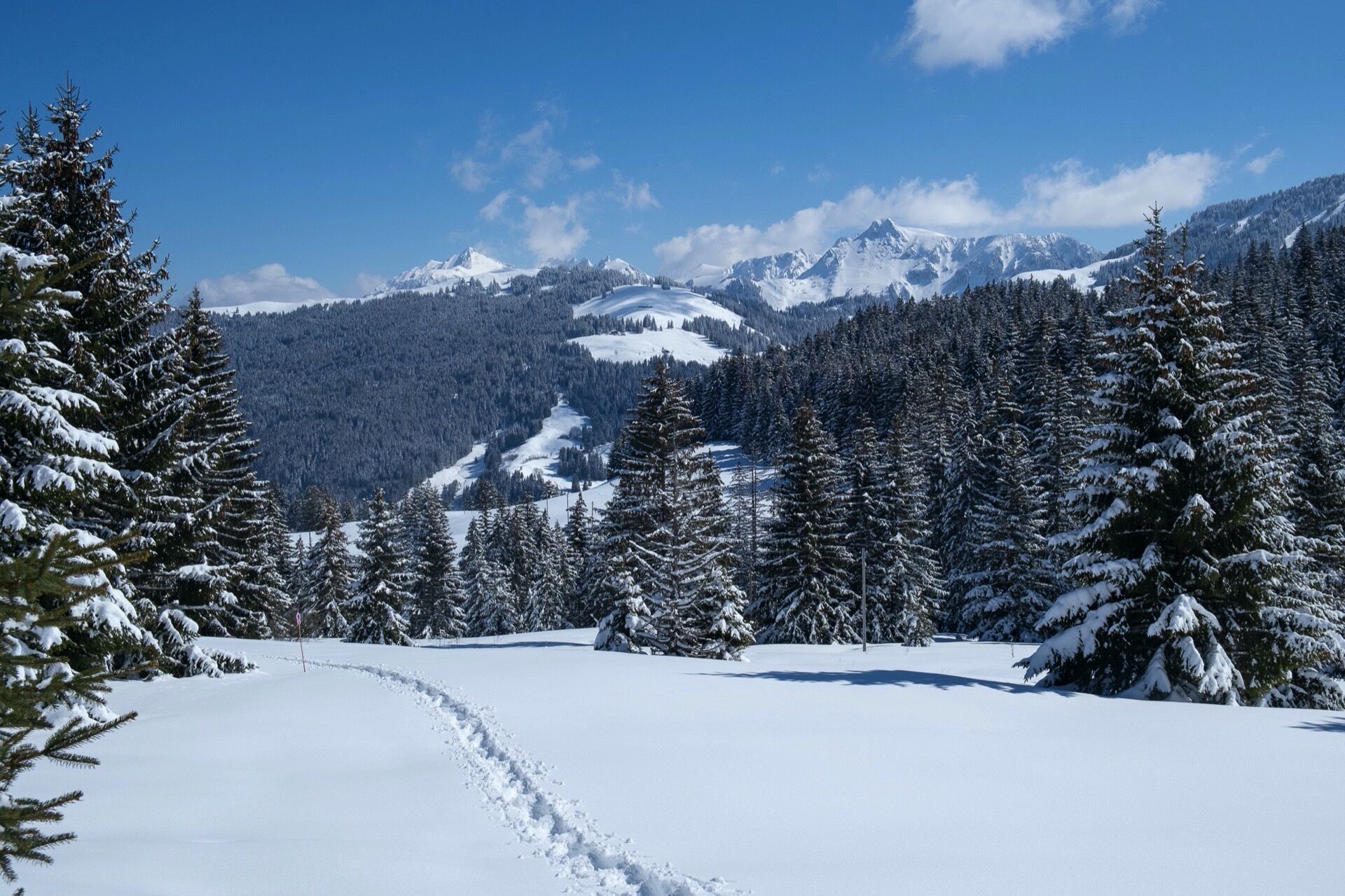
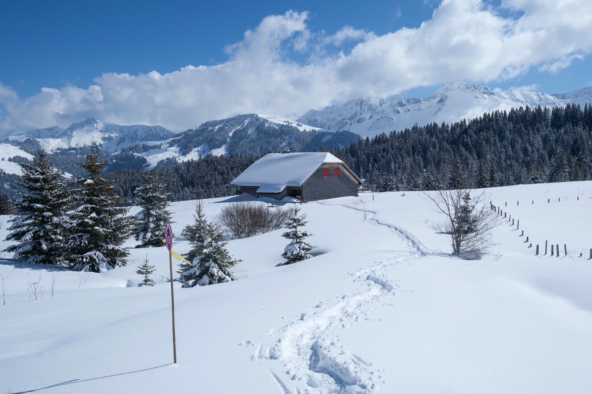
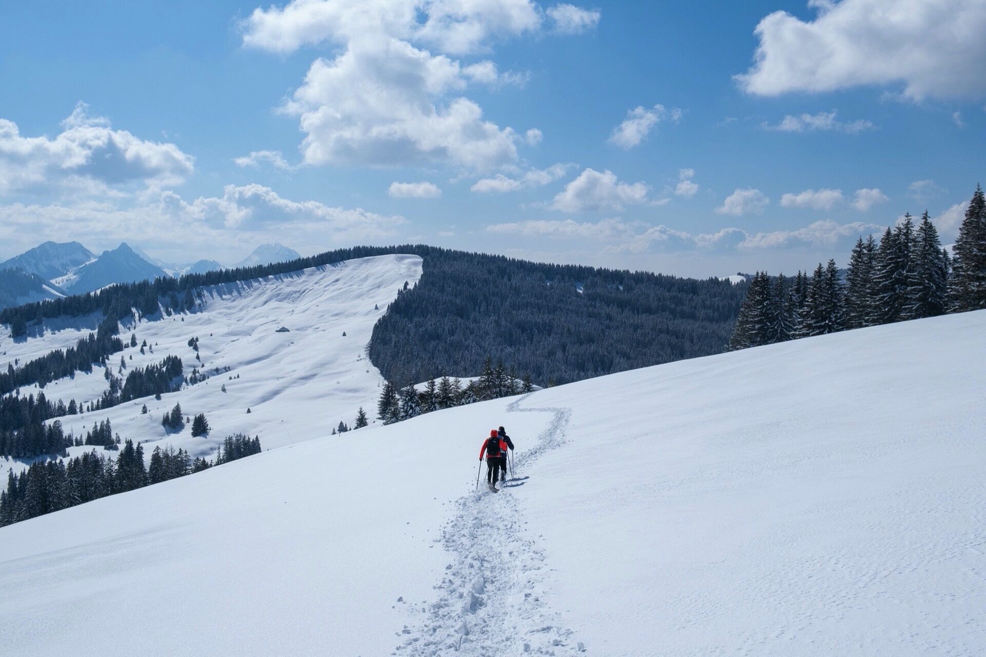
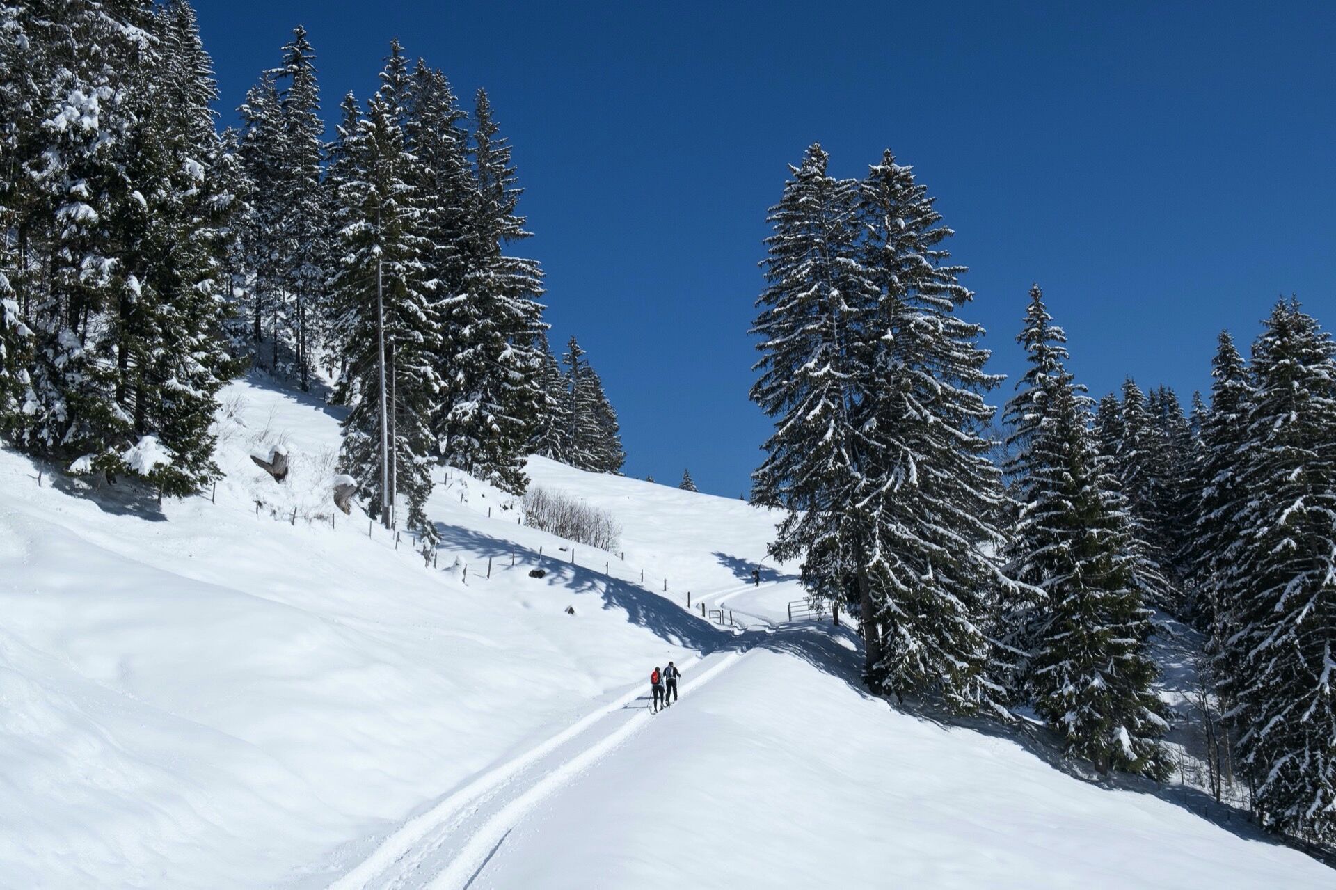
The start for the Schwyberg route is the Schwarzsee-Gypsera stop. From there, the route leads over gentle slopes up to Schlossisbödeli and further along the ridge of the Schwyberg. The effort of the ascent of around 600 meters in altitude is rewarded with a 360-degree panorama. From the Bernese, Vaud and Fribourg Alps, the view extends over the Central Plateau all the way to the distant Three-Lakes Region and Jura massif.

Rent
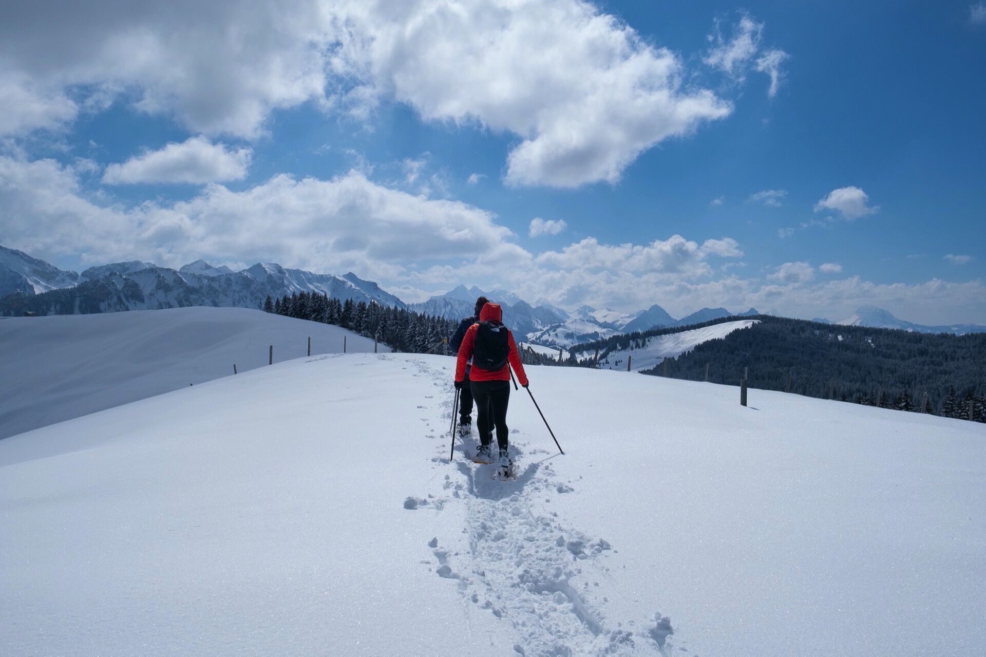
Snowshoes can be rented at Side Cut Schwarzsee.
Route Suisse Mobile
Route Schweiz Mobil
Louer
Les raquettes à neige peuvent être louées au Side Cut Schwarzsee.
Kamery internetowe z trasy

Popularne wycieczki w okolicy
-
4,6
Gantrisch Summit Hike, 2176 m elevation
średniWędrówka 9,13 km -
4,5
Wasserscheide - Gantrisch Seeli
światłoWędrówka 9,33 km -
3,7
Breccaschlund Panorama Trail (Switzerland Mobility 267)
średniWędrówka 12,9 km -
4,8
Summit hike Ochsen, 2188 m above sea level
średniWędrówka 7,94 km -
4,7
Abländschen - Chalet Grat - Chalet Du Soldat - Wolfs Ort
średniWędrówka 14,6 km -
5,0
Schwarzsee Circular Route (SchweizMobil 787)
światłoWędrówka zimą 4,10 km -
Patraflon & Schopfenspitz
średniWędrówka 15,1 km -
5,0
Riggisalp-Brecca-Schwarzsee Gypsera
średniWędrówka 10,1 km -
4,7
Schwarzsee circular route Häxewääg
światłoTrasa tematyczna 4,10 km -
4,0
Schwarzsee - Patraflon - Pointe de Balachaux - Schopfenspitz - Combi - Stierenberg - Schwarzsee
średniWędrówka 14,8 km
Wędrówki i tropienie


Nie przegap ofert i inspiracji na następne wakacje
Twój adres e-mail została dodana do listy mailingowej.





